
EE
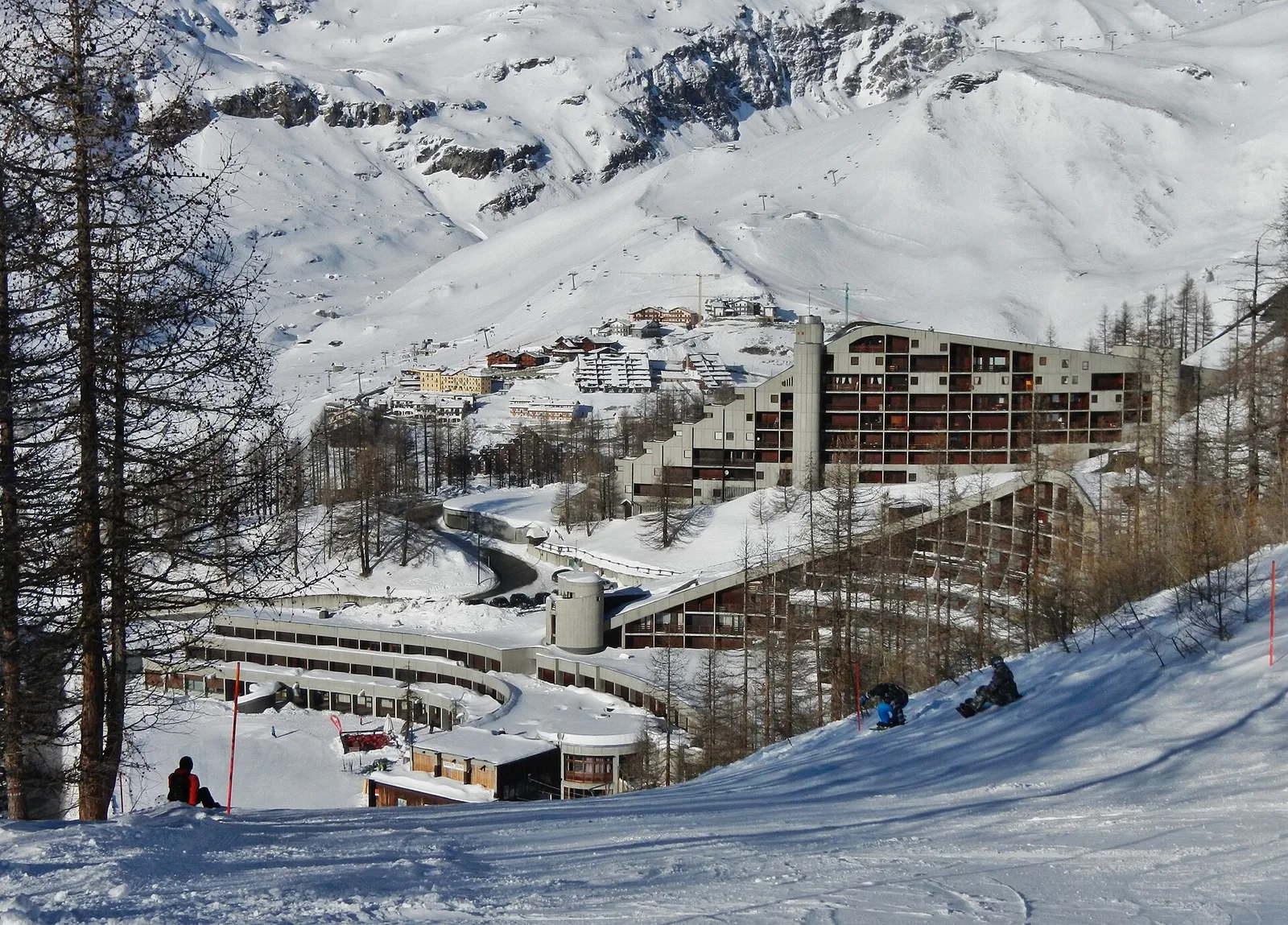
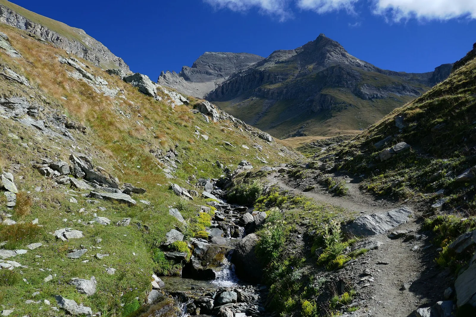
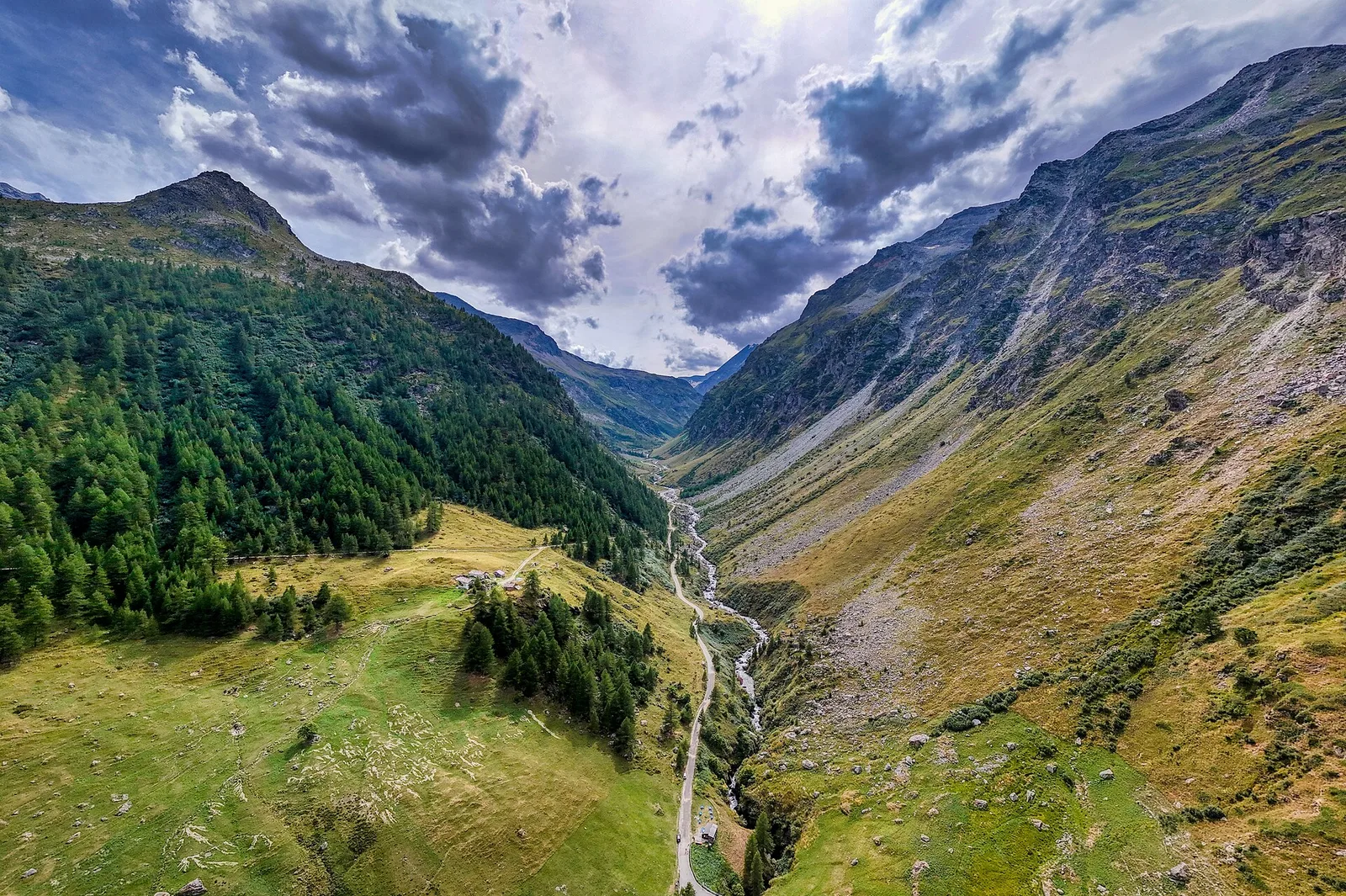
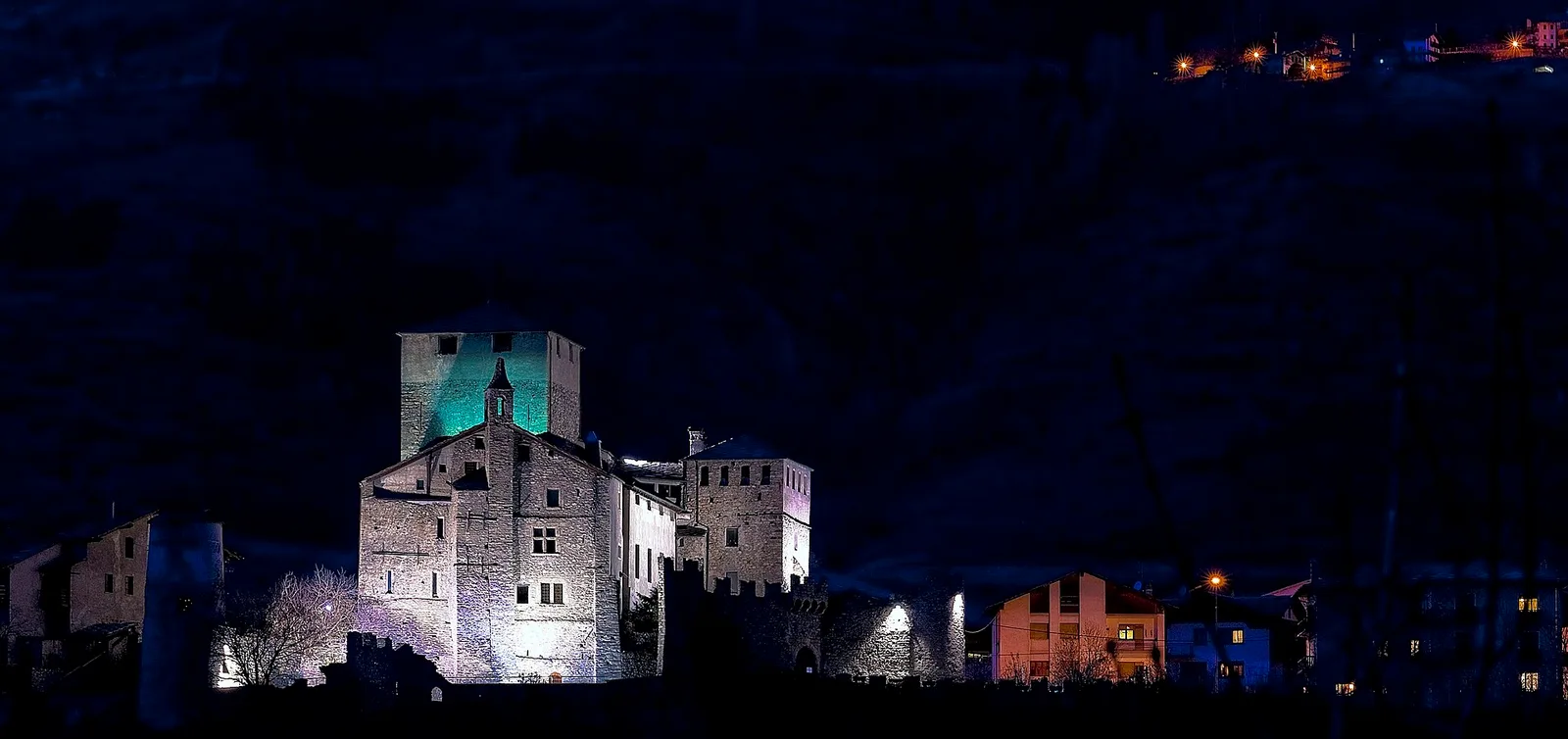
Valle centrale
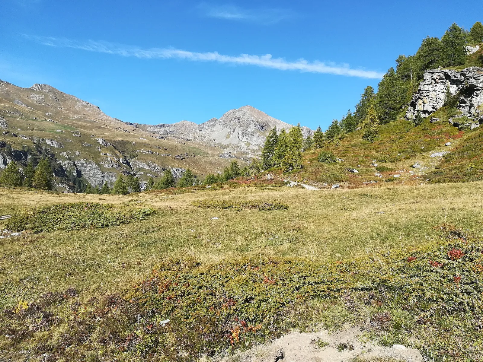
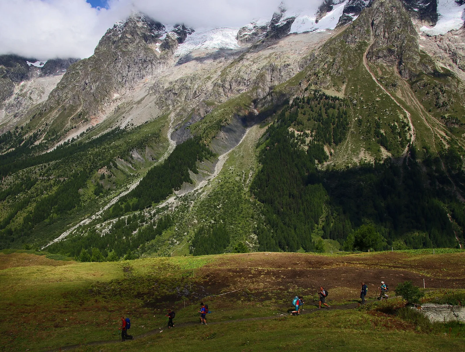
Amponey - Mont Facebelle
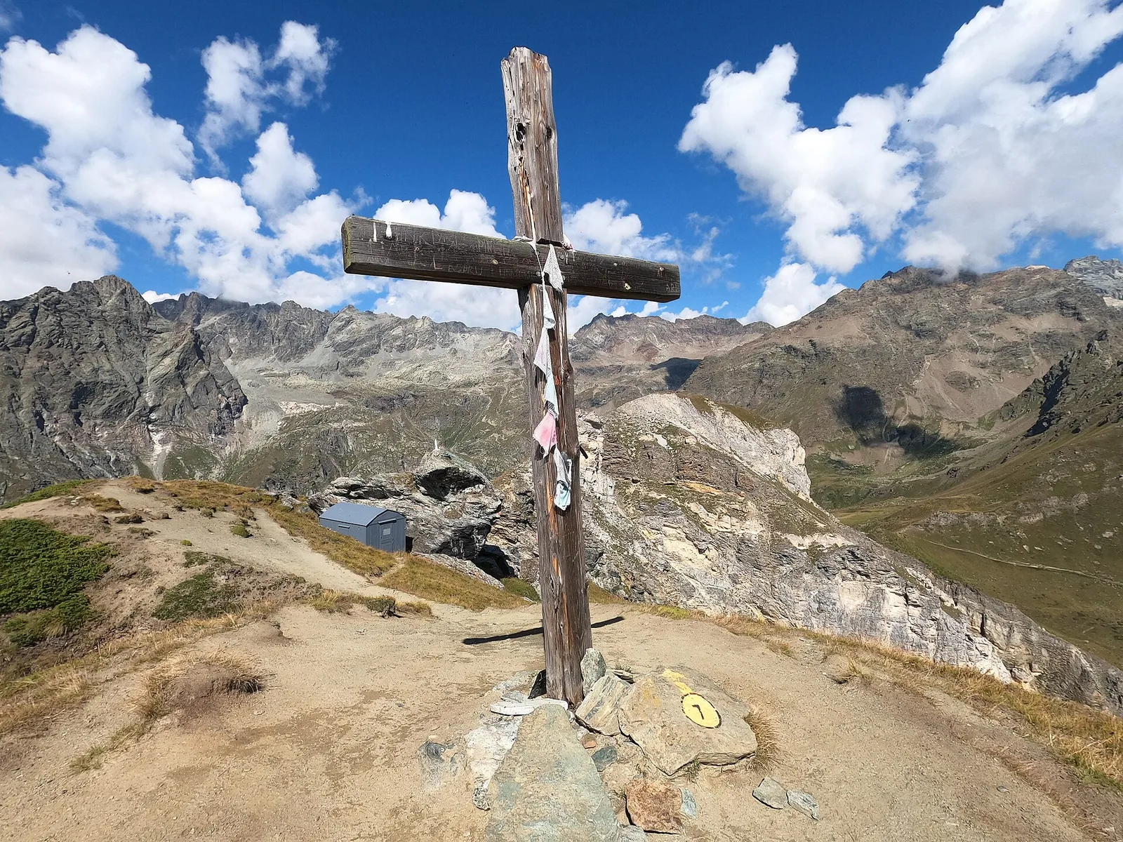
In the Val d'Ayas, Ayas: an E/EE-rated climb toward a high-altitude objective in the alpine landscape.
5.6 km+1077 m4 h
Where to spot
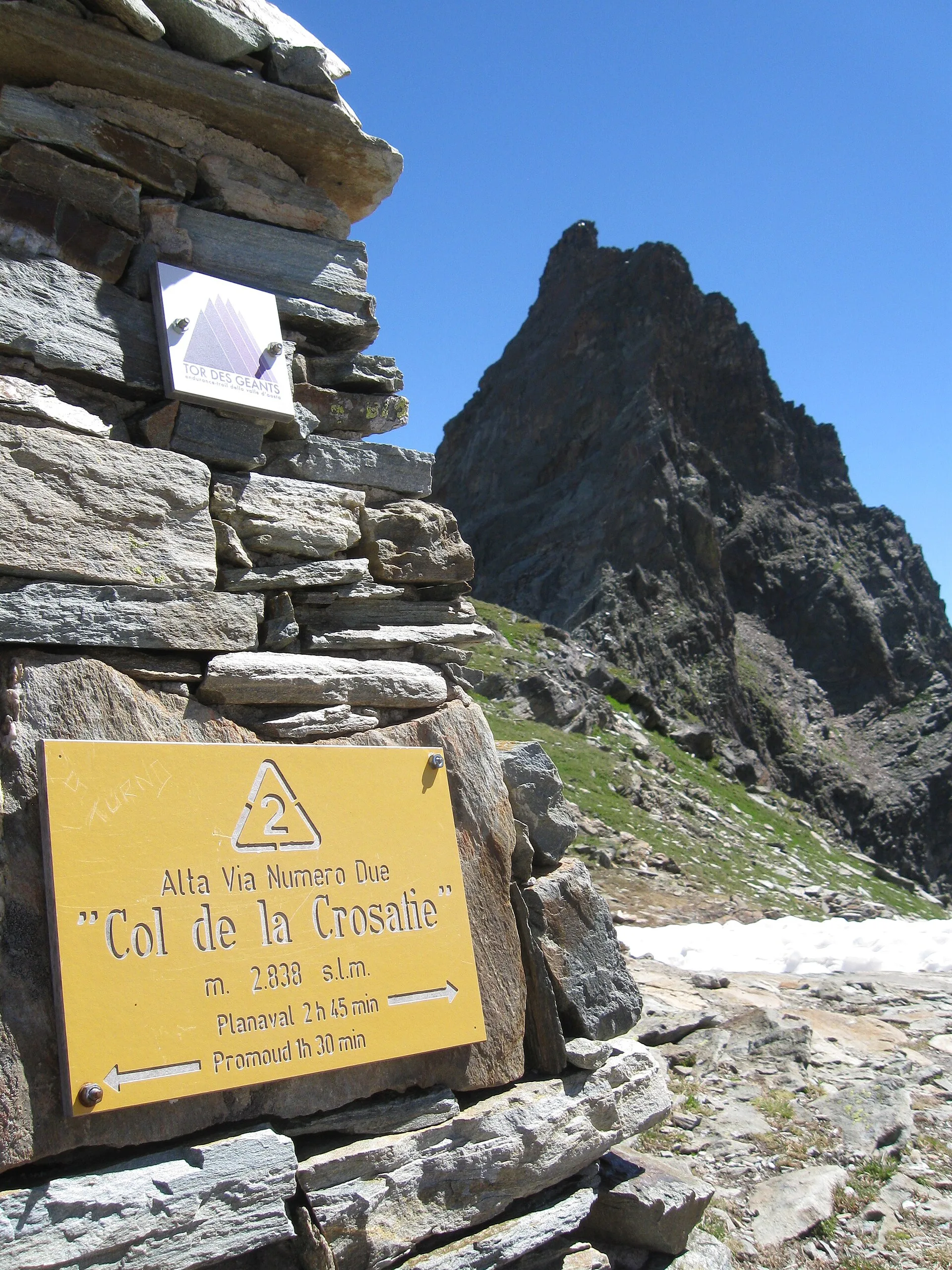
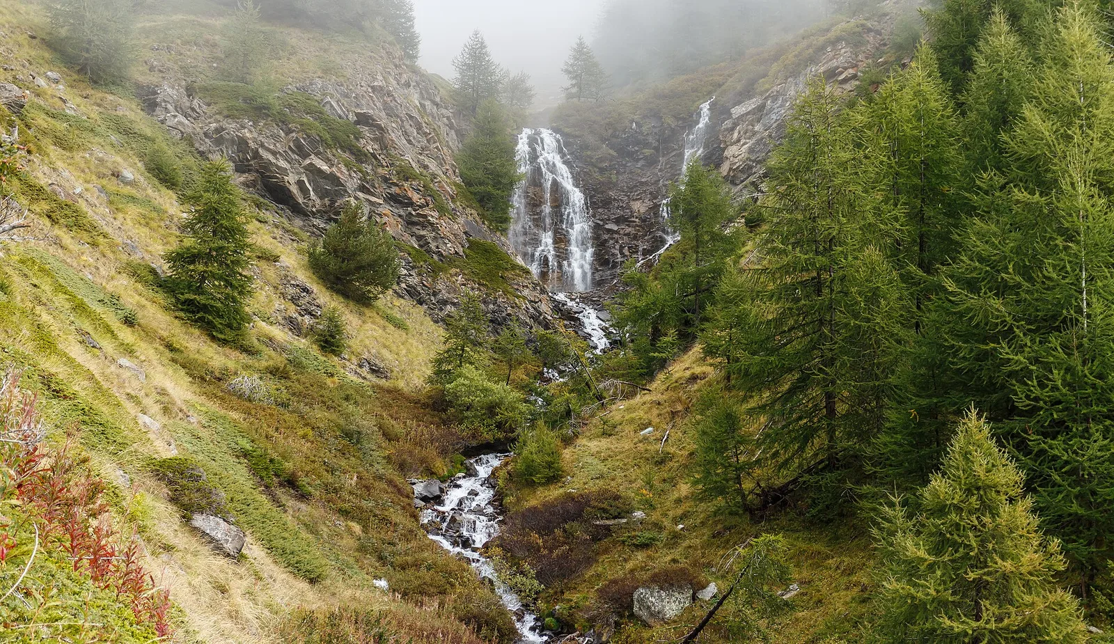
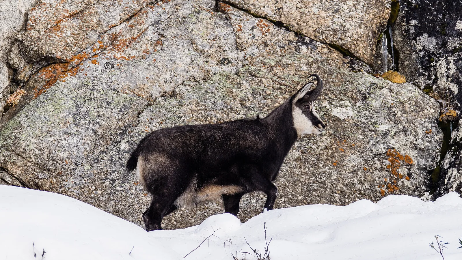
57 trails where Alpine buckthorn is listed in flora/fauna: difficulty T–EE, elevation gain 21–1983 m.
57 · 1.5–17.4 km · +21–1983 m
Valle centrale
In the Val d'Ayas, Ayas: an E/EE-rated climb toward a high-altitude objective in the alpine landscape.
Valle centrale
2 km · +107 m · E — from area pic-nic to Falegnon (Central Valley).
Valdigne
2 km · +262 m · E — from Baulin to Mont-Colombo (Valdigne).
Valle centrale
In the Monte Emilius massif: an EE route toward a pass or panoramic point on the ridges above the central Aosta Valley.
Valtournenche
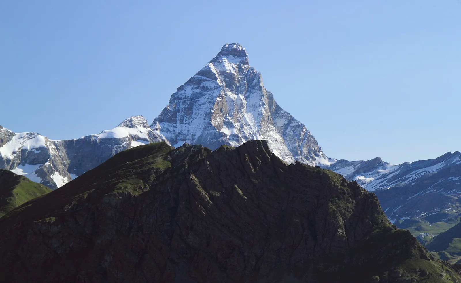
A long traverse through Valtournenche from the vineyards of Bourg (1,078 m) to the pastures of Maen (1,991 m), with views toward the Matterhorn.
Valle centrale
2.6 km · +21 m · E — from N.D. to N.D. (Central Valley).
La Thuile
9.9 km · +1873 m · E — from Chabodey to Passo Alto (Haut-Pas) (La Thuile).
La Thuile
9.1 km · +949 m · E — from Challancin to Col Fetita (La Thuile).
Valtournenche
6.6 km · +1044 m · E — from Chardonney to Cimetta Rossa (Valtournenche).
Valle centrale
5 km · +1299 m · EE — from Parcheggio Cheneil to Mont Roisetta (Central Valley).
Valtournenche
10.9 km · +1302 m · E — from Surrier to Col Bassac Déré (Valtournenche).
Valle del Lys
4 km · +440 m · E — from Col de la Fouclaz to Mont-Valaisan (Lys Valley).
Valle del Lys
1.8 km · +219 m · E — from Cossèi to Belvedere Tsan (Lys Valley).
Valle del Lys
4.9 km · +831 m · E — from Cré to Croix de Bouque (Lys Valley).
Valle del Gran San Bernardo
14.3 km · +1234 m · E — from Dolonne to Rifugio Elisabetta (Great St Bernard Valley).

Valle del Gran San Bernardo
10.8 km · +1062 m · EE — from Druges to Grande Chaux (Great St Bernard Valley).
Val d'Ayas
10.2 km · +1325 m · E — from Eaux-Rousses to Col de l'Entrelor (Ayas Valley).
Valle centrale
5 km · +823 m · E — from Eternod to Mont Paglietta (Central Valley).
Valpelline
8.3 km · +1014 m · E — from Etirol to Col de Tsomioy (Valpelline).
Val d'Ayas
5.1 km · +233 m · T — from Fenille to Degioz (Ayas Valley).
Valle centrale
4.5 km · +938 m · E — from Fey to Croix Corma (Central Valley).
Valle centrale
1.5 km · +313 m · E — from Fossaz to Fournaise (Central Valley).
Valle del Lys
6.1 km · +1004 m · E — from Gimillan to Col Tsasèche (Lys Valley).
Valpelline
3.7 km · +1428 m · EE — from Glacier to Rifugio Amianthe (Valpelline).
Valle del Lys
5.4 km · +1403 m · EE — from Gressoney-la-Trinité to Piccolo Rothorn (Lys Valley).
Valle del Gran San Bernardo
5.5 km · +1202 m · E — from Hermitage to Col Licony (Great St Bernard Valley).

Valle del Lys
7.8 km · +1322 m · EE — from Le Crin to Col Lavodilec (Lys Valley).
Valle del Lys
5.2 km · +828 m · EE — from Le Crin to La Rossaz (Lys Valley).
Valle del Lys
4 km · +593 m · E — from Combes to Plan Bry (confine comunale Valgrisenche) (Lys Valley).
Valle centrale
2.3 km · +592 m · E — from Lillianes to Sainte-Marguerite (Central Valley).
Valle centrale
From Lod (2017m) to Pointe de Falinière (2763m): 3.7 km EE on open high-altitude terrain in the Champdepraz area.
Valtournenche
5.7 km · +980 m · E — from Menthieu, partenza poderale to Forclaz du Bré (Valtournenche).
Valtournenche
5.8 km · +1334 m · EE — from Outrefer to Mognissola (Valtournenche).
Valle del Lys
11.4 km · +1418 m · E — from Parcheggio Area camper to Col de la Lex Blanche (Lys Valley).
Valle centrale
5.5 km · +971 m · EE — from Perrères to Motta di Plété Occidentale (Central Valley).
Valle centrale
2.4 km · +790 m · E — from Saint-Roch to Col de Plan Fenetre (Central Valley).
Valtournenche
3.4 km · +733 m · E — from Pompiod to Montcorvé dessus (Valtournenche).
Val d'Ayas
7.9 km · +969 m · E — from Pont du Grand Clapey to Plan Borgnoz (Ayas Valley).
Valle centrale
A long, severe climb on Aosta's adret: nearly 2000 m of ascent from the Porossan vineyards to the panoramic Col di Viou (2713 m).
Val d'Ayas
4.9 km · +983 m · E — from Praviou to Rifugio Chabod (Ayas Valley).
Val d'Ayas
5.8 km · +881 m · E — from Praviou to Rifugio Chabod (Ayas Valley).
Valtournenche
4.5 km · +877 m · E — from Rifugio Bezzi to Col Bassac (Valtournenche).
Valle del Gran San Bernardo
5.7 km · +903 m · E — from Rif . Bonatti to Col Malatr� (Great St Bernard Valley).

Val d'Ayas
6.1 km · +1025 m · E — from Rikurt to Muni (Ayas Valley).
Valle centrale
From Saint-Jacques (1700 m) to Col della Bettaforca (2672 m): a historic cross-border pass between Val d'Ayas and Valsesia. 5.1 km, +987 m, E.
Valle centrale
From Saint-Jacques (1,700 m) to the Col de Nannaz (2,770 m): 6.6 km and over 1,000 m of ascent with views over the central Aosta Valley ridges.
Valle del Gran San Bernardo
5.5 km · +663 m · E — from Seissogne to Innesto S12 (Great St Bernard Valley).
Valle del Lys
2.1 km · +740 m · EE — from Servettaz to Druges (Lys Valley).
Valle del Lys
6.6 km · +1067 m · E — from Stafal to Col d'Olen (Lys Valley).
Valle del Lys
8.4 km · +1020 m · EE — from Staffal to Punta Telcio (Lys Valley).
Valle di Champorcher
8.6 km · +1145 m · E — from Steina to Passo di Loo (Champorcher Valley).
Valtournenche
3.5 km · +639 m · EE — from Strada Dondena to Col Cima Piana (Valtournenche).
Val d'Ayas
Estoul (1884 m) to Col de Palasinaz (2676 m), Val d'Ayas: scenic pass linking the valley to Champoluc. 6.3 km, +797 m, E.
Valle centrale
5.6 km · +1100 m · E — from Strada regionale per Arpy to Croix du Folliet (Central Valley).
Valle centrale
11.4 km · +1165 m · E — from Crest to Rifugio Grand Tournalin (Central Valley).
Valle del Lys
12.1 km · +1236 m · E — from Les Sergnoux to Rey (Lys Valley).
Valle del Gran San Bernardo
6.9 km · +1231 m · E — from Villair to Tête de la Tronche (Great St Bernard Valley).