E
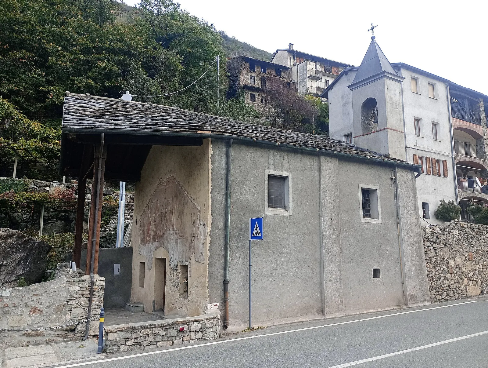
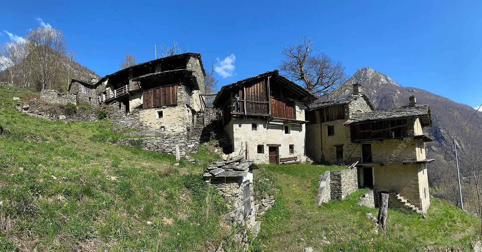
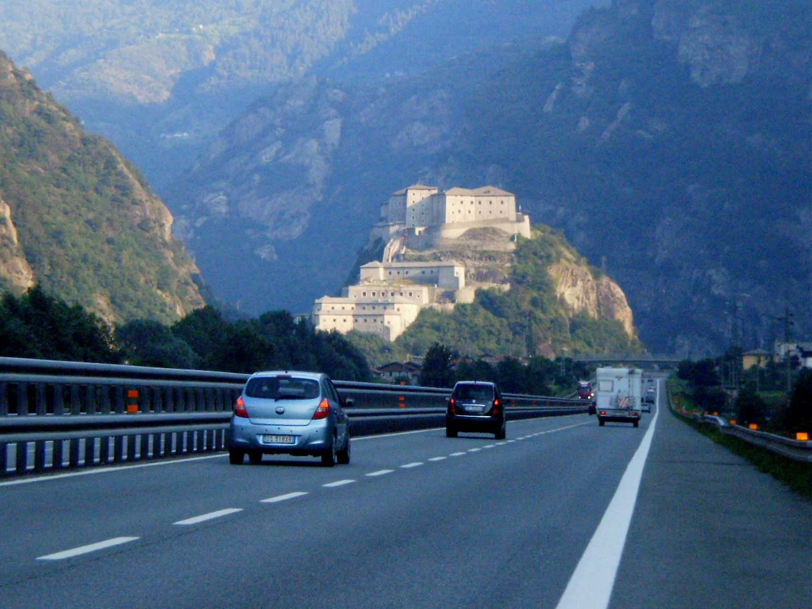
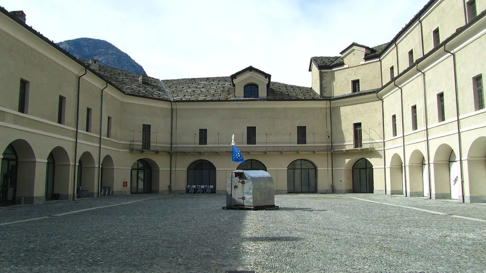
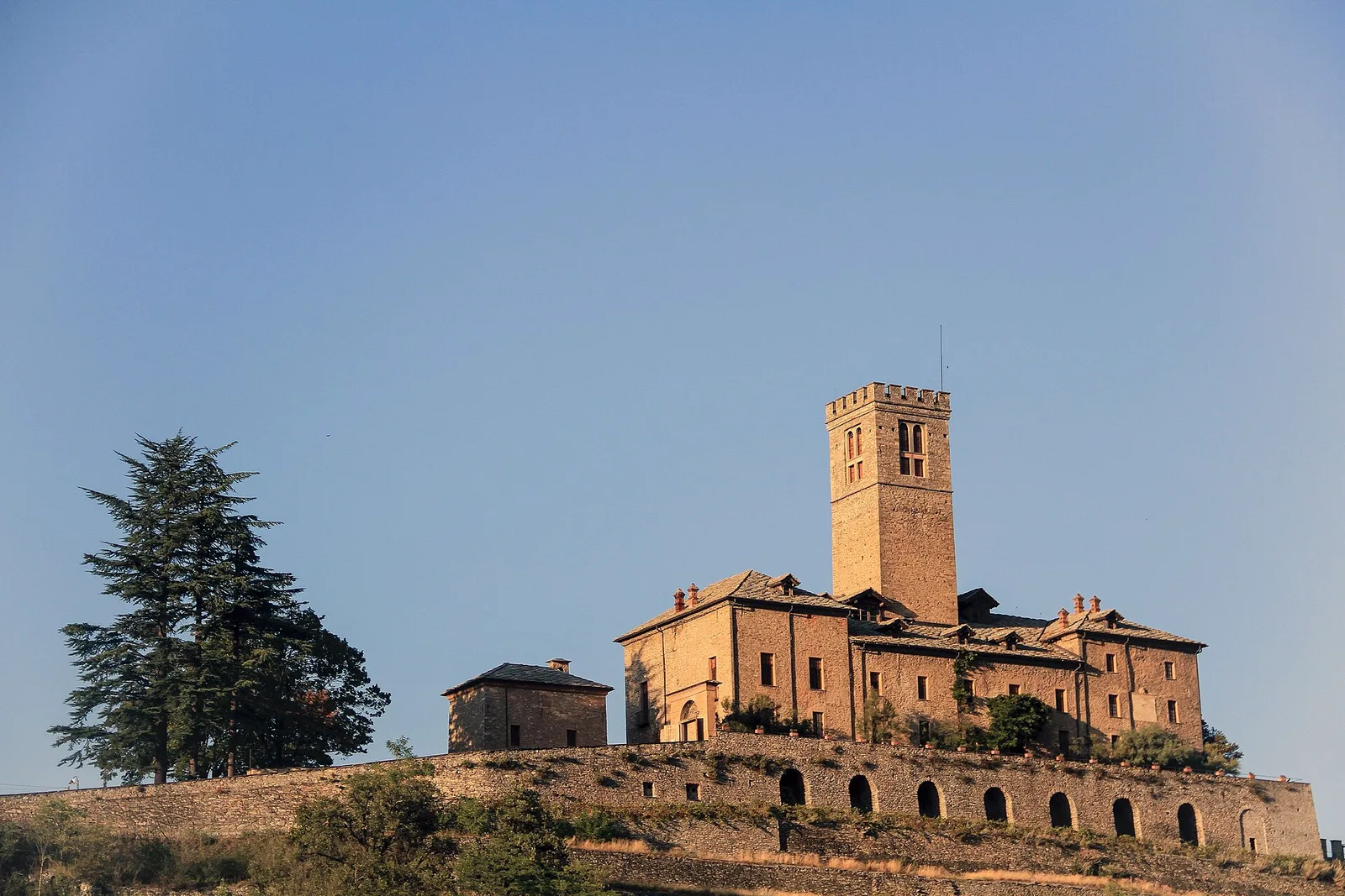
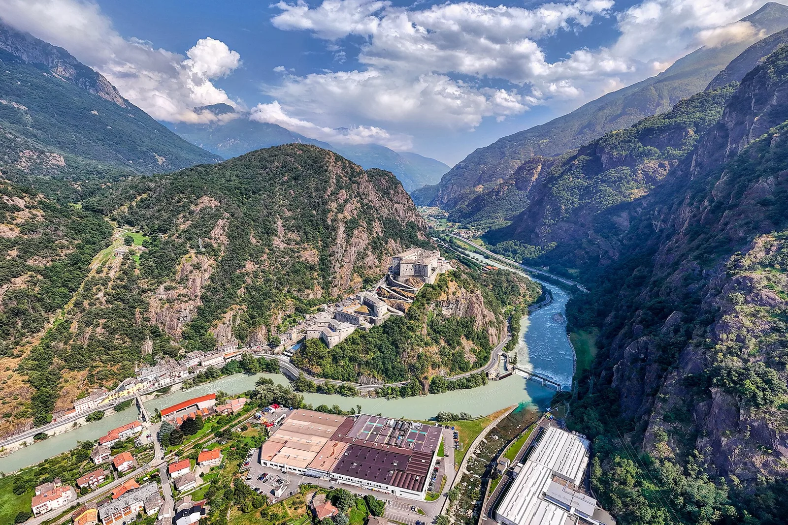
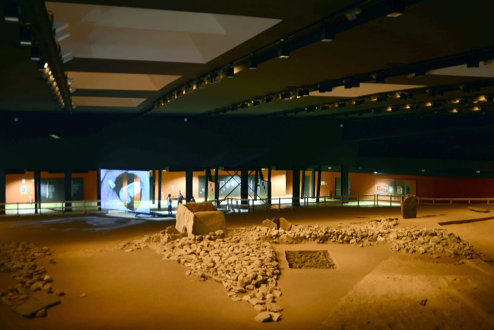
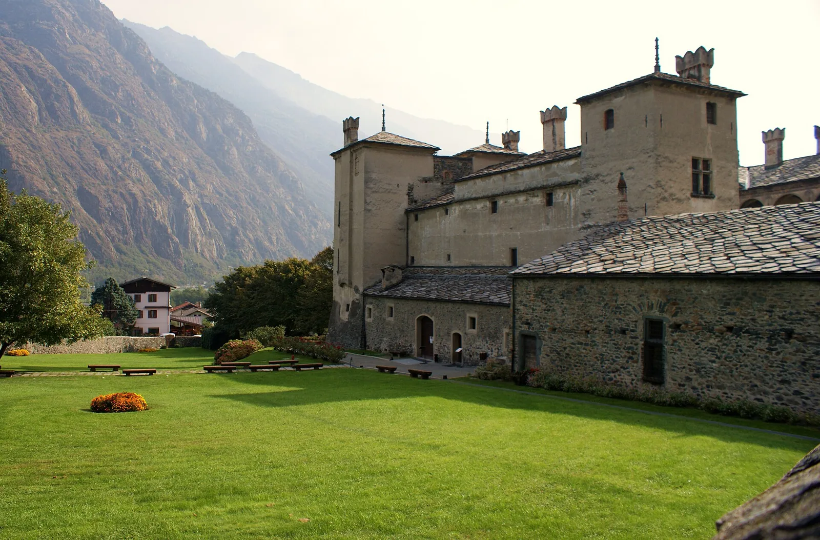
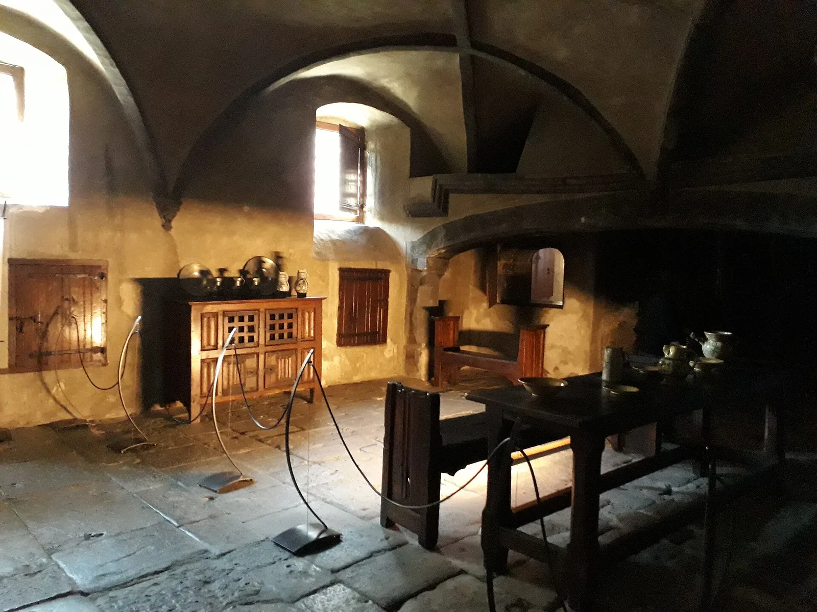
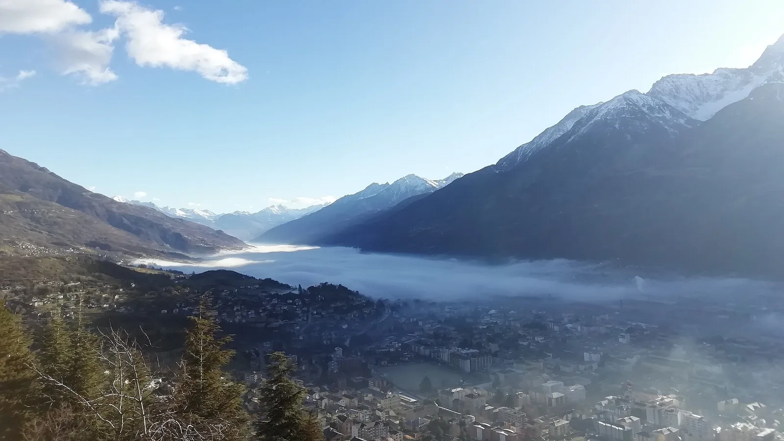
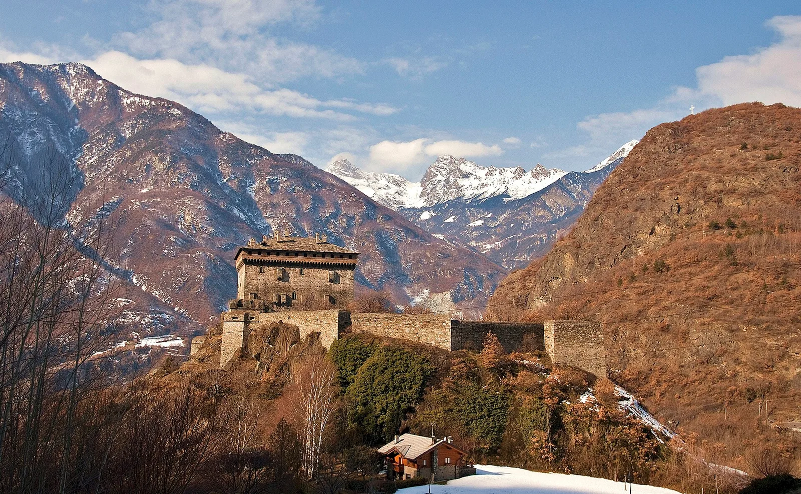
Bassa Valle
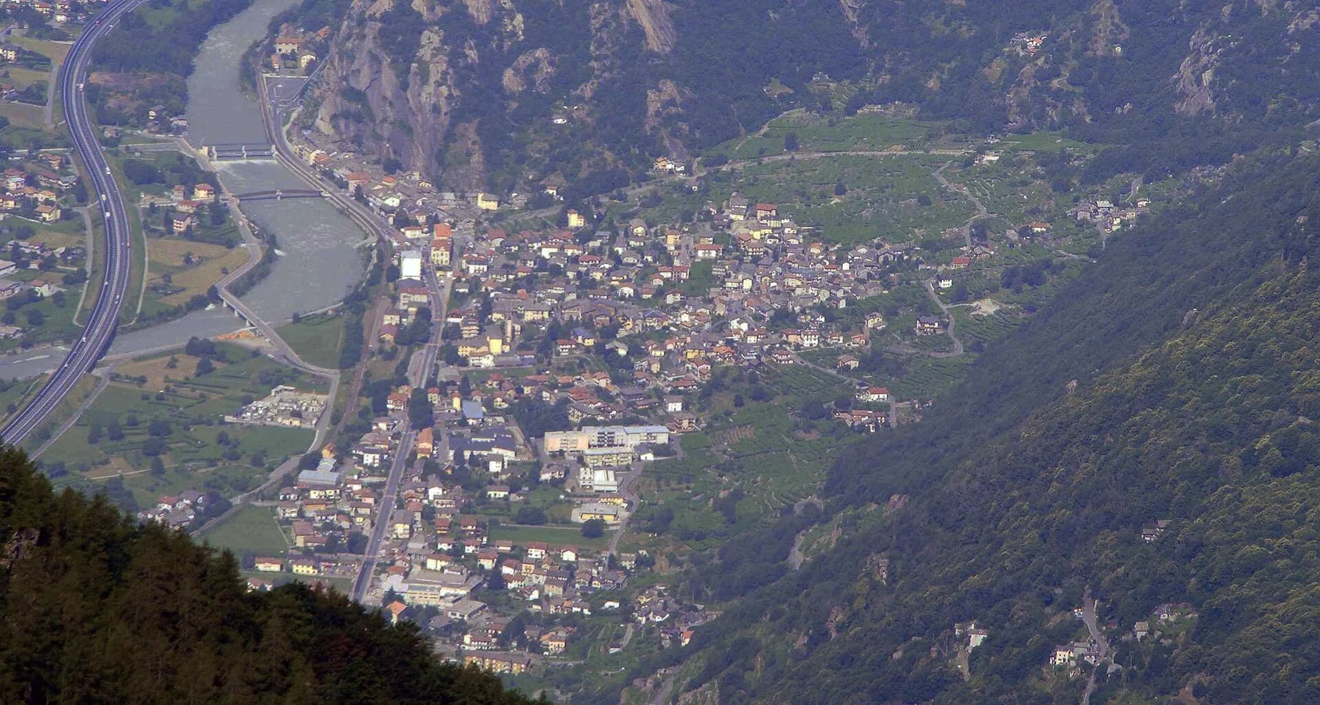
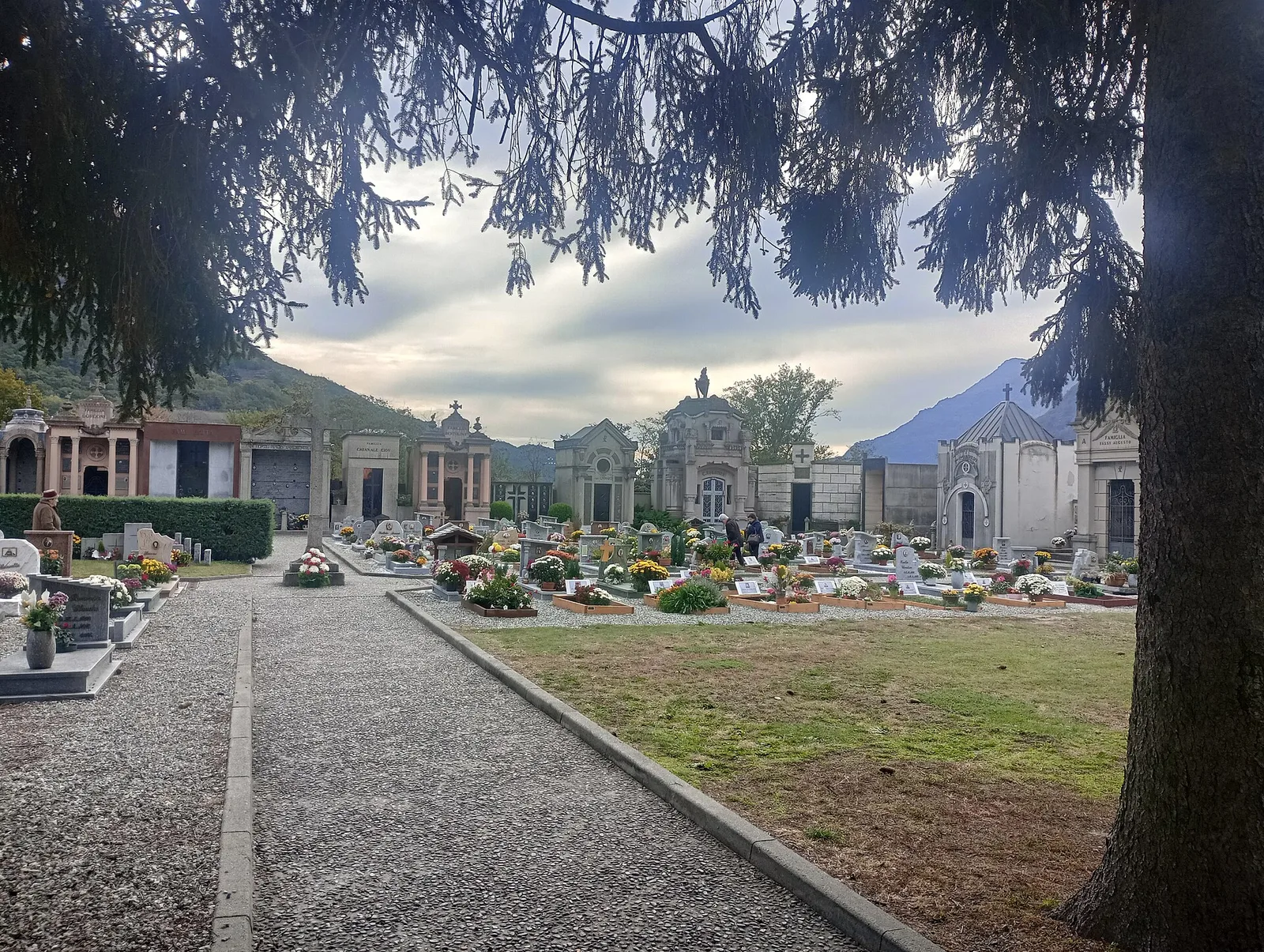
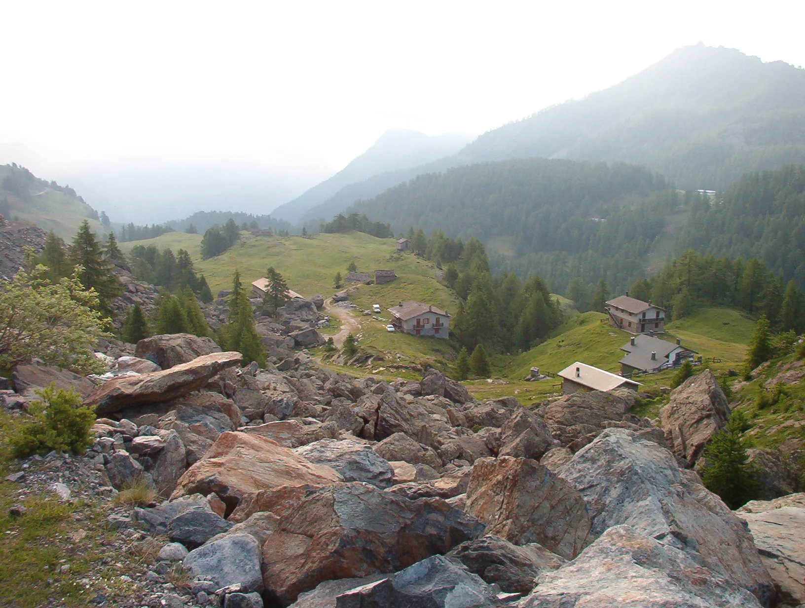
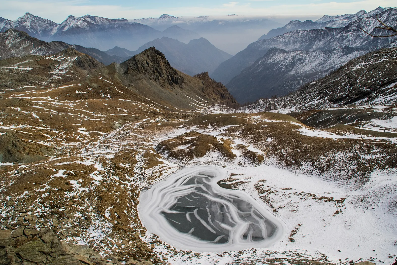
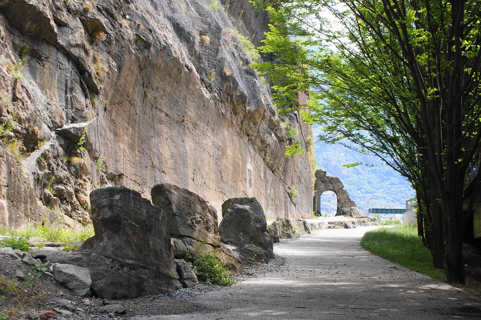
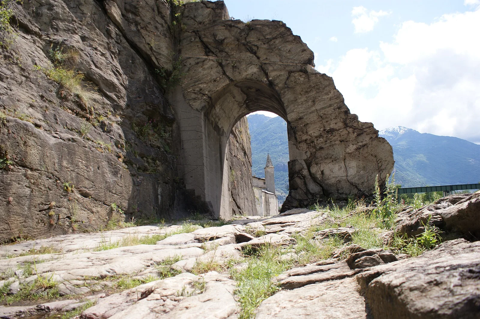
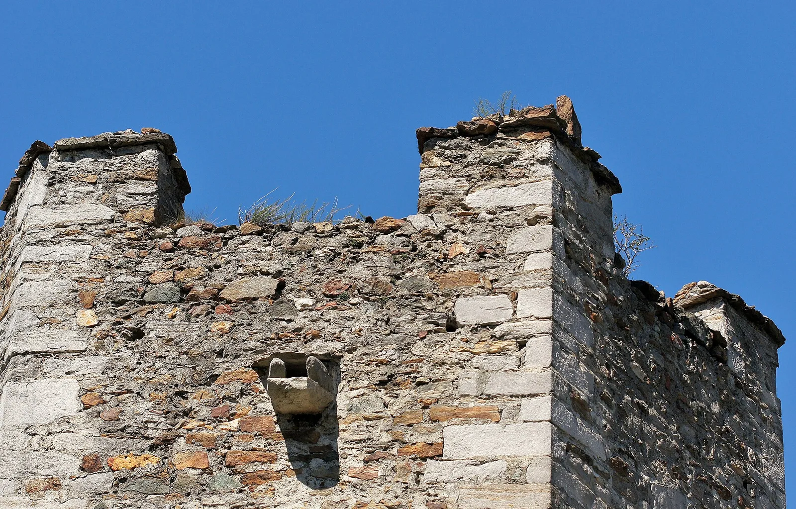
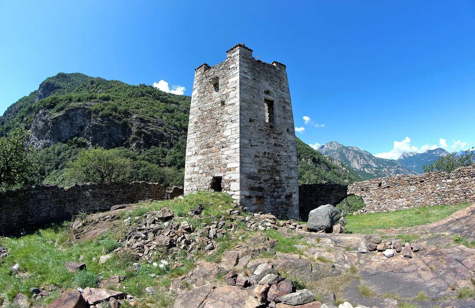
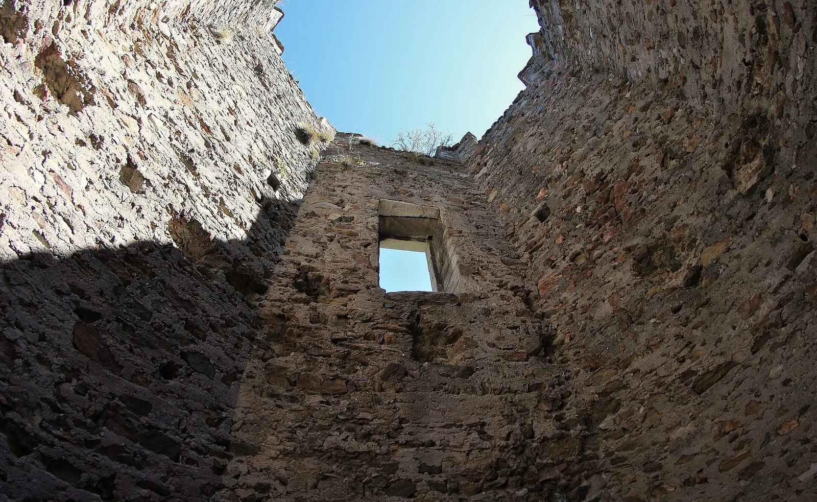
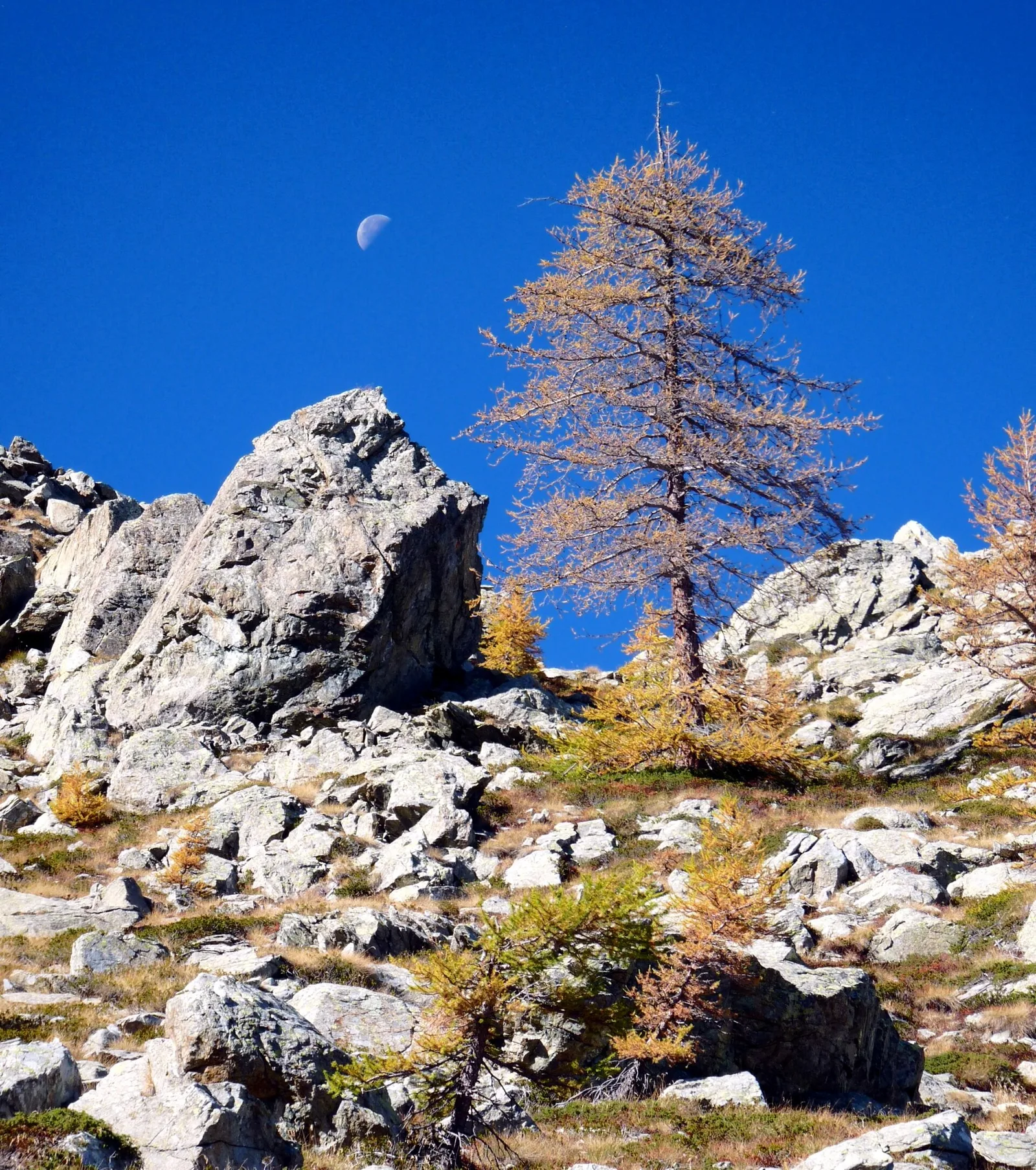
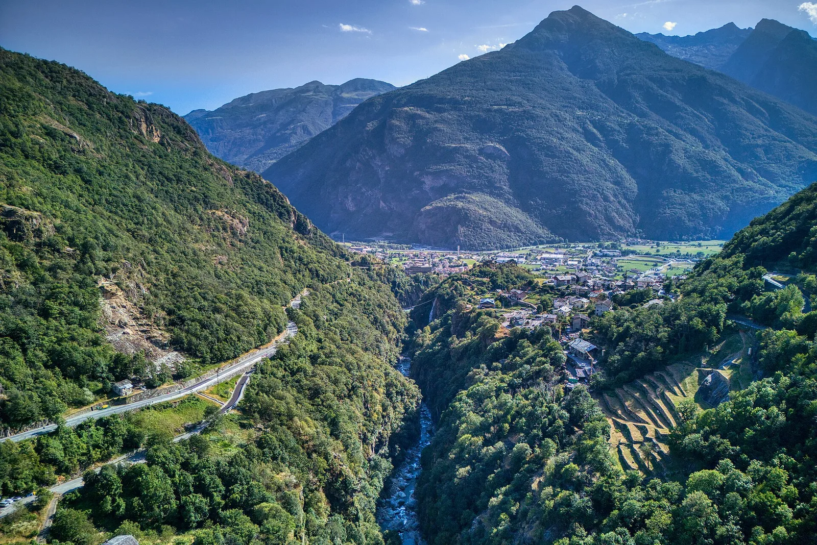
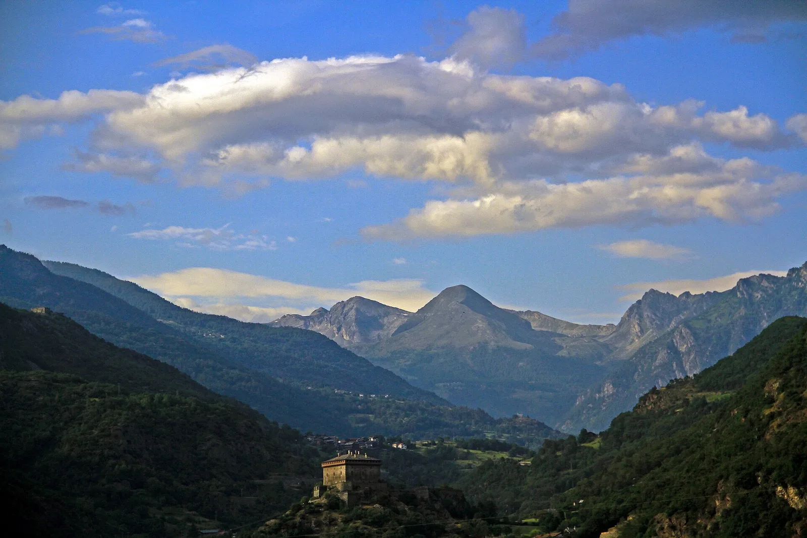
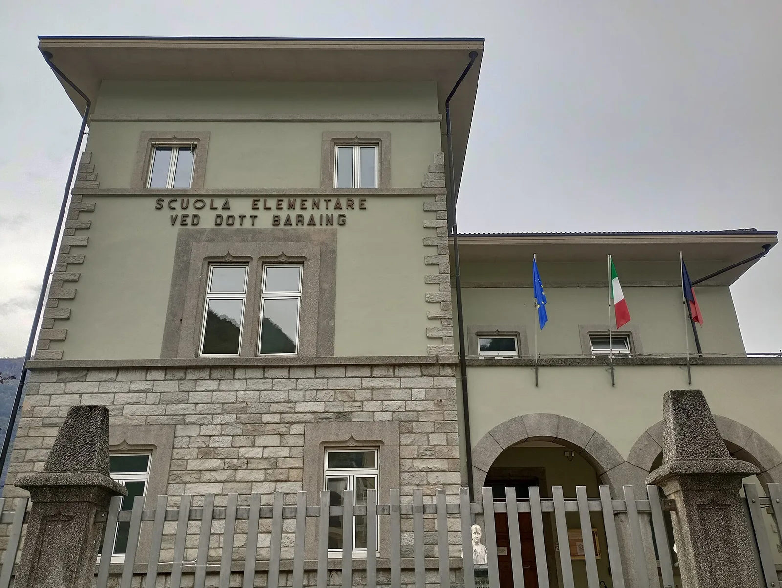
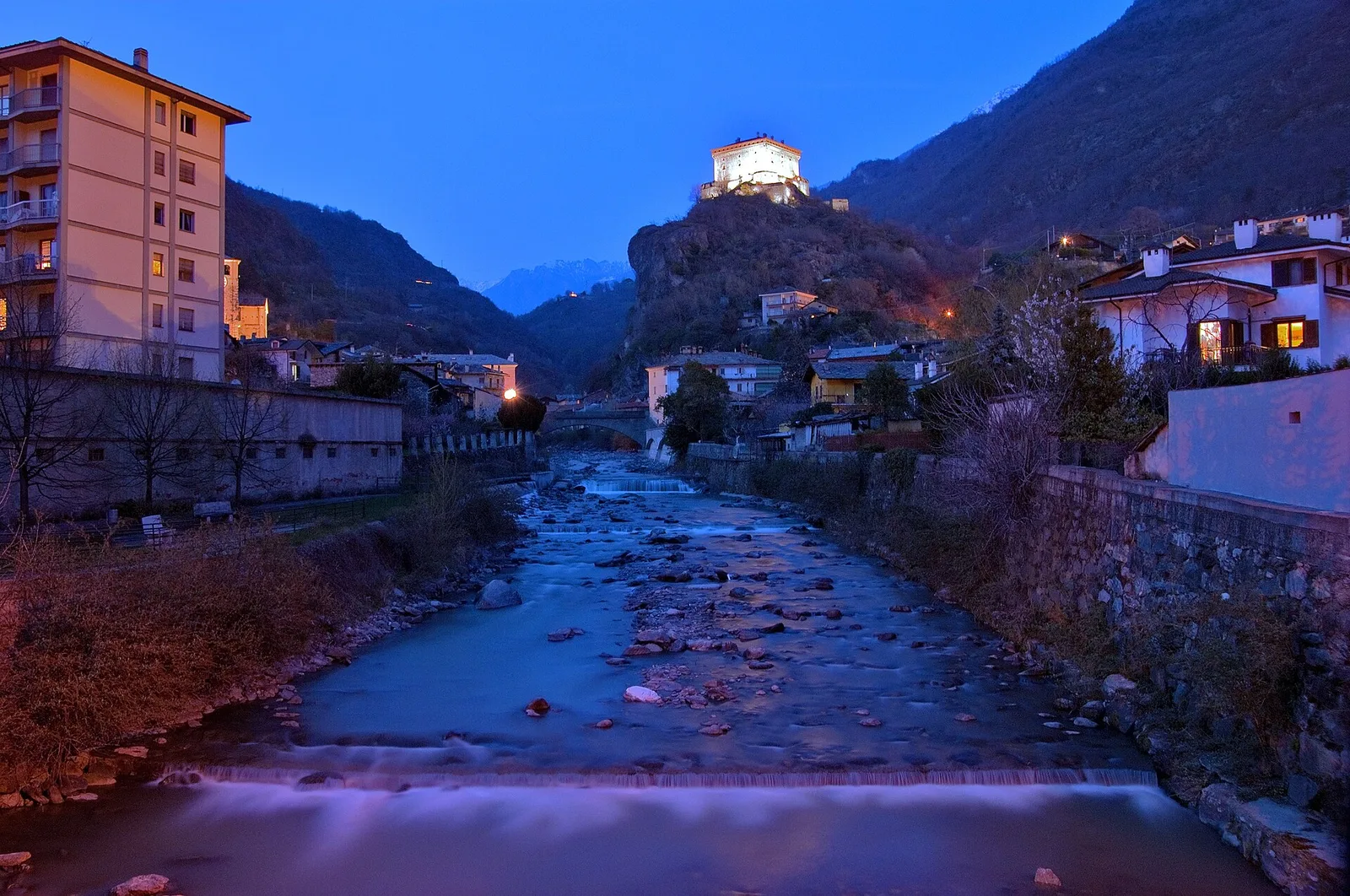
High Route 1 — Stage 1: Donnas → Perloz
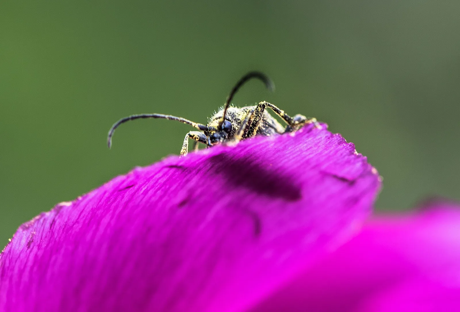
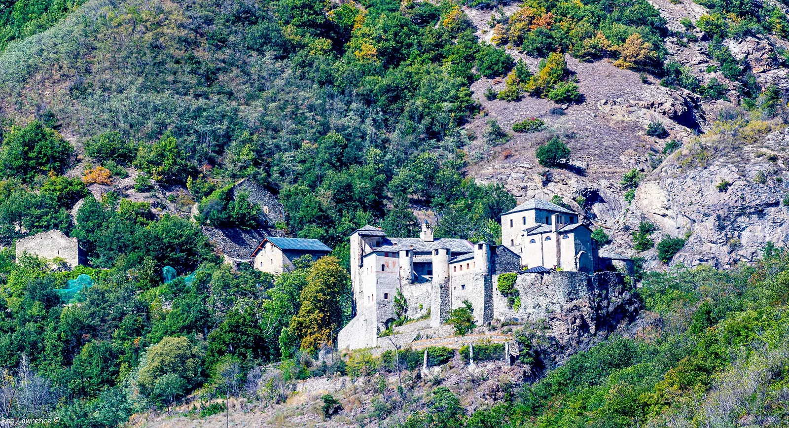
The start of the High Route of the Giants, from the valley floor up to Perloz meadows through Walser villages and chestnut groves.
12.5 km+950 m5 h
Trails and culture
98 trails linked to Torrette — traditions and flavours along the route: difficulty T–EE, elevation gain 0–3545 m.
98 · 0.5–32.2 km · +0–3545 m
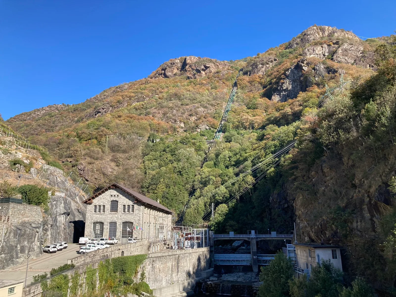
Bassa Valle
The start of the High Route of the Giants, from the valley floor up to Perloz meadows through Walser villages and chestnut groves.
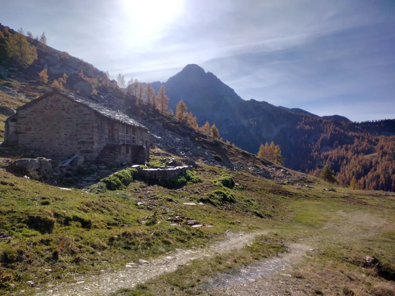
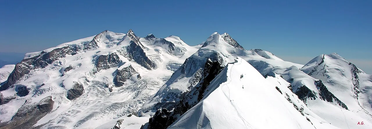
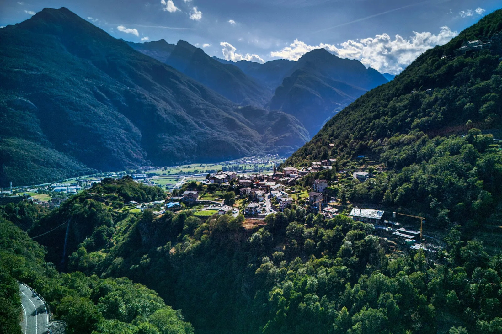
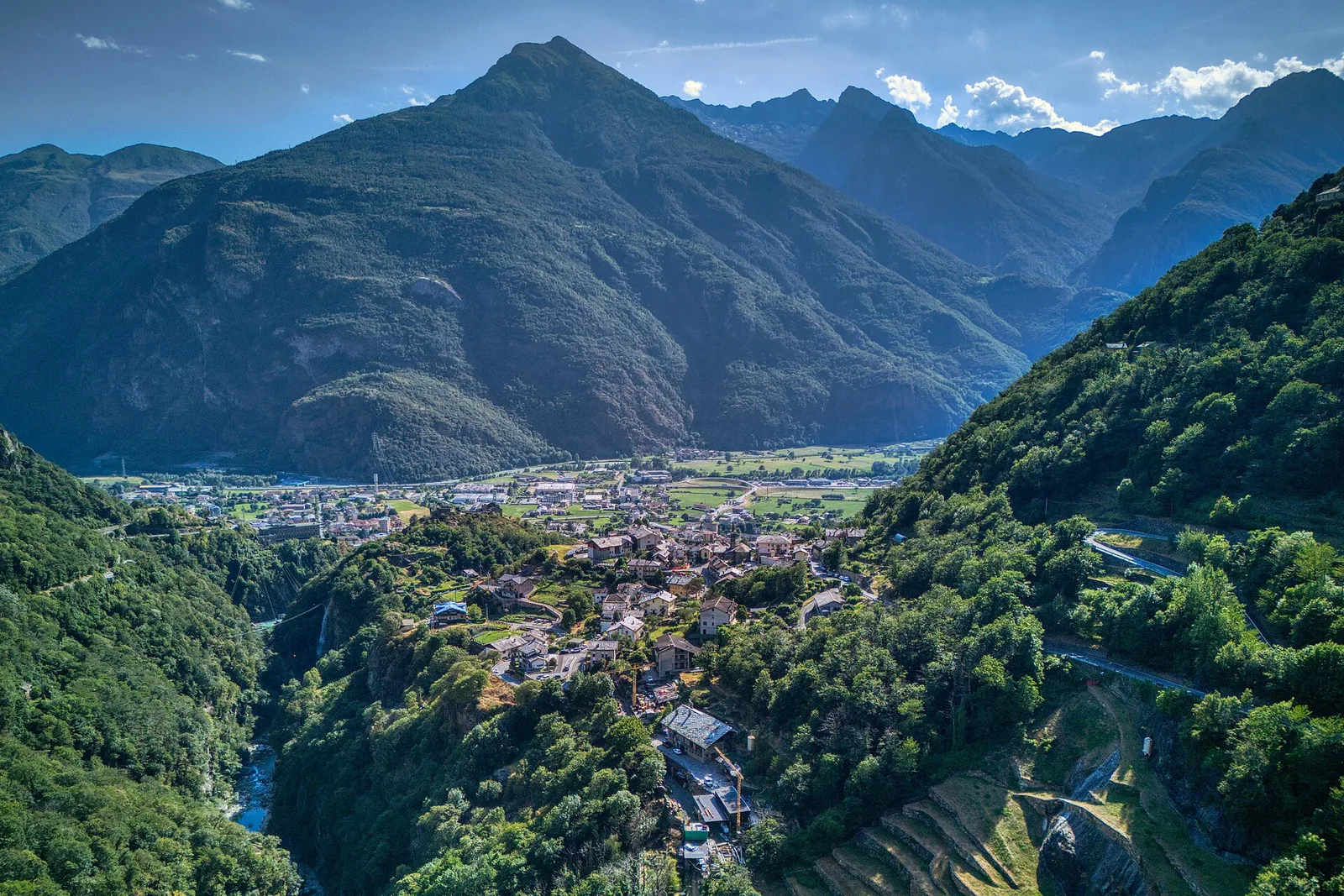
Bassa Valle — Mont Mars
From Perloz hill the trail climbs through Lillianes forest and into the Mont Mars Nature Reserve, where Rifugio Coda at 2280 m opens the view to the high valley.
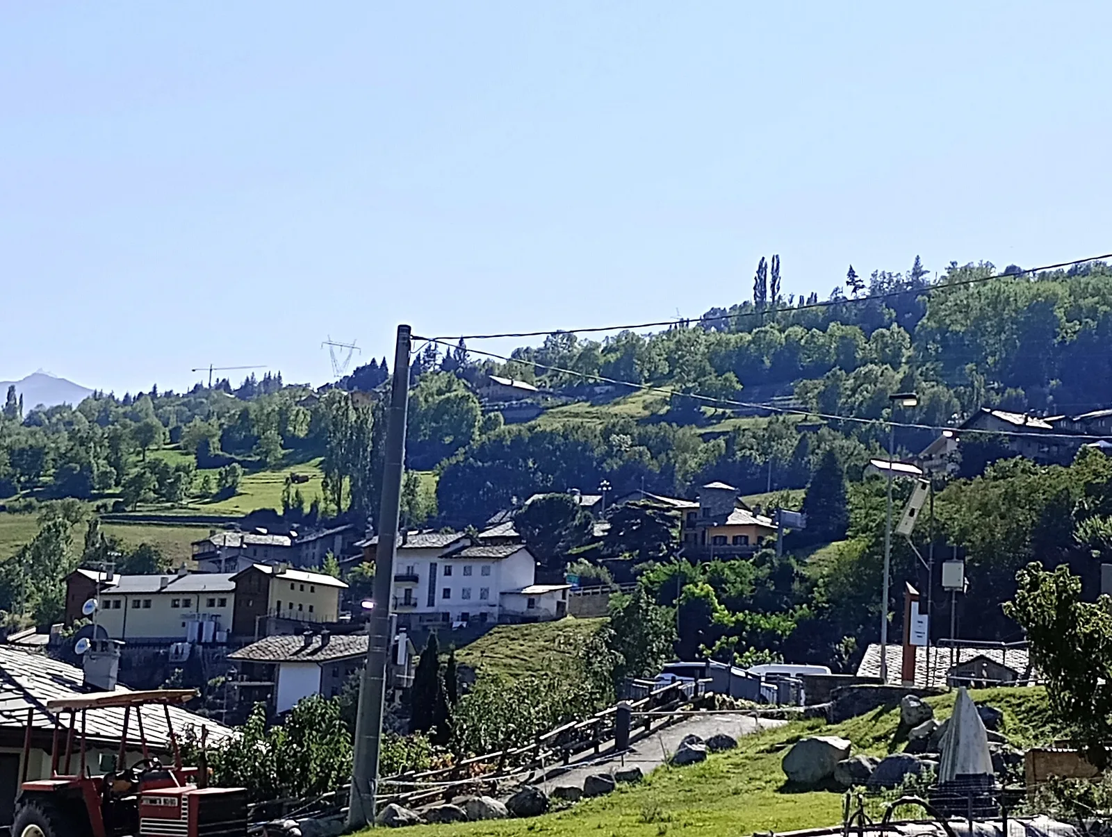
Bassa Valle
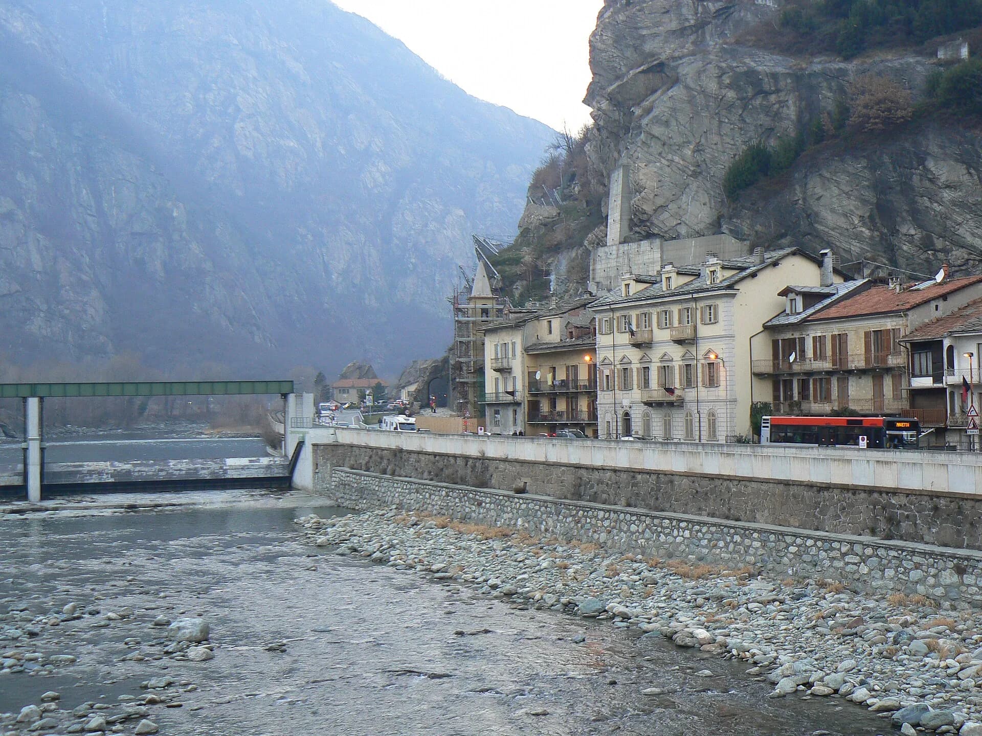
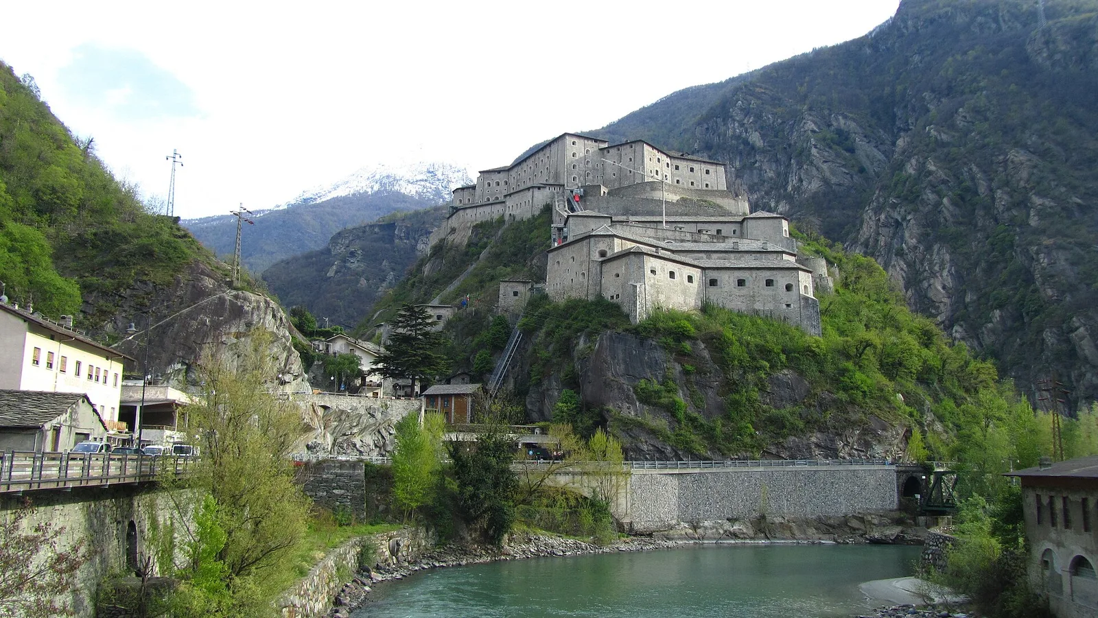
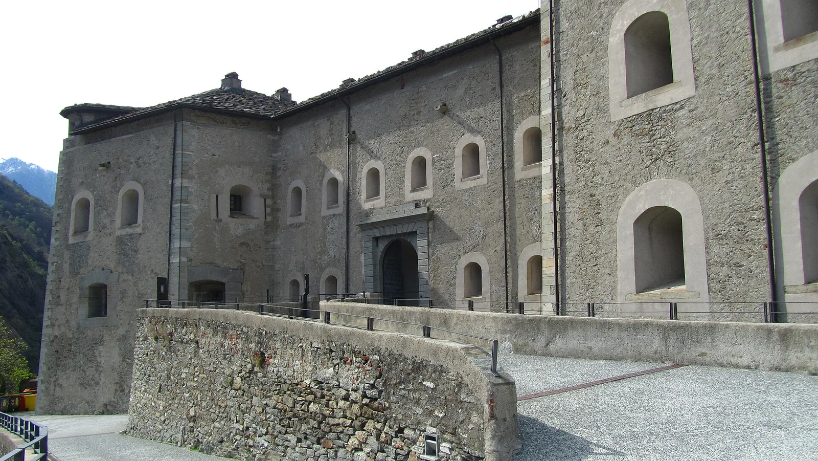
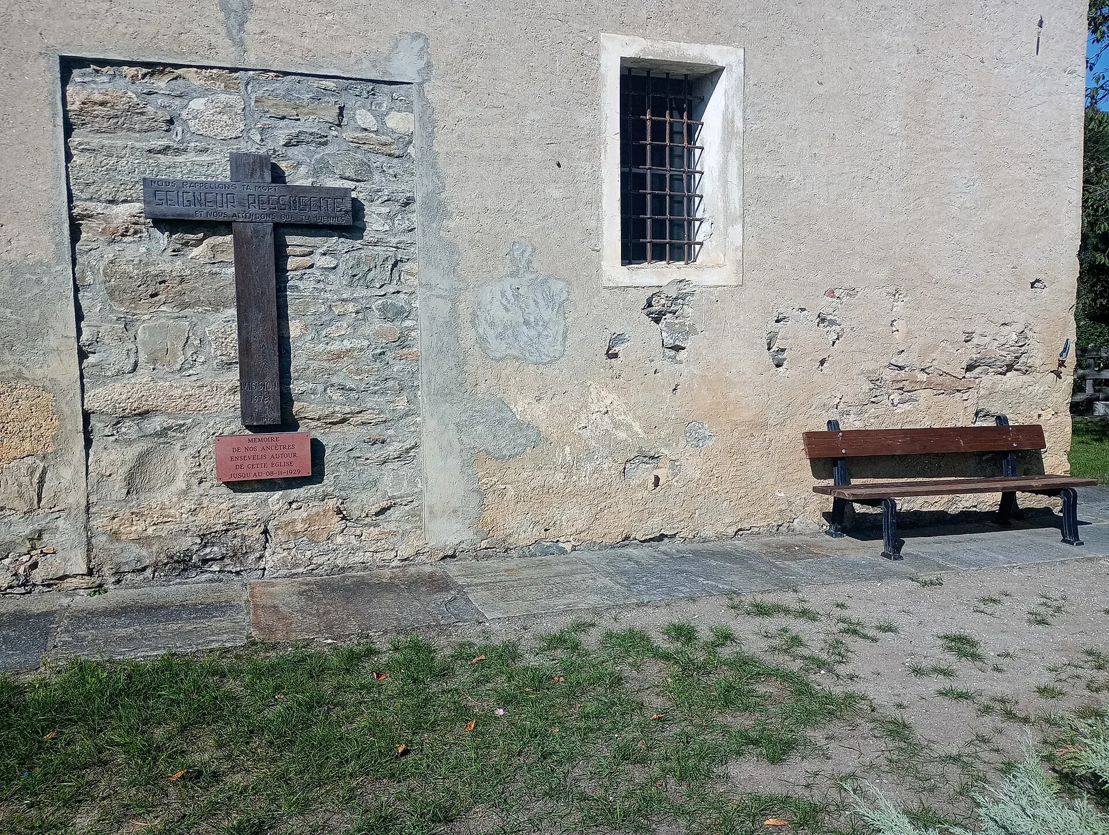
Final AV2 stage: from Retempio sanctuary to Donnas in the valley floor.

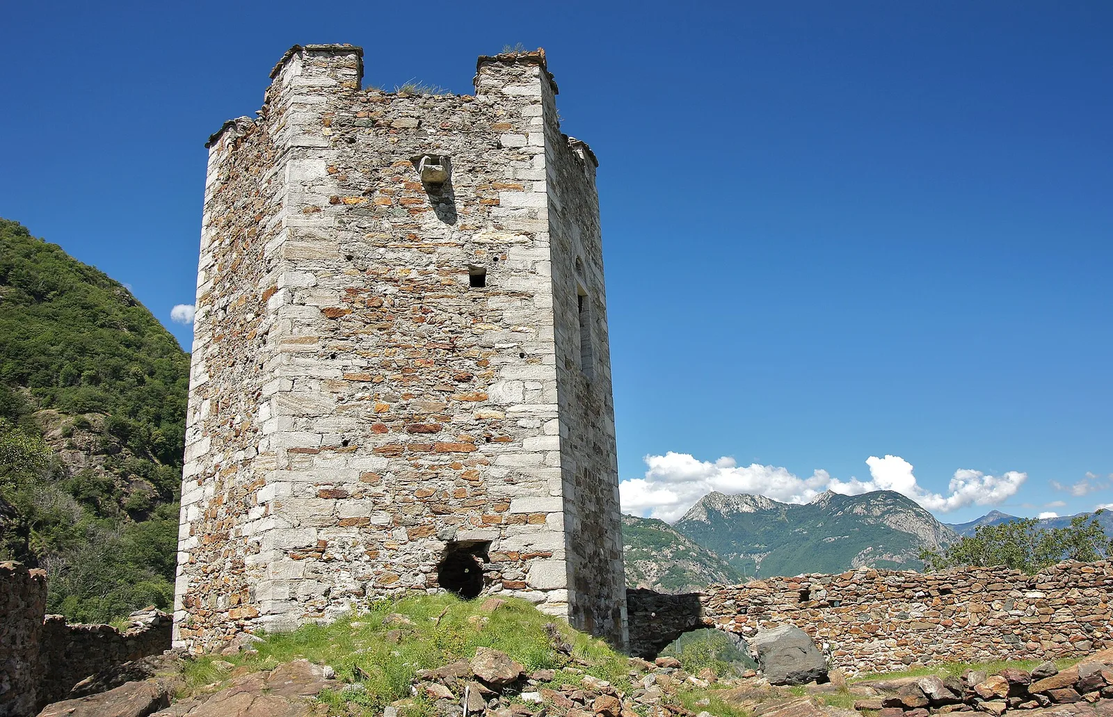
Bassa Valle
A short woodland climb from Arsines, above Arnad, to Col Fenêtre: a scenic pass of the lower Aosta Valley.

Bassa Valle
In the commune of Cogne, Gran Paradiso National Park: a climb toward a high-altitude objective in an environment of exceptional natural quality.

Bassa Valle
1.6 km · +397 m · E — from Barme to Carogne (Valtournenche).

Bassa Valle
1.2 km · +284 m · E — from Barme to Omens (Valtournenche).
Bassa Valle
3.9 km · +549 m · E — from Biel to Serra di Biel (Valsavarenche).
Bassa Valle
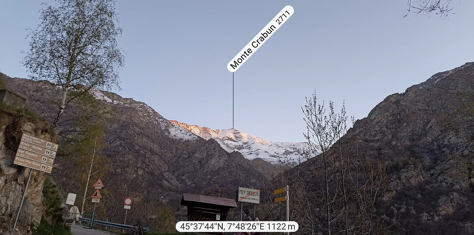
Exceptional ascent from Bonavessy (658 m) to Mont Crabun (2711 m): +2062 m in 8.7 km. Expert hikers only, early start required. EE.
Bassa Valle
1.5 km · +312 m · E — from Bourg to Peredrette (Valtournenche).
Bassa Valle
2.5 km · +427 m · E — from Bourg to Bourg (Valtournenche).
Bassa Valle
6.1 km · +965 m · E — from Bourg to Verale (Valtournenche).
Bassa Valle
2.4 km · +471 m · E — from Cappella Sant'Erasmo to Reserve Naturelle de Holay (Central Valley).
Valle di Champorcher
6.6 km · +1044 m · E — from Chardonney to Cimetta Rossa (Valtournenche).
Valle di Champorcher
6.8 km · +1044 m · E — from Chardonney to Cimetta Rossa (Valtournenche).
Bassa Valle
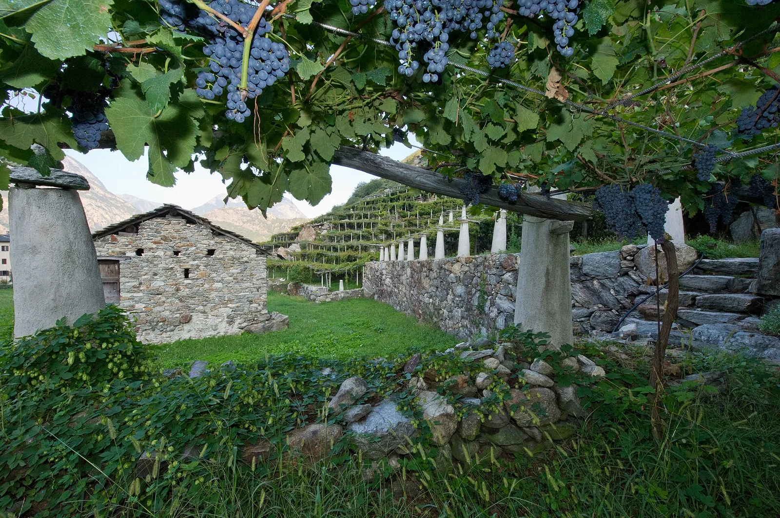
From the valley floor at Chateau Vallaise (454m) to Saint Anne's chapel (1342m): 4.3 km and 921 m of ascent through vineyards, chestnut groves and woodland on the Avise hillside.

Bassa Valle
32.2 km · +3545 m · EE — from Col de Bonze to Col Laris (Valtournenche).

Bassa Valle
3.3 km · +921 m · E — from Collaré to Mont de Beuby (Central Valley).
Bassa Valle
14.2 km · +1948 m · E — from Crest-Désot to Col de Bonze (Champorcher Valley).

Valle di Champorcher
6.6 km · +1584 m · E — from Crest-Dèsot to Col de la Fricolla (Champorcher Valley).
Bassa Valle
3.6 km · +909 m · E — from Croce della Missione to Gias Desot (Valtournenche).

Valle di Champorcher
4.8 km · +708 m · E — from Fournier to Mandaz (Champorcher Valley).
Valle di Champorcher
2.9 km · +832 m · EE — from Dublanc to Tete du Mont (Valtournenche).
Valle di Champorcher
2.9 km · +832 m · EE — from Dublanc to Tete du Mont (Champorcher Valley).
Bassa Valle
4.5 km · +938 m · E — from Fey to Croix Corma (Central Valley).
Bassa Valle
2.5 km · +373 m · E — from Fey to Piatolet (Central Valley).

Valle di Champorcher
2.3 km · +602 m · E — from Frassiney to Borney (Champorcher Valley).
Valle di Champorcher
1.8 km · +425 m · EE — from Grand Rosier to Tete du Mont (Valtournenche).
Bassa Valle
4.3 km · +659 m · E — from Chiesa di San Giorgio to Biel (Valsavarenche).

Valle di Champorcher
5.4 km · +633 m · E — from Piazza Municipio to Pontboset (Valsavarenche).
Bassa Valle
4.2 km · +1074 m · E — from La Clévaz to Plan Fiou (Valsavarenche).
Bassa Valle
4.8 km · +1134 m · E — from La Raffort - Centrale to Cormoney (Valsavarenche).
Bassa Valle
3.3 km · +642 m · E — from La Raffort to Pian (Valsavarenche).
Bassa Valle
1.3 km · +95 m · T — from Piazza del Municipio to Le tre Goye (Valsavarenche).
Bassa Valle
7.6 km · +1544 m · E — from Lo Pian to Arvueil (Central Valley).
Bassa Valle
6.2 km · +1327 m · E — from Lo Pian to Lac de Panaz (Central Valley).

Bassa Valle
3.9 km · +830 m · E — from Marine to Col Fênetre (Central Valley).

Bassa Valle
8.8 km · +1603 m · E — from Monteil to Lac Liet (Valtournenche).
Valle di Champorcher
9.5 km · +1766 m · E — from Monteil to Col Pousseuil (Valtournenche).
Valle di Champorcher
9.8 km · +1837 m · EE — from Monteil to Le Give (Valtournenche).
Bassa Valle
3.9 km · +1035 m · E — from Monteil to Montat (Valtournenche).
Valle di Champorcher
3.6 km · +478 m · E — from Outre l'Eve to Borney (Valtournenche).
Bassa Valle
5.8 km · +1334 m · EE — from Outrefer to Mognissola (Valtournenche).
Bassa Valle
3.1 km · +639 m · E — from Outrefer to Pourcil (Valtournenche).
Bassa Valle
1.3 km · +111 m · E — from Rovarey to Croce della Missione (Valtournenche).
Bassa Valle
4.7 km · +579 m · T — from Piazza E.Chanoux to Carogne (Valtournenche).
Bassa Valle
3.8 km · +581 m · E — from Plan de Brun to Fey (Central Valley).
Bassa Valle
2.4 km · +790 m · E — from Saint-Roch to Col de Plan Fenetre (Central Valley).
Valle centrale
A long climb from the Aosta valley floor, via Chacotteyes and Tsa de Metz, to Pointe Chaligne: 1,940 metres of ascent and a 360° view over the Aosta basin.

Valle di Champorcher
4 km · +727 m · E — from Pontboset to Santuario di Retempio (Champorcher Valley).
Bassa Valle
2.2 km · +436 m · E — from Capoluogo to Reserve Naturelle de Holay (Central Valley).
Valle centrale
A long, severe climb on Aosta's adret: nearly 2000 m of ascent from the Porossan vineyards to the panoramic Col di Viou (2713 m).
Bassa Valle
5 km · +873 m · E — from Pramotton to Innesto Baraton (Valtournenche).
Bassa Valle
9 km · +1546 m · E — from Pramotton to Alpe Bonze (Valtournenche).
Bassa Valle
5.5 km · +1218 m · E — from Pramotton to Fontanet (Valtournenche).
Bassa Valle
1.3 km · +234 m · E — from Pramotton to Tour Pramotton (Valtournenche).
Valle centrale
In the lower Val d'Ayas, Challand-Saint-Victor: an E-rated climb through vineyards, forest and terraced land toward historic hamlets.
Valle di Champorcher
2.9 km · +376 m · EE — from Remoran to Col d'Arcomy (Valtournenche).
Bassa Valle
2.6 km · +828 m · E — from Rovarey to Jas Dèsot (Valtournenche).
Bassa Valle
6.2 km · +567 m · E — from Rovarey to Santuario Notre Dame de la Garde (Valtournenche).
Bassa Valle
4.8 km · +1070 m · E — from Saint-Roch to La Borney (Central Valley).
Bassa Valle
3.8 km · +1070 m · E — from Saint-Roch to La Borney (Central Valley).
Bassa Valle
2.9 km · +391 m · E — from Poline desot to Ronchas (Central Valley).

Valle di Champorcher
4 km · +700 m · E — from Varesa to Santuario di Retempio (Champorcher Valley).
Valle centrale
A short, steep climb from Strada Cappuccini (601 m) to Excenex (1,036 m) in Val d'Ayas: 3.2 km and 452 m of ascent.
Bassa Valle
2.4 km · +355 m · E — from Strada to Omens (Valtournenche).
Bassa Valle
12.9 km · +1737 m · E — from Bourg to Sassa (Valtournenche).
Bassa Valle
8.7 km · +938 m · E — from Pont-Saint-Martin to Lillianes (Central Valley).
Bassa Valle
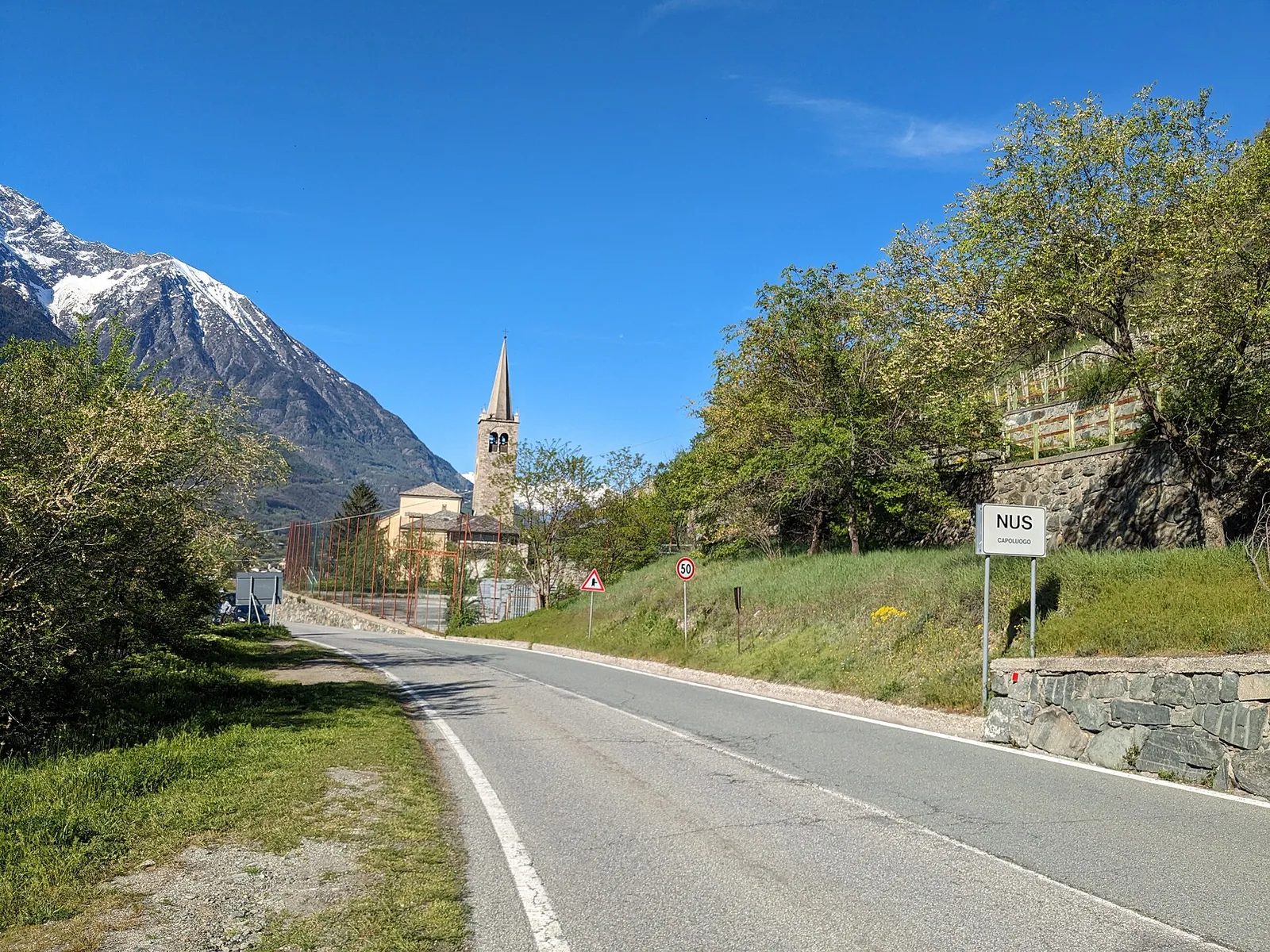
15.7 km · +0 m · E — from Fontainemore to Donnas (Lys Valley).

Bassa Valle
12.8 km · +1126 m · E — from Donnas to Arnad (Valtournenche).
Bassa Valle
12.6 km · +1160 m · E — from Arnad to Challand-Saint-Victor (Central Valley).

Valle centrale
6.1 km · +420 m · E — from Institut Agricole to Cappella della Consolata (Ayas Valley).
Valle centrale
11.1 km · +547 m · E — from Roisan to Arpuilles (Valtournenche).
Valle centrale
13.9 km · +1205 m · E — from Arpuilles to Vetan (Ayas Valley).
Valle di Champorcher
15 km · +0 m · E — from Capoluogo to Crest (Valtournenche).

Valle di Champorcher
15.6 km · +0 m · E — from Crest to Capoluogo (Champorcher Valley).
Valle centrale
12.9 km · +0 m · E — from Aymavilles to Aosta (Cogne Valley).
Valle centrale
19.8 km · +0 m · E — from Aosta to Fénis (Ayas Valley).
Valle del Gran San Bernardo
13.8 km · +0 m · E — from Echevennoz to Aosta centro (Central Valley).
Bassa Valle
21.1 km · +0 m · E — from Châtillon to Verrès (Valdigne).
Valle di Champorcher
16.8 km · +808 m · E — from Verrès to Pontboset (Valtournenche).
Bassa Valle
13.2 km · +0 m · E — from Pontboset to Pont-Saint-Martin (Champorcher Valley).
Valle centrale
28.1 km · +0 m · E — from Aosta to Châtillon (Ayas Valley).
Bassa Valle
19.3 km · +0 m · E — from Châtillon to Verrès (Valdigne).
Bassa Valle
14.9 km · +0 m · E — from Verrès to Pont-Saint-Martin (Valtournenche).

Bassa Valle
1.3 km · +0 m · E — from Arnad to Donnas (Central Valley).
Bassa Valle
6.3 km · +0 m · E — from Donnas to Pont-Saint-Martin (Valtournenche).

Valle di Champorcher
0.5 km · +167 m · E — from Terrisse to Attacco Mont Charvatton (Champorcher Valley).
Bassa Valle
0.8 km · +0 m · E — from Tour d'Hereraz to Perloz (Central Valley).

Valle di Champorcher
5.7 km · +1300 m · E — from Fournier to Mont Digny (Champorcher Valley).
Valle di Champorcher
7.5 km · +1421 m · E — from Varesa to Lago di Leseney (Champorcher Valley).
Valle di Champorcher
6.2 km · +1184 m · E — from Varesa to Buriana (Champorcher Valley).

Valle di Champorcher
5.2 km · +1722 m · E — from Varesa to Chavanna (Champorcher Valley).

Valle di Champorcher
7.4 km · +1789 m · E — from Varesa to Col de la Fricolla (Champorcher Valley).
Bassa Valle
1.4 km · +312 m · T — from Piazza R.Challand to Croix de Saint-Gilles (Valtournenche).
Valle centrale
In the lower Val d'Ayas, Challand-Saint-Victor: a moderate climb through vineyards, meadows and forest toward upper hamlets.
Valle centrale
2.1 km · +177 m · E — from Via Scuola Militare Alpina to Châtelet (Ayas Valley).
Bassa Valle
3.7 km · +616 m · E — from Vesey damon to Lac de Panaz (Central Valley).