
E
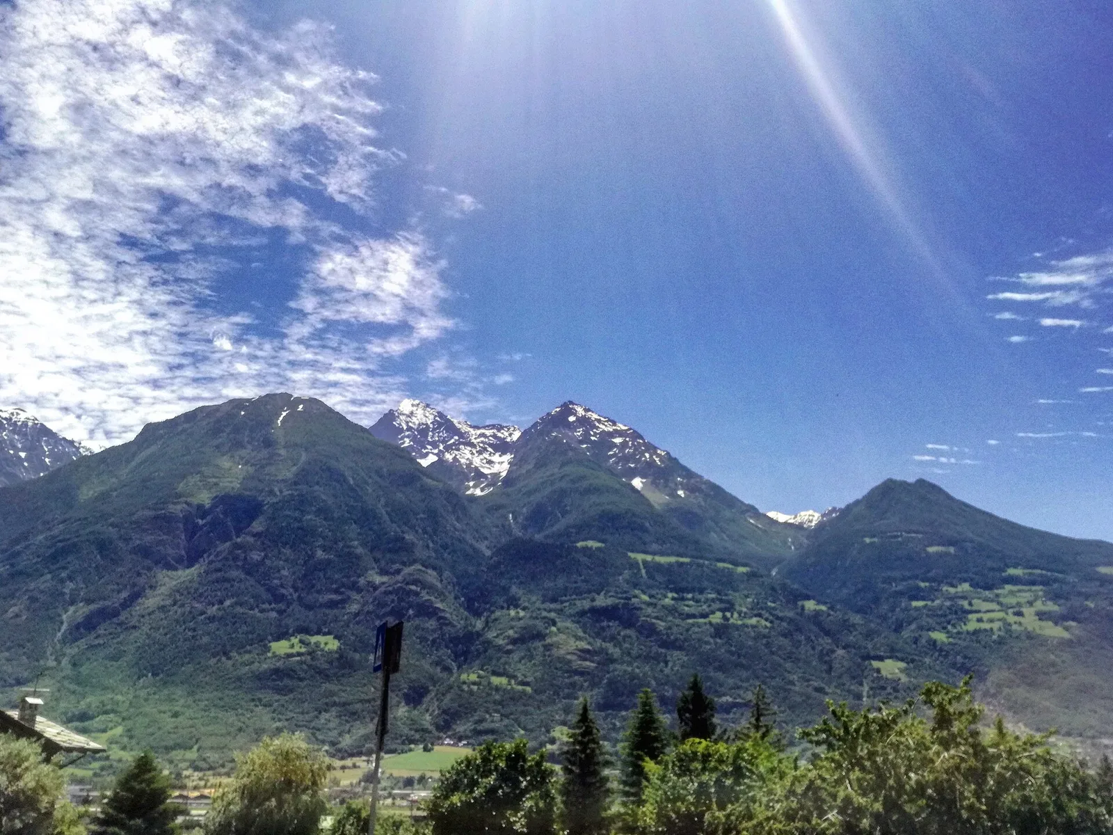
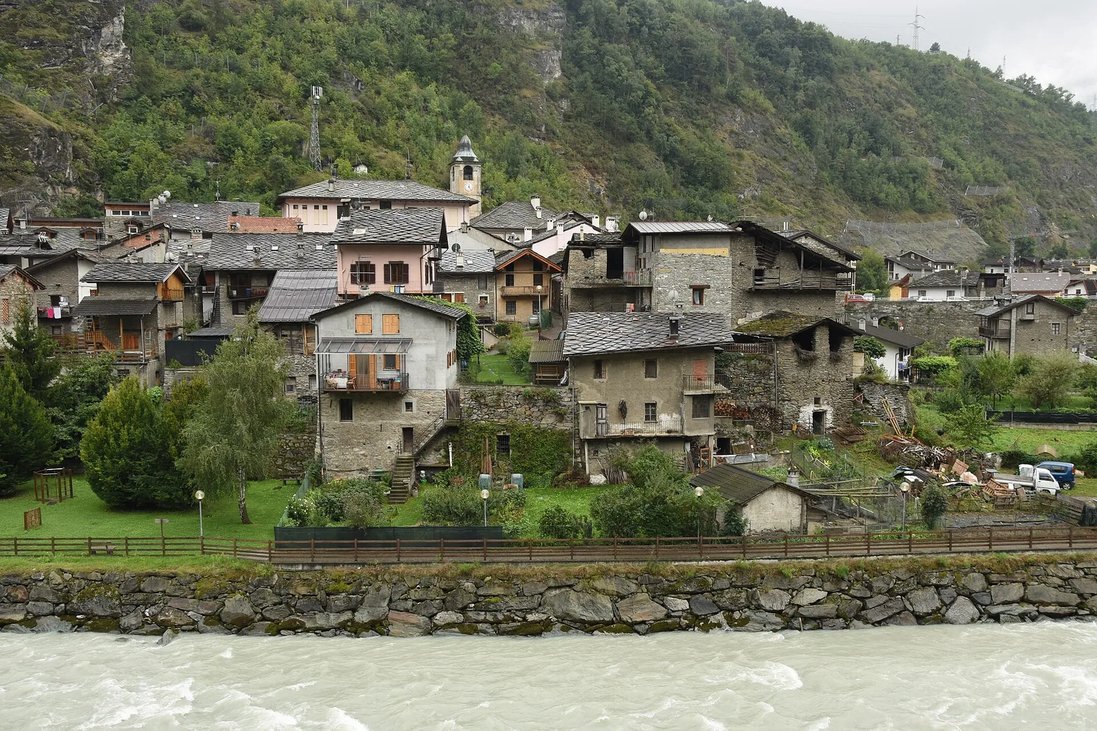
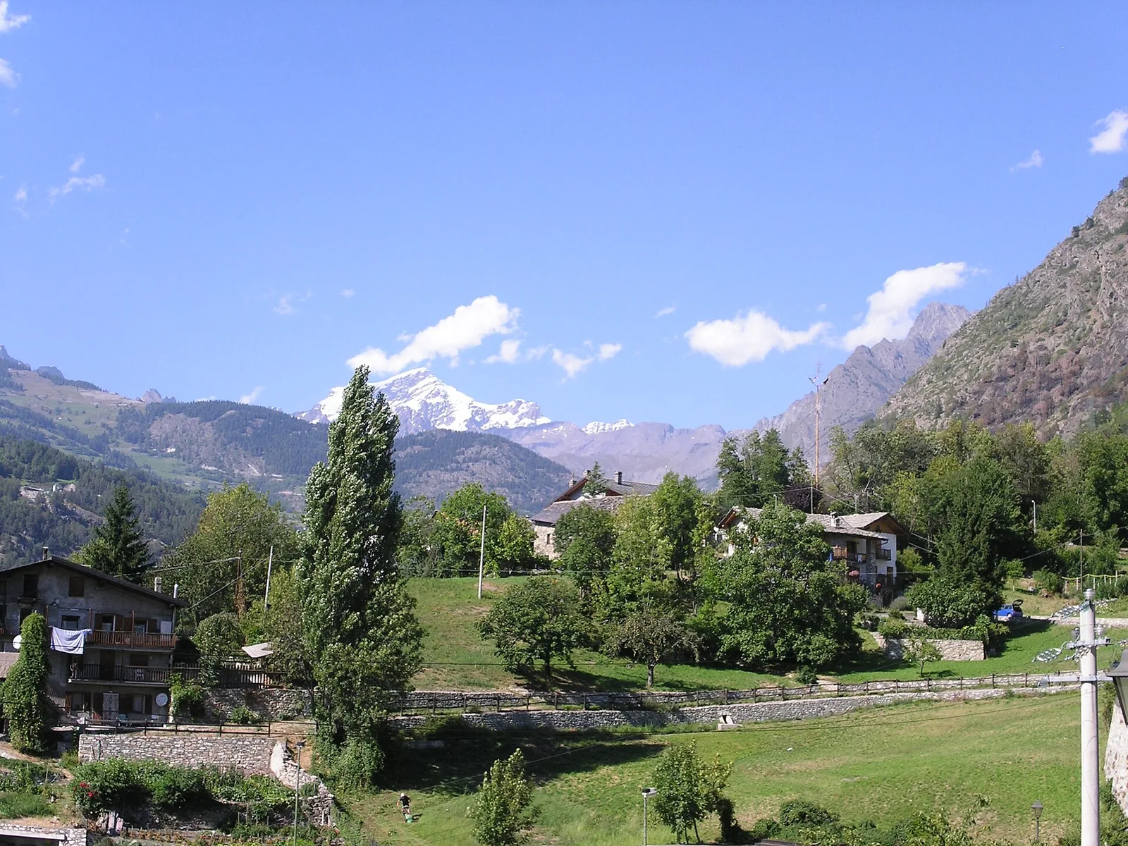
Val d'Ayas
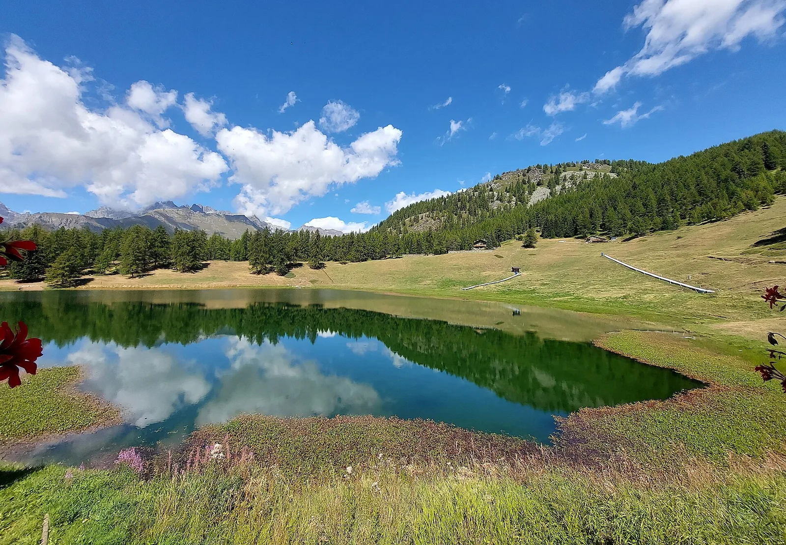
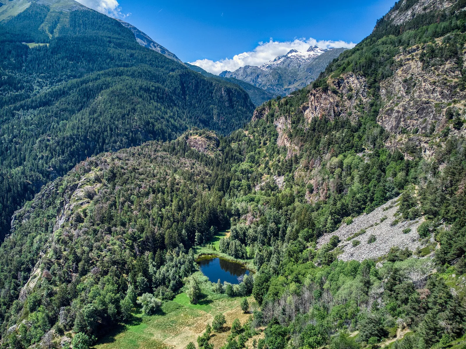
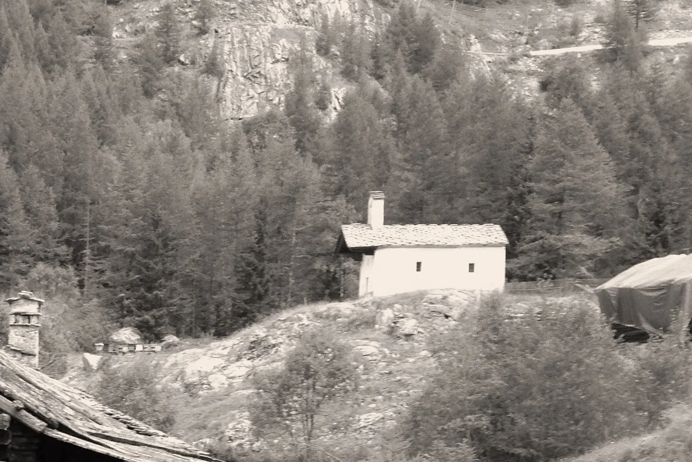
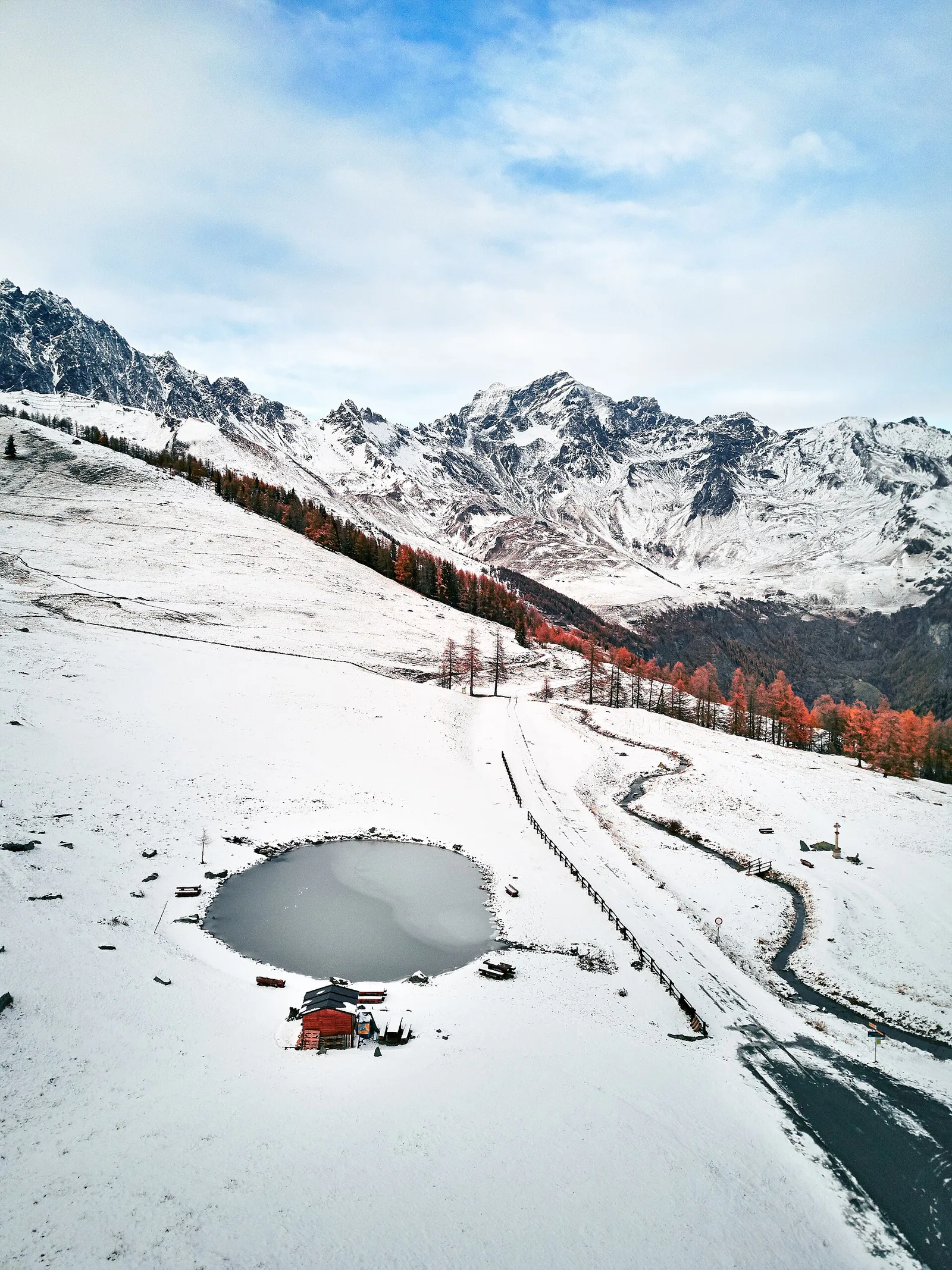
Amponey - Alpe Mascognaz
1.8 km · +309 m · E — from Amponey to Alpe Mascognaz (Central Valley).
1.8 km+309 m1 h
Where to spot
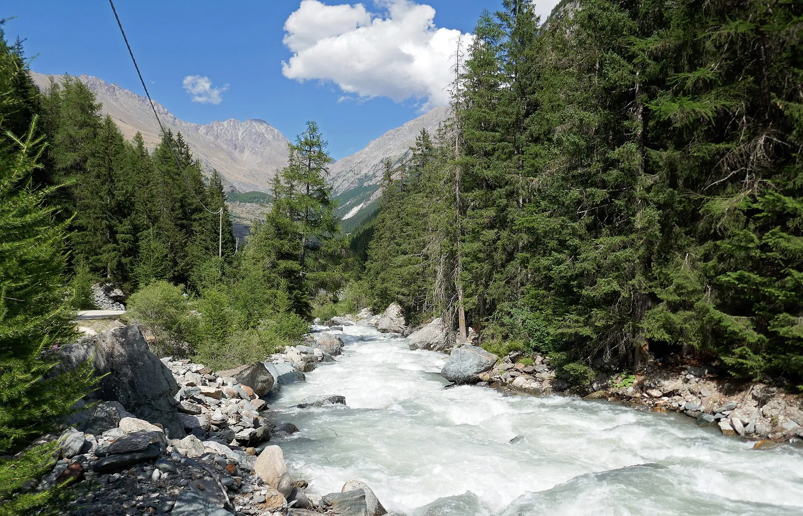
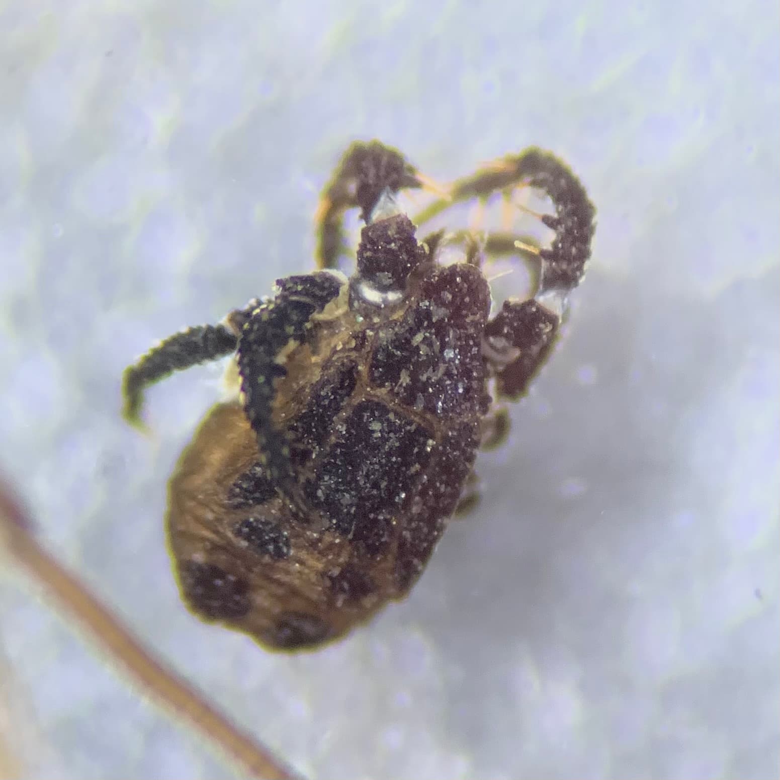
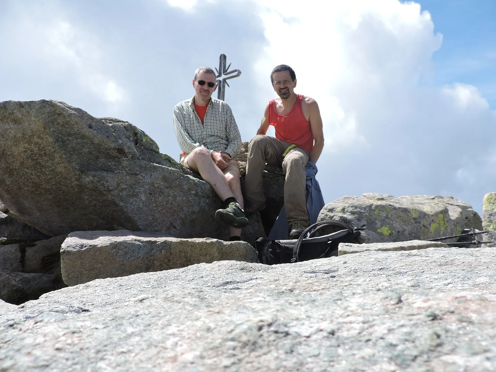
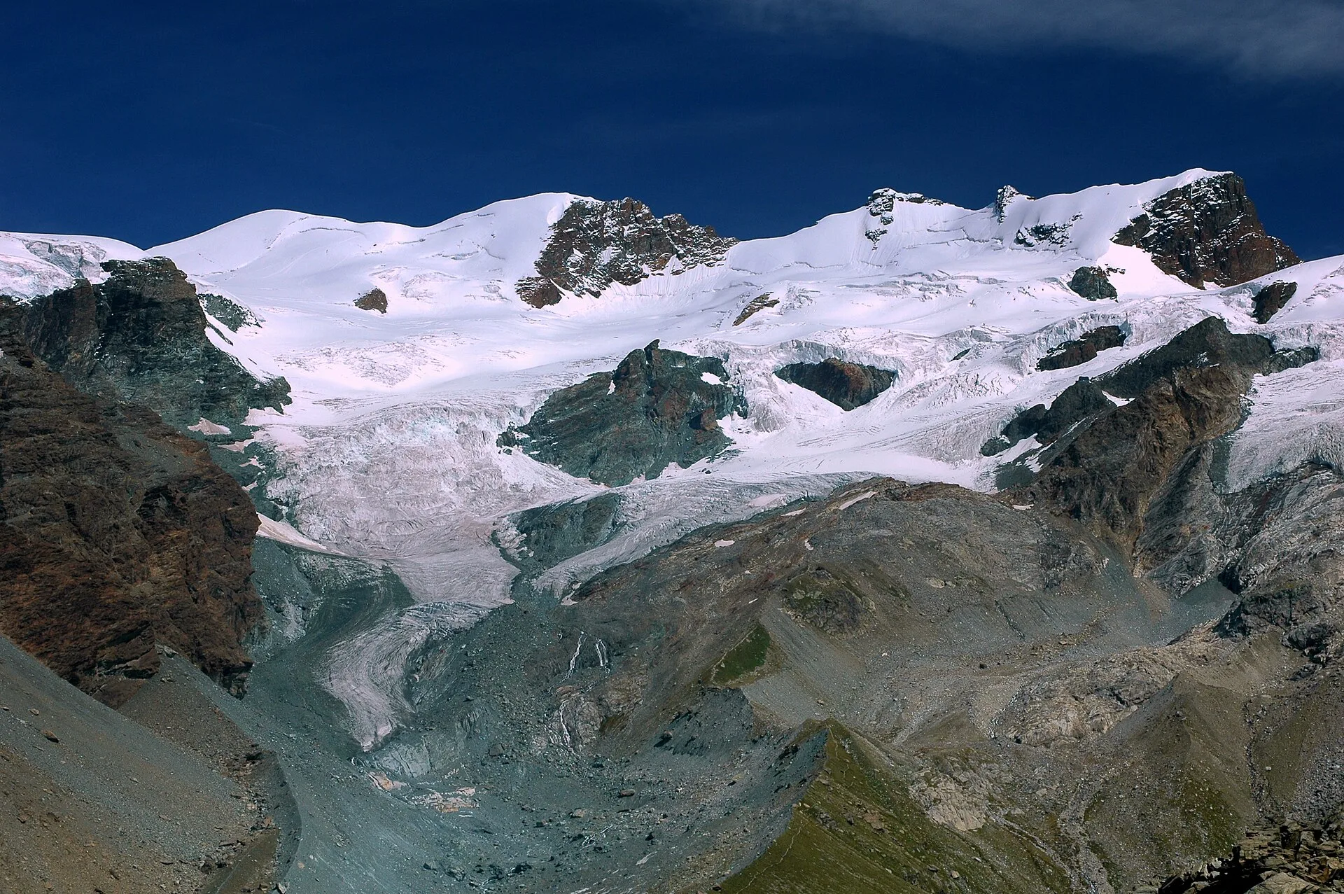
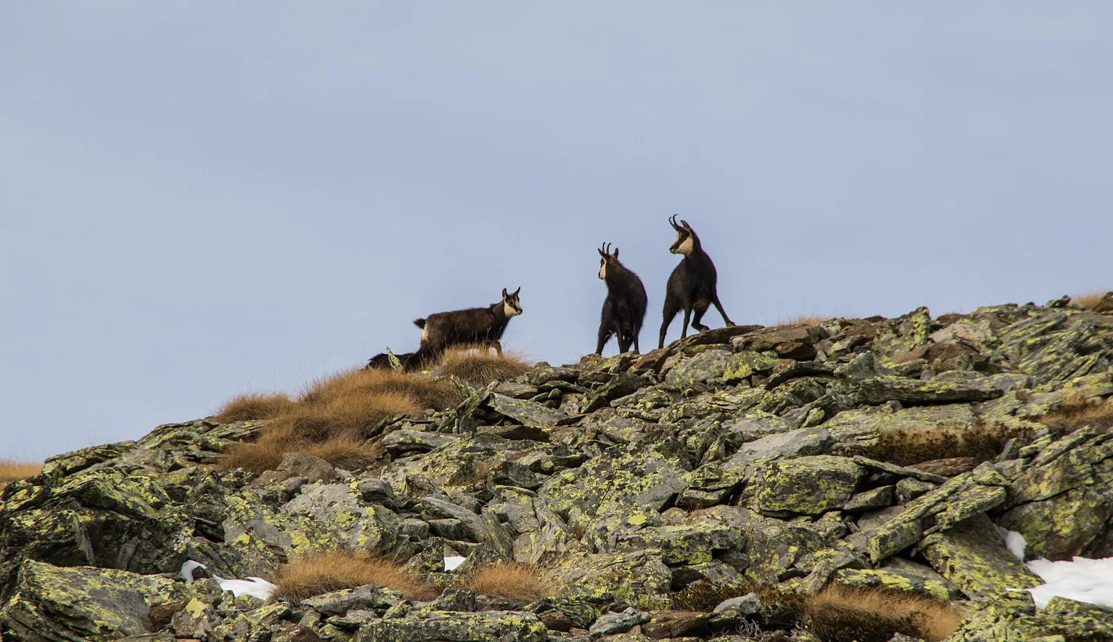
50 trails where Green alder is listed in flora/fauna: difficulty T–EE, elevation gain 0–1766 m.
50 · 0.8–11.7 km · +0–1766 m
Val d'Ayas
1.8 km · +309 m · E — from Amponey to Alpe Mascognaz (Central Valley).
Valle centrale
5.5 km · +786 m · E — from Bellecombe to Alpe Valmeriana (Valdigne).
Valtournenche
3.3 km · +507 m · EE — from Berzin to Cappella di Saint-Evence (Valpelline).
Val di Rhêmes
2.2 km · +508 m · E — from Chanavey to Chaussettaz (Great St Bernard Valley).
Valle di Champorcher
6.1 km · +770 m · E — from Chardonney to Rifugio Dondena (Valtournenche).
Valle centrale
7 km · +1299 m · E — from Chenaux to Arpisson (Lys Valley).
Val di Cogne
2.8 km · +170 m · T — from Capoluogo to Valnontey (Lys Valley).
Valle centrale
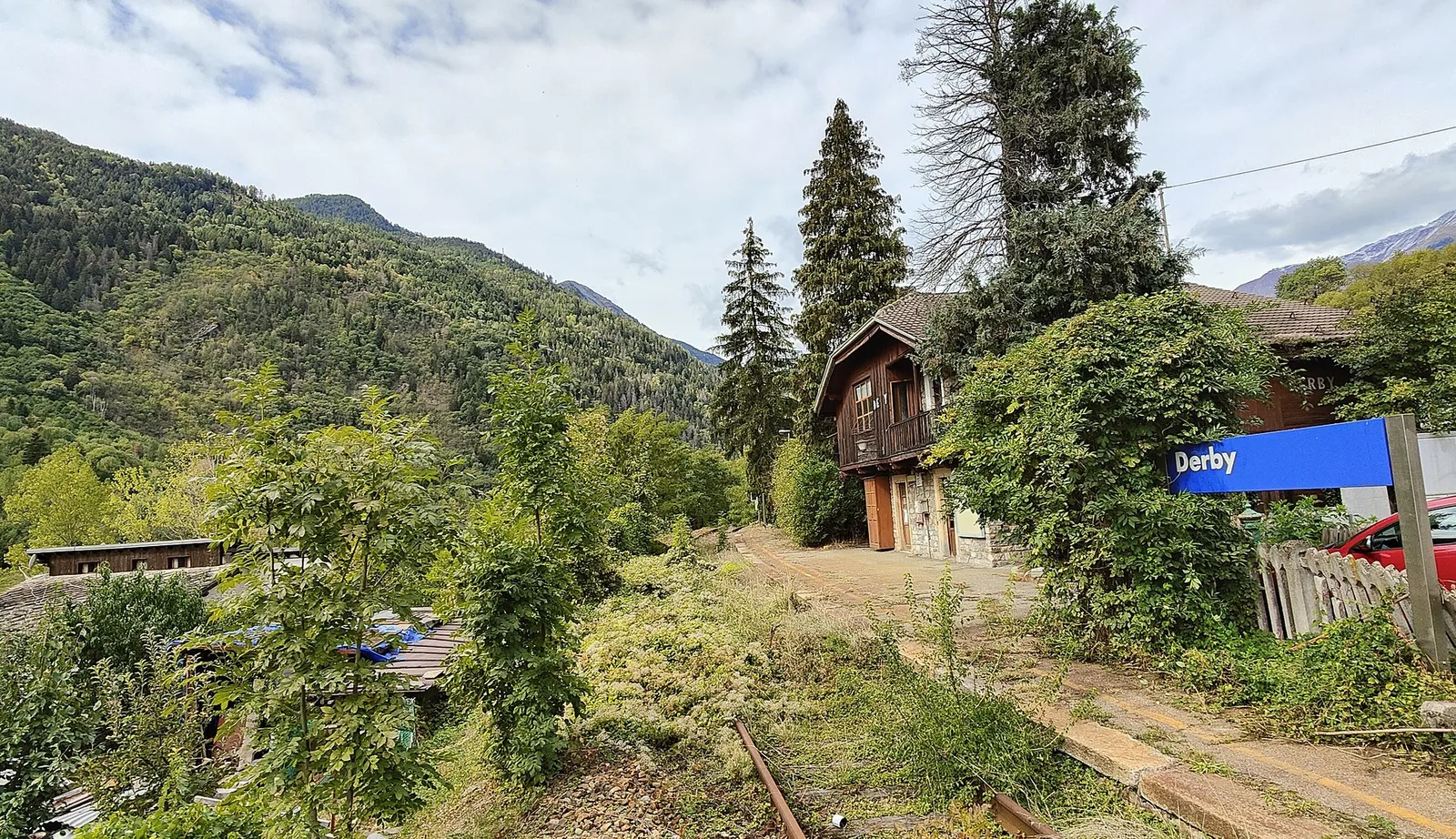
5.2 km · +715 m · E — from Derby, Chiesa to Lazey (La Thuile).

Valle del Gran San Bernardo
From Ville di Allein, an honest climb through pastures and larch woods to the Dortoir Baravex refuge at 1938 m, in the Great St Bernard valley.
Valle centrale
3.1 km · +239 m · E — from Druges to Miniera Servette (Great St Bernard Valley).
Valle di Champorcher
1.4 km · +297 m · EE — from Echelly to Grand-Rosier (Valtournenche).
Val d'Ayas
5.9 km · +1028 m · E — from X 1 e 2 to Col de Joux (Valtournenche).
Valle centrale
3.5 km · +774 m · E — from Etavel to Combelin (Central Valley).
Valle del Gran San Bernardo
2 km · +288 m · E — from Etroubles to Prailles (Central Valley).
Valle del Lys
8.8 km · +1510 m · E — from Capoluogo to Colle della Barma d'Oropa (Lys Valley).
Valle centrale
2.5 km · +364 m · E — from Fossaz, strada carrozzabile per Vens to Vens (Central Valley).
Valle del Lys
2.7 km · +496 m · E — from Gaby to Bounitzon (Great St Bernard Valley).
Val d'Ayas
2 km · +441 m · T — from Pasquier to La Croix (Ayas Valley).
Valtournenche
4.9 km · +517 m · E — from Confine comunale La Magdeleine - Chamois to Col Cheneil (Central Valley).
Valtournenche
In the commune of Torgnon, Valtournenche: a panoramic route through forest, pastures and hamlets of the Aosta Valley mid-mountain.
Valle centrale
7.4 km · +1321 m · E — from Hermitage to Verrand (Great St Bernard Valley).
Val Ferret
3 km · +536 m · E — from La Remisa to Gioè damon (Great St Bernard Valley).
Valle centrale
In the Valgrisenche, Arvier: a significant E-rated climb through forest toward upper pastures.
Valle centrale
7.7 km · +287 m · E — from Lignan to Champlaisant (Valpelline).
Val d'Ayas
1.6 km · +294 m · E — from Lignod to Incrocio Ru (Central Valley).
Val d'Ayas
In the Val d'Ayas, commune of Ayas: a steady E-rated climb toward a high-altitude objective on well-marked terrain.
Valle del Gran San Bernardo
8.2 km · +580 m · E — from Mendey to La Lanche (Central Valley).
Valle di Champorcher
9.5 km · +1766 m · E — from Monteil to Col Pousseuil (Valtournenche).
Valle centrale
7.9 km · +832 m · E — from Morgex, sentiero 8, quota 950 to Petosan (Central Valley).
Valle del Lys
4.8 km · +786 m · E — from Onderwoald to Col Ranzola (Champorcher Valley).
Valpelline
In the Valpelline, commune of Bionaz: an E-rated climb from forest to the Comba di Vertsan pastures.
Valle centrale
3.9 km · +896 m · E — from Pingaz to Torlin dessus (Valtournenche).
Val Veny
1.2 km · +156 m · E — from Plan de Lognan to Jardin du Miage (Lac Vert) (Great St Bernard Valley).
Valle di Champorcher
2.1 km · +331 m · EE — from Remoran to Col Terre Rousse (Valtournenche).
Valle del Gran San Bernardo
3.2 km · +823 m · E — from Roisan to Riond (Valtournenche).
Valle centrale
In the commune of La Salle, Valdigne: an E-rated climb with significant elevation gain toward upper slope zones.
Valle del Gran San Bernardo
0.8 km · +34 m · T — from Saint-Oyen to Pallais dessous (Great St Bernard Valley).
Valle del Lys
4.2 km · +802 m · EE — from Sainte-Marguerite to Col Giassit (Central Valley).
Val d'Ayas
2 km · +370 m · E — from Strada Regionale to Arbaz (Ayas Valley).
Valle centrale
5.2 km · +1065 m · E — from S. R. Valsavarenche to Mont Blanc (Lys Valley).
Valle centrale
11.7 km · +1707 m · E — from Stradina Chateau de Quart to Croce di Fana (Rhêmes Valley).
Valle centrale
6.4 km · +1110 m · E — from Tillier to Druges (Lys Valley).
Valpelline
3.8 km · +78 m · E — from Rey to Chatellair-Dessus (Valpelline).
Valtournenche
4.6 km · +581 m · E — from Triatel to Santuario di Gilliarey (Valpelline).
Valpelline
4.8 km · +1099 m · E — from Capoluogo to Alpeggio Verdignolettaz (Valtournenche).
Valle di Champorcher
5.2 km · +1722 m · E — from Varesa to Chavanna (Champorcher Valley).
Valle di Champorcher
7 km · +910 m · E — from Veulla to Rifugio Barbustel (Central Valley).
Valle centrale
A steep climb from Vieyes to Col de Becca Plana, at 2,266 metres: from the valley floor to the high pastures in just under five kilometres.

Bassa Valle
3.7 km · +616 m · E — from Vesey damon to Lac de Panaz (Central Valley).
Valle del Lys
1.8 km · +241 m · E — from Weissmatten to Colle di Garda (Champorcher Valley).