
E
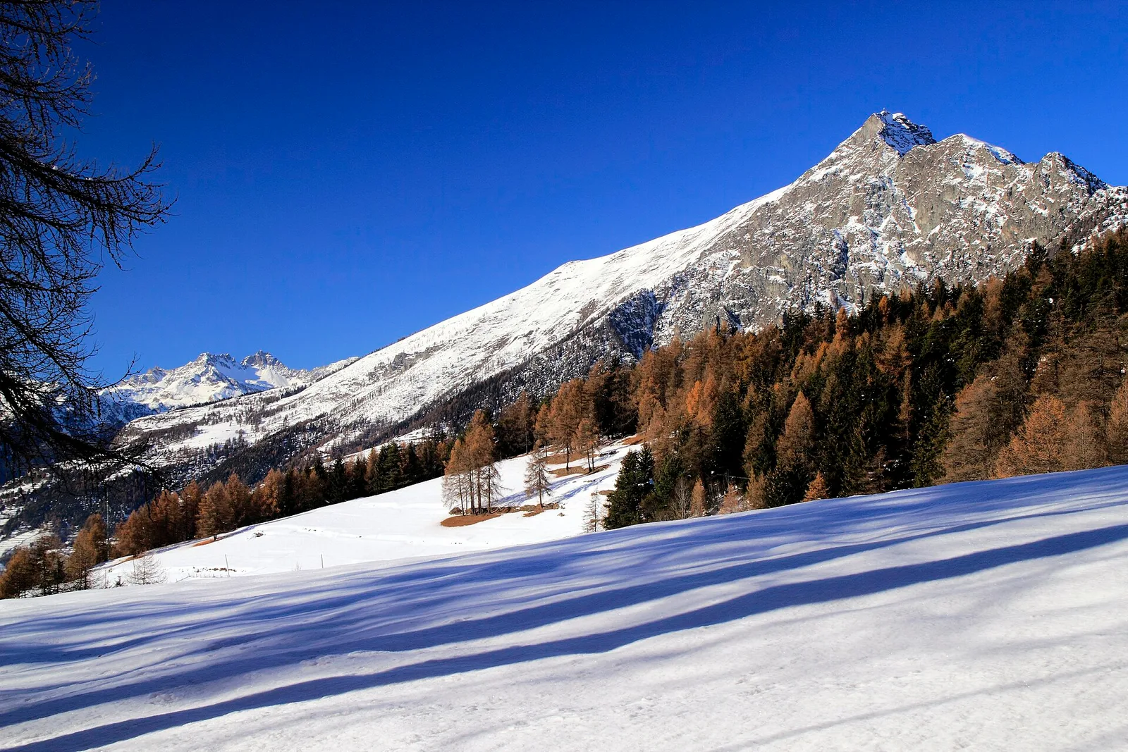
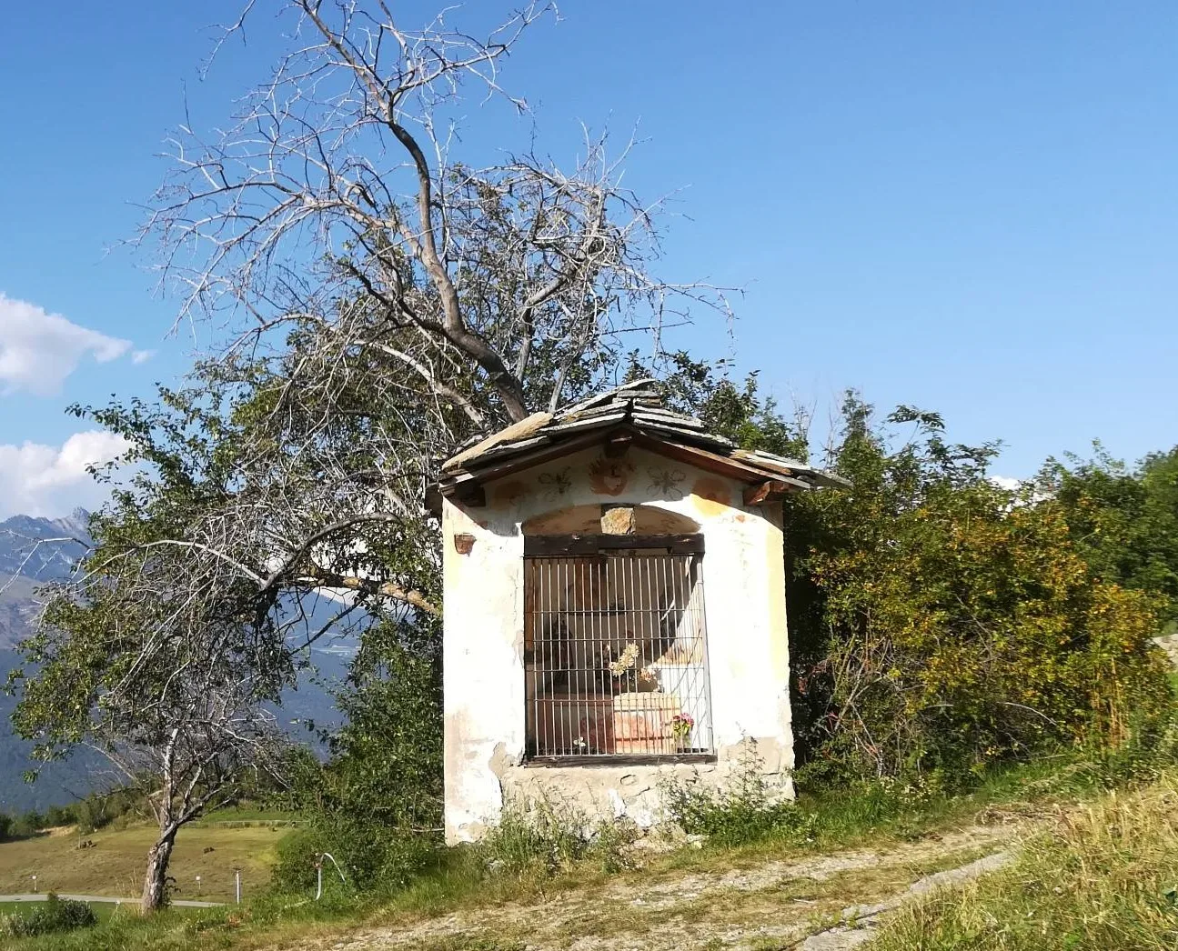
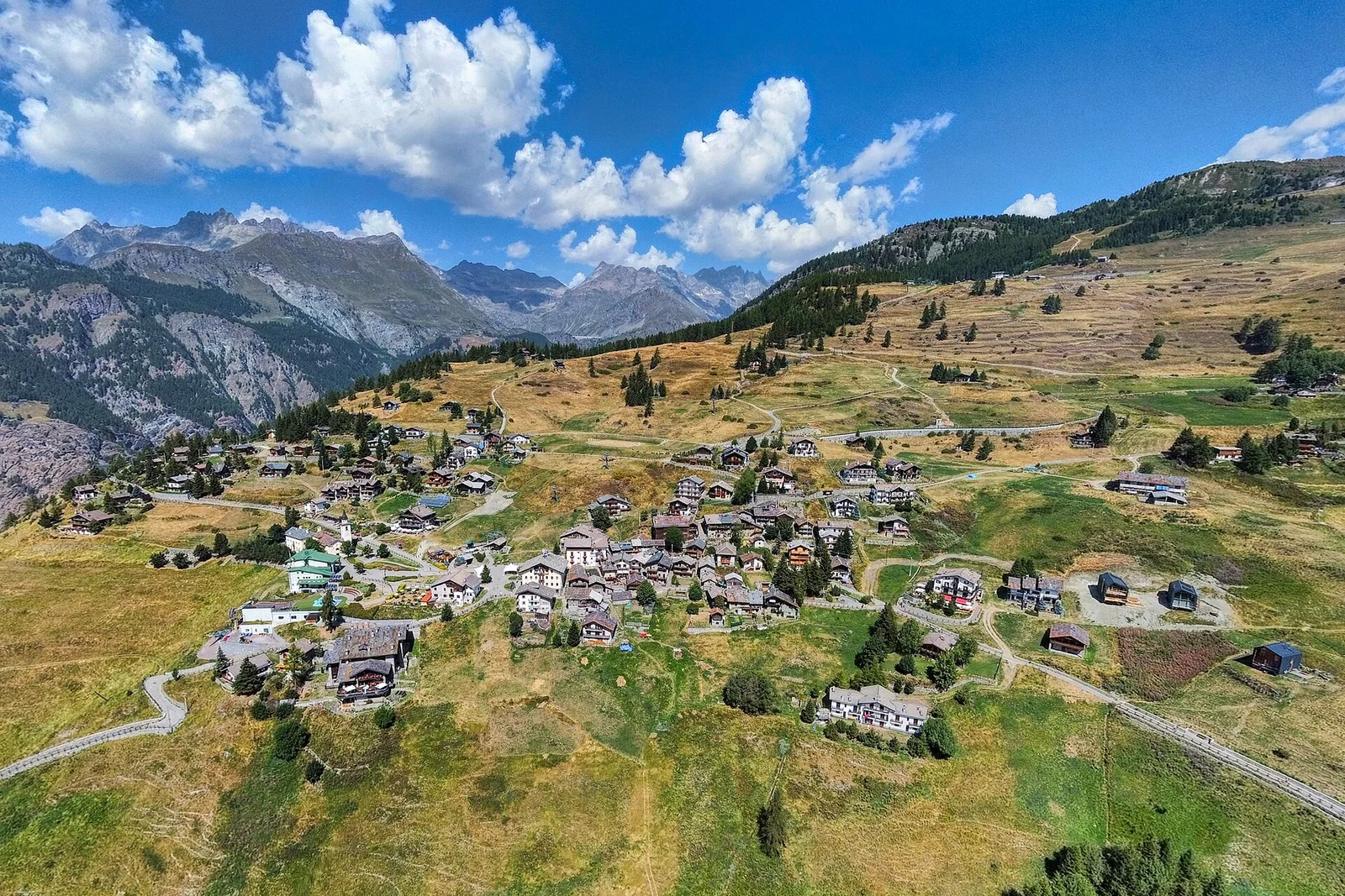
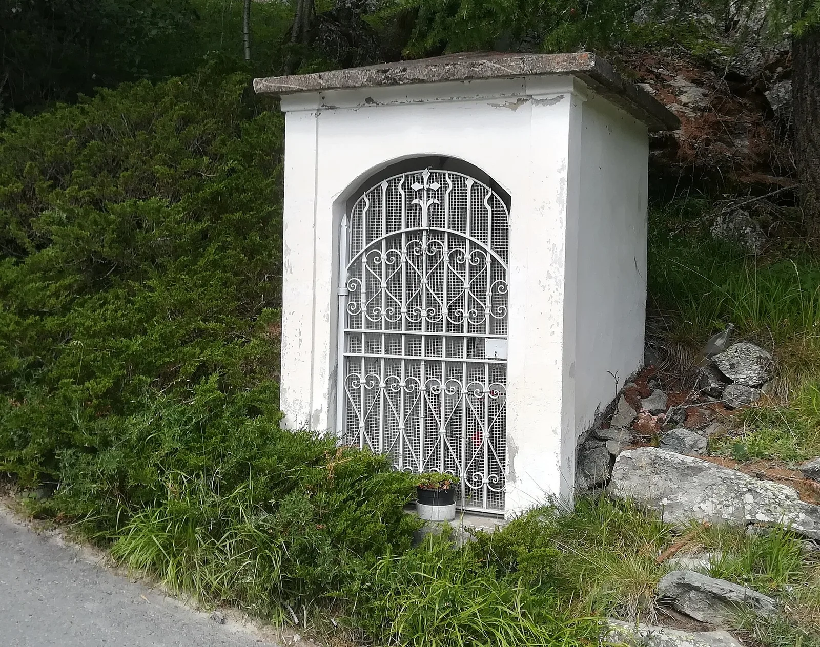
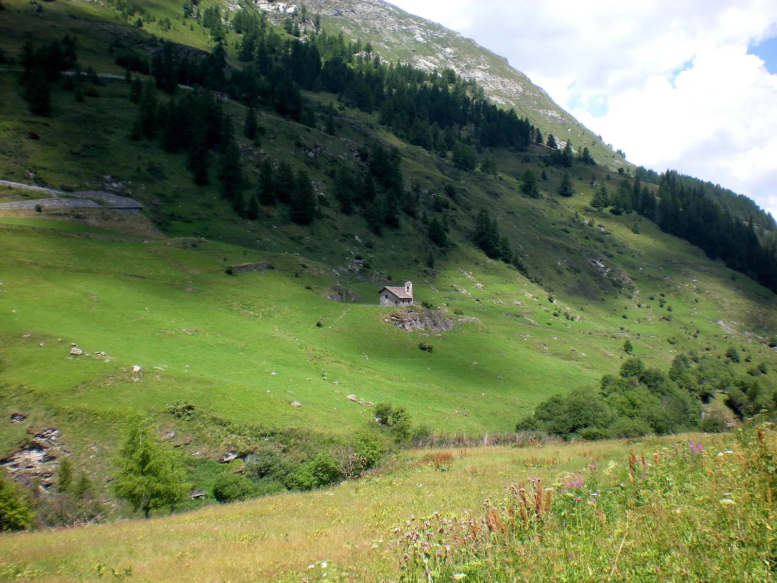
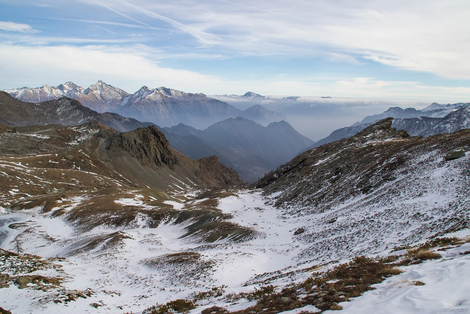
Valgrisenche
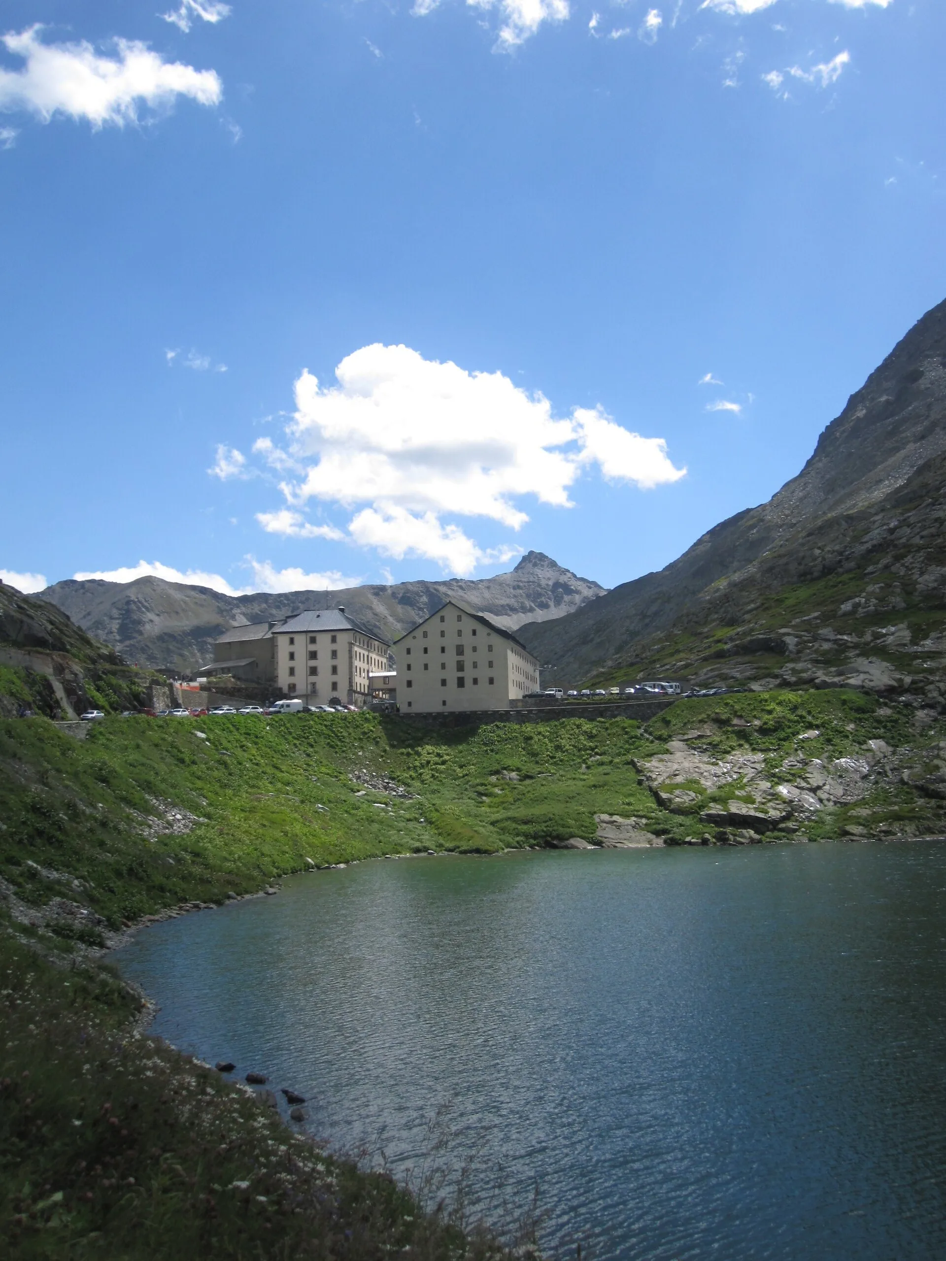
Balconata dal Belvedere al lago di San Grato
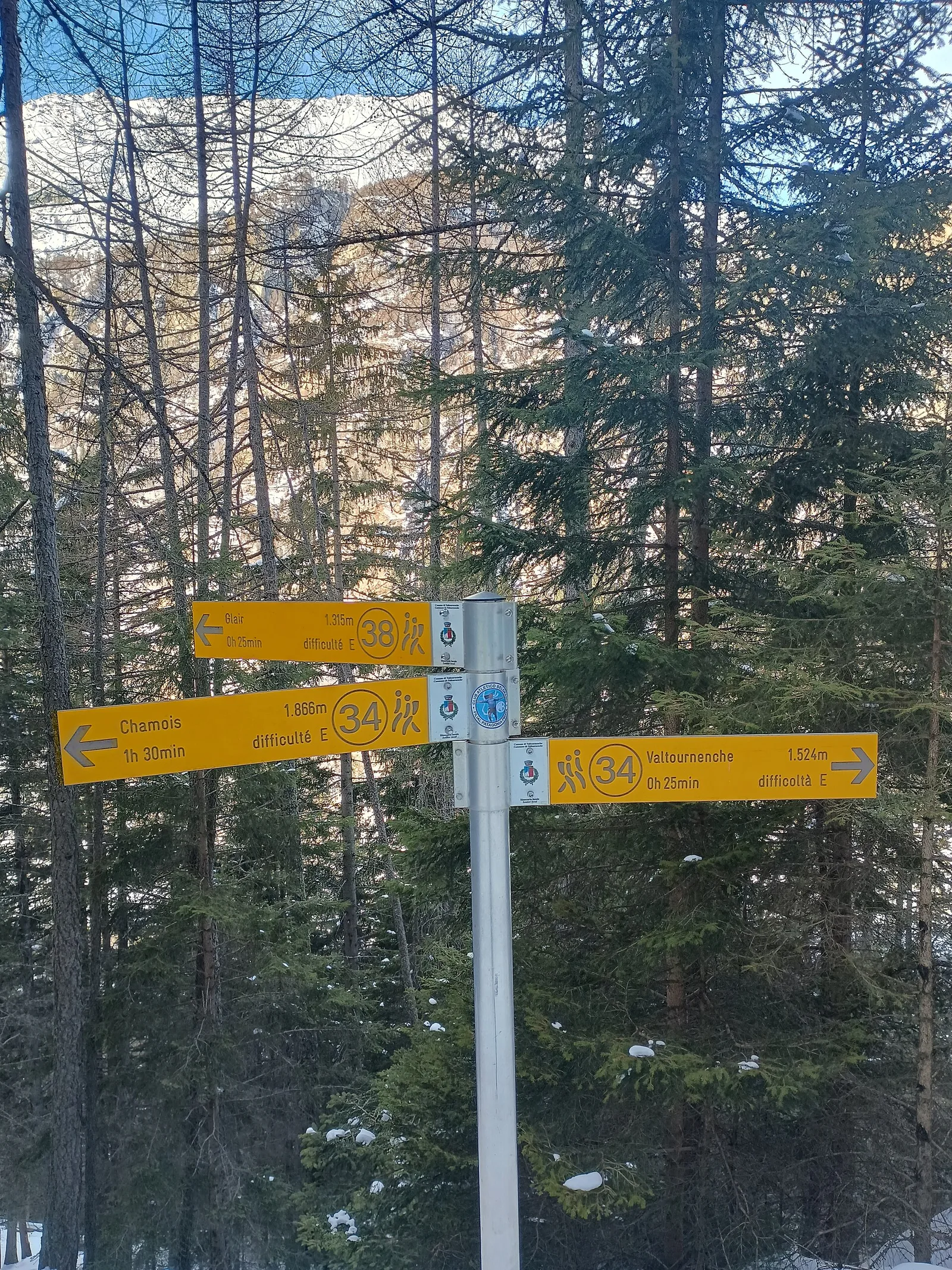
4.9 km · +705 m · E — from Bois de Grillet to Lago di San Grato (Valtournenche).
4.9 km+705 m3 h
Where to spot
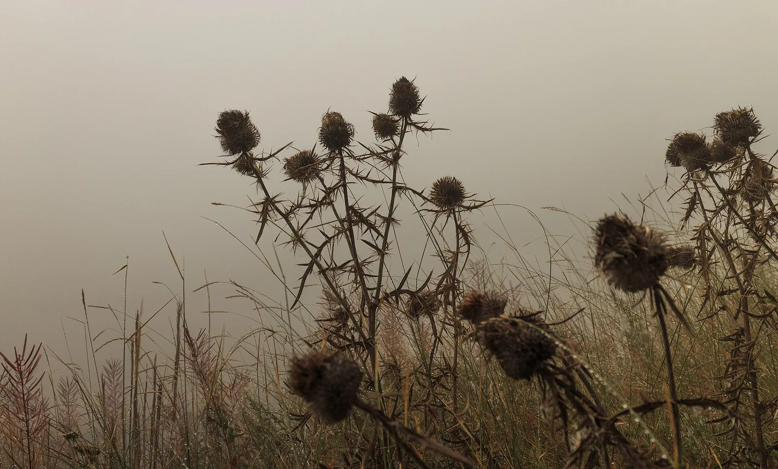
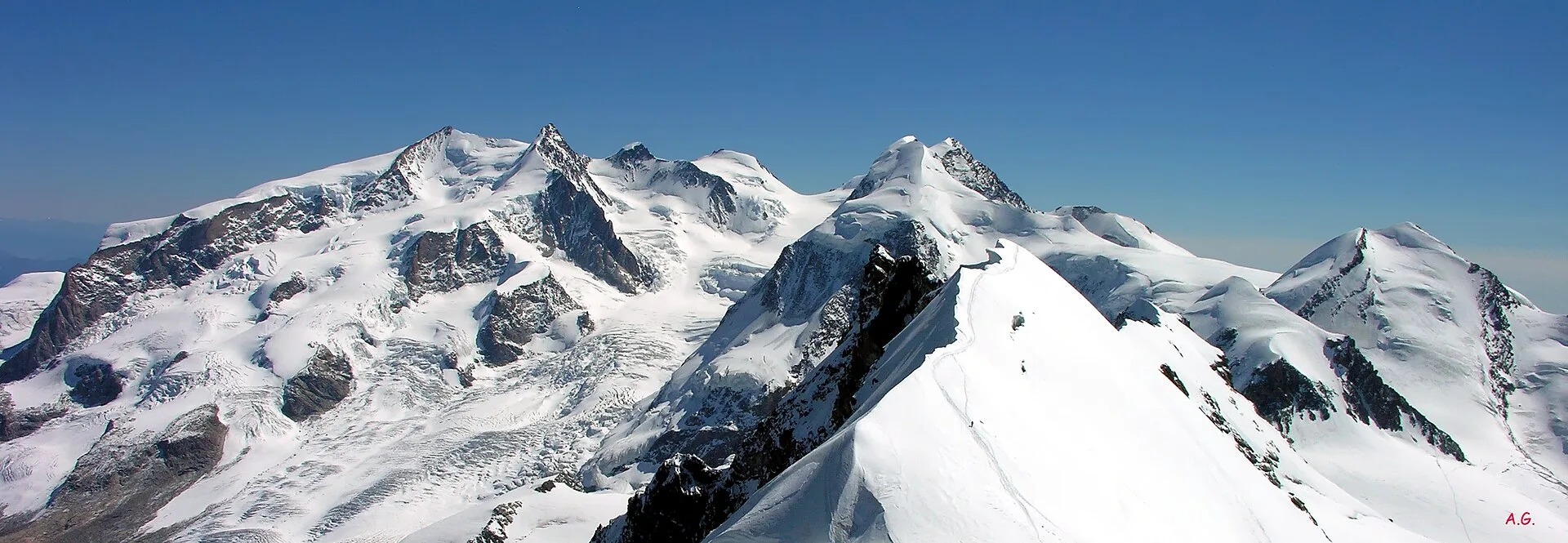
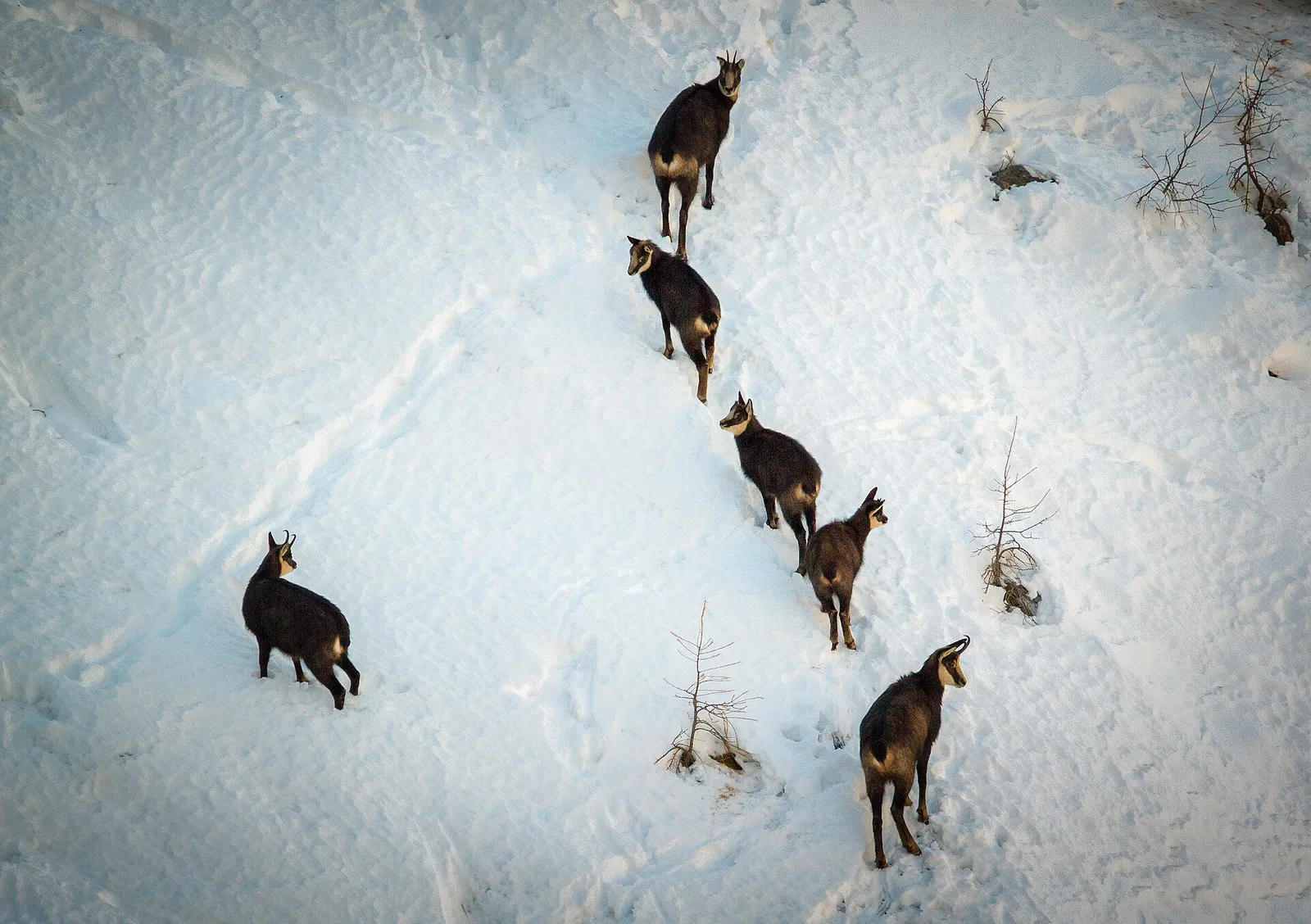
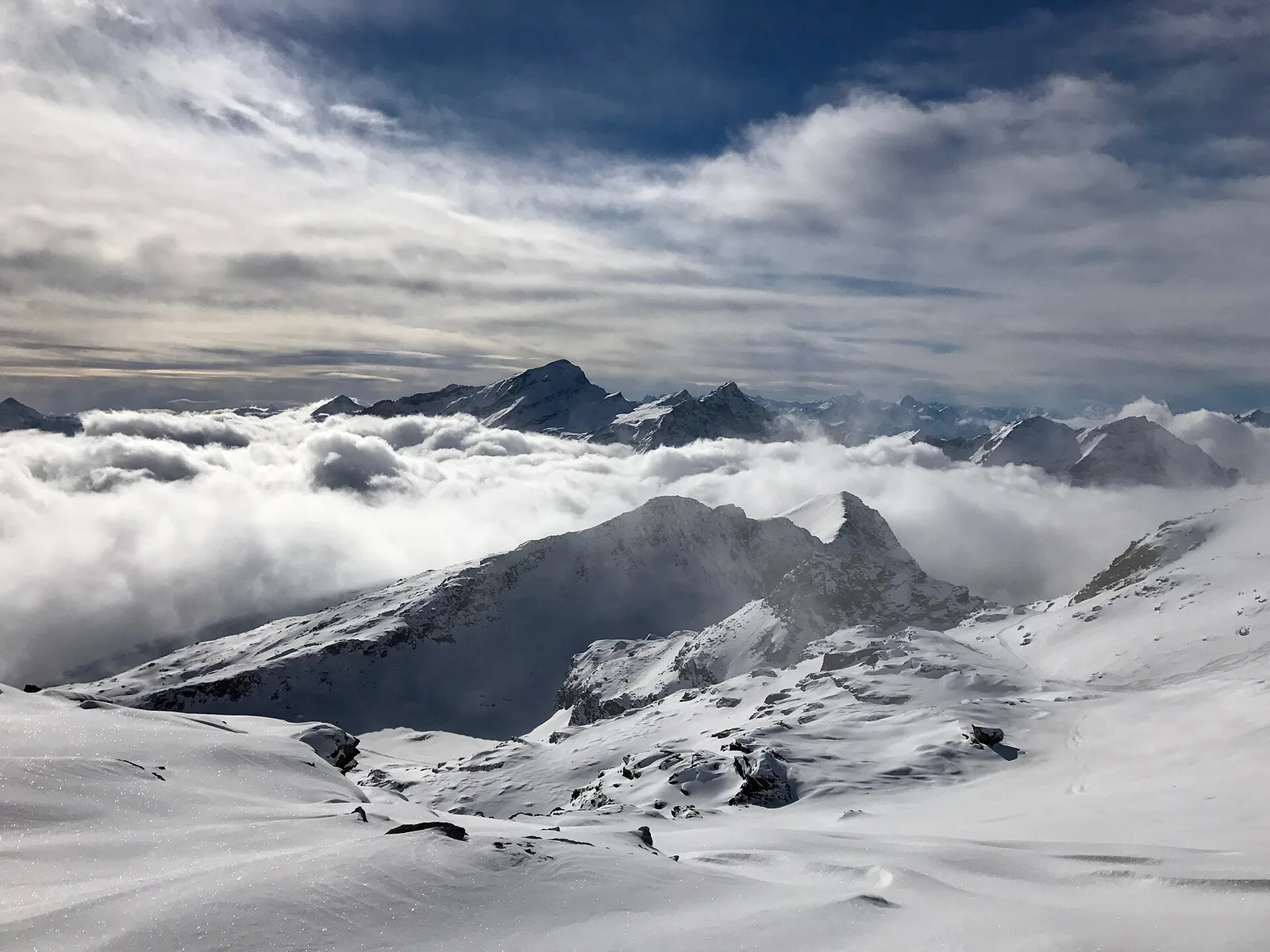
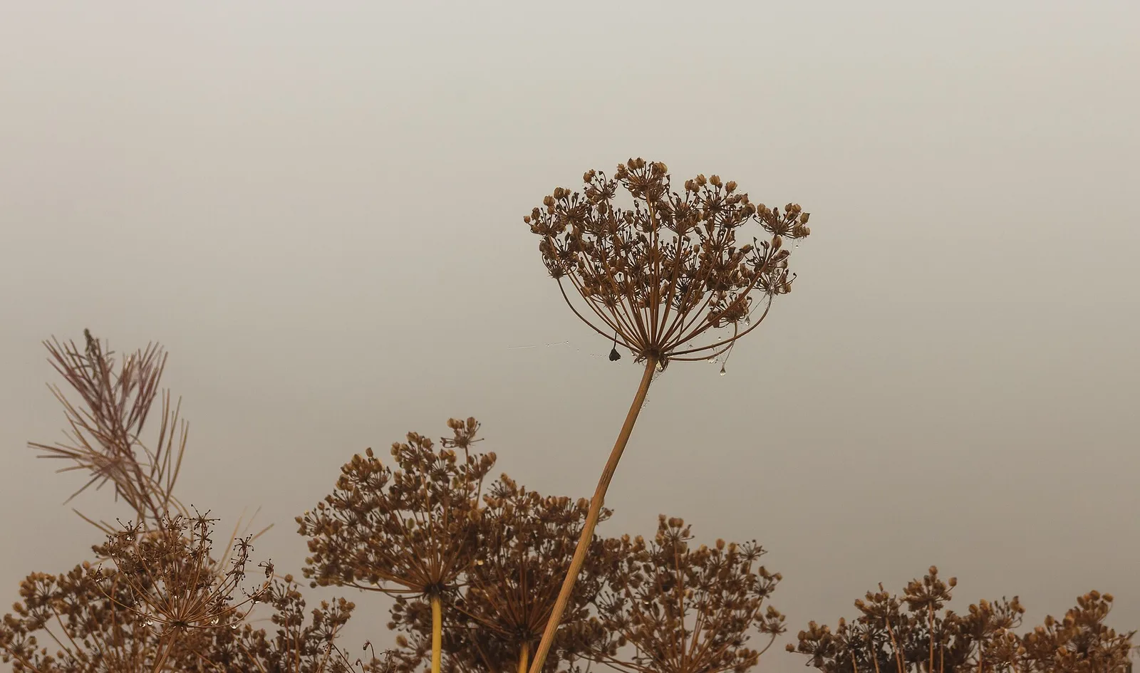
55 trails where Swiss stone pine is listed in flora/fauna: difficulty T–EE, elevation gain 104–1766 m.
55 · 0.9–12.7 km · +104–1766 m
Valgrisenche
4.9 km · +705 m · E — from Bois de Grillet to Lago di San Grato (Valtournenche).
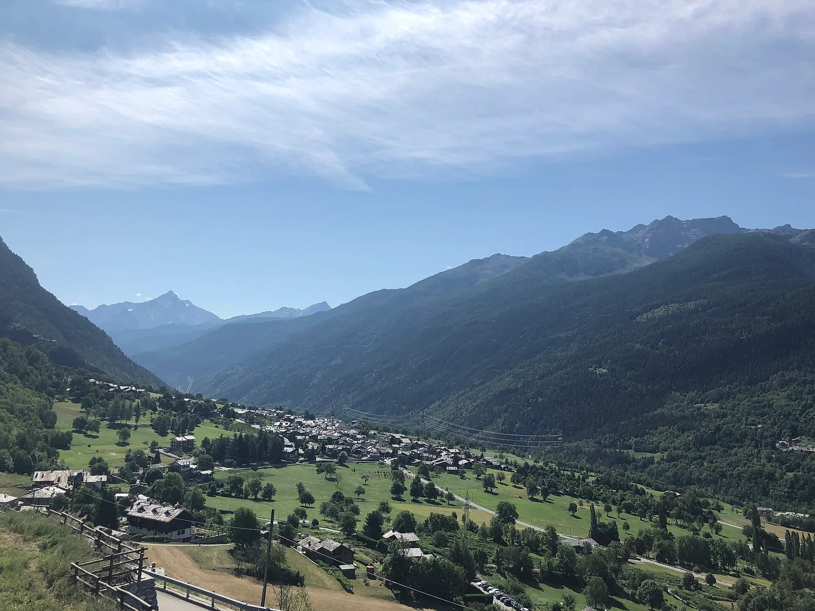
Val d'Ayas
Upper Val d'Ayas, Brusson: a route toward a panoramic objective over open terrain.
Valle centrale
1.7 km · +213 m · E — from Chamolé to Col Replan (Cogne Valley).
Val di Cogne
5.1 km · +904 m · E — from Champlong to Taveronaz (Lys Valley).
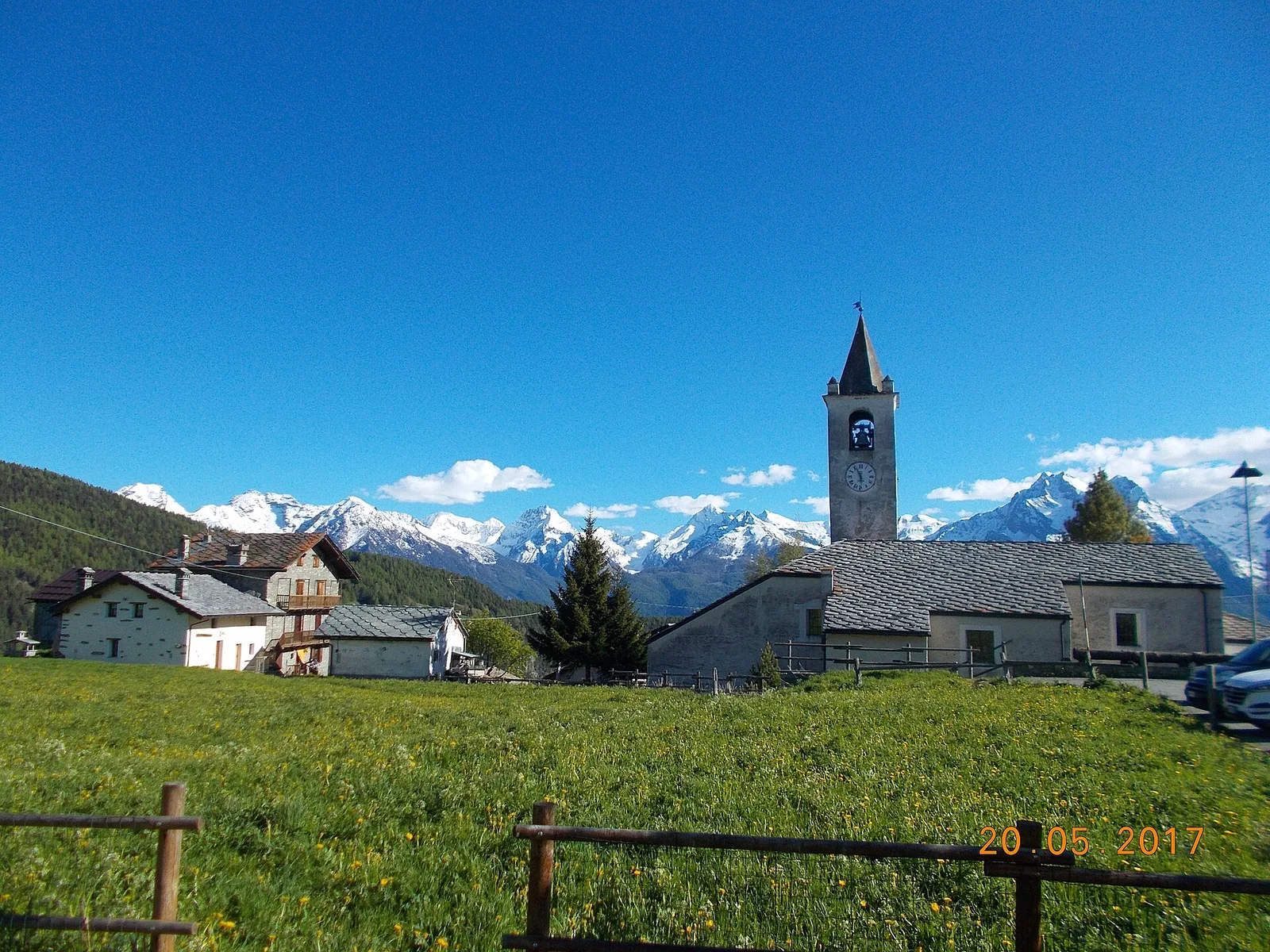
Val di Rhêmes
6.4 km · +210 m · E — from Chanavey to Thumel (Great St Bernard Valley).
Valle centrale
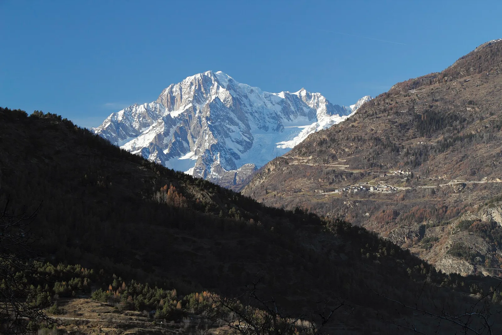
In the Valdigne, La Salle: an E-rated climb toward upper slope zones with views of Mont Blanc.
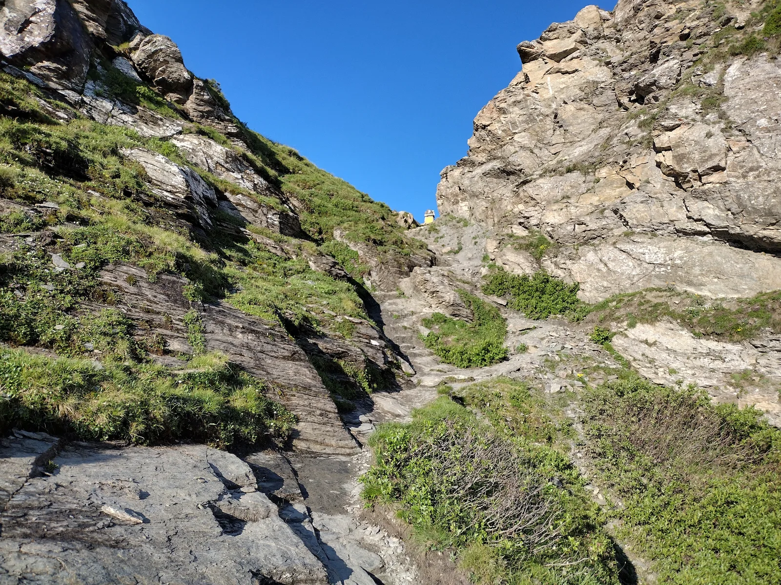
Valpelline
Chez-Chenoux (1739 m) to Alpe Luseney (2478 m), Valpelline: short, steep ascent into a glacial cirque. 3 km, +775 m, E.
Valtournenche
5.9 km · +600 m · E — from Cleva de la Seya to Cleva de la Seya (Central Valley).
Valle centrale
7.2 km · +1539 m · EE — from Cloutraz to Col Giron (Valdigne).

Valle centrale
6.1 km · +974 m · E — from Combelin to Becca France (Central Valley).

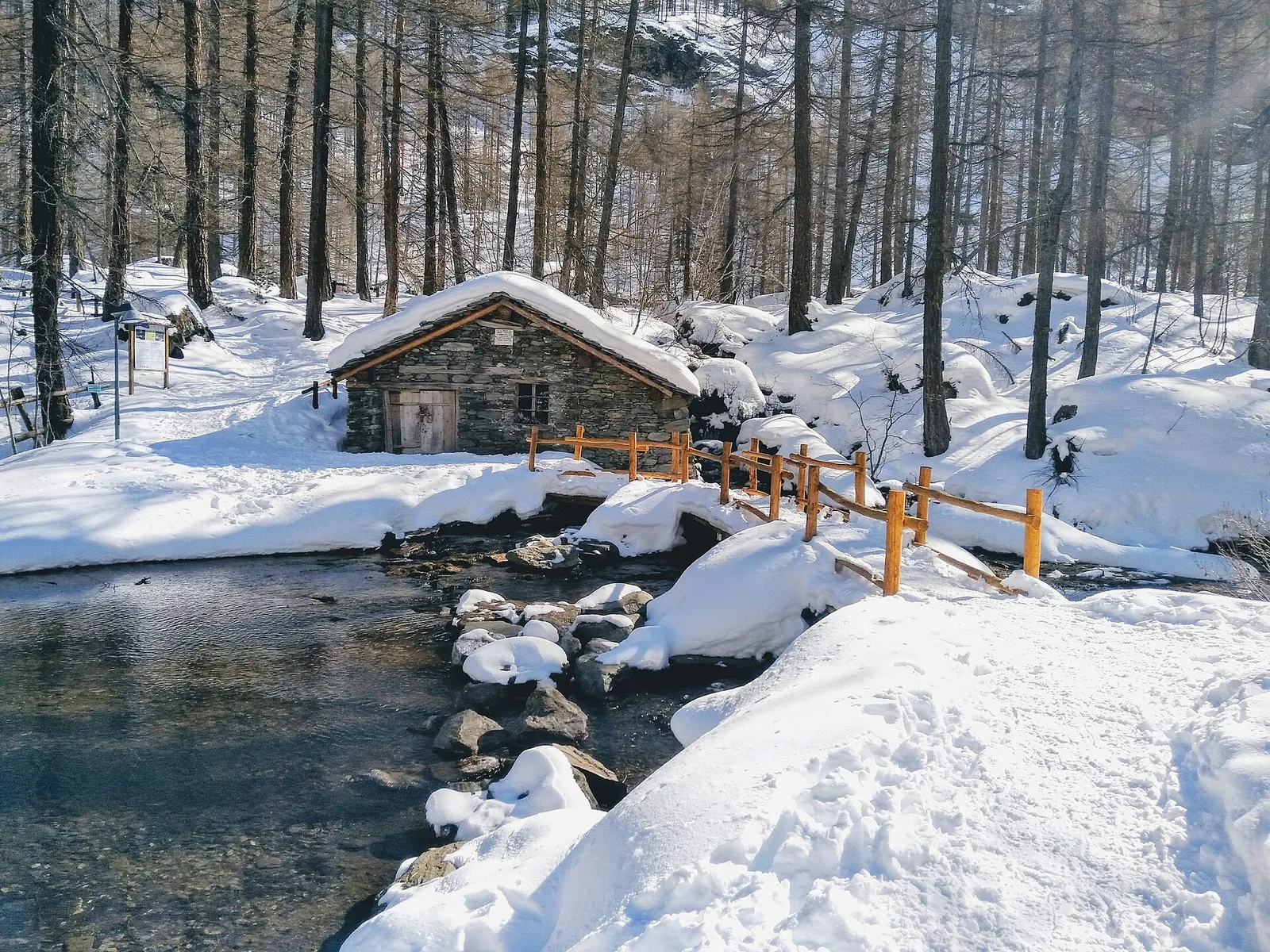
Valle del Gran San Bernardo
From Ville di Allein, an honest climb through pastures and larch woods to the Dortoir Baravex refuge at 1938 m, in the Great St Bernard valley.
Valle centrale
3.1 km · +239 m · E — from Druges to Miniera Servette (Great St Bernard Valley).
Valle centrale
4.8 km · +623 m · E — from Echarlod to Morges (La Thuile).
Valle del Lys
7.8 km · +1429 m · E — from Capoluogo to Col de Gragliasca (Lys Valley).
Valtournenche
In the commune of Antey-Saint-André, Valtournenche: an E-rated route between hamlets and pastures on the sunny slope.
Valtournenche
3.7 km · +112 m · T — from Strada dopo Veuillen to Corgnolaz (Valdigne).
Valle centrale
7.7 km · +287 m · E — from Lignan to Champlaisant (Valpelline).
Val d'Ayas
1.1 km · +260 m · E — from Lignod to Barmasc (Central Valley).
Val d'Ayas
1.6 km · +294 m · E — from Lignod to Incrocio Ru (Central Valley).
Valle di Champorcher
5 km · +865 m · EE — from Maison Blanche to Praz Premier (Lys Valley).
Valle centrale
3.2 km · +339 m · E — from Marchaucy to Ponteille (Lys Valley).
Val Ferret
9 km · +998 m · E — from Mayencet to Tête de Bernarde (Great St Bernard Valley).
Valtournenche
6.2 km · +910 m · E — from Châté to Mont Méabé (Valpelline).
Valle di Champorcher
9.5 km · +1766 m · E — from Monteil to Col Pousseuil (Valtournenche).
Val di Cogne
0.9 km · +104 m · E — from Montroz to Gimillan (Lys Valley).
Valle centrale
7.9 km · +832 m · E — from Morgex, sentiero 8, quota 950 to Petosan (Central Valley).
Valle del Lys
3.2 km · +328 m · E — from Muni to Col Dondeuil (Ayas Valley).
Valle del Lys
3.9 km · +952 m · EE — from Niel to Punta dei Tre Vescovi (Great St Bernard Valley).
Val d'Ayas
3.9 km · +1057 m · E — from Omens to Bec de l'Oie (Valtournenche).
Valle di Champorcher
5.5 km · +892 m · E — from Outre l'Eve to Pian Ciampaney (Valtournenche).
Valle centrale
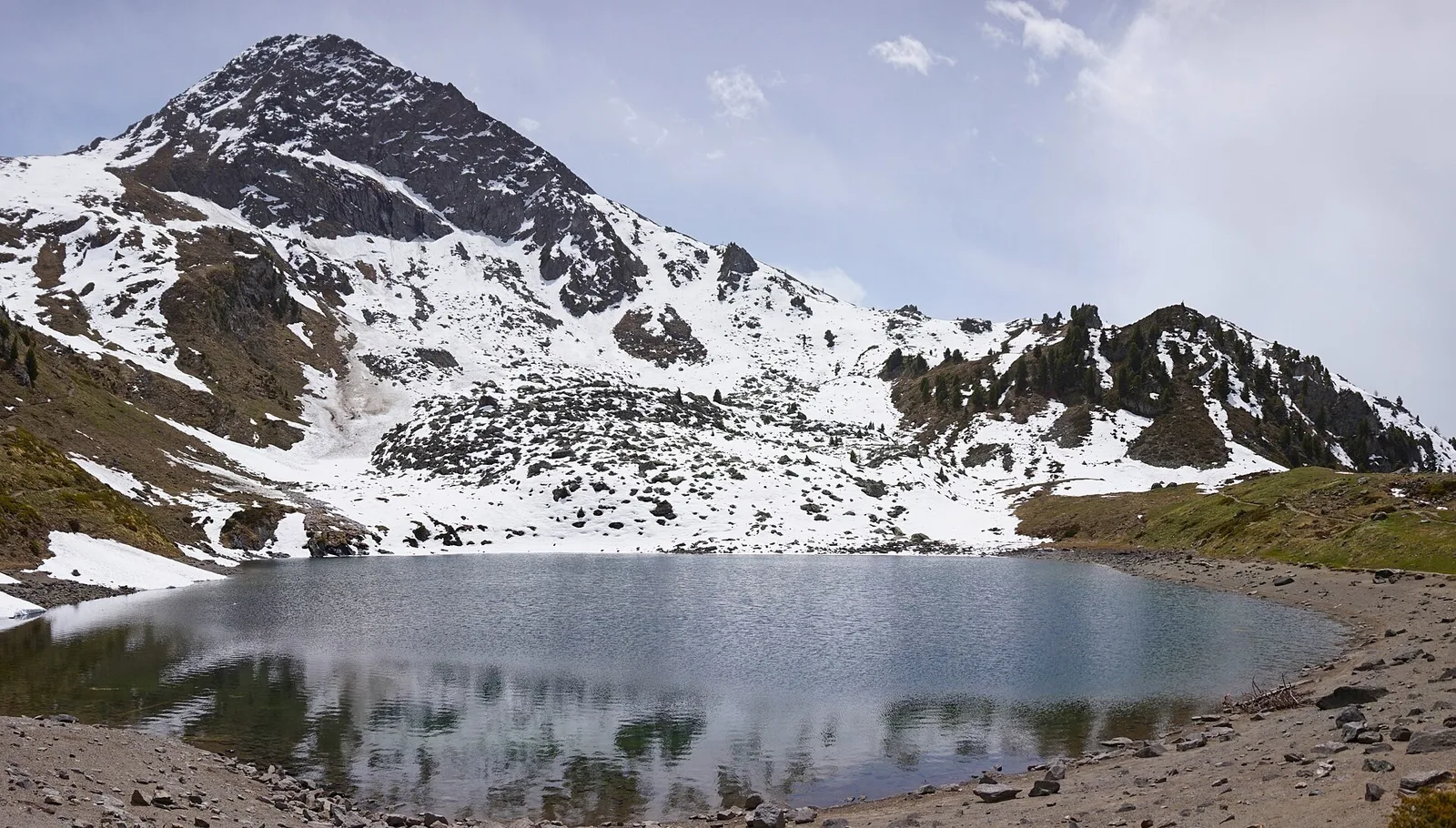
5.9 km · +1385 m · E — from Oveillan to Tsa de Metz (Valgrisenche).
Valtournenche
5 km · +296 m · E — from Paquier to Chamois (Central Valley).
La Thuile
11.4 km · +1418 m · E — from Parcheggio Area camper to Col de la Lex Blanche (Lys Valley).
Val di Cogne
4.8 km · +398 m · E — from Pila to Plan de l'Eyvie (Lys Valley).
Val Veny
1.2 km · +156 m · E — from Plan de Lognan to Jardin du Miage (Lac Vert) (Great St Bernard Valley).
Valpelline
6 km · +1217 m · E — from Ponte Vernosse to Col de L'Arpeyssaou (Lys Valley).
Val Ferret
2.3 km · +421 m · EE — from Pré de Pascal to Mont-Chetif (Great St Bernard Valley).
Valle del Lys
From Quinçod (1030m) to Colle Chasten (2549m) via Merendiou: 8.6 km EE with 1708 m of ascent, crossing all altitude bands of the Val d'Ayas.
Valle di Champorcher
5.3 km · +576 m · E — from Rifugio Dondena to Col Laris (Valtournenche).
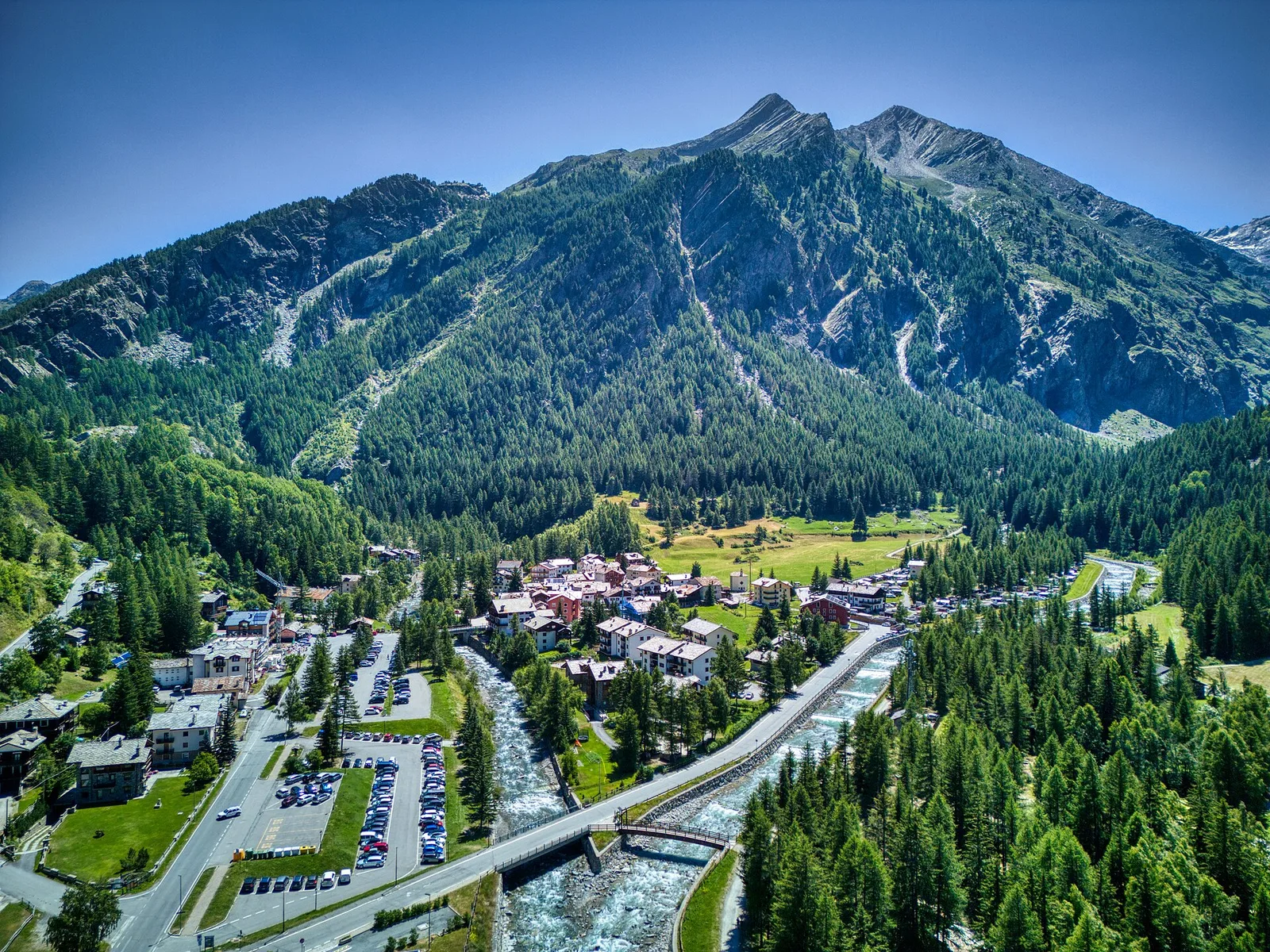
Valgrisenche
4.3 km · +507 m · E — from Rocher (inizio divieto) to Rifugio Chalet de l'Epée (Valtournenche).
Valsavarenche
2.2 km · +375 m · E — from Rovenaud to Maisoncle (Ayas Valley).
Valle del Lys
4.2 km · +802 m · EE — from Sainte-Marguerite to Col Giassit (Central Valley).
Valle centrale
2.1 km · +740 m · EE — from Servettaz to Druges (Lys Valley).
Valle del Lys
3.4 km · +539 m · E — from Staffal to Rifugio del Lys (Lys Valley).
Valle di Champorcher
2.5 km · +542 m · E — from Strada Dondena to Col Lago Bianco (Valtournenche).
Valle centrale
5.2 km · +1065 m · E — from S. R. Valsavarenche to Mont Blanc (Lys Valley).
Valle del Lys
12.7 km · +1425 m · E — from Capoluogo to Crest (Champorcher Valley).
Valle centrale
A short climb in the Valdigne from Vedun, via Châtelet, to the pastures of the Alpe Or de Breuil, above La Salle.
Valle centrale
2.1 km · +235 m · EE — from Vens to Col du Joux (Central Valley).
Valle centrale
2.4 km · +151 m · E — from Verrogne to Vetan (Central Valley).
Valle di Champorcher
11.1 km · +1272 m · E — from Veulla to Gran lago (Central Valley).
Valle di Champorcher
7.2 km · +1020 m · E — from Veulla to Col du Lac Blanc (Central Valley).
Val di Cogne
From Vieyes, trail no. 5 climbs through Val di Cogne forest and pastures to the Bivacco Mario Gontier (2302 m) on the Grand Nomenon alp: 1167 m of ascent in quiet surroundings.
Valle centrale
4.2 km · +632 m · E — from Voix to Champromenty (Central Valley).
Valle del Lys
1.8 km · +241 m · E — from Weissmatten to Colle di Garda (Champorcher Valley).