Trail guide
The best hikes in the Valpelline
The best hikes in the Valpelline: 13 selected trails with difficulty, distance, elevation gain and links to the route pages. Sentieri VdA guide.
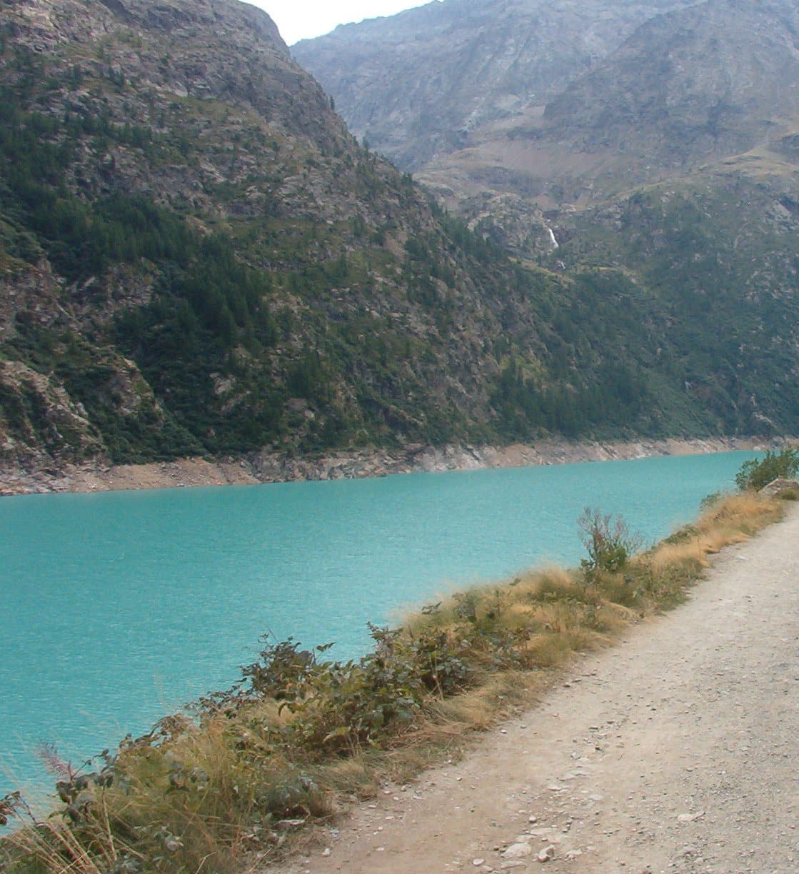
The Valpelline is the wild valley below the Grand Combin and Mont Vélan: the great Place-Moulin lake, the Aosta and Crête Sèche refuges, glacier passes toward Switzerland and the High Routes.
This guide gathers the best trails in the area, all from the Sentieri VdA catalogue: for each one you get the CAI difficulty, distance, elevation gain and a direct link to the route page with map, elevation profile, photos and the day’s weather.
Every itinerary below uses real data from the Aosta Valley trail registry — waymark numbers, distances and elevation gain — and links to the full page with satellite map, GPX track, elevation profile and the nearest town’s weather. Always check conditions before setting off: at altitude the weather changes fast and some passes stay snow-covered into early summer.
Selected trails
Tour des Combins — Stage 1: Ollomont → Saint-Rhémy-en-Bosses
18.6 km · +1635 m · EE — from Ollomont to Saint-Rhémy-en-Bosses.
From Ollomont climb to the luminous By basin, a pastoral amphitheatre below the Grand Combin, and cross the Col Champillon (2,709 m) beside the Letey-Champillon hut. A long descent through pastures and woods reaches Saint-Rhémy-en-Bosses (1,632 m), home of the Jambon de Bosses ham.
Tour of the Matterhorn — Stage 1: Breuil-Cervinia → Rifugio Prarayer
18.2 km · +1418 m · EE — from Breuil-Cervinia to Rifugio Prarayer.
From Breuil-Cervinia climb via the Vofrède valley and the Cignana lakes to the Valcournera pass (3,072 m), a demanding crossing on Alta Via 1. The descent, steep and equipped at first, leads to the Prarayer basin (2,005 m) at the head of the Place Moulin lake.
High Route 1 — Stage 12: Oyace → Ollomont via Col Brison
12.4 km · +1145 m · EE — from Oyace to Ollomont.
Stage twelve crosses the Valpelline from Oyace to Ollomont, climbing over Col Brison (2520 m) in one of the physically most demanding stages for the ratio of elevation gain to distance.
Tour of the Matterhorn — Stage 2: Rifugio Prarayer → Arolla
16.8 km · +1084 m · A — from Rifugio Prarayer to Arolla.
From Prarayer the historic Tour du Cervin crosses the Col Collon (3,074 m) and the Arolla glacier down to Arolla (2,006 m) in the Val d’Hérens. This is a true glacier crossing: only with a mountain guide, rope and crampons.
High Route 1 — Stage 13: Ollomont → Rifugio Champillon
9.5 km · +1070 m · E — from Ollomont to Rifugio Champillon.
Stage thirteen is the first of the final sequence steering the Alta Via 1 toward the Mont Blanc massif: from Ollomont the trail climbs over 1000 metres to Rifugio Champillon in the Conca di By, one of the most unspoiled landscapes in the entire Aosta Valley.
Tour des Combins — Stage 7: Cabane de Chanrion → Ollomont
16.9 km · +643 m · EE — from Cabane de Chanrion to Ollomont.
From the Cabane de Chanrion climb among tarns and roches moutonnées to the Fenêtre de Durand (2,797 m), the historic crossing between Valais and Valpelline watched over by Mont Gelé. The long descent through the By valley, past waterfalls and alps, returns to Ollomont (1,356 m), where the Tour des Combins closes.
High Route 1 — Stage 14: Rifugio Champillon → Saint-Rhémy-en-Bosses
14 km · +522 m · E — from Rifugio Champillon to Saint-Rhémy-en-Bosses.
Stage fourteen carries the Alta Via 1 from Rifugio Champillon to the upper Grand Saint-Bernard valley, one of the great historic communication routes between Italy and Switzerland.
High Route 1 — Stage 11: Rifugio Oratorio di Cuney → Oyace
15 km · +504 m · EE — from Rifugio Oratorio di Cuney to Oyace.
Stage eleven brings the Alta Via 1 down from the high central section — Rifugio Oratorio di Cuney at 2652 m — to the Valpelline valley floor at Oyace, crossing exposed ridges and solitary pastures in a long descent losing nearly 1400 metres.
Col Collon - Colle del Teodulo
33.1 km · +2969 m · EE — from Col Collon to Colle del Teodulo.
Col Collon - Colle del Teodulo is an official trail from the Aosta Valley trail registry (code TC_S1). The route lies in the municipality of Bionaz, in the Valpelline. From Col Collon (3077 m) to Colle del Teodulo (3297 m): 33.1 km with +2969 m of elevation change, difficulty EE (CAI scale).
Valpelline - Col di Viou - Becca di Viou
6.9 km · +1900 m · E — from Capoluogo to Becca di Viou.
Valpelline - Col di Viou - Becca di Viou is an official trail from the Aosta Valley trail registry (code 69_S5). The route lies in the municipality of Verrayes, in the Valtournenche. From Capoluogo (963 m) to Becca di Viou (2859 m): 6.9 km with +1900 m of elevation change, difficulty E (CAI scale).
Le Closé - Colle Vessona
9.2 km · +1563 m · E — from Closé to Colle Vessona.
Le Closé - Colle Vessona is an official trail from the Aosta Valley trail registry (code 47_S4). The route lies in the municipality of Perloz, in the Lys Valley. From Closé (1463 m) to Colle Vessona (2807 m): 9.2 km with +1563 m of elevation change, difficulty E (CAI scale).
Doues, Planavilla - Col Champillon
7.8 km · +1552 m · E — from Planavilla to Col Champillon.
Doues, Planavilla - Col Champillon is an official trail from the Aosta Valley trail registry (code 24_S8). The route lies in the municipality of Emarèse, in the Valtournenche. From Planavilla (1192 m) to Col Champillon (2707 m): 7.8 km with +1552 m of elevation change, difficulty E (CAI scale).
Valpelline - Col Fouillou
5.6 km · +1484 m · E — from Valpelline to Col Fouillou.
Valpelline - Col Fouillou is an official trail from the Aosta Valley trail registry (code 69_S7). The route lies in the municipality of Verrayes, in the Valtournenche. From Valpelline (953 m) to Col Fouillou (2448 m): 5.6 km with +1484 m of elevation change, difficulty E (CAI scale).
Explore the full catalogue on the Trails page and plan your next hike in the Aosta Valley.
Cover photo: Franco56 · CC BY-SA 3.0