Trail guide
The best hikes in Valsavarenche
The best hikes in Valsavarenche: 13 selected trails with difficulty, distance, elevation gain and links to the route pages. Sentieri VdA guide.
The Gran Paradiso valley par excellence: from Pont and Pravieux trails climb to the Vittorio Emanuele II and Chabod refuges, bases for the 4,061 m summit, among high pastures and ibex colonies.
This guide gathers the best trails in the area, all from the Sentieri VdA catalogue: for each one you get the CAI difficulty, distance, elevation gain and a direct link to the route page with map, elevation profile, photos and the day’s weather.
Every itinerary below uses real data from the Aosta Valley trail registry — waymark numbers, distances and elevation gain — and links to the full page with satellite map, GPX track, elevation profile and the nearest town’s weather. Always check conditions before setting off: at altitude the weather changes fast and some passes stay snow-covered into early summer.
Selected trails
Gran Paradiso Tour — Stage 8: Eaux Rousses → Rifugio Vittorio Sella
16.7 km · +1755 m · EE — from Eaux Rousses to Rifugio Vittorio Sella.
The loop returns towards Cogne re-crossing the Col Lauson (3,296 m) from the Levionaz side: 1,600 metres of steady climbing on the royal mule track, often in the company of ibex, to regain the pass and descend to Rifugio Vittorio Sella (2,588 m).
High Route 2 — Stage 8: Eaux-Rousses → Rifugio Vittorio Sella
16 km · +1644 m · EE — from Eaux-Rousses to Rifugio Vittorio Sella.
Sustained climb to Col du Loson, the highest point on the entire VdA High Route system, and descent to Rifugio Vittorio Sella. Alta Via 2’s big day: 1,600 metres of steady climbing on the Levionaz royal mule track to the Col Lauson (3,296 m), the Park’s highest hiking pass, with a final stretch on equipped ledges.
Gran Paradiso Tour — Stage 7: Rhêmes-Notre-Dame → Eaux Rousses
15.1 km · +1283 m · EE — from Rhêmes-Notre-Dame to Eaux Rousses.
From Rhêmes-Notre-Dame climb through the Entrelor forest and high pastures to the Col Entrelor (3,007 m), between the realms of the chamois and the bearded vulture. The descent passes the Djouan lakes and the Orvieille alp, an old royal hunting reserve, down to Eaux-Rousses (1,666 m).
High Route 2 — Stage 7: Rhêmes-Notre-Dame → Eaux-Rousses
16 km · +1281 m · E — from Rhêmes-Notre-Dame to Eaux-Rousses.
Climb to Col de l'Entrelor (3002 m), cross Lake Djouan and descend into Valsavarenche to Eaux-Rousses in Gran Paradiso National Park. You enter the Park’s heart: the climb to the Col Entrelor (3,007 m) crosses the Entrelor forest and high pastures where chamois are at home.
Gran Paradiso Tour — Stage 3: Rifugio Vittorio Sella → Eaux Rousses
16.7 km · +827 m · EE — from Rifugio Vittorio Sella to Eaux Rousses.
From the Sella hut climb to the Col Lauson (3,296 m), the tour’s highest point and one of the highest hiking passes in the Alps, with a steep final stretch on scree. A long descent through the Levionaz valley, among chamois and marmots, reaches Eaux-Rousses (1,666 m) in Valsavarenche.
Gran Paradiso Tour — Stage 5: Pont → Rifugio Città di Chivasso
9.6 km · +710 m · E — from Pont to Rifugio Città di Chivasso.
From Pont climb to the wonderful Nivolet plateau, one of the widest high-altitude plains in the Alps, dotted with lakes and peat bogs, to the Col del Nivolet (2,612 m). Minutes beyond the pass, already in Piedmont above the Orco valley and the Ceresole lakes, you overnight at the Città di Chivasso hut (2,604 m).
Toulaplana, Creton - Orvieille (Pavillon royal de chasse) - Pointe Bioula
7.9 km · +1795 m · EE — from Toulaplana, Creton to Pointe Bioula.
Toulaplana, Creton - Orvieille (Pavillon royal de chasse) - Pointe Bioula is an official trail from the Aosta Valley trail registry (code 70_S3). The route lies in the municipality of Verrès, in the Ayas Valley. From Toulaplana, Creton (1620 m) to Pointe Bioula (3413 m): 7.9 km with +1795 m of elevation change, difficulty EE (CAI scale).
Tignet - Col Loson
9.5 km · +1634 m · E — from Tignet to Col Loson.
Tignet - Col Loson is an official trail from the Aosta Valley trail registry (code 70_S25). The route lies in the municipality of Verrès, in the Ayas Valley. From Tignet (1714 m) to Col Loson (3296 m): 9.5 km with +1634 m of elevation change, difficulty E (CAI scale).
Pont du Grand Clapey - Col Manteau
6 km · +1072 m · E — from Pont du Grand Clapey to Col Manteau.
Pont du Grand Clapey - Col Manteau is an official trail from the Aosta Valley trail registry (code 70_S7). The route lies in the municipality of Verrès, in the Ayas Valley. From Pont du Grand Clapey (1728 m) to Col Manteau (2804 m): 6 km with +1072 m of elevation change, difficulty E (CAI scale).
Praviou - Montandayné - Rifugio Chabod
4.9 km · +983 m · E — from Praviou to Rifugio Chabod.
Praviou - Montandayné - Rifugio Chabod is an official trail from the Aosta Valley trail registry (code 70_S21). The route lies in the municipality of Verrès, in the Ayas Valley. From Praviou (1830 m) to Rifugio Chabod (2719 m): 4.9 km with +983 m of elevation change, difficulty E (CAI scale).
Levionaz - Passage du Grand Neyron
6 km · +975 m · EEA — from Levionaz to Passage du Grand Neyron.
Levionaz - Passage du Grand Neyron is an official trail from the Aosta Valley trail registry (code 70_S26). The route lies in the municipality of Verrès, in the Ayas Valley. From Levionaz (2295 m) to Passage du Grand Neyron (3244 m): 6 km with +975 m of elevation change, difficulty EEA (CAI scale).
Fenille - Colle Becca Plana
5.2 km · +966 m · E — from Fenille to Colle Becca Plana.
Fenille - Colle Becca Plana is an official trail from the Aosta Valley trail registry (code 70_S33). The route lies in the municipality of Verrès, in the Ayas Valley. From Fenille (1304 m) to Colle Becca Plana (2298 m): 5.2 km with +966 m of elevation change, difficulty E (CAI scale).
Degioz - Orvieille (Pavillon royal de chasse)
5.9 km · +637 m · E — from Degioz to Orvieille (Pavillon royal de chasse).
Degioz - Orvieille (Pavillon royal de chasse) is an official trail from the Aosta Valley trail registry (code 70_S2). The route lies in the municipality of Verrès, in the Ayas Valley. From Degioz (1562 m) to Orvieille (Pavillon royal de chasse) (2170 m): 5.9 km with +637 m of elevation change, difficulty E (CAI scale).
Explore the full catalogue on the Trails page and plan your next hike in the Aosta Valley.
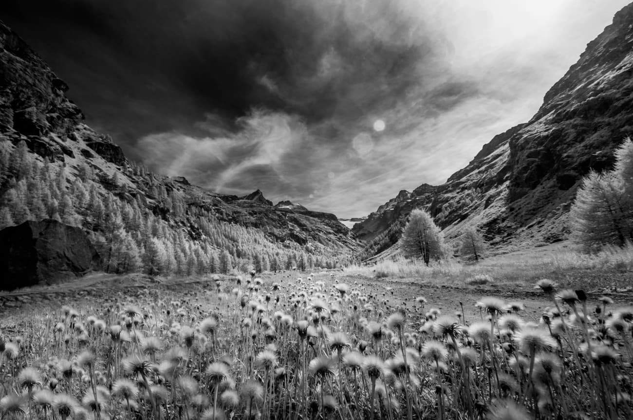
Cover photo: Lara zanarini · CC BY-SA 3.0