
E
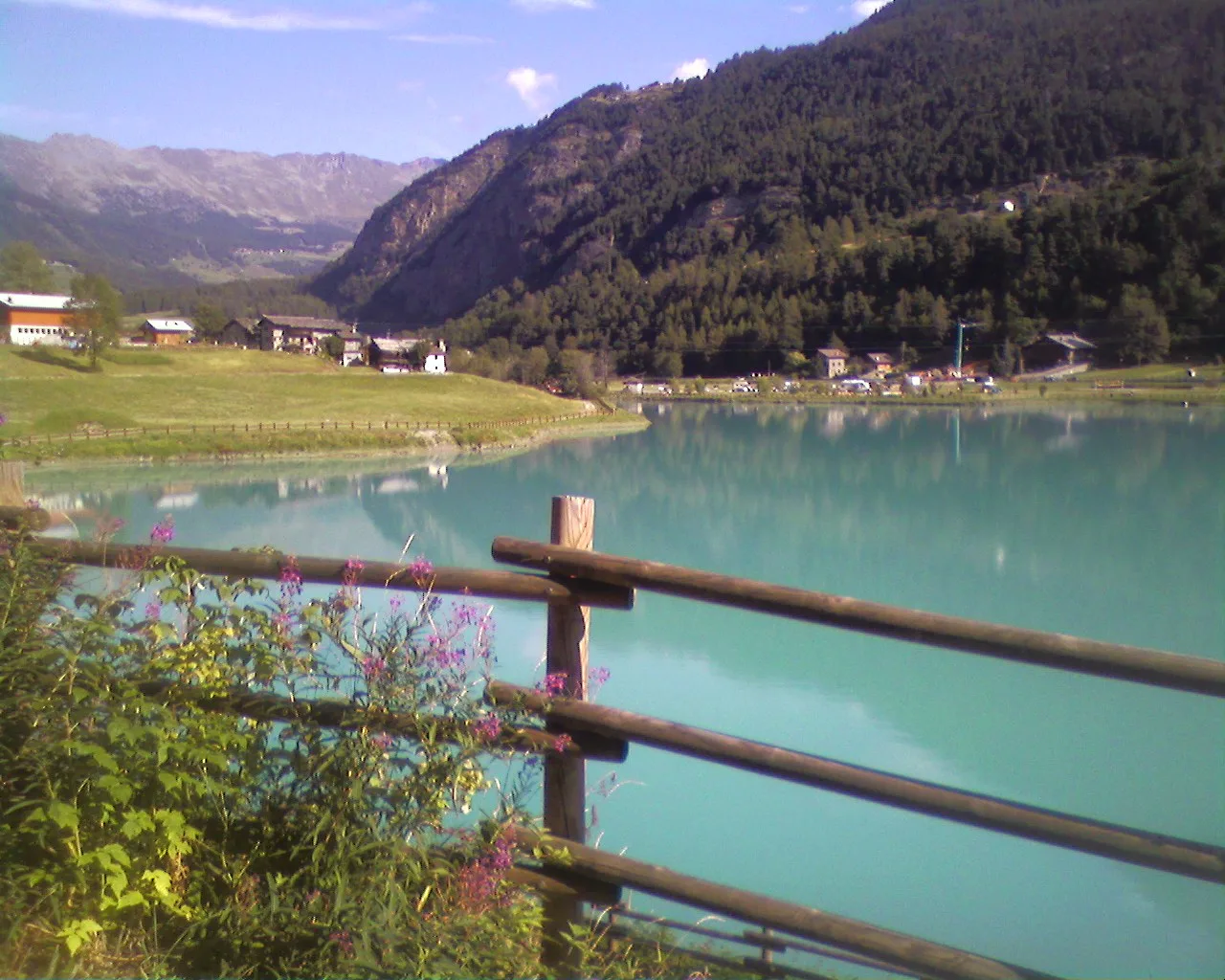
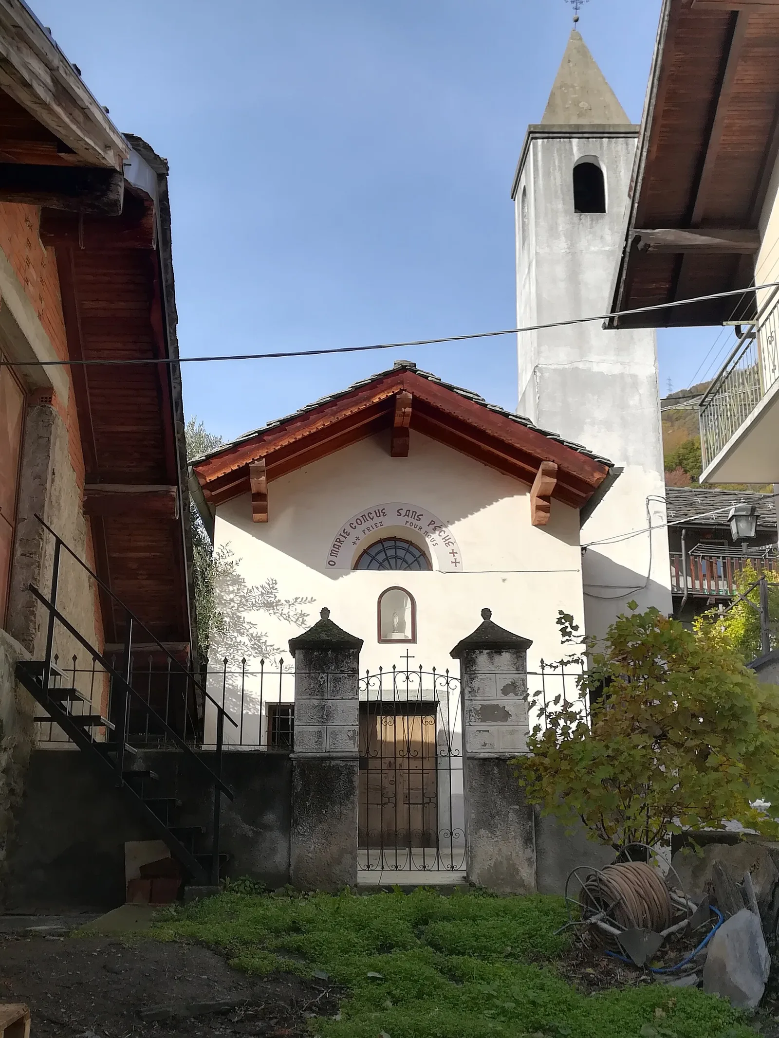
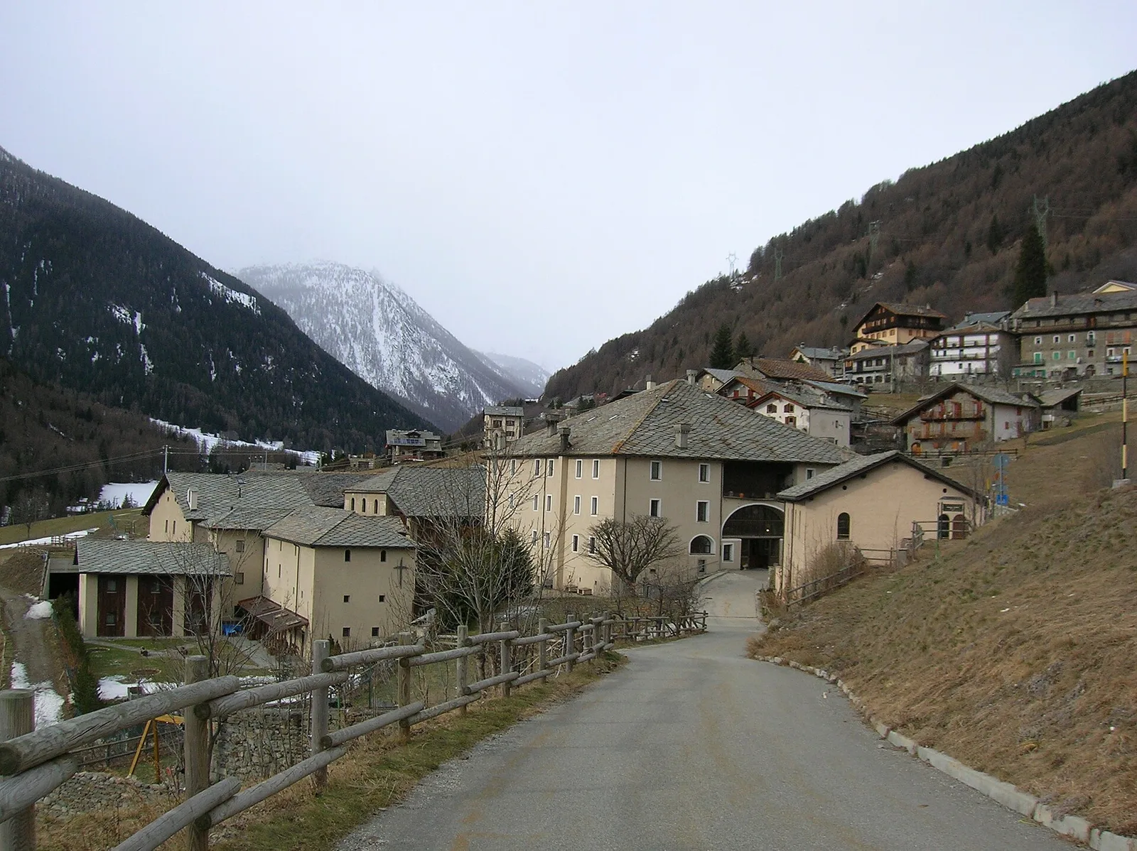
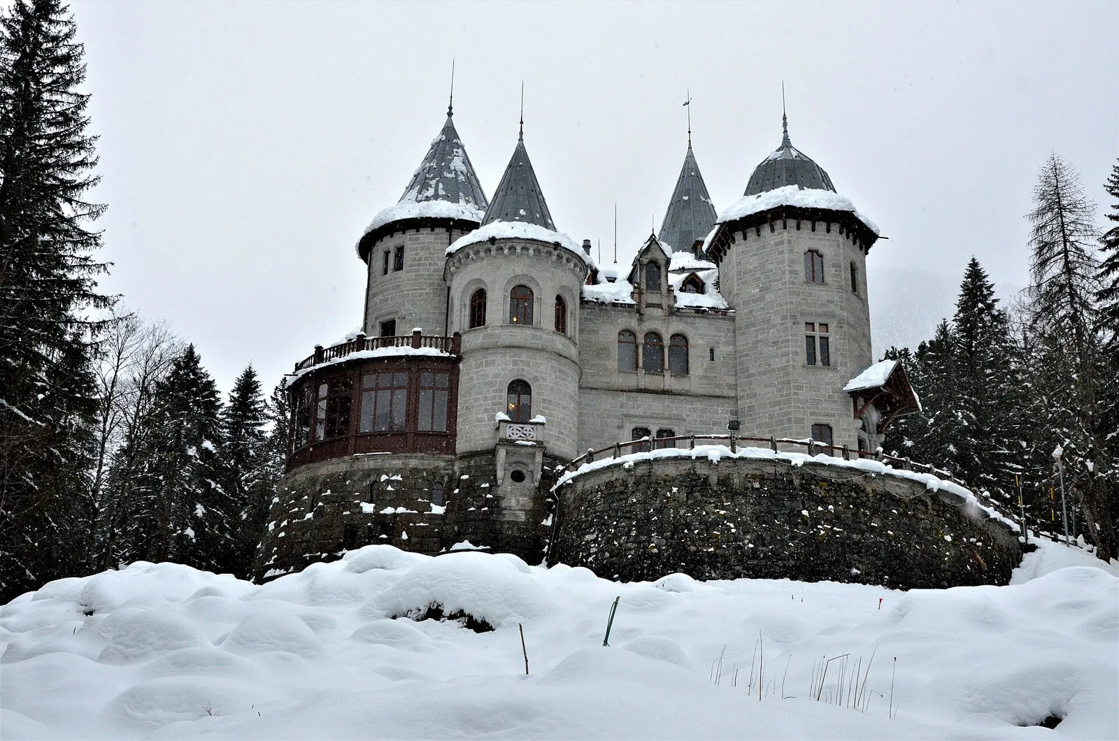
Val di Rhêmes
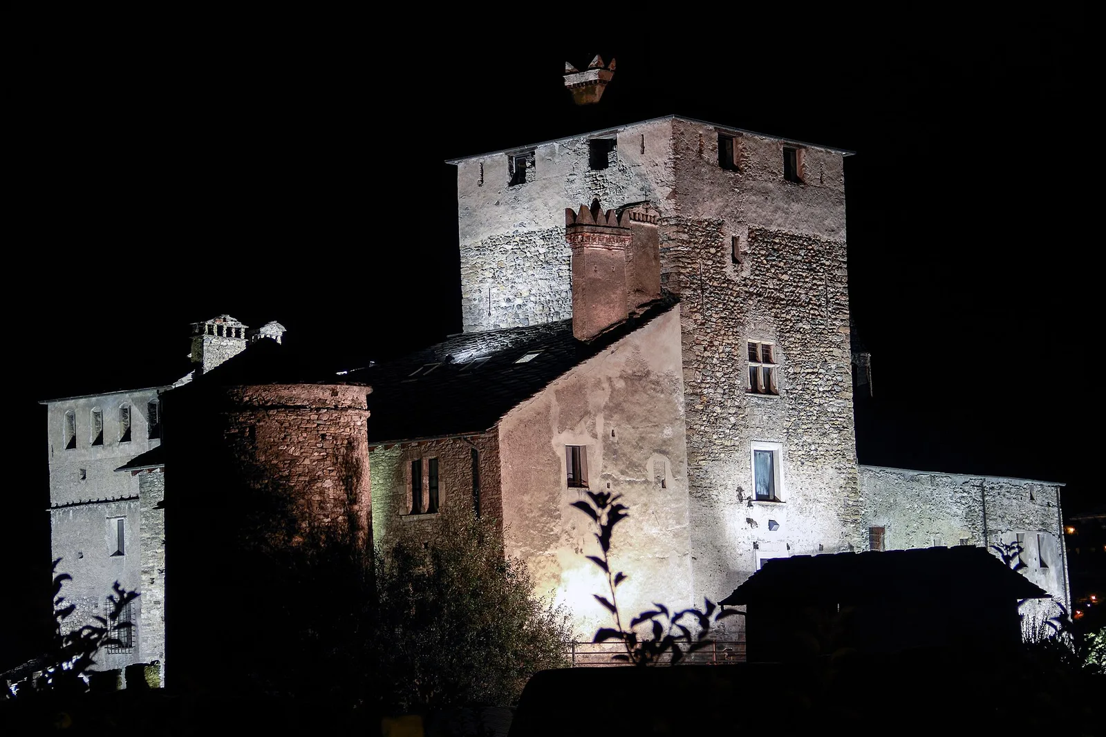
Anello del Verrand
2.6 km · +233 m · E — from Château Verrand to Château Verrand (Rhêmes Valley).
2.6 km+233 m1 h
Where to spot
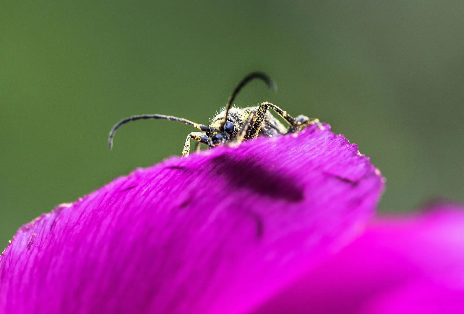
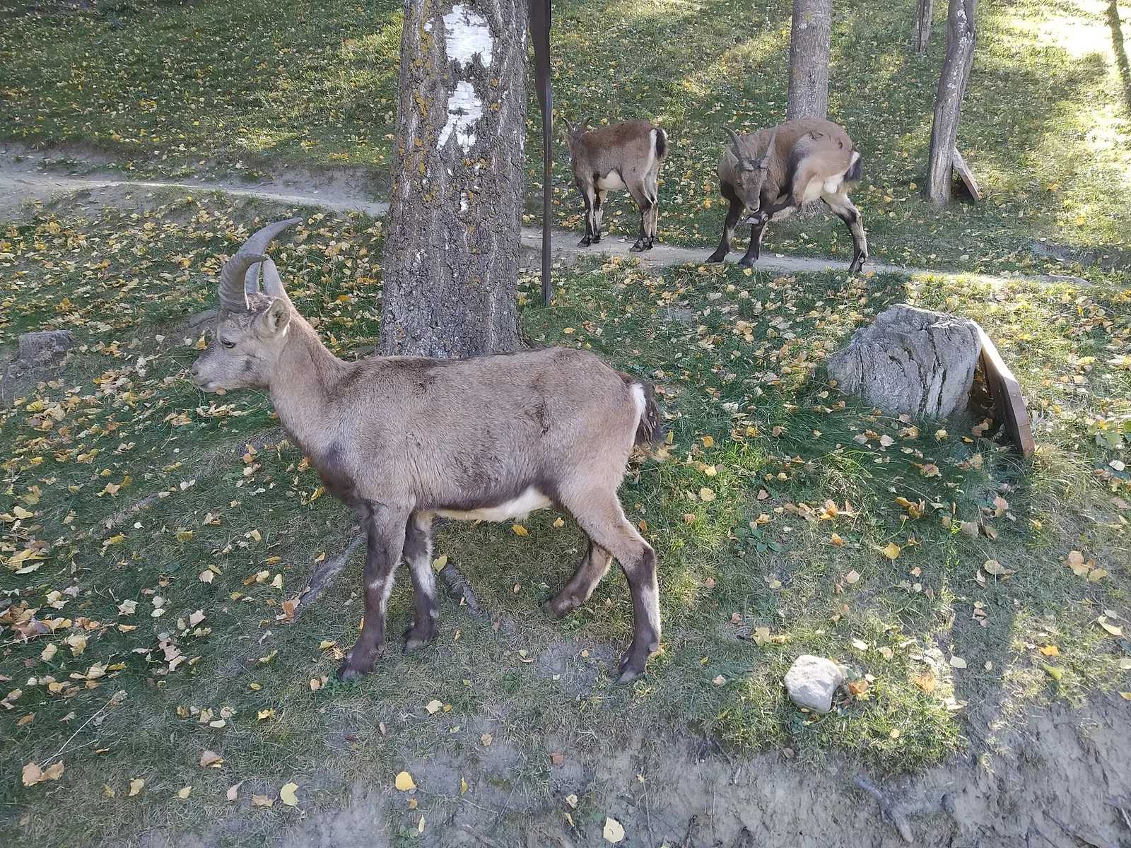
70 trails where Silver fir is listed in flora/fauna: difficulty T–EE, elevation gain 0–1731 m.
70 · 0.1–16.8 km · +0–1731 m
Val di Rhêmes
2.6 km · +233 m · E — from Château Verrand to Château Verrand (Rhêmes Valley).
Val d'Ayas
An easy T-rated stroll from Arcésaz to Brusson along irrigation canals and mid-slope paths in the Val d'Ayas: 3.6 km, no difficulty, suitable for families and all levels.
Valle del Gran San Bernardo
4.4 km · +768 m · E — from Arpnouva to Col du Grand Ferret (Great St Bernard Valley).

Valle di Champorcher
1.2 km · +287 m · E — from Balmeto to Leck Albezò (Champorcher Valley).
Valle centrale
0.1 km · +840 m · E — from Bedeugaz to Plau (Central Valley).
Valdigne
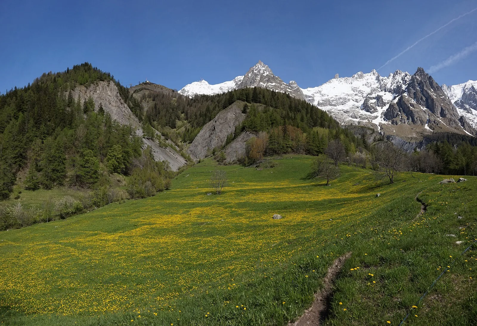
From Jovençan track junction (1855 m) to the glacial Lacs de Dziule (2553 m) in upper Valdigne: 5.8 km, +702 m. Open cirque scenery. E.
Valle centrale
From Blanchard, the long EE route climbs the Vallone delle Cime Bianche to the Colle Inferiore at 2892 m, the pass between Val d'Ayas and Valtournenche.
Valle centrale
From Blanchard (1731m) to Rifugio Mezzalama (3009m): 7.5 km E to the Castore glacier. Historic mountaineering hut in the upper Val d'Ayas.
Valle centrale
2.4 km · +471 m · E — from Cappella Sant'Erasmo to Reserve Naturelle de Holay (Central Valley).
Valle centrale
4.3 km · +915 m · E — from Chamois to Col Pillonnet (Central Valley).
Valle centrale
4.2 km · +243 m · E — from Chavonne to Pondel (Aymavilles) (Central Valley).
Valsavarenche
2.7 km · +441 m · E — from Crétaz to Capoluogo (Valsavarenche).
Valle di Champorcher
4.8 km · +708 m · E — from Fournier to Mandaz (Champorcher Valley).
Valle del Gran San Bernardo
12.7 km · +1360 m · E — from Druges to Col Lavodilec (Great St Bernard Valley).
Valle del Lys
6 km · +1339 m · E — from Epinel to Col Garin (Lys Valley).
Valle del Gran San Bernardo
0.7 km · +133 m · E — from Erésaz to Borna da Ghiasa (Great St Bernard Valley).
Valle del Gran San Bernardo
0.9 km · +120 m · E — from Erésaz to Ravet (Great St Bernard Valley).
Valle centrale
4.6 km · +1164 m · E — from Etroubles to Grande Tête (Central Valley).
Valle centrale
6.3 km · +1311 m · E — from Fey to Colle Prial (Central Valley).
Valle centrale
From Frachey (1620 m) to Col du Rothorn (2692 m): 5.7 km, +1094 m, exposed sections. Pass linking Val d'Ayas to Valle centrale. Expert hikers only. EE.
Val d'Ayas
In the commune of Brusson, Val d'Ayas: an E-rated route among hamlets and pastures with characteristic valley views.
Valsavarenche
4.2 km · +1074 m · E — from La Clévaz to Plan Fiou (Valsavarenche).
Val di Cogne
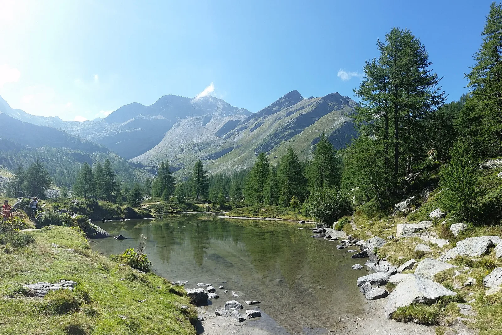
From La Nouva (1,300 m) through the Nomenon alp to Bivacco Gontier (2,302 m) in the Gran Paradiso National Park: 6.7 km, 1,020 m ascent.
Valle del Gran San Bernardo
3.1 km · +774 m · E — from La Palud to Pavillon (Great St Bernard Valley).
Valle centrale
5.7 km · +637 m · E — from Col Saint-Charles to lago di Pietra Rossa (Central Valley).
Valgrisenche
In the Valgrisenche, Arvier: a steady E-rated climb through forest and meadows toward upper pastures.
Valtournenche
1.3 km · +310 m · E — from Lies to tornante S.R. (Valtournenche).
Valle del Lys
10.7 km · +1057 m · E — from Lillaz to Laghi Miserini (Lys Valley).
Valtournenche
8.8 km · +1603 m · E — from Monteil to Lac Liet (Valtournenche).
Val d'Ayas
2 km · +282 m · E — from Nabian to Barmata (Ayas Valley).
Valpelline
4.3 km · +591 m · E — from Nus to Blavy (Valpelline).
Val d'Ayas
2.3 km · +160 m · E — from Orbeillaz to Pian Abelly (Ayas Valley).
Valle del Lys
5.5 km · +642 m · E — from Orsia to Rifugi Gabiet (Lys Valley).
Valtournenche
3.1 km · +639 m · E — from Outrefer to Pourcil (Valtournenche).
Valle del Lys
3 km · +0 m · E — from Tornante quota 1309 to Thoules (Lys Valley).
Val di Rhêmes
1.7 km · +169 m · E — from Palleusieux to Verrand (Rhêmes Valley).
Valle centrale
7.2 km · +1422 m · EE — from Paquier to Becca d'Aran (Central Valley).
Valle centrale
9 km · +1334 m · EE — from Perrères to Col de Valcournera (Central Valley).
Valle del Lys
4.2 km · +778 m · E — from Perron to Cretes (Lys Valley).
Valle centrale
4.3 km · +562 m · E — from Petit-Buthier to Alpe Ars (Central Valley).
Valtournenche
2.6 km · +507 m · EE — from Petit-Rosier to Col d'Arcomy (Valtournenche).
Valtournenche
4.7 km · +579 m · T — from Piazza E.Chanoux to Carogne (Valtournenche).
Valtournenche
3.4 km · +733 m · E — from Pompiod to Montcorvé dessus (Valtournenche).
Valtournenche
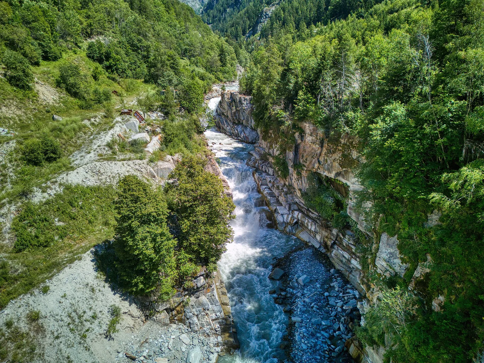
From the Dora Baltea bridge (500 m) to Verthuy (1058 m) above Châtillon: 568 m in 3.6 km. Quick transition from valley floor to terraced meadows.
Valtournenche
1.5 km · +190 m · T — from Ponte Romano to Moron (Valtournenche).
Val di Rhêmes
4.4 km · +0 m · E — from Pré-Saint-Didier to Morgex (Rhêmes Valley).
Valle del Gran San Bernardo
2.2 km · +0 m · E — from Prenoud to Ponte Artanavaz (Great St Bernard Valley).
Val d'Ayas
From Quinçod (1030m) to Colle Chasten (2549m) via Merendiou: 8.6 km EE with 1708 m of ascent, crossing all altitude bands of the Val d'Ayas.

Val d'Ayas
6.6 km · +1335 m · E — from Quinçod to Merendiou (Ayas Valley).
Valle di Champorcher
5.1 km · +1333 m · EE — from Rong to Passo dell'Alpetto (Champorcher Valley).
Valle del Gran San Bernardo
5.8 km · +1311 m · E — from Saint-Oyen to Col Barasson Oriental (Great St Bernard Valley).
Valle del Gran San Bernardo
5.7 km · +1091 m · E — from Saint-Oyen to Mont Paglietta (Great St Bernard Valley).
Valle di Champorcher
13.1 km · +0 m · E — from Baite di David to Lysbalma (Champorcher Valley).
Valle del Lys
8.6 km · +1731 m · EE — from Staffal to Rifugio Mantova (Lys Valley).
Valtournenche
0.8 km · +258 m · EE — from Strada Dondena to Col Terre Rousse (Valtournenche).
Valle del Lys
16.4 km · +0 m · E — from Rifugio Deffeyes to Planaval (Lys Valley).
Valtournenche
15 km · +0 m · E — from Capoluogo to Crest (Valtournenche).
Valle centrale
11.8 km · +0 m · E — from Villeneuve to Aymavilles (Central Valley).
Valtournenche
16.8 km · +808 m · E — from Verrès to Pontboset (Valtournenche).
Valsavarenche
9 km · +400 m · E — from Chiesa di Diemoz to Châtillon (Valsavarenche).
Valtournenche
3.3 km · +597 m · E — from Terme to Banqueun (Valtournenche).
Valle del Gran San Bernardo
5.5 km · +1129 m · E — from Thumel to Col Rosset (Great St Bernard Valley).
Val di Cogne
In the Val di Cogne, Aymavilles: an E-rated climb through forest and alpine pastures in the Gran Paradiso National Park.
Valle centrale
7 km · +702 m · E — from Plau to Plau (Central Valley).
Valtournenche
4.1 km · +598 m · E — from Capoluogo to Billiouque (Valtournenche).
Valtournenche
3.3 km · +419 m · E — from Valpelline capoluogo to Capoluogo (Valtournenche).
Val d'Ayas
3.3 km · +600 m · E — from Ponti Romani to Tron damon (Ayas Valley).
Valle del Lys
3.3 km · +479 m · E — from Ville to Combes (Lys Valley).
Valle del Gran San Bernardo
1 km · +254 m · E — from Yair desor to Mouleret (Great St Bernard Valley).
Val d'Ayas
6.5 km · +1391 m · E — from Zengji to Colle del Lupo (Ayas Valley).