
T
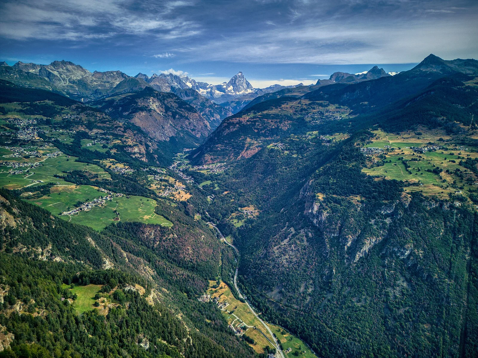
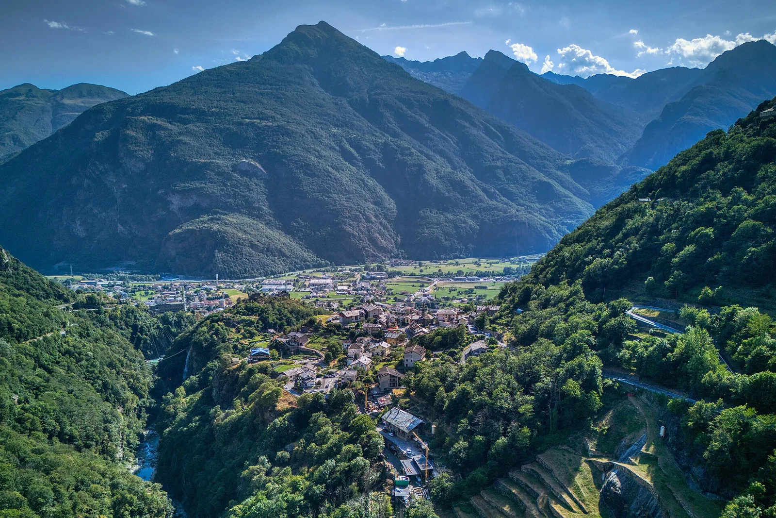
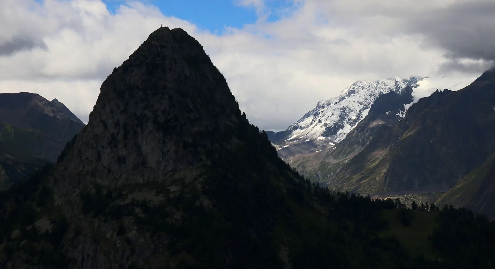
Valtournenche
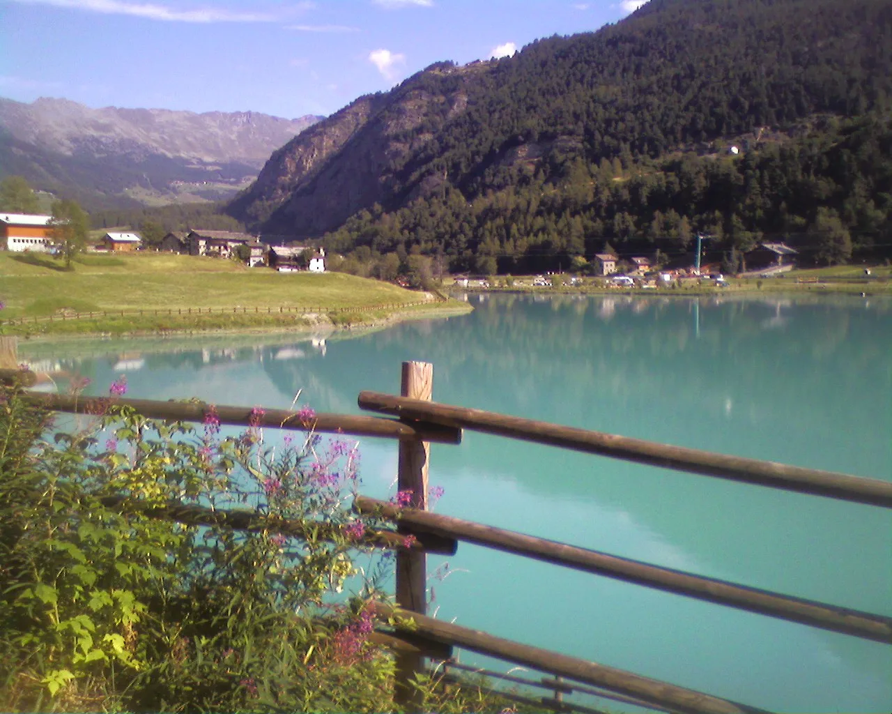
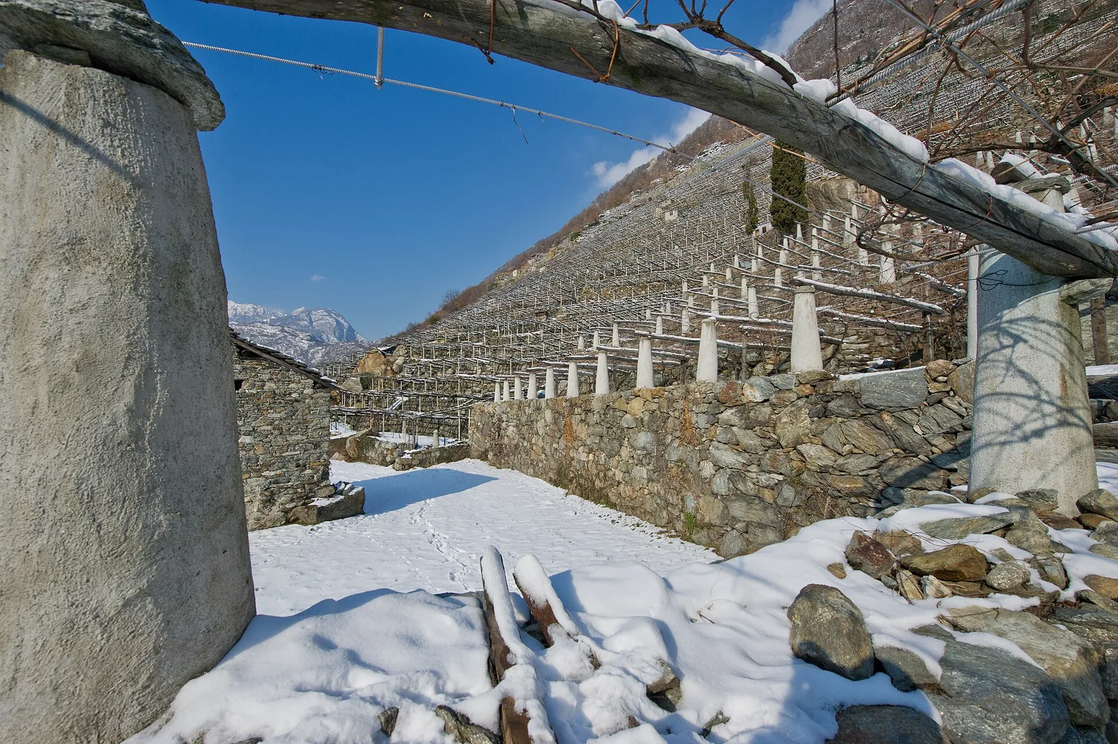
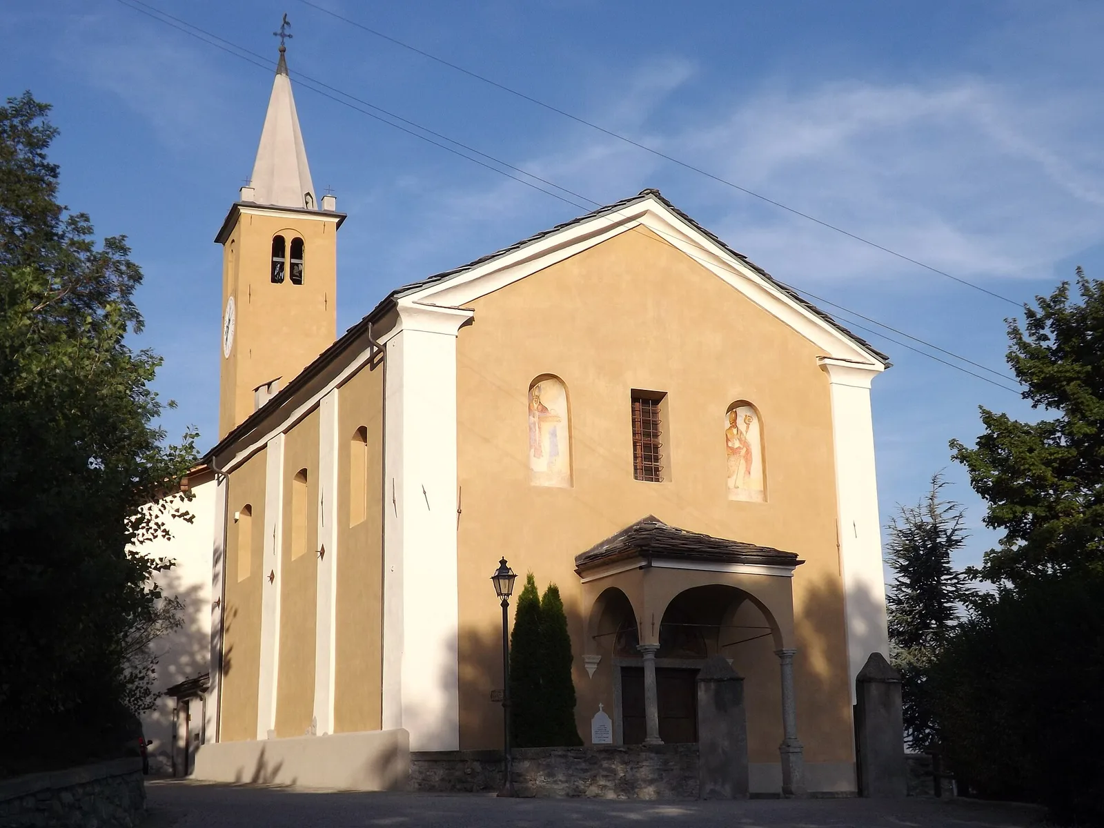
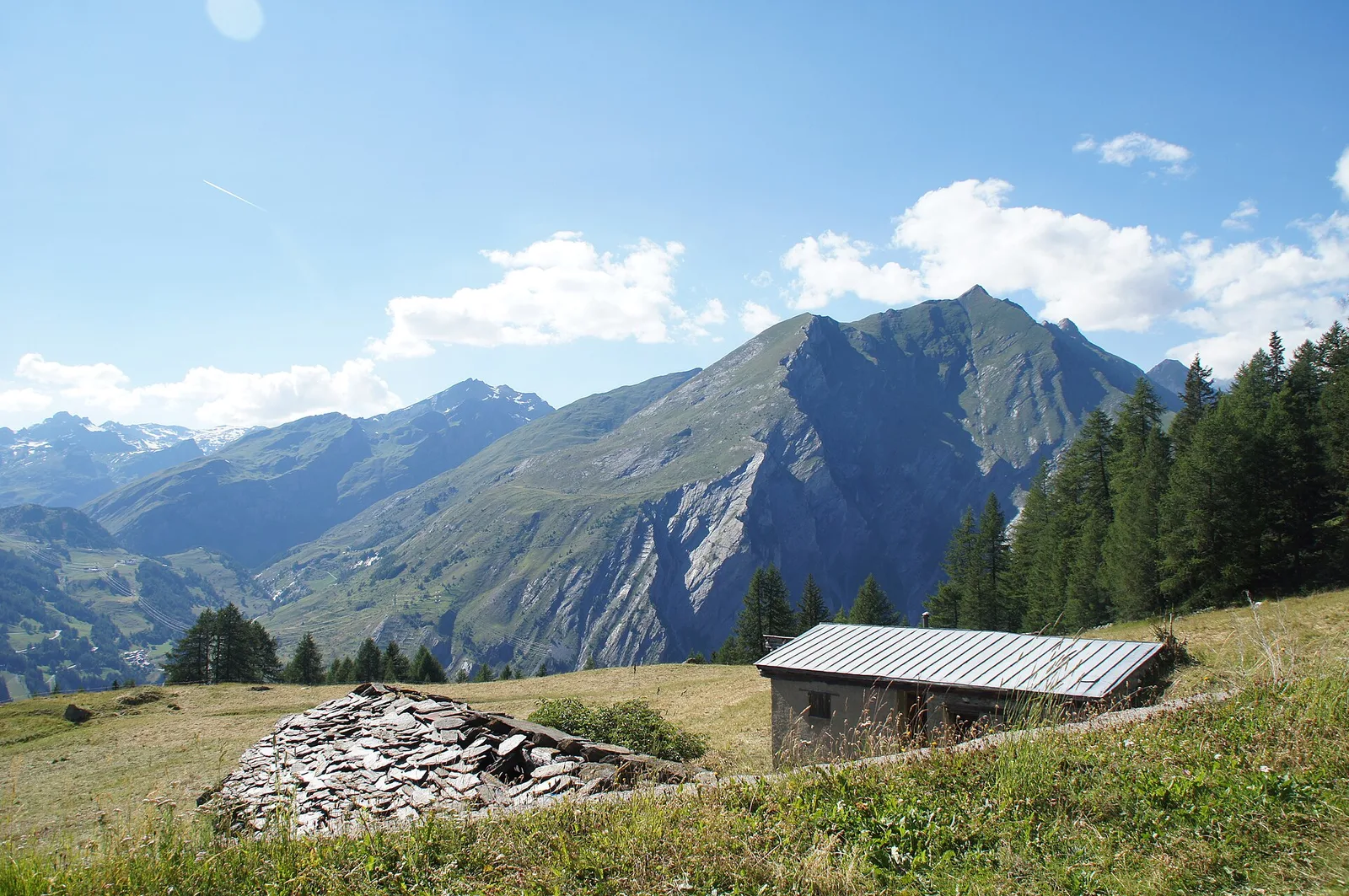
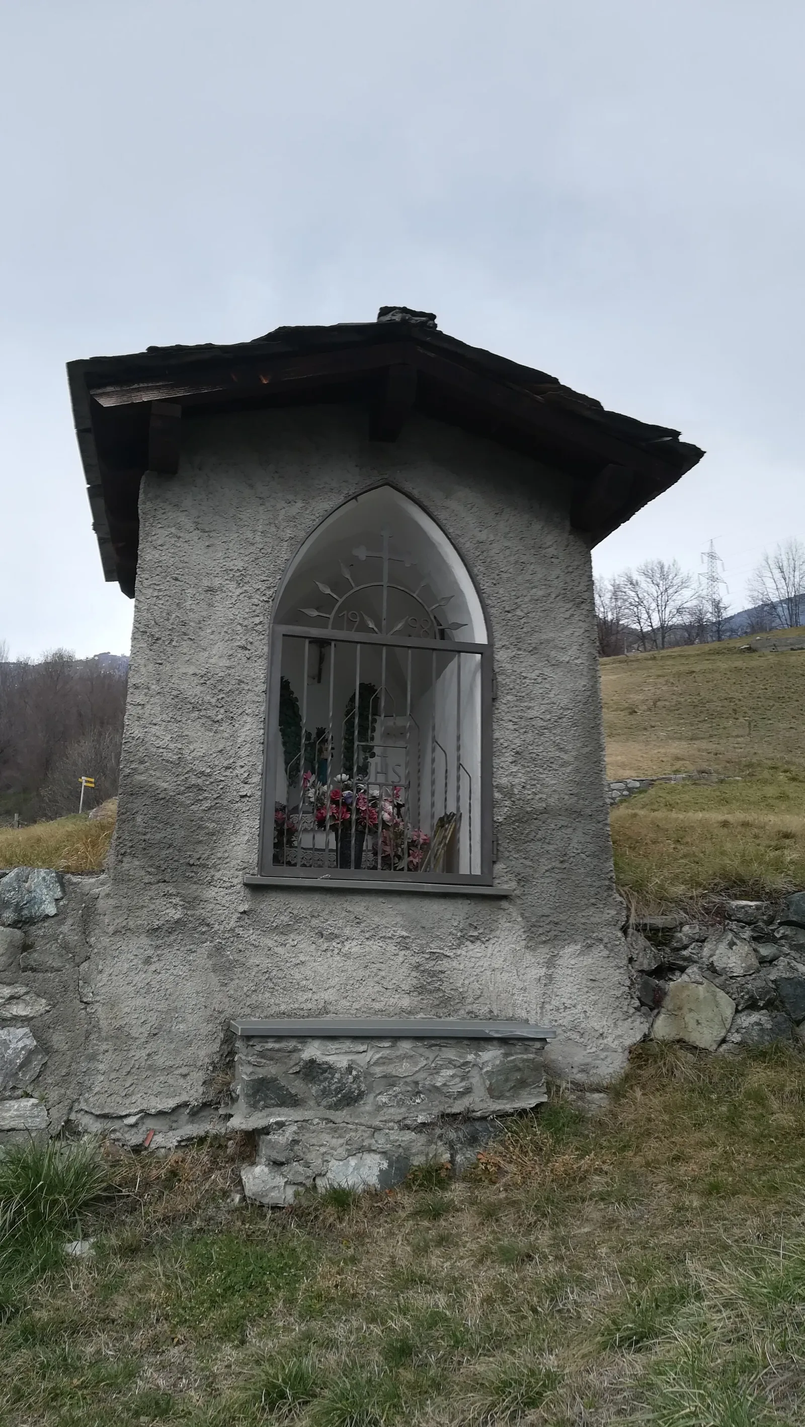
Anello Area sportiva-Fiernaz-Area sportiva
2.9 km · +28 m · T — from Area sportiva to Area sportiva (Valtournenche).
2.9 km+28 m1 h
Where to spot
58 trails where Roe deer is listed in flora/fauna: difficulty T–EEA, elevation gain 0–1731 m.
58 · 0.2–17.4 km · +0–1731 m
Valtournenche
2.9 km · +28 m · T — from Area sportiva to Area sportiva (Valtournenche).

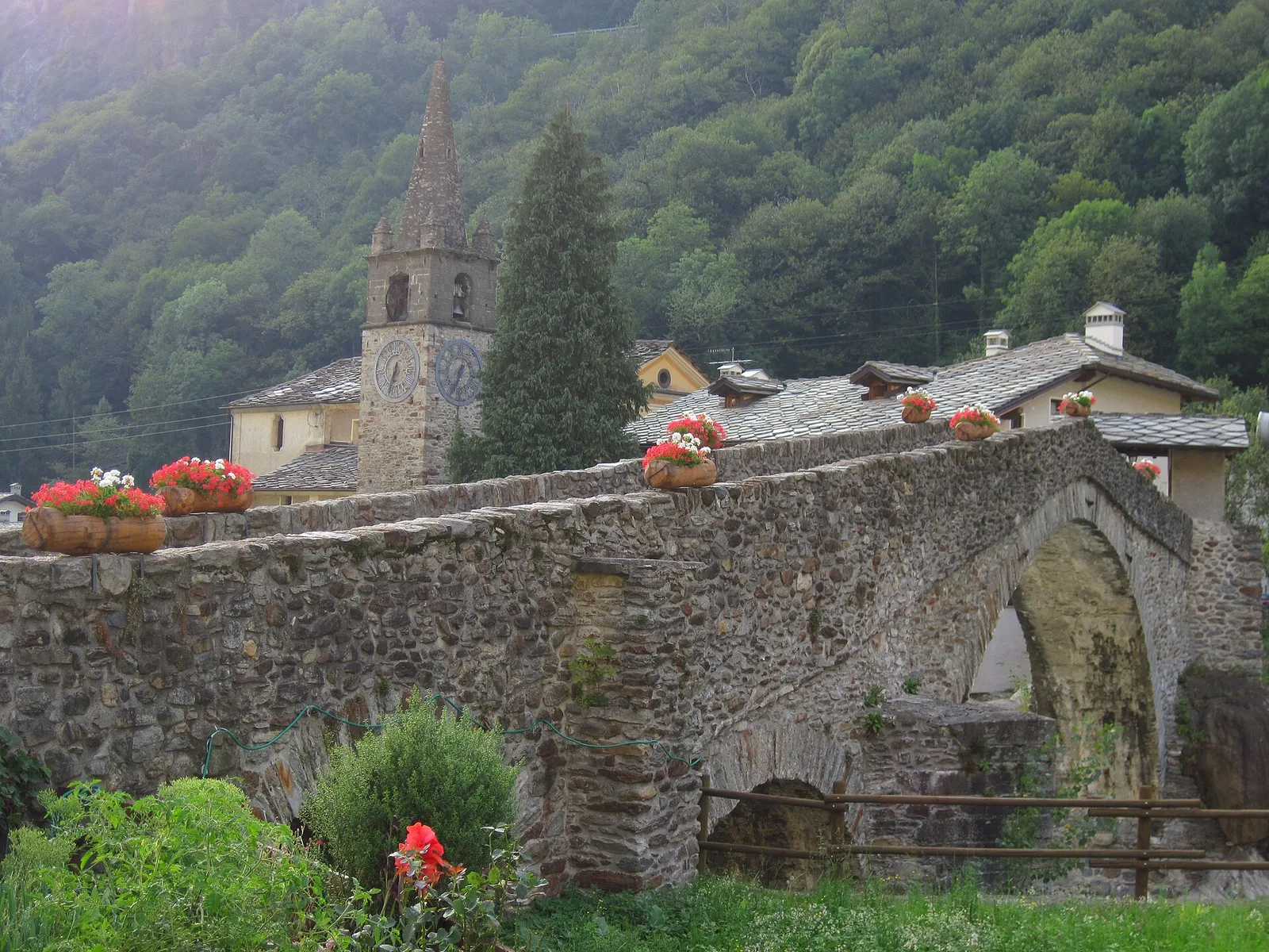
Valle del Gran San Bernardo
8.9 km · +996 m · EEA — from Niel to Niel (Great St Bernard Valley).

Val di Rhêmes
2.6 km · +233 m · E — from Château Verrand to Château Verrand (Rhêmes Valley).
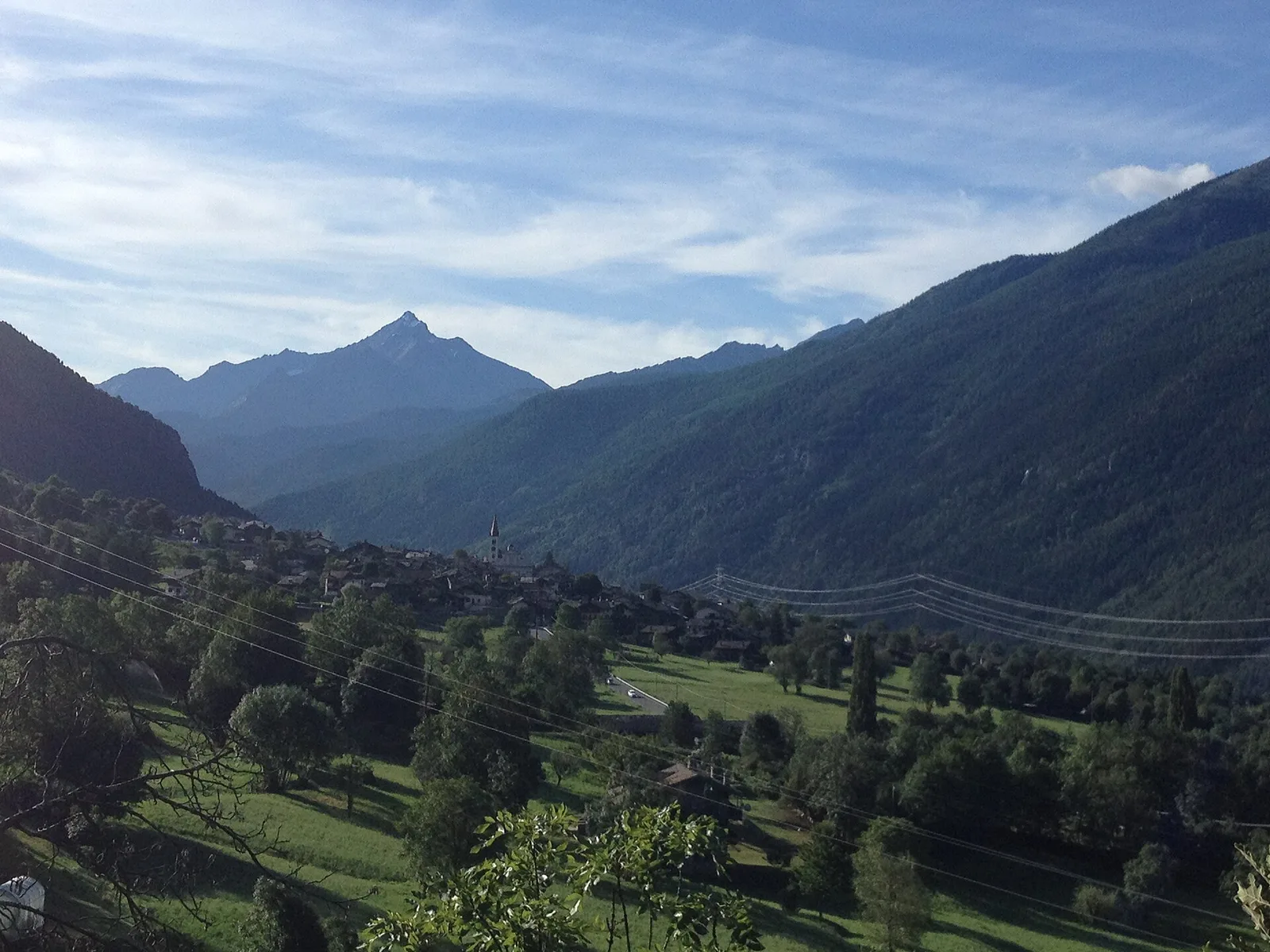
Val d'Ayas
An easy T-rated stroll from Arcésaz to Brusson along irrigation canals and mid-slope paths in the Val d'Ayas: 3.6 km, no difficulty, suitable for families and all levels.

Valle centrale
4.1 km · +476 m · E — from Area giochi Croux to Parleyaz (Central Valley).
Valdigne
2.6 km · +491 m · E — from Avise to Charbonnière (Valdigne).
Valdigne
In the Valdigne, La Salle: an E-rated route through forest and pasture with views of Mont Blanc.
Valdigne
From Avise to Cerellaz via Ravoire on the sunny Valdigne hillside: 3 km and 479 m through vineyards, woodland and meadows. Part of the Via Alpina.
Valdigne
2.8 km · +431 m · E — from Avise to St-Nicolas (Valdigne).
Valle centrale
2.5 km · +390 m · E — from Bachaud to Rumiod la Chapelle (Remiod) (Central Valley).
Valle centrale
2.9 km · +495 m · E — from Barmaz to Santuario Clavalité (Central Valley).
Valtournenche
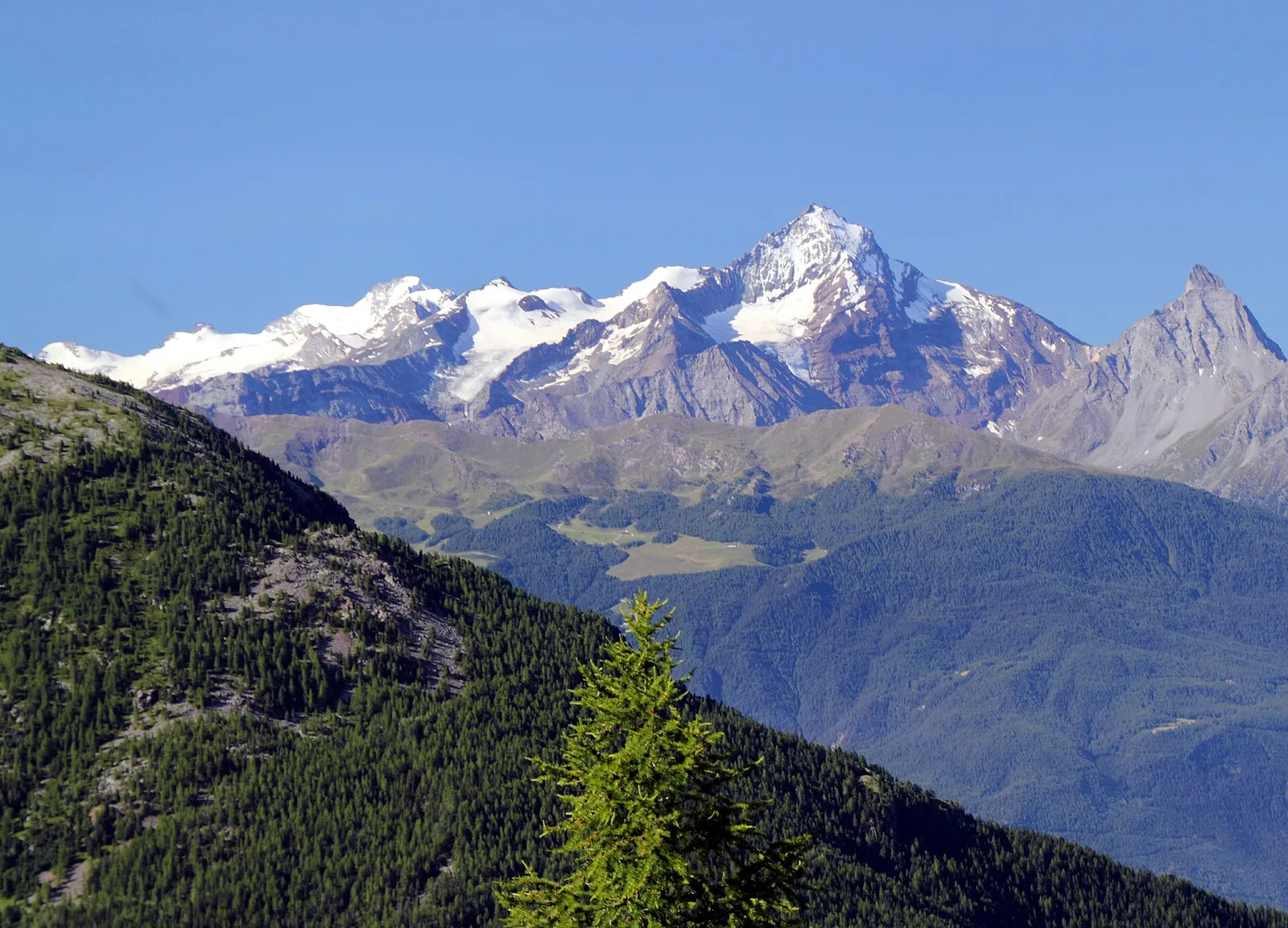
A long traverse through Valtournenche from the vineyards of Bourg (1,078 m) to the pastures of Maen (1,991 m), with views toward the Matterhorn.
Valtournenche
6.1 km · +965 m · E — from Bourg to Verale (Valtournenche).
Valle centrale
6.6 km · +0 m · EE — from Capiron to Gettaz (Central Valley).
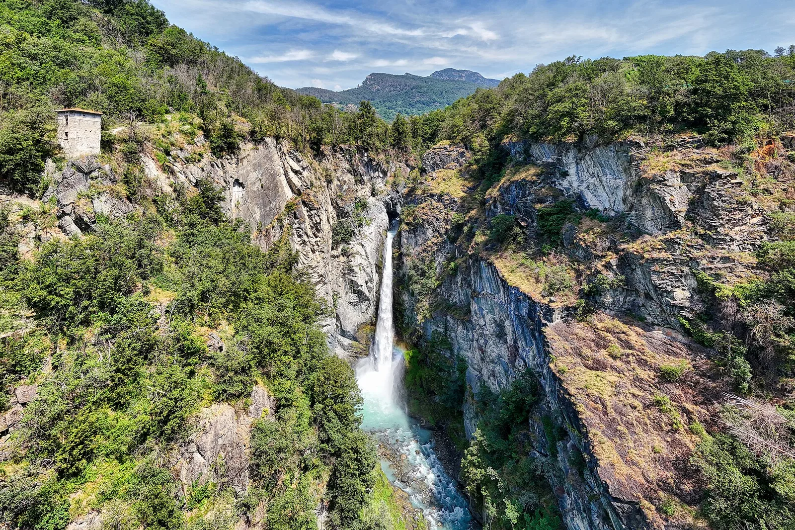
Valle del Gran San Bernardo
0.6 km · +80 m · E — from Start 7B to Cascate di Niel (Great St Bernard Valley).
Valle centrale
4 km · +720 m · E — from Chambave to Del (Central Valley).
Valle del Lys
1.8 km · +219 m · E — from Cossèi to Belvedere Tsan (Lys Valley).
Val di Rhêmes
10.2 km · +1275 m · E — from Fonteil to Grand Pays (Rhêmes Valley).
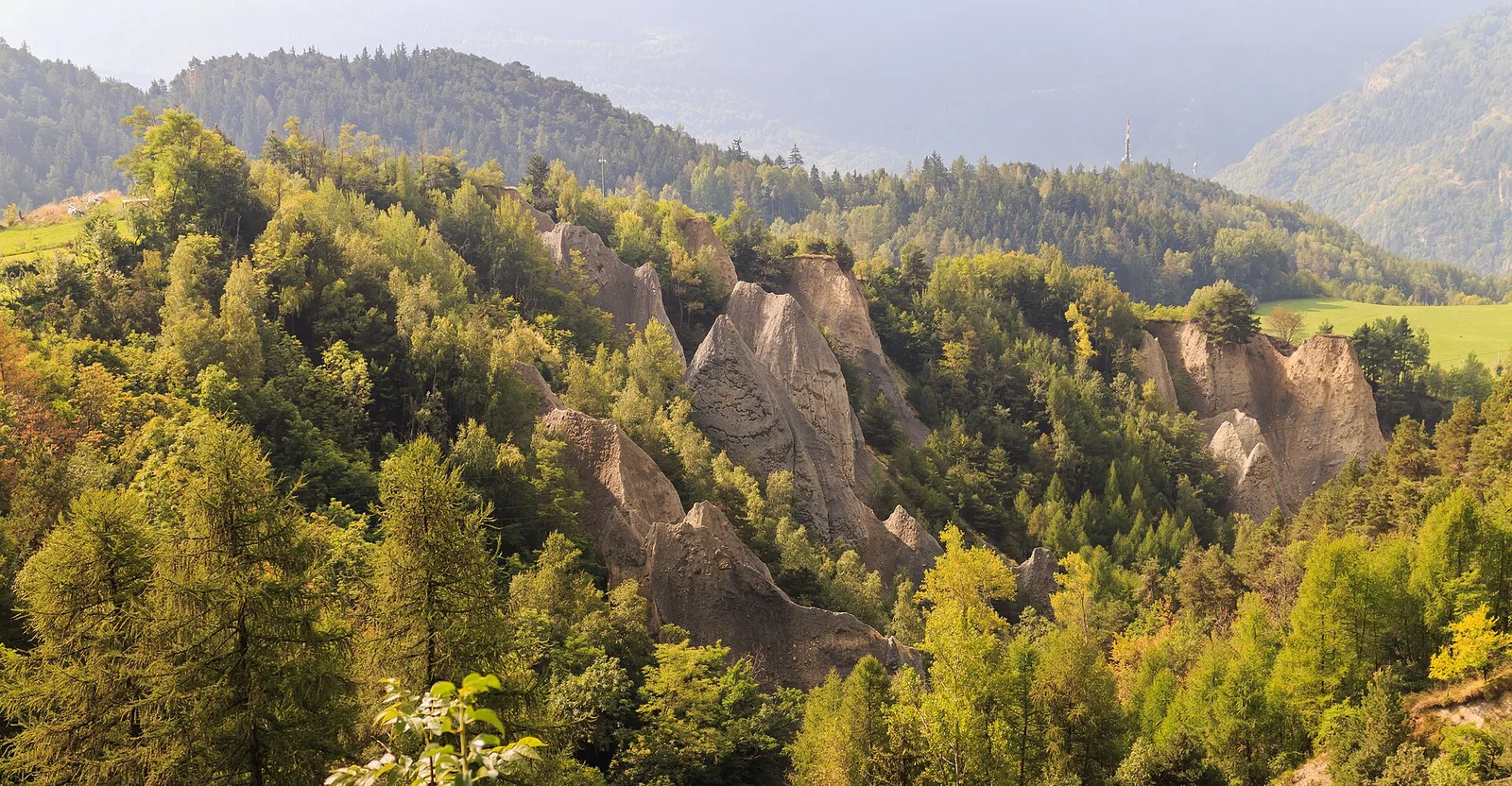
Valle centrale
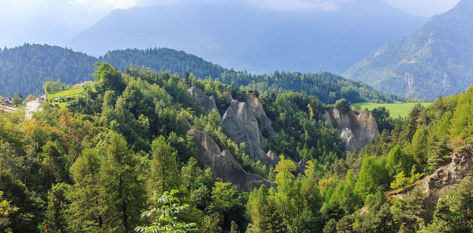
0.2 km · +0 m · E — from Tornante presso Fossaz to Zona Calanchi (Central Valley).
Valle del Lys
6.1 km · +1004 m · E — from Gimillan to Col Tsasèche (Lys Valley).
Valtournenche
3.5 km · +623 m · E — from Gouilles to Del (Valtournenche).
Valle del Lys
6.1 km · +889 m · E — from Joux to Rifugio Deffeyes (Lys Valley).
Valle centrale
4.8 km · +1248 m · E — from Le Miriou to Punta Prial (Central Valley).
Valgrisenche
From the Valgrisenche valley floor at Leverogne (721 m) to the hilltop village of Saint-Nicolas (1,203 m): 3.4 km and 499 m of ascent.
Valtournenche
1 km · +245 m · E — from Lies to Bosco di protezione (Valtournenche).
Valle centrale
2.3 km · +592 m · E — from Lillianes to Sainte-Marguerite (Central Valley).
Valle centrale
2.1 km · +261 m · E — from Liveroulaz to Fossaz (Central Valley).
Valle centrale
2.2 km · +263 m · E — from Liveroulaz to Chaillod (Central Valley).
Valle centrale
5.6 km · +793 m · E — from Lo Pian to Covarey (Parcheggio) (Central Valley).
Valtournenche
0.5 km · +135 m · E — from Località Champette to innesto sentiero 6 A (Valtournenche).
Val d'Ayas
3 km · +259 m · E — from Mayn to Curien (Ayas Valley).
Val d'Ayas
2.3 km · +160 m · E — from Orbeillaz to Pian Abelly (Ayas Valley).
Valtournenche
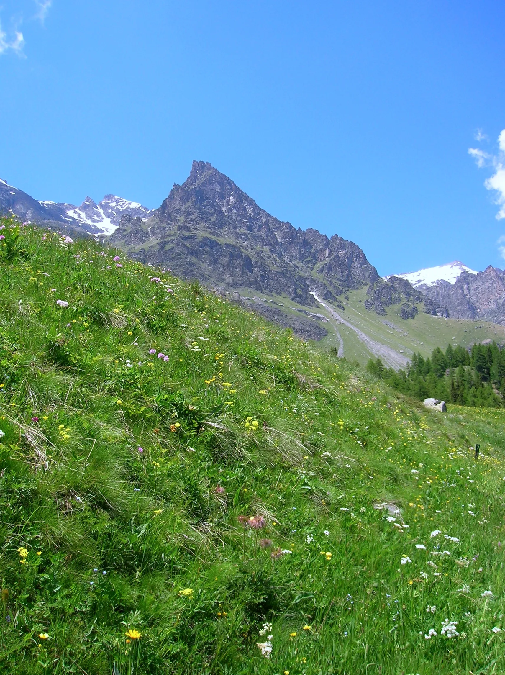
7.3 km · +1319 m · E — from Outre l'Eve to Col de la Fricolla (Valtournenche).
Val di Rhêmes
1.7 km · +169 m · E — from Palleusieux to Verrand (Rhêmes Valley).
Valle centrale
7.2 km · +1422 m · EE — from Paquier to Becca d'Aran (Central Valley).
Val di Rhêmes
1.2 km · +124 m · E — from Petit-Palleussieux to Château Verrand (Rhêmes Valley).
Valle del Lys
4.8 km · +626 m · E — from Petosan to Col de la Croix (Lys Valley).
Val d'Ayas
0.6 km · +266 m · E — from Issime (parco giochi) to Pirubeck (Ayas Valley).
Valgrisenche
2.5 km · +497 m · E — from Pont-Avisod to Ville-Sur-Sarre (Valgrisenche).
Valdigne
4.3 km · +1068 m · E — from Ponte Dora Baltea to Alpe Mont Giron (Valdigne).
Valtournenche
5.5 km · +1218 m · E — from Pramotton to Fontanet (Valtournenche).
Valle centrale
10.4 km · +67 m · E — from Reysod to Etroubles (Central Valley).
Valtournenche
2.6 km · +828 m · E — from Rovarey to Jas Dèsot (Valtournenche).
Valle centrale
3.1 km · +442 m · E — from Saint-Denis to Del (Central Valley).
Valle del Lys
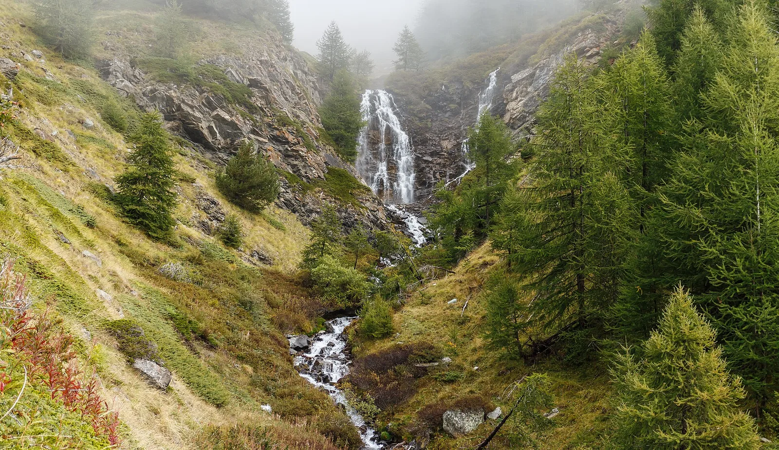
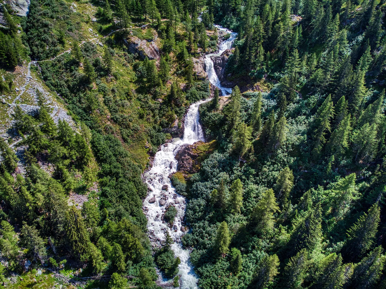
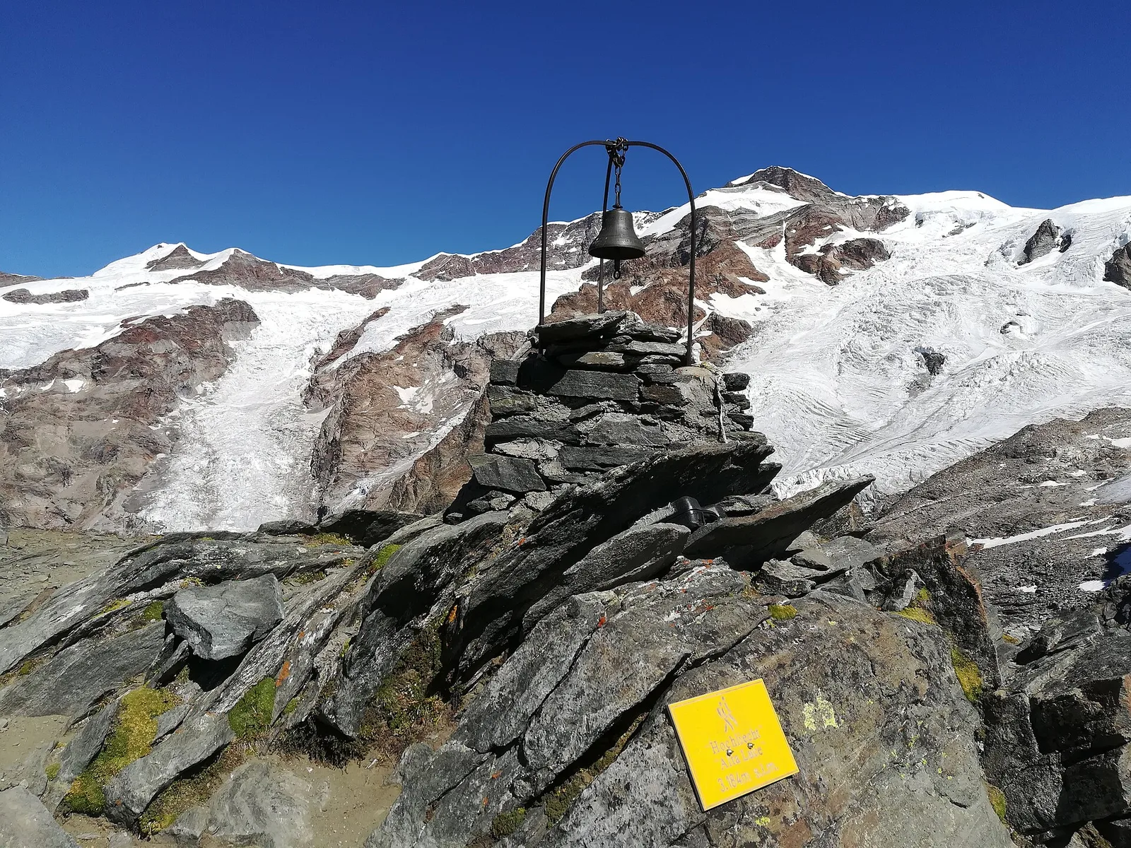
6.4 km · +1355 m · E — from Staffal to Alta Luce (Hochliecht) (Lys Valley).
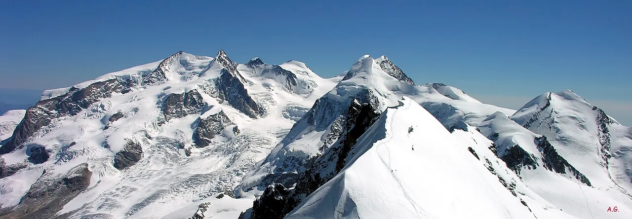
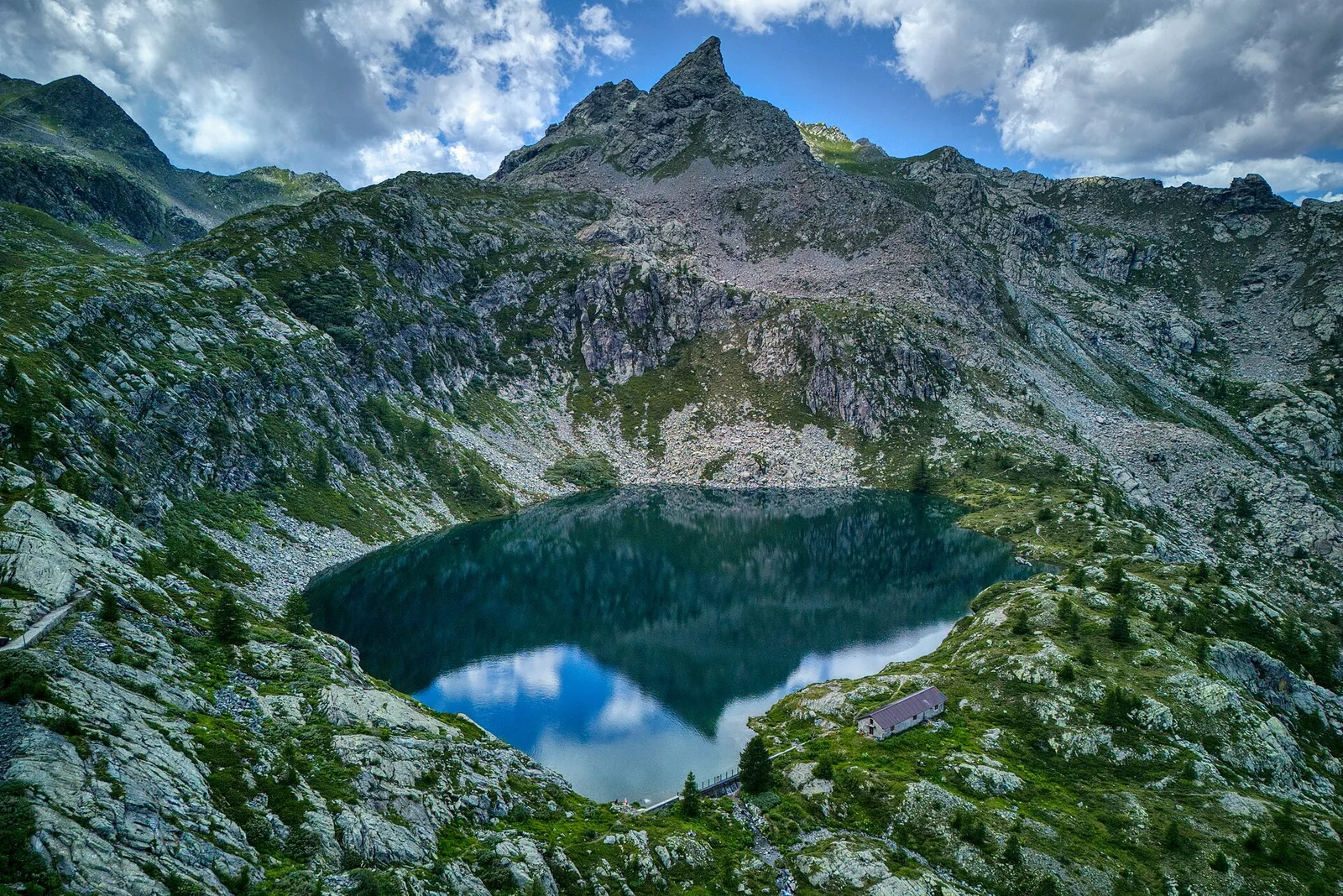
Valle del Lys
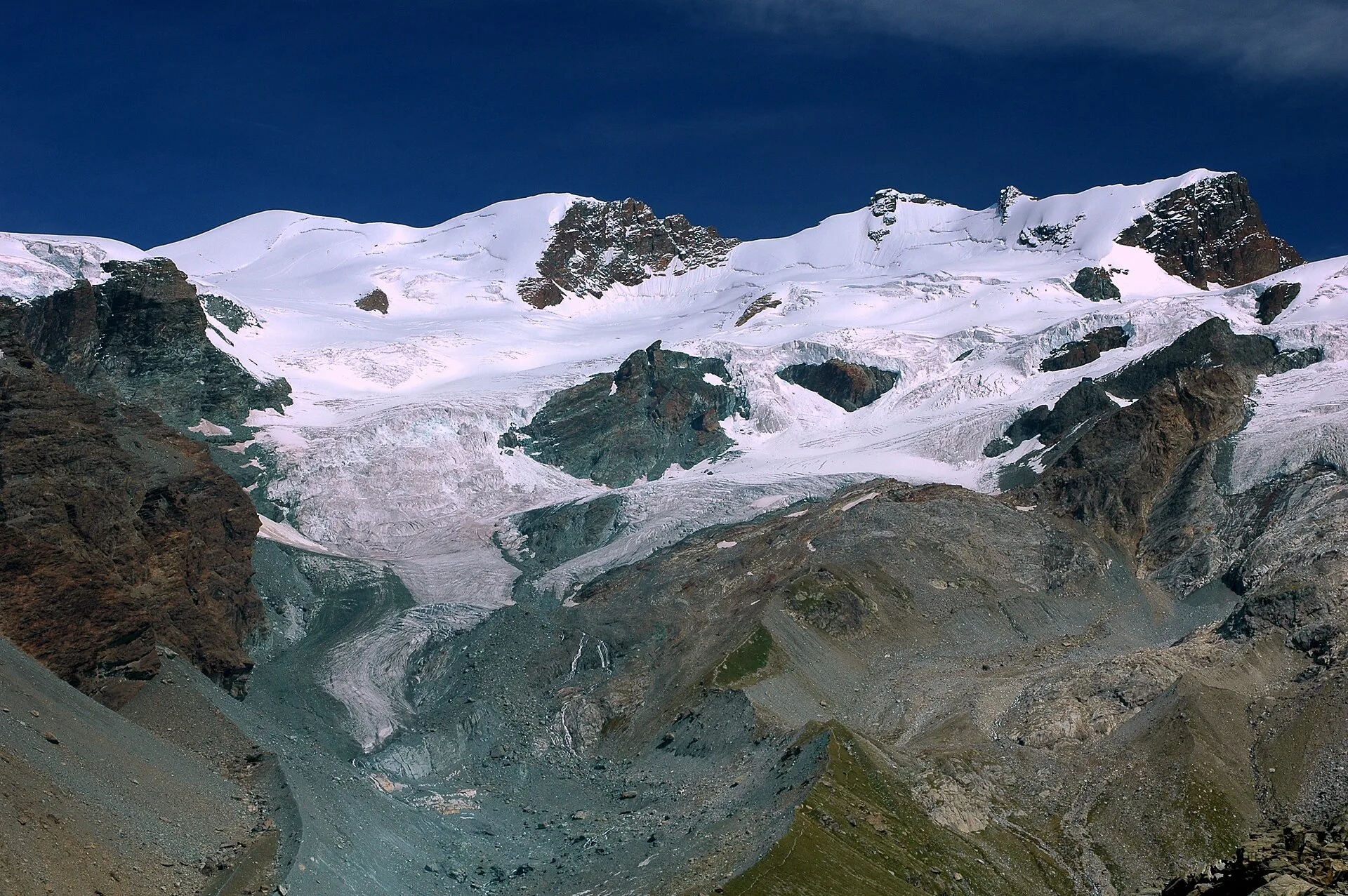
8.6 km · +1731 m · EE — from Staffal to Rifugio Mantova (Lys Valley).
Val d'Ayas
In the commune of Brusson, Val d'Ayas: a mid-altitude route between hamlets and wooded areas of the slope.
Valle centrale
13.8 km · +0 m · E — from Echevennoz to Aosta centro (Central Valley).
Valle del Lys
14.5 km · +451 m · E — from Fénis to Châtillon (Lys Valley).
Valtournenche
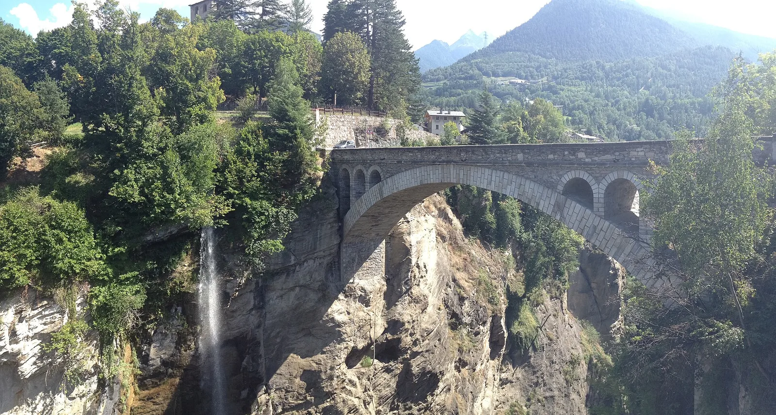
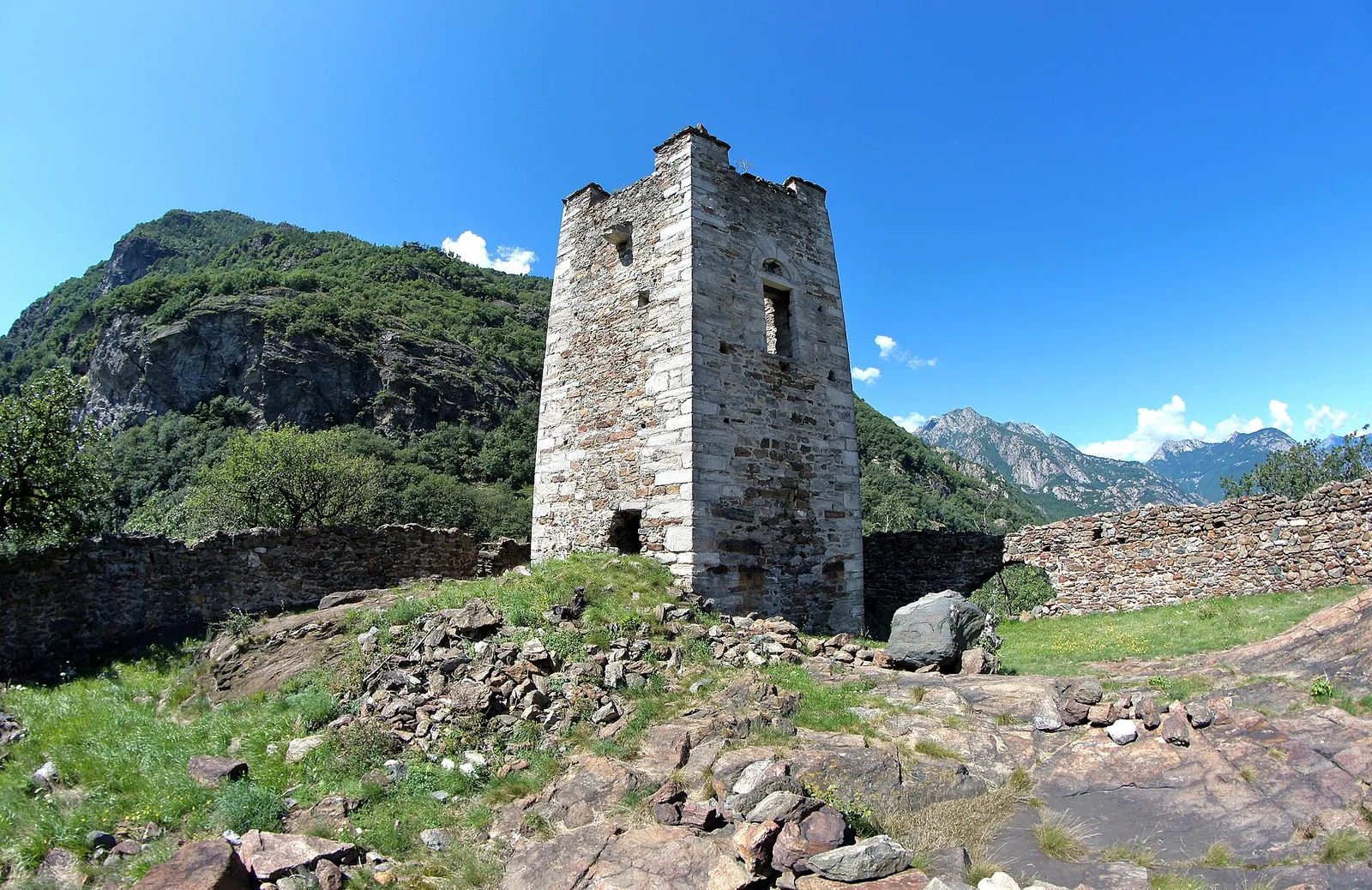
6.3 km · +0 m · E — from Donnas to Pont-Saint-Martin (Valtournenche).
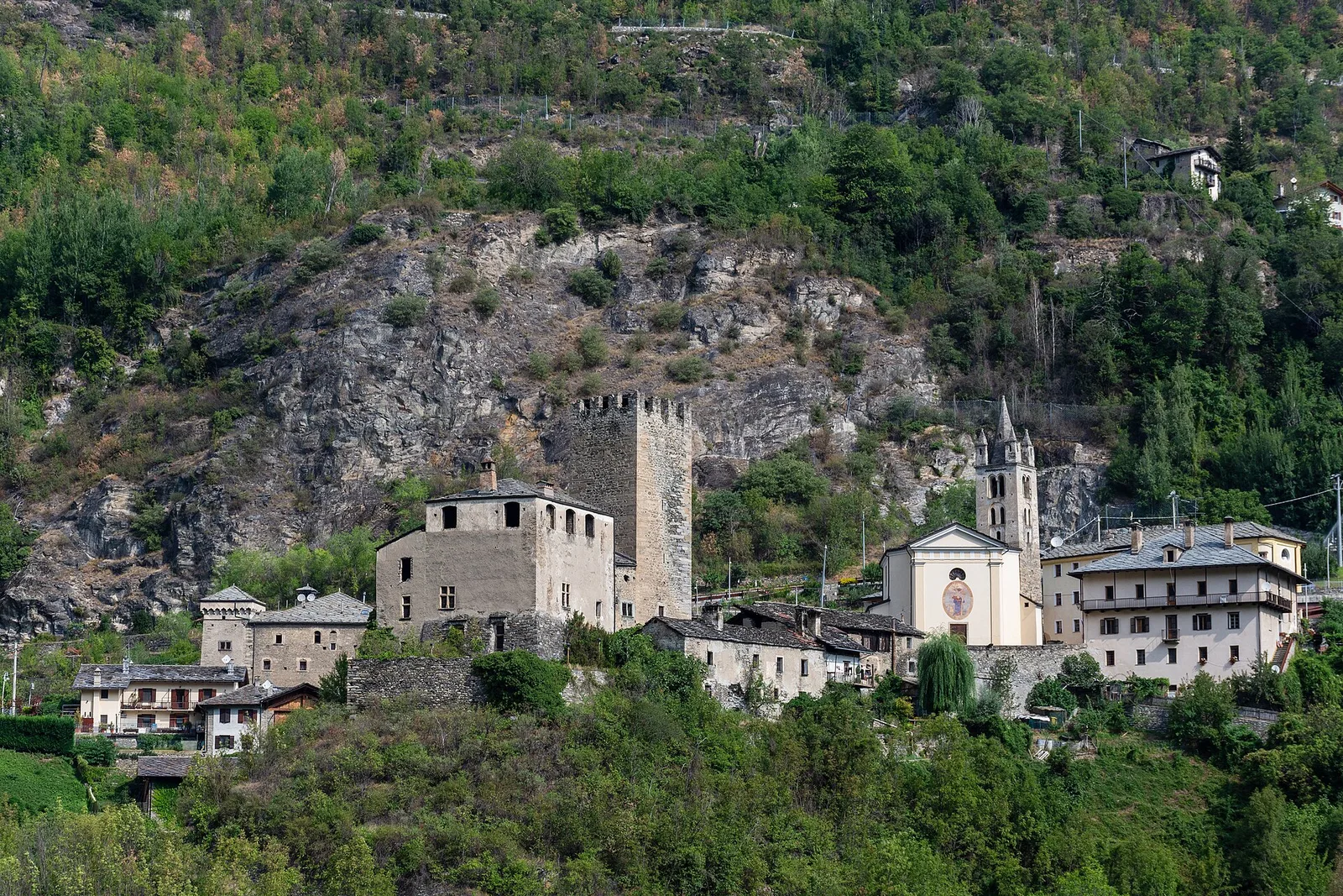
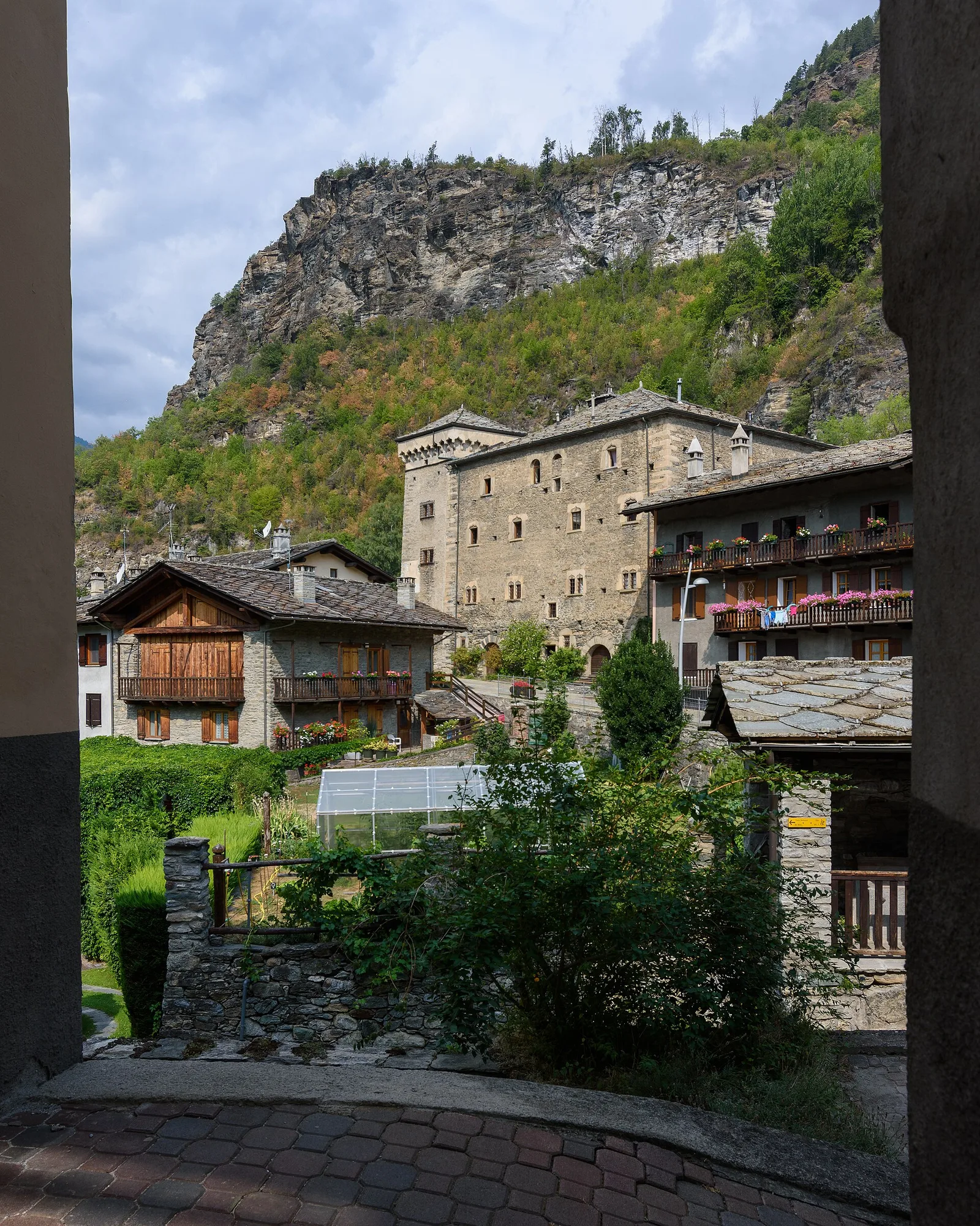
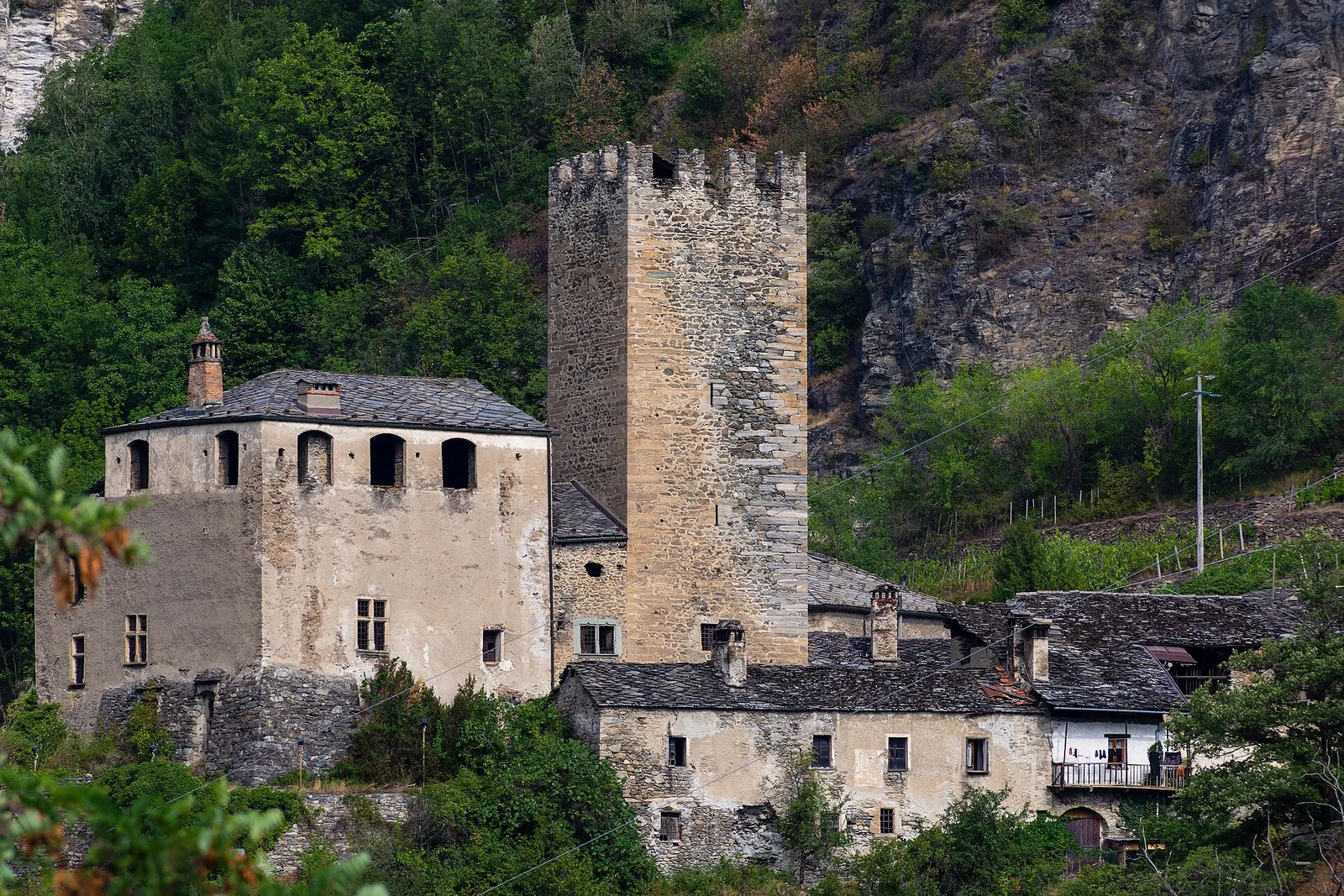
Valtournenche
3.3 km · +597 m · E — from Terme to Banqueun (Valtournenche).
Val di Cogne
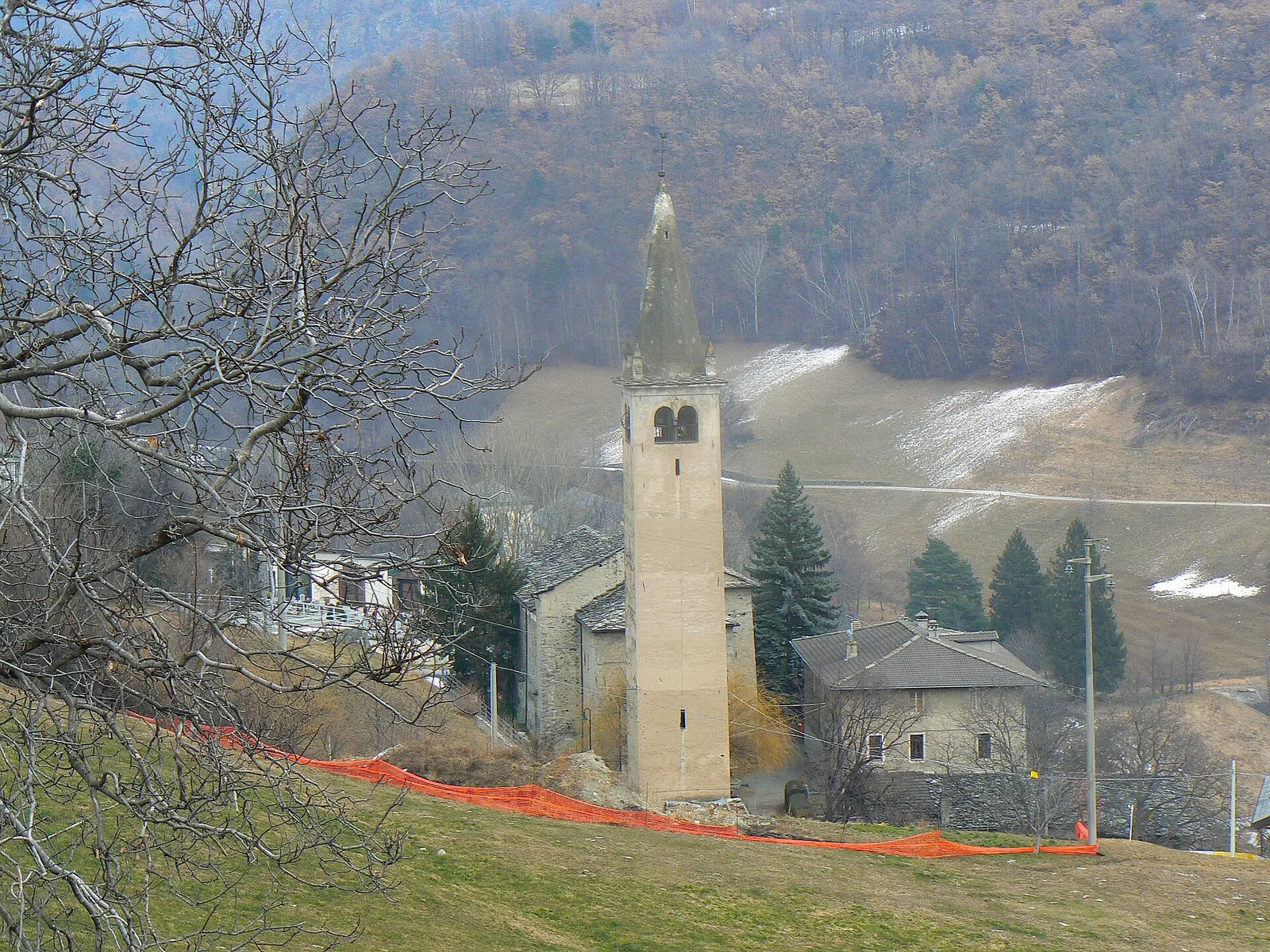
In the Val di Cogne, Aymavilles: an E-rated climb through forest and alpine pastures in the Gran Paradiso National Park.
Valle centrale
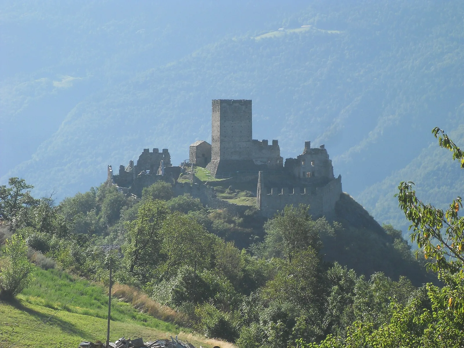
0.8 km · +0 m · E — from Tour d'Hereraz to Perloz (Central Valley).
Valdigne
A short climb in the Valdigne from Vedun, via Châtelet, to the pastures of the Alpe Or de Breuil, above La Salle.
Val d'Ayas
3.3 km · +600 m · E — from Ponti Romani to Tron damon (Ayas Valley).
Valle centrale
2.9 km · +466 m · E — from Veyves to Parleyaz (Central Valley).
Valle del Gran San Bernardo
1.8 km · +249 m · EE — from Villair to Belvedere (Great St Bernard Valley).
Valle centrale
1.4 km · +174 m · E — from Villair to Château de Châtelard (Central Valley).