
E
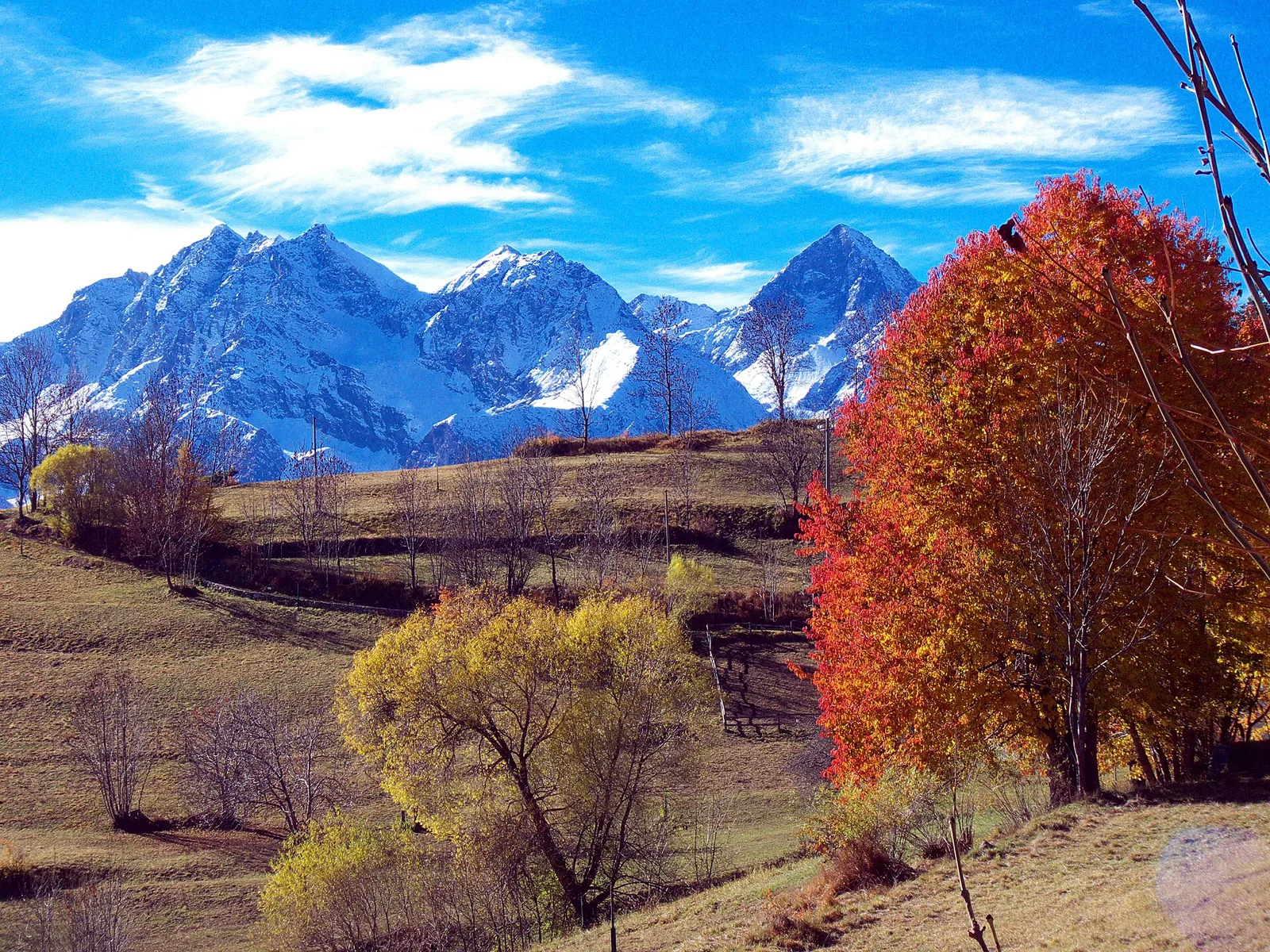
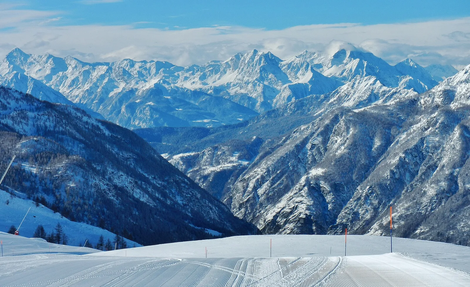
Valle di Champorcher
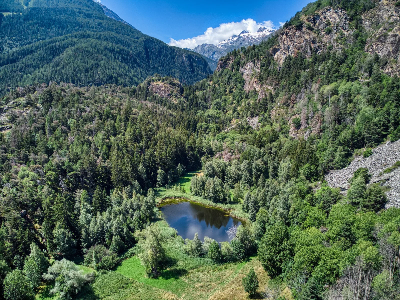
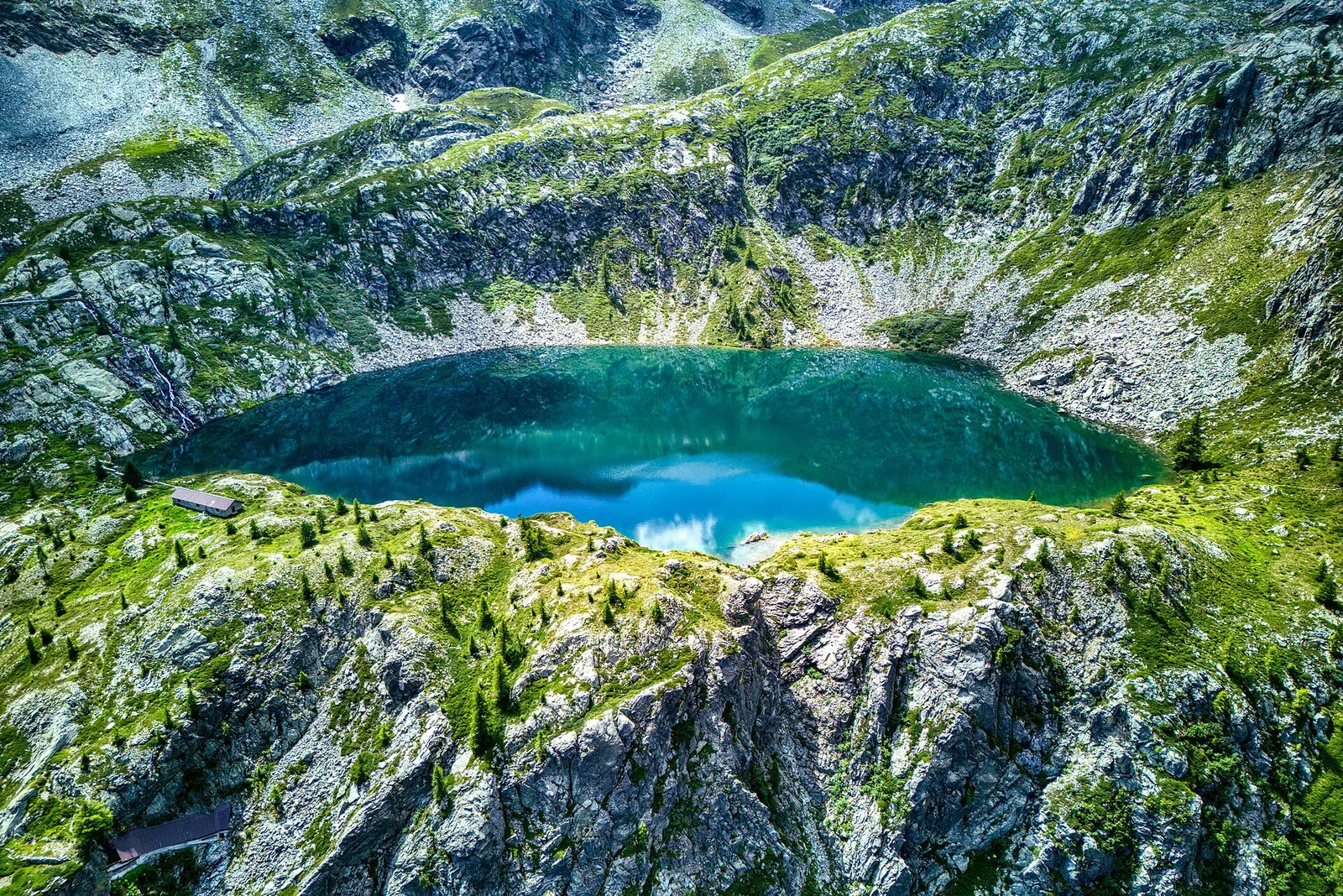
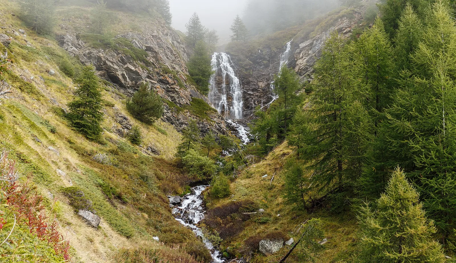
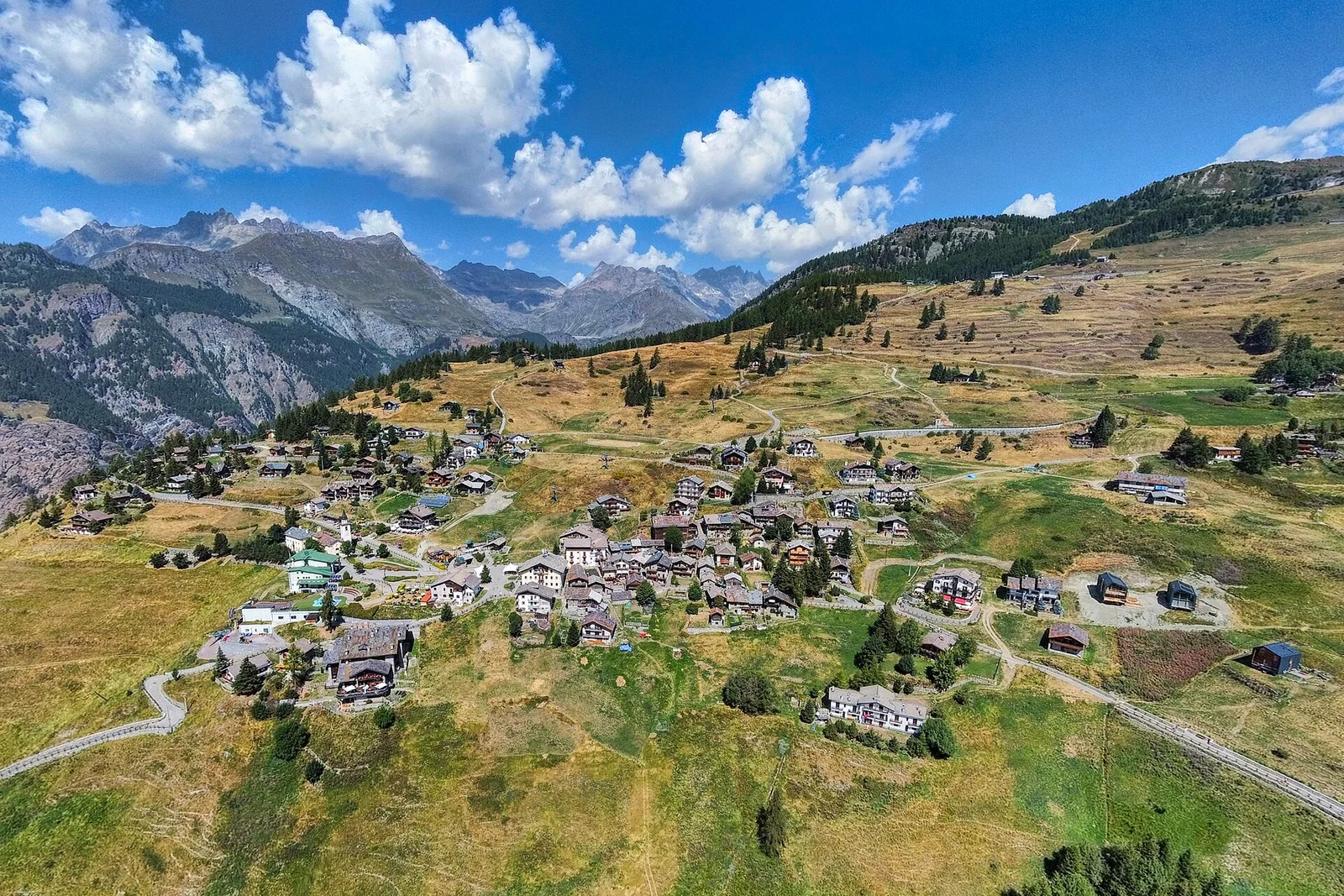
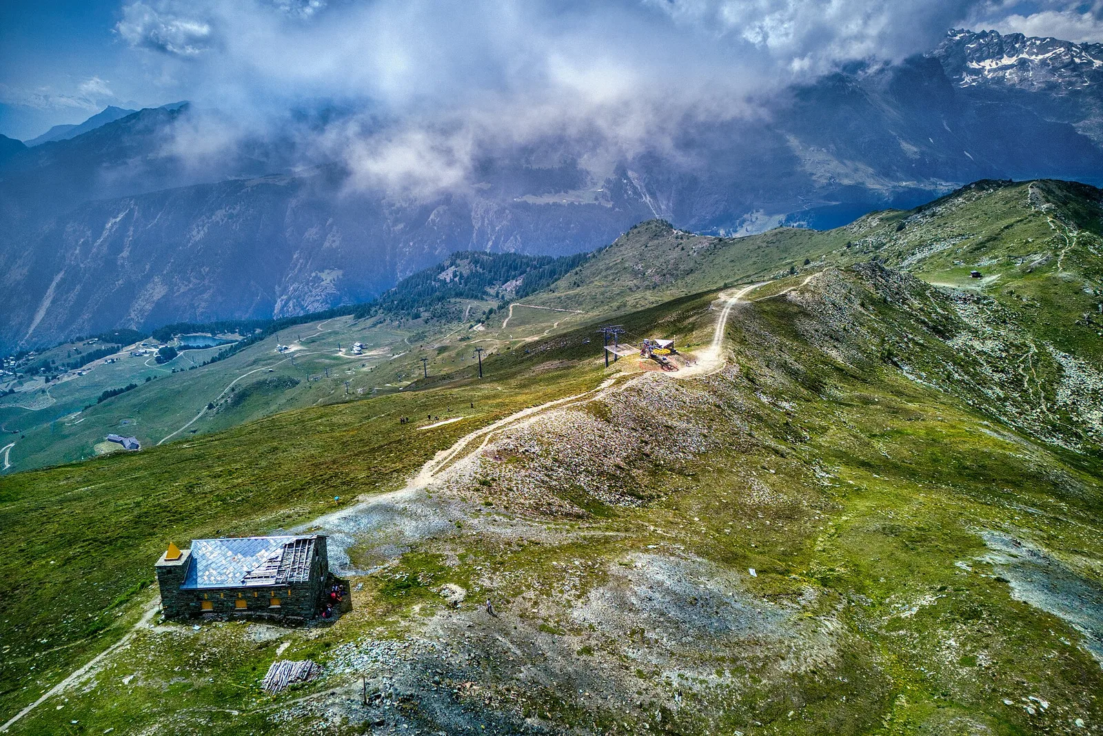
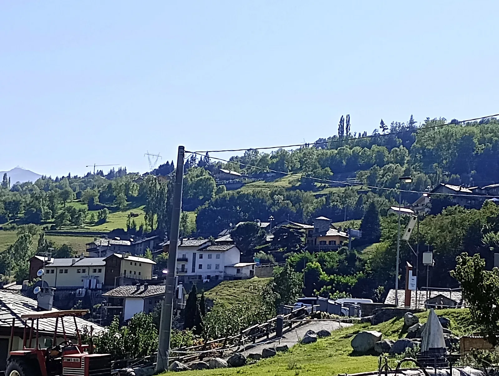
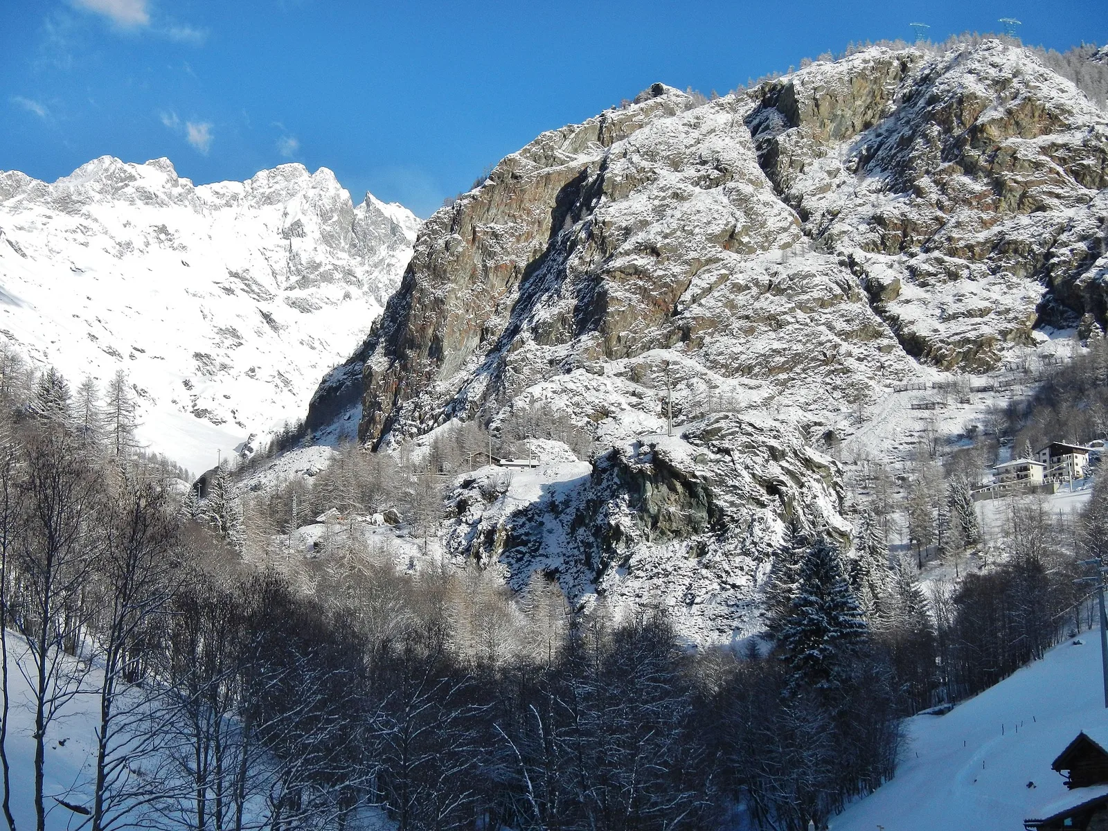
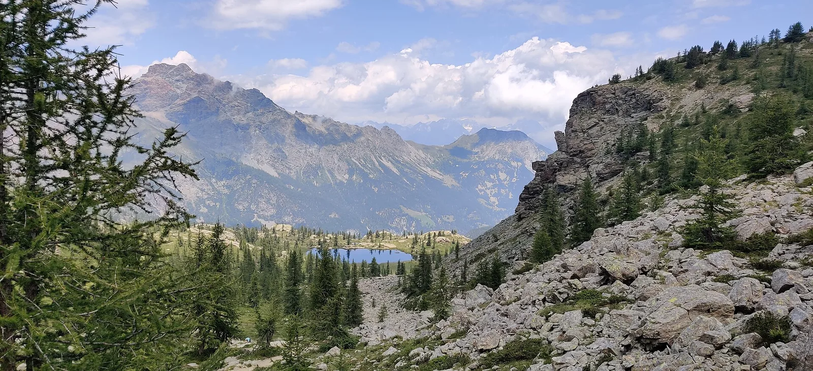
Balmeto - Leck Albezò
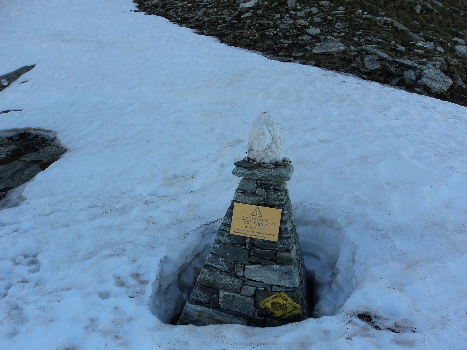
1.2 km · +287 m · E — from Balmeto to Leck Albezò (Champorcher Valley).
1.2 km+287 m1 h
Where to spot
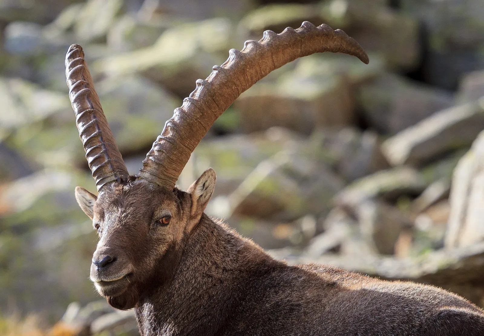
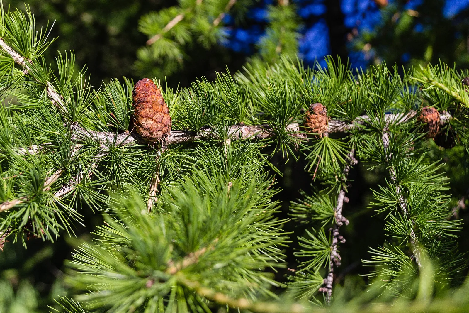
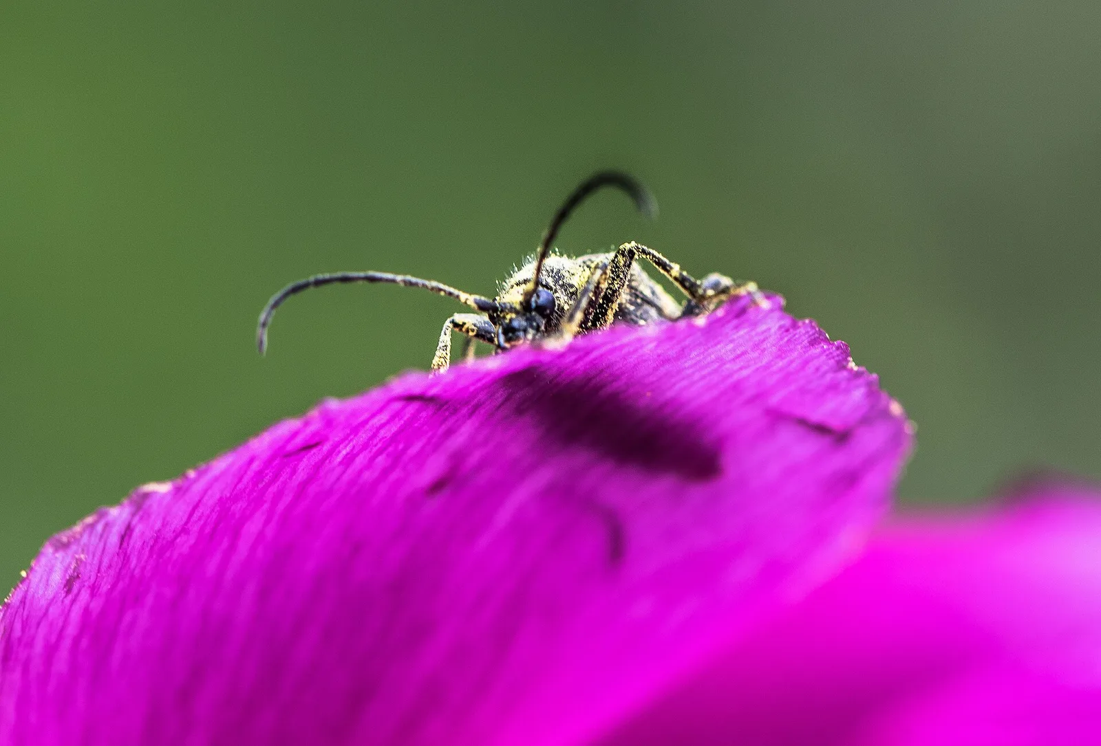
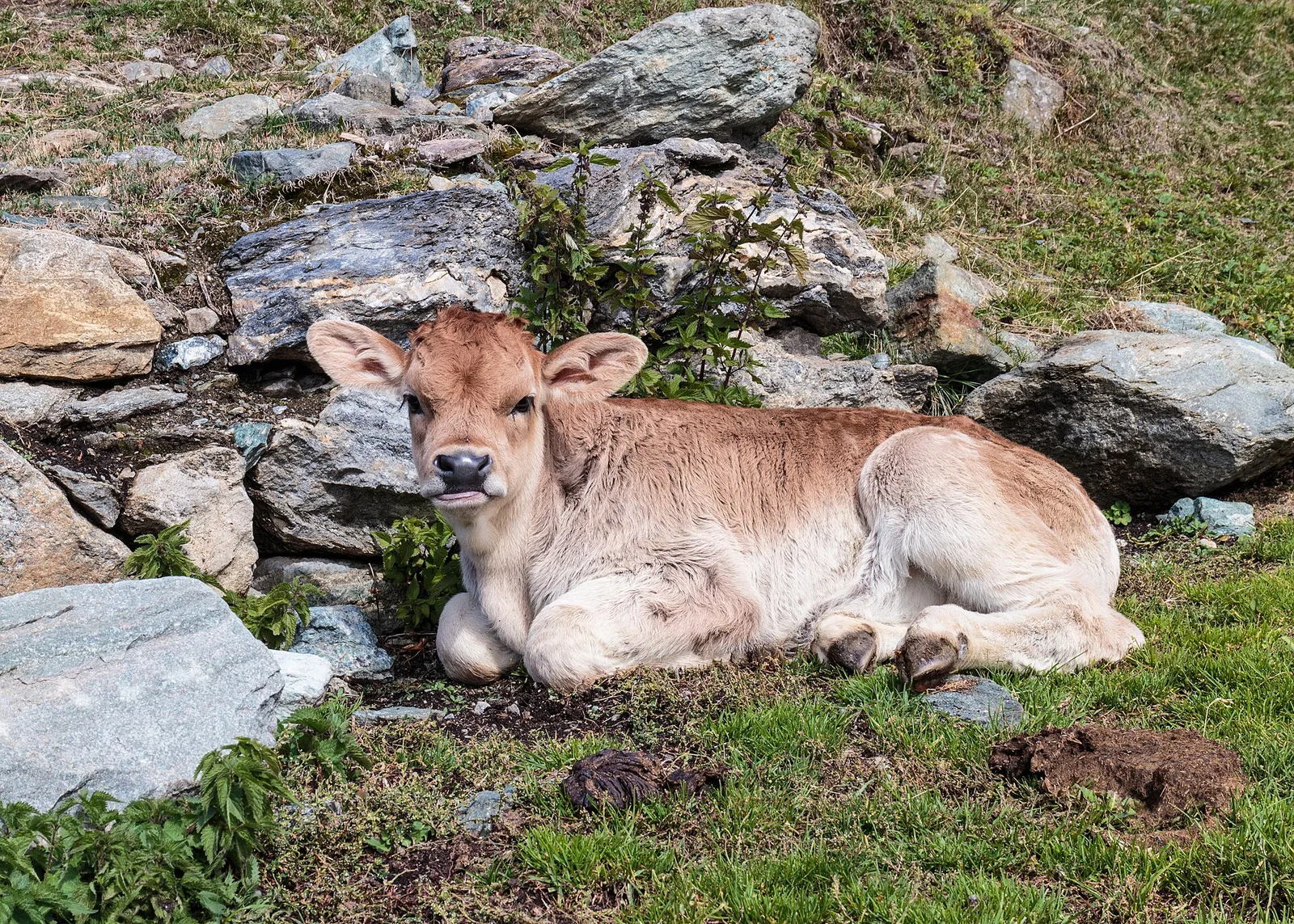
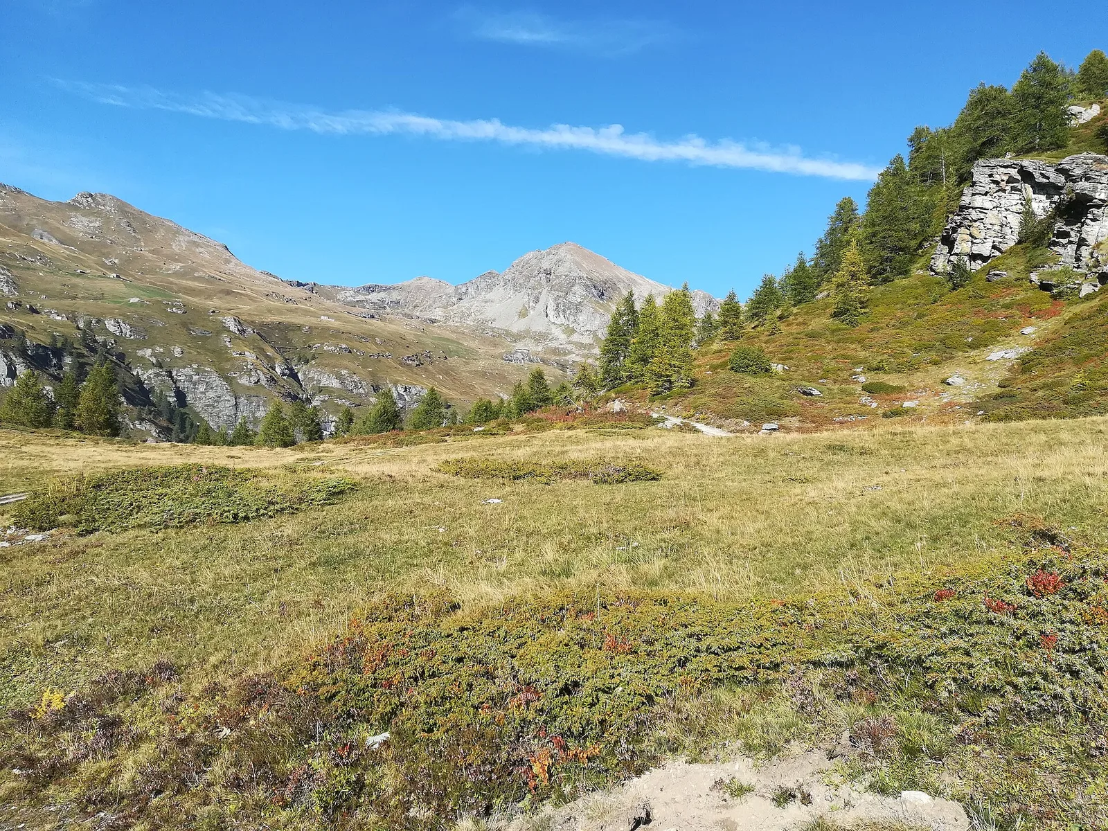
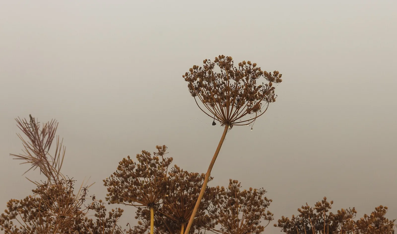
89 trails where Cowberry is listed in flora/fauna: difficulty T–EE, elevation gain 0–1983 m.
89 · 0.8–18.7 km · +0–1983 m
Valle di Champorcher
1.2 km · +287 m · E — from Balmeto to Leck Albezò (Champorcher Valley).
Valdigne
2 km · +262 m · E — from Baulin to Mont-Colombo (Valdigne).
Valdigne
5.5 km · +786 m · E — from Bellecombe to Alpe Valmeriana (Valdigne).
Valpelline
9.3 km · +968 m · E — from Blavy to Praz (Valpelline).
Valtournenche
A long traverse through Valtournenche from the vineyards of Bourg (1,078 m) to the pastures of Maen (1,991 m), with views toward the Matterhorn.
Valsavarenche
5.5 km · +811 m · E — from Verrayes (capoluogo) to Col des Bornes (Valsavarenche).
Valle del Lys
2.6 km · +874 m · E — from Cerise to Bec Tolomon (Lys Valley).
La Thuile
9.1 km · +949 m · E — from Challancin to Col Fetita (La Thuile).

Valpelline
From Chamin (1,732 m) to the Bivacco della Sassa (2,964 m) in the quiet Valpelline: 7.1 km and 1,246 m of ascent.
Valle centrale
1.6 km · +255 m · E — from Champoluc to Cascata Mascognaz (Central Valley).
Valtournenche
6.6 km · +1044 m · E — from Chardonney to Cimetta Rossa (Valtournenche).
Valle centrale
4.1 km · +768 m · E — from Charrère to Verrogne (Central Valley).
Valdigne
6 km · +1256 m · E — from Clapey to Alpe Valmeriana (Valdigne).
Valle del Lys
1.4 km · +246 m · E — from Cogne, capoluogo to Gimillan (Lys Valley).
Valtournenche
10.9 km · +1302 m · E — from Surrier to Col Bassac Déré (Valtournenche).
Val di Cogne
3.7 km · +1032 m · E — from Comboé (Comboué) to Becca di Nona (Cogne Valley).
Valle centrale
1.5 km · +286 m · E — from Parcheggio ovovia ( Crepin) to Liortère (Central Valley).
Valle del Gran San Bernardo
14.3 km · +1234 m · E — from Dolonne to Rifugio Elisabetta (Great St Bernard Valley).

Valle del Gran San Bernardo
10.8 km · +1062 m · EE — from Druges to Grande Chaux (Great St Bernard Valley).
Val d'Ayas
10.2 km · +1325 m · E — from Eaux-Rousses to Col de l'Entrelor (Ayas Valley).
Valle del Lys
3.1 km · +291 m · E — from Epinel to Gimillan (Lys Valley).
Valle centrale
5 km · +823 m · E — from Eternod to Mont Paglietta (Central Valley).

Valpelline
8.3 km · +1014 m · E — from Etirol to Col de Tsomioy (Valpelline).
Valle centrale
4.5 km · +938 m · E — from Fey to Croix Corma (Central Valley).
Valle del Lys
6.1 km · +1004 m · E — from Gimillan to Col Tsasèche (Lys Valley).
Valpelline
3.7 km · +1428 m · EE — from Glacier to Rifugio Amianthe (Valpelline).
Valle del Lys
5.4 km · +1403 m · EE — from Gressoney-la-Trinité to Piccolo Rothorn (Lys Valley).
Valle del Gran San Bernardo
5.5 km · +1202 m · E — from Hermitage to Col Licony (Great St Bernard Valley).
Valdigne
3.7 km · +112 m · T — from Strada dopo Veuillen to Corgnolaz (Valdigne).
Val di Cogne
4.7 km · +545 m · E — from La Pissine Sal� to Ermitage de Saint-Grat (Cogne Valley).

Valle del Lys
7.8 km · +1322 m · EE — from Le Crin to Col Lavodilec (Lys Valley).

Valle del Lys
5.2 km · +828 m · EE — from Le Crin to La Rossaz (Lys Valley).
Val di Cogne
5.8 km · +1201 m · E — from Pont Suaz to Ermitage de Saint-Grat (Cogne Valley).
Valle del Lys
4 km · +593 m · E — from Combes to Plan Bry (confine comunale Valgrisenche) (Lys Valley).
Valgrisenche
In the Valgrisenche, Arvier: a significant E-rated climb through forest toward upper pastures.
Valpelline
5.2 km · +408 m · E — from Lignan to Praz (Valpelline).
Valle del Lys
9.5 km · +1151 m · E — from Lillaz to Bivacco Devis Gérard (Lys Valley).
Valle centrale
2.3 km · +592 m · E — from Lillianes to Sainte-Marguerite (Central Valley).
Valle centrale
From Lod (2017m) to Pointe de Falinière (2763m): 3.7 km EE on open high-altitude terrain in the Champdepraz area.
Valsavarenche
8.1 km · +995 m · E — from Marseiller to Col des Bornes (Valsavarenche).
Valtournenche
7.6 km · +1124 m · E — from Menthieu to Lago San Grato (Valtournenche).
Valle del Lys
6.1 km · +1274 m · E — from Miserègne to Bec Tolomon (Lys Valley).
Valle del Lys
0.9 km · +104 m · E — from Montroz to Gimillan (Lys Valley).
Valle centrale
7.9 km · +832 m · E — from Morgex, sentiero 8, quota 950 to Petosan (Central Valley).
Valle centrale
5.2 km · +926 m · E — from N.D. to N.D. (Central Valley).
Valtournenche
2.7 km · +663 m · E — from Nuarsaz to Corgnolaz (Valtournenche).
Valtournenche
3.9 km · +1057 m · E — from Omens to Bec de l'Oie (Valtournenche).
Valtournenche
3.5 km · +593 m · E — from Outre l'Eve to Saint-Antoine (Valtournenche).
Valle centrale
5 km · +296 m · E — from Paquier to Chamois (Central Valley).
Valle del Lys
11.4 km · +1418 m · E — from Parcheggio Area camper to Col de la Lex Blanche (Lys Valley).
Valle centrale
5.5 km · +971 m · EE — from Perrères to Motta di Plété Occidentale (Central Valley).
Valle del Lys
3.9 km · +226 m · T — from Piazzale Colletesand to Staffal (Lys Valley).
Valle centrale
0.8 km · +156 m · E — from Pilaz to Magnéaz (Central Valley).
Valle centrale
2.4 km · +790 m · E — from Saint-Roch to Col de Plan Fenetre (Central Valley).
Valtournenche
3.1 km · +806 m · E — from Pompiod to Champallex (Champchenille) (Valtournenche).
Valtournenche
3.4 km · +733 m · E — from Pompiod to Montcorvé dessus (Valtournenche).
Val d'Ayas
7.9 km · +969 m · E — from Pont du Grand Clapey to Plan Borgnoz (Ayas Valley).
Valle del Lys
6.4 km · +1365 m · E — from Ponte Vernosse to Col de Saint-Barthélemy (Lys Valley).
Valle centrale
A long, severe climb on Aosta's adret: nearly 2000 m of ascent from the Porossan vineyards to the panoramic Col di Viou (2713 m).
Val d'Ayas
4.9 km · +983 m · E — from Praviou to Rifugio Chabod (Ayas Valley).
Valsavarenche
4.8 km · +166 m · E — from Prelaz to Col des Bornes (Valsavarenche).
Valle centrale
10.4 km · +67 m · E — from Reysod to Etroubles (Central Valley).
Valtournenche
4.5 km · +877 m · E — from Rifugio Bezzi to Col Bassac (Valtournenche).
Valle del Gran San Bernardo
5.7 km · +903 m · E — from Rif . Bonatti to Col Malatr� (Great St Bernard Valley).
Valtournenche
3.1 km · +475 m · E — from Rifugio Chalet de l'Epée to Col Fenêtre de Torrent (Valtournenche).

Val d'Ayas
6.1 km · +1025 m · E — from Rikurt to Muni (Ayas Valley).
Val d'Ayas
2.2 km · +375 m · E — from Rovenaud to Maisoncle (Ayas Valley).
Valle centrale
3 km · +114 m · E — from N.D. to N.D. (Central Valley).
Valdigne
In the Valdigne, La Salle: an E/EE-rated climb toward upper slope zones with views of Mont Blanc.
Valle centrale
From Saint-Jacques (1700 m) to Col della Bettaforca (2672 m): a historic cross-border pass between Val d'Ayas and Valsesia. 5.1 km, +987 m, E.

Valle centrale
5.2 km · +926 m · E — from Sarral to Arpilles (Central Valley).
Valle del Gran San Bernardo
5.5 km · +663 m · E — from Seissogne to Innesto S12 (Great St Bernard Valley).
Valle di Champorcher
13.1 km · +0 m · E — from Baite di David to Lysbalma (Champorcher Valley).
Valle del Lys
6.6 km · +1067 m · E — from Stafal to Col d'Olen (Lys Valley).
Valle del Lys
8.4 km · +1020 m · EE — from Staffal to Punta Telcio (Lys Valley).
Valle di Champorcher
8.6 km · +1145 m · E — from Steina to Passo di Loo (Champorcher Valley).
Valtournenche
3.5 km · +639 m · EE — from Strada Dondena to Col Cima Piana (Valtournenche).

Valtournenche
3.5 km · +639 m · EE — from Strada Dondena to Col Cima Piana (Valtournenche).
Val d'Ayas
Estoul (1884 m) to Col de Palasinaz (2676 m), Val d'Ayas: scenic pass linking the valley to Champoluc. 6.3 km, +797 m, E.
Val d'Ayas
From the Estoul road (1,884 m) via Lago Battaglia to the Corno Boussolaz summit (3,023 m): 7.9 km EE in Val d'Ayas.
Valle centrale
5.6 km · +1100 m · E — from Strada regionale per Arpy to Croix du Folliet (Central Valley).
Valgrisenche
12.3 km · +998 m · E — from Planaval to Rifugio Chalet de l'Epée (Valgrisenche).
Val d'Ayas
13.9 km · +1205 m · E — from Arpuilles to Vetan (Ayas Valley).
Valle centrale
18.7 km · +0 m · E — from Vetan to La Salle (Central Valley).
Valpelline
17.4 km · +680 m · T — from Plan Porion to Plan Porion (Valpelline).
Valdigne
A short climb in the Valdigne from Vedun, via Châtelet, to the pastures of the Alpe Or de Breuil, above La Salle.
Valle di Champorcher
3.4 km · +311 m · E — from Prima di Gressoney-La-Trinité to Alpezu grande (Champorcher Valley).
Valle centrale
7.3 km · +909 m · E — from Villeneuve to Petit Poignon (Central Valley).
Valle del Gran San Bernardo
1 km · +254 m · E — from Yair desor to Mouleret (Great St Bernard Valley).