
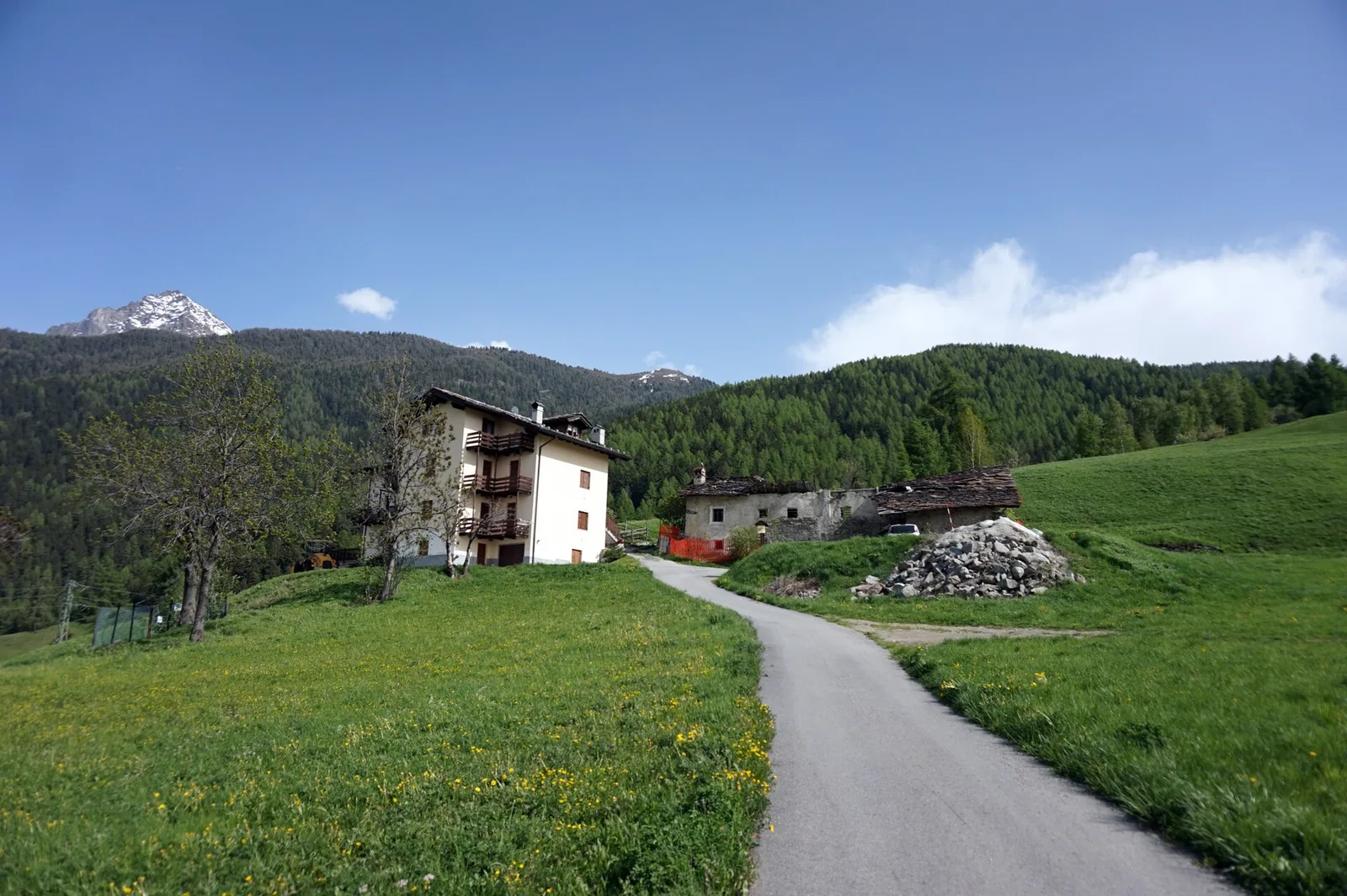
E
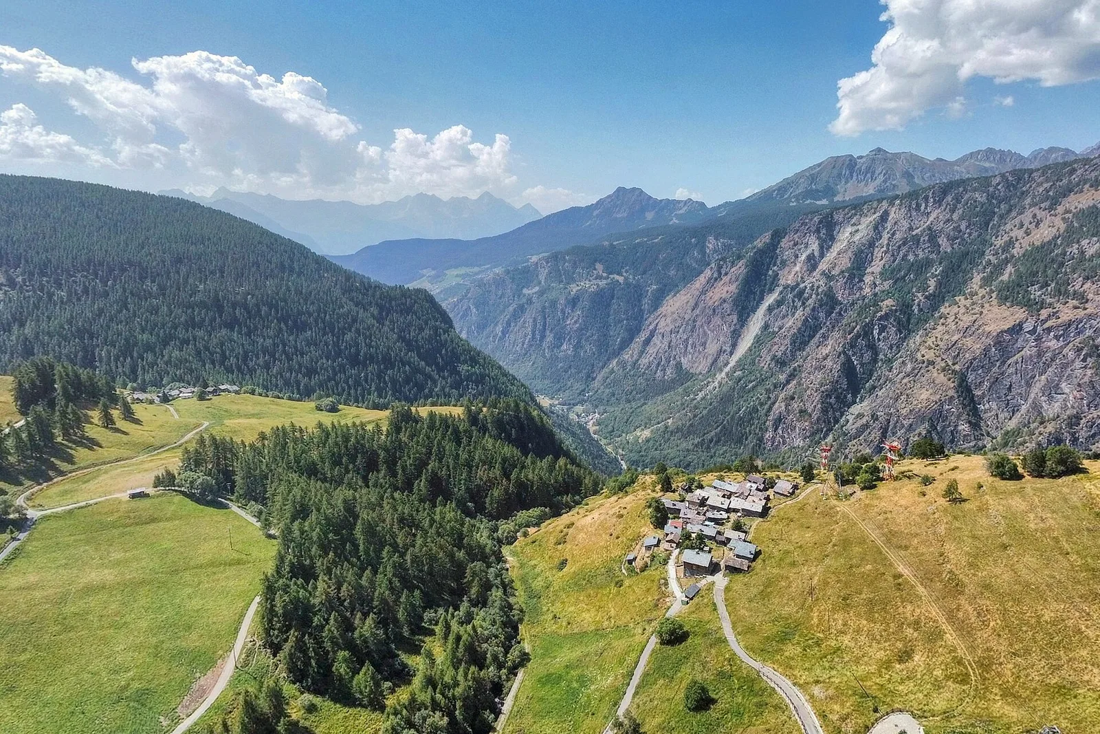
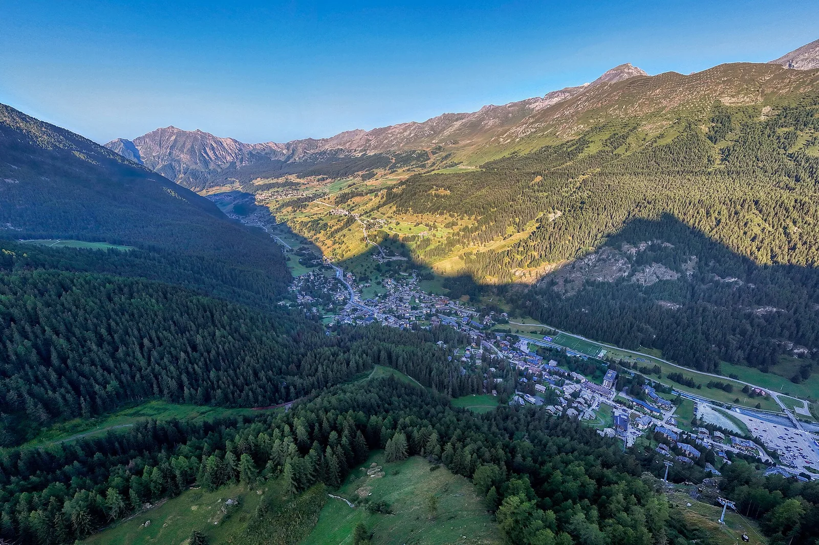
Valle centrale
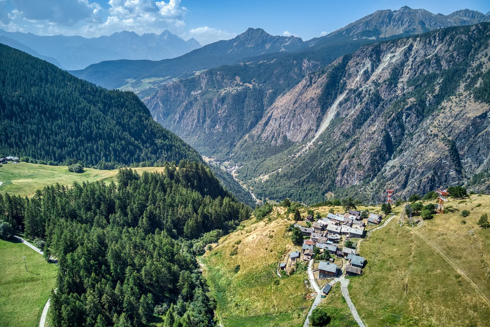
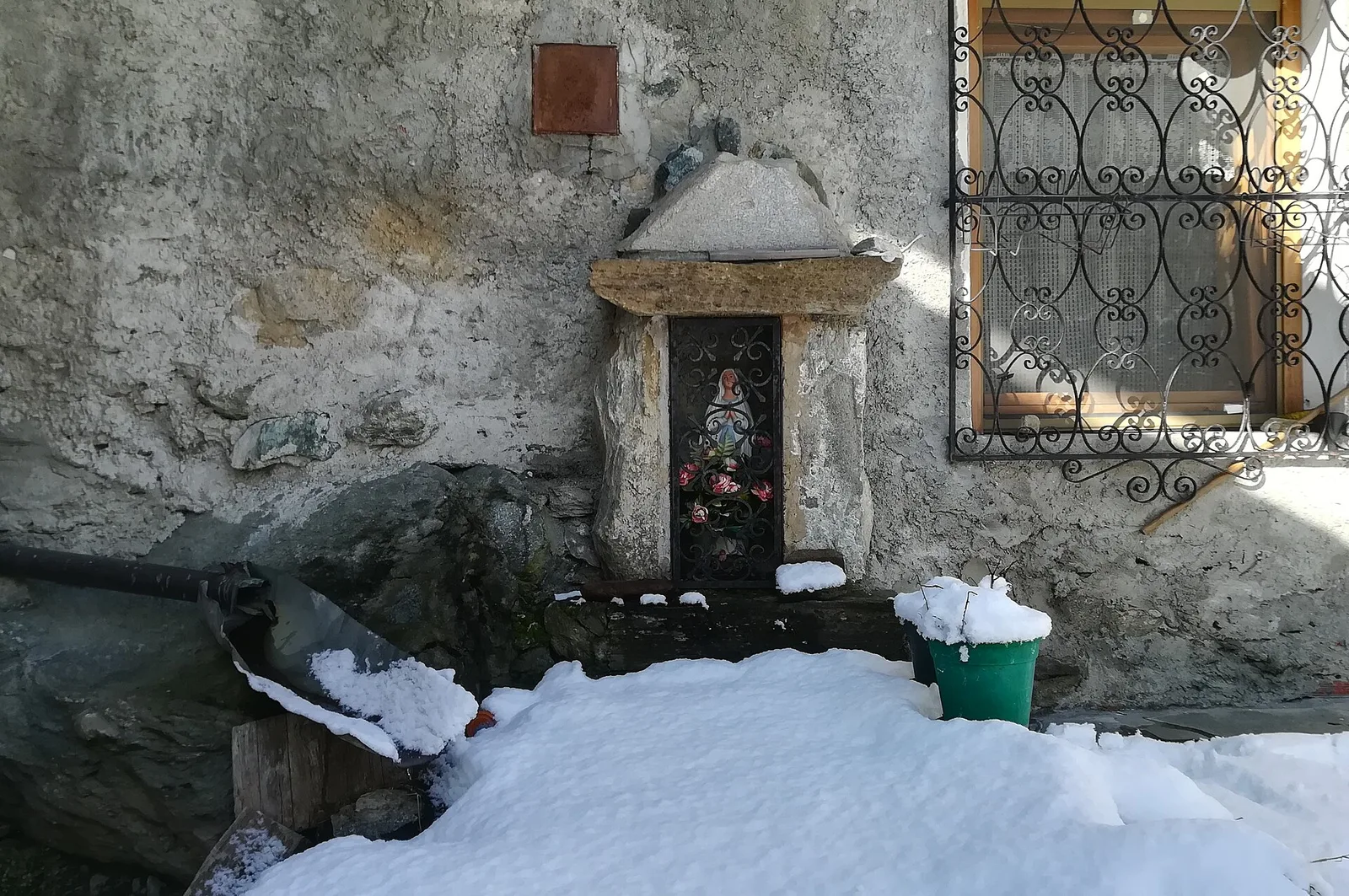
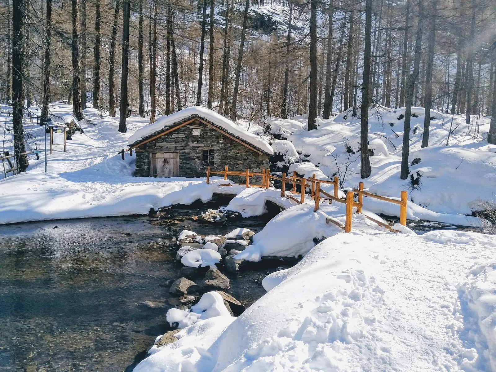
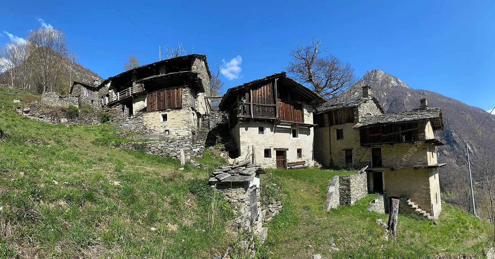
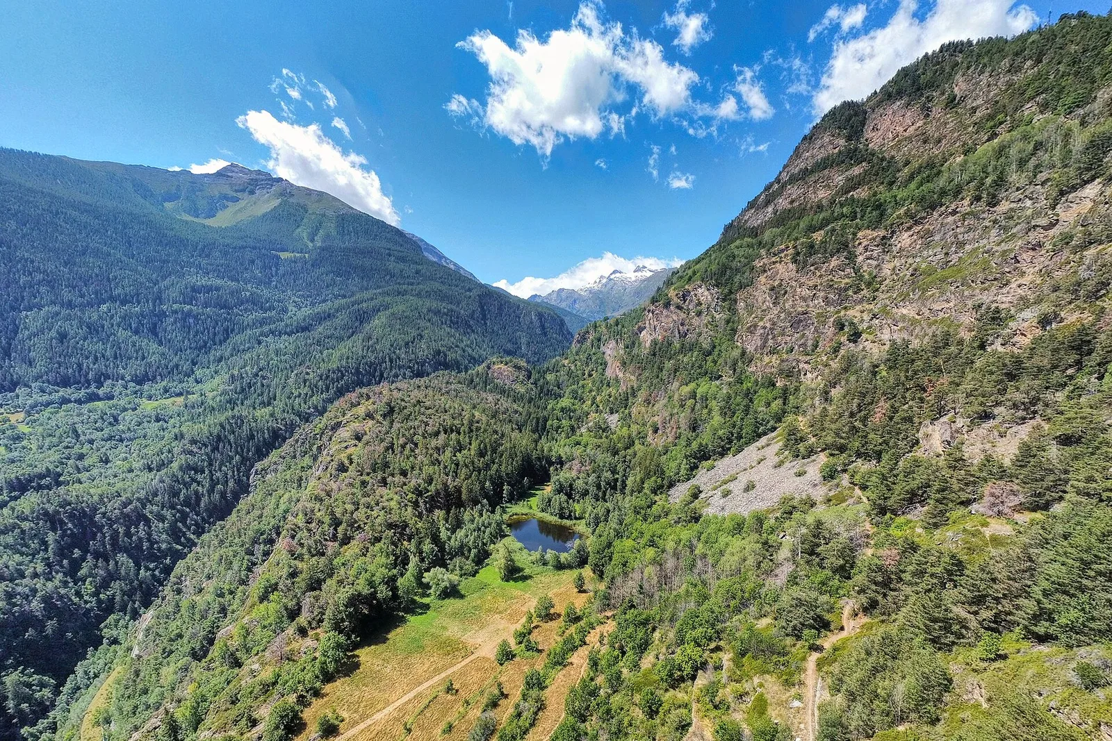
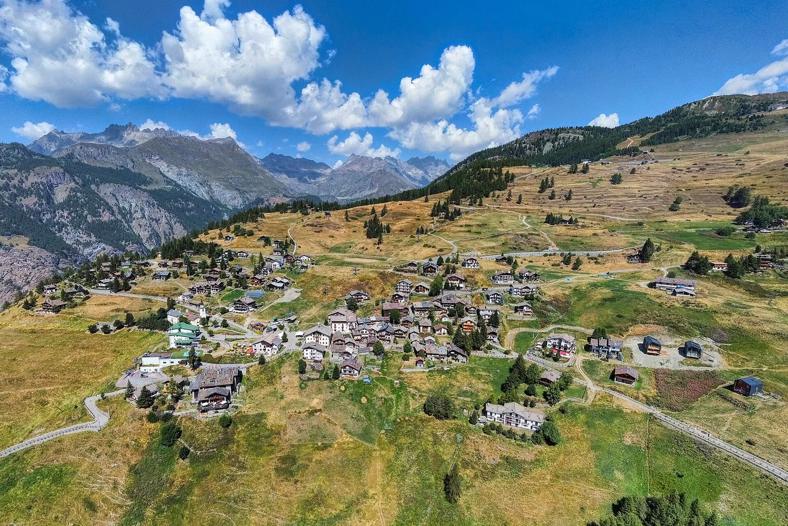
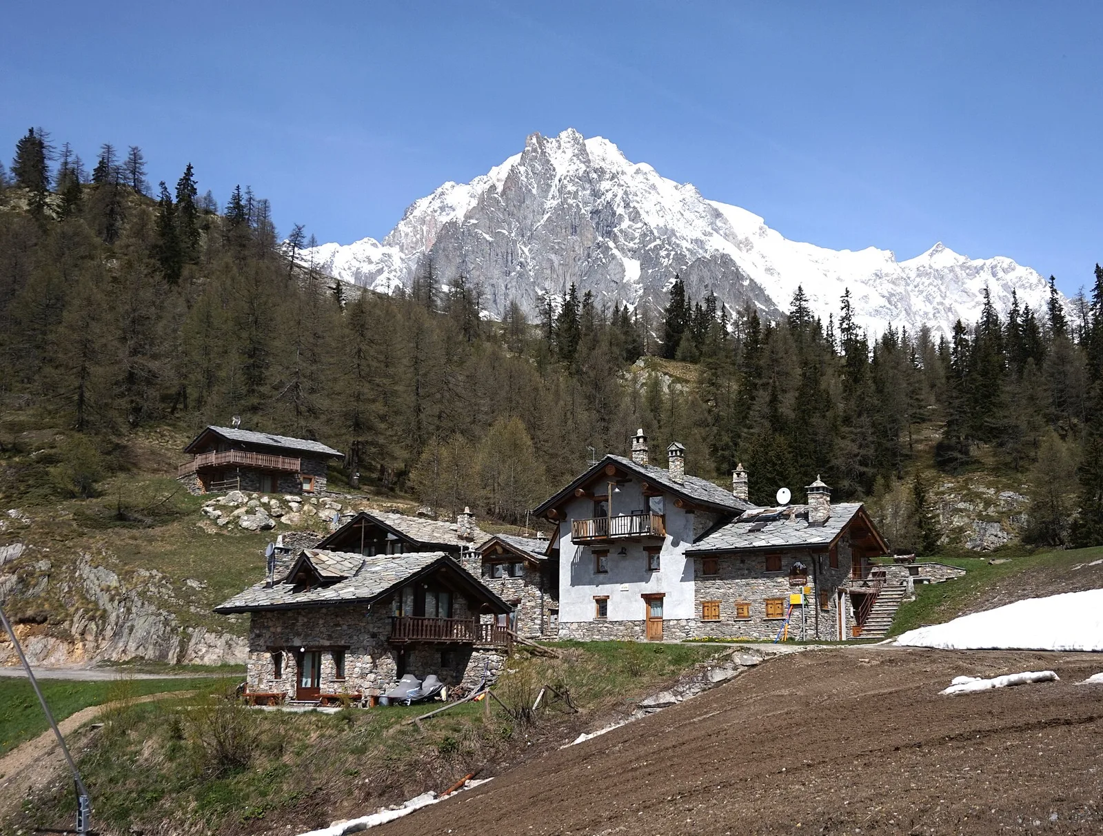
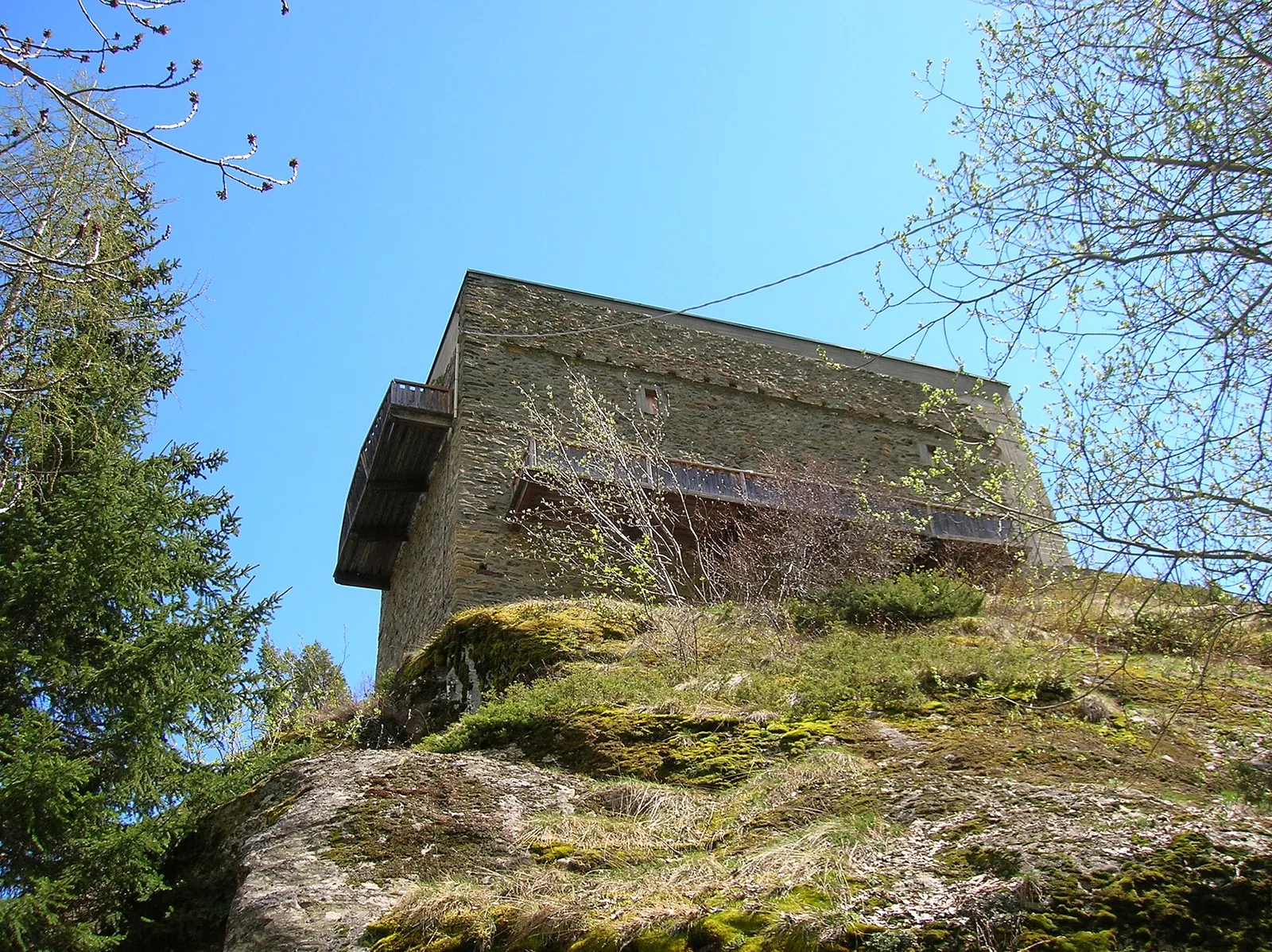
Amponey - Alpe Mascognaz
1.8 km · +309 m · E — from Amponey to Alpe Mascognaz (Central Valley).
1.8 km+309 m1 h
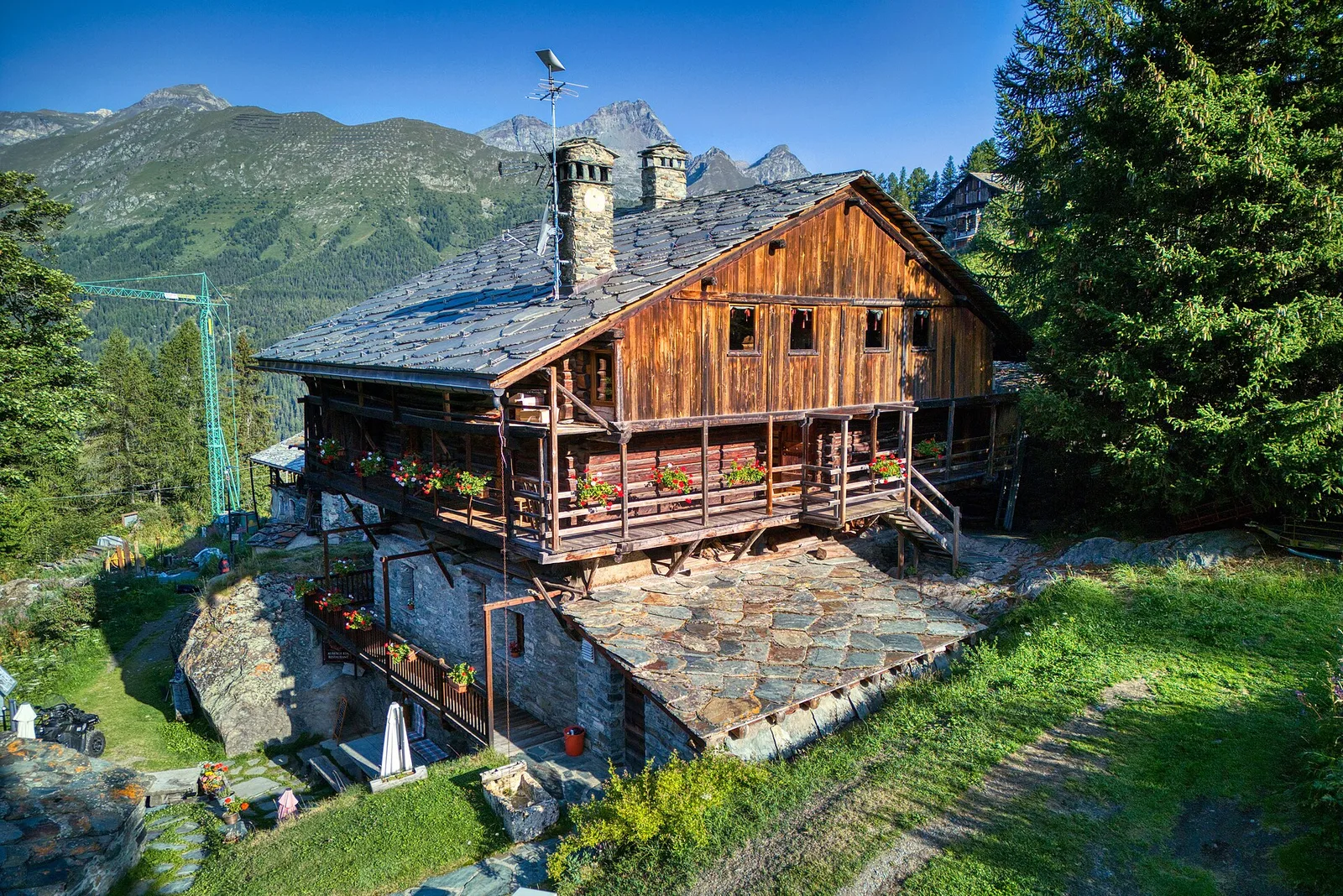
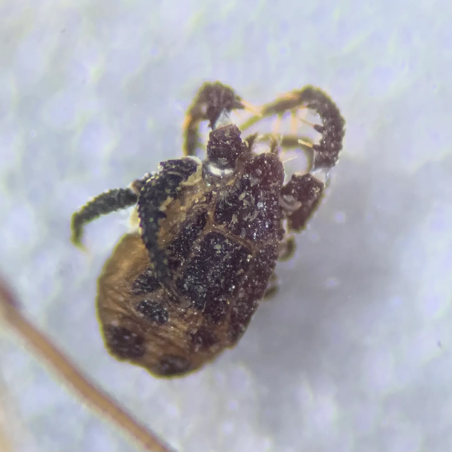
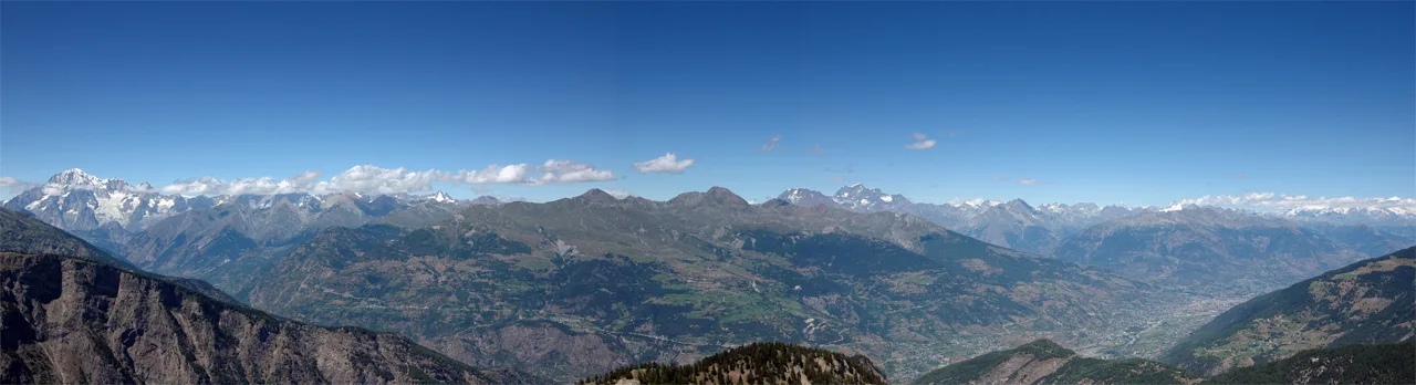
Where to spot
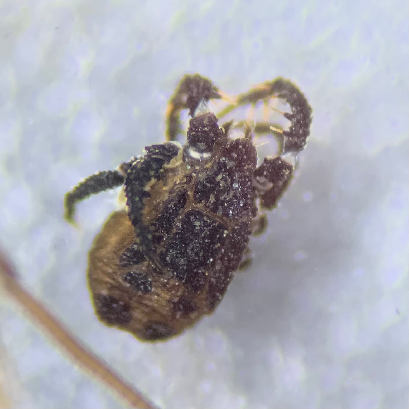
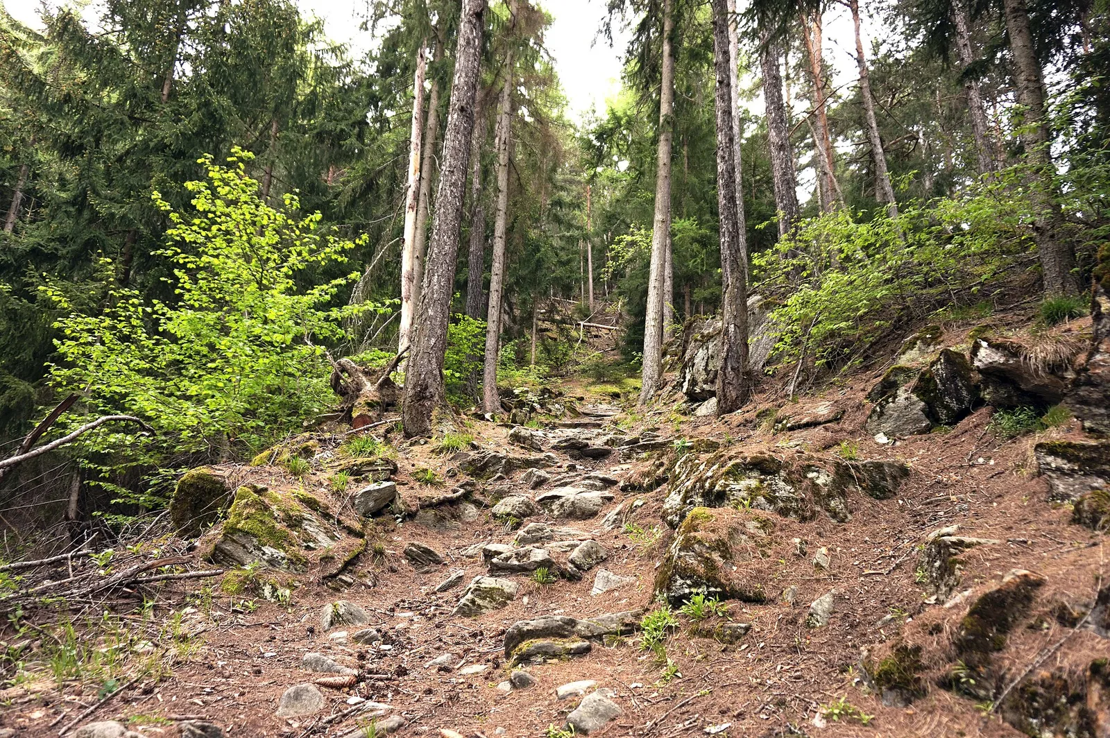
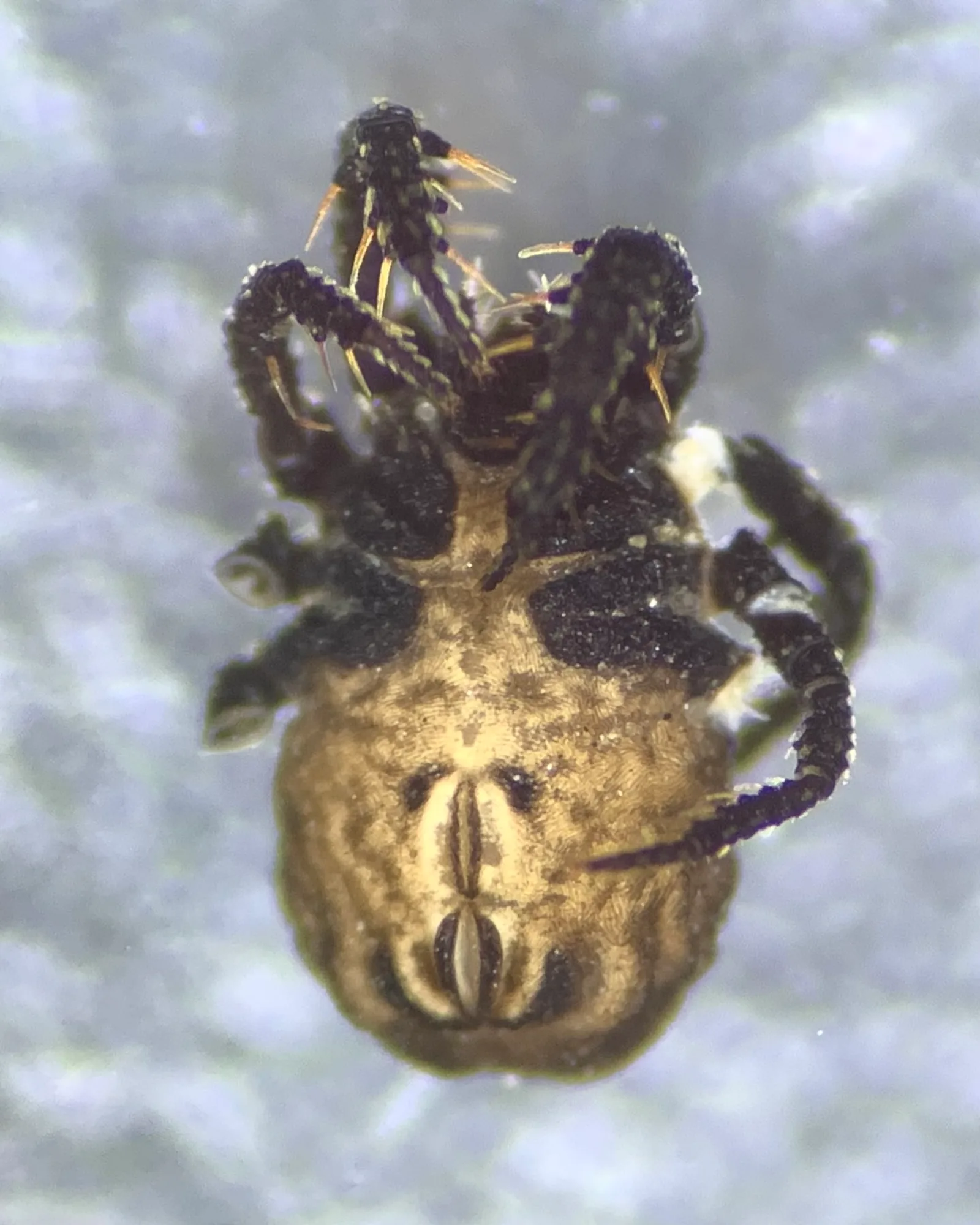
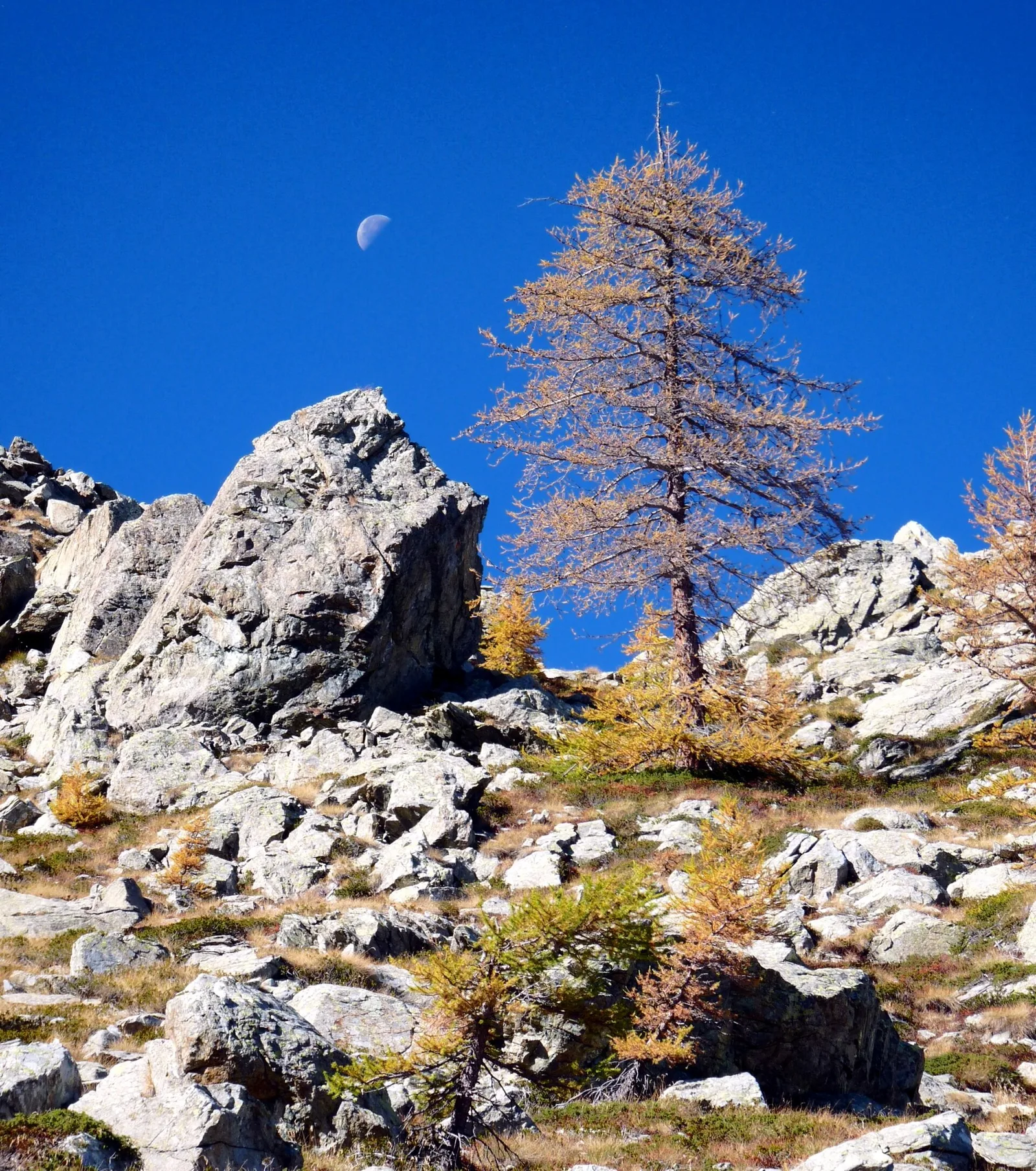
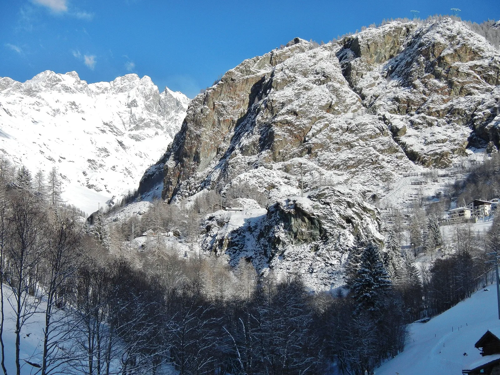
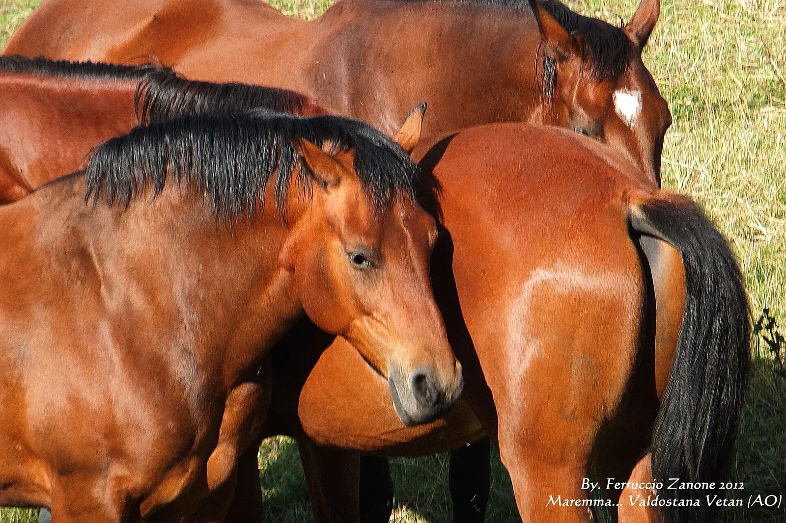
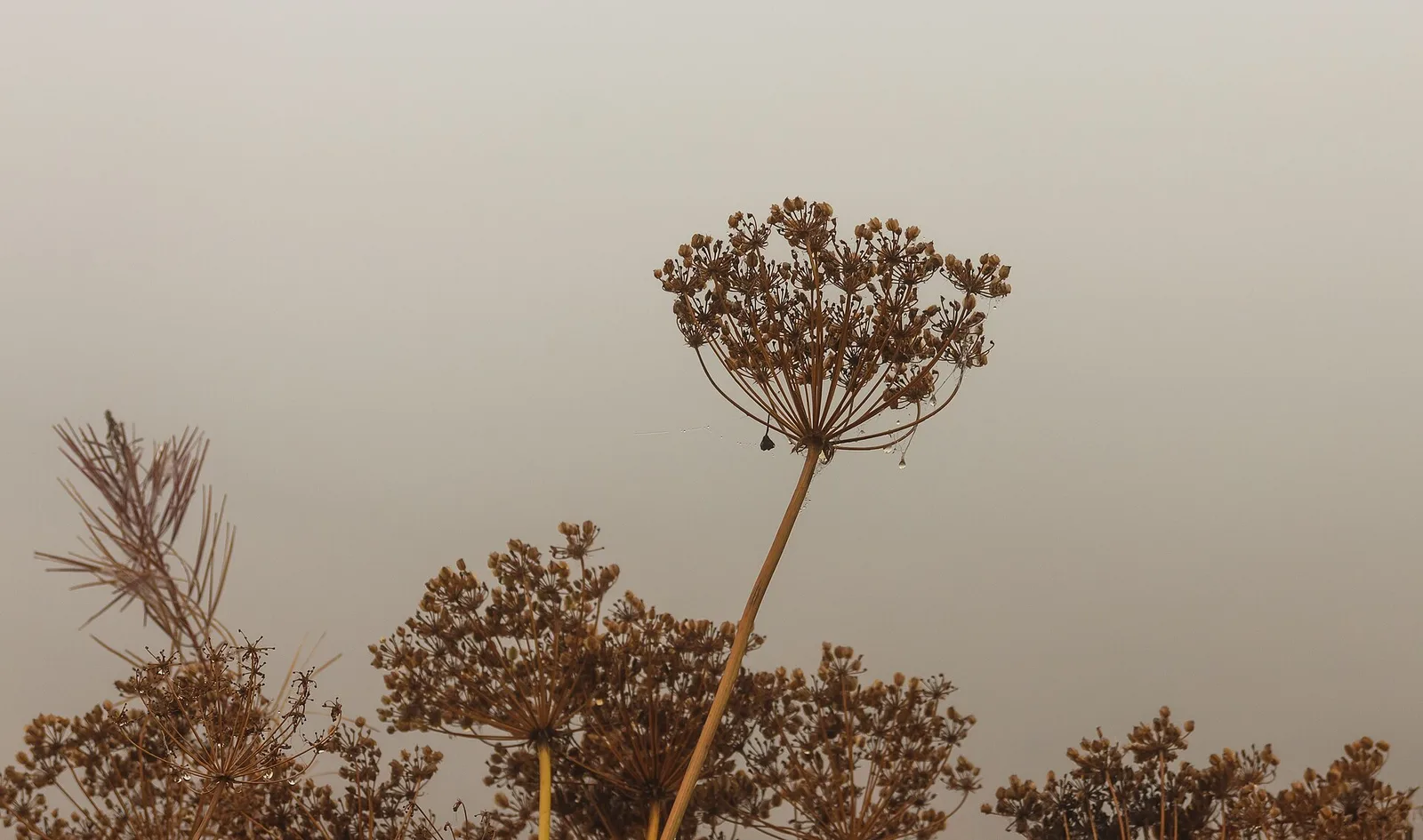
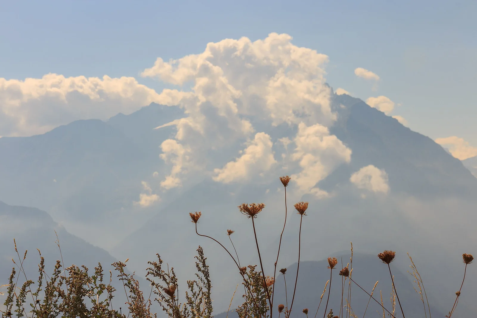
113 trails where Lanza s alpine salamander is listed in flora/fauna: difficulty T–EEA, elevation gain 0–1685 m.
113 · 0.7–26.6 km · +0–1685 m
Valle centrale
1.8 km · +309 m · E — from Amponey to Alpe Mascognaz (Central Valley).

Valle centrale
1.9 km · +140 m · E — from Champlève to Champlève (Central Valley).
Valle centrale
2 km · +107 m · E — from area pic-nic to Falegnon (Central Valley).

Valle del Lys
2.1 km · +333 m · E — from Arpilles to Champromenty (Lys Valley).
Valle del Lys
3.1 km · +0 m · E — from Arpisson to Ponteille (Lys Valley).

Valle di Champorcher
1.2 km · +287 m · E — from Balmeto to Leck Albezò (Champorcher Valley).
Valdigne
2 km · +262 m · E — from Baulin to Mont-Colombo (Valdigne).
Valdigne
6 km · +828 m · E — from Bellecombe to Thoule (Valdigne).
Valdigne
5.5 km · +786 m · E — from Bellecombe to Alpe Valmeriana (Valdigne).
Valle centrale
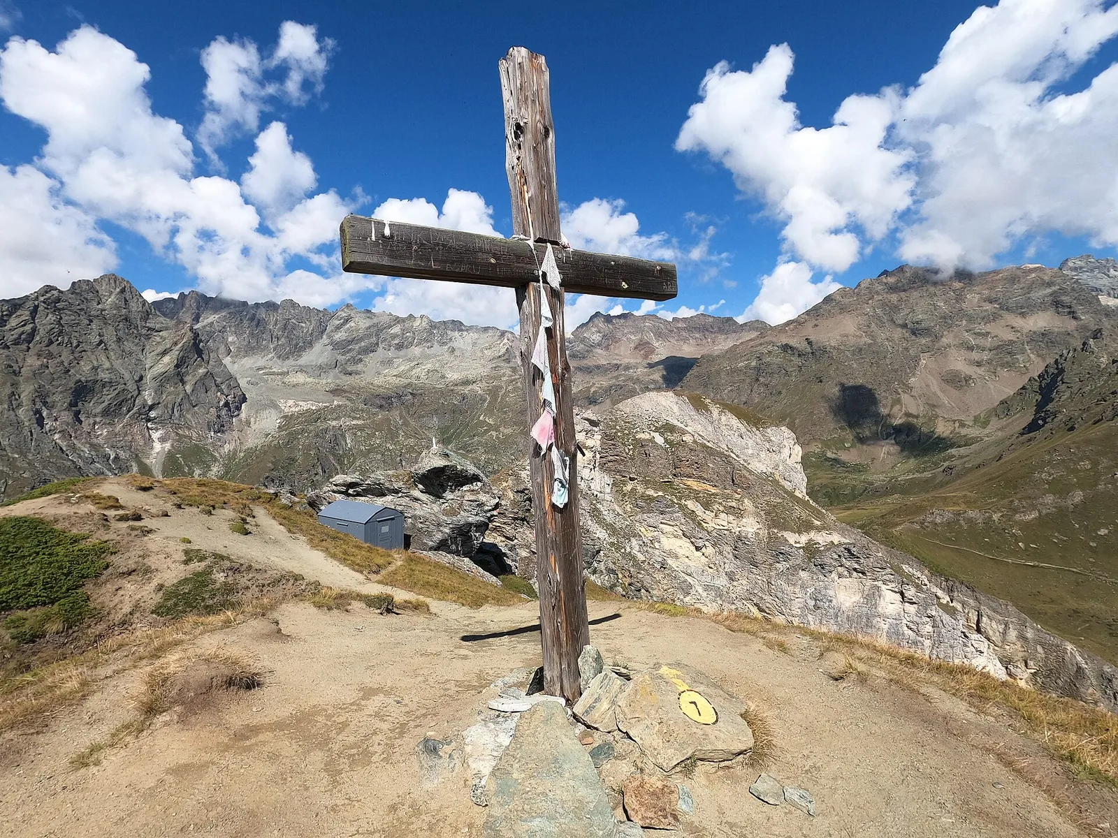
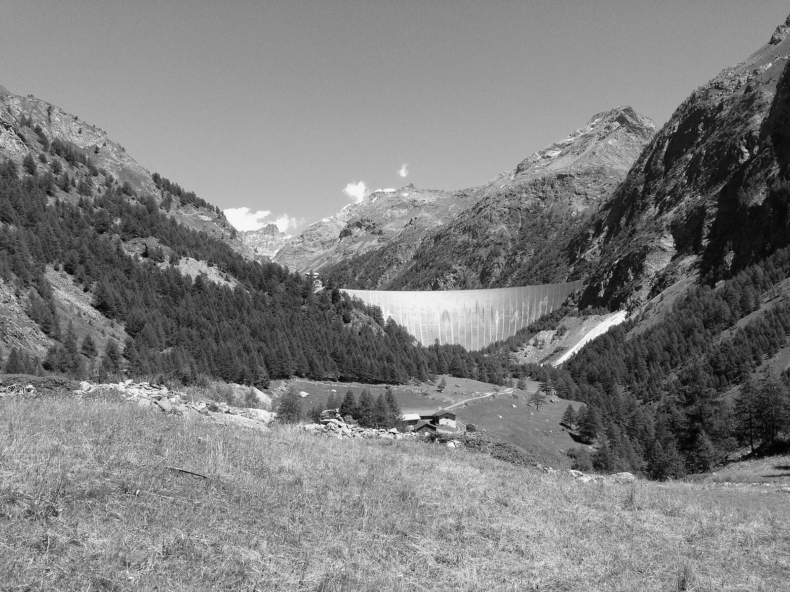
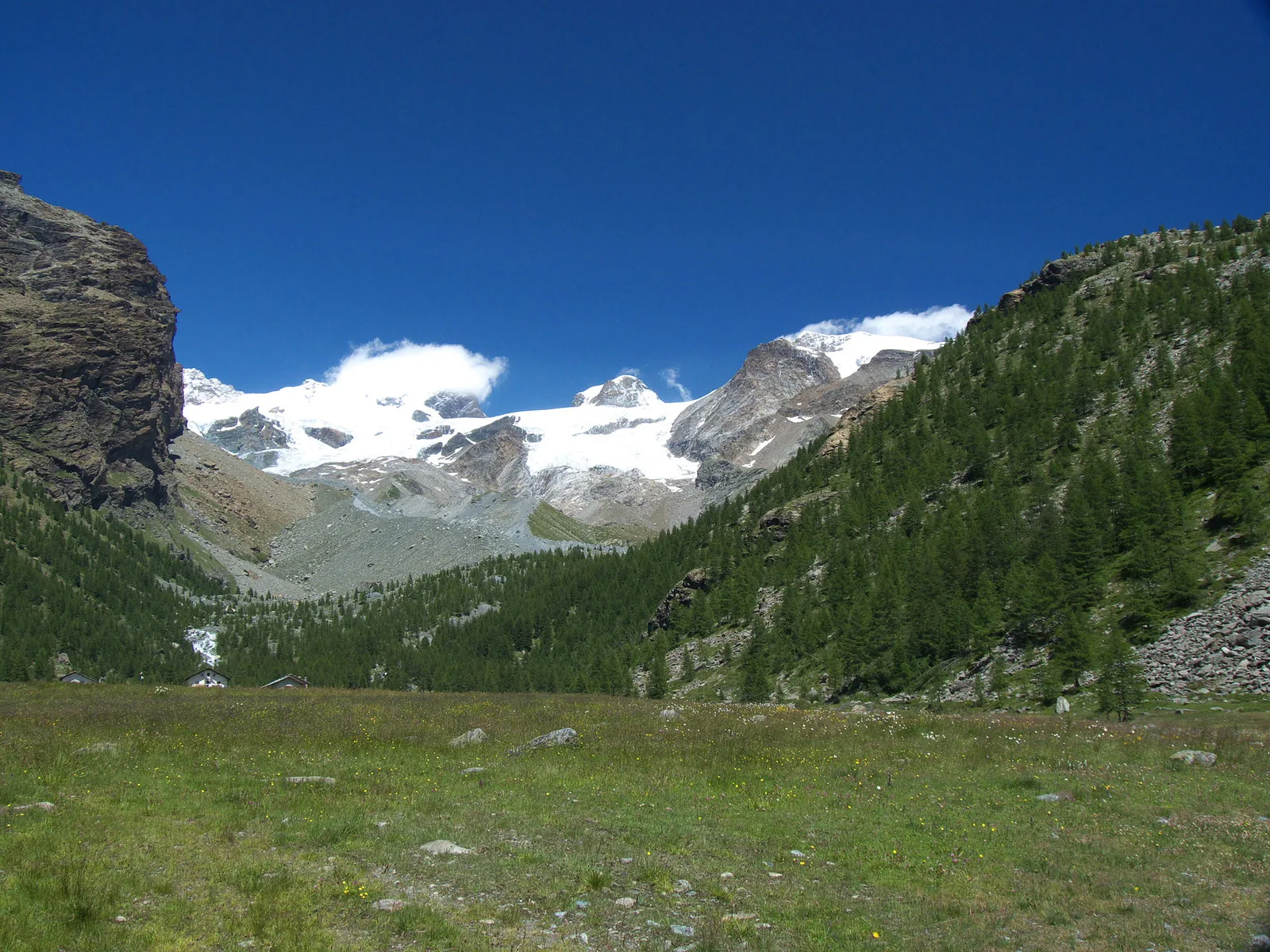
In the Vallone delle Cime Bianche, commune of Ayas: an EE route among glacial lakes and high alpine meadows.
Valtournenche
5.4 km · +1376 m · E — from Blavy to Becca di Viou (Valtournenche).
Valpelline
5 km · +816 m · E — from Blavy to Col de Joux (Valpelline).
Valdigne
2.8 km · +315 m · E — from Brengon (Cimitero de La Magdeleine) to Pilaz (Valdigne).
Valle centrale
2.8 km · +516 m · E — from Buthier to Alpe e Rifugio Chaligne (Central Valley).
Valle centrale
2.8 km · +516 m · E — from Buthier to Alpe e Rifugio Chaligne (Central Valley).
Valle centrale
3.8 km · +903 m · E — from Castagnot to Colle d'Arcomy (Central Valley).
Valle del Lys
2.6 km · +874 m · E — from Cerise to Bec Tolomon (Lys Valley).
Valle centrale
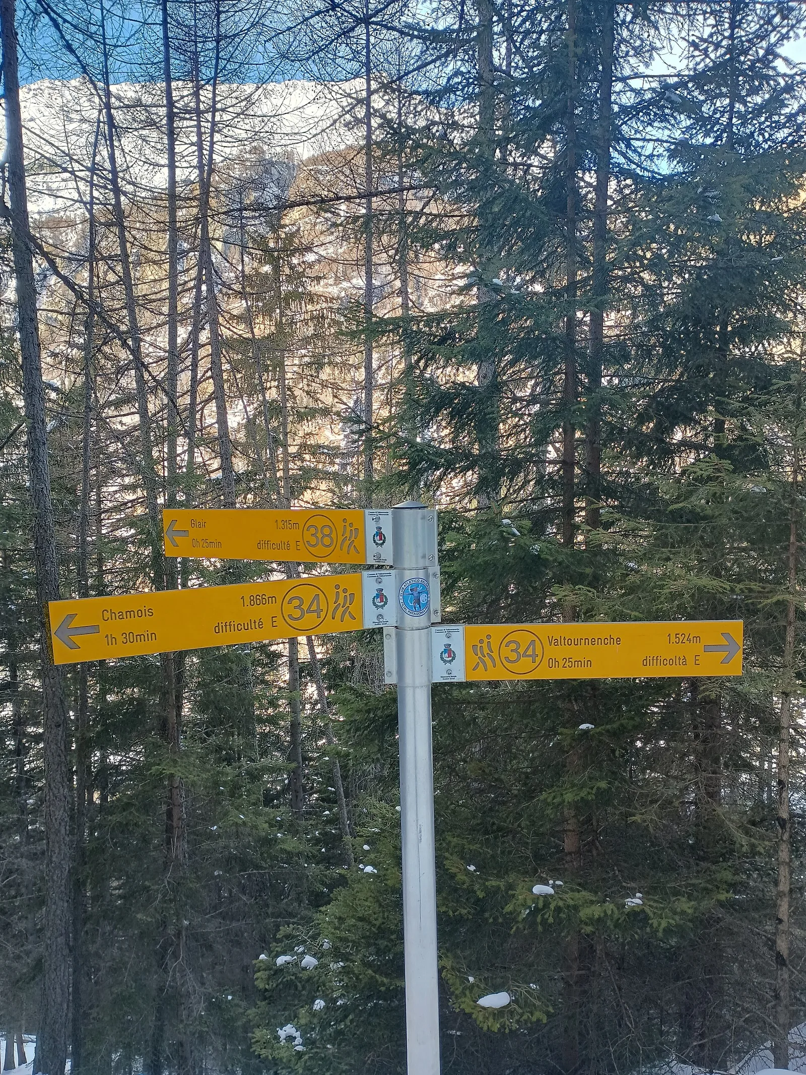
3.1 km · +220 m · E — from Chamois to Col Pilaz (Central Valley).
Valle centrale
1.6 km · +255 m · E — from Champoluc to Cascata Mascognaz (Central Valley).

Valle centrale
2.1 km · +264 m · E — from Champoluc to Mandriou (Central Valley).
Valpelline
0.7 km · +72 m · E — from Champtorné to Gortz� (Valpelline).
Valle del Gran San Bernardo
6.4 km · +210 m · E — from Chanavey to Thumel (Great St Bernard Valley).
Valtournenche
4.4 km · +507 m · E — from Chardonney to Champlong (Valtournenche).
Val di Rhêmes
1.9 km · +387 m · E — from Chateau de Quart to Beato Emerico (Rhêmes Valley).
Valle del Lys
7 km · +1299 m · E — from Chenaux to Arpisson (Lys Valley).

Valle del Lys
6.7 km · +1328 m · E — from Chenière to Arpisson (Lys Valley).
Valpelline
Chez-Chenoux (1739 m) to Alpe Luseney (2478 m), Valpelline: short, steep ascent into a glacial cirque. 3 km, +775 m, E.
Valdigne
6 km · +1256 m · E — from Clapey to Alpe Valmeriana (Valdigne).
Valle del Lys
1.4 km · +246 m · E — from Cogne, capoluogo to Gimillan (Lys Valley).
Valle centrale
1.5 km · +286 m · E — from Parcheggio ovovia ( Crepin) to Liortère (Central Valley).
Valle centrale
2.1 km · +0 m · E — from Crest to Mascognaz (Central Valley).

Valle di Champorcher
4.8 km · +708 m · E — from Fournier to Mandaz (Champorcher Valley).

Valle del Gran San Bernardo
From Ville di Allein, an honest climb through pastures and larch woods to the Dortoir Baravex refuge at 1938 m, in the Great St Bernard valley.
Valle del Gran San Bernardo
2.5 km · +239 m · E — from Druges to Miniera di Servette (Great St Bernard Valley).
Valle del Gran San Bernardo
3.1 km · +239 m · E — from Druges to Miniera Servette (Great St Bernard Valley).
Valtournenche
2.9 km · +832 m · EE — from Dublanc to Tete du Mont (Valtournenche).
Valle di Champorcher
2.9 km · +832 m · EE — from Dublanc to Tete du Mont (Champorcher Valley).
Valtournenche
1.4 km · +297 m · EE — from Echelly to Grand-Rosier (Valtournenche).
Val d'Ayas
5.2 km · +966 m · E — from Fenille to Colle Becca Plana (Ayas Valley).
Valle centrale
4.5 km · +938 m · E — from Fey to Croix Corma (Central Valley).
Valle centrale
1.5 km · +370 m · E — from Frachey to Varda (Central Valley).
Valle centrale
1.6 km · +197 m · E — from Gerbore to Mont Greume (Central Valley).
Valle del Lys
3.1 km · +95 m · E — from Gimillan to Tsavanis (Lys Valley).
Valtournenche
2.7 km · +540 m · EE — from Gontier to Col d'Arcomy (Valtournenche).
Valgrisenche
0.8 km · +0 m · E — from Grand Haury to Castello Montmayeur (Valgrisenche).

Valtournenche
1.8 km · +425 m · EE — from Grand Rosier to Tete du Mont (Valtournenche).
Valle del Lys
5.6 km · +1012 m · E — from Gressan , Clapey to Pila (Residence Ciel Bleu) (Lys Valley).
Valle del Gran San Bernardo
7.4 km · +1321 m · E — from Hermitage to Verrand (Great St Bernard Valley).
Valle centrale
12.3 km · +890 m · E — from La Cheriettes to Alpe Ars (Central Valley).
Valdigne
3.7 km · +112 m · T — from Strada dopo Veuillen to Corgnolaz (Valdigne).
Valle centrale
3.3 km · +580 m · E — from Lac du Joux to Col du Mont.Joux (Central Valley).
Valle di Champorcher
2.1 km · +538 m · E — from Lago Gover to Alpe Jatza (Champorcher Valley).
Valle del Lys
6.9 km · +1065 m · E — from Le Crin to Col de Médzove (Lys Valley).
Val di Cogne
5.8 km · +1201 m · E — from Pont Suaz to Ermitage de Saint-Grat (Cogne Valley).
Valpelline
7.7 km · +287 m · E — from Lignan to Champlaisant (Valpelline).
Valle centrale
1.1 km · +260 m · E — from Lignod to Barmasc (Central Valley).
Valle centrale
1.6 km · +294 m · E — from Lignod to Incrocio Ru (Central Valley).

Valle centrale
6.2 km · +1327 m · E — from Lo Pian to Lac de Panaz (Central Valley).
Valle centrale
Monte Emilius massif: an EE/EEA route toward the boundary ridges between Val di Cogne and the central valley.
Valle centrale
2.3 km · +427 m · E — from Mayen to Pâquier (Cré-du-Pont) (Central Valley).
Valle del Lys
6.1 km · +1274 m · E — from Miserègne to Bec Tolomon (Lys Valley).
Valle del Lys
0.9 km · +104 m · E — from Montroz to Gimillan (Lys Valley).
Valle centrale
5.2 km · +926 m · E — from N.D. to N.D. (Central Valley).
Valtournenche
2.7 km · +663 m · E — from Nuarsaz to Corgnolaz (Valtournenche).
Valtournenche
3.5 km · +593 m · E — from Outre l'Eve to Saint-Antoine (Valtournenche).

Valle centrale
2.8 km · +257 m · E — from Piscotaz to Alpe Vardaz (Central Valley).
Valle centrale
3.7 km · +317 m · E — from Paquier to Champleve (Central Valley).
Valle centrale
5 km · +296 m · E — from Paquier to Chamois (Central Valley).
Valpelline
5.7 km · +693 m · E — from Parcheggio Porliod to Innesto AV1 (Valpelline).
Valle centrale
5.5 km · +928 m · EEA — from Laghetto Vofrède to Rifugio Perucca Vuillermoz (Central Valley).
Valle centrale
4.3 km · +562 m · E — from Petit-Buthier to Alpe Ars (Central Valley).
Valle centrale
5.7 km · +562 m · E — from Petit-Buthier to Alpe Ars (Central Valley).

Valtournenche
2.6 km · +507 m · EE — from Petit-Rosier to Col d'Arcomy (Valtournenche).
Valtournenche
1.4 km · +381 m · EE — from Petit-Rosier to Col de Poussauel (Valtournenche).
Valle del Lys
3.9 km · +226 m · T — from Piazzale Colletesand to Staffal (Lys Valley).
Valle del Lys
5.8 km · +1040 m · E — from Pila to Col Chasèche (Lys Valley).
Valle del Gran San Bernardo
2.4 km · +379 m · E — from Plan Checrouit to Col Checrouit (Great St Bernard Valley).
Valle del Gran San Bernardo
1.2 km · +156 m · E — from Plan de Lognan to Jardin du Miage (Lac Vert) (Great St Bernard Valley).
Valle del Gran San Bernardo
1.9 km · +450 m · E — from Plan Ponquet to Col Checrouit (Great St Bernard Valley).
La Thuile
6.4 km · +850 m · E — from Planaval to Col Fetita (La Thuile).
Valtournenche
4.7 km · +488 m · E — from Planaval to Miollet (Valtournenche).

Valle del Lys
6.9 km · +1393 m · E — from municipio Pollein to Arpisson (Lys Valley).

Valle del Lys
6.4 km · +1365 m · E — from Ponte Vernosse to Col de Saint-Barthélemy (Lys Valley).
Valtournenche
9 km · +1546 m · E — from Pramotton to Alpe Bonze (Valtournenche).
Valpelline
2 km · +261 m · E — from Praz to Praz Croux (Valpelline).
Valle del Gran San Bernardo
6.2 km · +904 m · E — from Prenoud to Tête du Bois (Great St Bernard Valley).
Valtournenche
2.9 km · +376 m · EE — from Remoran to Col d'Arcomy (Valtournenche).
Val di Cogne
4.2 km · +648 m · E — from Rifugio Arbolle to Col d'Arbolle (Cogne Valley).
Val d'Ayas
2.2 km · +375 m · E — from Rovenaud to Maisoncle (Ayas Valley).
Valle centrale
In the Val d'Ayas, Ayas: a steady E-rated climb toward high altitude with views of Monte Rosa.
Valle centrale
3 km · +114 m · E — from N.D. to N.D. (Central Valley).
Valdigne
In the commune of La Salle, Valdigne: an E-rated climb with significant elevation gain toward upper slope zones.
Valdigne
In the Valdigne, La Salle: an E/EE-rated climb toward upper slope zones with views of Mont Blanc.
Valle centrale
4.7 km · +1018 m · E — from Saint-Léonard to Col Citrin (Central Valley).

Valle centrale
2.9 km · +672 m · E — from Sarral to Champromenty (Central Valley).

Valle centrale
5.2 km · +926 m · E — from Sarral to Arpilles (Central Valley).
Valle centrale
26.6 km · +940 m · E — from Perrères to Perrères (Central Valley).
Valpelline
2.4 km · +160 m · E — from Incrocio strada presso Alpe Désert to Incrocio strada presso Alpe Désert (Valpelline).
Valle del Lys
4.3 km · +688 m · E — from Sorressamont to Champromenty (Lys Valley).
Valle del Gran San Bernardo
Along the historic Ru de Menouve, a gentle, almost level walk from Daillon to the Alpe Ponteille, on the edge of the Menouve valley.
Valle centrale
5.5 km · +1288 m · E — from Strada regionale per Arpy to Mont-Charvet (Central Valley).
Valle di Champorcher
12.7 km · +1425 m · E — from Capoluogo to Crest (Champorcher Valley).
Valtournenche
5.6 km · +1484 m · E — from Valpelline to Col Fouillou (Valtournenche).
Valle di Champorcher
6.2 km · +1184 m · E — from Varesa to Buriana (Champorcher Valley).
Valdigne
A short climb in the Valdigne from Vedun, via Châtelet, to the pastures of the Alpe Or de Breuil, above La Salle.
Valdigne
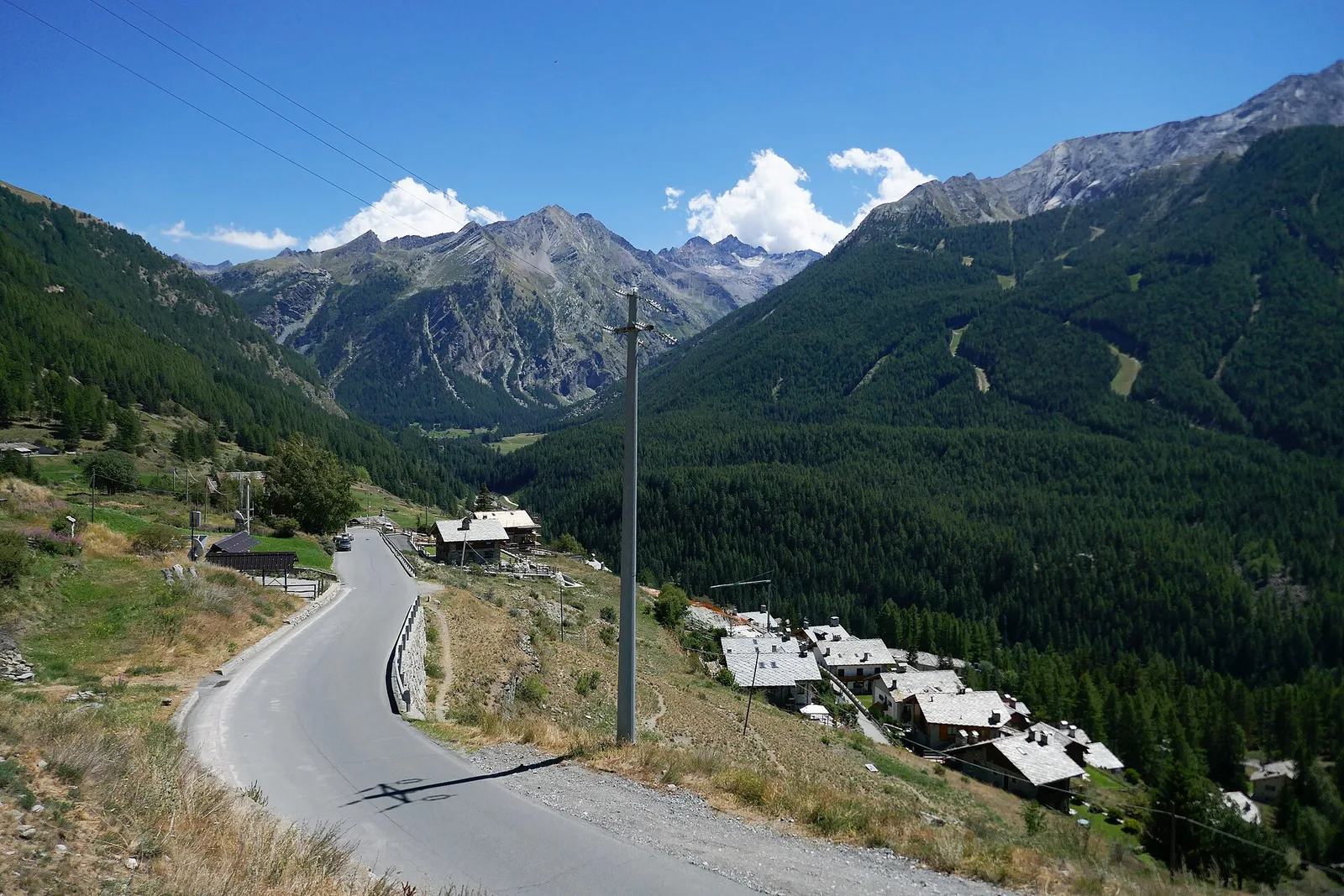
High-level traverse from Vedun (1519m) to Jovençan (1868m) in the Valdigne: 6 km through historic pastures with Mont Blanc as backdrop.
Valle centrale
2.1 km · +235 m · EE — from Vens to Col du Joux (Central Valley).
Valle centrale
0.7 km · +152 m · E — from Vens to Lac du Joux (Central Valley).
Valle centrale
1.9 km · +80 m · E — from Vetan dessus to Leytanettaz (St-Nicolas) (Central Valley).
Valle centrale
9 km · +1685 m · E — from Villair to Col de Licony (Central Valley).
Valle centrale
3.7 km · +616 m · E — from Vesey damon to Lac de Panaz (Central Valley).
Valle centrale
2.8 km · +530 m · E — from Visey damon to Col d'Arcomy (Central Valley).
Valle centrale
4.2 km · +632 m · E — from Voix to Champromenty (Central Valley).