Tour du Mont Blanc — Stage 4: Rifugio Elena → Col de la Seigne
12 km
+500 m
−50 m
4.5 h
Fitness level
~1095 kcal estimated
Elevation profile
Map & route
Connector stage between opposite flanks: there is no continuous walking trail. The map shows the start and end points and the official trail network.
Description
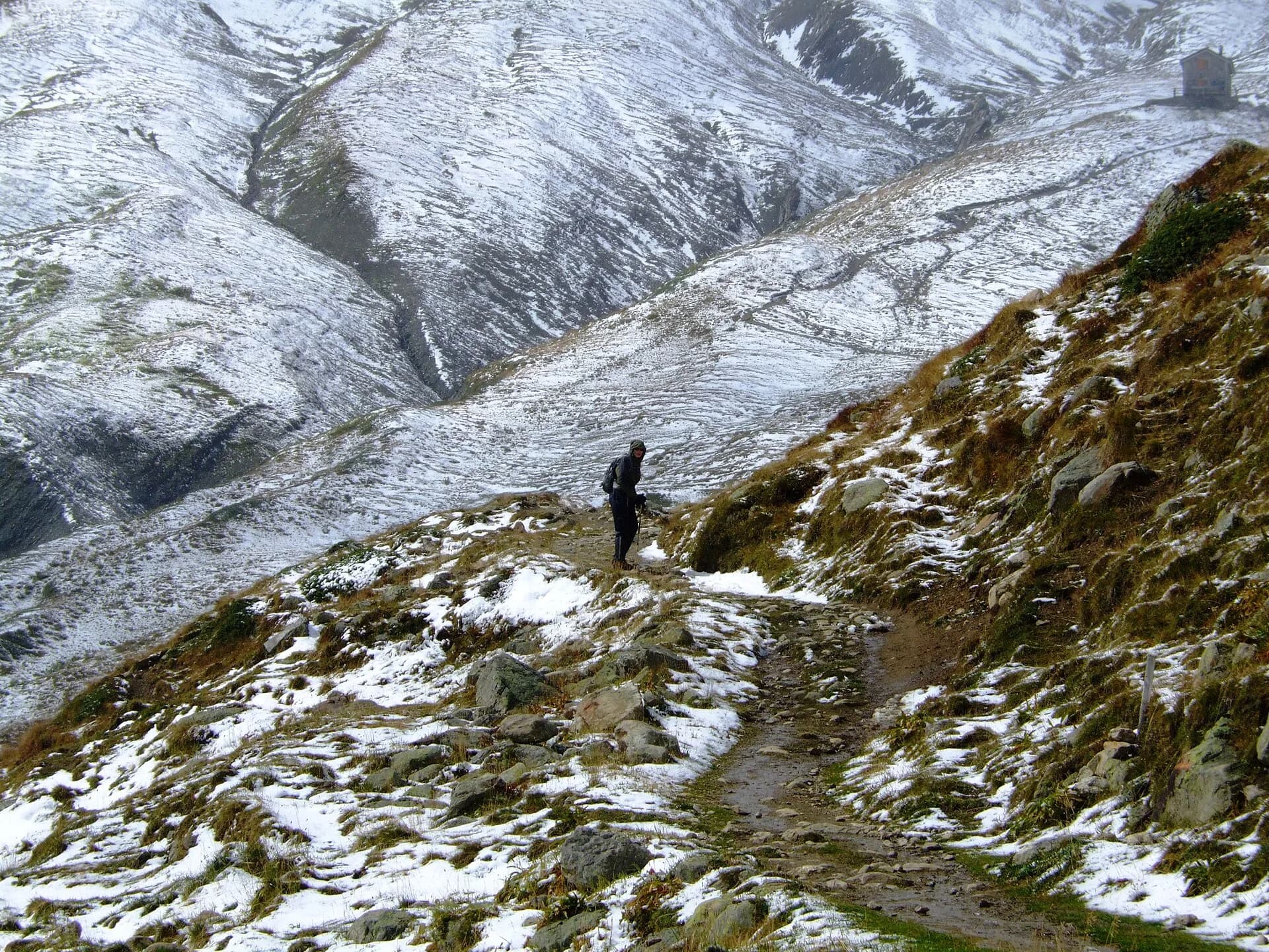
From Elena, climb to Col de la Seigne (2516 m), border pass toward Savoie and the rest of the TMB loop.
Key points
Col de la Seigne
2516 m · 12 km from start
Earth sciences
Geology & landscape
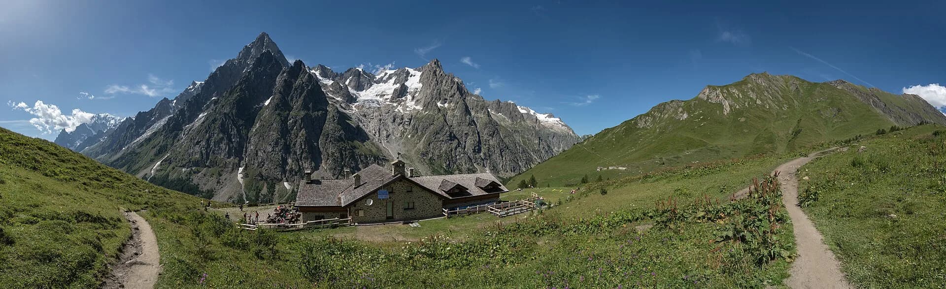
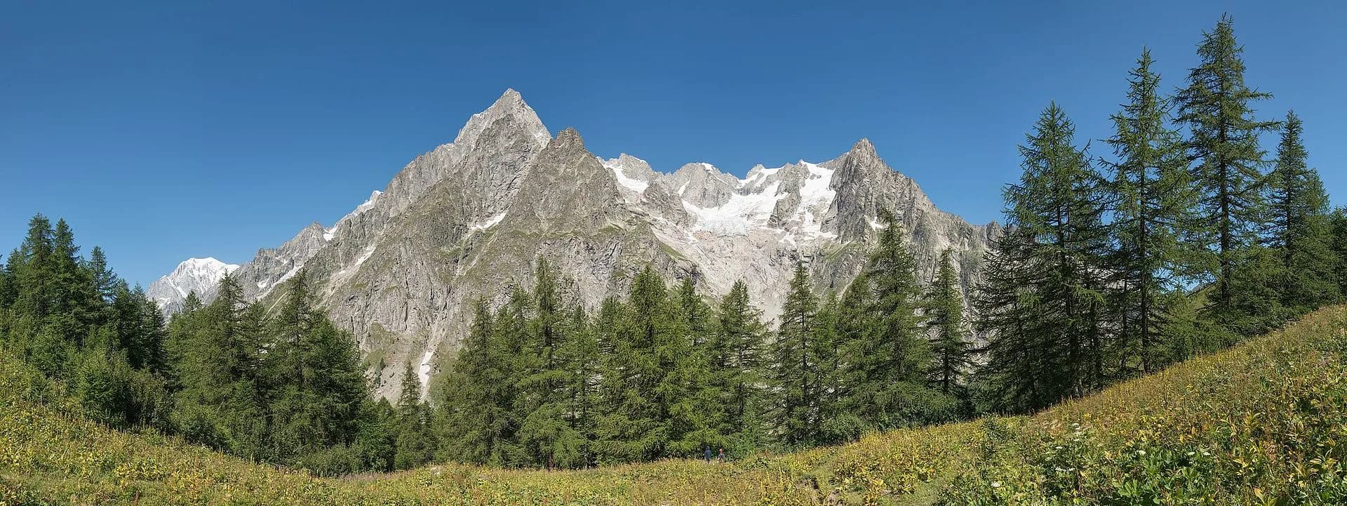
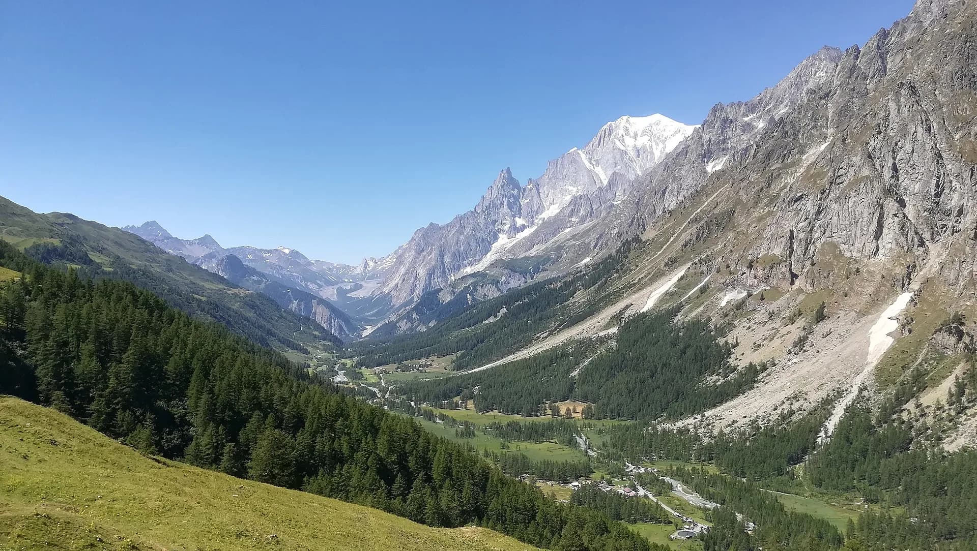
Mont Blanc hanging valley: gneiss, granites and Miage moraines; glaciological views of the Italian flank of the massif.
Water sources
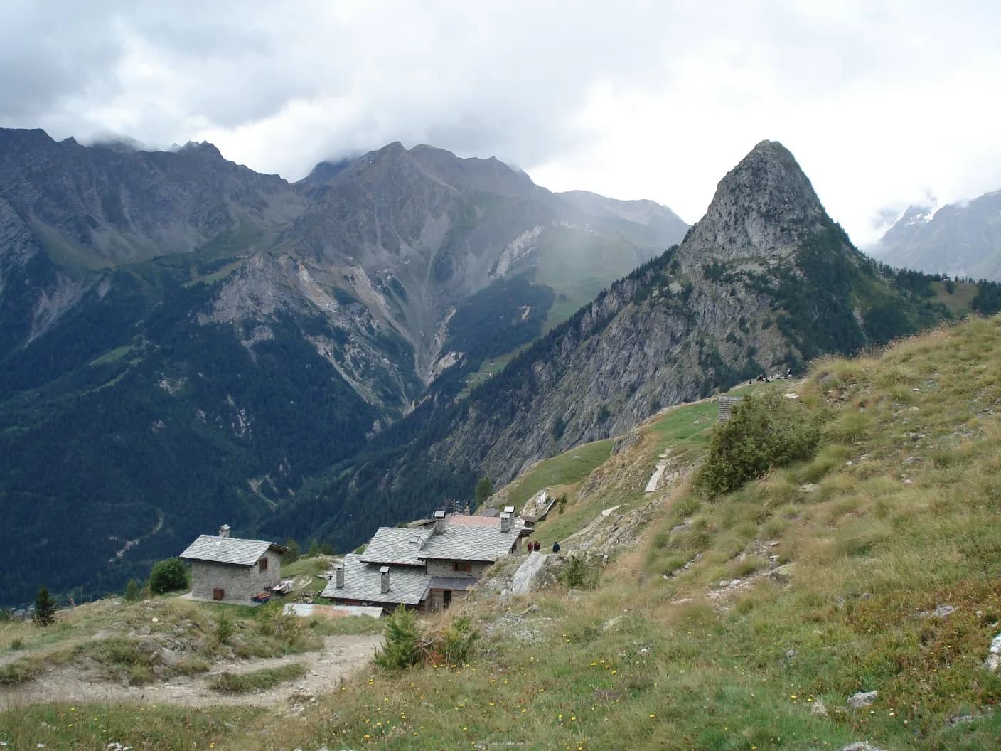
Bertone, Bonatti, Elena huts; Courmayeur with full services.
Getting there
VITA buses and connections from Aosta; check seasonal timetables at vita.it.
Parking
Parcheggi comunali nei paesi di valle; verificare limitazioni in alta stagione.
Warnings
- Check weather and residual snow early season
- Book huts in peak season
Nearby peaks
Start & end
Start
Rifugio Elena
2055 m
Finish
Col de la Seigne
2515 m
Refuges & bivouacs
Photo gallery
Flora along the trail
Adjacent stages
ACurated and verified by Andrea
Data source: Tour du Mont Blanc — tratto italiano Val Ferret · Dati itinerario da fonti ufficiali VdA
Last verified:
Val Ferret
Related trails
Same valley or similar routes — more hikes to explore.
Val Ferret
Tour du Mont Blanc — Stage 1: Courmayeur → Rifugio Bertone
First Italian TMB stage: climb to Rifugio Bertone above Courmayeur.
Val Ferret
Tour du Mont Blanc — Stage 2: Rifugio Bertone → Rifugio Bonatti
High traverse of Val Ferret to the famous Rifugio Bonatti.
Val Ferret
High Route 1 — Stage 16: Rifugio Frassati → Rifugio Bonatti via Col Malatrà
Col Malatrà at 2925 m is the rooftop of Alta Via 1: from the panoramic crest above Mont Blanc the trail descends into Val Ferret to the legendary Rifugio Walter Bonatti.
Val Ferret
High Route 1 — Stage 17: Rifugio Bonatti → Courmayeur
The final AV1 stage: the Val Ferret balcony trail with Mont Blanc and Grandes Jorasses always in sight, ending at Courmayeur, Italy's alpine capital.