
E
Valtournenche
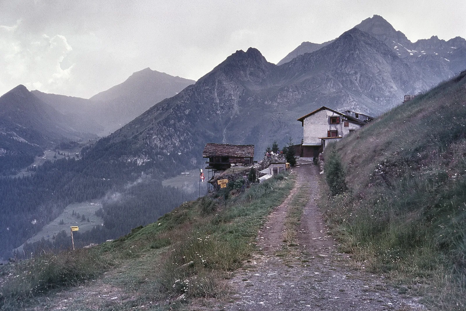
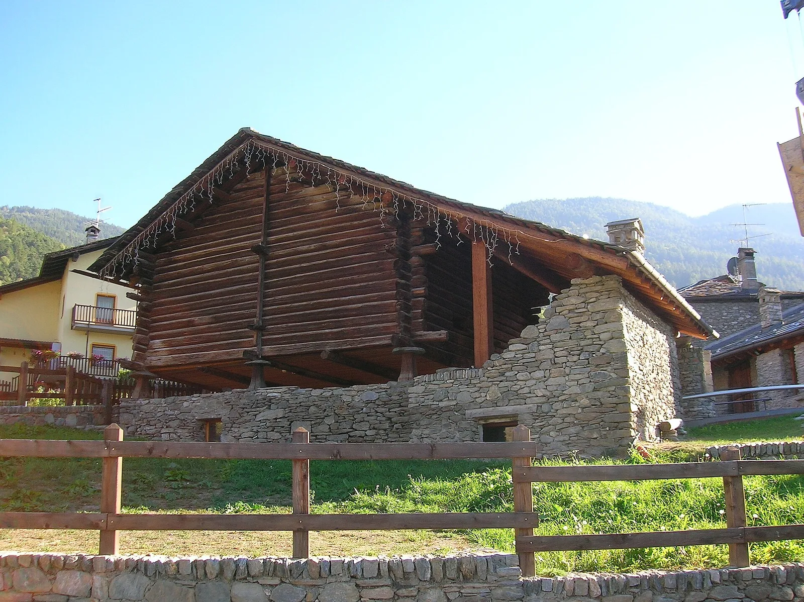
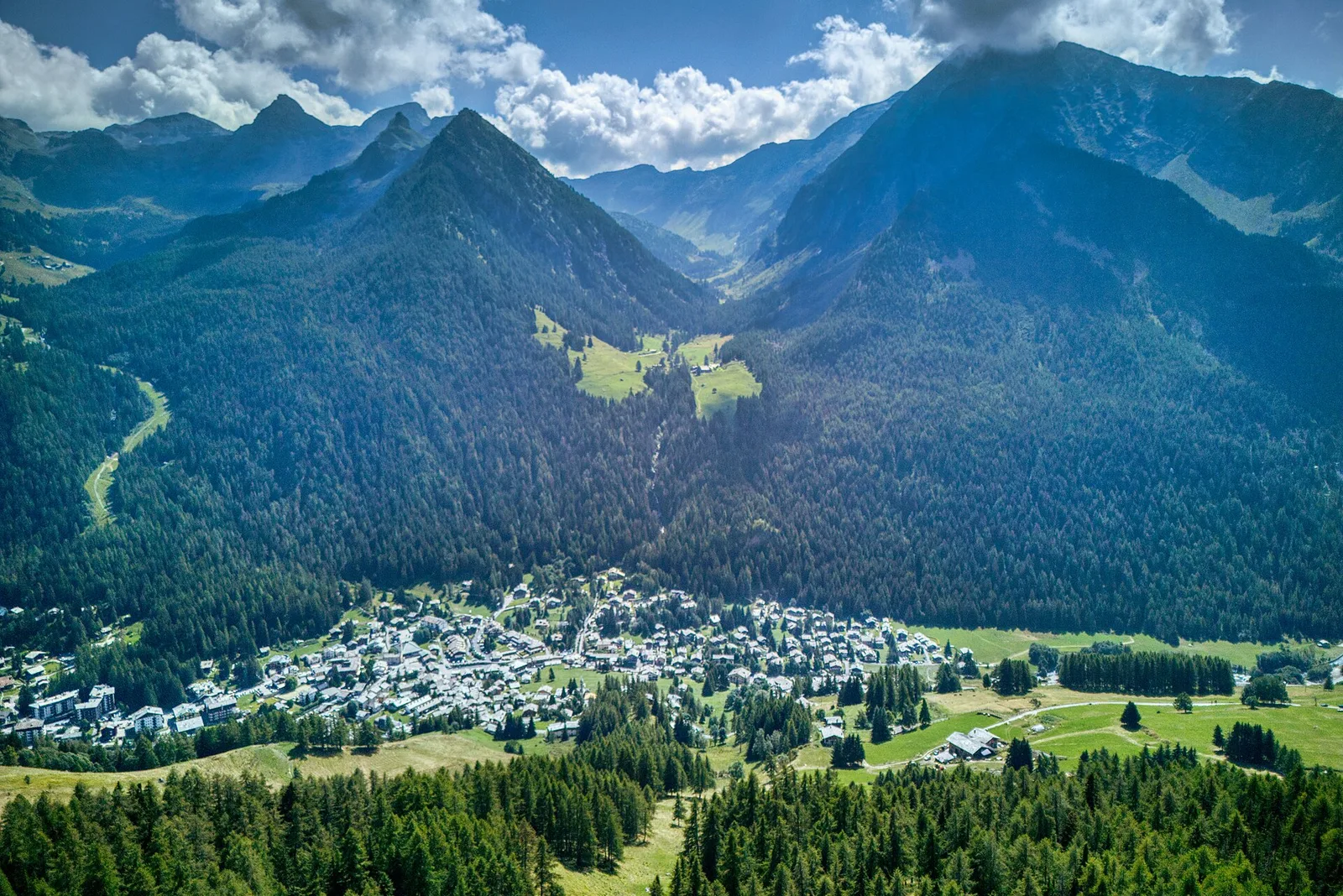
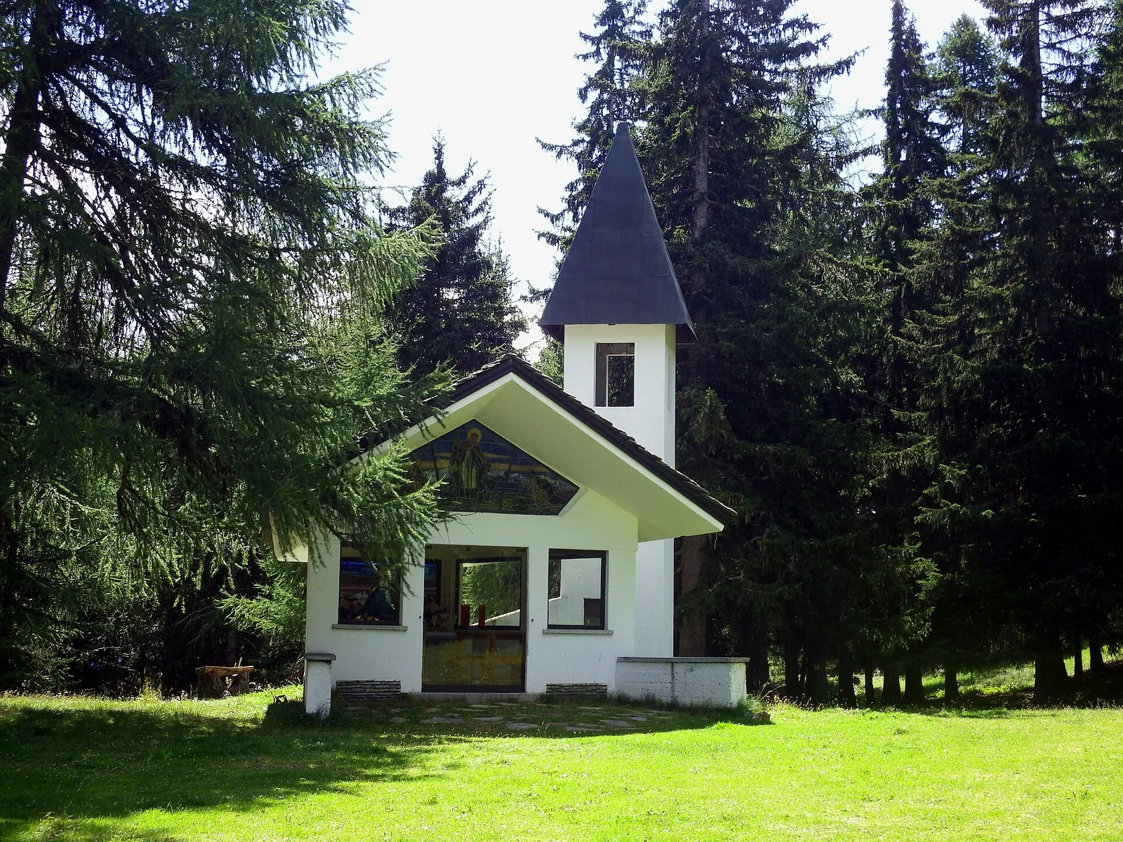
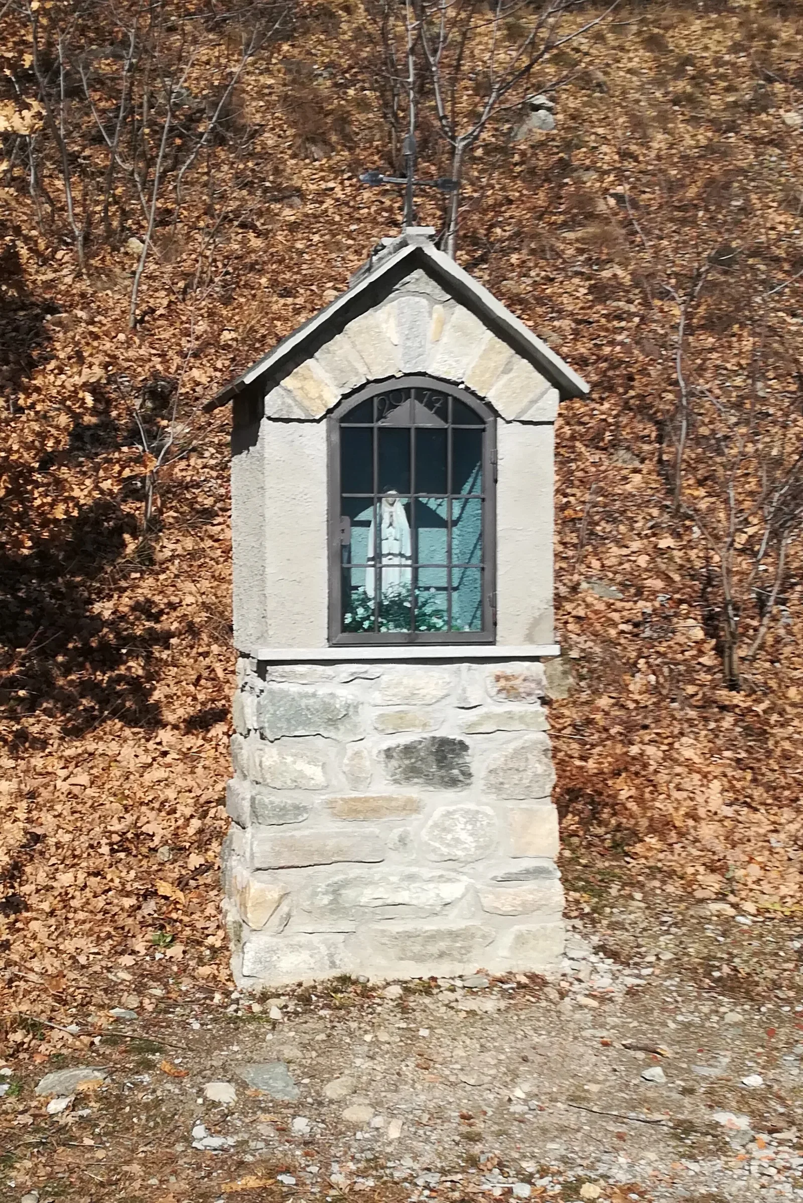
Anello di Champlève
1.9 km · +140 m · E — from Champlève to Champlève (Central Valley).
1.9 km+140 m1 h
Where to spot
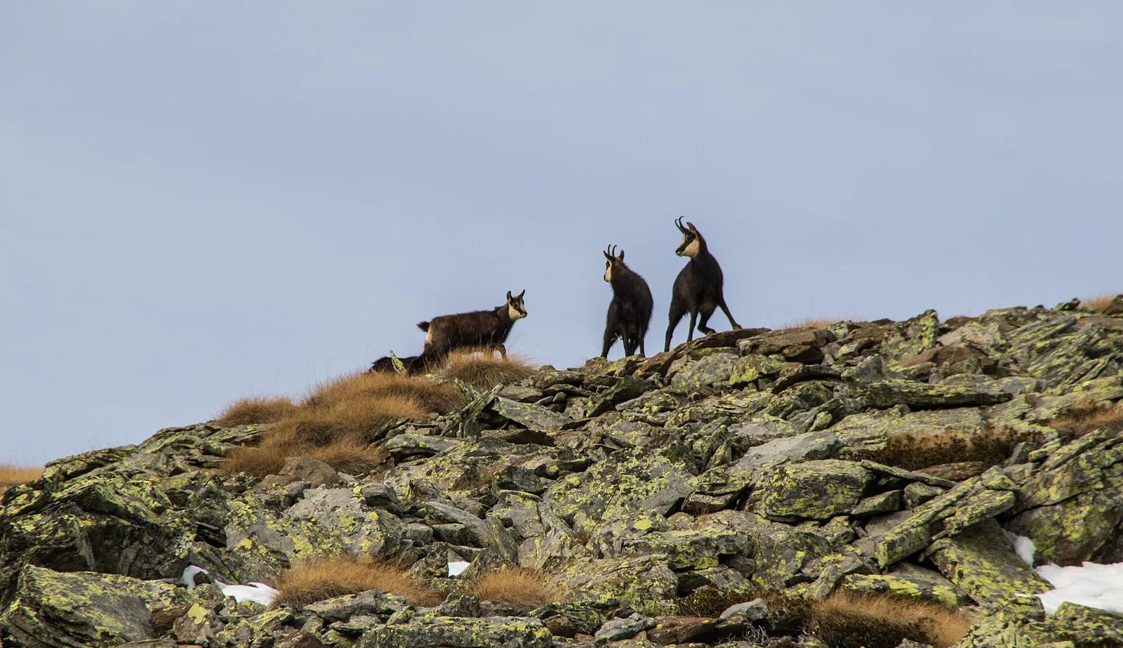
55 trails where Bank vole is listed in flora/fauna: difficulty T–EE, elevation gain 0–1466 m.
55 · 0.5–18.7 km · +0–1466 m
Valtournenche
1.9 km · +140 m · E — from Champlève to Champlève (Central Valley).

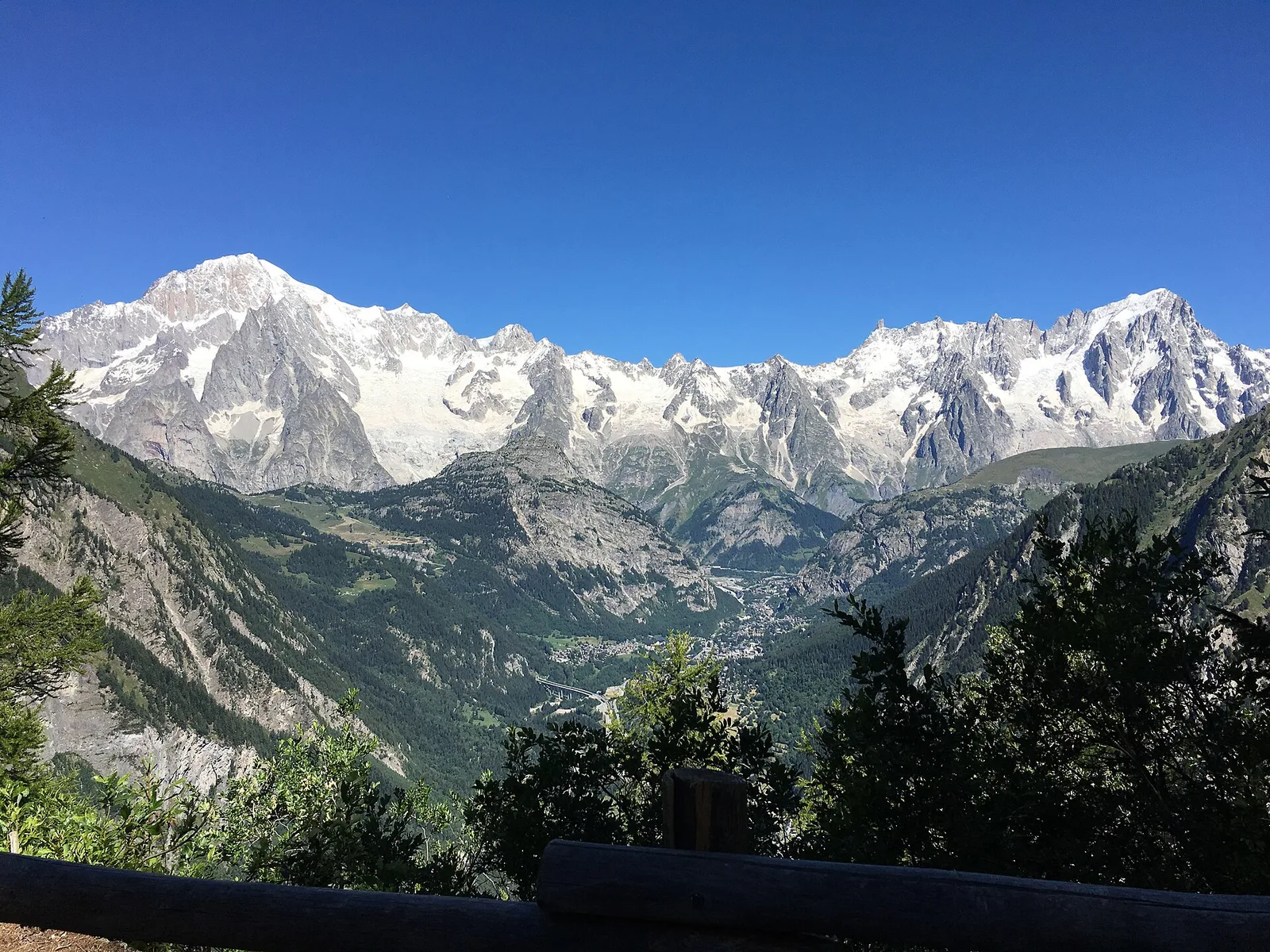
Valpelline
Upper Valpelline, Bionaz: an E-rated route toward a glacial objective over open terrain.
Val d'Ayas
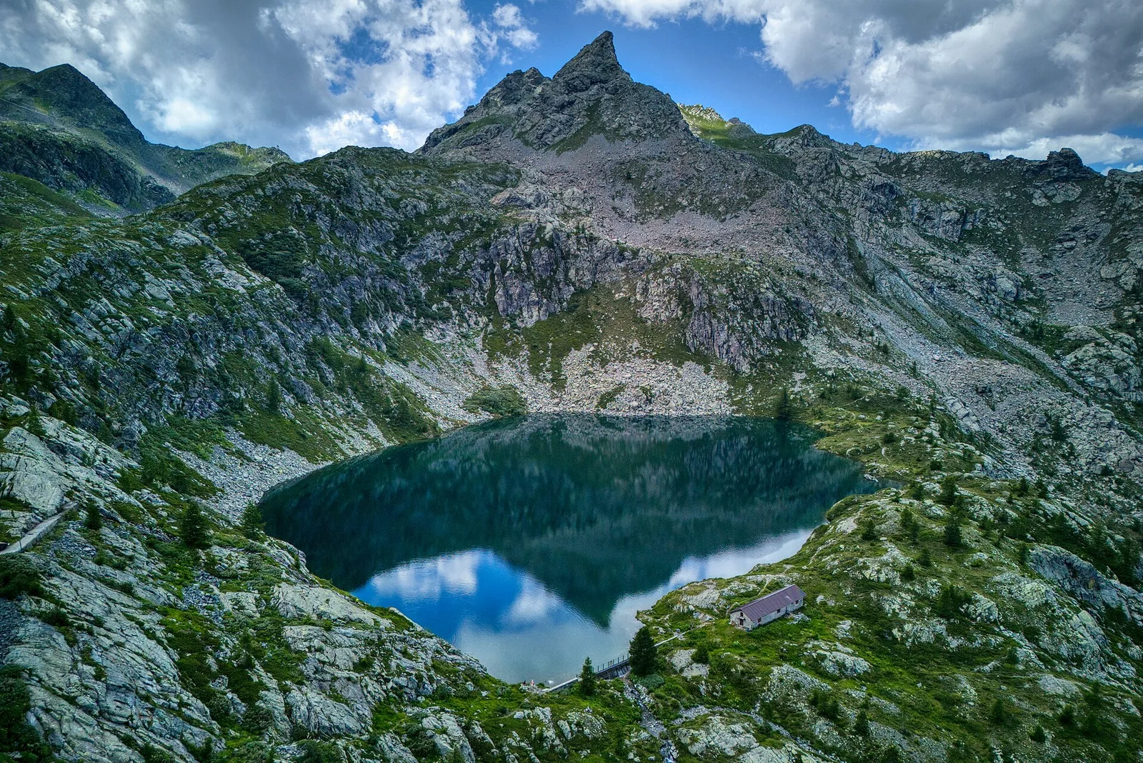
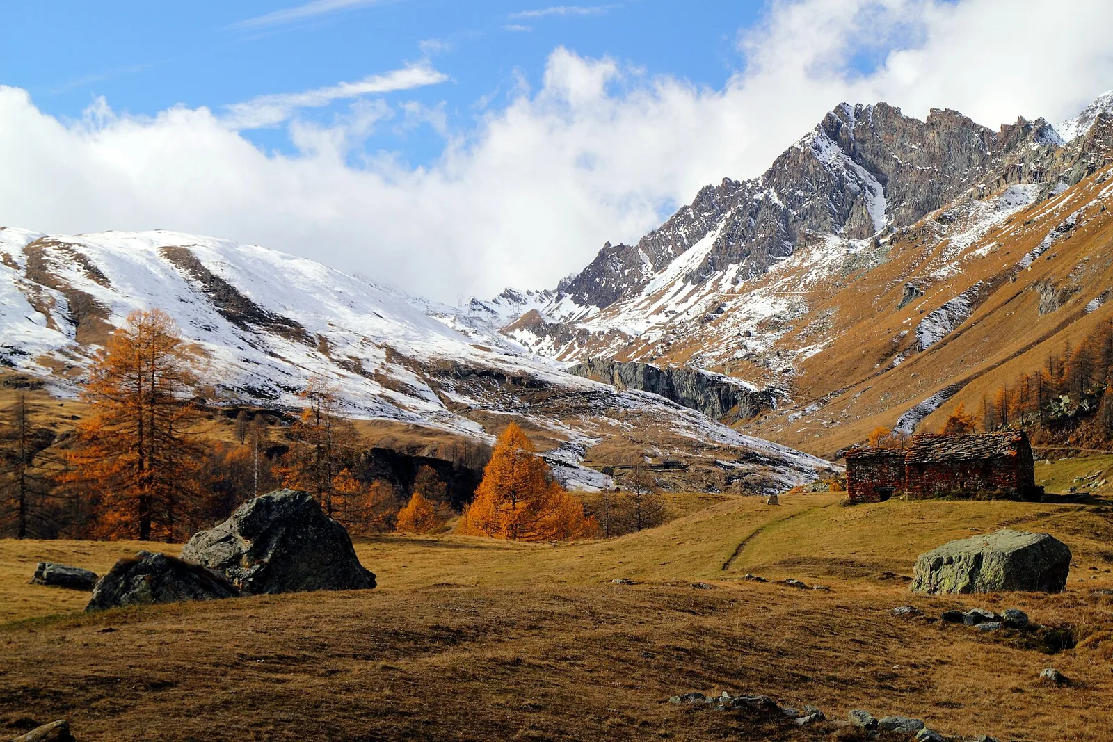
From Blanchard to the Lago Blu of Ayas (trail 7): 4.2 km, +575 m, E. The pool that mirrors Monte Rosa.
Valtournenche
3.1 km · +220 m · E — from Chamois to Col Pilaz (Central Valley).
Val di Rhêmes
1.8 km · +74 m · T — from Chanavey to Bruil, Foyer de Fond (Great St Bernard Valley).
Valtournenche
1.3 km · +176 m · E — from Chaté to Musée Petit Monde (Tiatel) (Valpelline).
Valle centrale
4.2 km · +243 m · E — from Chavonne to Pondel (Aymavilles) (Central Valley).
Valle centrale
1.8 km · +219 m · E — from Cossèi to Belvedere Tsan (Lys Valley).
Bassa Valle
3.6 km · +909 m · E — from Croce della Missione to Gias Desot (Valtournenche).
Valle di Champorcher
2.9 km · +832 m · EE — from Dublanc to Tete du Mont (Champorcher Valley).
Val d'Ayas
0.9 km · +120 m · E — from Erésaz to Ravet (Great St Bernard Valley).

Valle centrale
1.4 km · +164 m · E — from Feilley to Moron (Valtournenche).
Valle centrale
1.5 km · +313 m · E — from Fossaz to Fournaise (Central Valley).
Valle centrale
0.6 km · +46 m · E — from Gerbore to Vetan (Central Valley).
Valle centrale
2.7 km · +0 m · E — from Gignod to Ru Bourgeois - Cré (Central Valley).
Val di Cogne
3.1 km · +95 m · E — from Gimillan to Tsavanis (Lys Valley).
Valle del Lys
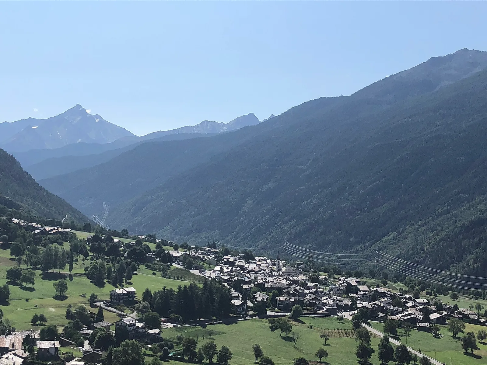
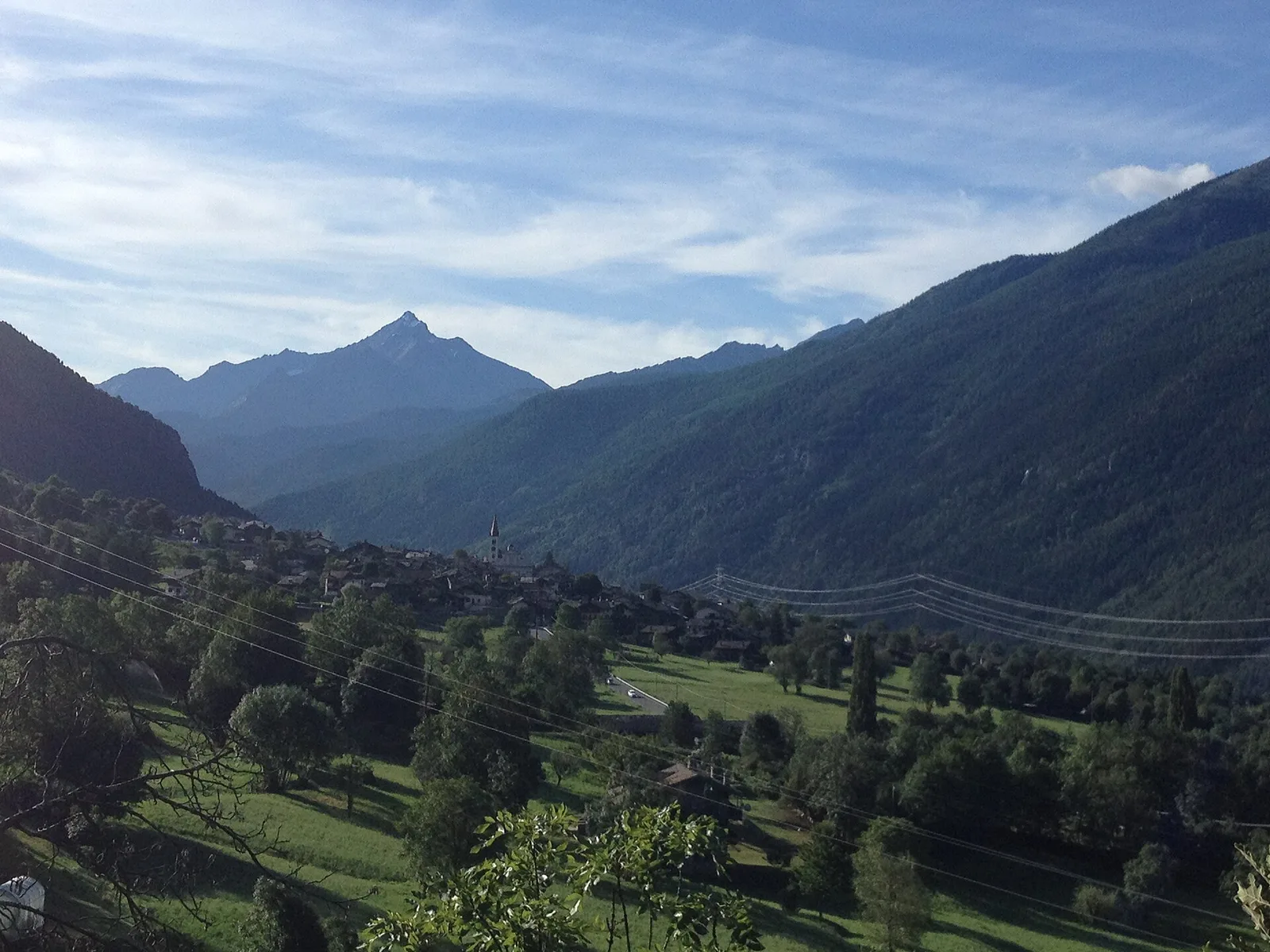
In the commune of Brusson, Val d'Ayas: an E-rated route among hamlets and pastures with characteristic valley views.
Val d'Ayas
4.4 km · +110 m · T — from Col di Joux to Col Tzecore (Valtournenche).
Val Ferret
3.1 km · +774 m · E — from La Palud to Pavillon (Great St Bernard Valley).
Val d'Ayas
3.6 km · +312 m · E — from Bivio lago to Bivio lago (Ayas Valley).
Valle centrale
In the Valgrisenche, Arvier: a steady E-rated climb through forest and meadows toward upper pastures.
Valtournenche
1 km · +245 m · E — from Lies to Bosco di protezione (Valtournenche).
Valle del Lys
2.8 km · +802 m · E — from Lihrla to Alpe Grignatz (Great St Bernard Valley).
Valpelline
0.5 km · +135 m · E — from Località Champette to innesto sentiero 6 A (Valtournenche).
Valle centrale
8 km · +1466 m · E — from Miserègne to Ponton (Lys Valley).
Valtournenche
3.7 km · +759 m · E — from Moulin Dessous to Cortinaz Damon (Central Valley).
Valle centrale
2 km · +461 m · E — from Moulin to Gorettaz (Lys Valley).
Valle del Lys
3.7 km · +790 m · E — from Nantay to Ruine damon (Central Valley).
Valle centrale
8.2 km · +1324 m · E — from Nus to Issologne (Valpelline).
Valle del Lys
4.8 km · +786 m · E — from Onderwoald to Col Ranzola (Champorcher Valley).
Valle di Champorcher
5.5 km · +892 m · E — from Outre l'Eve to Pian Ciampaney (Valtournenche).
Valle centrale
1.8 km · +355 m · E — from Pingaz to Novellioz (Valtournenche).
Valle centrale
4.4 km · +0 m · E — from Pré-Saint-Didier to Morgex (Rhêmes Valley).
Valtournenche
4.8 km · +166 m · E — from Prelaz to Col des Bornes (Valsavarenche).
Valtournenche
3.1 km · +199 m · E — from Promiod to Brengon (Valdigne).
Valle centrale
5.4 km · +881 m · E — from Chabodey to Promoud (La Thuile).
Valle centrale
In the lower Val d'Ayas, Challand-Saint-Victor: an E-rated climb through vineyards, forest and terraced land toward historic hamlets.
Valle centrale
1.6 km · +202 m · E — from Remiod (Rumiod) to Grand Sarriod (Central Valley).
Valle centrale
3 km · +715 m · E — from Robbio to Grand Bellalanaz (Lys Valley).
Val d'Ayas
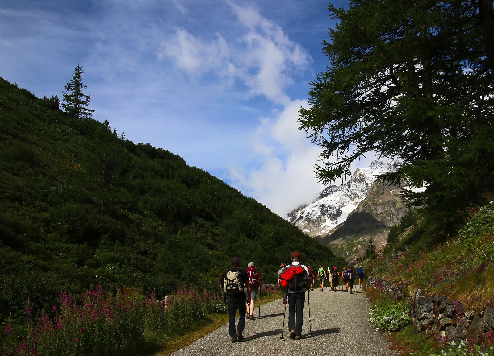
In the Val d'Ayas, Ayas: a steady E-rated climb toward high altitude with views of Monte Rosa.
Valtournenche
1.8 km · +14 m · E — from Confine comunale to Confine comunale (Central Valley).
Val d'Ayas
1.4 km · +0 m · E — from Paysan to Casa fine poderale 29 (Ayas Valley).
Valle centrale
2.4 km · +263 m · E — from Runaz to Rochefort (Valdigne).
Bassa Valle
2.9 km · +391 m · E — from Poline desot to Ronchas (Central Valley).
Valle di Champorcher
6.4 km · +967 m · E — from Strada Dondena to Parcheggio Dondena (Valtournenche).
Valle del Lys
3.5 km · +723 m · E — from Strada per Tschalvrino to Col Ranzola (Champorcher Valley).
Valtournenche
4.7 km · +747 m · E — from Capoluogo to Rifugio Barmasse (Central Valley).
Valle centrale
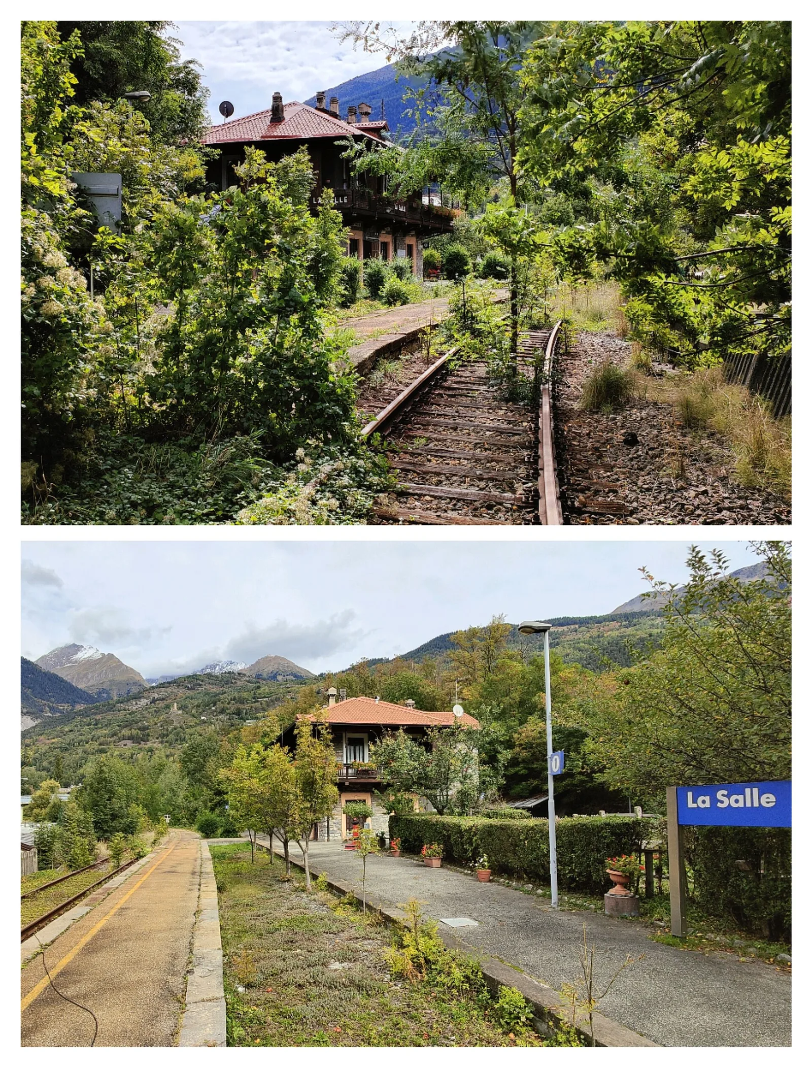
18.7 km · +0 m · E — from Vetan to La Salle (Central Valley).
Val di Cogne
In the Val di Cogne, Aymavilles: an E-rated climb through forest and alpine pastures in the Gran Paradiso National Park.
Valtournenche
17.4 km · +680 m · T — from Plan Porion to Plan Porion (Valpelline).
Valle di Champorcher
7 km · +910 m · E — from Veulla to Rifugio Barbustel (Central Valley).
Valle centrale
3.9 km · +713 m · E — from Veynes to Valtolanaz (Central Valley).
Valle centrale
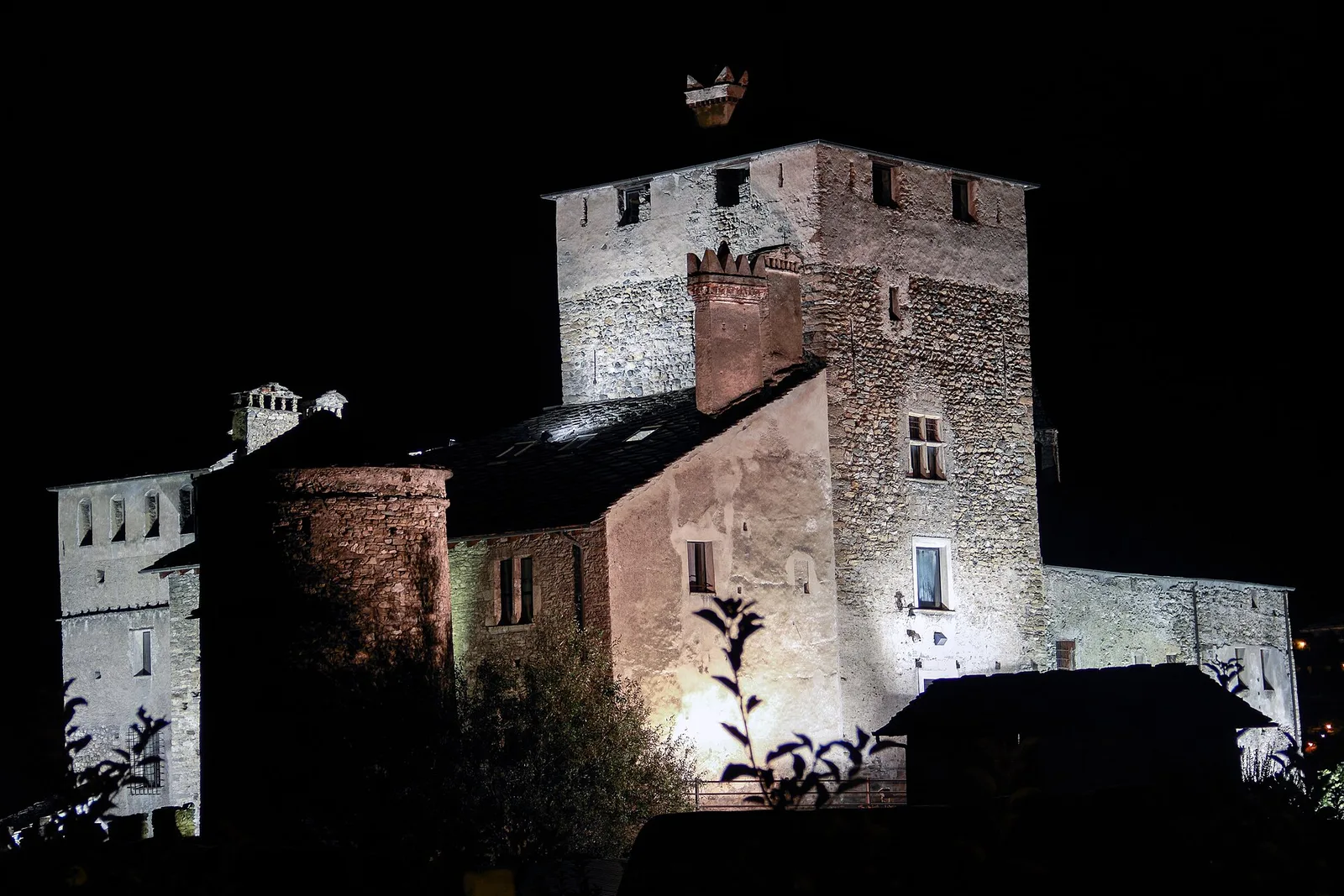
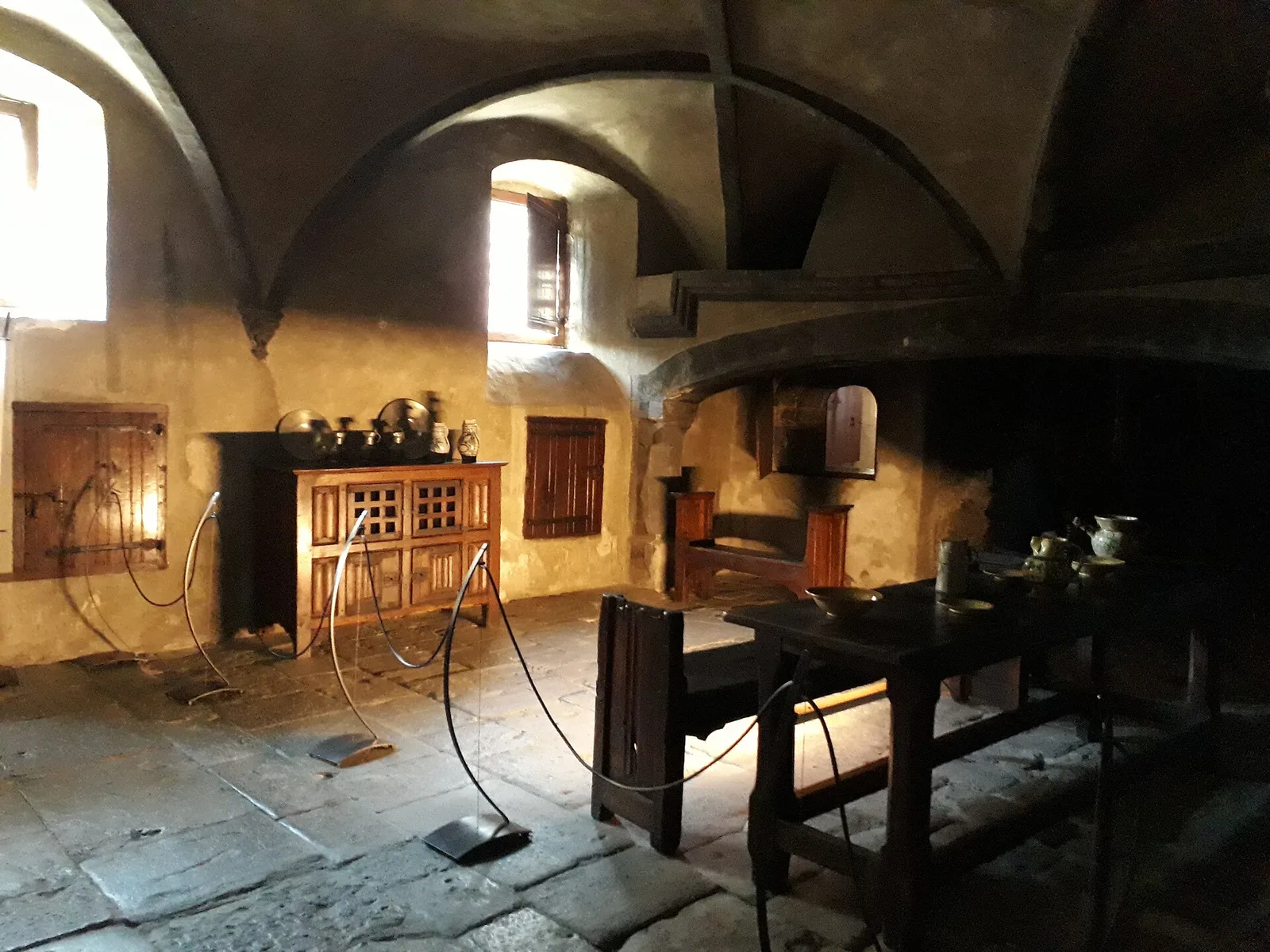
2.4 km · +196 m · E — from Villair to Château de Châtelard (Central Valley).
Valle centrale
1.4 km · +174 m · E — from Villair to Château de Châtelard (Central Valley).
Val Veny
3.2 km · +366 m · E — from Visaille to Lago del Miage (Great St Bernard Valley).