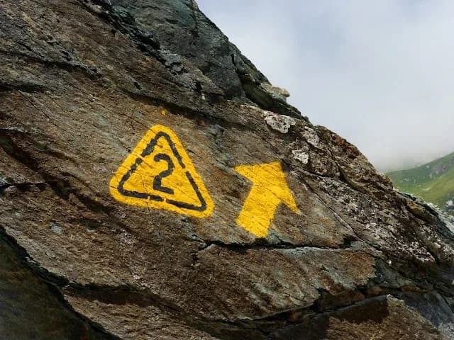
High Route 2 — Naturalistica
Courmayeur → Donnas (southern flank, right orographic bank)
~168 km
~12,000 m+
14 stages
12–14 days
If High Route 1 is the way of the giants, High Route 2 is the 'Way of the Chamois': wilder, higher, more solitary. It runs along the right side of the valley, in and around the Gran Paradiso National Park, where ibex and chamois graze undisturbed and the glaciers descend to the trails. From Courmayeur, beneath Mont Blanc, to Donnas: a traverse through the wild heart of the Aosta Valley.
High Route 2 runs on average higher than its sister, with passes that brush and exceed three thousand metres and stages that enter the Gran Paradiso National Park, Italy's oldest (1922). It is the realm of large alpine wildlife: encounters with ibex and chamois are almost guaranteed, especially at dawn and dusk. Precisely because it crosses the protected area, specific park rules apply on many stages — including a ban on dogs — designed to safeguard a fragile and unique ecosystem.
The difficulty is hiking grade (E/EE), with a few more technical sections at altitude: its length, high average elevation and high-mountain setting make it slightly more demanding than High Route 1. The ideal window is July to September. Here too you can tackle the whole traverse self-sufficiently, relying on the refuges, or savour single stages as wide-ranging day hikes.
Below you'll find all the official stages in order, each with its own page: distance, height gain, difficulty, GPX track and map. Choose where to begin.
AV2 · 14 stages
All stages
 01E🇮🇹
01E🇮🇹Stage 1
High Route 2 — Stage 1: Courmayeur → Rifugio Elisabetta Soldini
Courmayeur → Rifugio Elisabetta Soldini
First stage of AV2: from Courmayeur to Rifugio Elisabetta in Val Veny, at the foot of Mont Blanc.
15 km+1406 mOpen 02E🇮🇹
02E🇮🇹Stage 2
High Route 2 — Stage 2: Rifugio Elisabetta Soldini → La Thuile
Rifugio Elisabetta Soldini → La Thuile
Descent from Col des Chavannes to La Thuile across pastures and the La Thuile valley.
12 km+456 mOpen 03E🇮🇹
03E🇮🇹Stage 3
High Route 2 — Stage 3: La Thuile → Promoud
La Thuile → Promoud
Climb to Rifugio Deffeyes and Promoud bivouac in the Rutor valley.
16 km+1428 mOpen 04E🇮🇹
04E🇮🇹Stage 4
High Route 2 — Stage 4: Promoud → Planaval
Promoud → Planaval
Cross Col de la Crosatie and descend toward Planaval in Valgrisenche.
14 km+810 mOpen 05E🇮🇹
05E🇮🇹Stage 5
High Route 2 — Stage 5: Planaval → Rifugio Chalet de l'Épée
Planaval → Rifugio Chalet de l'Épée
Cross Valgrisenche to Rifugio Chalet de l'Épée.
12 km+915 mOpen 06E🇮🇹
06E🇮🇹Stage 6
High Route 2 — Stage 6: Rifugio Chalet de l'Épée → Rhêmes-Notre-Dame
Rifugio Chalet de l'Épée → Rhêmes-Notre-Dame
Descent from Col Fenêtre to Val di Rhêmes and Rhêmes-Notre-Dame.
10 km+475 mOpen 07E🇮🇹
07E🇮🇹Stage 7
High Route 2 — Stage 7: Rhêmes-Notre-Dame → Eaux-Rousses
Rhêmes-Notre-Dame → Eaux-Rousses
Iconic AV2 stage: Col Entrelor, Lake Djouan and descent to Eaux-Rousses.
16 km+1281 mOpen 08EE🇮🇹
Stage 8
High Route 2 — Stage 8: Eaux-Rousses → Rifugio Vittorio Sella
Eaux-Rousses → Rifugio Vittorio Sella
Highest stage on VdA High Routes: Col du Loson (3296 m) and Rifugio Vittorio Sella.
16 km+1644 mOpen 09E🇮🇹
09E🇮🇹Stage 9
High Route 2 — Stage 9: Rifugio Vittorio Sella → Cogne
Rifugio Vittorio Sella → Cogne
Scenic descent from Vittorio Sella to Cogne via Valnontey.
8 km+0 mOpen 10E🇮🇹
10E🇮🇹Stage 10
High Route 2 — Stage 10: Cogne → Rifugio Sogno di Berdzé
Cogne → Rifugio Sogno di Berdzé
Climb from Cogne centre to Rifugio Sogno di Berdzé at Péradzà.
12 km+1100 mOpen 11E🇮🇹
11E🇮🇹Stage 11
High Route 2 — Stage 11: Rifugio Sogno di Berdzé → Rifugio Dondena
Rifugio Sogno di Berdzé → Rifugio Dondena
Cross Fenêtre de Champorcher and Lake Misérin to Dondena.
7 km+301 mOpen 12E🇮🇹
12E🇮🇹Stage 12
High Route 2 — Stage 12: Rifugio Dondena → Champorcher
Rifugio Dondena → Champorcher
Descent along the «Scaletta» trail to Champorcher village.
6 km+0 mOpen 13EE🇮🇹
Stage 13
High Route 2 — Stage 13: Champorcher → Crest
Champorcher → Crest
Long stage to Crest-Damon with climb to Colle della Fricolla.
18 km+1254 mOpen 14E🇮🇹
14E🇮🇹Stage 14
High Route 2 — Stage 14: Crest → Donnas
Crest → Donnas
Final AV2 stage: from Retempio sanctuary to Donnas in the valley floor.
18 km+980 mOpen