
T
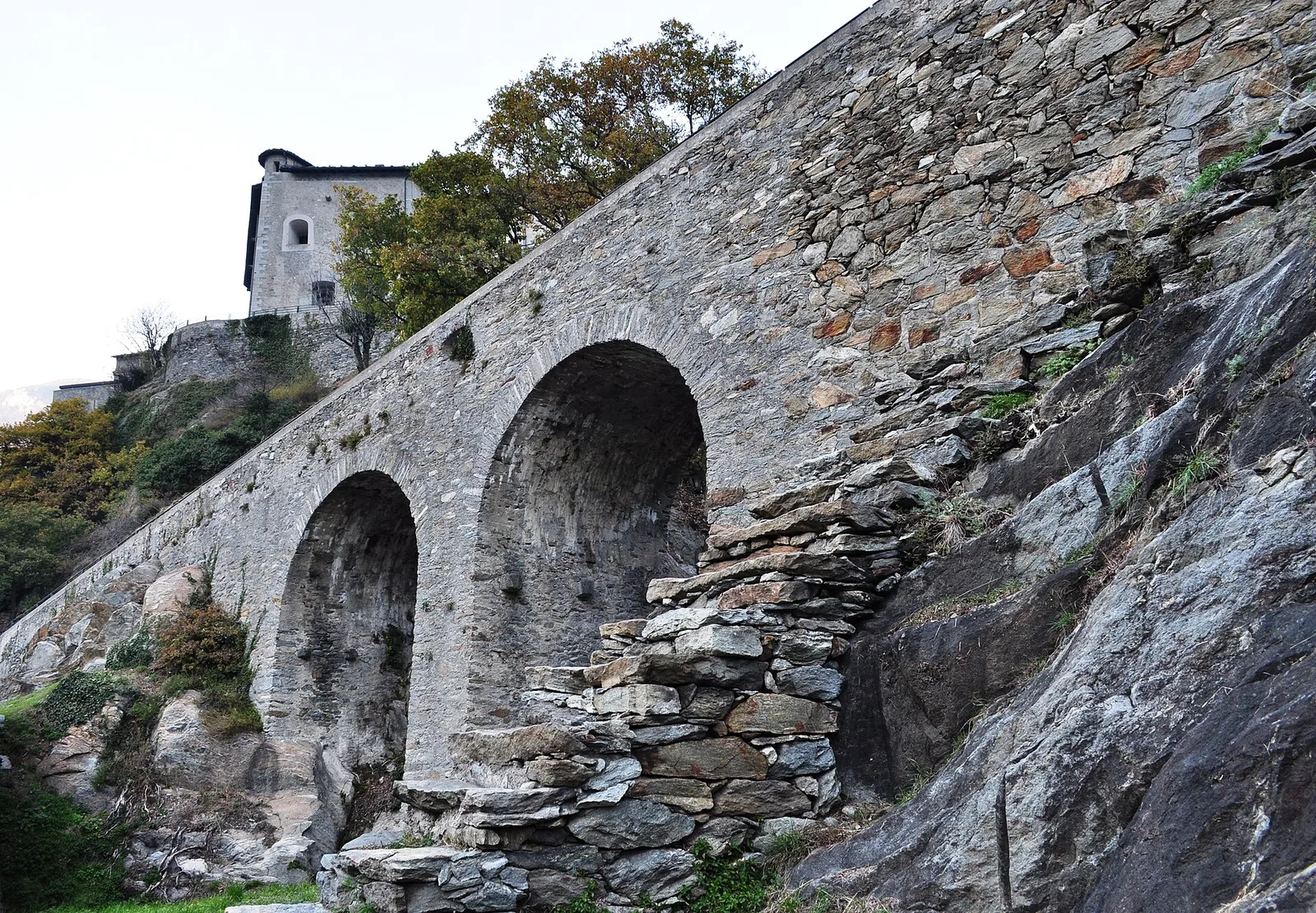
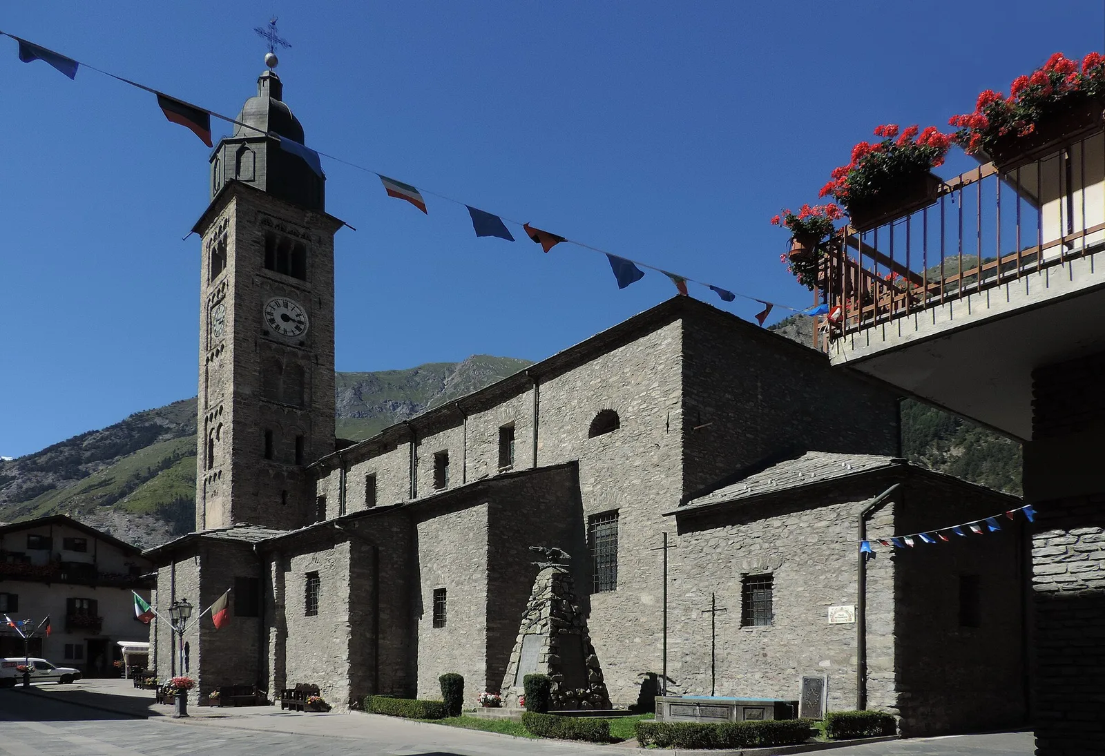
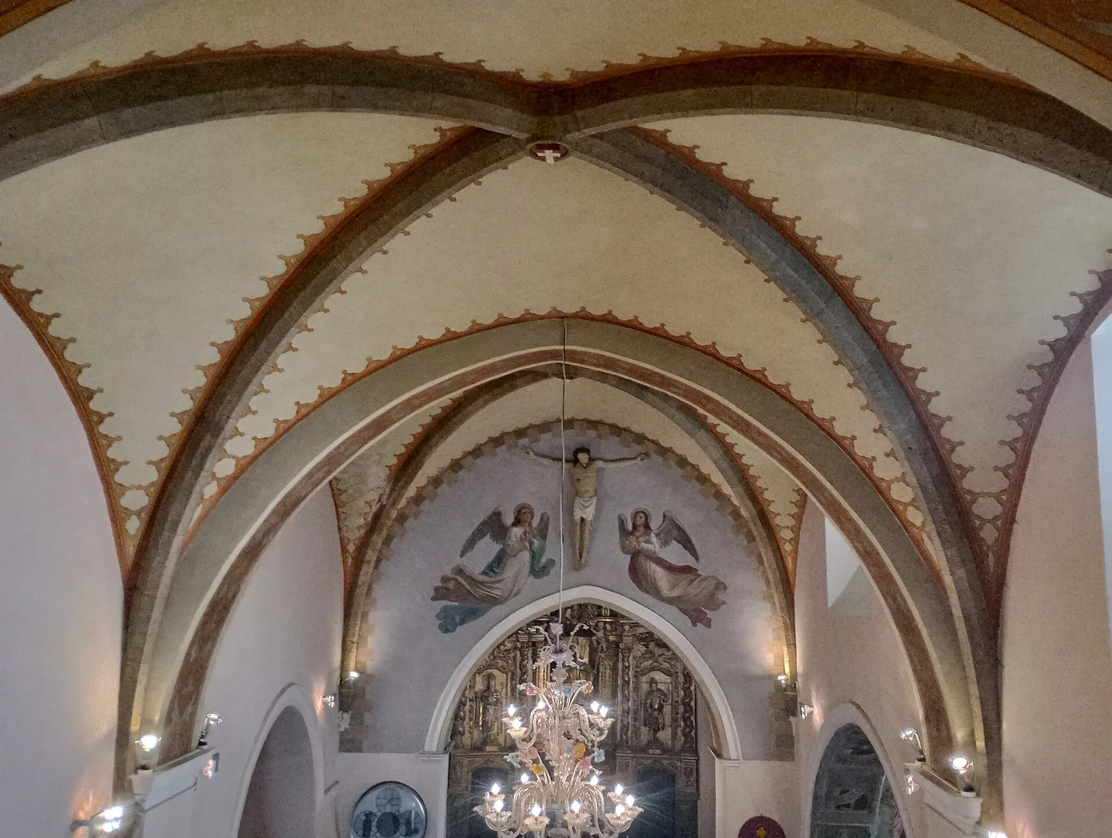
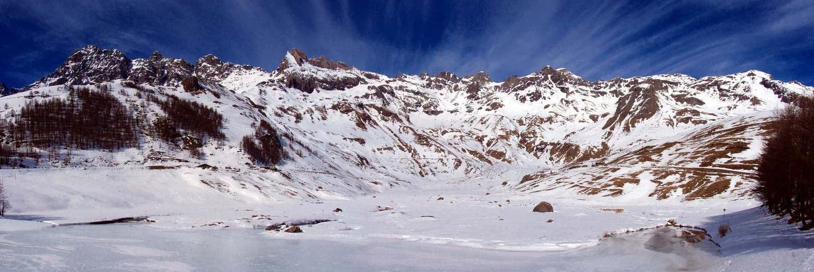
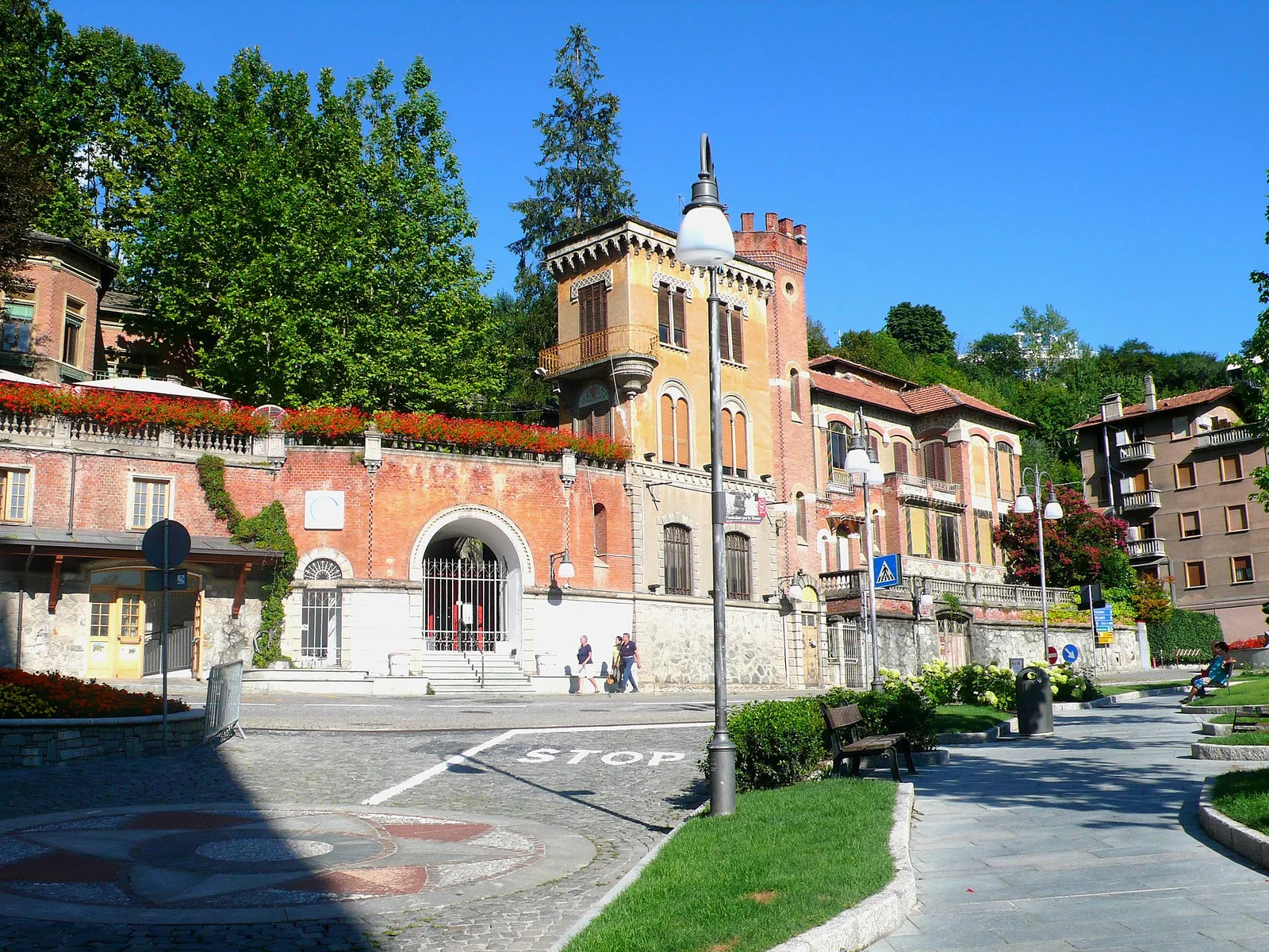
Valtournenche
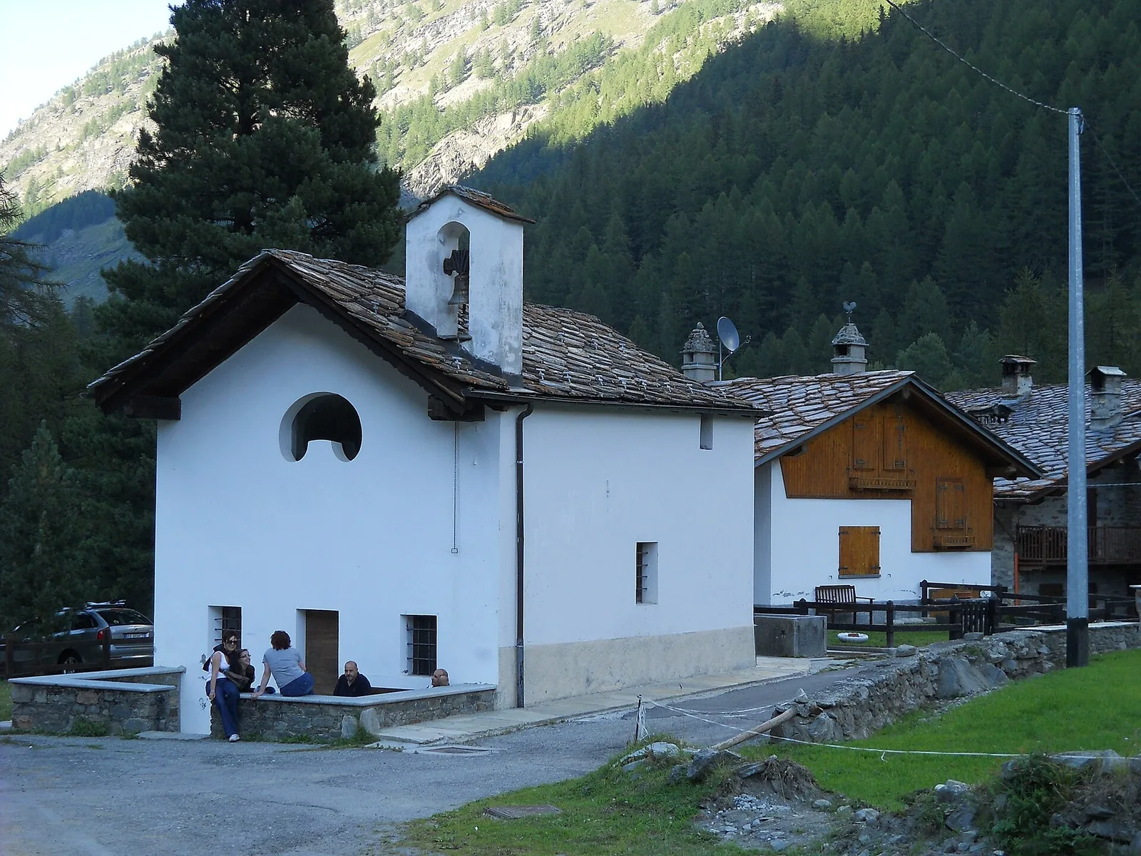
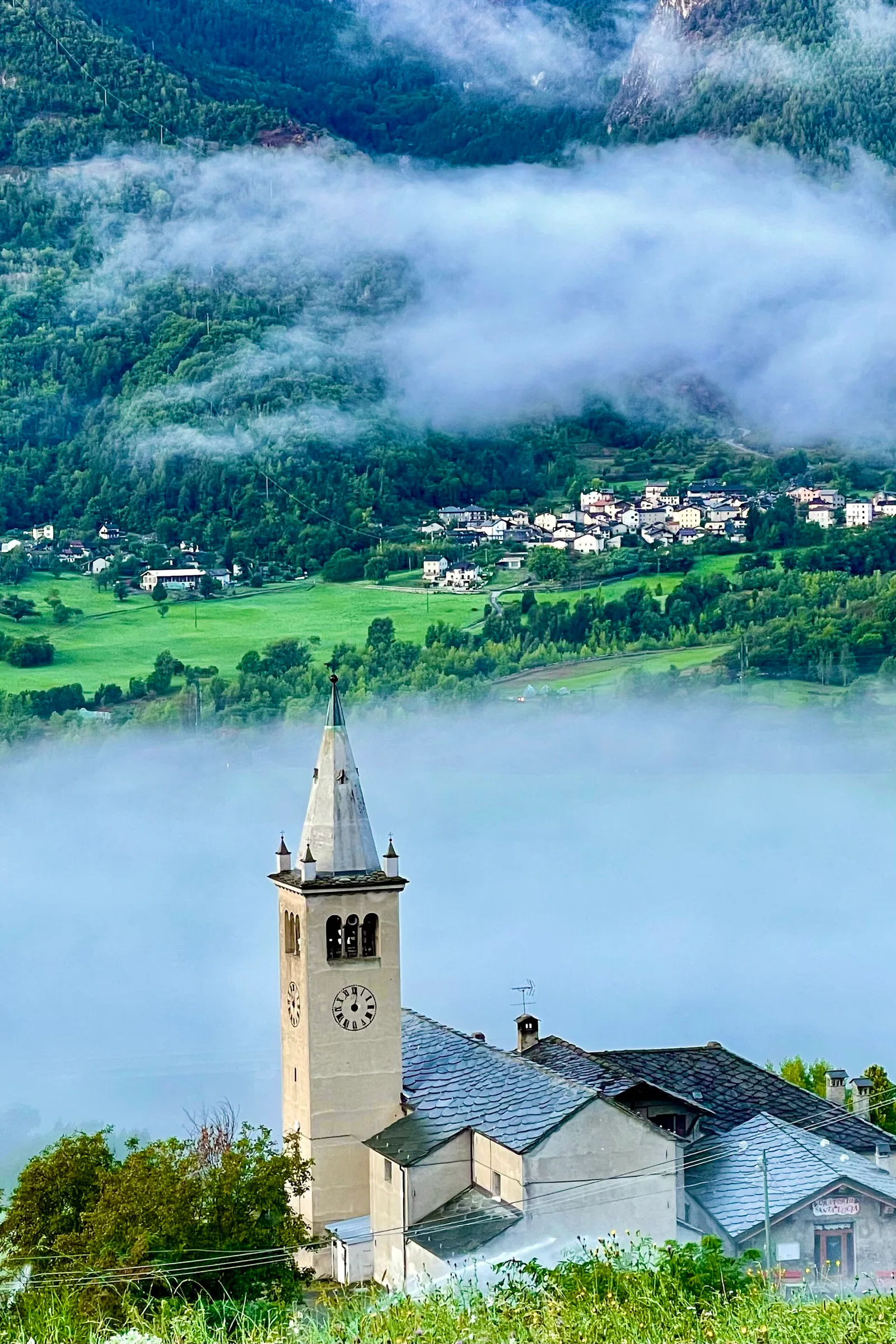
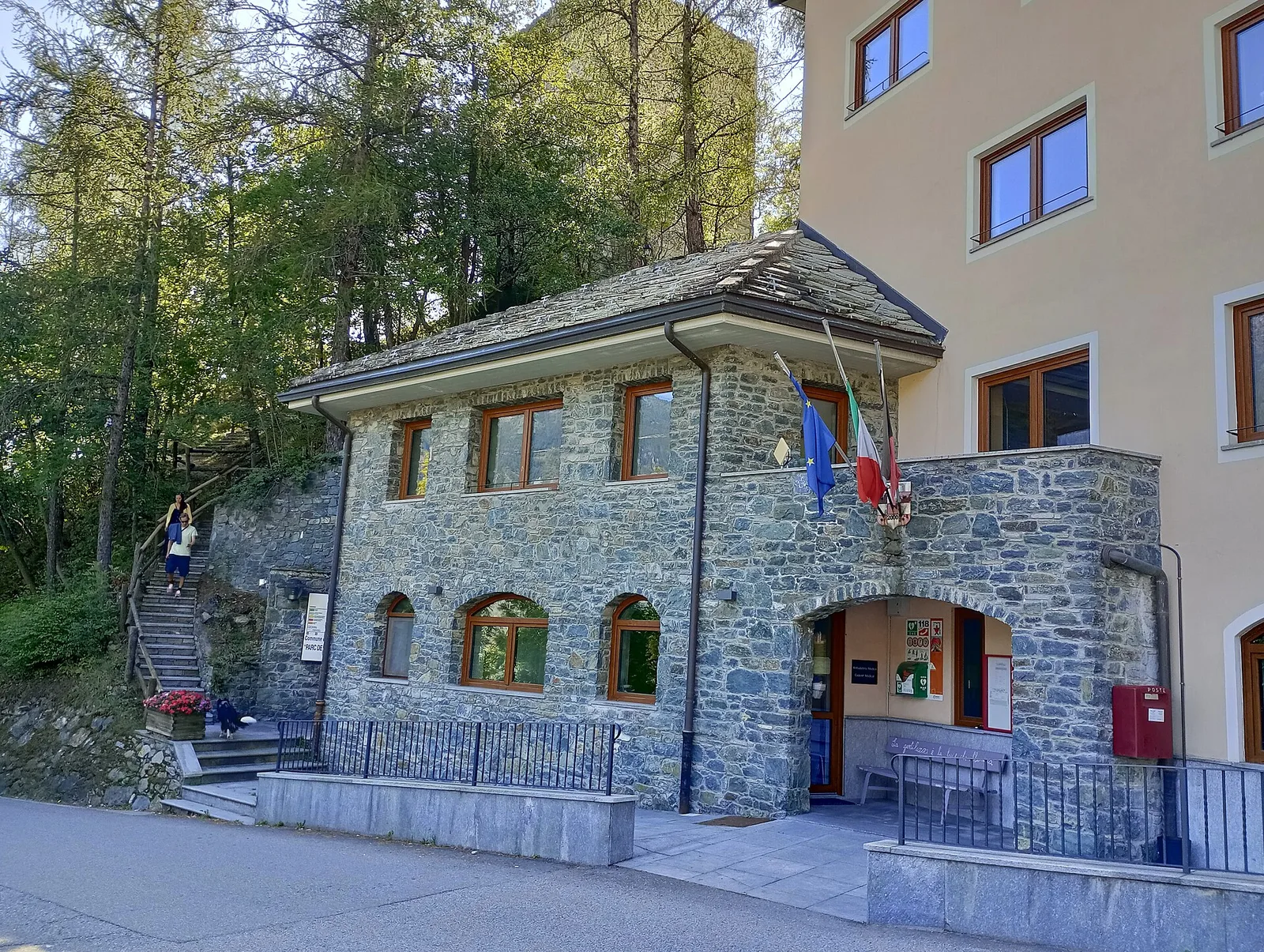
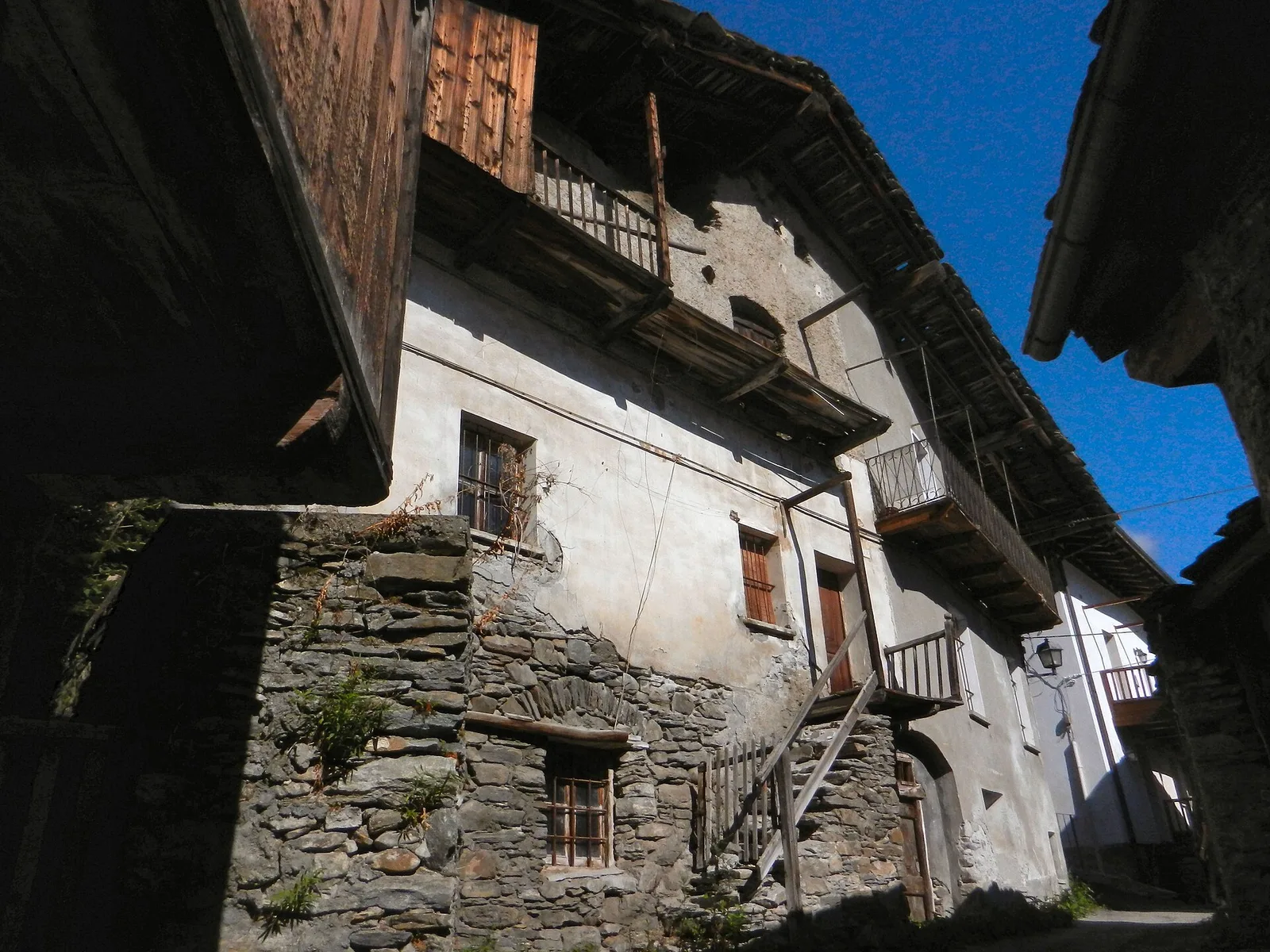
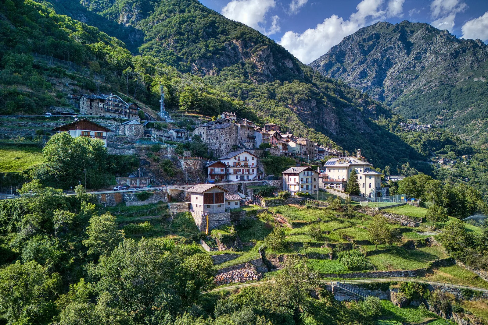
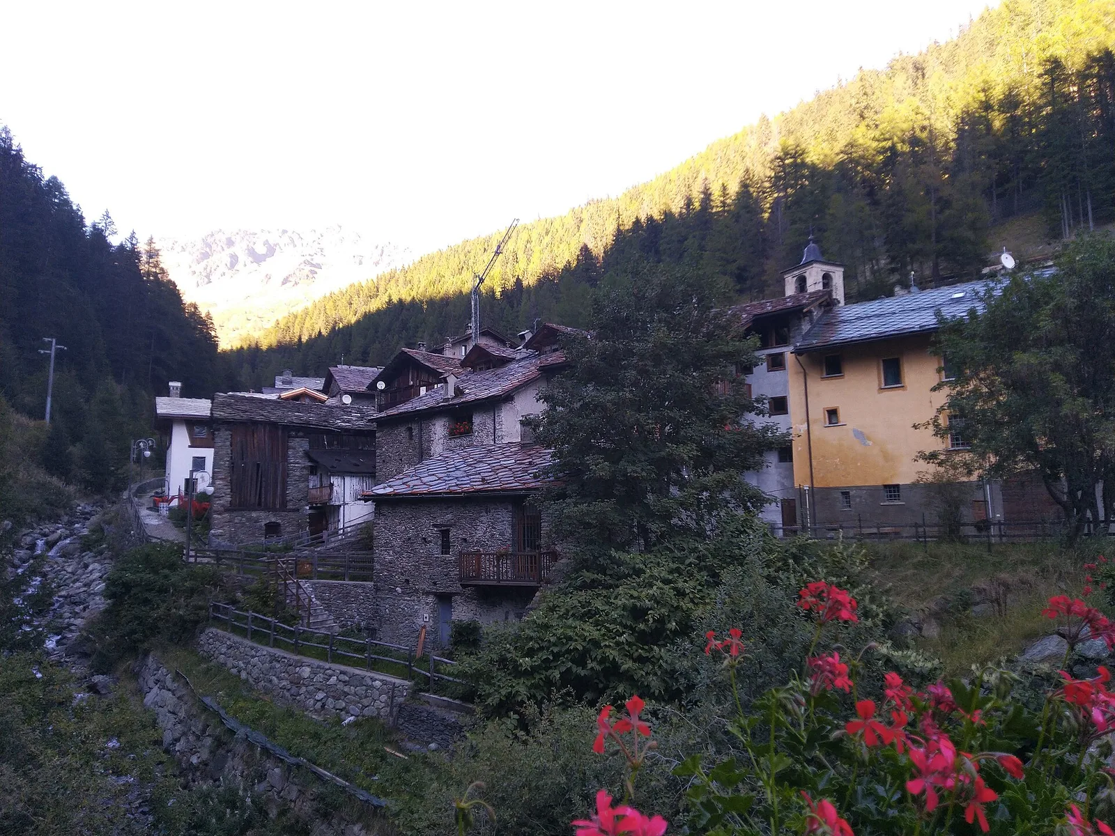
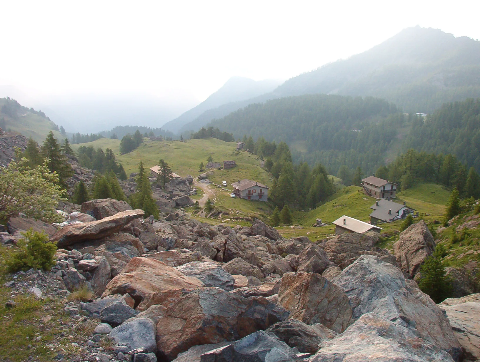
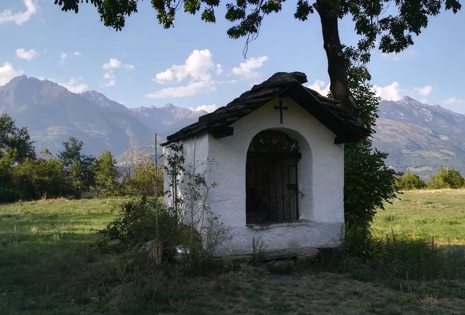
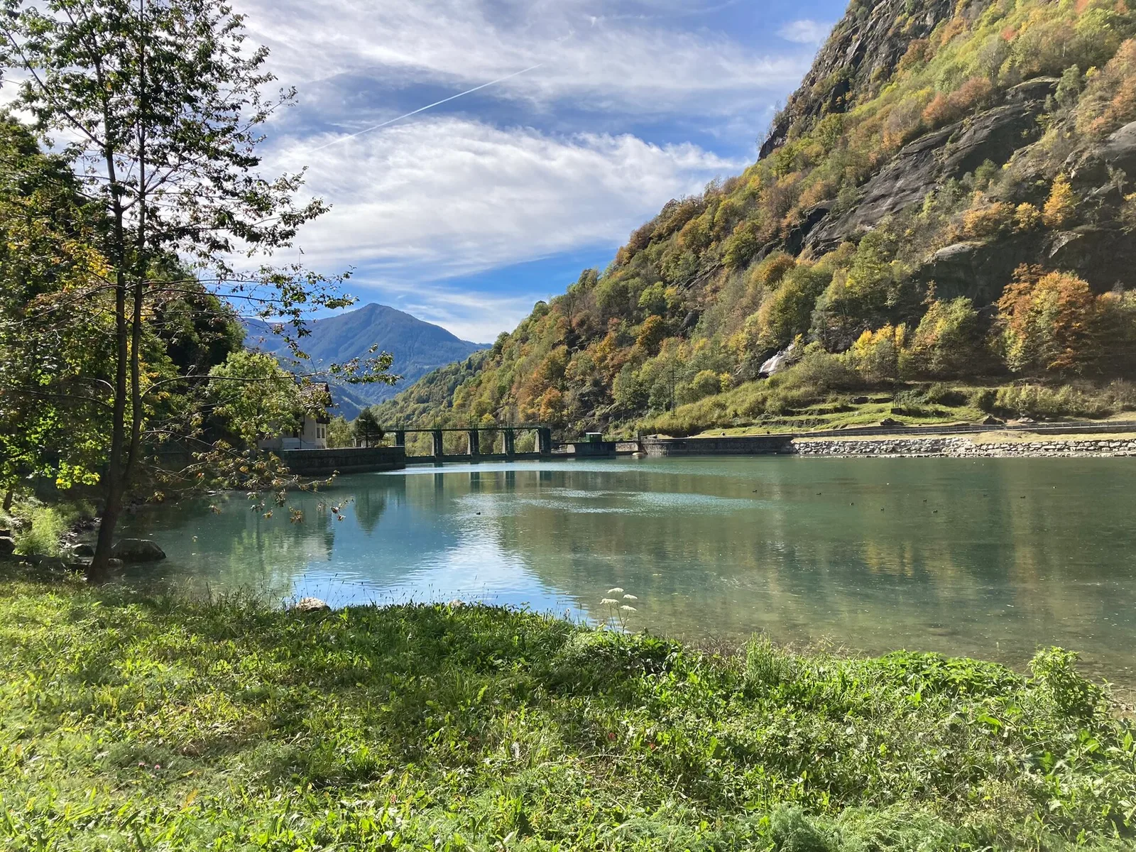
Anello Area sportiva-Fiernaz-Area sportiva
2.9 km · +28 m · T — from Area sportiva to Area sportiva (Valtournenche).
2.9 km+28 m1 h
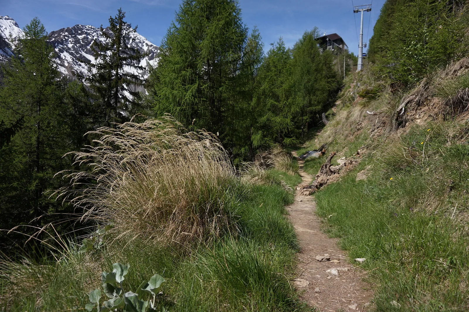
Where to spot
83 trails where Sycamore maple is listed in flora/fauna: difficulty T–EEA, elevation gain 0–1814 m.
83 · 0.5–20.3 km · +0–1814 m
Valtournenche
2.9 km · +28 m · T — from Area sportiva to Area sportiva (Valtournenche).

Valtournenche
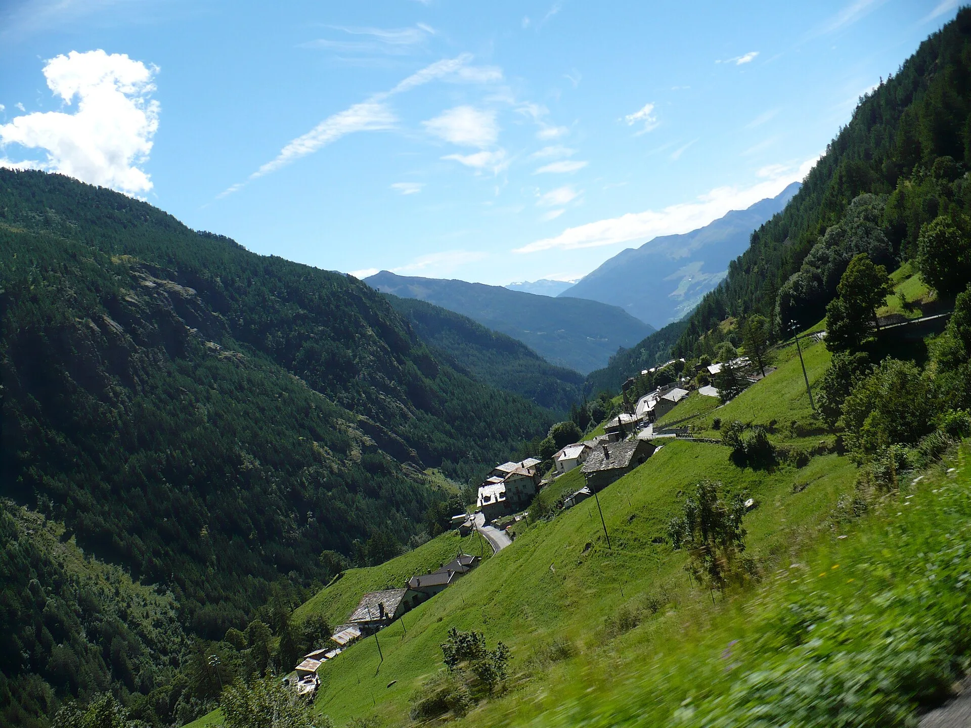
A loop through the sunlit hamlets of Antey and Torgnon: traditional Aosta Valley architecture, vineyards and mid-mountain forest, 5.2 km from Ruvère.

Valle centrale
4.1 km · +476 m · E — from Area giochi Croux to Parleyaz (Central Valley).

Valtournenche
From Arlier (603m) to Cloutraz (1067m) on the Châtillon hillside: 3.5 km E through vineyards, woodland and views over the Dora Baltea.
Valle del Gran San Bernardo
2.9 km · +535 m · E — from Artalle to Chaussettaz (Great St Bernard Valley).
Valle del Lys
5.2 km · +578 m · E — from Bivio Vallone des Chavannes to Colle del Piccolo San Bernardo (Lys Valley).
Valsavarenche
5.5 km · +811 m · E — from Verrayes (capoluogo) to Col des Bornes (Valsavarenche).
La Thuile
0.6 km · +165 m · E — from Chabodey to Plan Belon (La Thuile).
Valle centrale
4.4 km · +543 m · E — from Champlong dessus to Petit-Poignon (Central Valley).
Valle centrale
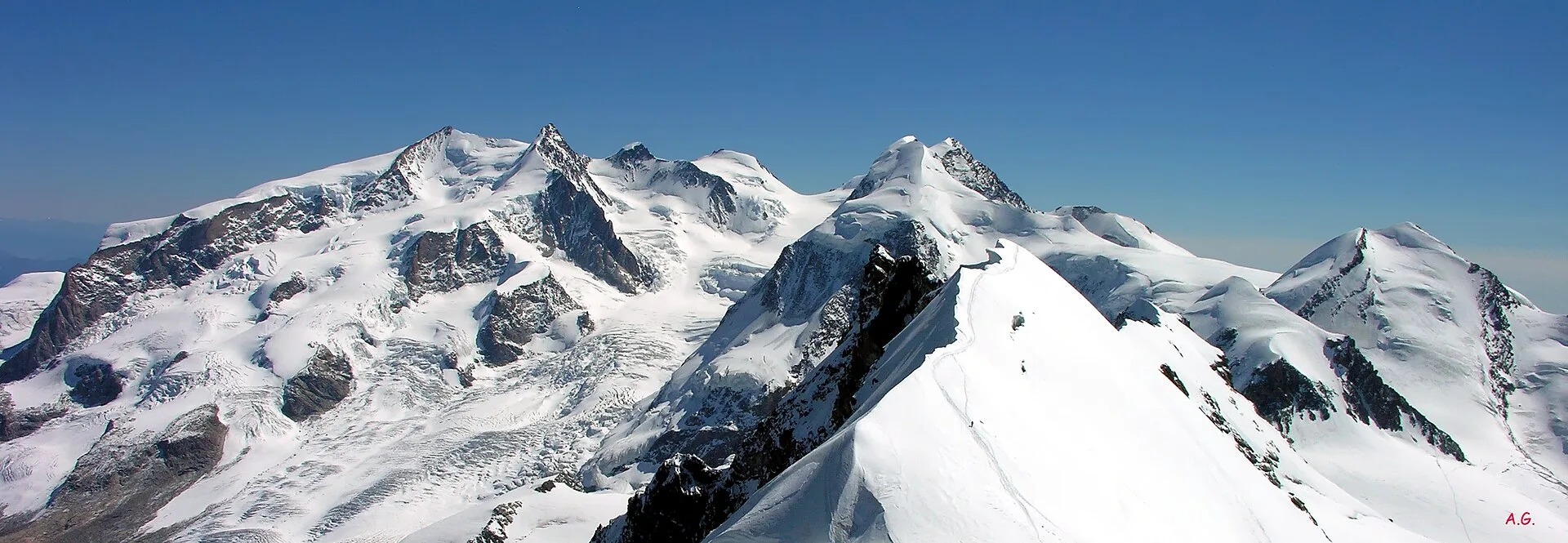
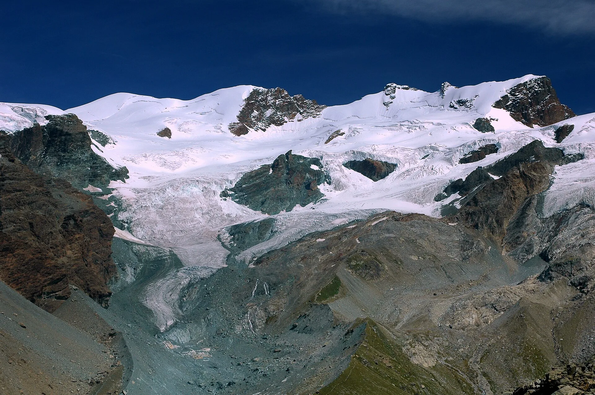
From Champoluc (1569m) to Testa Grigia (3315m): 8.2 km EEA — the Val d'Ayas summit on foot, full panorama over all Monte Rosa four-thousanders and the Matterhorn.
Val di Rhêmes
1.9 km · +387 m · E — from Chateau de Quart to Beato Emerico (Rhêmes Valley).
Valdigne
6.8 km · +0 m · E — from Cloutraz to Bellecombe (Valdigne).
Valsavarenche
2.7 km · +441 m · E — from Crétaz to Capoluogo (Valsavarenche).
Valle del Gran San Bernardo
5.8 km · +1129 m · EE — from Dolonne to Mont-Chetif (Great St Bernard Valley).
Valle del Gran San Bernardo
1.2 km · +276 m · E — from Estaod (Montjovet) to Emarèse (Great St Bernard Valley).

Valle del Lys
7.3 km · +1592 m · E — from Fontainemore (Capoluogo) to Colle Marmontana (Lys Valley).
Val di Rhêmes
9.7 km · +1194 m · E — from Fonteil to Col de Saint-Barthélem (Rhêmes Valley).
Valle centrale
2.7 km · +0 m · E — from Gignod to Ru Bourgeois - Cré (Central Valley).
Valle centrale
4.9 km · +517 m · E — from Confine comunale La Magdeleine - Chamois to Col Cheneil (Central Valley).
Valtournenche
1.6 km · +13 m · E — from Grand Moulin to Poutaz (Valtournenche).
Val d'Ayas
4.6 km · +713 m · E — from Grundji to Grundji (Ayas Valley).
Valsavarenche
4.3 km · +659 m · E — from Chiesa di San Giorgio to Biel (Valsavarenche).
Val d'Ayas
4.3 km · +92 m · E — from Capoluogo to Gaby (Ayas Valley).
Valtournenche
7.6 km · +1281 m · E — from La Béthaz to Rifugio degli Angeli al Morion (Valtournenche).
Valle del Gran San Bernardo
3 km · +536 m · E — from La Remisa to Gioè damon (Great St Bernard Valley).
Valle centrale
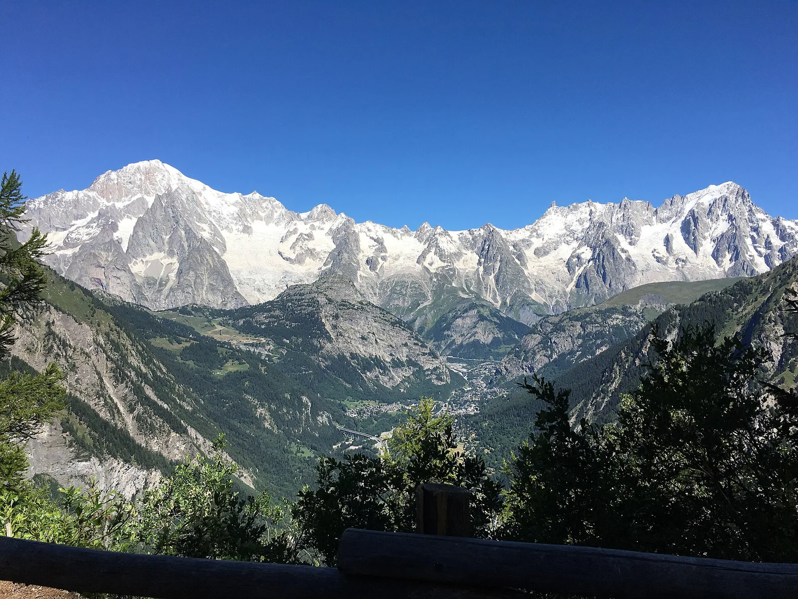
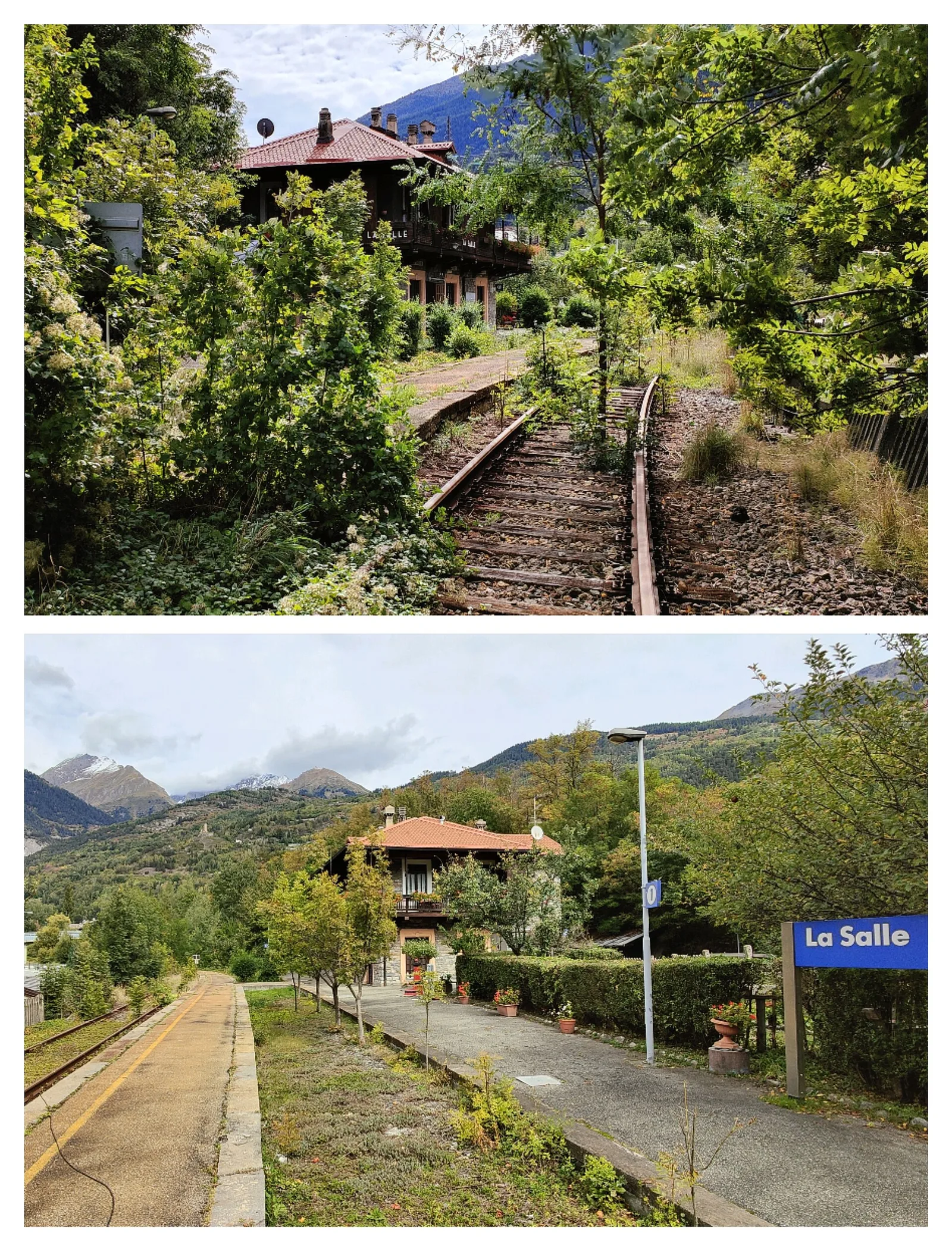
3.3 km · +259 m · T — from Liarey to Chabodey (La Salle) (Central Valley).
Valtournenche
1.3 km · +8 m · E — from Lies to Strada (Valtournenche).

Valpelline
7.4 km · +1084 m · E — from Lignan to Bivacco Rosaire Clermont (Valpelline).
Valle del Lys
12.3 km · +1392 m · E — from Lillaz to Santuario di San Besso (Lys Valley).
Valle centrale
2.4 km · +438 m · E — from Lillianes to Le Miriou (Central Valley).
Valle centrale
0.9 km · +39 m · E — from Chez-Percher to Cau (Central Valley).
Valle centrale
2.3 km · +326 m · E — from Marine to Varfey (Central Valley).
Valle del Gran San Bernardo
1.5 km · +284 m · E — from Moulin to Plout (Great St Bernard Valley).
Valle del Lys
2 km · +461 m · E — from Moulin to Gorettaz (Lys Valley).
Valle centrale
6.5 km · +1049 m · E — from Mure to Boden (Central Valley).
Val d'Ayas
2 km · +282 m · E — from Nabian to Barmata (Ayas Valley).
Valtournenche
2.7 km · +663 m · E — from Nuarsaz to Corgnolaz (Valtournenche).
Valpelline
4.3 km · +591 m · E — from Nus to Blavy (Valpelline).
Valpelline
6.1 km · +1205 m · E — from Capoluogo to Bivacco Regondi (Valpelline).
Valtournenche
7.3 km · +1319 m · E — from Outre l'Eve to Col de la Fricolla (Valtournenche).
Valtournenche
3.1 km · +639 m · E — from Outrefer to Pourcil (Valtournenche).
Val di Cogne
From Ozein, the ascent to Pointe de la Pierre climbs through forest, pastures and open alpine terrain to 2642 m, a classic viewpoint over the Pila basin and Val di Cogne.
Valle del Lys
6.3 km · +643 m · E — from Parcheggio Area camper to Souches (Lys Valley).
Valle del Gran San Bernardo
1.7 km · +471 m · E — from Pianatz to Kocia (Great St Bernard Valley).
Valtournenche
1.8 km · +355 m · E — from Pingaz to Novellioz (Valtournenche).
Valle del Lys
3.6 km · +228 m · E — from Plan d'Introd to Moulin de Tache (innesto sentiero 6) (Lys Valley).
Valle centrale
3.8 km · +581 m · E — from Plan de Brun to Fey (Central Valley).
Valle del Gran San Bernardo
3.4 km · +635 m · E — from Plout to Druges (Great St Bernard Valley).
Valle del Lys
1.8 km · +429 m · E — from municipio Pollein to Chenoz (Lys Valley).
Valtournenche
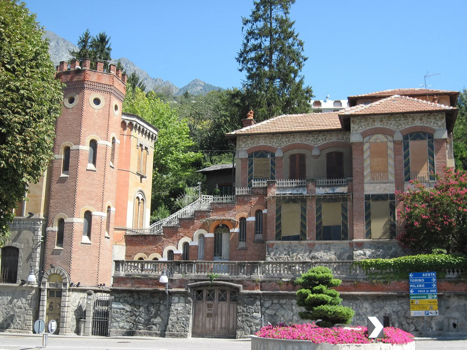
From the Dora Baltea bridge (500 m) to Verthuy (1058 m) above Châtillon: 568 m in 3.6 km. Quick transition from valley floor to terraced meadows.
Valle del Lys
6 km · +1217 m · E — from Ponte Vernosse to Col de L'Arpeyssaou (Lys Valley).
Valtournenche
1.4 km · +500 m · E — from Poutaz to Triatel (Valtournenche).
Valpelline
7.9 km · +832 m · E — from Praz to Bivacco Reboulaz (Valpelline).
Valpelline
2.1 km · +506 m · E — from Praz to La Fenetre (Valpelline).
Val di Rhêmes
4.4 km · +0 m · E — from Pré-Saint-Didier to Morgex (Rhêmes Valley).
La Thuile
5.4 km · +881 m · E — from Chabodey to Promoud (La Thuile).

Val d'Ayas
2.6 km · +308 m · E — from Quinçod to Alésaz (Ayas Valley).

Val d'Ayas
4.7 km · +742 m · E — from Quinçod to Leuriaz (Ayas Valley).
Val d'Ayas
In the lower Val d'Ayas, Challand-Saint-Victor: an E-rated climb through vineyards, forest and terraced land toward historic hamlets.
Val d'Ayas
1.4 km · +0 m · E — from Paysan to Casa fine poderale 29 (Ayas Valley).
Valdigne
7.1 km · +917 m · E — from Saint-Clair to Gettaz (Valdigne).
Valle di Champorcher
4 km · +700 m · E — from Varesa to Santuario di Retempio (Champorcher Valley).

Val d'Ayas
2.3 km · +283 m · E — from Sizan to Sant'Anna (Ayas Valley).
Val d'Ayas
1.9 km · +316 m · E — from Sizan to Col d'Arlaz (Ayas Valley).
Val d'Ayas
A short, steep climb from Strada Cappuccini (601 m) to Excenex (1,036 m) in Val d'Ayas: 3.2 km and 452 m of ascent.
Valle centrale
2.4 km · +411 m · E — from Strada Statale 27, start str militare to Plan Puitz (Central Valley).
Valsavarenche
10.4 km · +0 m · E — from Verrayes to Nus (Valsavarenche).
Valpelline
15.8 km · +0 m · E — from Rifugio Cuney to Les Sergnoux (Valpelline).
Valtournenche
11.1 km · +547 m · E — from Roisan to Arpuilles (Valtournenche).
Valle di Champorcher
15.6 km · +0 m · E — from Crest to Capoluogo (Champorcher Valley).
La Thuile
20.3 km · +0 m · E — from La Salle to Avise (La Thuile).
Valle del Lys
14.5 km · +451 m · E — from Fénis to Châtillon (Lys Valley).
Valle di Champorcher
0.5 km · +167 m · E — from Terrisse to Attacco Mont Charvatton (Champorcher Valley).
Valle del Lys
6.4 km · +1110 m · E — from Tillier to Druges (Lys Valley).
Val d'Ayas
3.2 km · +288 m · E — from Tilly to Mayn (Ayas Valley).
Valle centrale
7.2 km · +1316 m · E — from Tourterouse to Colle Superiore delle Cime Bianche Sud (Central Valley).
Valle centrale
1.7 km · +277 m · E — from Trepont to Liveroulaz (St-Nicolas) (Central Valley).
Valtournenche
1.6 km · +382 m · E — from Valyre to Salirod (Valtournenche).
Val d'Ayas
In the lower Val d'Ayas, Challand-Saint-Victor: a moderate climb through vineyards, meadows and forest toward upper hamlets.
Valle centrale
9 km · +1685 m · E — from Villair to Col de Licony (Central Valley).

Val d'Ayas
0.5 km · +86 m · E — from — to — (Ayas Valley).
Valle del Gran San Bernardo
7.6 km · +995 m · E — from Visaille to Col de la Youlaz (Great St Bernard Valley).
Val d'Ayas
6.3 km · +1402 m · E — from Zengji to Colle Marmontana (Ayas Valley).