T
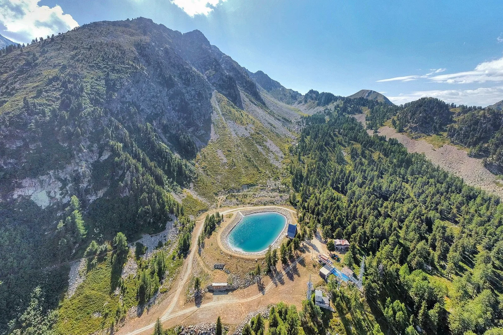
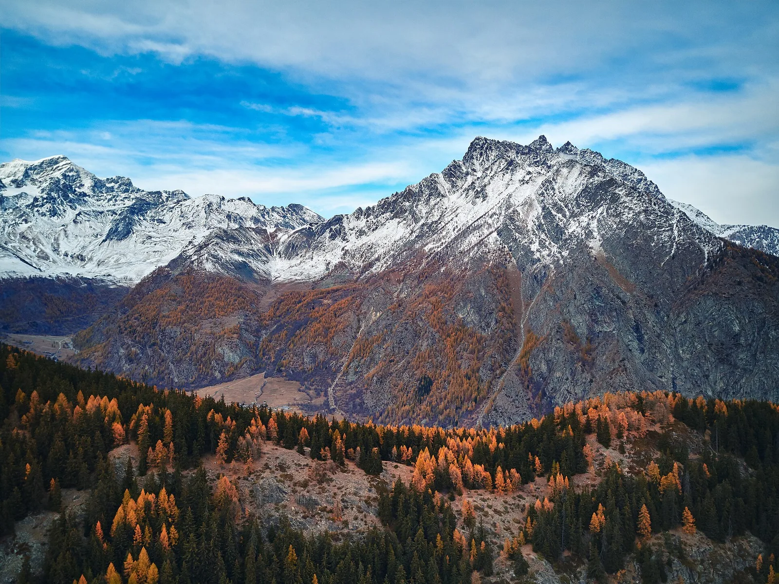
Val d'Ayas
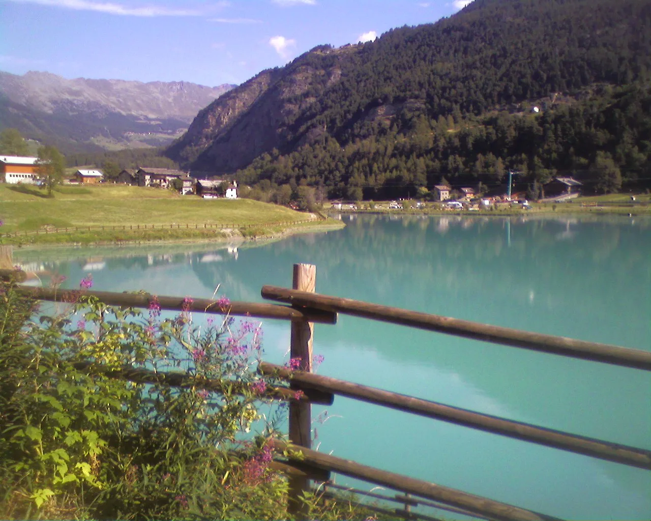
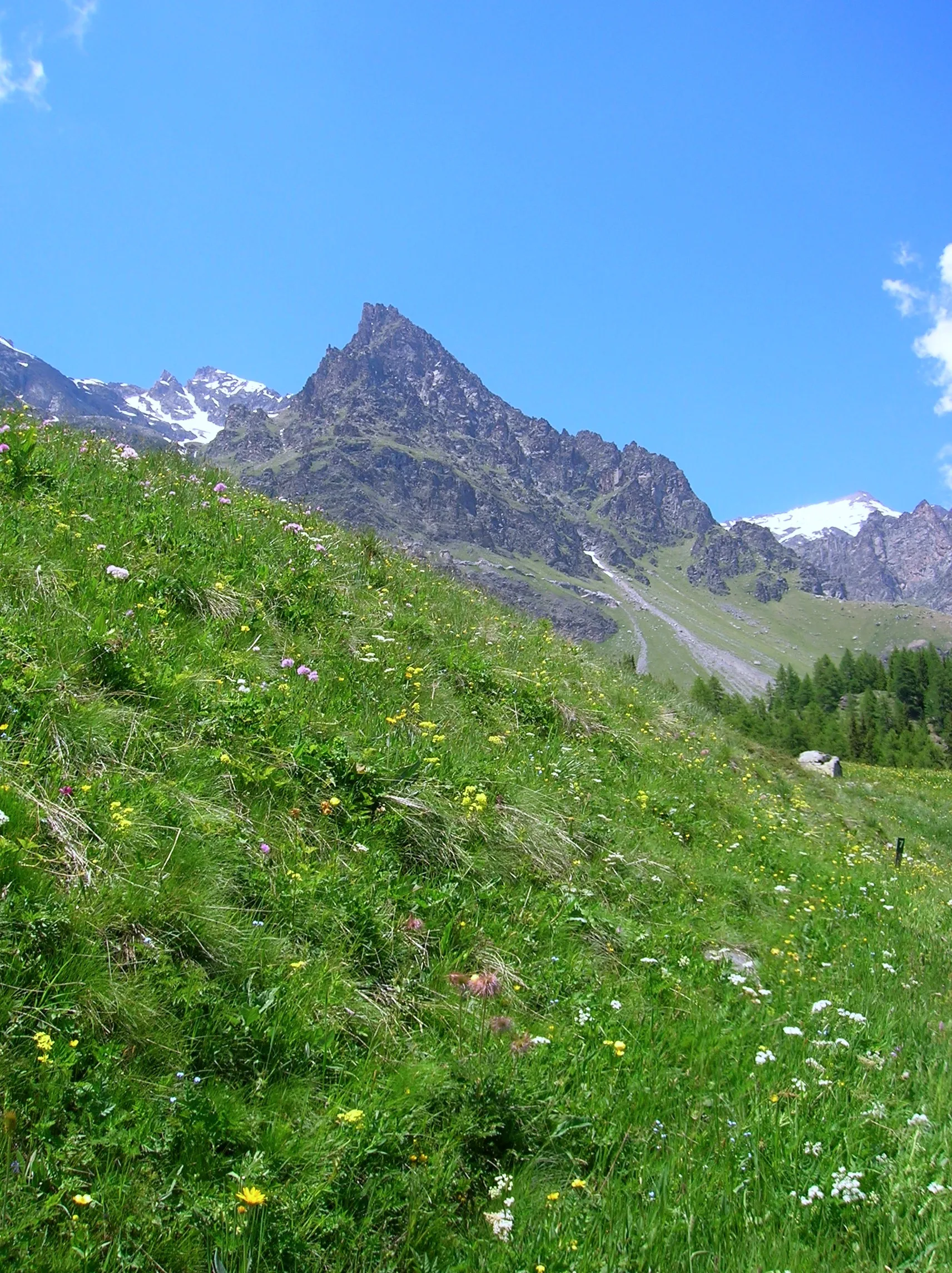
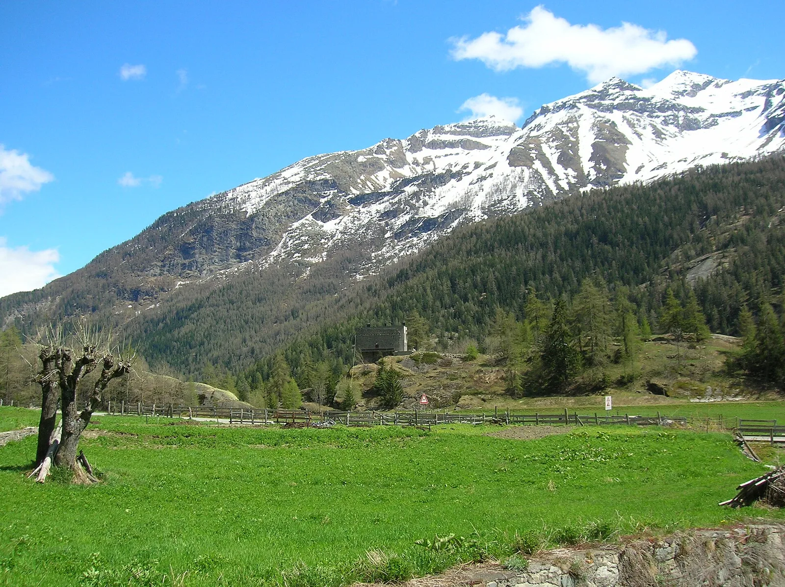
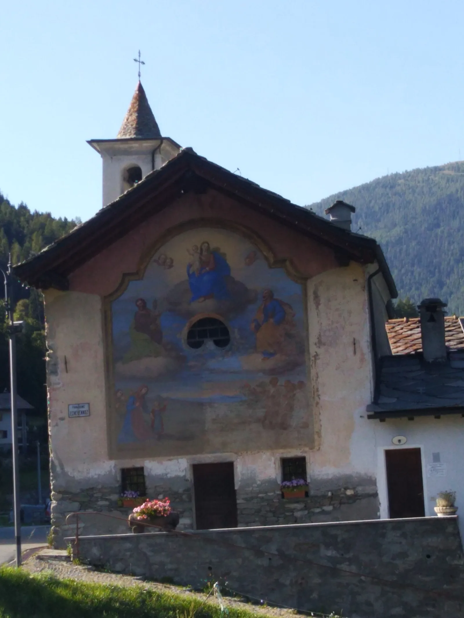
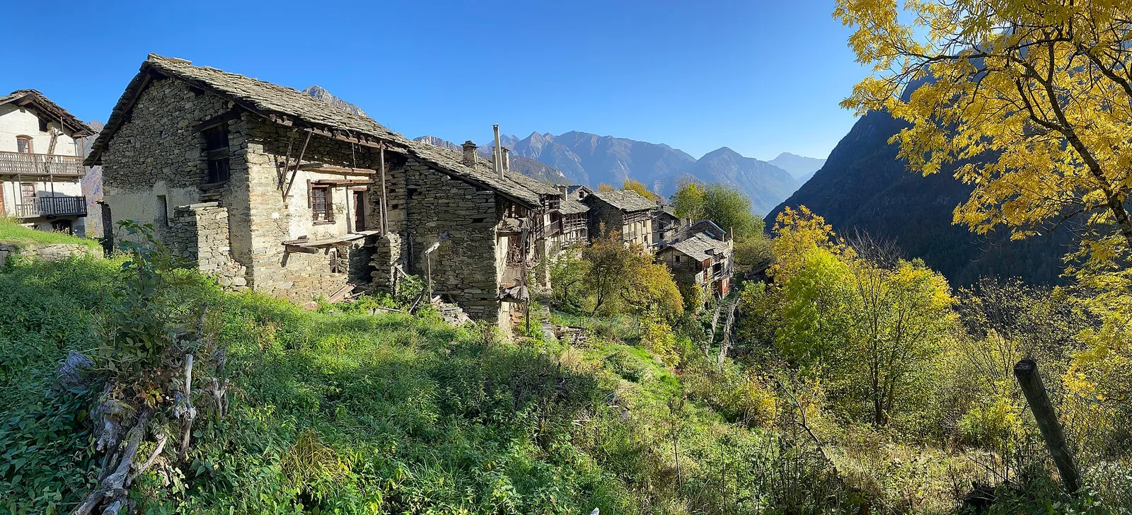
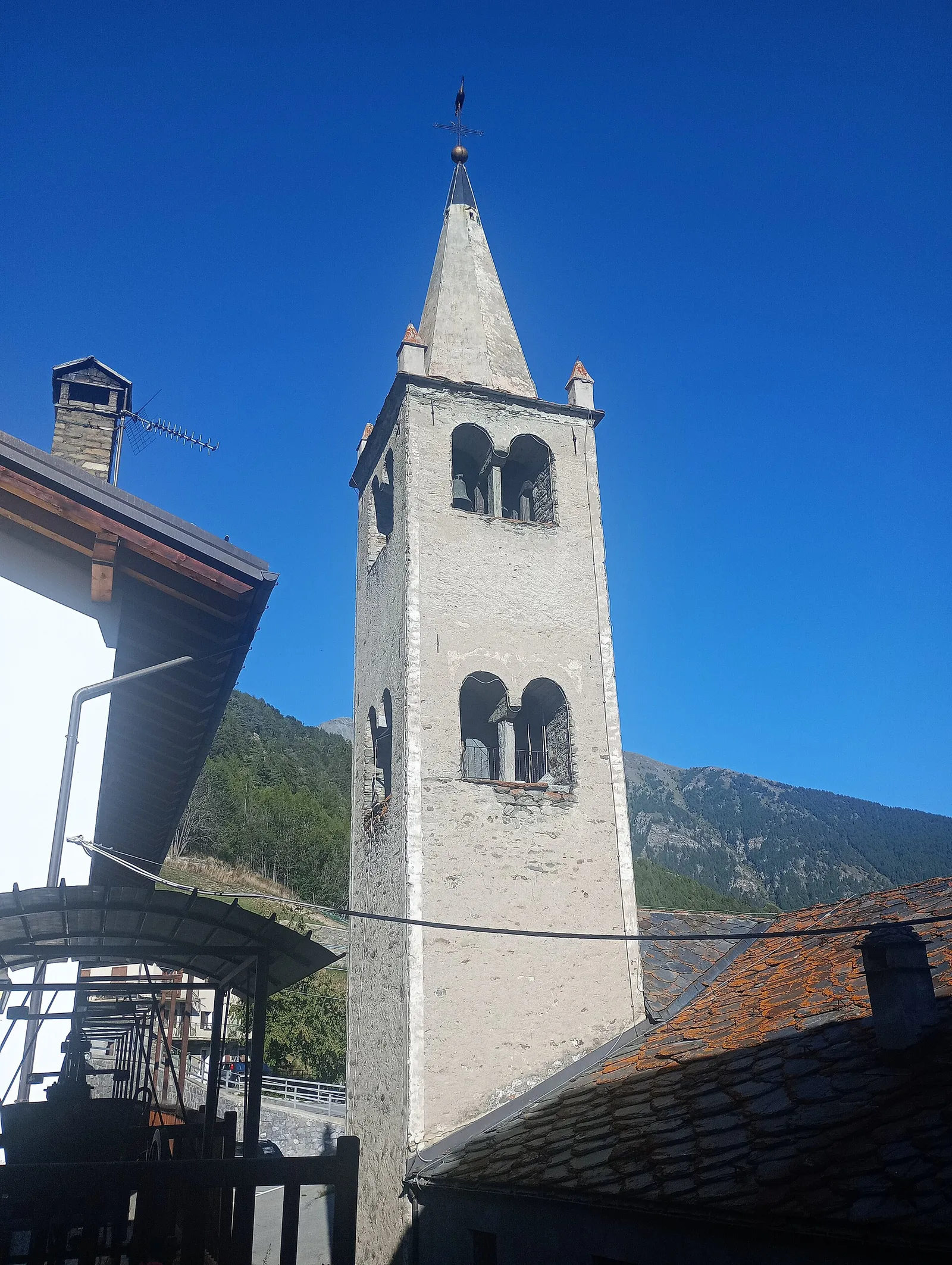
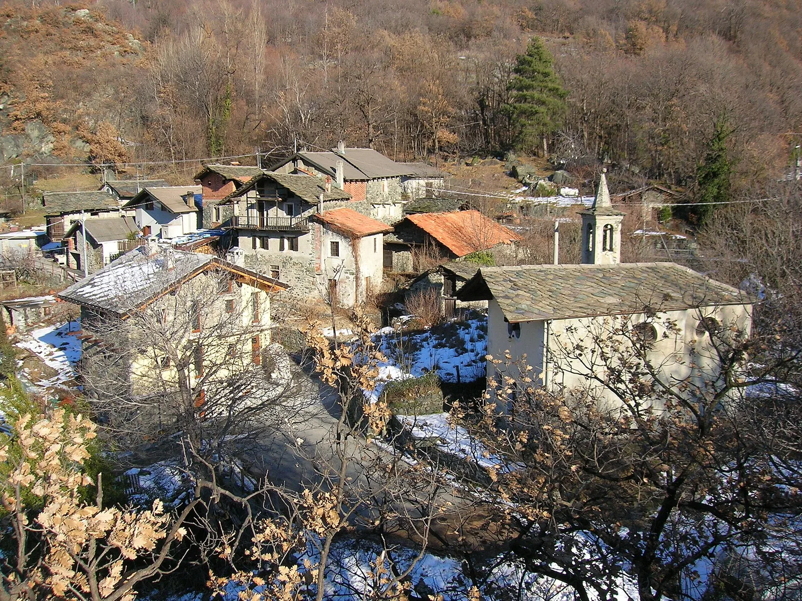
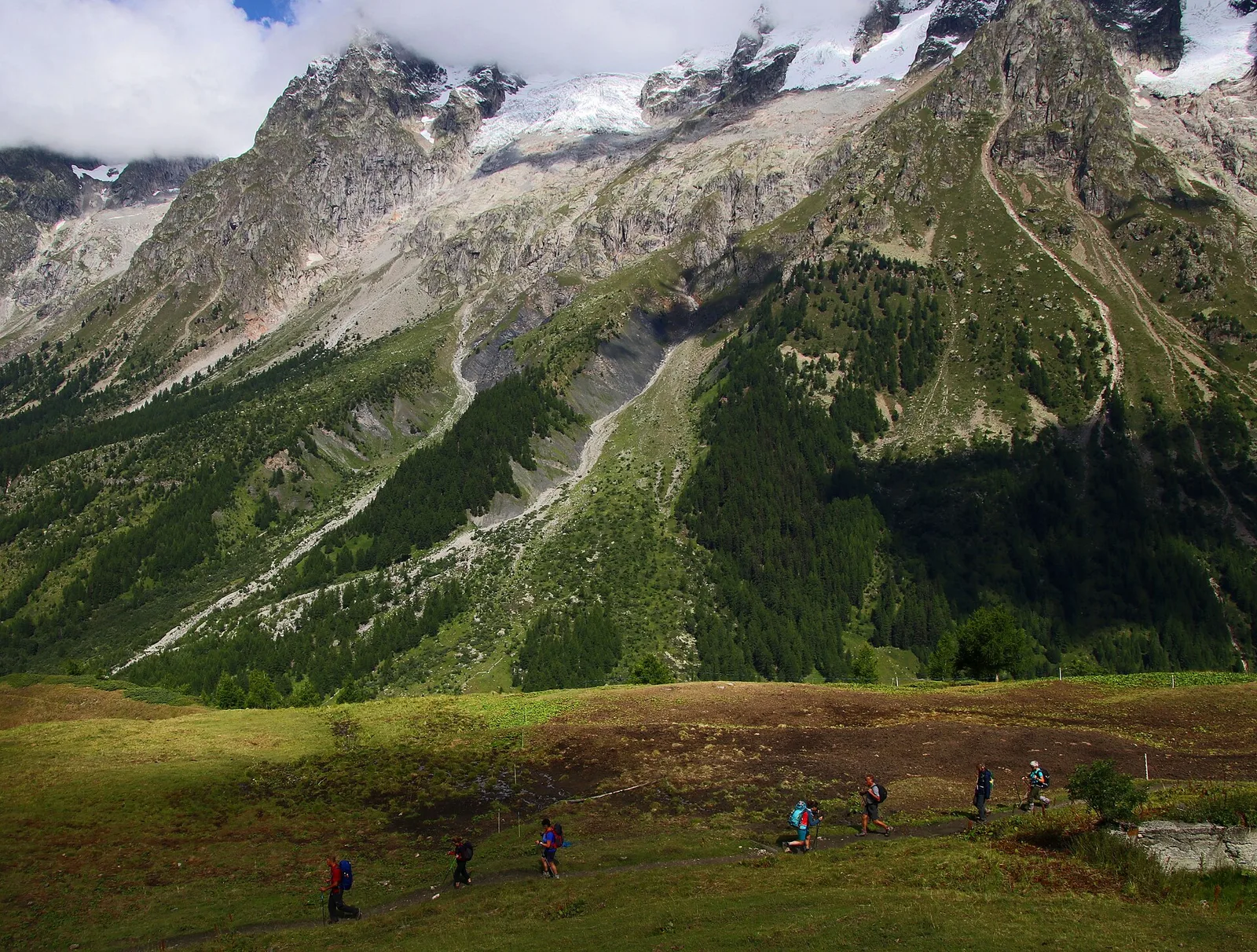
Arcésaz - Brusson (Guillattes)
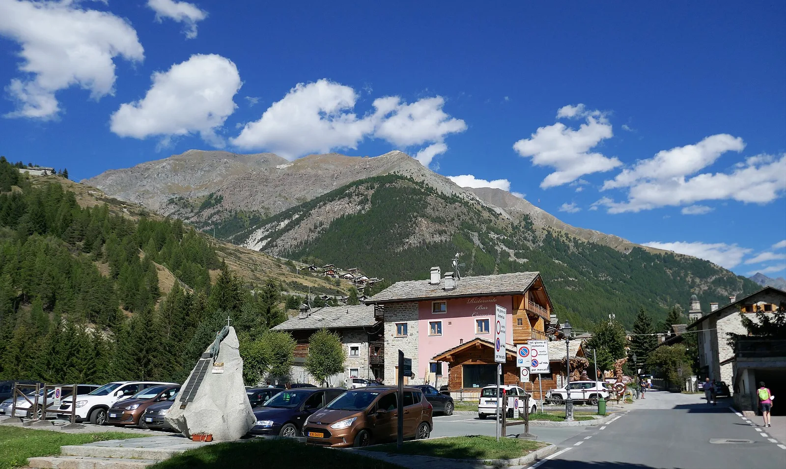
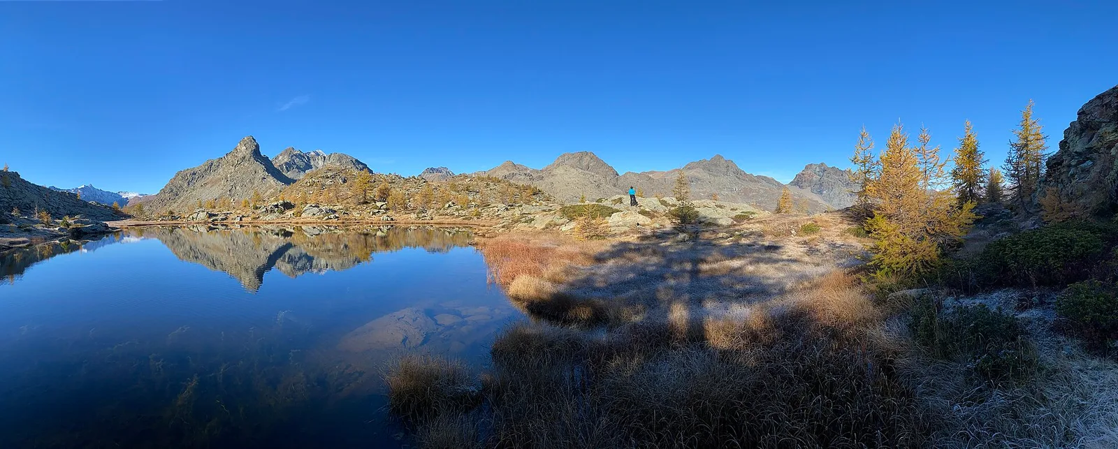
An easy T-rated stroll from Arcésaz to Brusson along irrigation canals and mid-slope paths in the Val d'Ayas: 3.6 km, no difficulty, suitable for families and all levels.
3.6 km+143 m1.5 h
Where to spot
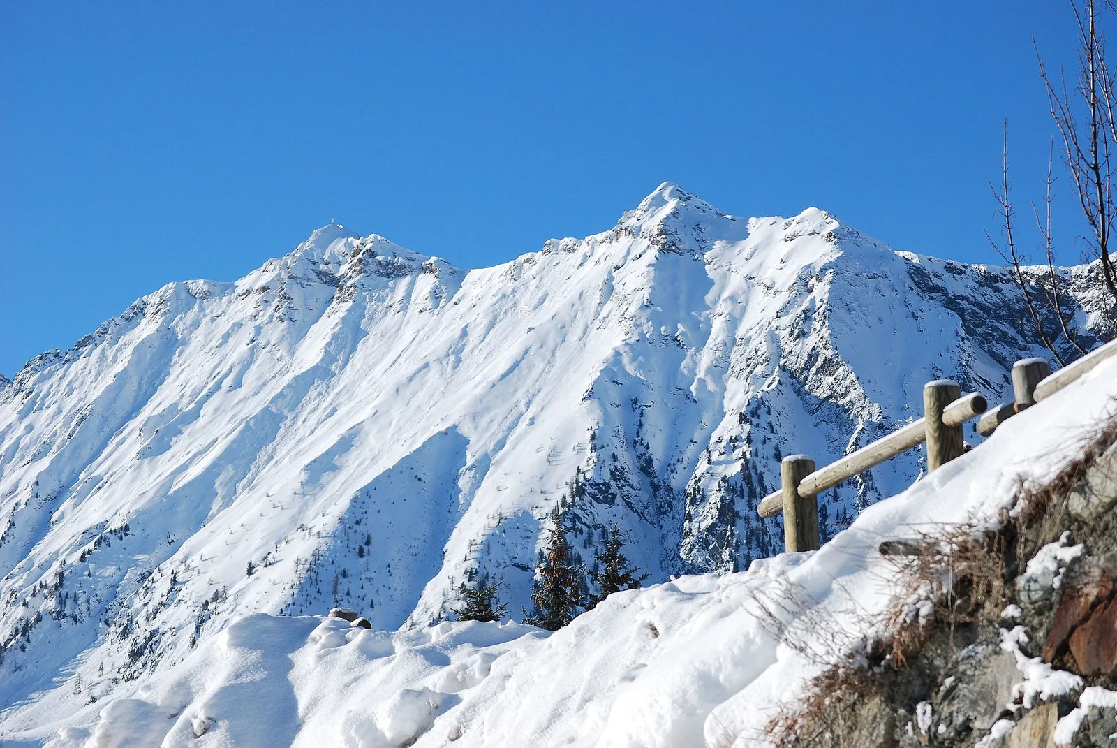
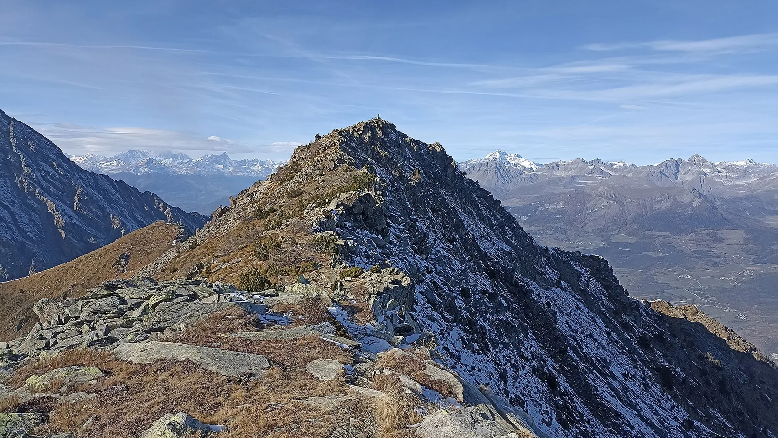
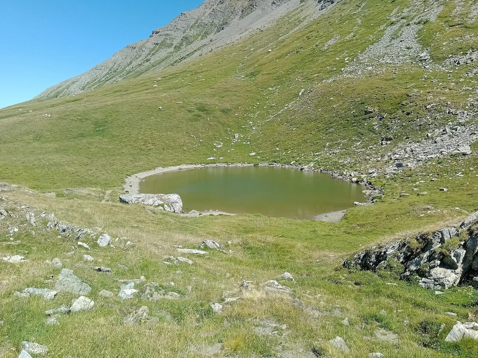
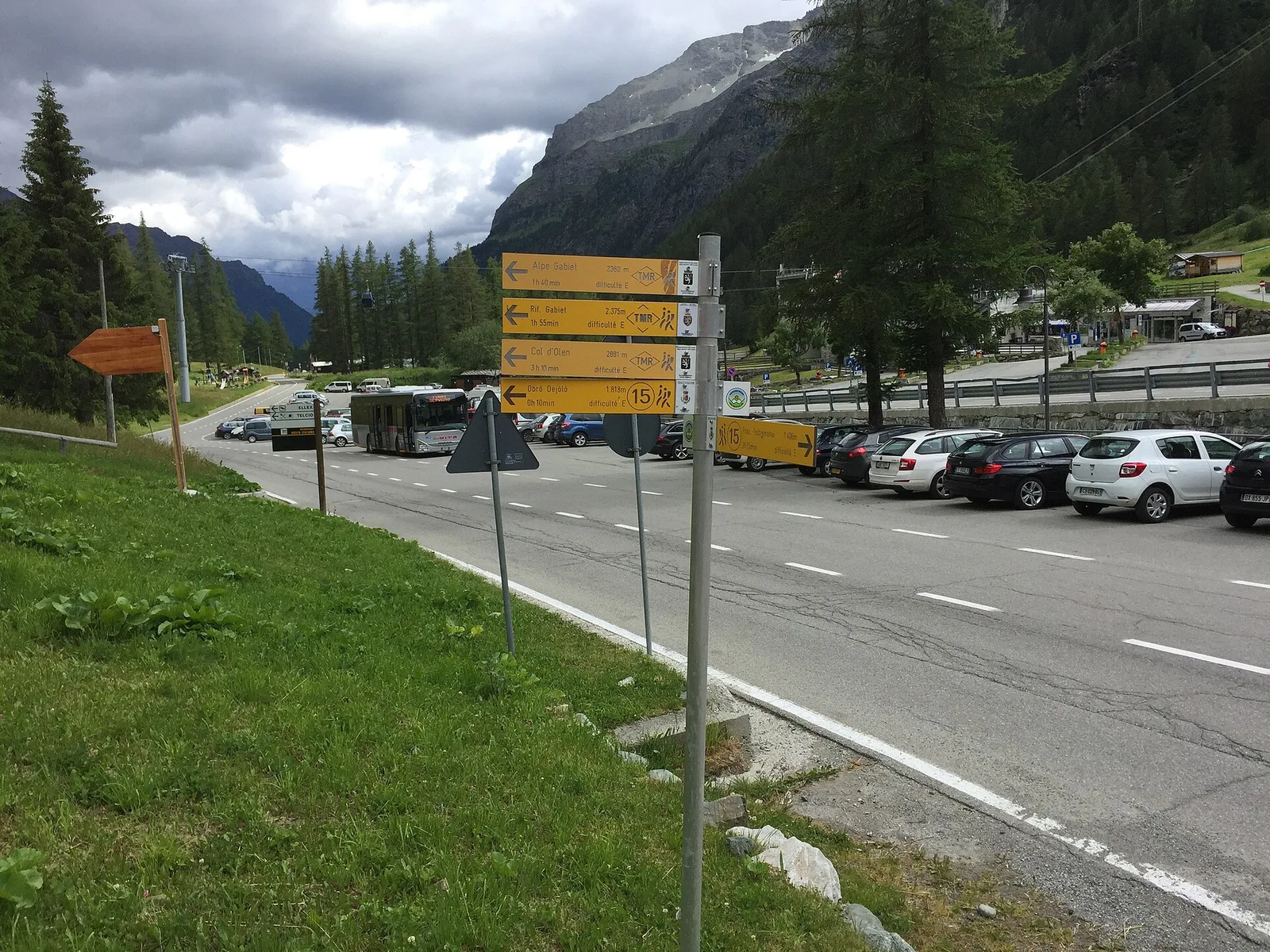
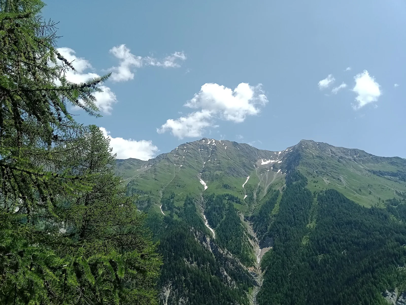
58 trails where Red deer is listed in flora/fauna: difficulty T–EE, elevation gain 0–1402 m.
58 · 1.0–15.6 km · +0–1402 m
Val d'Ayas
An easy T-rated stroll from Arcésaz to Brusson along irrigation canals and mid-slope paths in the Val d'Ayas: 3.6 km, no difficulty, suitable for families and all levels.

Valle del Lys
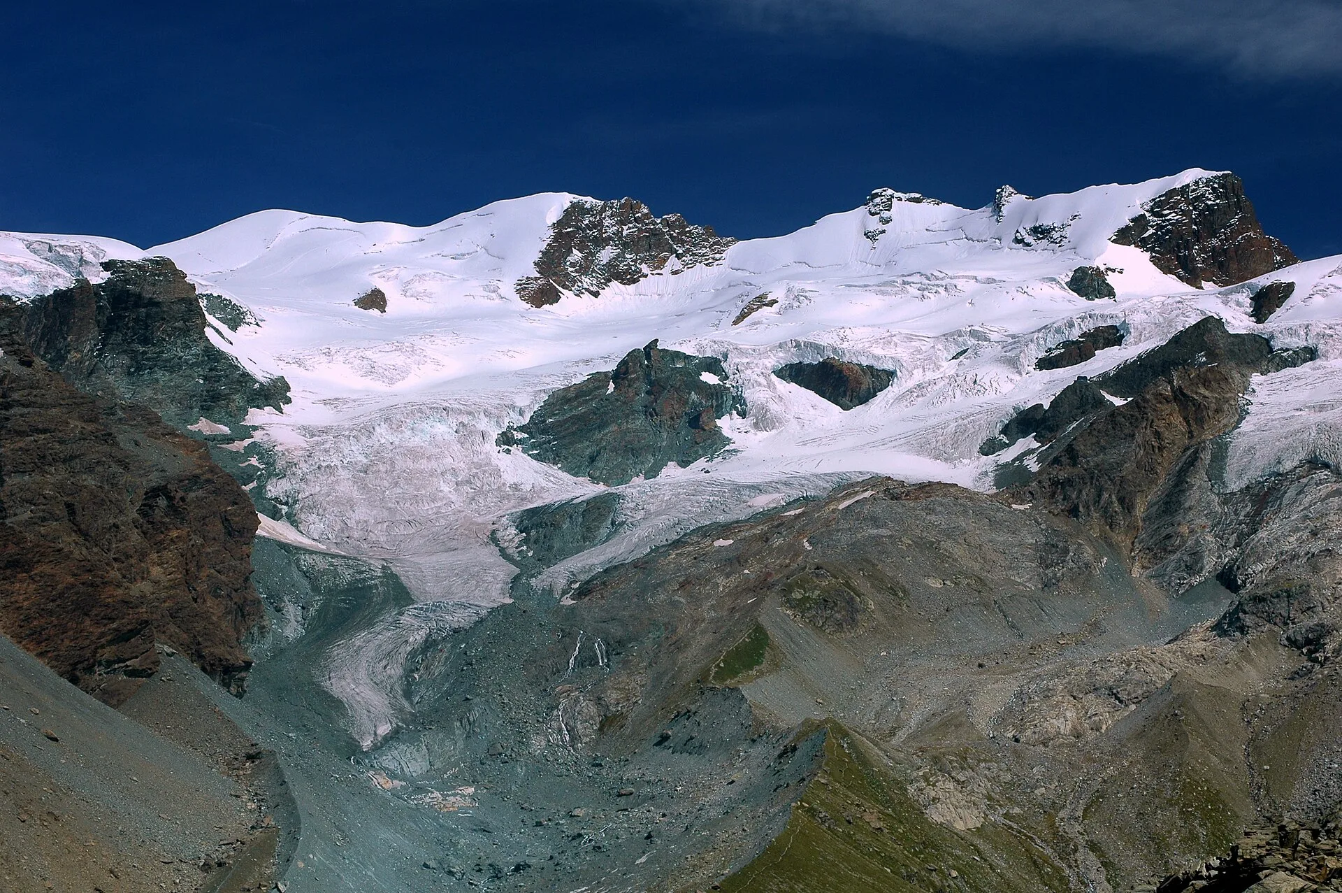
In the commune of Cogne, Gran Paradiso National Park: a climb toward a high-altitude objective in an environment of exceptional natural quality.
Valle centrale
From Barmasc, trail 2A climbs directly to Col Pillonnet (2698 m), the pass between Val d'Ayas and Valtournenche, with 799 m of ascent in 3.7 km.
Valtournenche
4.7 km · +534 m · E — from Bivio strada per Grand Alpe to Lac Saint-Grat (Valtournenche).
Val d'Ayas
Upper Val d'Ayas, Brusson: a route toward a panoramic objective over open terrain.
Valle centrale
4.5 km · +937 m · EE — from Capiron to Mont Lyan (Central Valley).
Valdigne
5.2 km · +959 m · E — from Via Chanoux to Promiod (Valdigne).
Valle del Lys
2.4 km · +316 m · E — from Chavannes d'en-Haut to Mont Fortin (Lys Valley).
Valle del Lys
1 km · +107 m · E — from Cretaz to Tour d'Oyace (Lys Valley).

Valtournenche
3.5 km · +180 m · E — from Strada comunale a monte delll'abitato di Dailley to Châtelard (Valtournenche).
Valle del Gran San Bernardo
14.3 km · +1234 m · E — from Dolonne to Rifugio Elisabetta (Great St Bernard Valley).
Valtournenche
1.4 km · +297 m · EE — from Echelly to Grand-Rosier (Valtournenche).
Valle del Lys
8.6 km · +898 m · EE — from Epinel to Bivacco Gontier (Lys Valley).
Valle del Lys
6 km · +1339 m · E — from Epinel to Col Garin (Lys Valley).
Valle del Lys
1.4 km · +0 m · E — from Epinel to Str.Regionale.Cretaz (Lys Valley).
Valle del Gran San Bernardo
3.5 km · +223 m · E — from Erésaz to Grand Rhun (Great St Bernard Valley).
Val d'Ayas
7.3 km · +805 m · E — from Estoul to Lago Lungo (Ayas Valley).
Valle centrale
6.6 km · +1385 m · EE — from Fey to Col d'Arche (Central Valley).
Val di Rhêmes
5.8 km · +766 m · E — from Fonteil to Croce di Fana (Rhêmes Valley).
Valle centrale
3.8 km · +450 m · E — from Fossaz to Grand Sarriod (Central Valley).
Val d'Ayas
2 km · +106 m · E — from Isollaz to Ponti Romani (Ayas Valley).
Valsavarenche
4.2 km · +1074 m · E — from La Clévaz to Plan Fiou (Valsavarenche).
Valdigne
From La Clusaz (1,660 m) to the high-alpine Pas de Planaval (3,013 m) in the Valdigne: 7.5 km and 1,356 m of ascent, EE difficulty.
Valtournenche
2.1 km · +183 m · E — from Mellier to Grand-Rosier (Valtournenche).
Valpelline
8.2 km · +1324 m · E — from Nus to Issologne (Valpelline).
Valle centrale
2.3 km · +178 m · E — from Pâquier to Lago Loz (Central Valley).
Valle centrale
5.7 km · +562 m · E — from Petit-Buthier to Alpe Ars (Central Valley).
Valtournenche
3.1 km · +806 m · E — from Pompiod to Champallex (Champchenille) (Valtournenche).
Valtournenche
3 km · +795 m · E — from Pompiod to Torlin desot (cappella)- Raccordo 38_S6 (Valtournenche).
Val d'Ayas
5 km · +775 m · E — from Pont to Rifugio Vittorio Emanuele II (Ayas Valley).
Valle di Champorcher
4 km · +727 m · E — from Pontboset to Santuario di Retempio (Champorcher Valley).
Valdigne
4.3 km · +1068 m · E — from Ponte Dora Baltea to Alpe Mont Giron (Valdigne).
Valtournenche
1.3 km · +234 m · E — from Pramotton to Tour Pramotton (Valtournenche).
Valle centrale
1.6 km · +202 m · E — from Remiod (Rumiod) to Grand Sarriod (Central Valley).
Valtournenche
2.1 km · +331 m · EE — from Remoran to Col Terre Rousse (Valtournenche).
Valle centrale
2.2 km · +586 m · EE — from Résy to Palon de Résy (Central Valley).
Valle del Lys
2.9 km · +688 m · EE — from Rovarey to Thuy damon (Chambave) (Lys Valley).
Valpelline
4.9 km · +0 m · E — from Vaud to Châtelair (Valpelline).
Valle del Gran San Bernardo
1.8 km · +448 m · E — from Saint-Oyen to Saint-Oyen (Great St Bernard Valley).
Valle del Lys
4.7 km · +1088 m · E — from Staffal to Passo Inferiore della Bettolina (Lys Valley).
Valtournenche
2.5 km · +542 m · E — from Strada Dondena to Col Lago Bianco (Valtournenche).
Valle di Champorcher
4.3 km · +155 m · T — from Bivio Villa Margherita to Start 9 (Champorcher Valley).
Valle di Champorcher
2.8 km · +590 m · E — from Start S2 (strada per Tschalvrino) to Weissmatten (Champorcher Valley).
Val d'Ayas
2 km · +370 m · E — from Strada Regionale to Arbaz (Ayas Valley).

Valtournenche
6.3 km · +1091 m · E — from Surrier, bivio poderali to Bivacco Ravelli (Valtournenche).
Valgrisenche
12.3 km · +998 m · E — from Planaval to Rifugio Chalet de l'Epée (Valgrisenche).
Val d'Ayas
15.6 km · +0 m · E — from Challand-Saint-Victor to Saint-Vincent (Ayas Valley).
Valle del Gran San Bernardo
5.7 km · +1091 m · E — from Toffo (Montjovet) to Sommarèse (Great St Bernard Valley).
Valdigne
3.9 km · +1042 m · E — from Torin to Alpe Mont Giron (Valdigne).
Valpelline
4.5 km · +390 m · E — from Rey to Chatellair-Dessus (Valpelline).
Valpelline
3.8 km · +78 m · E — from Rey to Chatellair-Dessus (Valpelline).
Valtournenche
2.5 km · +231 m · E — from Valpelline capoluogo to Crête (Valtournenche).
Valle centrale
3.9 km · +713 m · E — from Veynes to Valtolanaz (Central Valley).
Valle centrale
2.9 km · +680 m · E — from Veynes to Valtolanaz (Central Valley).
Val d'Ayas
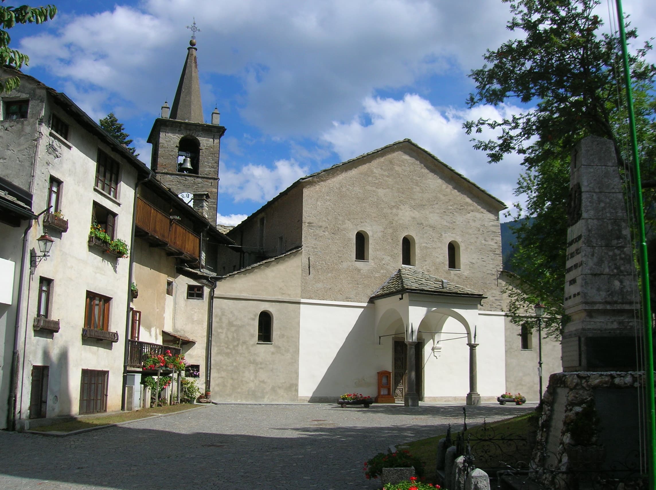
In the lower Val d'Ayas, Challand-Saint-Victor: a moderate climb through vineyards, meadows and forest toward upper hamlets.
Valle del Gran San Bernardo
6.9 km · +1231 m · E — from Villair to Tête de la Tronche (Great St Bernard Valley).
Valle del Gran San Bernardo
2.8 km · +398 m · E — from Villair to Trou des Romains (Great St Bernard Valley).
Val d'Ayas
6.3 km · +1402 m · E — from Zengji to Colle Marmontana (Ayas Valley).