
EE
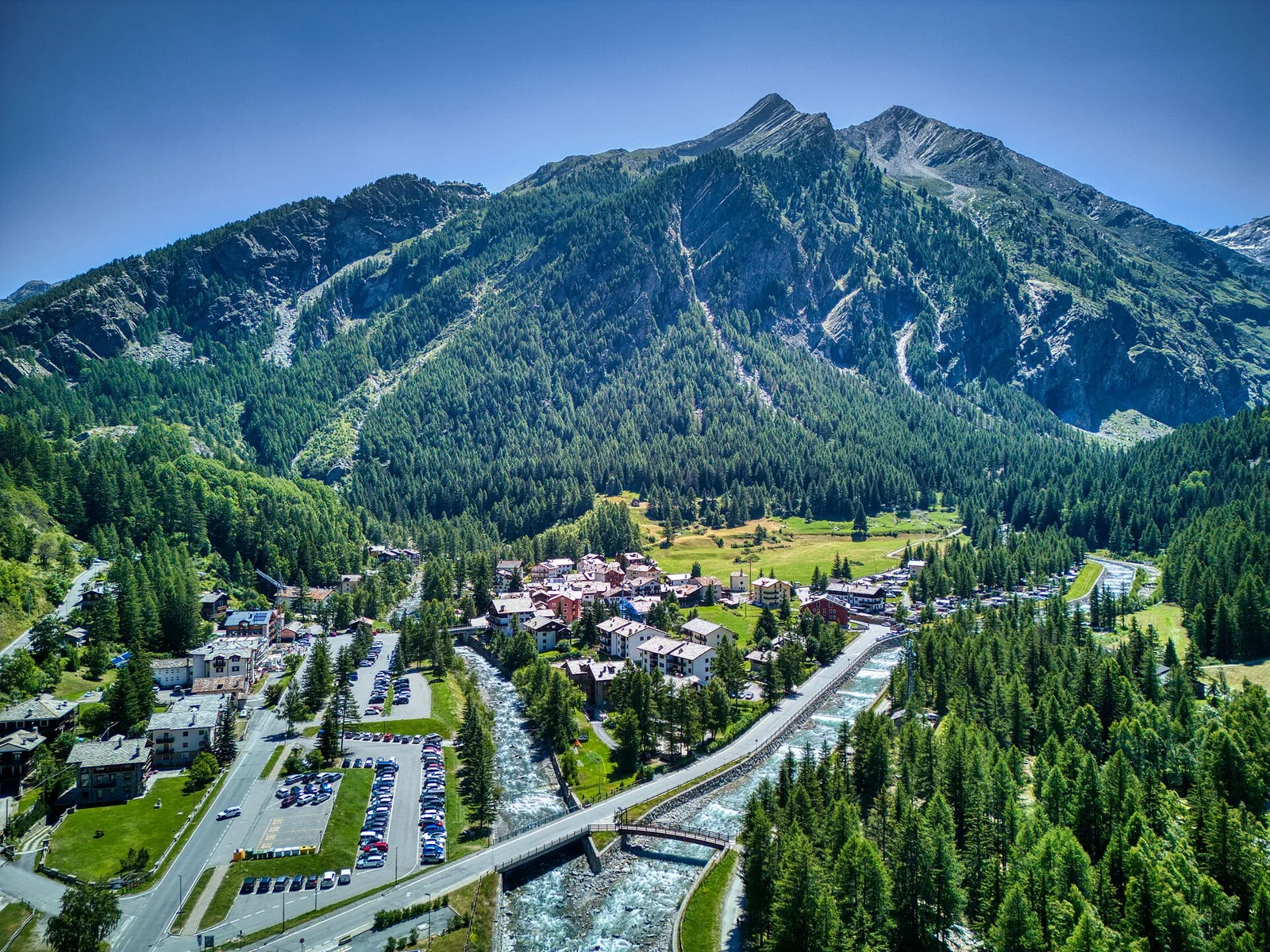
Valle centrale
Amponey - Mont Facebelle
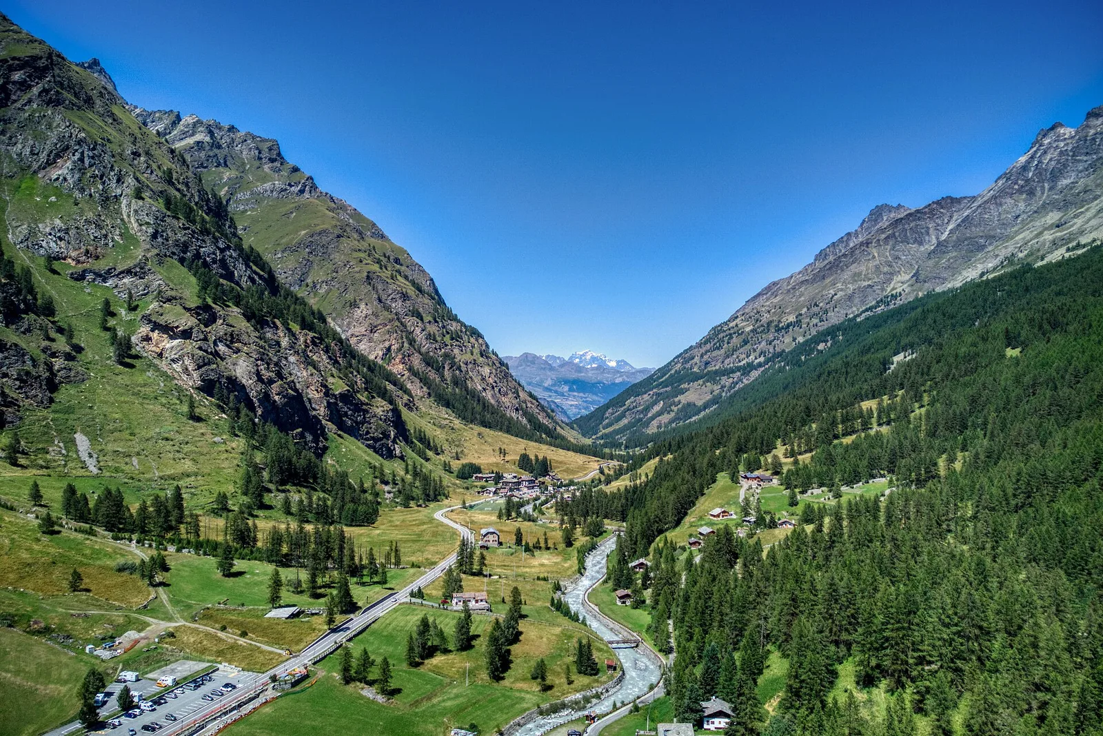
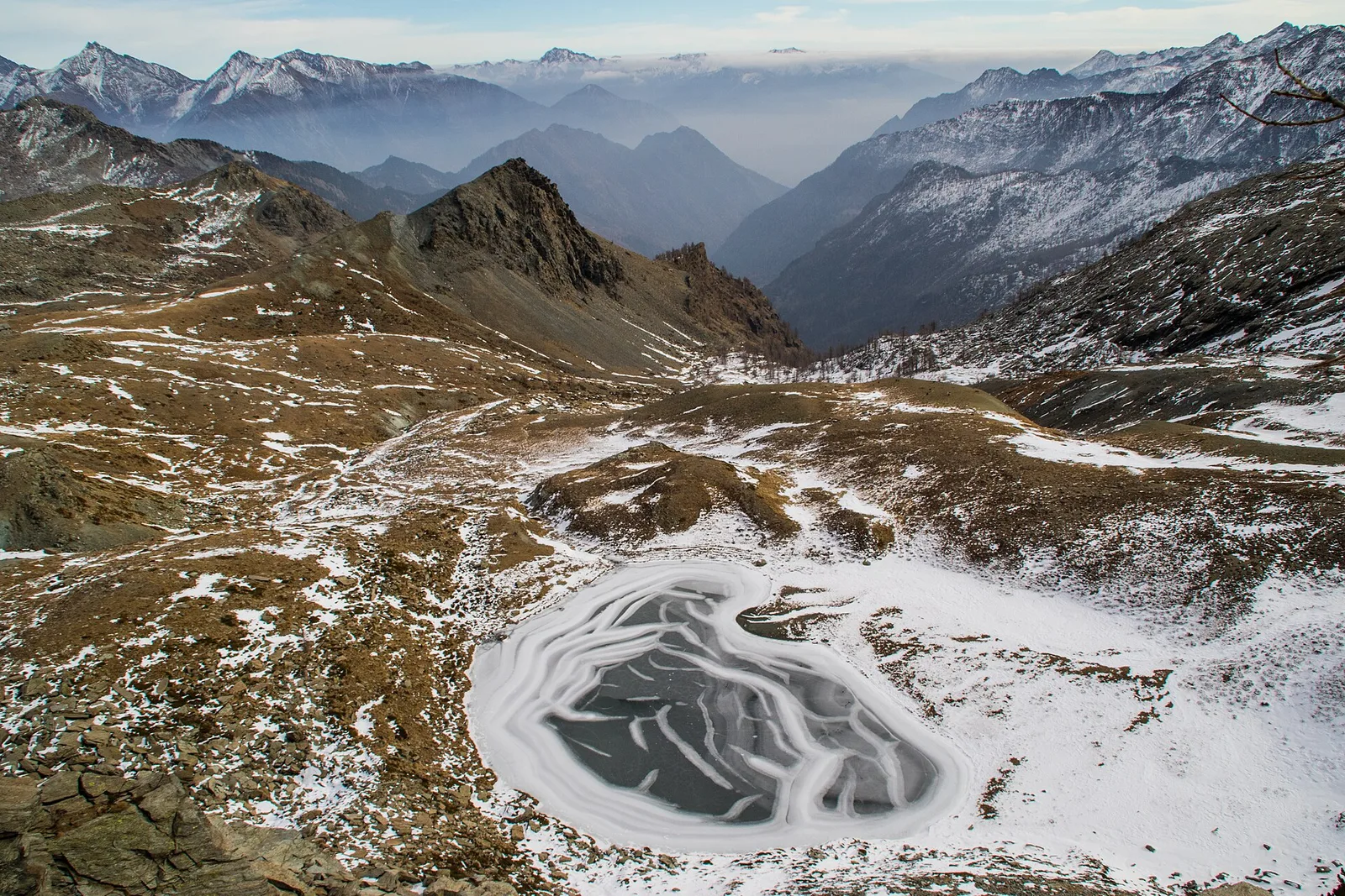
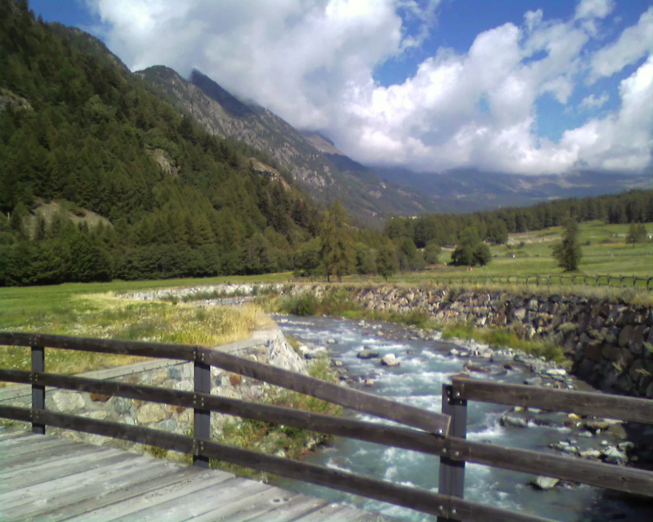
In the Val d'Ayas, Ayas: an E/EE-rated climb toward a high-altitude objective in the alpine landscape.
5.6 km+1077 m4 h
Where to spot
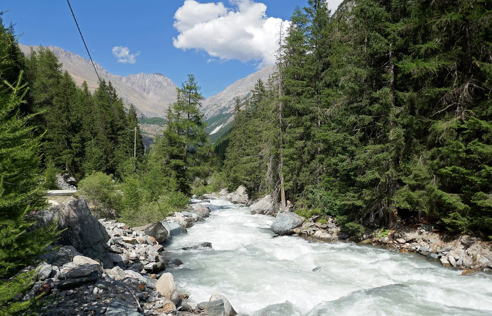
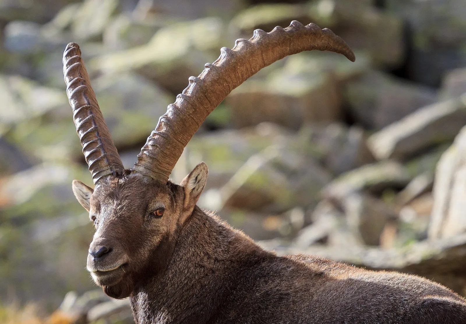
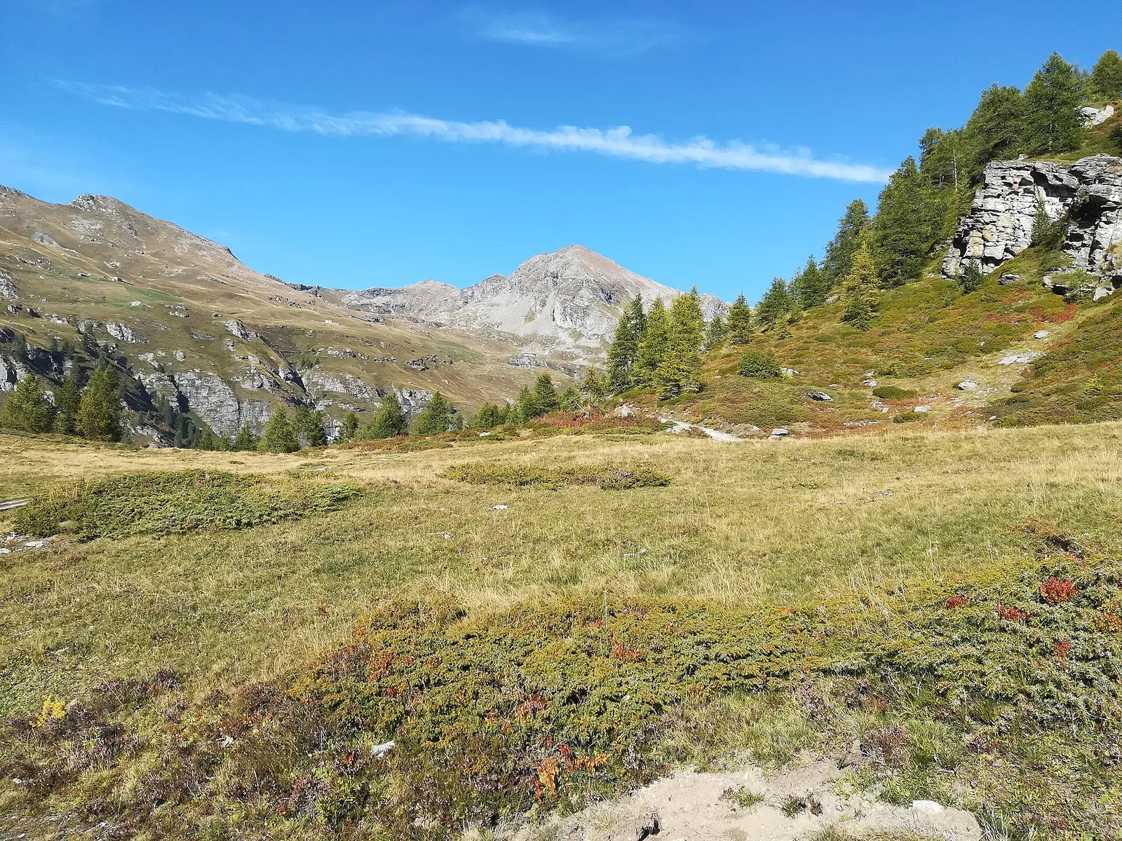
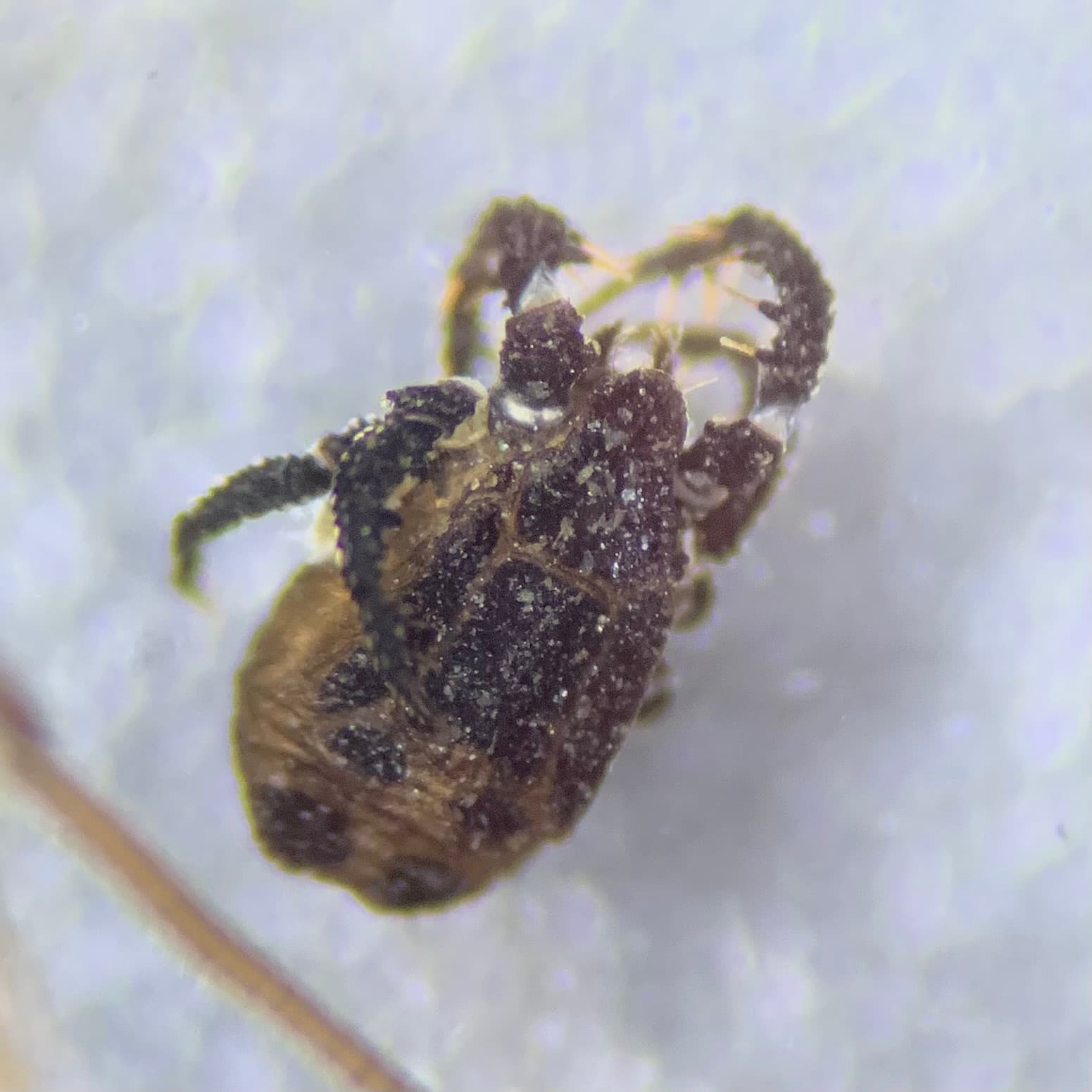
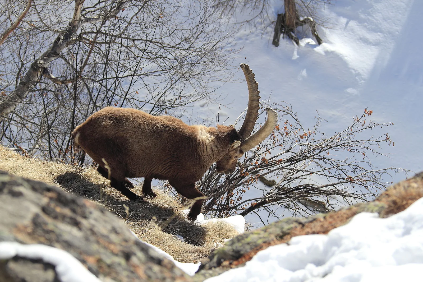
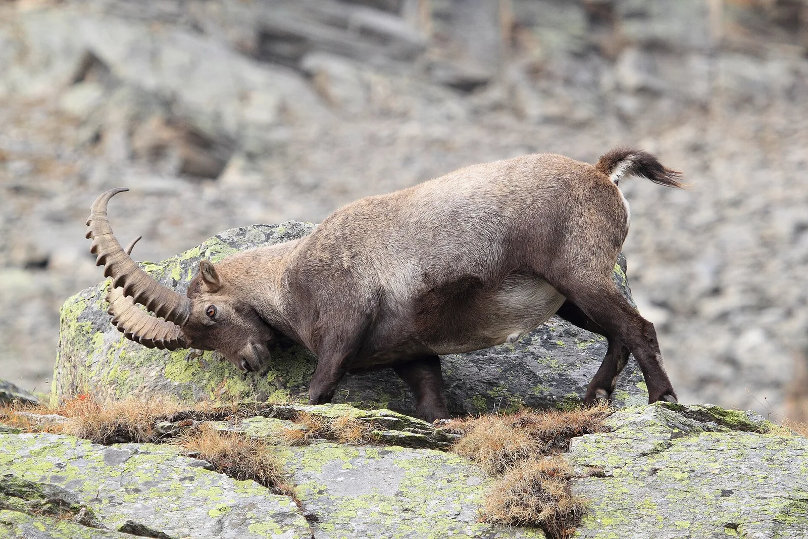
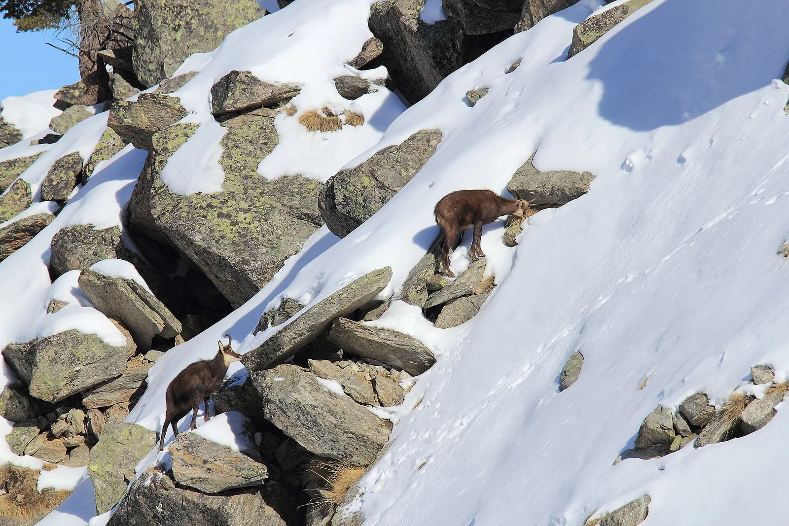
106 trails where Common juniper is listed in flora/fauna: difficulty T–EEA, elevation gain 0–1873 m.
106 · 0.6–15.9 km · +0–1873 m
Valle centrale
In the Val d'Ayas, Ayas: an E/EE-rated climb toward a high-altitude objective in the alpine landscape.
Valle centrale
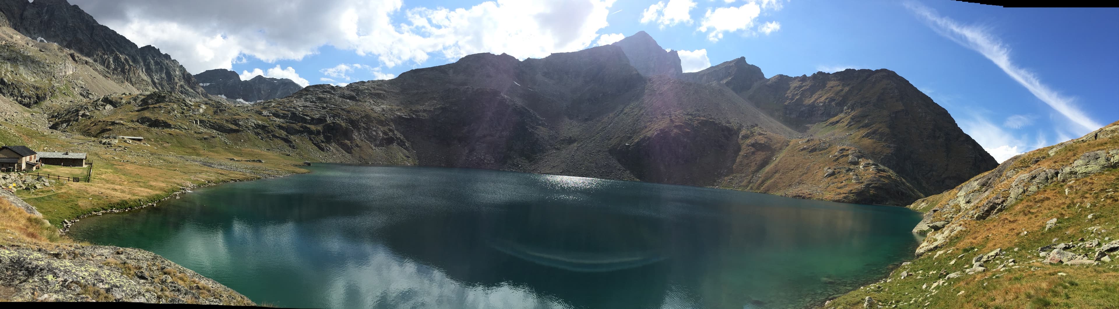
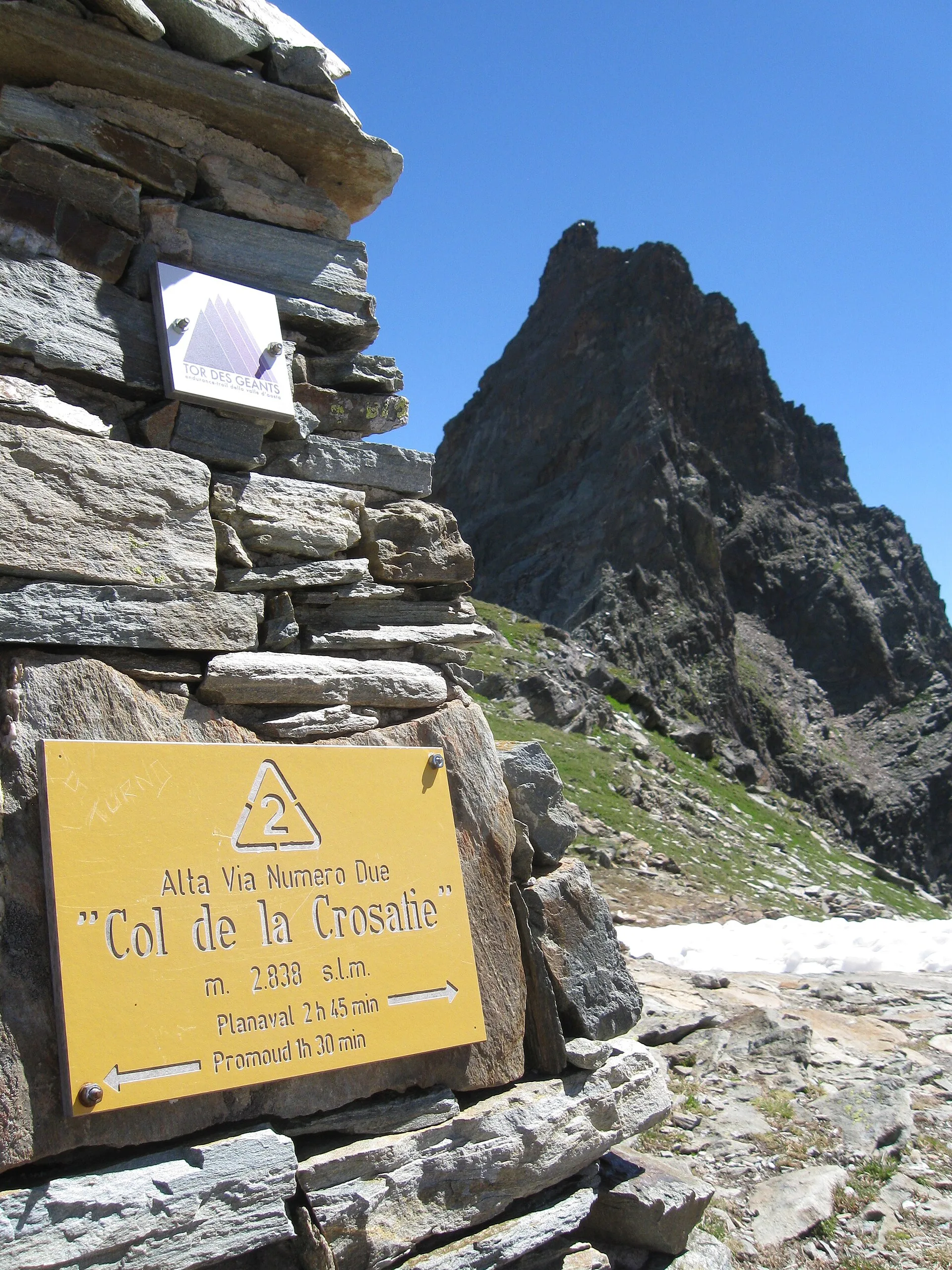
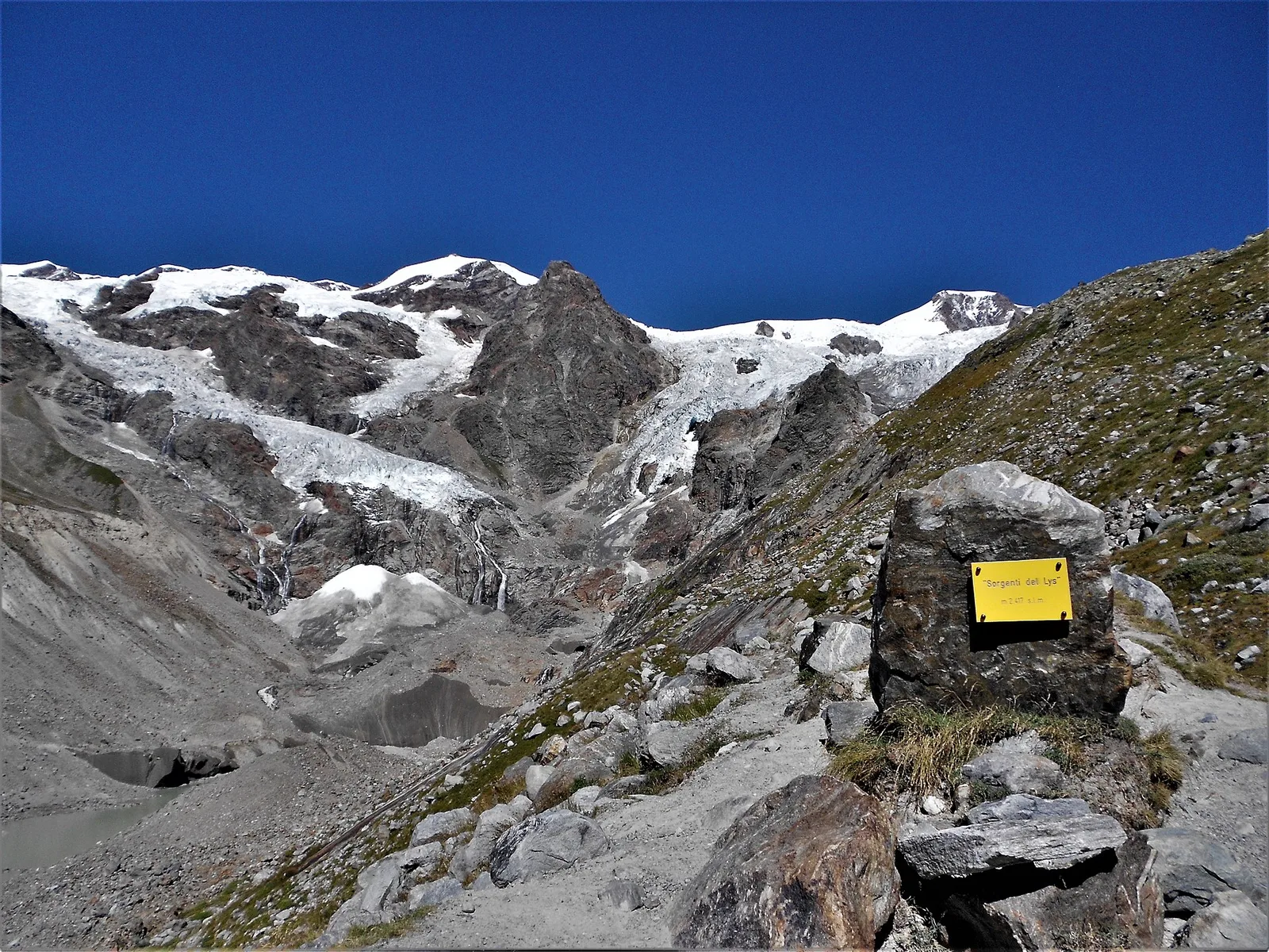
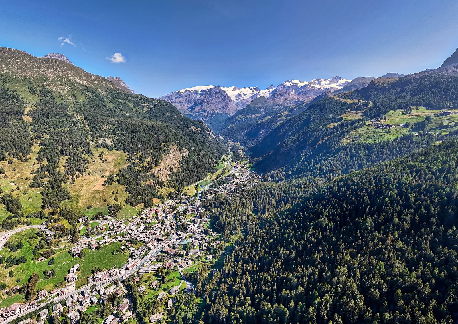
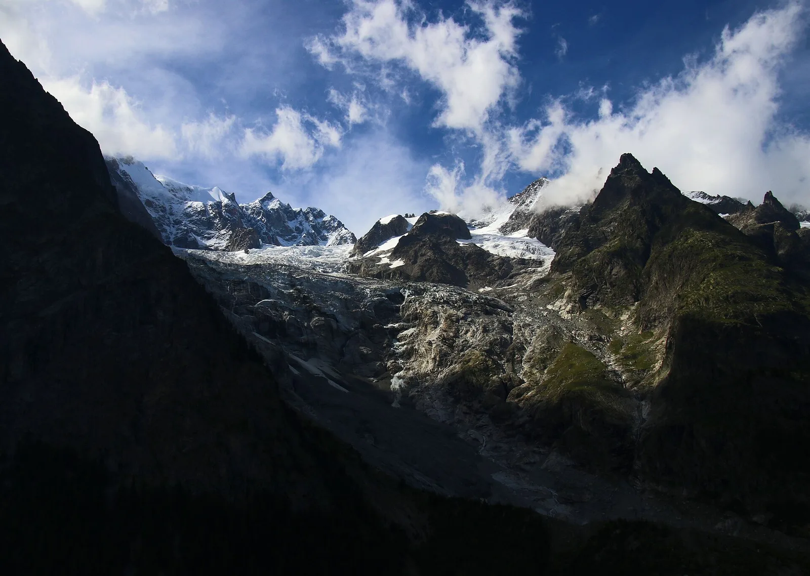
Commune of Ayas: an EE climb toward the high ground of the Vallone delle Cime Bianche.
Val d'Ayas
3.8 km · +608 m · E — from Arbaz to Tete de Comagne (Ayas Valley).

Valtournenche
From Arlier (603m) to Cloutraz (1067m) on the Châtillon hillside: 3.5 km E through vineyards, woodland and views over the Dora Baltea.

Valle centrale
2.7 km · +484 m · E — from Arsines to Col Fenetre (Central Valley).
Val di Cogne
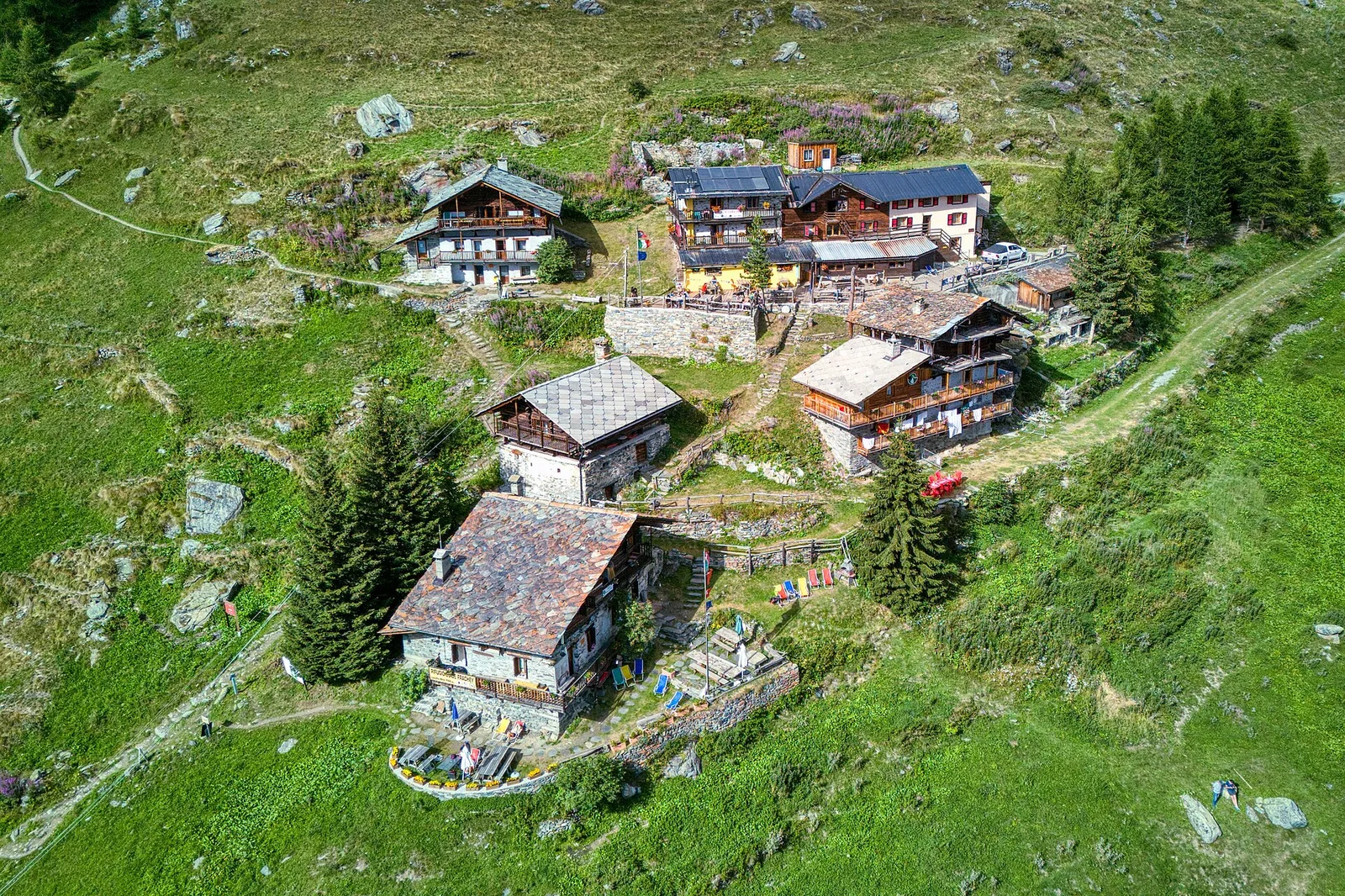
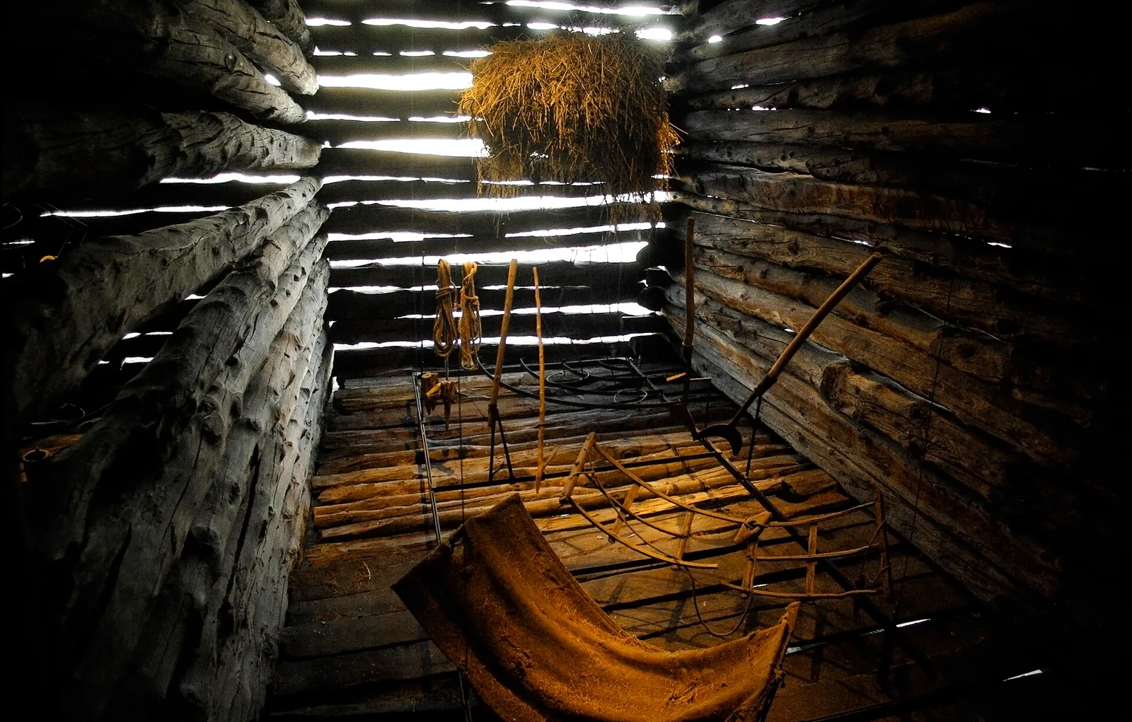
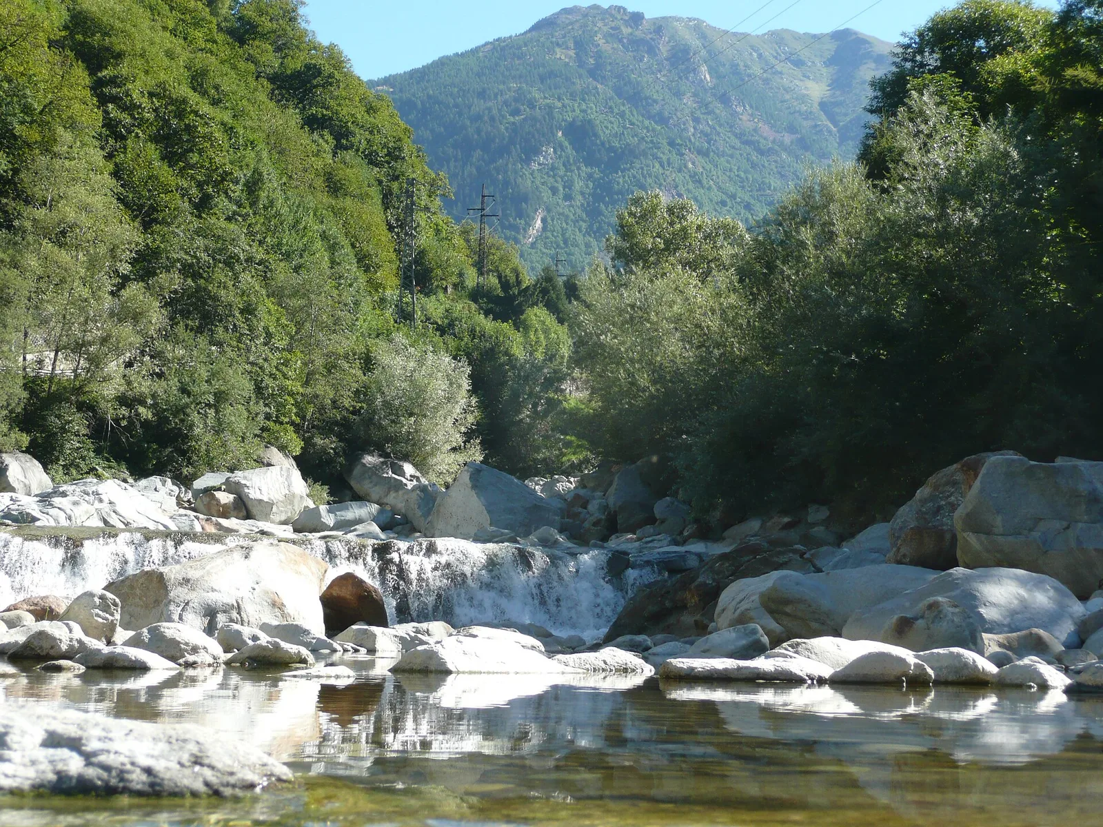
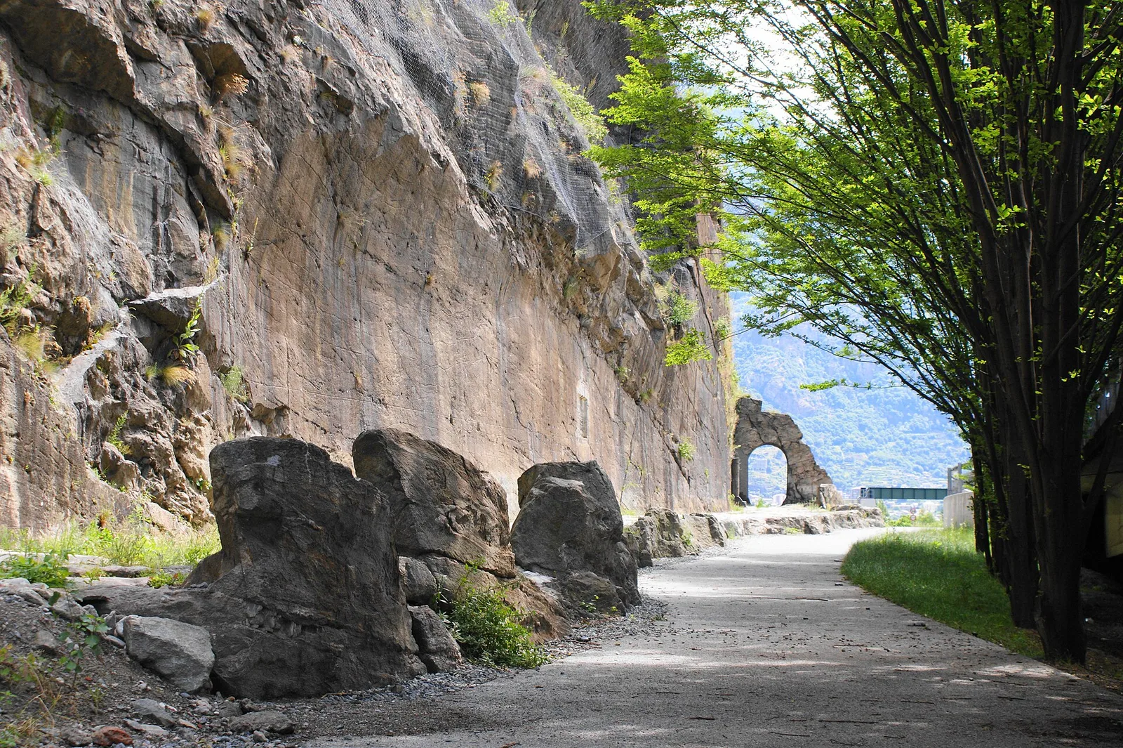
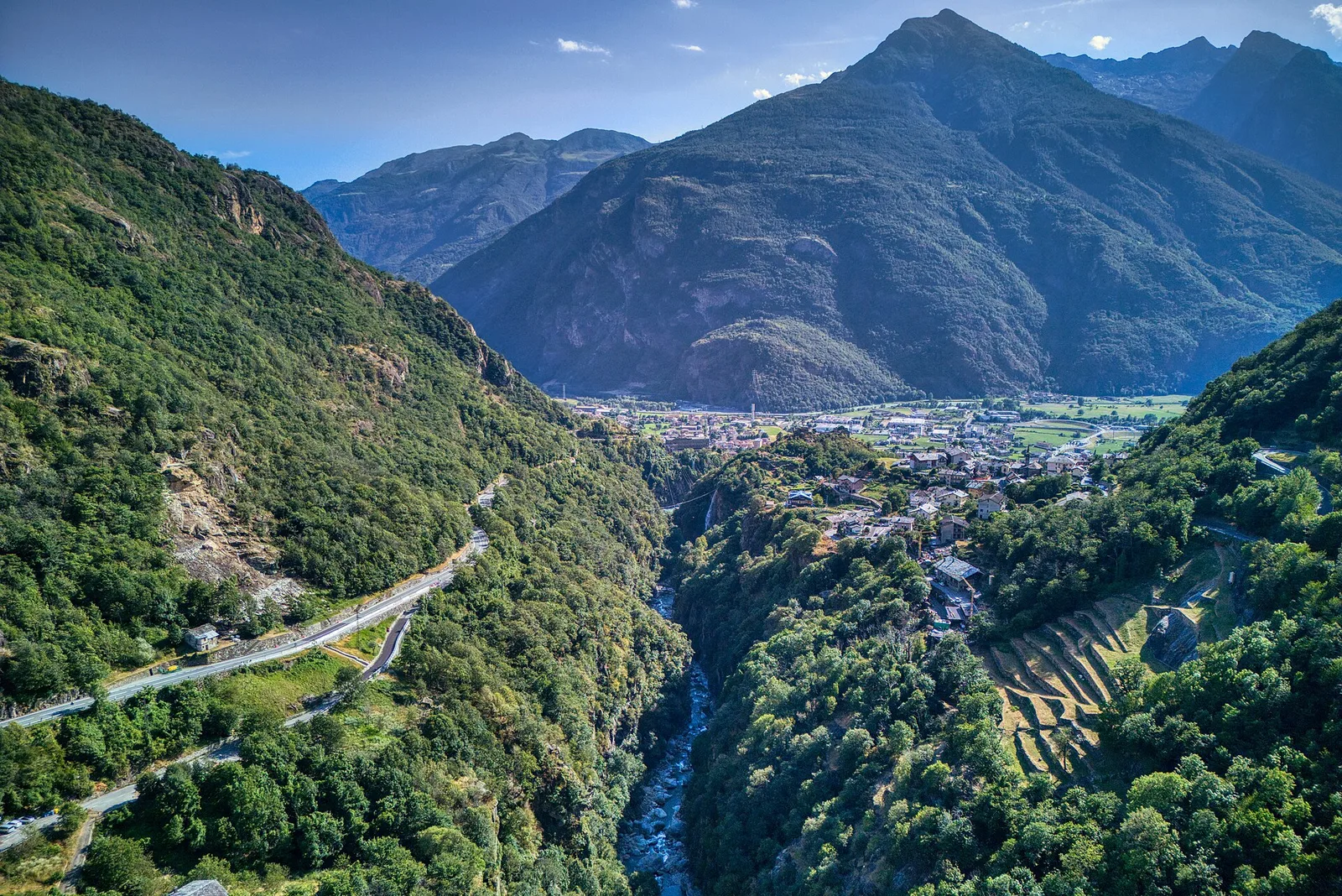
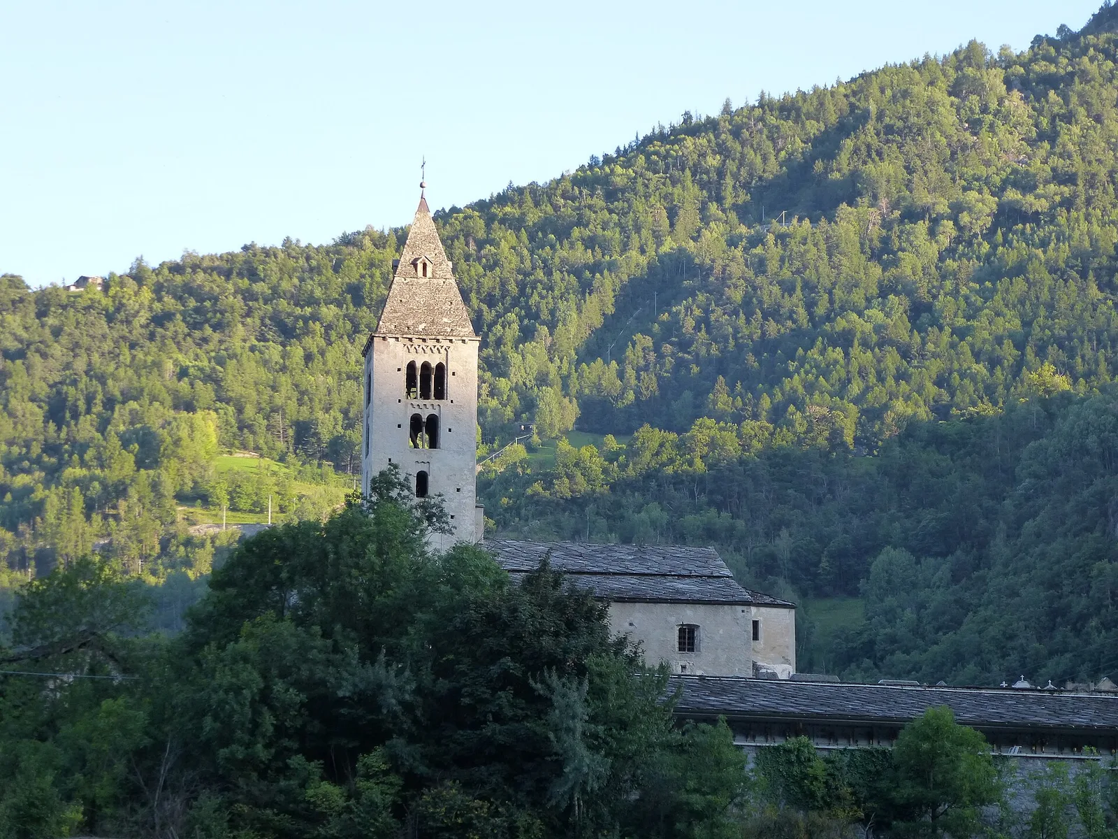
From Moulin to Pont d'Ael (885 m): a short walk to a 3 BC Roman aqueduct bridge, one of the finest preserved in the Alps.
Valpelline
3.3 km · +507 m · EE — from Berzin to Cappella di Saint-Evence (Valpelline).
Valle centrale
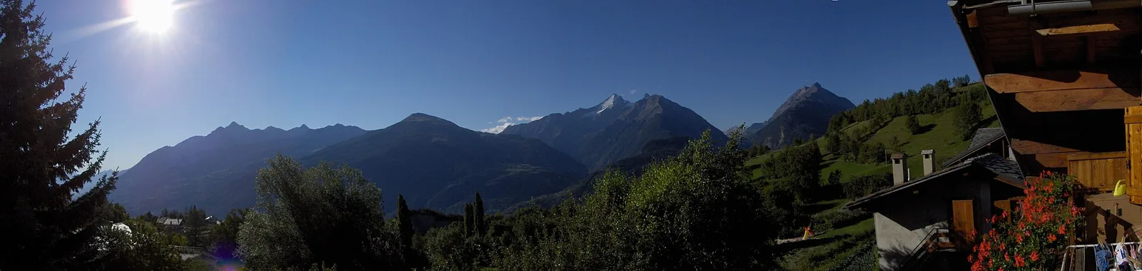
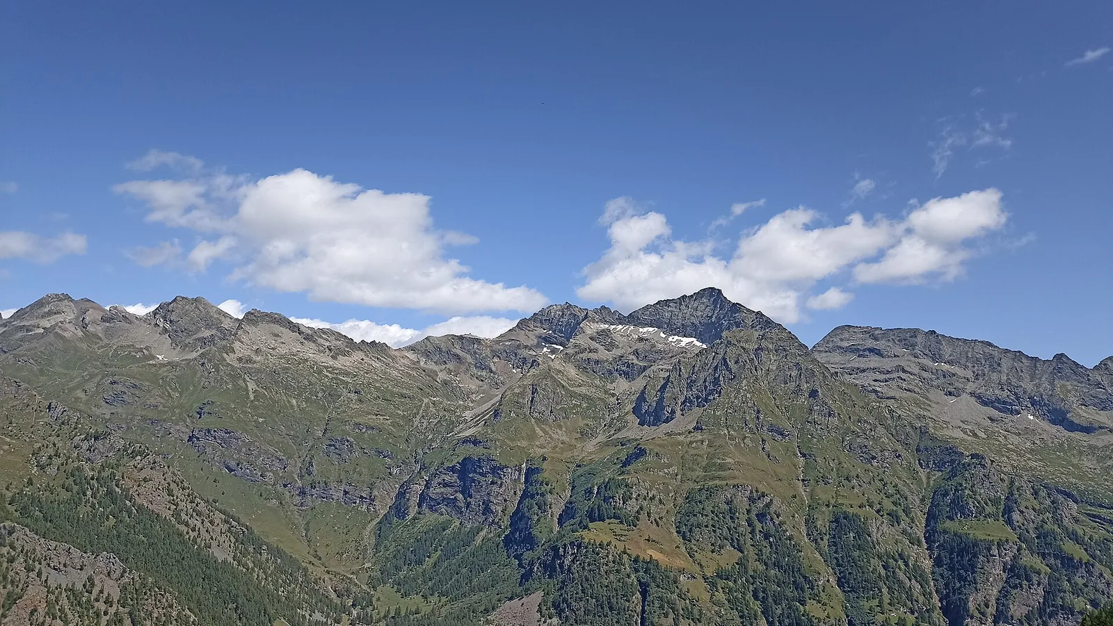
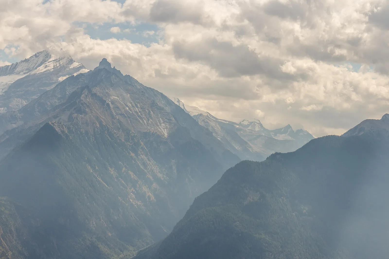
In the Monte Emilius massif: an EE route toward a pass or panoramic point on the ridges above the central Aosta Valley.
Valpelline
3.8 km · +694 m · E — from Blavy to La Bourra (Valpelline).
Valle centrale
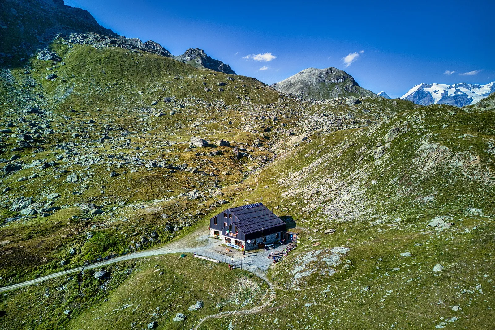
3.7 km · +763 m · EE — from Breuil-Cervinia to Rifugio Bobba (Central Valley).
Val d'Ayas
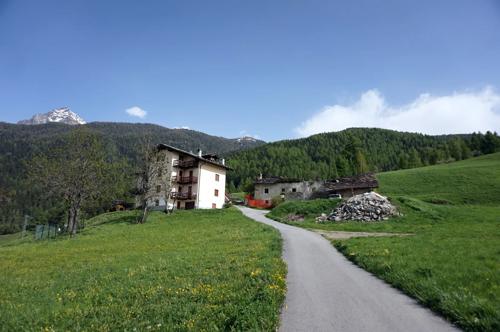
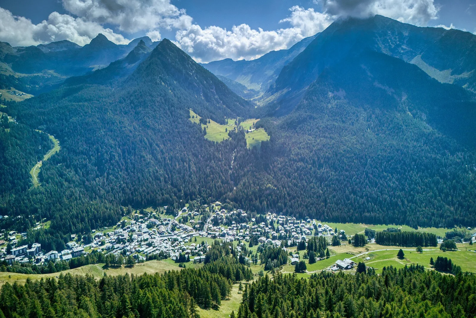
In the commune of Brusson, Val d'Ayas: an accessible route among pastures and hamlets with panoramic views.
Valle centrale
2.8 km · +516 m · E — from Buthier to Alpe e Rifugio Chaligne (Central Valley).
Valle centrale
0.6 km · +159 m · E — from Cerlogne to Vens (Central Valley).
La Thuile
9.9 km · +1873 m · E — from Chabodey to Passo Alto (Haut-Pas) (La Thuile).
Valle del Lys
2.8 km · +391 m · E — from Champlong to Montroz (Lys Valley).

Valtournenche
10.1 km · +1406 m · E — from Champrocher to Col Laris (Valtournenche).
Valle del Gran San Bernardo
1.8 km · +74 m · T — from Chanavey to Bruil, Foyer de Fond (Great St Bernard Valley).
Valle centrale
5 km · +867 m · E — from Charrière to Vetan (Central Valley).
Valpelline
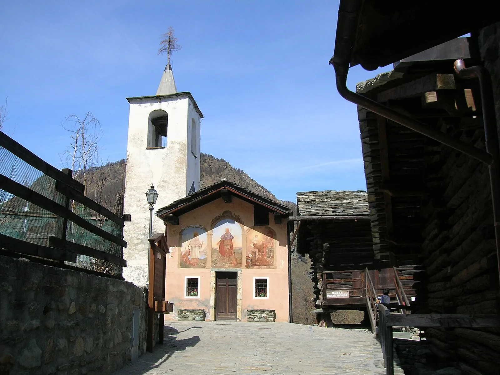
1.3 km · +176 m · E — from Chaté to Musée Petit Monde (Tiatel) (Valpelline).
Valle centrale
5 km · +1299 m · EE — from Parcheggio Cheneil to Mont Roisetta (Central Valley).
Valle del Lys
4.1 km · +218 m · T — from Capoluogo to Cascata di Lillaz (Lys Valley).
Valle del Lys
2.8 km · +170 m · T — from Capoluogo to Valnontey (Lys Valley).
Valle del Lys
4 km · +440 m · E — from Col de la Fouclaz to Mont-Valaisan (Lys Valley).
Valle centrale
3.3 km · +921 m · E — from Collaré to Mont de Beuby (Central Valley).
Valle del Lys
4.4 km · +920 m · EEA — from Colle Bettaforca to Rifugio Quintino Sella (Lys Valley).
Valle del Lys
4.9 km · +831 m · E — from Cré to Croix de Bouque (Lys Valley).
Valtournenche
3.6 km · +909 m · E — from Croce della Missione to Gias Desot (Valtournenche).
Val d'Ayas
10.2 km · +1325 m · E — from Eaux-Rousses to Col de l'Entrelor (Ayas Valley).
Valle centrale
2.5 km · +364 m · E — from Fossaz, strada carrozzabile per Vens to Vens (Central Valley).
Valle di Champorcher
2.3 km · +602 m · E — from Frassiney to Borney (Champorcher Valley).
Valle centrale
0.6 km · +46 m · E — from Gerbore to Vetan (Central Valley).
Val d'Ayas
2 km · +441 m · T — from Pasquier to La Croix (Ayas Valley).
Val d'Ayas
2.8 km · +497 m · T — from Pasquier to La Croix (Ayas Valley).
Valpelline
3.7 km · +1428 m · EE — from Glacier to Rifugio Amianthe (Valpelline).
Valtournenche
1.1 km · +265 m · EE — from Gontier to Grand-Mont-Blanc (Valtournenche).
Valle del Lys
5.6 km · +1032 m · E — from Grand Haury to Cou (Lys Valley).
Valtournenche
2.3 km · +557 m · E — from Grand Moulin to Triatel (Valtournenche).
Valtournenche
In the commune of Torgnon, Valtournenche: an E-rated route through hamlets, forest and pastures with panoramic views.
Valtournenche
1.7 km · +247 m · E — from Grand-Rosier to Col de Plan Fenetre (Valtournenche).
Valle del Lys
5.6 km · +1012 m · E — from Gressan , Clapey to Pila (Residence Ciel Bleu) (Lys Valley).
Valle del Lys
5.4 km · +1403 m · EE — from Gressoney-la-Trinité to Piccolo Rothorn (Lys Valley).
Valle del Gran San Bernardo
5.5 km · +1202 m · E — from Hermitage to Col Licony (Great St Bernard Valley).
Valle centrale
2.4 km · +23 m · T — from Cappella di Saint-Pantaléon to Saint-Evence (Central Valley).
Valle del Gran San Bernardo
2.4 km · +774 m · E — from La Palud to Pavillon (Great St Bernard Valley).
Valle del Lys
7.8 km · +1322 m · EE — from Le Crin to Col Lavodilec (Lys Valley).
Valle centrale
4.8 km · +1248 m · E — from Le Miriou to Punta Prial (Central Valley).
Valle del Lys
4 km · +593 m · E — from Combes to Plan Bry (confine comunale Valgrisenche) (Lys Valley).
Valle del Gran San Bernardo
2.8 km · +802 m · E — from Lihrla to Alpe Grignatz (Great St Bernard Valley).
Valle centrale
7.6 km · +1544 m · E — from Lo Pian to Arvueil (Central Valley).
Valtournenche
5.7 km · +1137 m · E — from Lusey to Alpe Ponton (Valtournenche).
Valle del Lys
3.2 km · +339 m · E — from Marchaucy to Ponteille (Lys Valley).

Valle centrale
3.9 km · +830 m · E — from Marine to Col Fênetre (Central Valley).
Valtournenche
7.7 km · +299 m · E — from Menthieu, partenza poderale to Incrocio 14A-13/14 (Alpe Revéraz-Dèsot) (Valtournenche).

Valtournenche
5.7 km · +980 m · E — from Menthieu, partenza poderale to Forclaz du Bré (Valtournenche).
Valle del Lys
8 km · +1466 m · E — from Miserègne to Ponton (Lys Valley).
Valpelline
4.8 km · +167 m · E — from Mognod to Saint-Evence (Valpelline).
Valpelline
6.2 km · +910 m · E — from Châté to Mont Méabé (Valpelline).
Valtournenche
8.8 km · +1603 m · E — from Monteil to Lac Liet (Valtournenche).
Valle del Gran San Bernardo
3.6 km · +850 m · E — from Niel to Col Lazouney (Great St Bernard Valley).
Valtournenche
3.9 km · +1057 m · E — from Omens to Bec de l'Oie (Valtournenche).

Valtournenche
2.2 km · +442 m · E — from Outre l'Eve to Alpe Monpey (Valtournenche).
Valtournenche
4.4 km · +515 m · E — from Outre l'Eve to Outre l'Eve (Valtournenche).
Valle centrale
2.3 km · +178 m · E — from Pâquier to Lago Loz (Central Valley).
Valpelline
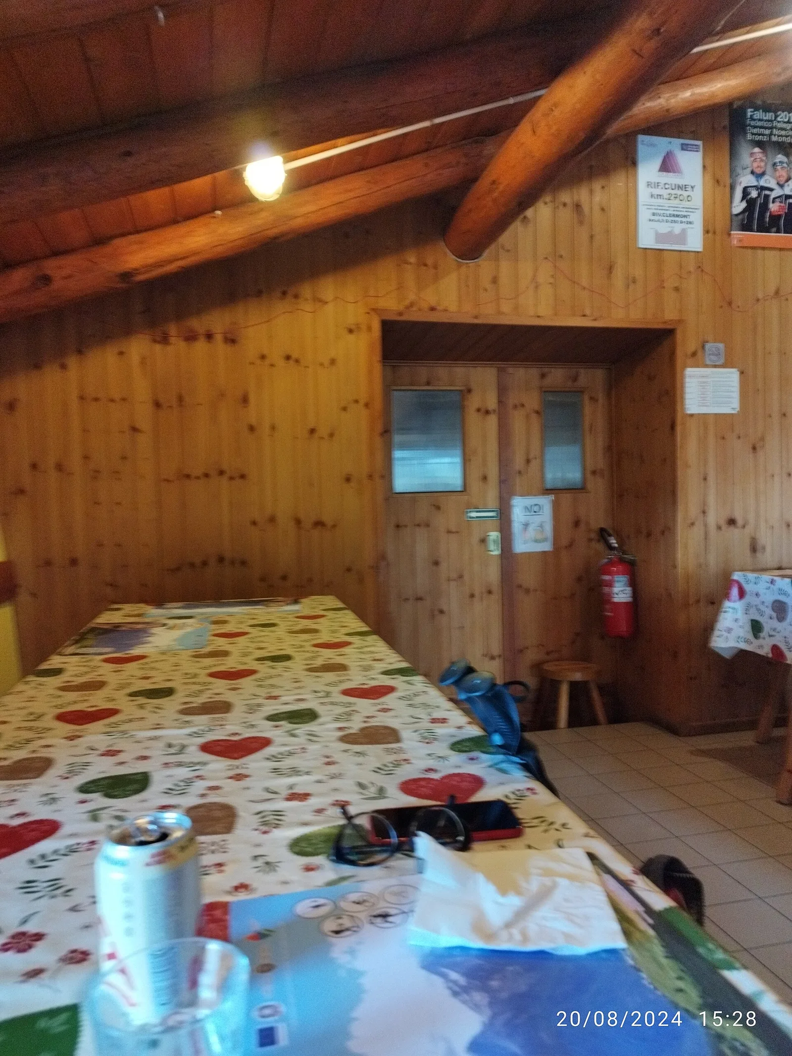
6.2 km · +830 m · E — from Porliod to Rifugio Oratorio di Cunéy (Valpelline).
Valle del Gran San Bernardo
2.3 km · +378 m · EE — from Pavillon to Morena Thoula (Great St Bernard Valley).
Valle centrale
1 km · +176 m · T — from Periasc to Antagnod (Central Valley).
Valle del Gran San Bernardo
1.6 km · +583 m · E — from Pianatz to Berord (Great St Bernard Valley).
Val d'Ayas
2.3 km · +307 m · E — from Capoluogo to Salomon (Ayas Valley).
Valle centrale
0.8 km · +156 m · E — from Pilaz to Magnéaz (Central Valley).
Valle centrale
1.5 km · +163 m · E — from Plan de la Glaea to Gouffres de Bousserailles (Central Valley).
Valle centrale
2.4 km · +790 m · E — from Saint-Roch to Col de Plan Fenetre (Central Valley).
Valle del Gran San Bernardo
5.2 km · +200 m · T — from Plan Ponquet to Visaille (giro dei tre ponti) (Great St Bernard Valley).
Valle del Lys
1.8 km · +429 m · E — from municipio Pollein to Chenoz (Lys Valley).
Valle del Lys
8.2 km · +936 m · E — from Pommier to Plan Clavalité (Lys Valley).
Val d'Ayas
1.1 km · +36 m · T — from Parcheggio Pont to Rifugio Tétras Lyre (Ayas Valley).
Val d'Ayas
5.8 km · +881 m · E — from Praviou to Rifugio Chabod (Ayas Valley).
Valtournenche
4.2 km · +198 m · E — from Confine comunale Arvier, Revers to Valgrisenche (Valtournenche).
Val di Cogne
4.2 km · +648 m · E — from Rifugio Arbolle to Col d'Arbolle (Cogne Valley).
Valtournenche
5.3 km · +807 m · E — from Rifugio Bezzi to Col Bassac Deré (Valtournenche).
Valle centrale
2.4 km · +464 m · EE — from Rifugio Grand Tournalin to Bec de Nannaz (Central Valley).
Valtournenche
4.2 km · +823 m · E — from Capoluogo to Alpe Riond (Valtournenche).
Valtournenche
3.2 km · +823 m · E — from Roisan to Riond (Valtournenche).
Valtournenche
2.6 km · +828 m · E — from Rovarey to Jas Dèsot (Valtournenche).
Valle centrale
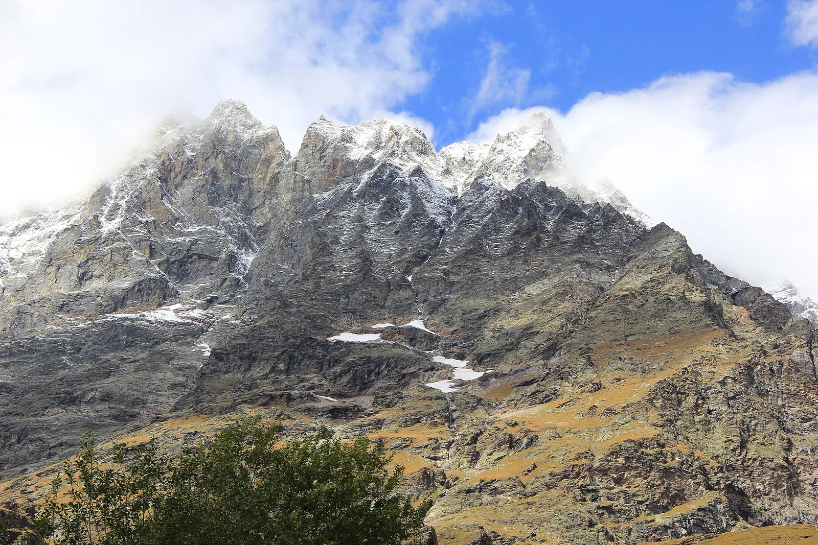
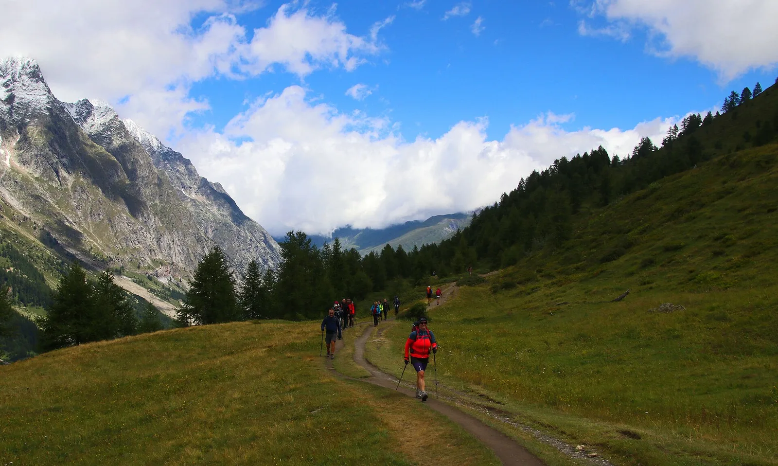
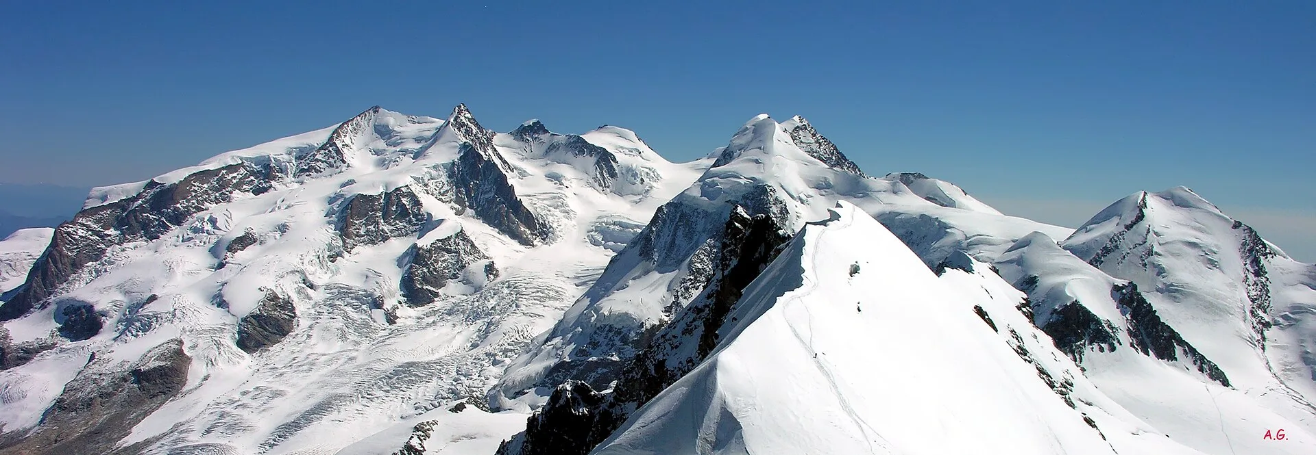
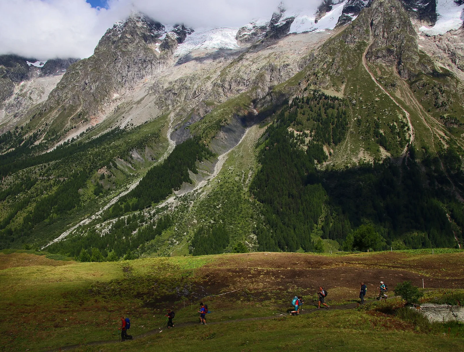
In the Val d'Ayas, Ayas: a steady E-rated climb toward high altitude with views of Monte Rosa.
Valle centrale
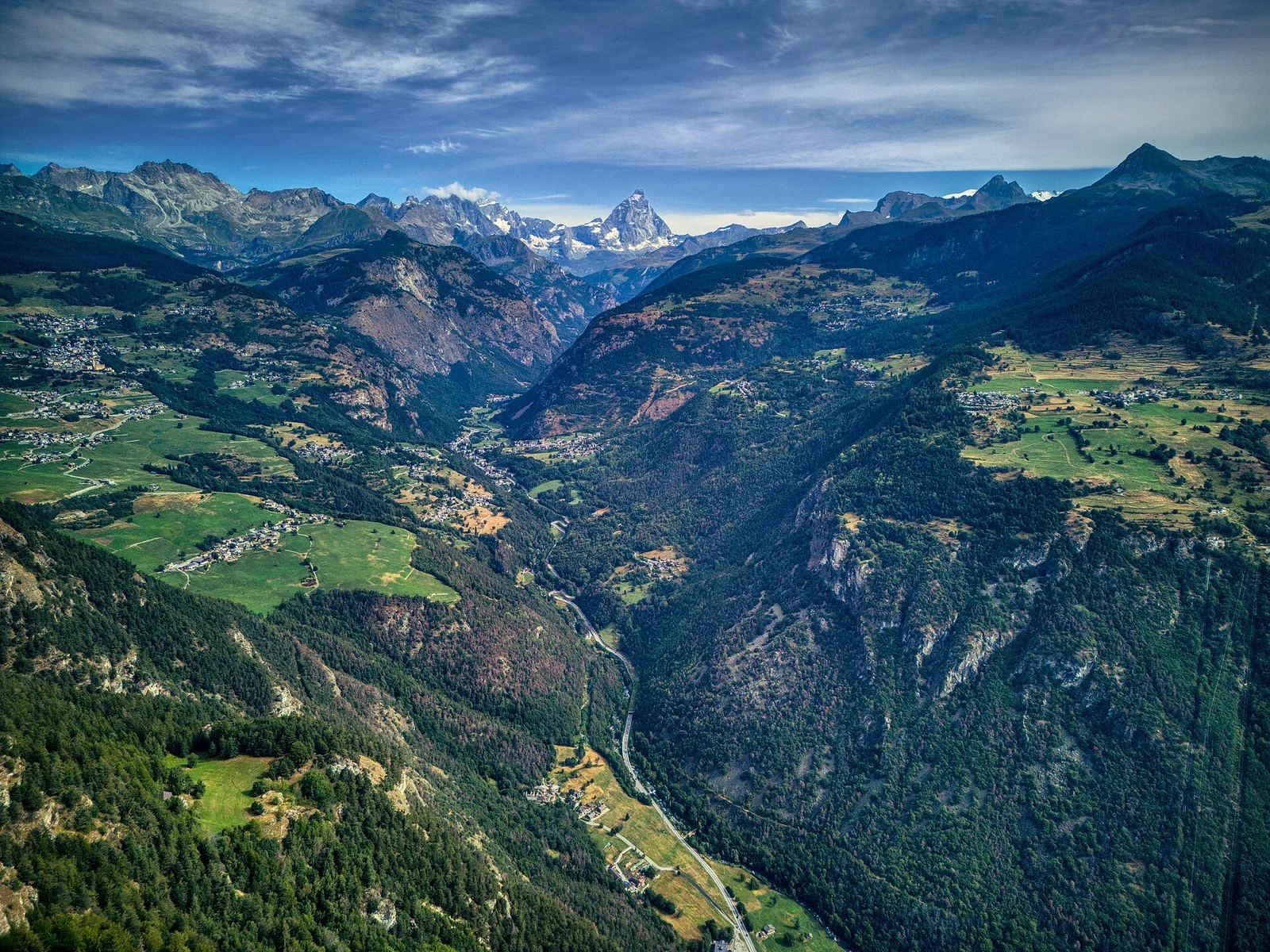
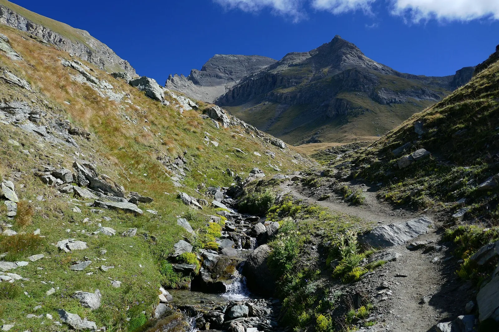
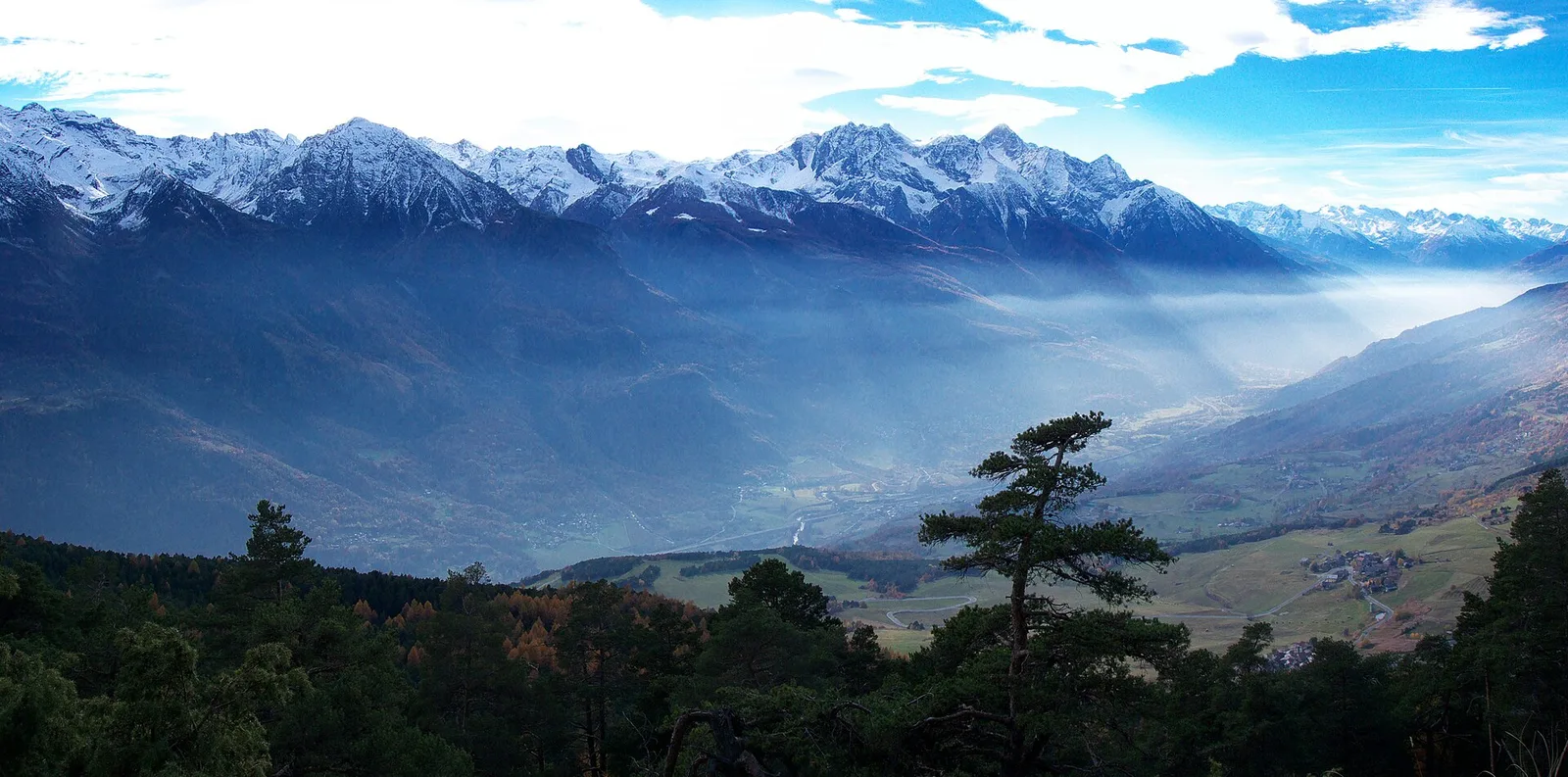
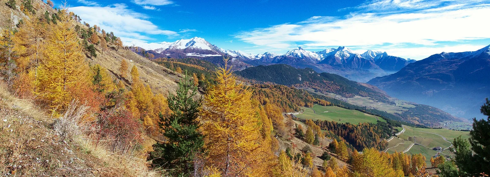
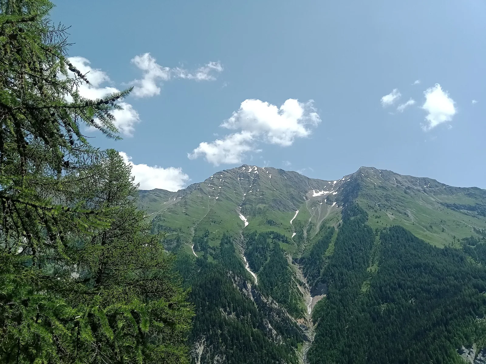
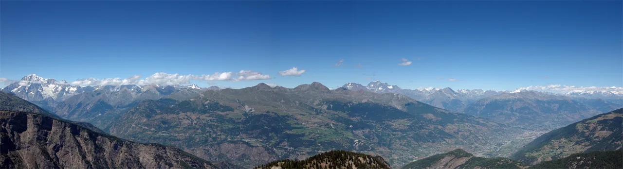
From Saint-Jacques (1,700 m) to the Col de Nannaz (2,770 m): 6.6 km and over 1,000 m of ascent with views over the central Aosta Valley ridges.
Valle del Gran San Bernardo
5.5 km · +663 m · E — from Seissogne to Innesto S12 (Great St Bernard Valley).
Valle del Lys
6.6 km · +1067 m · E — from Stafal to Col d'Olen (Lys Valley).
Valle di Champorcher
8.6 km · +1145 m · E — from Steina to Passo di Loo (Champorcher Valley).
Valle centrale
7.4 km · +1671 m · E — from Strada per Veulla to Mont Barbeston (Central Valley).
Val d'Ayas
2 km · +370 m · E — from Strada Regionale to Arbaz (Ayas Valley).
Valle centrale
2.2 km · +274 m · E — from Strada regionale per Arpy to Arpy (Central Valley).
Valtournenche
12.9 km · +1737 m · E — from Bourg to Sassa (Valtournenche).
Valle centrale
11.4 km · +1165 m · E — from Crest to Rifugio Grand Tournalin (Central Valley).
Valle del Gran San Bernardo
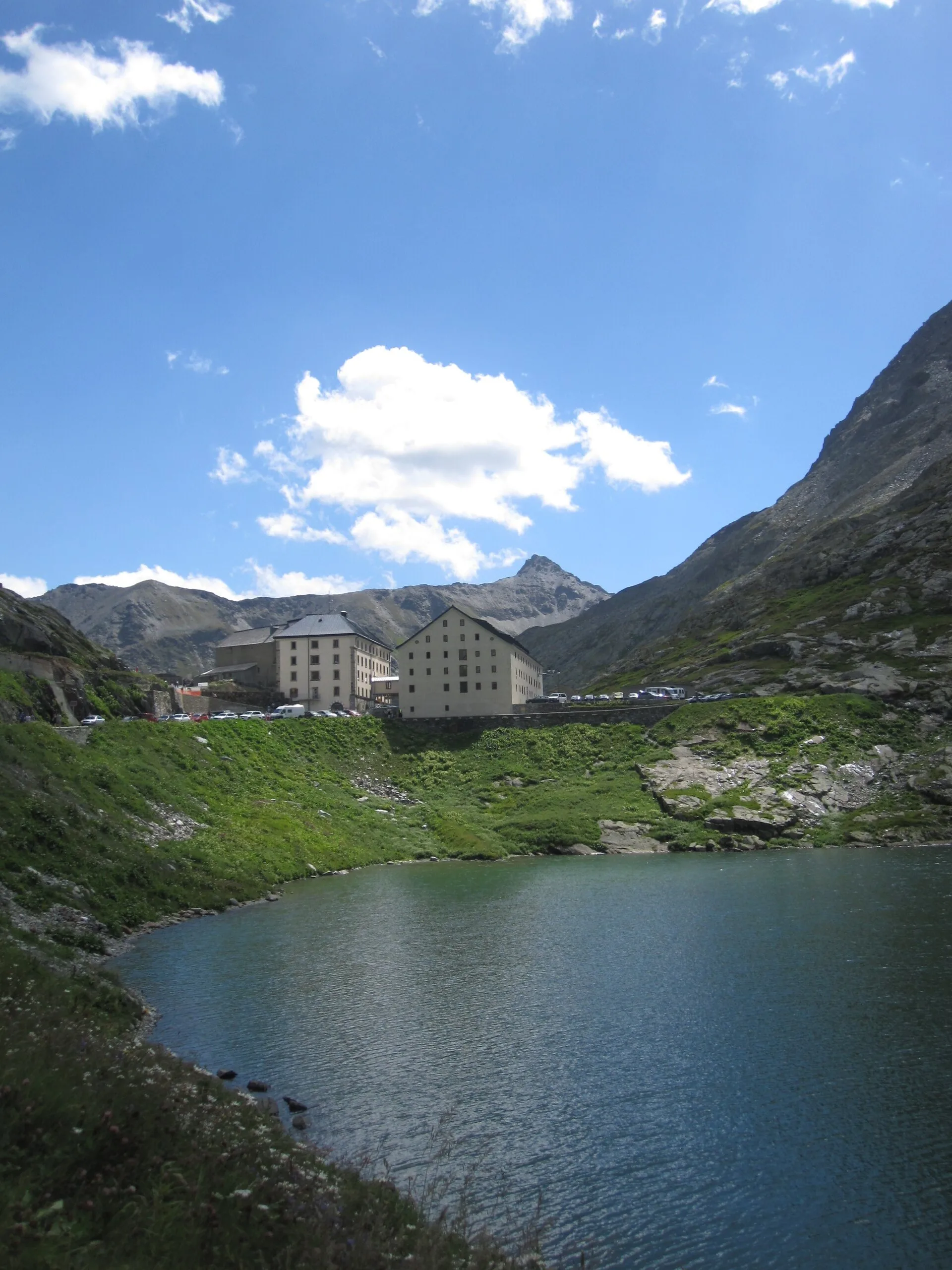
15.8 km · +0 m · EE — from Capoluogo to Eaux Rousses (Great St Bernard Valley).
Valtournenche
14.2 km · +1342 m · E — from Saint-Vincent to La Magdeleine (Valtournenche).
Valdigne
15.9 km · +1163 m · E — from Avise to Introd (Valdigne).
Val d'Ayas
9.5 km · +1634 m · E — from Tignet to Col Loson (Ayas Valley).
Valdigne
In the commune of La Salle, Valdigne: an accessible route through mixed forest and pastures with views of Mont Blanc.
Valle centrale
1.1 km · +191 m · E — from Verrogne to Vulmian (Central Valley).
Valle centrale
2.4 km · +151 m · E — from Verrogne to Vetan (Central Valley).
Valle centrale
3.9 km · +713 m · E — from Veynes to Valtolanaz (Central Valley).
Valle del Gran San Bernardo
6.9 km · +1231 m · E — from Villair to Tête de la Tronche (Great St Bernard Valley).
Valle del Gran San Bernardo
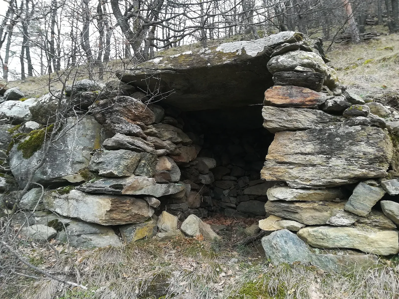
2.8 km · +398 m · E — from Villair to Trou des Romains (Great St Bernard Valley).
Valle del Gran San Bernardo
2.9 km · +151 m · E — from Lassy damon to Visaille (Great St Bernard Valley).
Valle centrale
4.2 km · +632 m · E — from Voix to Champromenty (Central Valley).
Val d'Ayas
1.5 km · +331 m · E — from Vollon (Brusson) to Salomon (Ayas Valley).