E
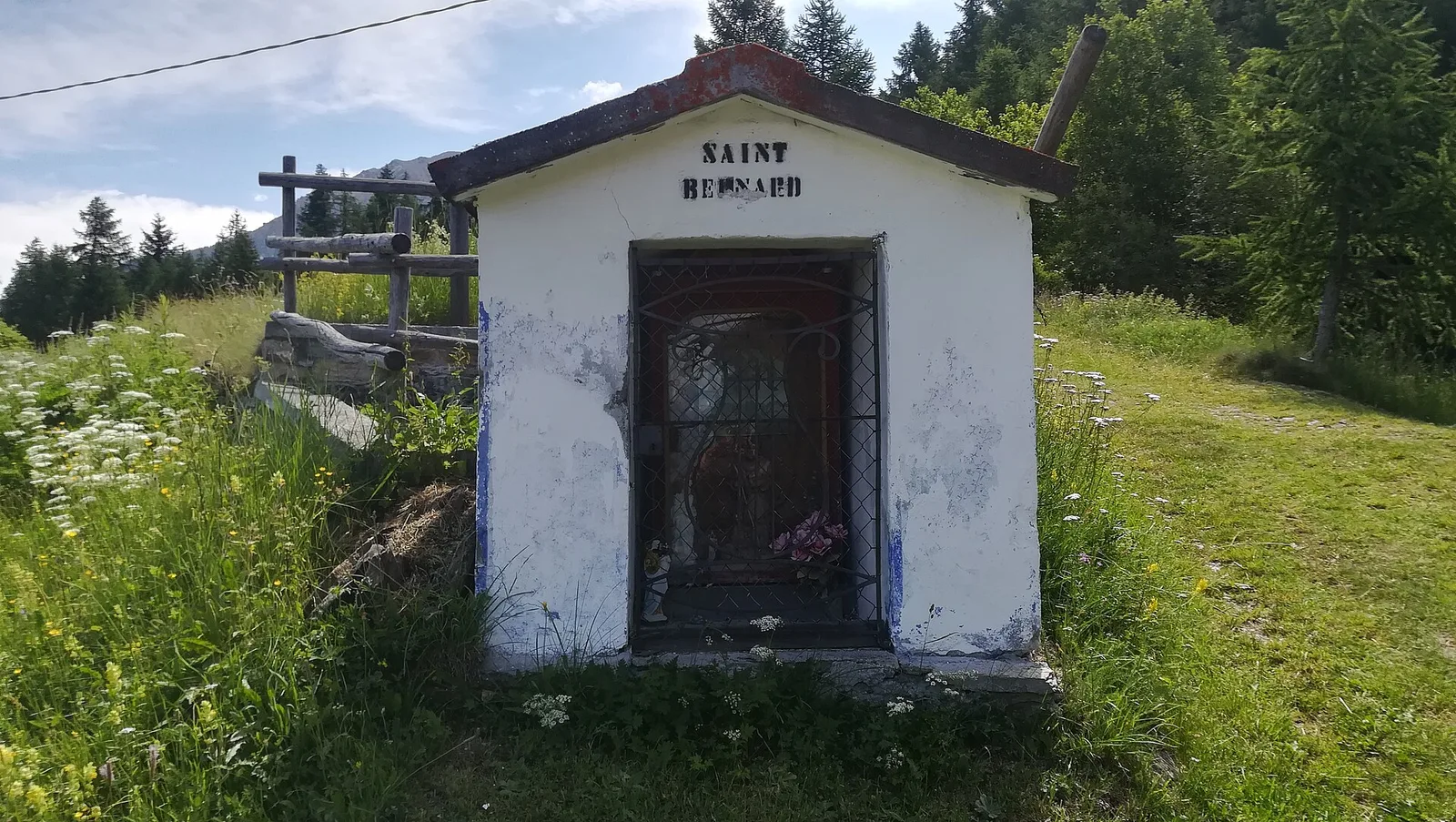
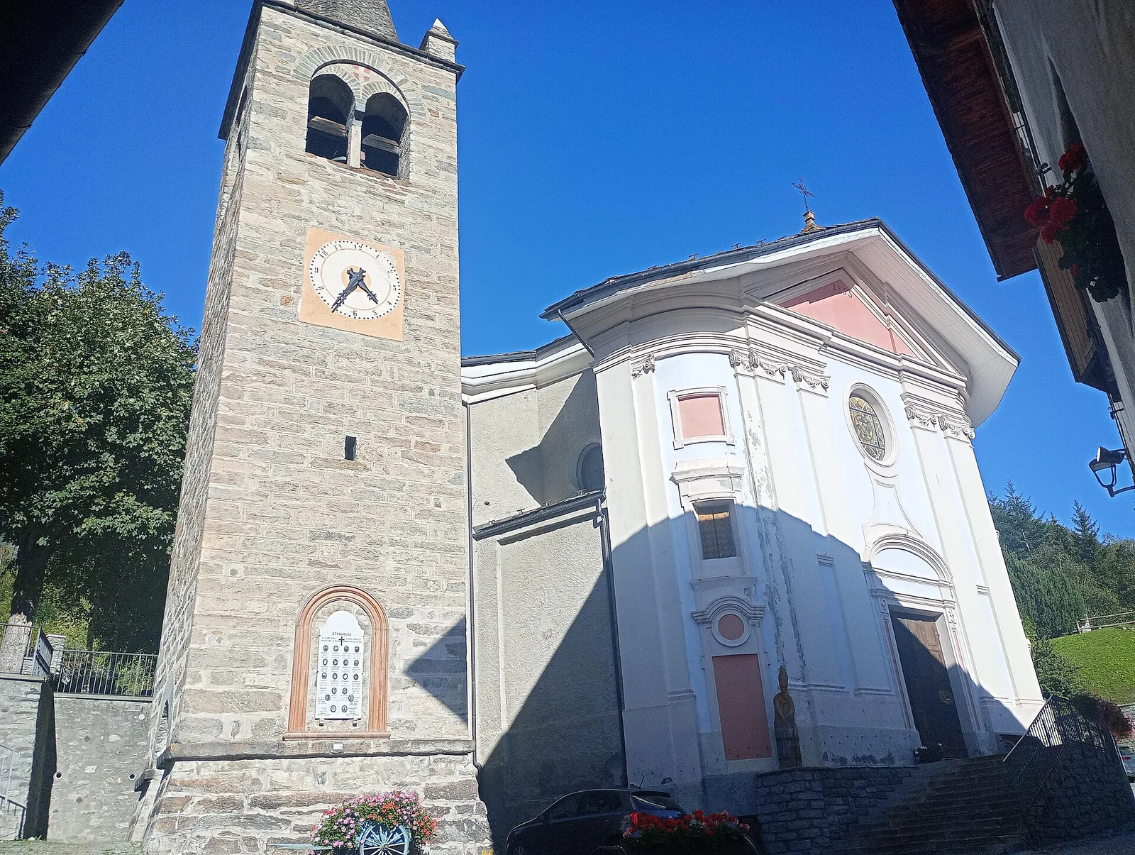
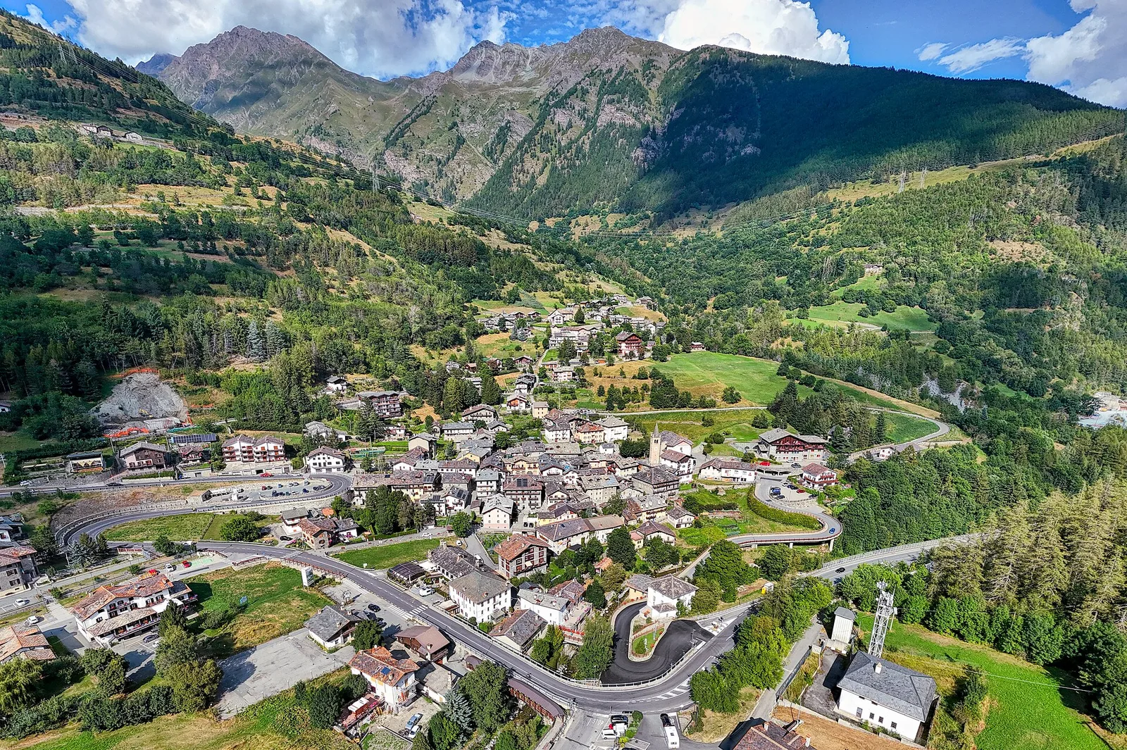
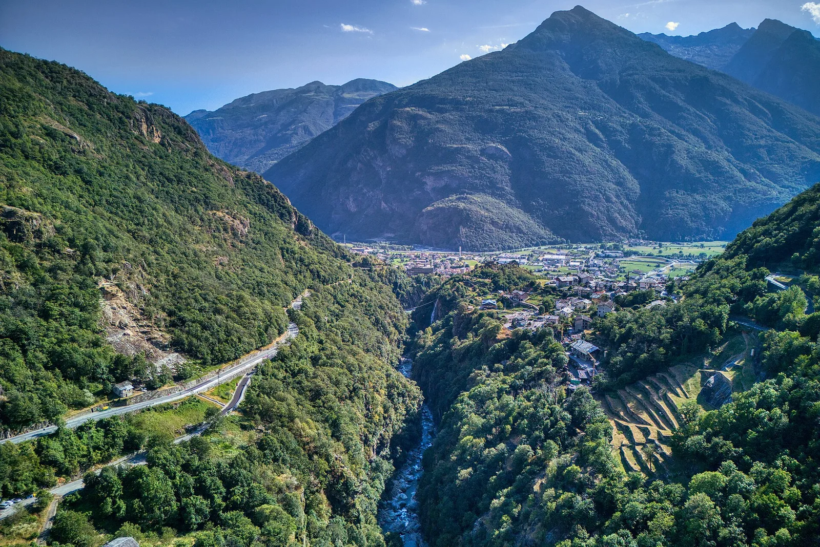
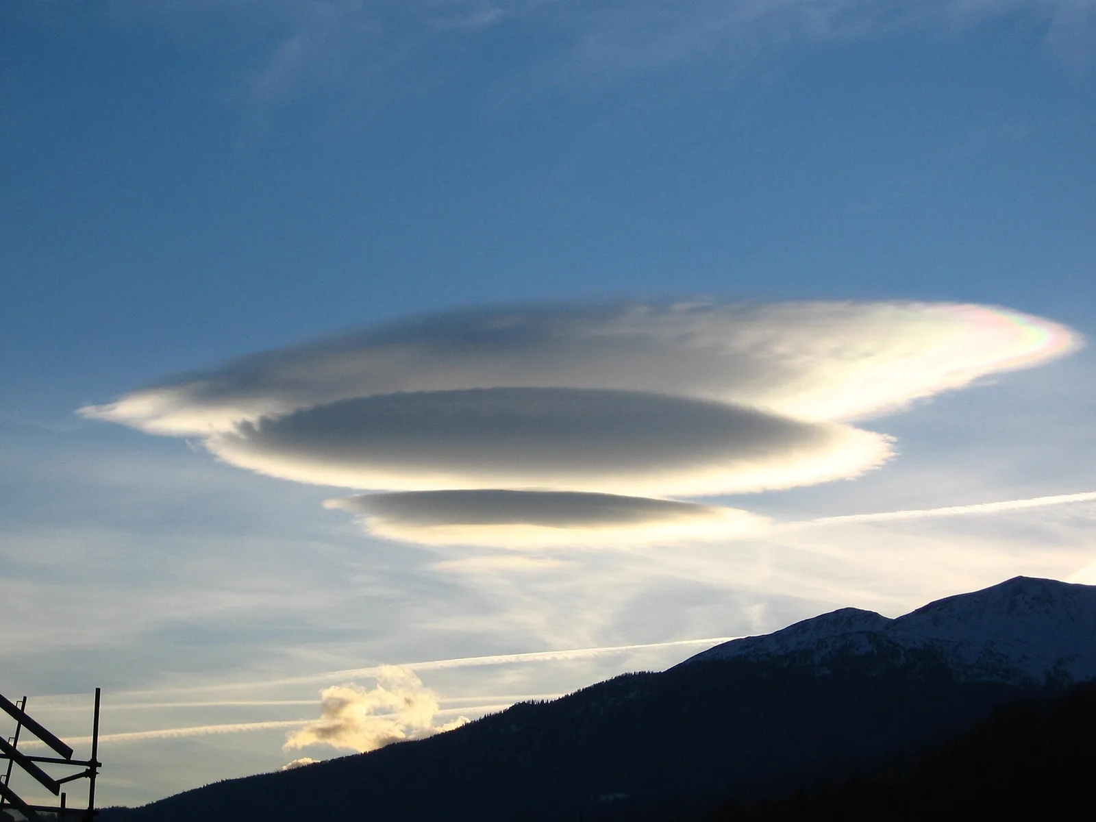
Valle del Gran San Bernardo
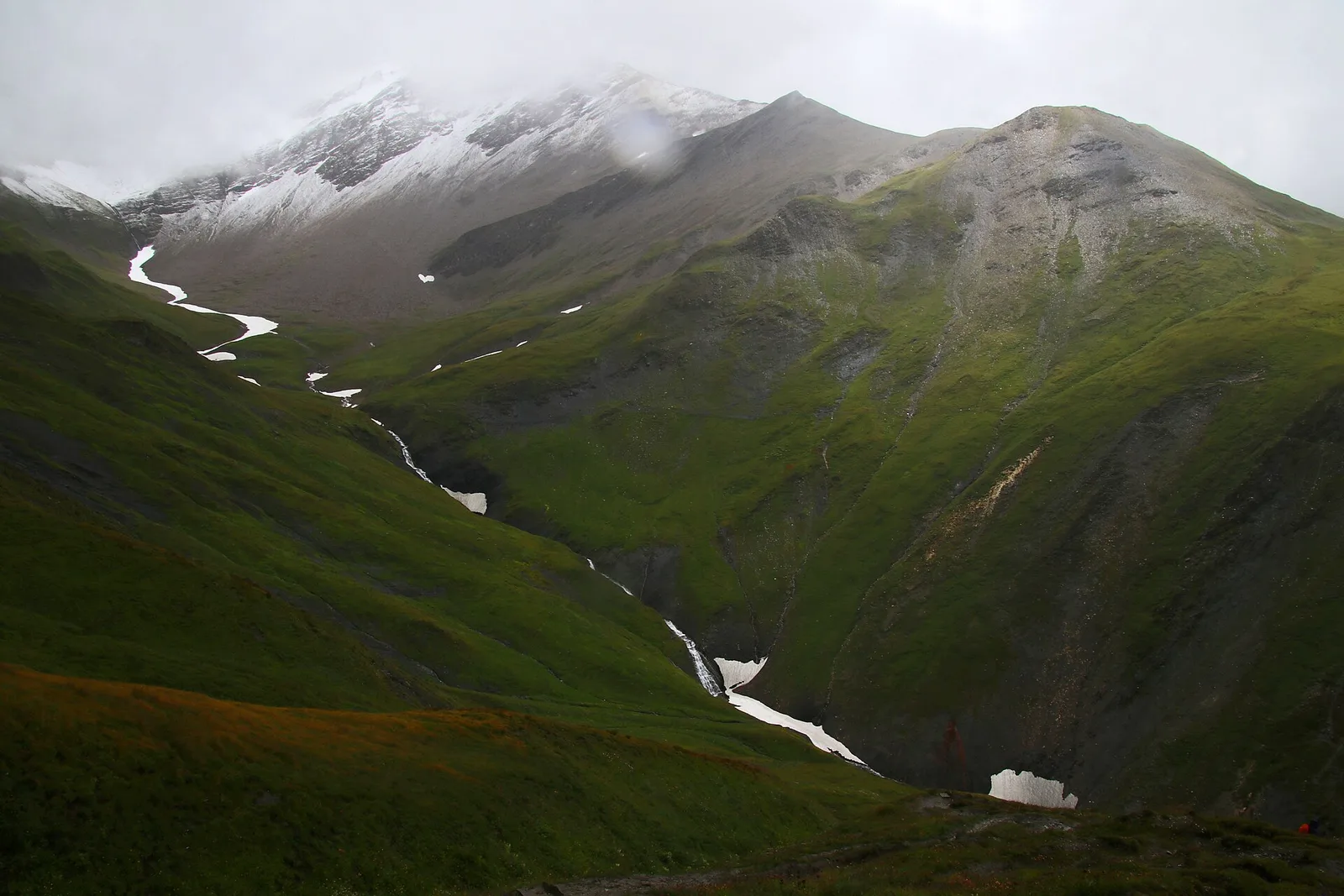
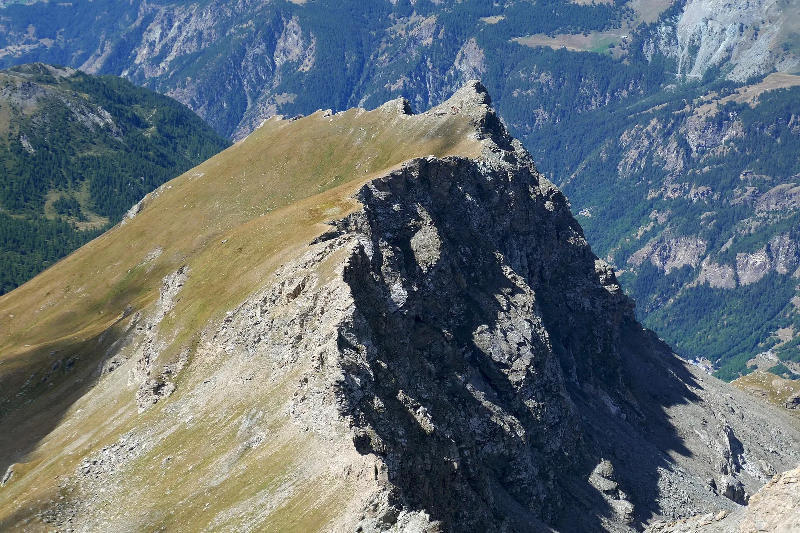
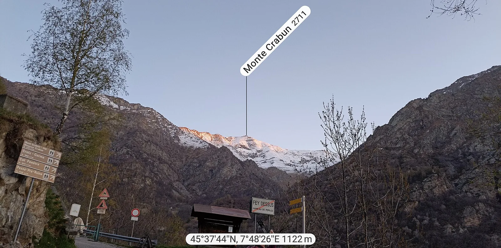
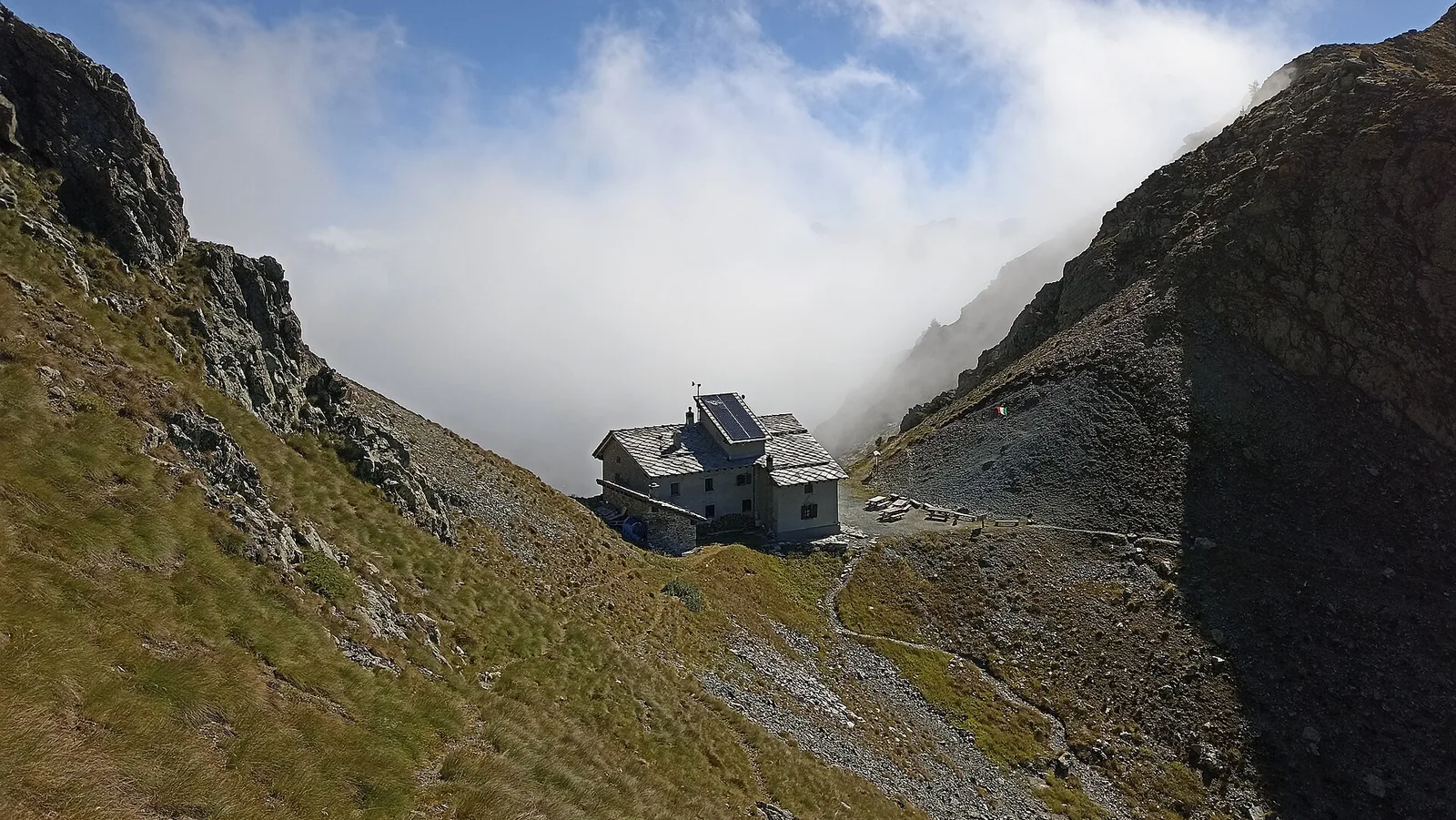
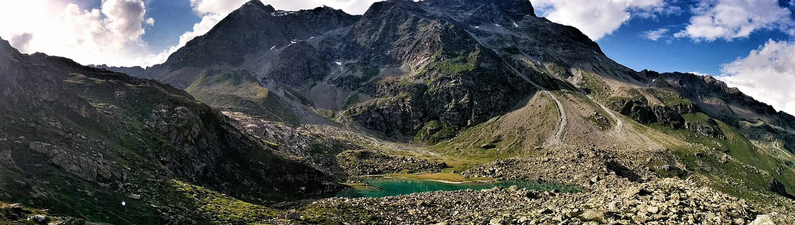
Arp Nouva - Rifugio Elena - Col du Grand Ferret
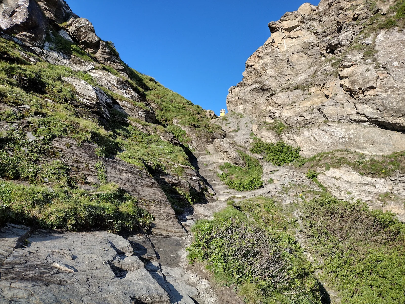
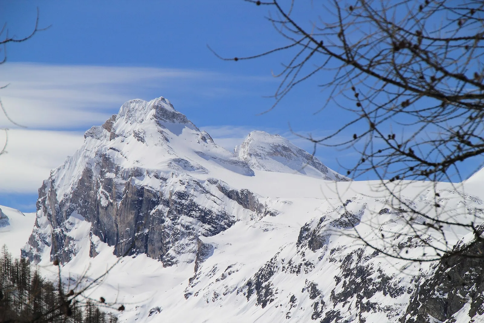
4.4 km · +768 m · E — from Arpnouva to Col du Grand Ferret (Great St Bernard Valley).
4.4 km+768 m3 h
Where to spot
60 trails where Raspberry is listed in flora/fauna: difficulty T–EE, elevation gain 0–1737 m.
60 · 0.4–16.4 km · +0–1737 m
Valle del Gran San Bernardo
4.4 km · +768 m · E — from Arpnouva to Col du Grand Ferret (Great St Bernard Valley).
Valle centrale
2.7 km · +804 m · EE — from Avouil to Rifugio Bobba (Central Valley).
Val di Rhêmes
11 km · +1555 m · E — from Balme to Col du Berrio Blanc (Rhêmes Valley).
Valpelline
1.6 km · +184 m · E — from Berzin to Masod (Valpelline).
Valle centrale
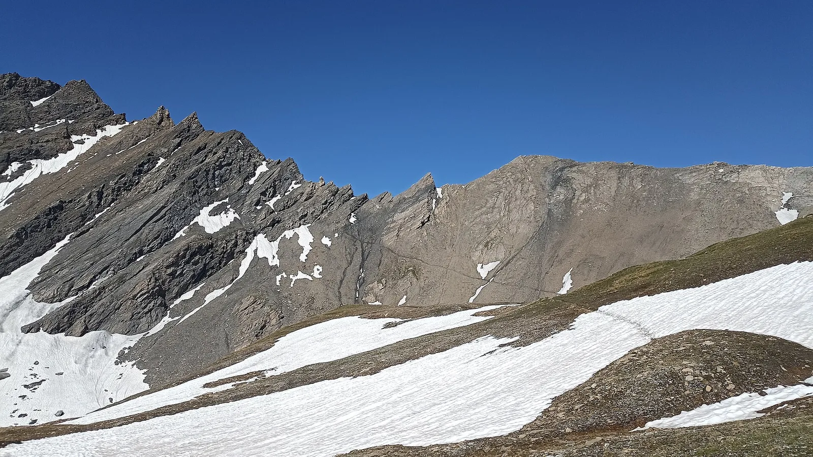
From Blanchard, the long EE route climbs the Vallone delle Cime Bianche to the Colle Inferiore at 2892 m, the pass between Val d'Ayas and Valtournenche.
Valle del Lys
5.4 km · +1405 m · E — from Champlong to Mont Creyaz (Lys Valley).
Valle centrale
1.4 km · +334 m · E — from Champlong dessus to Prorayé (Central Valley).
Val di Cogne
Steep climb from Champsolin (762 m) to Ozein (1,371 m) in the Cogne Valley: 3.2 km with 596 m of ascent.
Valle centrale
From the valley floor at Chateau Vallaise (454m) to Saint Anne's chapel (1342m): 4.3 km and 921 m of ascent through vineyards, chestnut groves and woodland on the Avise hillside.
Valsavarenche
4.7 km · +821 m · E — from Cort to Charrère (Valsavarenche).
Valle del Lys
1.5 km · +75 m · E — from Coteau to Eremo Saint-Julien (Lys Valley).
Valtournenche
3.6 km · +909 m · E — from Croce della Missione to Gias Desot (Valtournenche).
Valle del Gran San Bernardo
2.7 km · +414 m · E — from Druges to Prapremier (Great St Bernard Valley).
Valle di Champorcher
2.9 km · +832 m · EE — from Dublanc to Tete du Mont (Champorcher Valley).
Valle del Gran San Bernardo
3.5 km · +223 m · E — from Erésaz to Grand Rhun (Great St Bernard Valley).
Valle del Gran San Bernardo
4.6 km · +1164 m · E — from Capoluogo to Grande Tête (Great St Bernard Valley).
Valle centrale
4.6 km · +1164 m · E — from Etroubles to Grande Tête (Central Valley).
Val d'Ayas
In the commune of Brusson, Val d'Ayas: an E-rated route among hamlets and pastures with characteristic valley views.
Valle del Gran San Bernardo
3.5 km · +0 m · E — from Grand Rhun to Erésaz (Great St Bernard Valley).
Valle centrale
5.8 km · +1264 m · EE — from Cheneil to Grand Tournalin (Central Valley).
Val di Cogne
From La Nouva (1,300 m) through the Nomenon alp to Bivacco Gontier (2,302 m) in the Gran Paradiso National Park: 6.7 km, 1,020 m ascent.
Valle del Lys
10.7 km · +1057 m · E — from Lillaz to Laghi Miserini (Lys Valley).
Val d'Ayas
3 km · +259 m · E — from Mayn to Curien (Ayas Valley).
Valtournenche
3.9 km · +1035 m · E — from Monteil to Montat (Valtournenche).

Valle centrale
4.1 km · +794 m · E — from Nantey to Pra (Central Valley).
Valle centrale
3.7 km · +790 m · E — from Nantay to Ruine damon (Central Valley).
Valle del Lys
5.5 km · +642 m · E — from Orsia to Rifugi Gabiet (Lys Valley).
Valtournenche
5.8 km · +1334 m · EE — from Outrefer to Mognissola (Valtournenche).
Valle centrale
7.2 km · +1422 m · EE — from Paquier to Becca d'Aran (Central Valley).
Valle centrale
1 km · +176 m · T — from Periasc to Antagnod (Central Valley).
Valle centrale
9 km · +1334 m · EE — from Perrères to Col de Valcournera (Central Valley).
Valpelline
Valpelline, Bionaz: an E-rated climb toward a high-altitude objective in the glacial landscape.
Val di Rhêmes
4.5 km · +640 m · E — from Pré Saint-Didier to Elevaz (Rhêmes Valley).

Val d'Ayas
From Quinçod (1030m) to Colle Chasten (2549m) via Merendiou: 8.6 km EE with 1708 m of ascent, crossing all altitude bands of the Val d'Ayas.
Valle di Champorcher
5.1 km · +1333 m · EE — from Rong to Passo dell'Alpetto (Champorcher Valley).
Valle centrale
5.6 km · +1334 m · E — from Saint-Léonard to Punta Valletta (Central Valley).
Valle del Gran San Bernardo
5.8 km · +1311 m · E — from Saint-Oyen to Col Barasson Oriental (Great St Bernard Valley).
Valle del Gran San Bernardo
5.7 km · +1091 m · E — from Saint-Oyen to Mont Paglietta (Great St Bernard Valley).
Valle del Gran San Bernardo
0.4 km · +24 m · E — from Saint-Oyen to Pallais dessus (Great St Bernard Valley).
Valle centrale
2.9 km · +391 m · E — from Poline desot to Ronchas (Central Valley).
Valle centrale
6.6 km · +837 m · E — from Sainte-Marguerite to Punta di Cressa (Central Valley).
Valtournenche
1.1 km · +75 m · E — from Terme to Maison Neuve (Valtournenche).
Valpelline
4.5 km · +1016 m · EE — from Servaz to Cima Bianca (Valpelline).
Val d'Ayas
1.9 km · +316 m · E — from Sizan to Col d'Arlaz (Ayas Valley).
Valle del Lys
8.6 km · +1731 m · EE — from Staffal to Rifugio Mantova (Lys Valley).
Valle del Lys
5.2 km · +1065 m · E — from S. R. Valsavarenche to Mont Blanc (Lys Valley).
Valtournenche
12.9 km · +1737 m · E — from Bourg to Sassa (Valtournenche).
Valle del Lys
16.4 km · +0 m · E — from Rifugio Deffeyes to Planaval (Lys Valley).
Valsavarenche
10.4 km · +0 m · E — from Verrayes to Nus (Valsavarenche).
Valtournenche
6 km · +977 m · E — from Terme to Col de Joux (Valtournenche).
Valle del Gran San Bernardo
5.5 km · +1129 m · E — from Thumel to Col Rosset (Great St Bernard Valley).
Valle del Lys
2 km · +184 m · E — from Tiller to Valmeanaz (Lys Valley).
Val di Cogne
In the Val di Cogne, Aymavilles: an E-rated climb through forest and alpine pastures in the Gran Paradiso National Park.
Valle del Lys
4 km · +235 m · E — from Crétaz to Crétaz (Lys Valley).
Valtournenche
3.3 km · +419 m · E — from Valpelline capoluogo to Capoluogo (Valtournenche).

Val d'Ayas
3.3 km · +600 m · E — from Ponti Romani to Tron damon (Ayas Valley).
Valle centrale
2.9 km · +466 m · E — from Veyves to Parleyaz (Central Valley).
Valle del Lys
3.3 km · +479 m · E — from Ville to Combes (Lys Valley).
Val d'Ayas
1.5 km · +331 m · E — from Vollon (Brusson) to Salomon (Ayas Valley).
Val d'Ayas
6.5 km · +1391 m · E — from Zengji to Colle del Lupo (Ayas Valley).