
EE
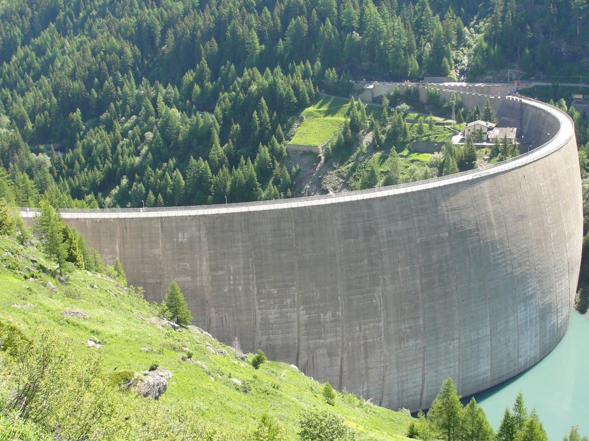
Valle centrale
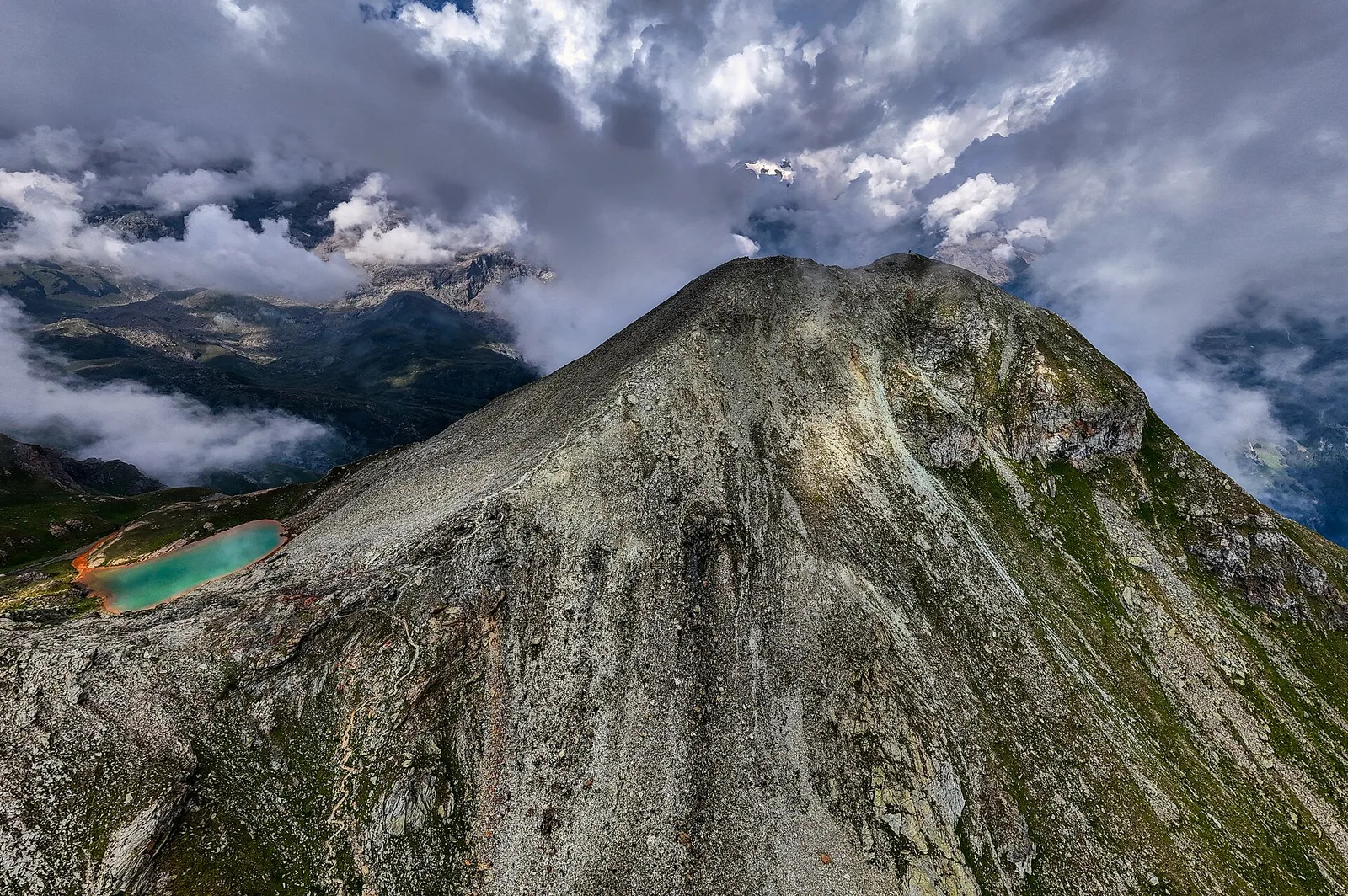
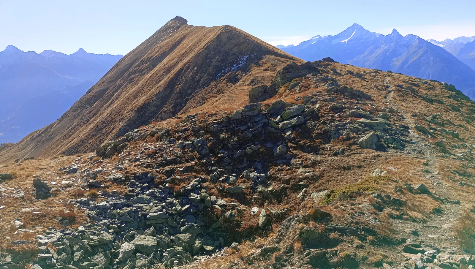
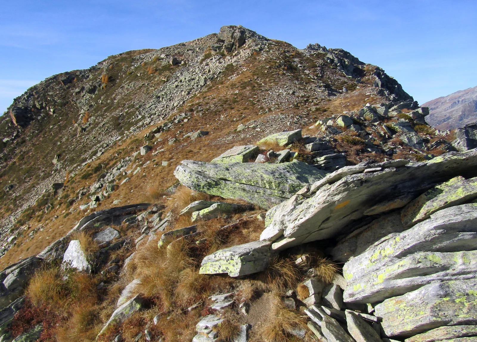
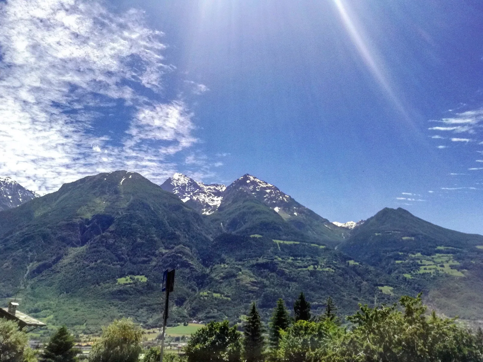
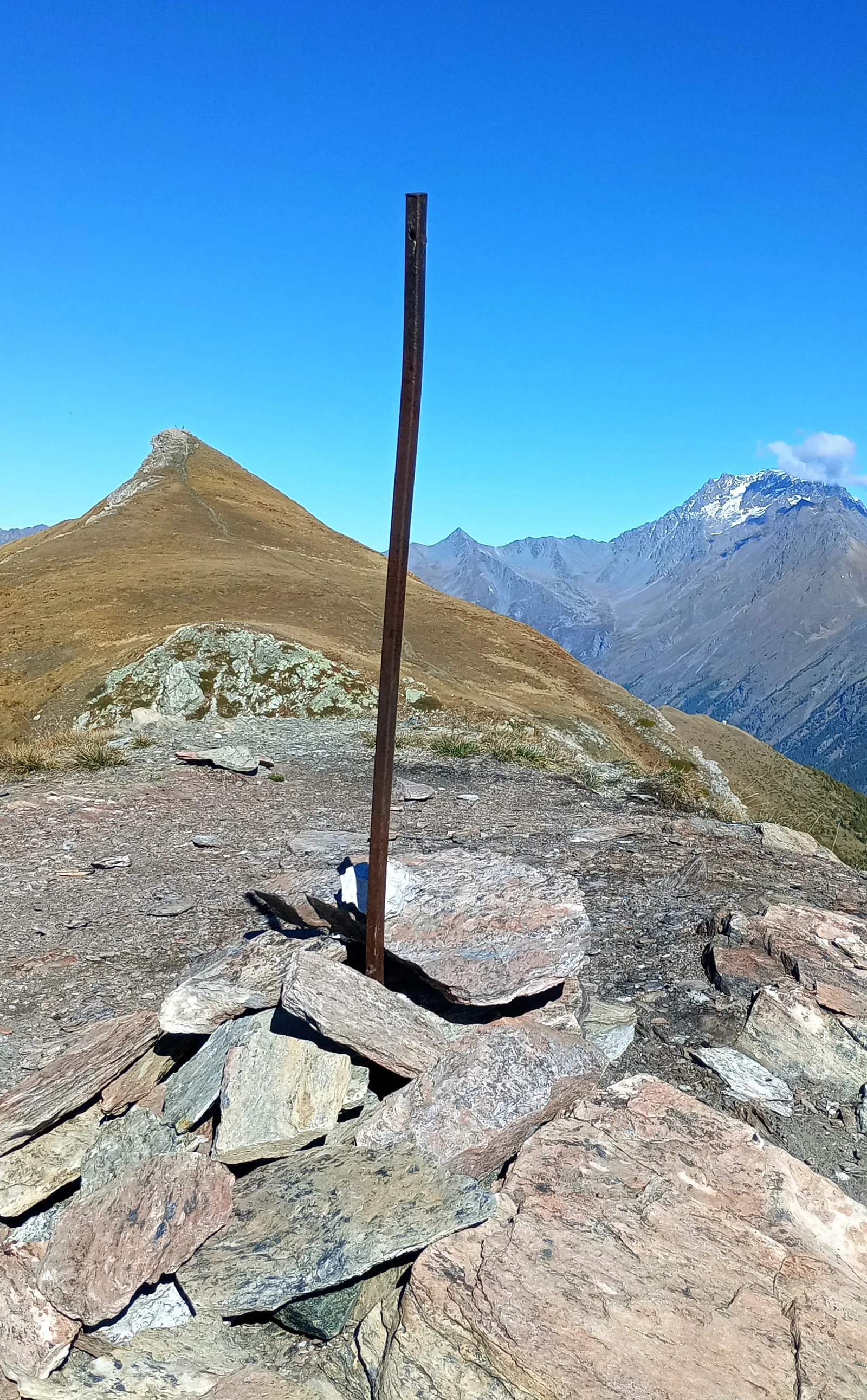
Amponey - Becca Trecare
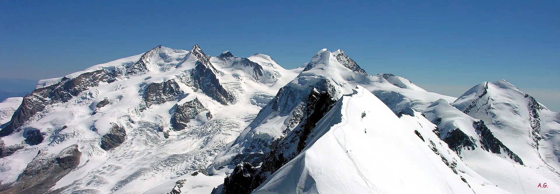
A demanding EE ascent from Amponey to Becca Trecare at 3032m — nearly 1500m of gain on varied terrain with sweeping summit views.
7.5 km+1488 m5.5 h
Where to spot
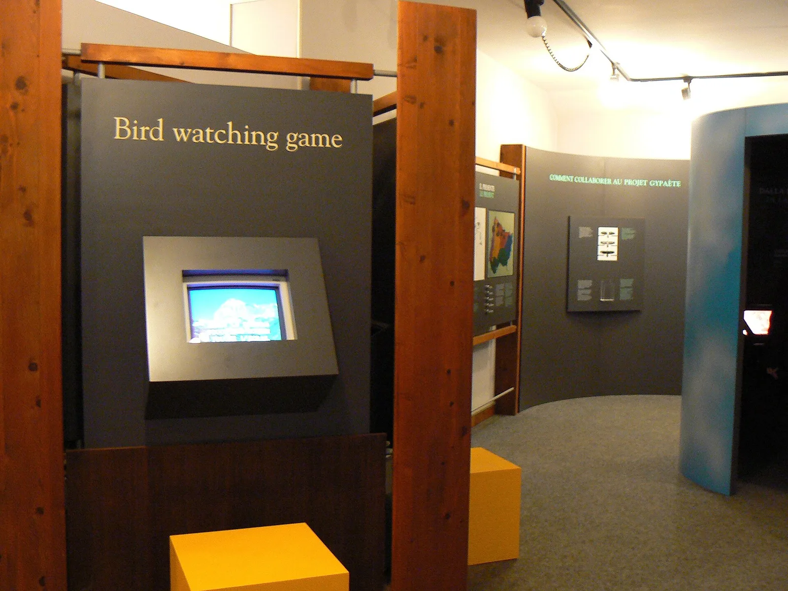
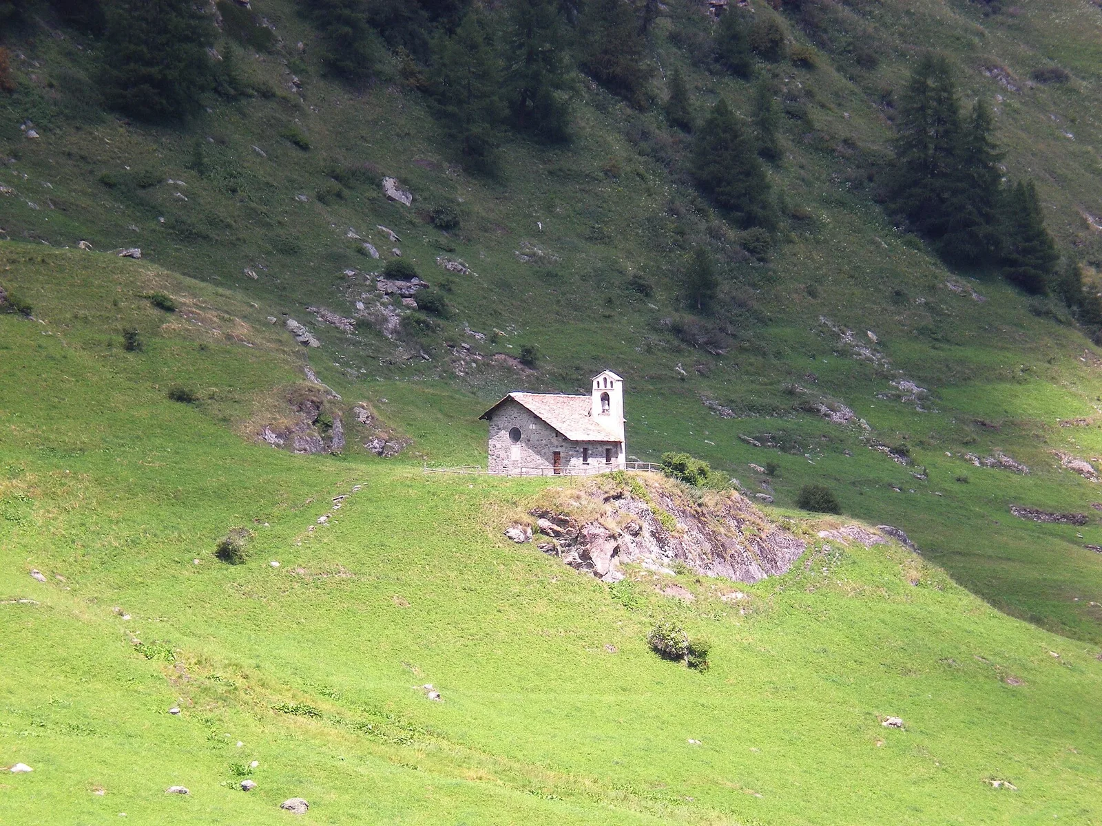
51 trails where Alpine poppy is listed in flora/fauna: difficulty E–EEA, elevation gain 163–2282 m.
51 · 1.3–13.1 km · +163–2282 m
Valle centrale
A demanding EE ascent from Amponey to Becca Trecare at 3032m — nearly 1500m of gain on varied terrain with sweeping summit views.

Valle del Lys
1.4 km · +497 m · E — from Arrivo impianto risalita Chamolé to Tête Noire (Lys Valley).
Valle centrale
Vallone delle Cime Bianche, commune of Ayas: an EE route through one of the most pristine high-altitude environments of the Val d'Ayas.
Valle centrale
8.6 km · +1322 m · EE — from Breuil-Cervinia to Col de Saint-Théodule (Central Valley).
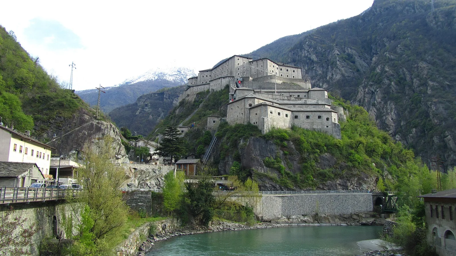
Valle del Gran San Bernardo
5.6 km · +1281 m · E — from Bruil to Col d'Entrelor (Great St Bernard Valley).
Valle centrale
1.8 km · +422 m · E — from Capiron to Miniera di Herin (Central Valley).
Valsavarenche
6.1 km · +1451 m · E — from Capoluogo to Becca d'Aver (Valsavarenche).
La Thuile
6.3 km · +1313 m · E — from Chabodey to Croix du Folliet (La Thuile).
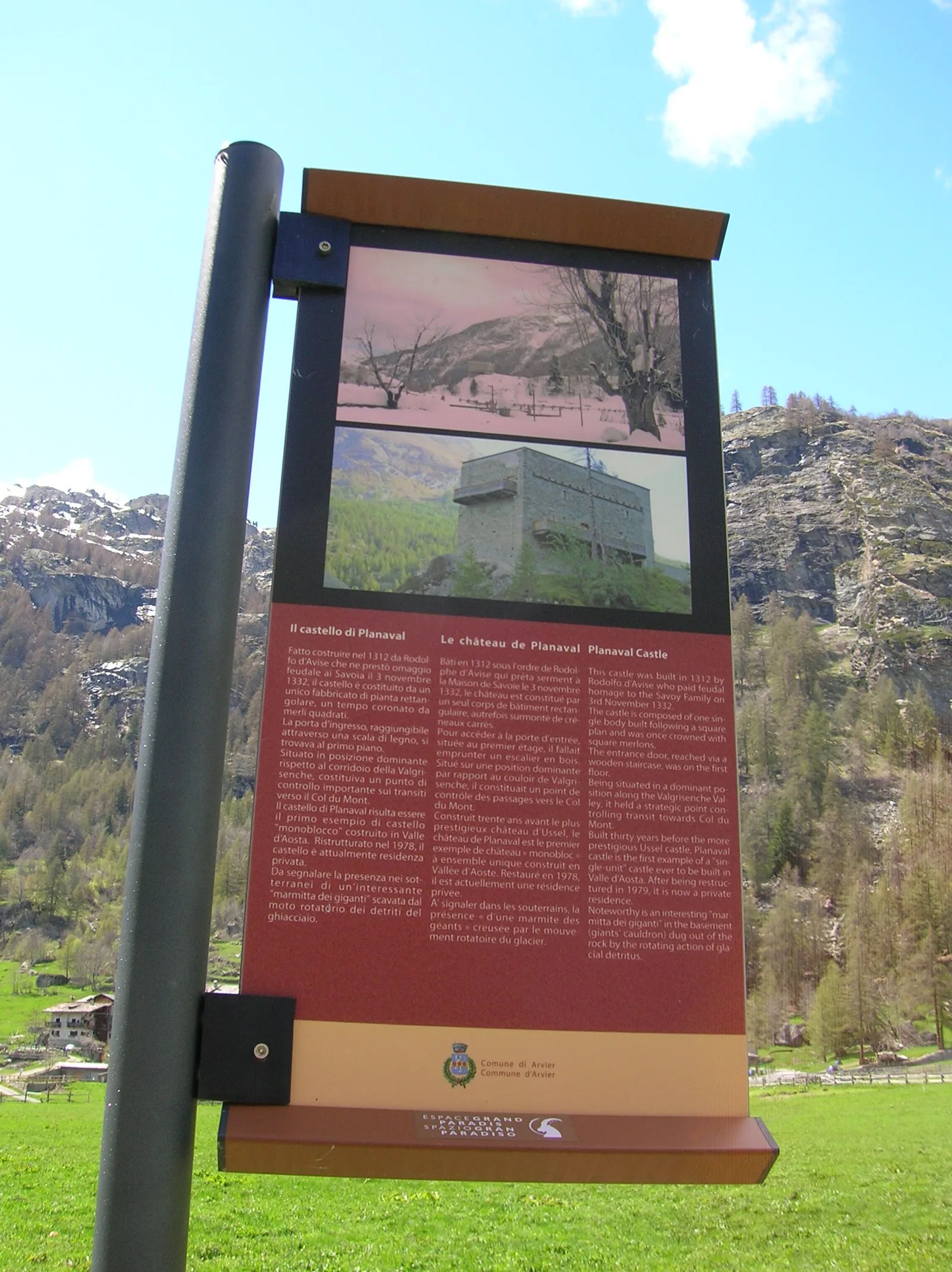
Valgrisenche
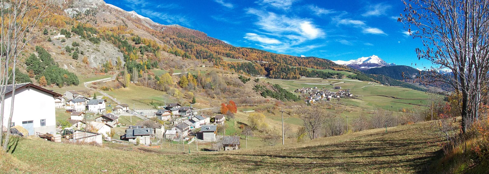
In the Valgrisenche, commune of Arvier: an E-rated climb through forest and meadows toward a high-altitude pasture.
Valle del Lys
5.1 km · +904 m · E — from Champlong to Taveronaz (Lys Valley).
Valle del Gran San Bernardo
2.2 km · +508 m · E — from Chanavey to Chaussettaz (Great St Bernard Valley).
Valtournenche
6.7 km · +665 m · E — from Chardonney to parcheggio Dondena (Valtournenche).
Valpelline
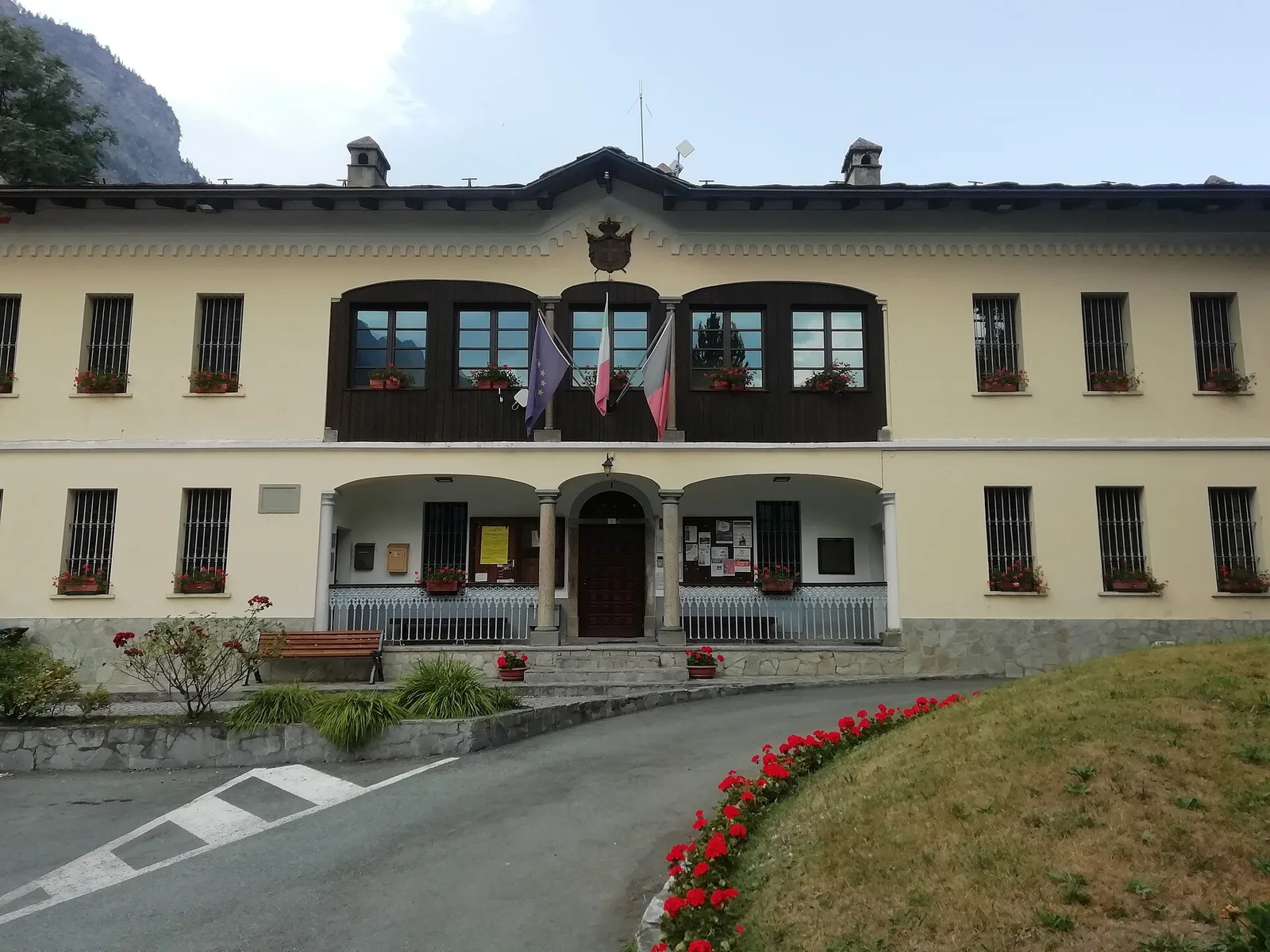
1.3 km · +176 m · E — from Chaté to Musée Petit Monde (Tiatel) (Valpelline).
Valtournenche
7.8 km · +1098 m · EE — from Dondena to Mont Glacier (Valtournenche).

Valle del Gran San Bernardo
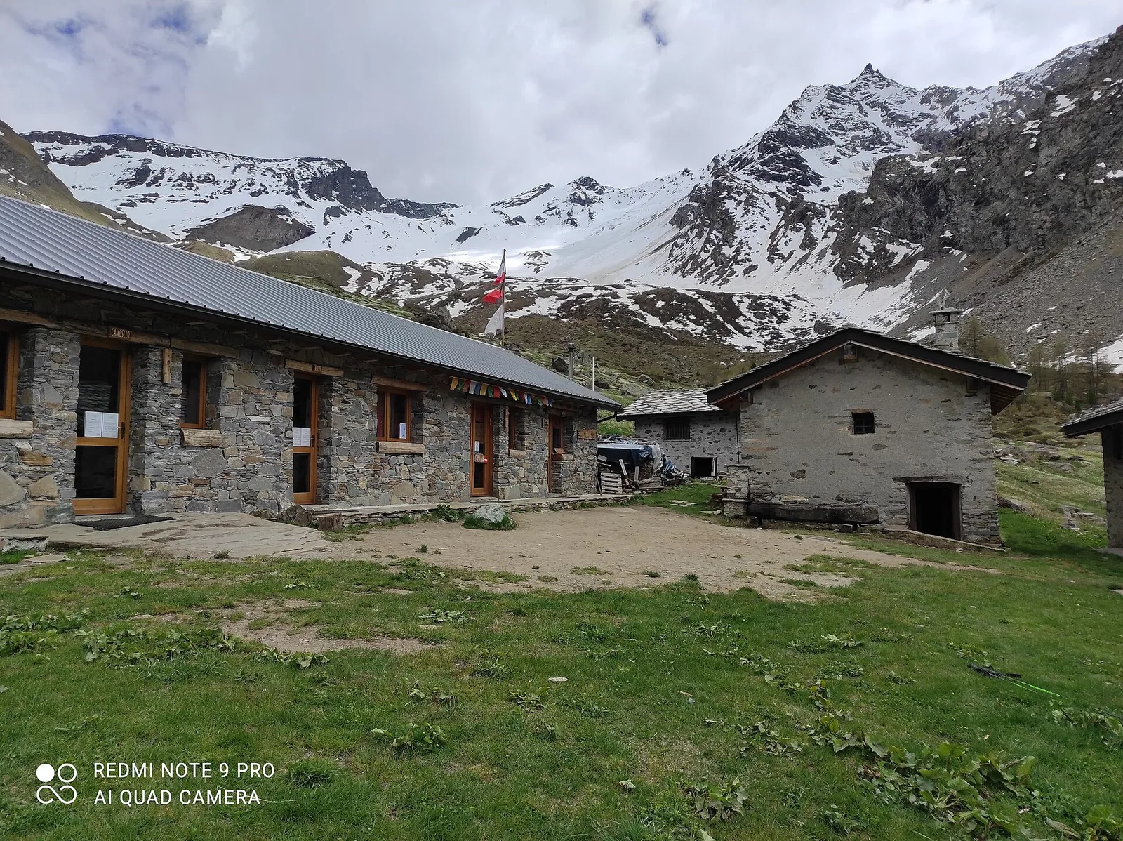
From Ville di Allein, an honest climb through pastures and larch woods to the Dortoir Baravex refuge at 1938 m, in the Great St Bernard valley.
Valle centrale
6.5 km · +1468 m · E — from Echevennoz to Pointe Chaligne (Central Valley).
Valle del Lys
8.6 km · +1458 m · EE — from Fontainemore to Col de Chardon (Lys Valley).

Valle del Lys
8.4 km · +1198 m · E — from Gimillan to Col de Saint-Marcel (Lys Valley).
Valpelline
4.8 km · +1037 m · E — from Glacier to Bivacco Regondi (Valpelline).
Valpelline
5.6 km · +850 m · E — from Glacier to Pointe Cormet (Valpelline).
Valle del Lys
4 km · +755 m · EE — from Grand Alpe to Col Lavodilec (Lys Valley).
Valle del Lys
7.2 km · +1036 m · E — from Gressoney-la-Trinité to Colle Bettaforca (Lys Valley).
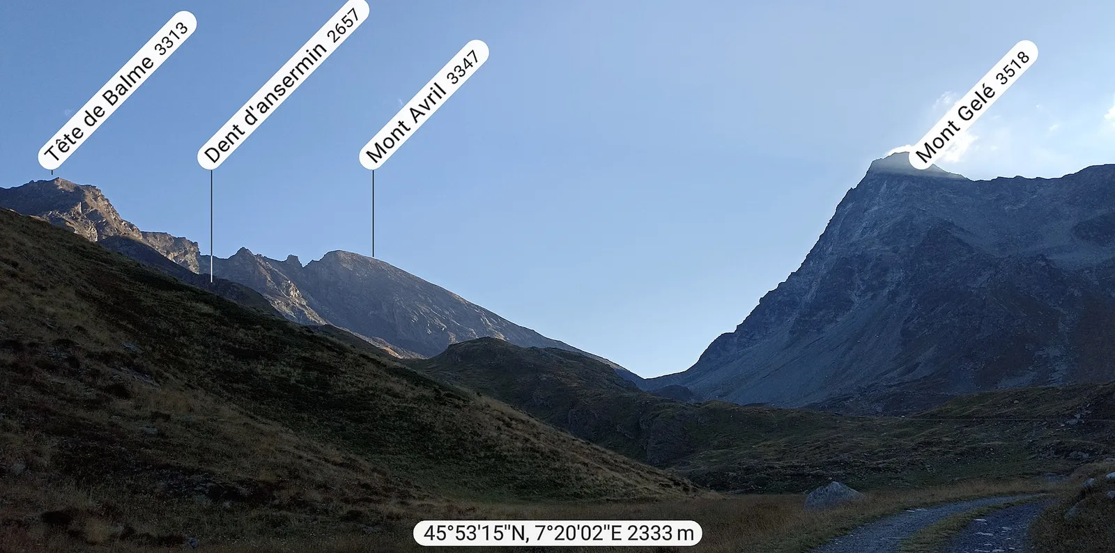
Val d'Ayas
6.7 km · +1641 m · E — from Kuniu to Colle Tschasten nord (Ayas Valley).
Valle centrale
2.9 km · +549 m · E — from Lac d'Arpy to Colle Comba Sorda (Col Cormet) (Central Valley).
Valpelline
8.1 km · +1074 m · E — from Lignan to Rifugio Oratorio Cunéy (Valpelline).
Valle centrale
8.2 km · +580 m · E — from Mendey to La Lanche (Central Valley).
Valtournenche
5.5 km · +1059 m · E — from Menthieu, partenza poderale to Rifugio degli Angeli al Morion (Valtournenche).
Valle del Lys
4.1 km · +892 m · E — from Moline to Brein (Lys Valley).
Valtournenche
7.3 km · +1243 m · E — from Mondanges to Col de Cussunaz (Valtournenche).
Valtournenche
9.5 km · +1766 m · E — from Monteil to Col Pousseuil (Valtournenche).
La Thuile
7.7 km · +1291 m · E — from Morges to Col du Bataillon-Aoste (Battaglione Aosta) (La Thuile).
Valle centrale
7.9 km · +832 m · E — from Morgex, sentiero 8, quota 950 to Petosan (Central Valley).
Valle centrale
5.2 km · +926 m · E — from N.D. to N.D. (Central Valley).
Valle del Gran San Bernardo
3.7 km · +663 m · E — from Niel to Colle della Mologna Piccola (Great St Bernard Valley).
Val d'Ayas
3 km · +493 m · E — from Orbeillaz to Col Tzecore (Ayas Valley).
Valtournenche
5.2 km · +796 m · E — from Outre l'Eve to Alpe Chenessy (Valtournenche).
Valpelline
5.7 km · +693 m · E — from Parcheggio Porliod to Innesto AV1 (Valpelline).
Valle del Lys
3.2 km · +384 m · EEA — from Piatta-de-Greuvon to Pointe Valletta (Lys Valley).
Valpelline
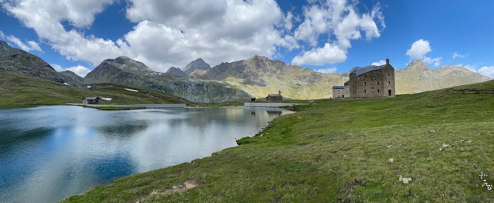
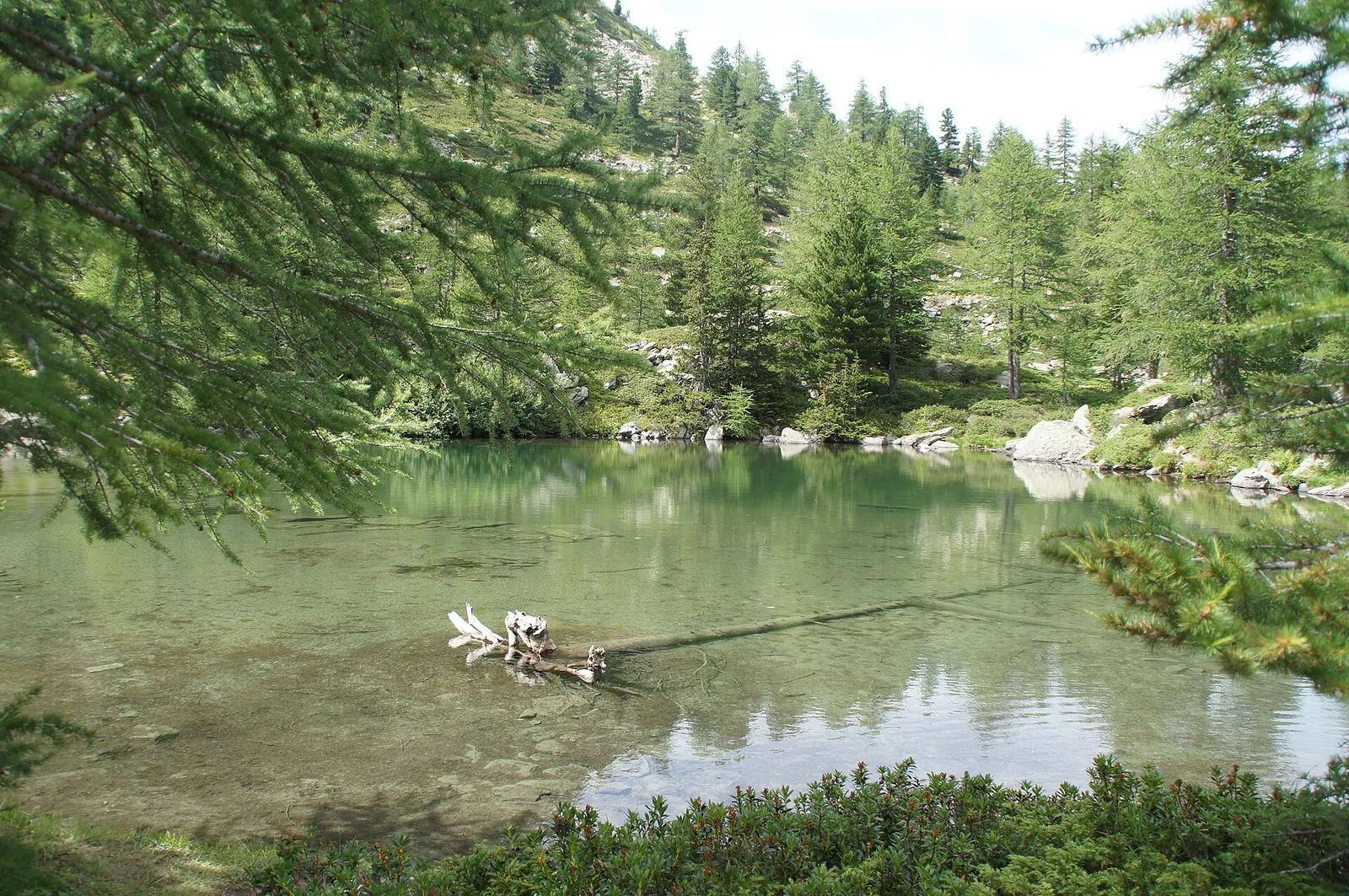
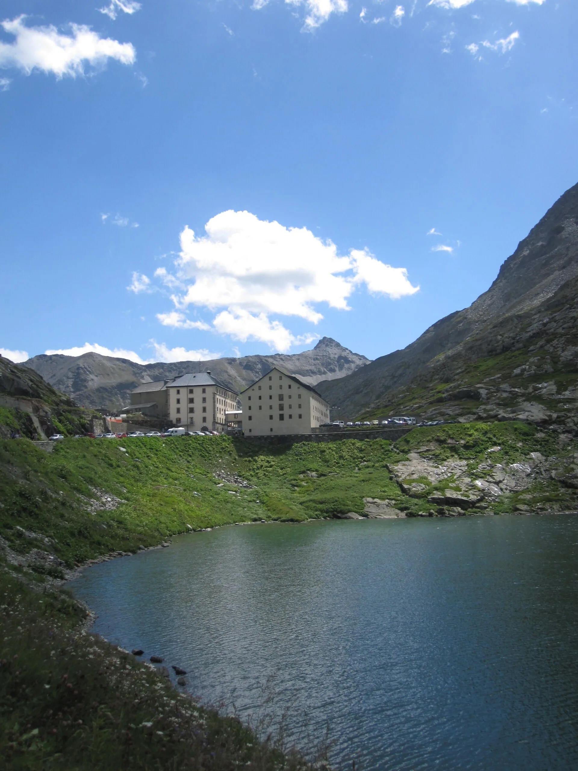
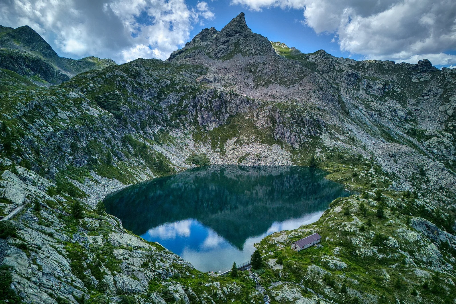
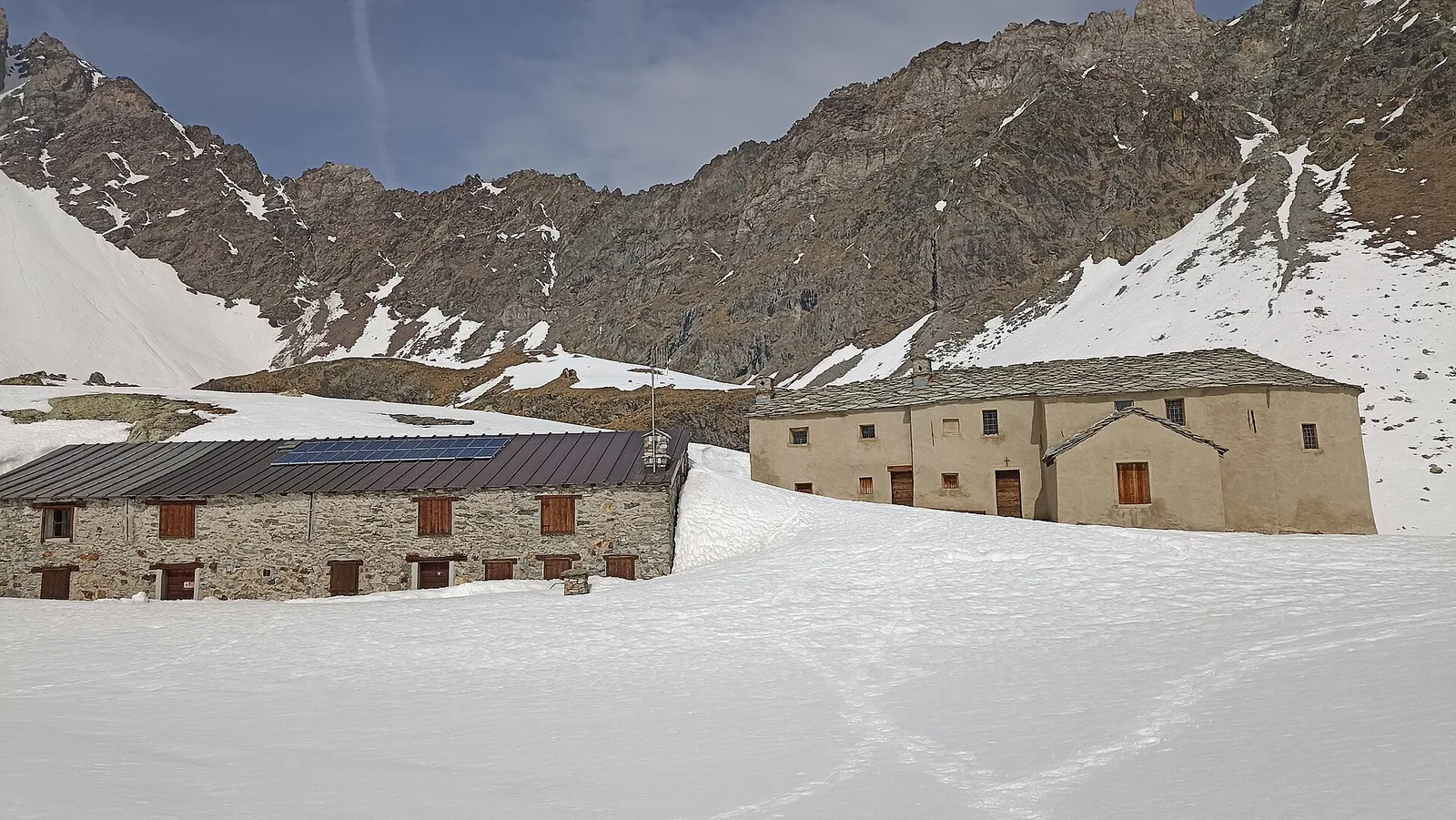
From Place Moulin dam (2011m) to Lac Mort (2865m): 4.9 km in the upper Valpelline toward a glacial lake of stark alpine character. July–September only.
Valle centrale
1.5 km · +163 m · E — from Plan de la Glaea to Gouffres de Bousserailles (Central Valley).
Valle del Lys
6.9 km · +1393 m · E — from municipio Pollein to Arpisson (Lys Valley).
Valle del Gran San Bernardo
3 km · +756 m · EE — from Rifugio Elisabetta to Bivacco Hess (Great St Bernard Valley).
Valle centrale
8.5 km · +1253 m · E — from Rosière to Col Malatr� (Central Valley).
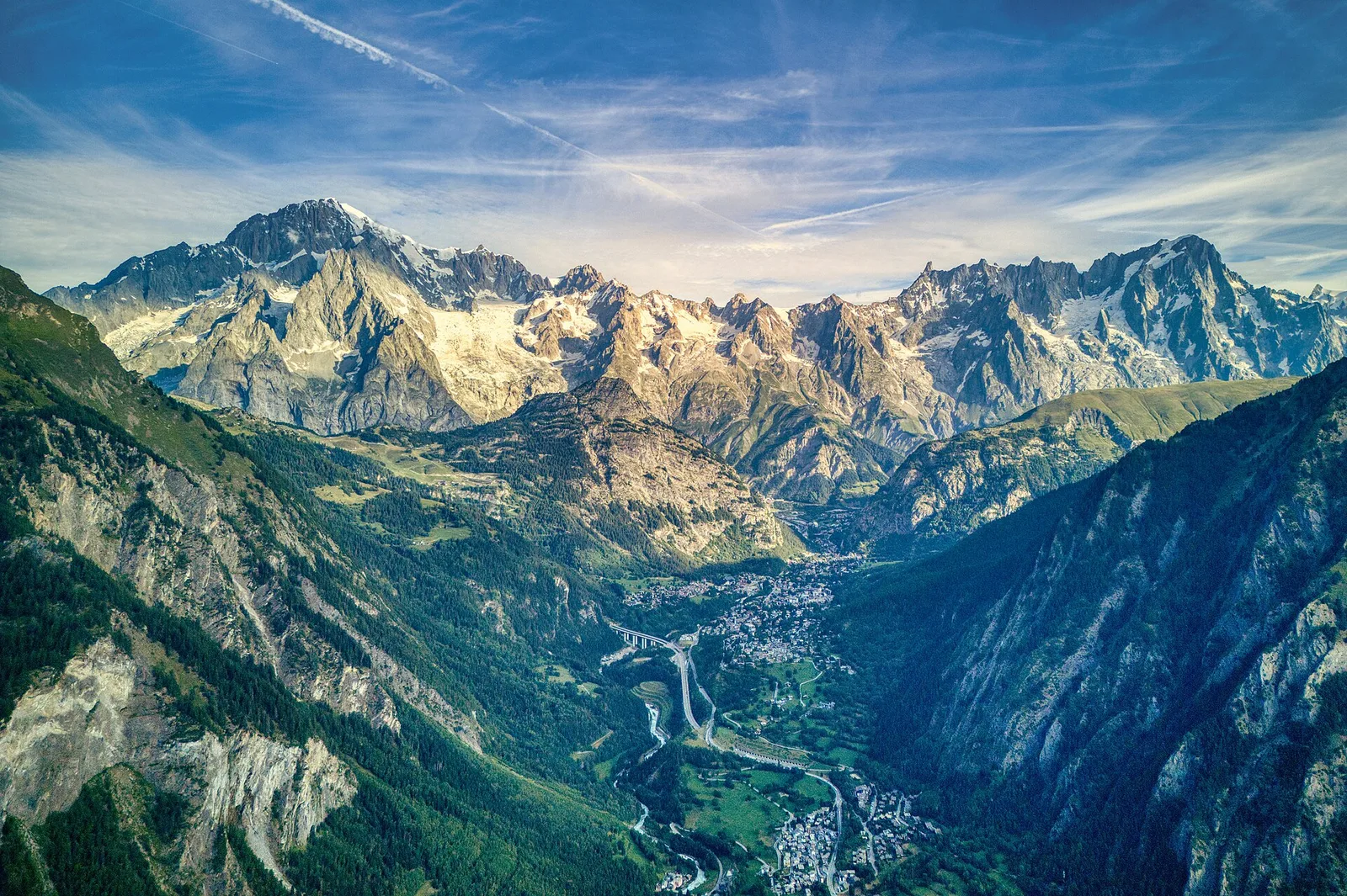
Valdigne
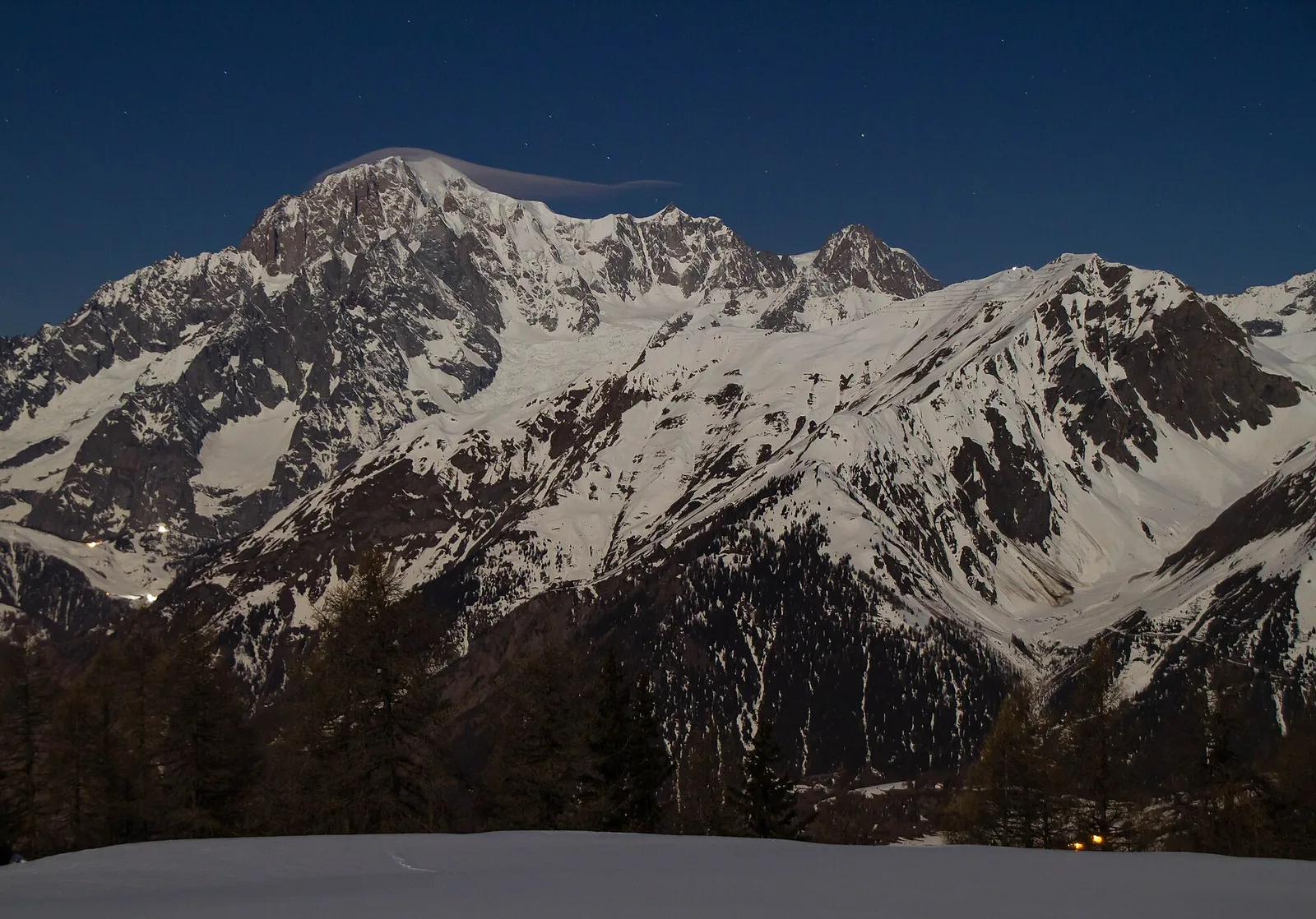
In the Valdigne, La Salle: an E/EE-rated climb toward upper slope zones with views of Mont Blanc.
Valgrisenche
13.1 km · +2282 m · E — from Strada panoramica to Mont fallère (Valgrisenche).
Val d'Ayas
In the commune of Brusson, Val d'Ayas: a mid-altitude route between hamlets and wooded areas of the slope.
Valle del Lys
10 km · +1197 m · E — from Capoluogo to Rifugio Deffeyes (Lys Valley).
Valle del Gran San Bernardo
6.8 km · +1156 m · E — from Tzendelabò to Colle della Vecchia (Great St Bernard Valley).
Valtournenche
3 km · +586 m · E — from Usellières to Rifugio Chalet de l'Epée (Valtournenche).
Valtournenche
6.9 km · +1900 m · E — from Capoluogo to Becca di Viou (Valtournenche).
Valdigne
High-level traverse from Vedun (1519m) to Jovençan (1868m) in the Valdigne: 6 km through historic pastures with Mont Blanc as backdrop.