
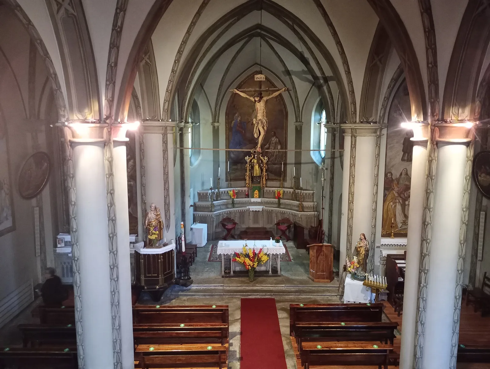
E
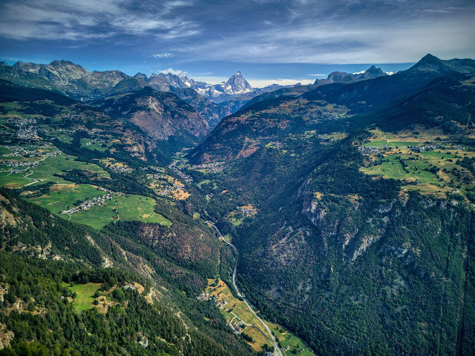
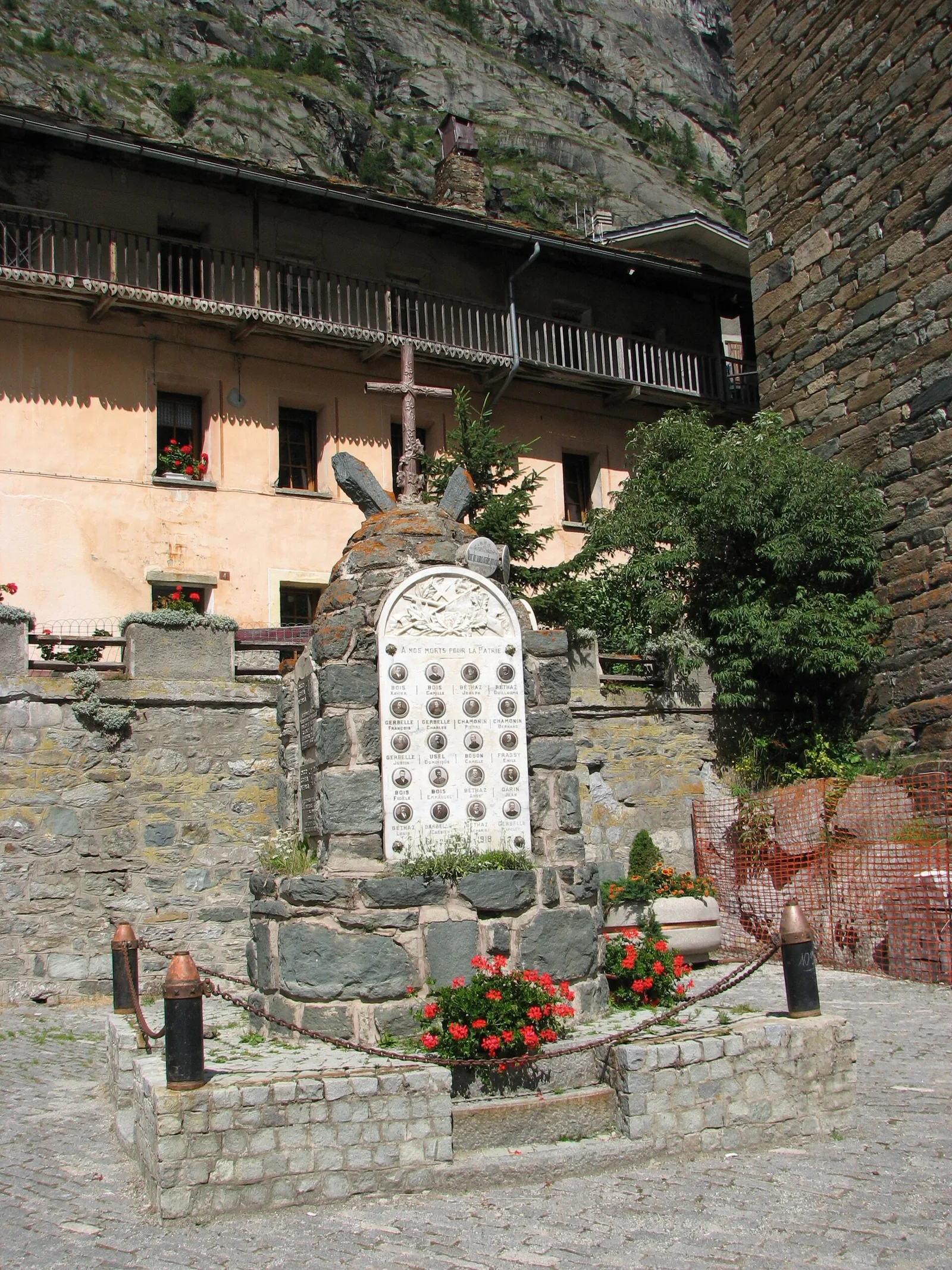
Val d'Ayas
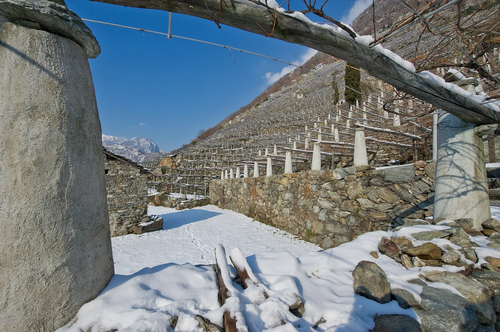
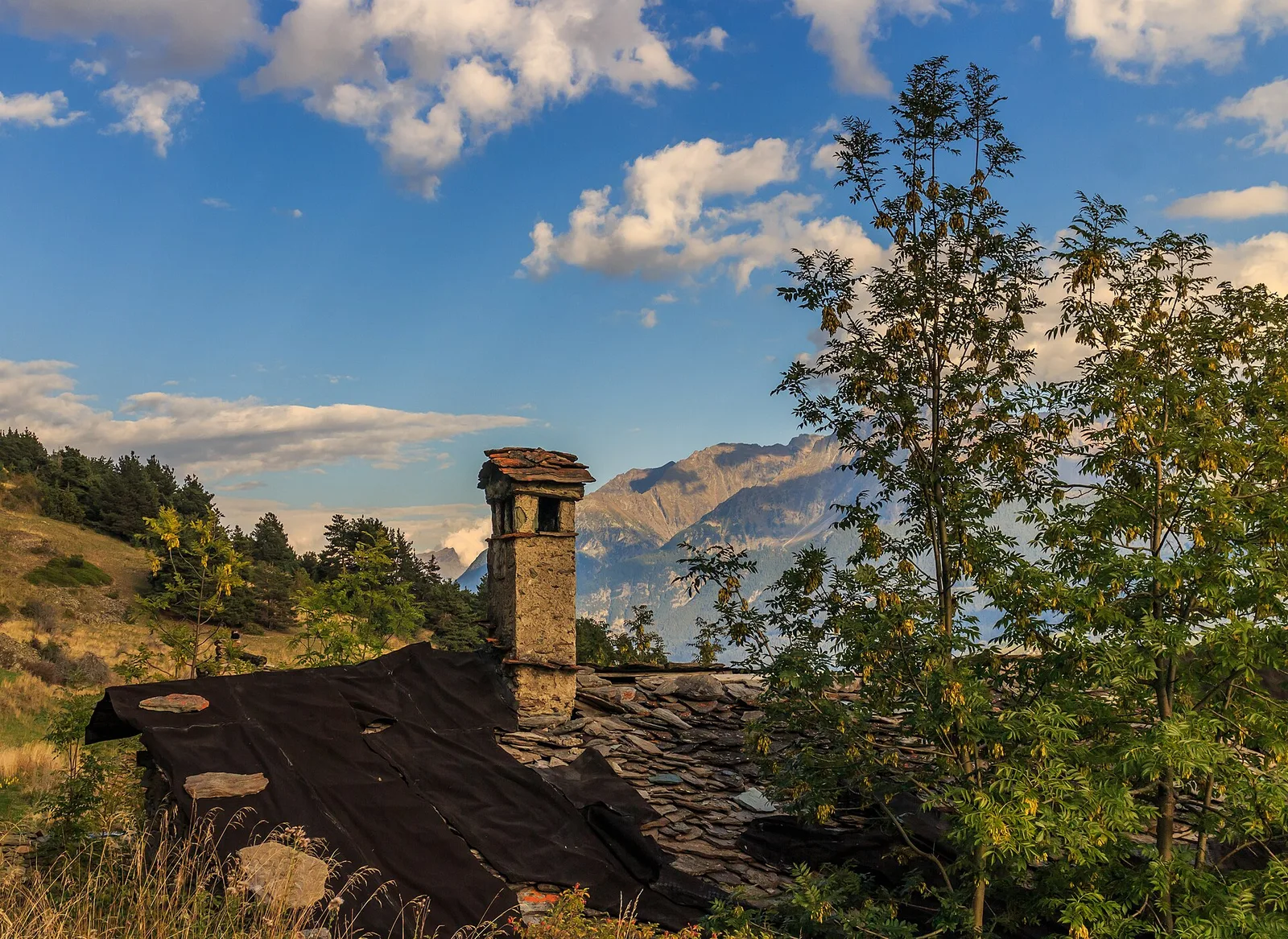
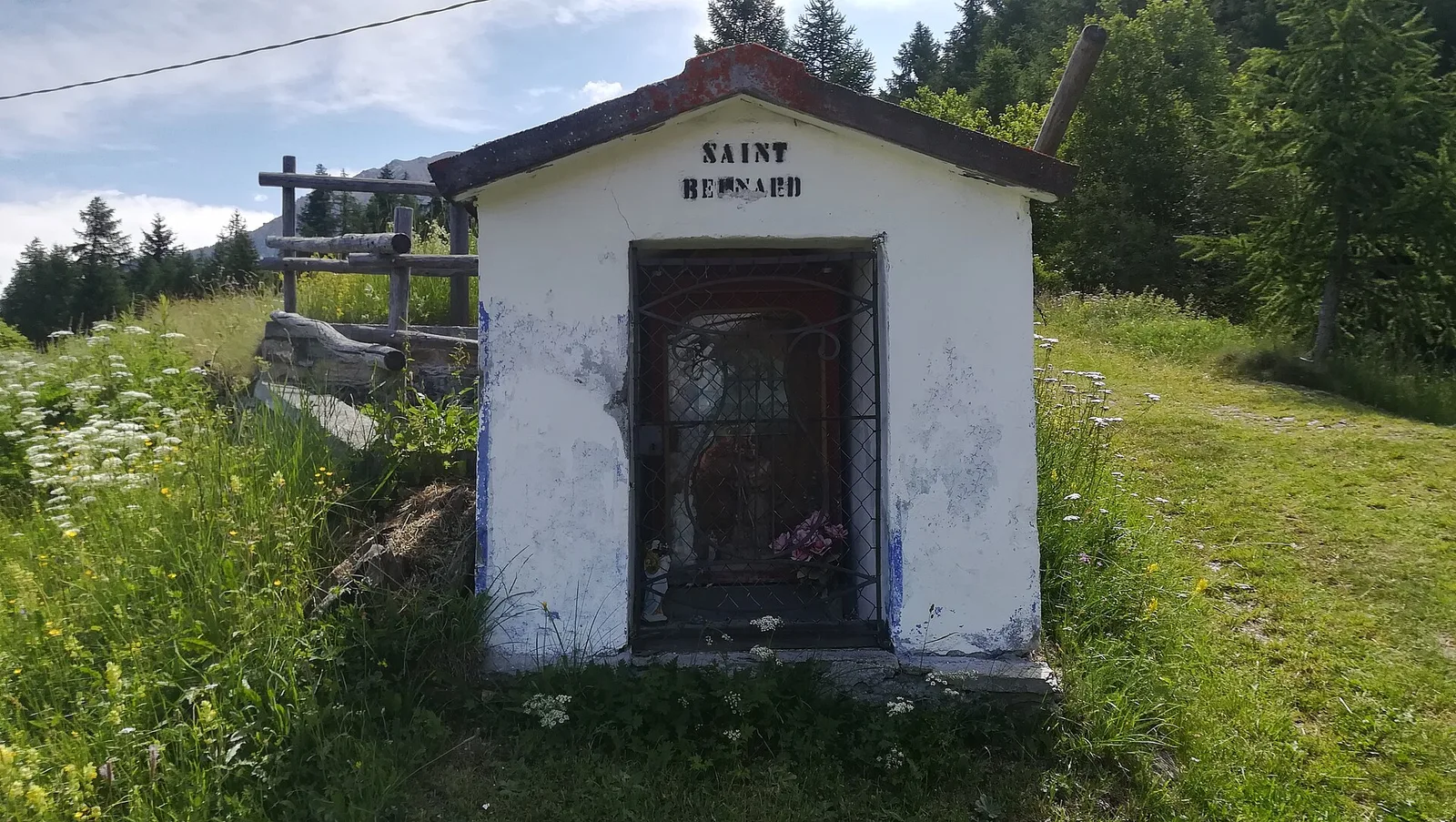
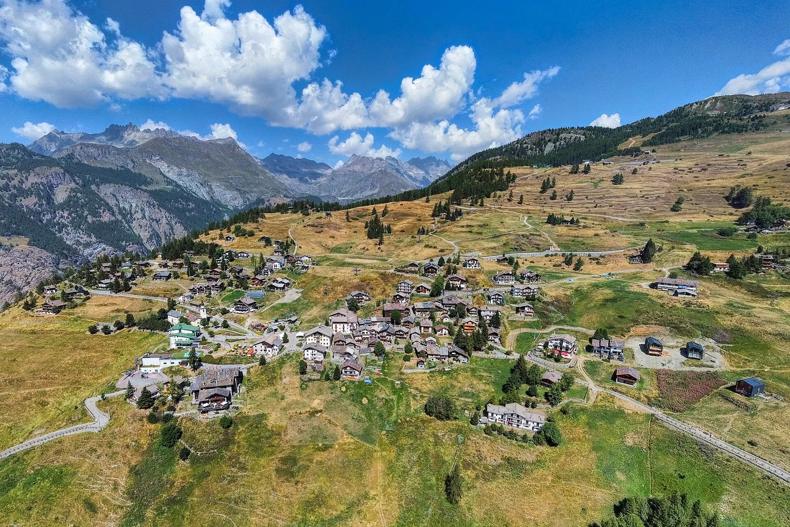
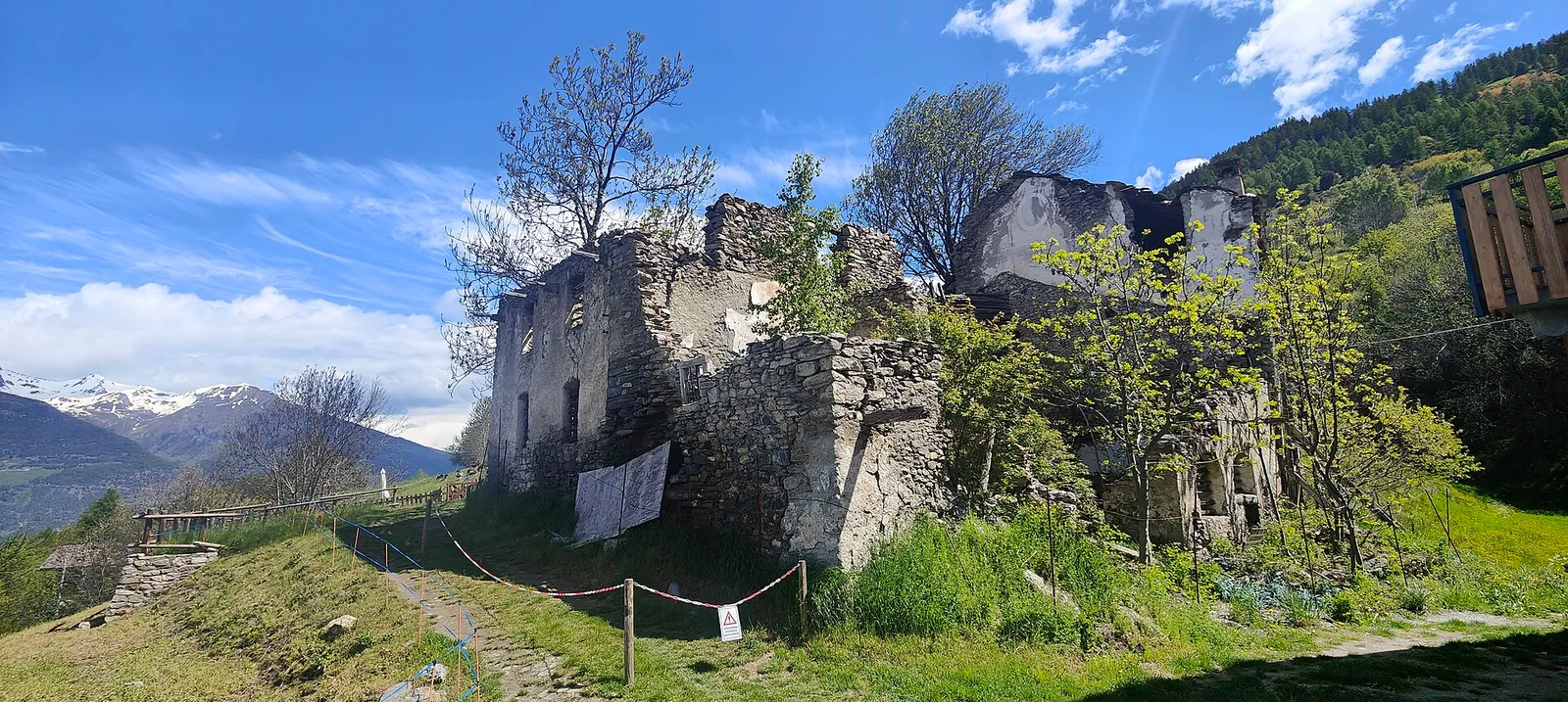
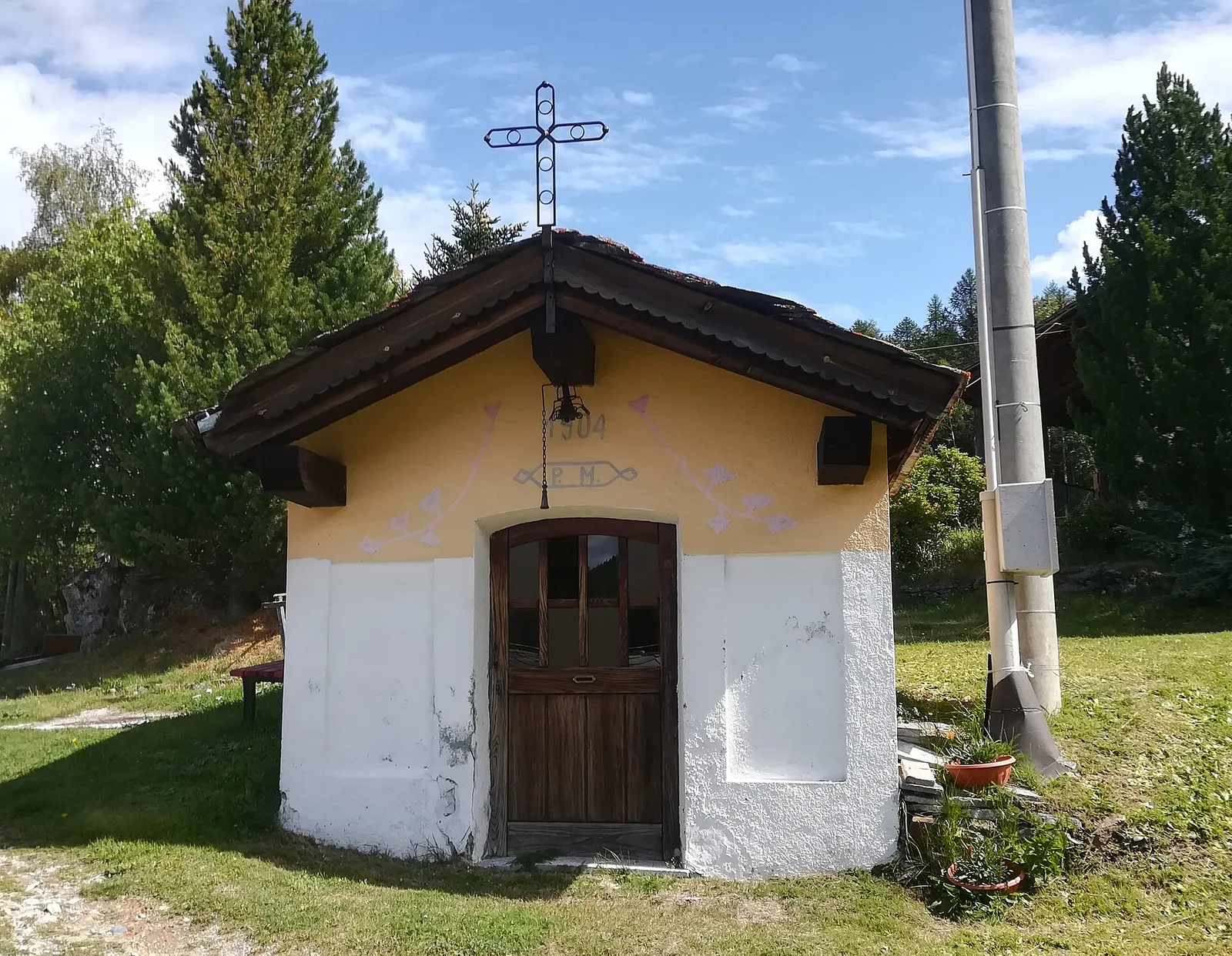
Amponey - Alpe Mascognaz
1.8 km · +309 m · E — from Amponey to Alpe Mascognaz (Central Valley).
1.8 km+309 m1 h
Where to spot
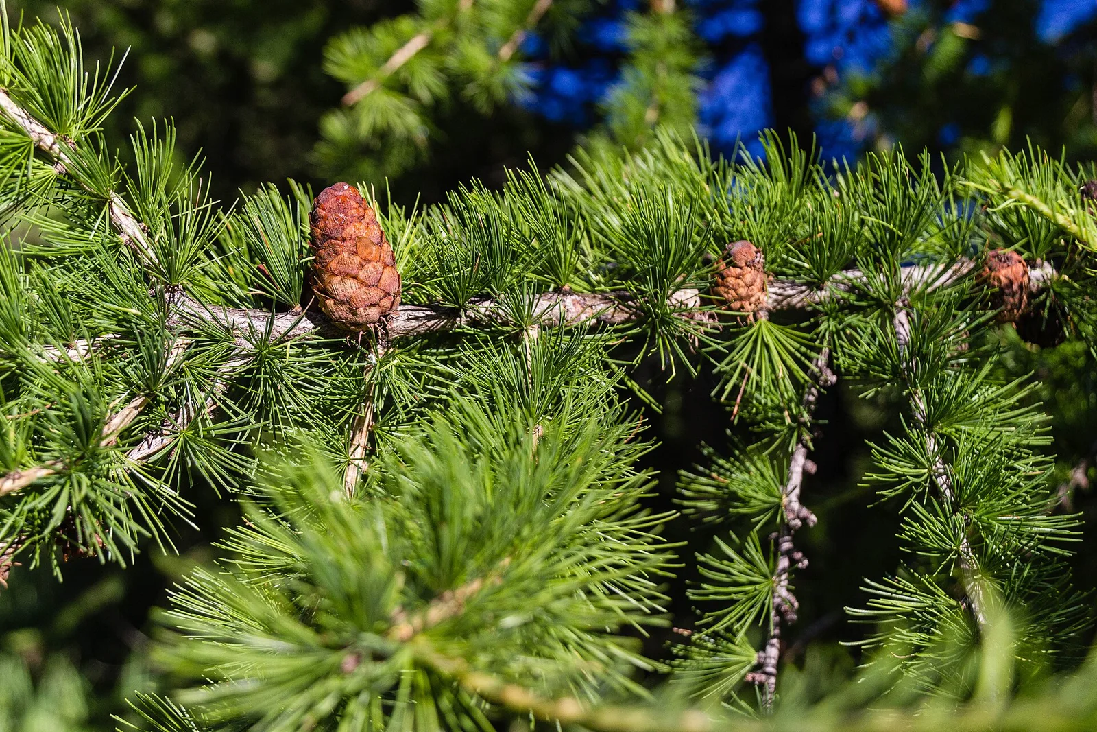
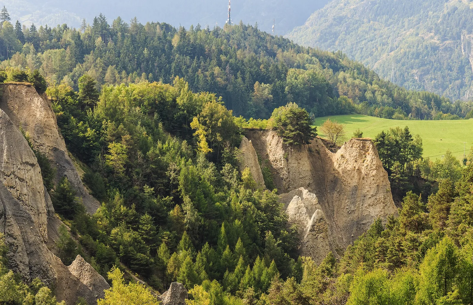
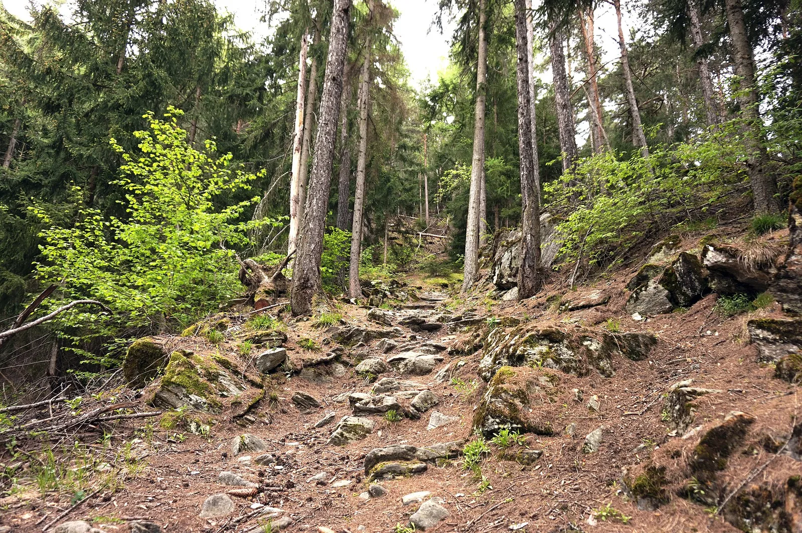
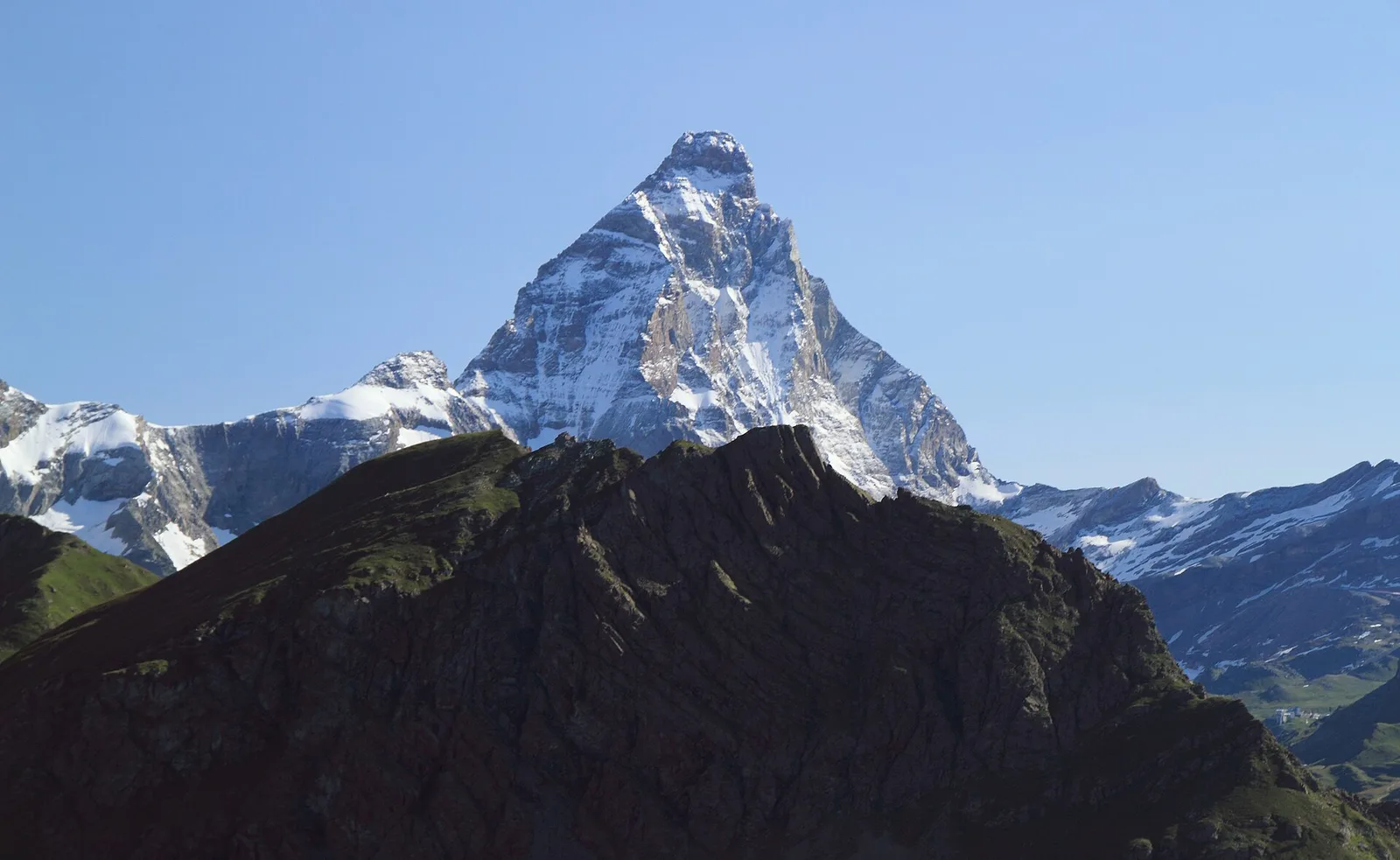
55 trails where European green woodpecker is listed in flora/fauna: difficulty T–EE, elevation gain 0–1722 m.
55 · 0.4–26.6 km · +0–1722 m
Val d'Ayas
1.8 km · +309 m · E — from Amponey to Alpe Mascognaz (Central Valley).

Valtournenche
2.9 km · +28 m · T — from Area sportiva to Area sportiva (Valtournenche).
Val d'Ayas
9.4 km · +1238 m · EE — from Isollaz to Isollaz (Ayas Valley).

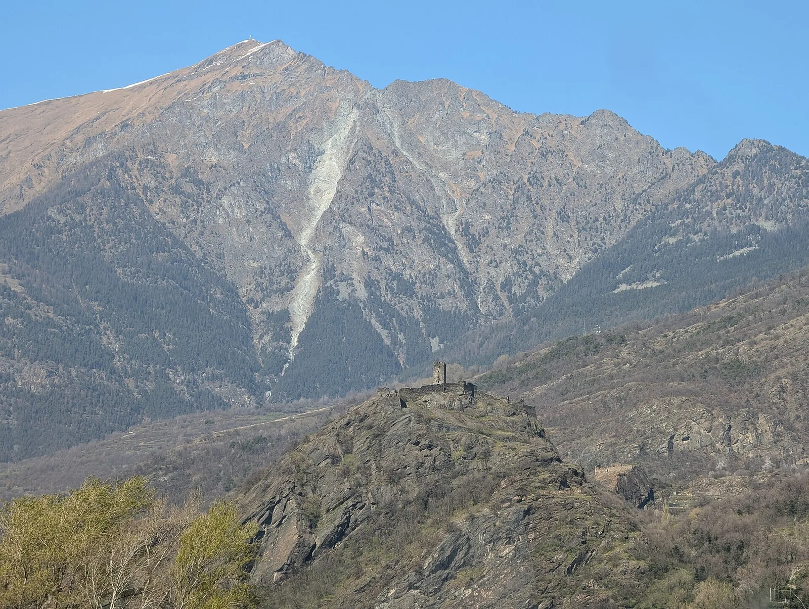
Bassa Valle
A short woodland climb from Arsines, above Arnad, to Col Fenêtre: a scenic pass of the lower Aosta Valley.

Bassa Valle
In the commune of Cogne, Gran Paradiso National Park: a climb toward a high-altitude objective in an environment of exceptional natural quality.
Valle centrale
A short, gentle climb from Baulin to Mont Colombo, a modest wooded rise with a view over the central valley, above Avise.
Val d'Ayas
6 km · +828 m · E — from Bellecombe to Thoule (Valdigne).
Valtournenche
In the commune of Antey-Saint-André, Valtournenche: an E-rated route across sunny slopes, hamlets and pastures.
Bassa Valle
6.1 km · +965 m · E — from Bourg to Verale (Valtournenche).
Val d'Ayas
1.8 km · +422 m · E — from Capiron to Miniera di Herin (Central Valley).
Val di Rhêmes
1.8 km · +74 m · T — from Chanavey to Bruil, Foyer de Fond (Great St Bernard Valley).
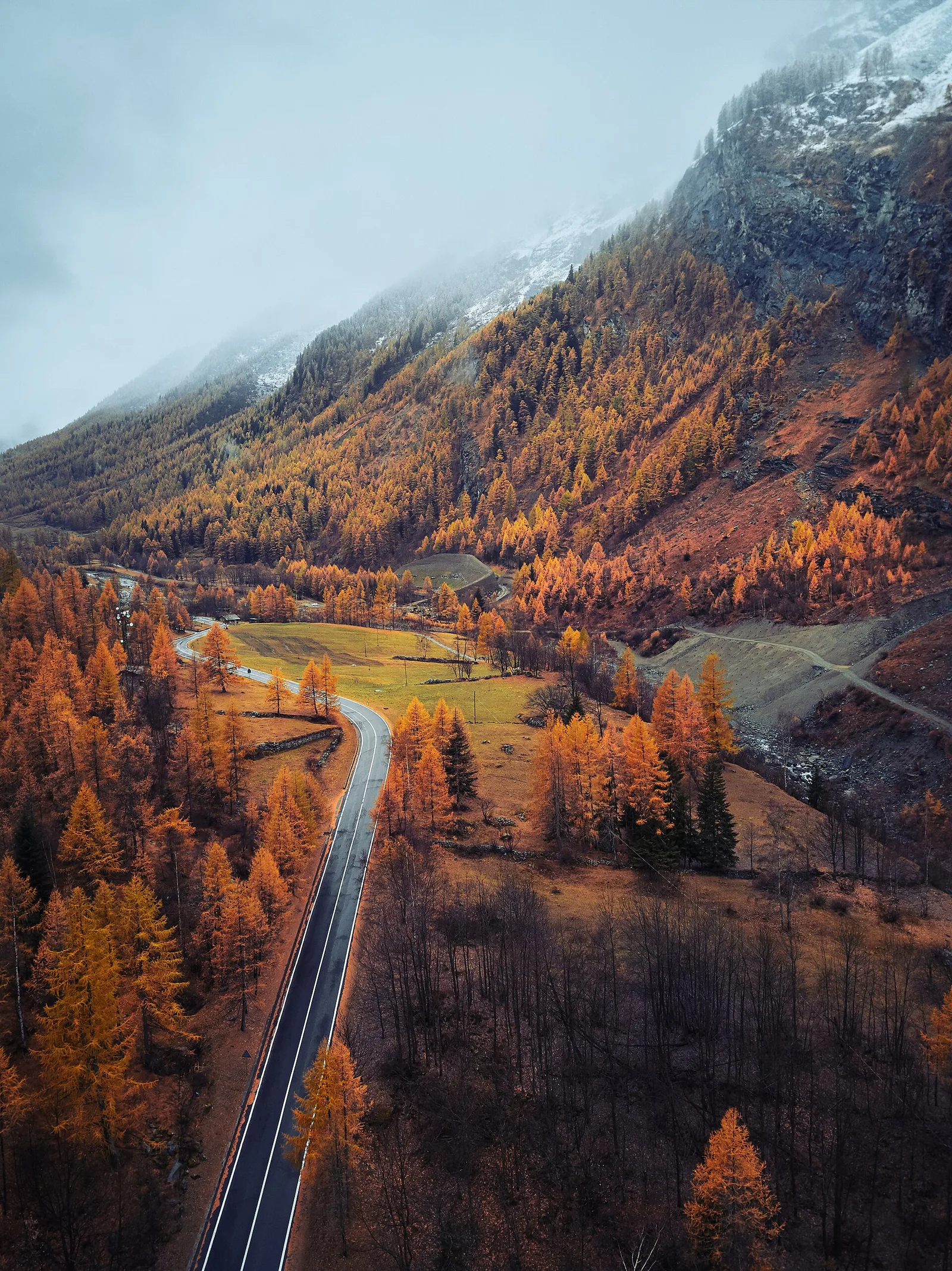
Valle centrale
In the Valdigne, La Salle: an E-rated climb toward upper slope zones with views of Mont Blanc.
Valle centrale
4.1 km · +768 m · E — from Charrère to Verrogne (Central Valley).
Valle centrale
4.7 km · +821 m · E — from Cort to Charrère (Valsavarenche).
Valle centrale
1.8 km · +219 m · E — from Cossèi to Belvedere Tsan (Lys Valley).
Valle centrale
1.5 km · +75 m · E — from Coteau to Eremo Saint-Julien (Lys Valley).
Valle centrale
2.5 km · +239 m · E — from Druges to Miniera di Servette (Great St Bernard Valley).
Val di Cogne
3.1 km · +291 m · E — from Epinel to Gimillan (Lys Valley).
Val d'Ayas
0.4 km · +0 m · E — from Erésaz to Grand Hoel (Great St Bernard Valley).

Valle centrale
1.4 km · +164 m · E — from Feilley to Moron (Valtournenche).
Valsavarenche
5.1 km · +233 m · T — from Fenille to Degioz (Ayas Valley).
Valle centrale
1.5 km · +313 m · E — from Fossaz to Fournaise (Central Valley).
Valle centrale
3.5 km · +432 m · E — from Fossaz to Gerbore (Central Valley).
Valle del Lys
2.7 km · +496 m · E — from Gaby to Bounitzon (Great St Bernard Valley).
Valle del Lys
4.3 km · +92 m · E — from Capoluogo to Gaby (Ayas Valley).
Valtournenche
3.7 km · +112 m · T — from Strada dopo Veuillen to Corgnolaz (Valdigne).
Valle centrale
5.8 km · +1201 m · E — from Pont Suaz to Ermitage de Saint-Grat (Cogne Valley).
Bassa Valle
1.3 km · +95 m · T — from Piazza del Municipio to Le tre Goye (Valsavarenche).
Valle centrale
In the Valgrisenche, Arvier: a steady E-rated climb through forest and meadows toward upper pastures.
Valle centrale
2.9 km · +0 m · E — from Lignan to Arlod (Valpelline).
Valle del Lys
2.3 km · +592 m · E — from Lillianes to Sainte-Marguerite (Central Valley).
Valle del Lys
3.7 km · +790 m · E — from Nantay to Ruine damon (Central Valley).
Valle di Champorcher
3.5 km · +593 m · E — from Outre l'Eve to Saint-Antoine (Valtournenche).
Valle centrale
1.4 km · +137 m · E — from Ozein to Strada per Torlin (Cogne Valley).
Valle centrale
1.7 km · +169 m · E — from Palleusieux to Verrand (Rhêmes Valley).
Valle del Lys
3.9 km · +226 m · T — from Piazzale Colletesand to Staffal (Lys Valley).
Val d'Ayas
2.3 km · +307 m · E — from Capoluogo to Salomon (Ayas Valley).
Valtournenche
4.8 km · +0 m · E — from Plan to Berzin (Central Valley).
Val Veny
1.2 km · +156 m · E — from Plan de Lognan to Jardin du Miage (Lac Vert) (Great St Bernard Valley).
Valle centrale
1.8 km · +429 m · E — from municipio Pollein to Chenoz (Lys Valley).
Bassa Valle
9 km · +1546 m · E — from Pramotton to Alpe Bonze (Valtournenche).
Valgrisenche
4.2 km · +198 m · E — from Confine comunale Arvier, Revers to Valgrisenche (Valtournenche).
Valle del Gran San Bernardo
4.2 km · +823 m · E — from Capoluogo to Alpe Riond (Valtournenche).
Valpelline
4.9 km · +0 m · E — from Vaud to Châtelair (Valpelline).
Val d'Ayas
1.4 km · +0 m · E — from Paysan to Casa fine poderale 29 (Ayas Valley).
Valle del Gran San Bernardo
2.7 km · +185 m · E — from Saint-Oyen to Saint-Léonard (Great St Bernard Valley).
Bassa Valle
3.8 km · +1070 m · E — from Saint-Roch to La Borney (Central Valley).
Valtournenche
26.6 km · +940 m · E — from Perrères to Perrères (Central Valley).
Valle centrale
1.1 km · +75 m · E — from Terme to Maison Neuve (Valtournenche).
Valle centrale
2.1 km · +740 m · EE — from Servettaz to Druges (Lys Valley).
Valtournenche
17.4 km · +680 m · T — from Plan Porion to Plan Porion (Valpelline).
Valle di Champorcher
5.2 km · +1722 m · E — from Varesa to Chavanna (Champorcher Valley).
Bassa Valle
1.4 km · +312 m · T — from Piazza R.Challand to Croix de Saint-Gilles (Valtournenche).
Valle centrale
9 km · +1685 m · E — from Villair to Col de Licony (Central Valley).

Val d'Ayas
0.5 km · +86 m · E — from — to — (Ayas Valley).