
T
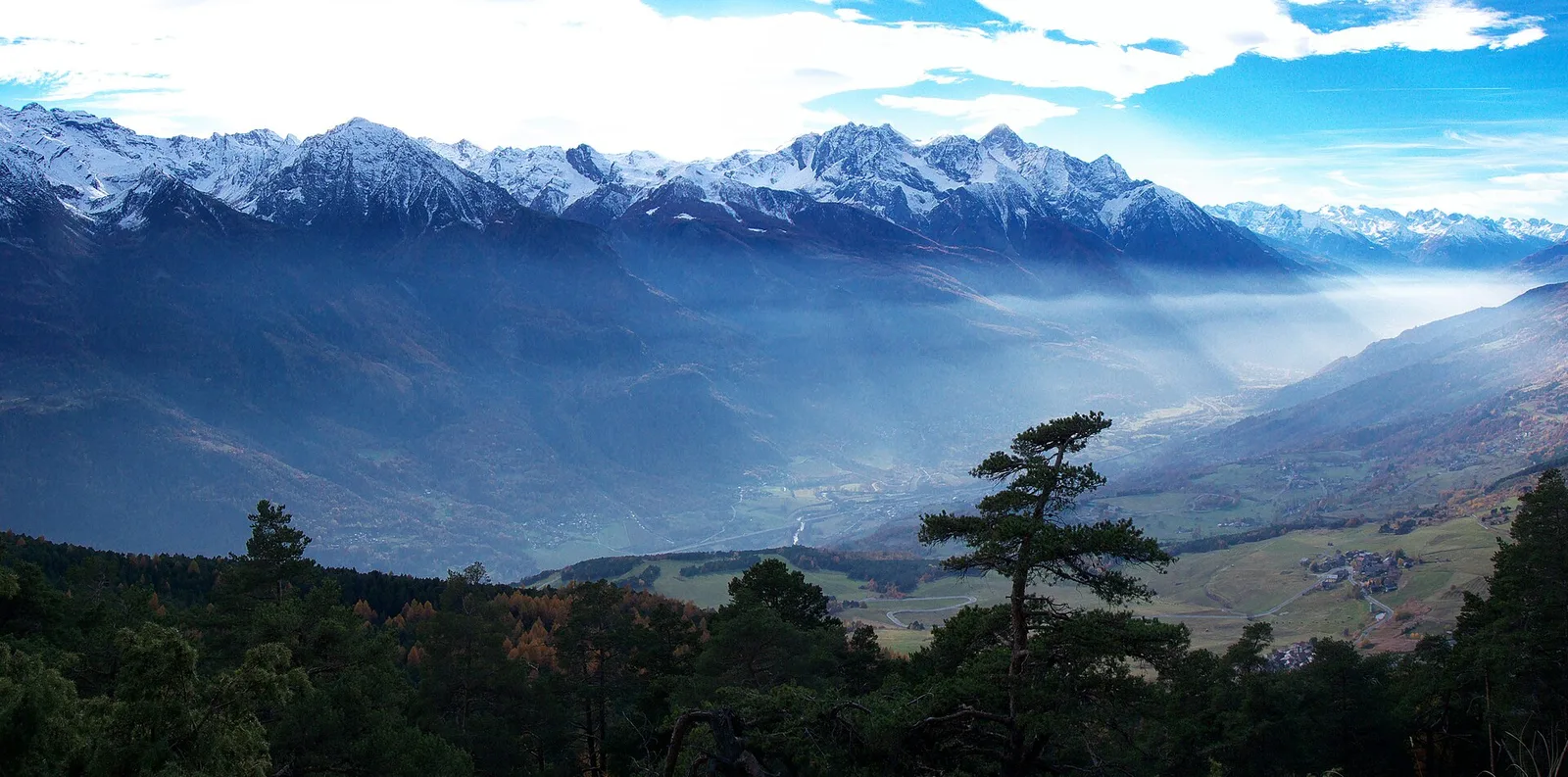
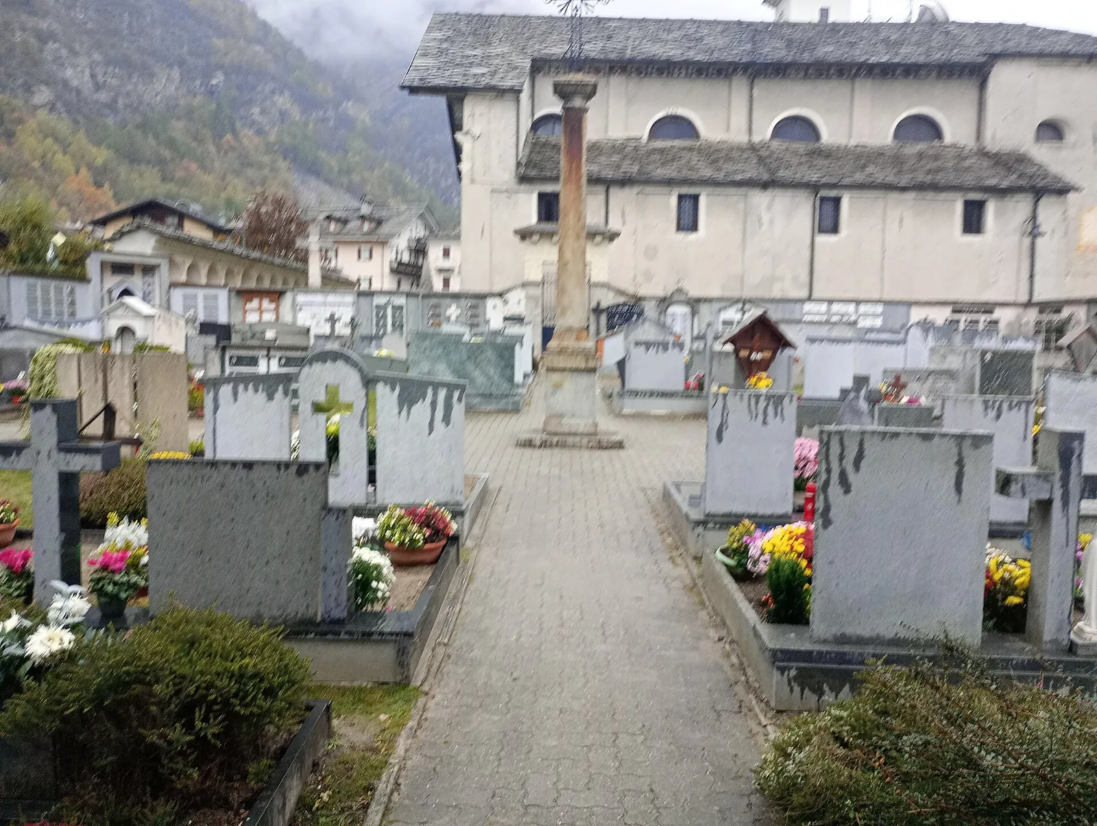
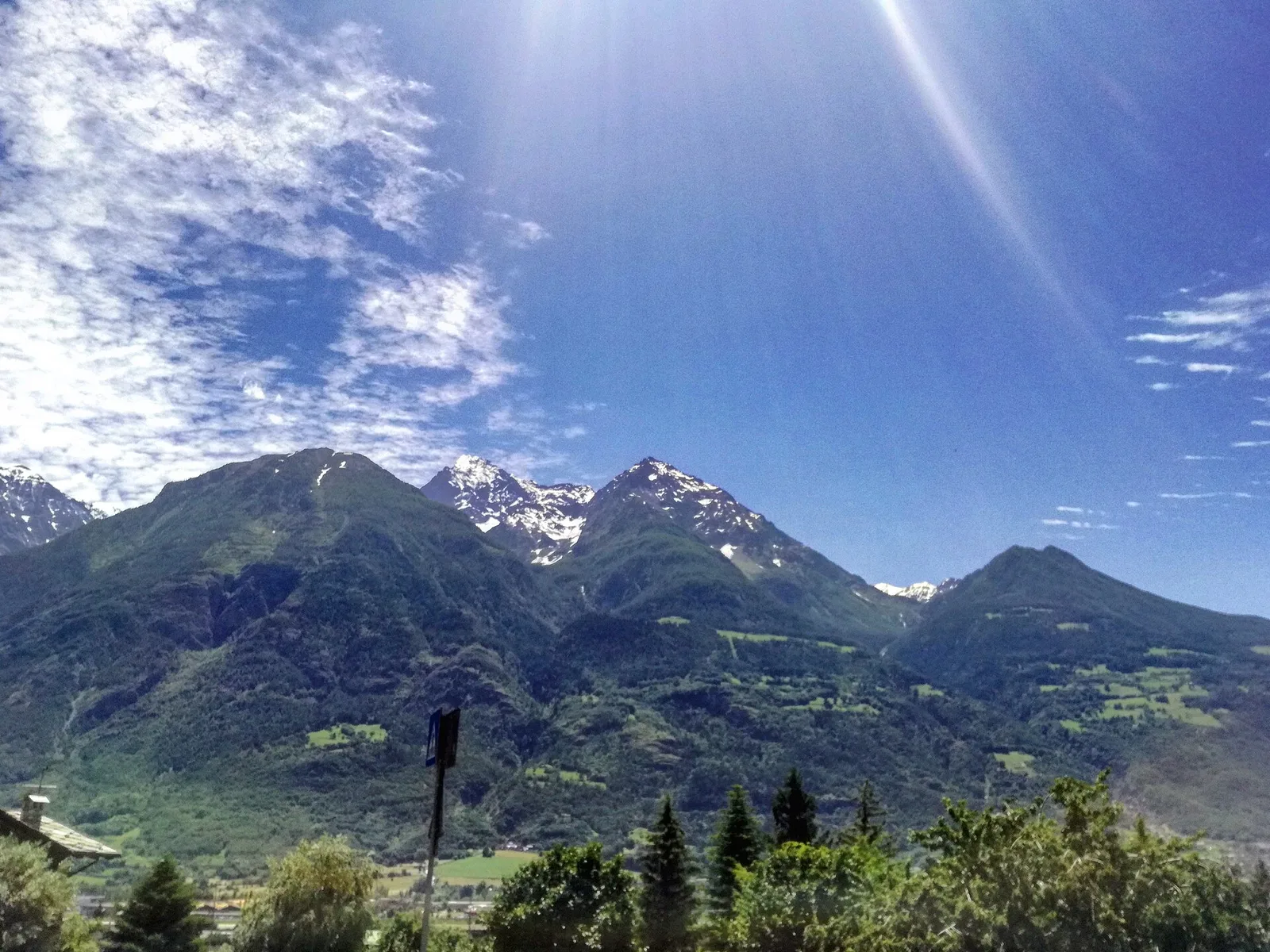
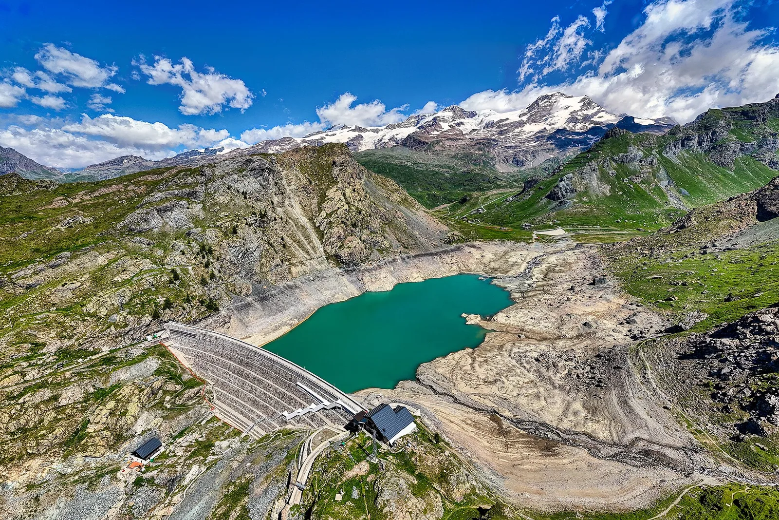
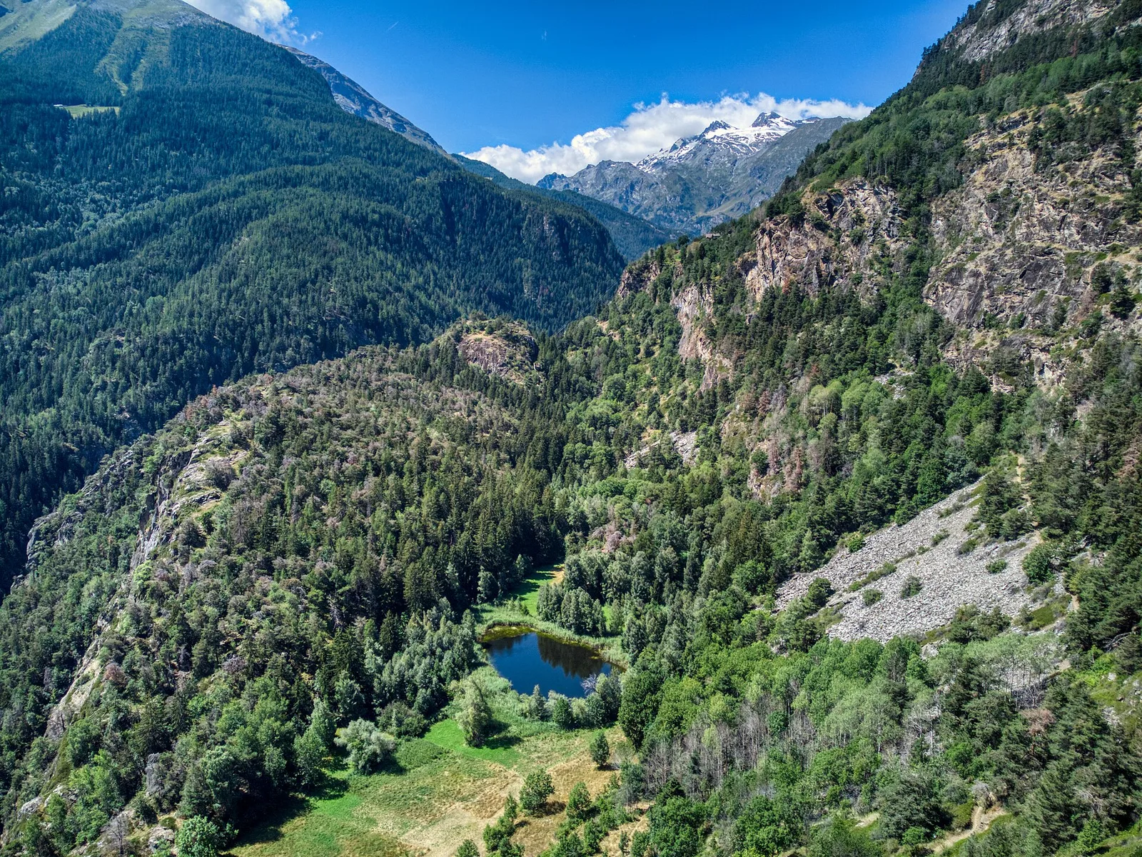
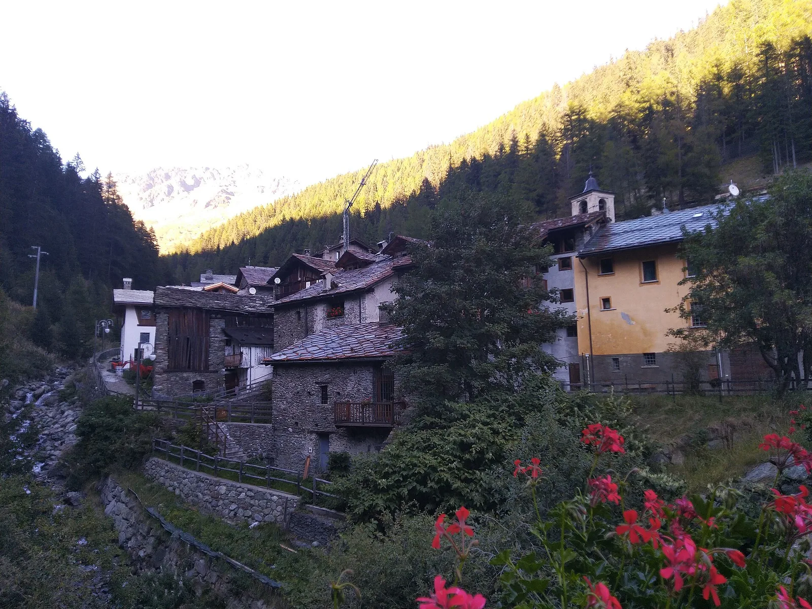
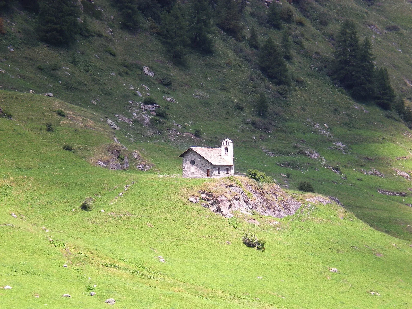
Valtournenche
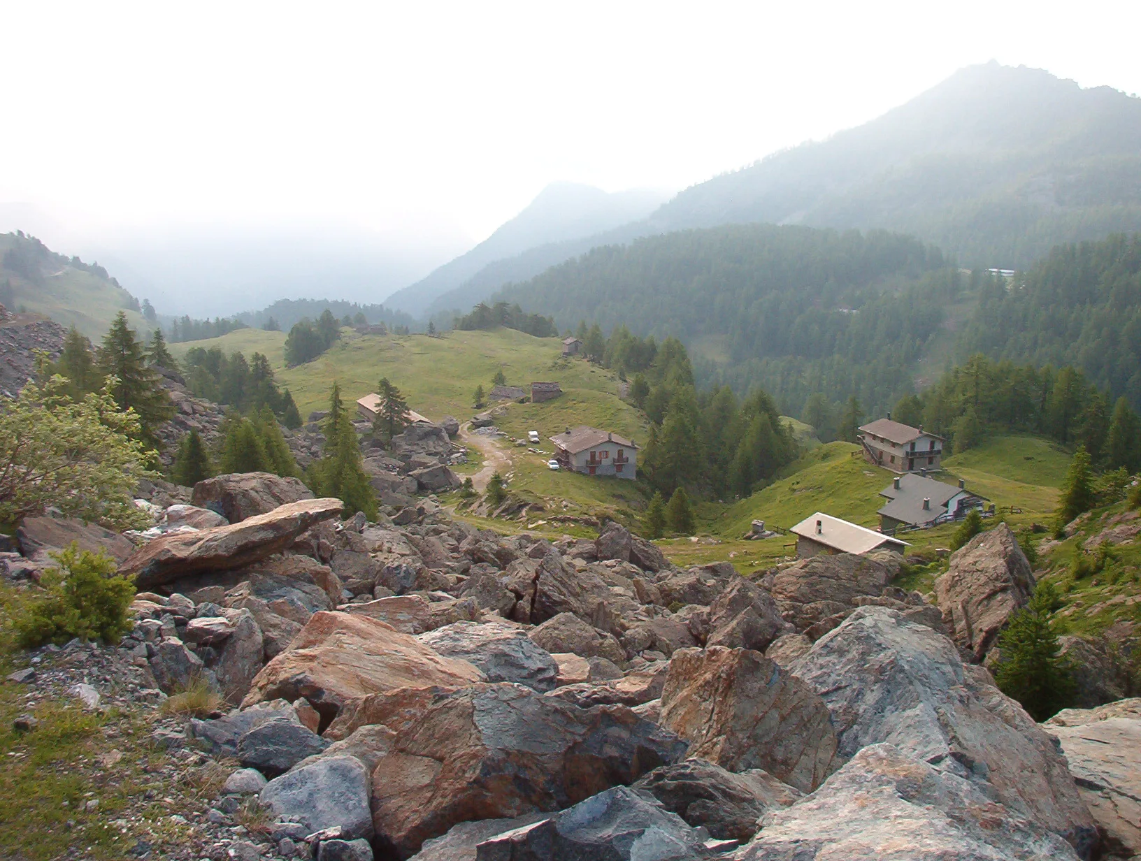
Anello Area sportiva-Fiernaz-Area sportiva
2.9 km · +28 m · T — from Area sportiva to Area sportiva (Valtournenche).
2.9 km+28 m1 h
Where to spot
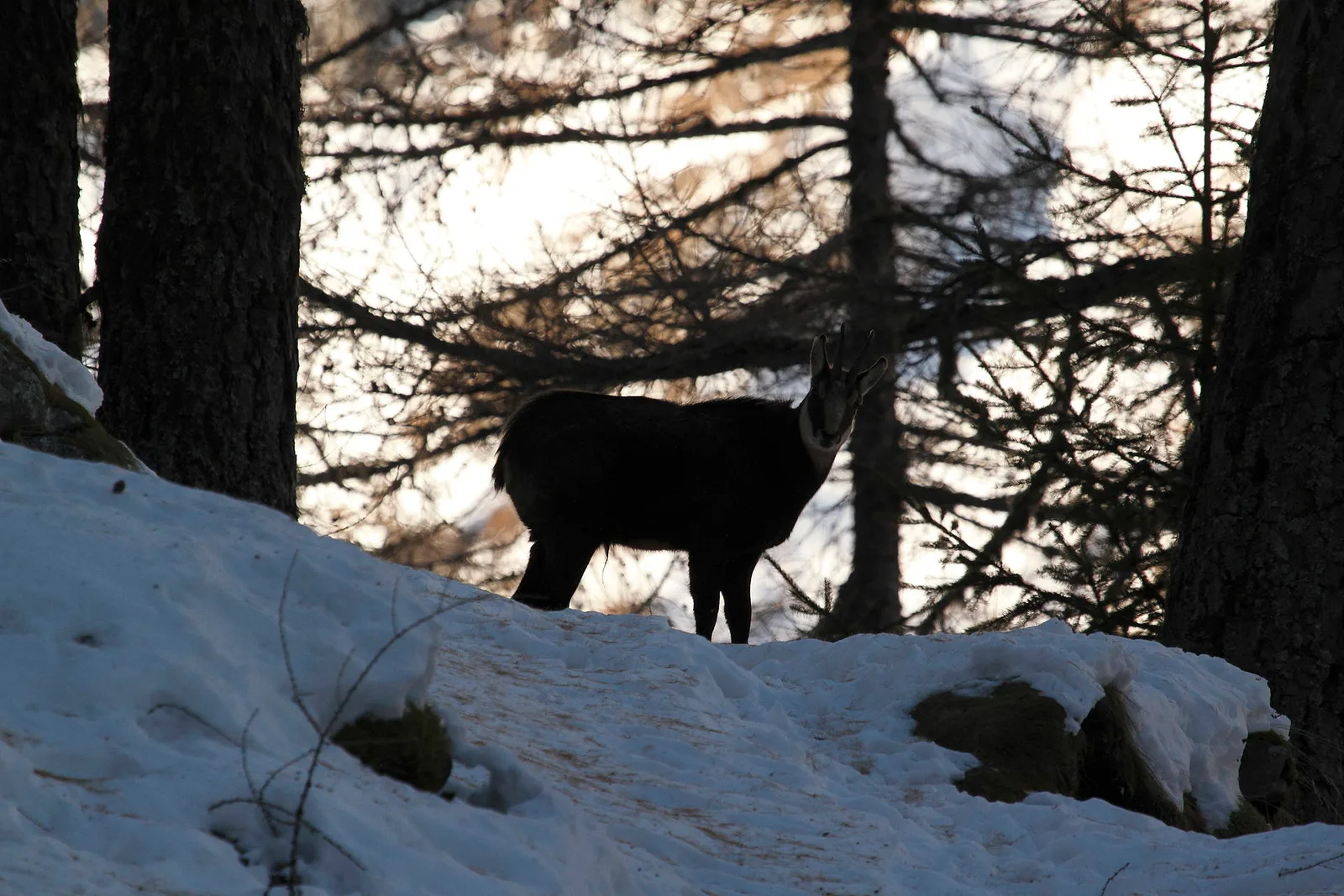
66 trails where Dog rose is listed in flora/fauna: difficulty T–EEA, elevation gain 0–1814 m.
66 · 0.5–15.8 km · +0–1814 m
Valtournenche
2.9 km · +28 m · T — from Area sportiva to Area sportiva (Valtournenche).

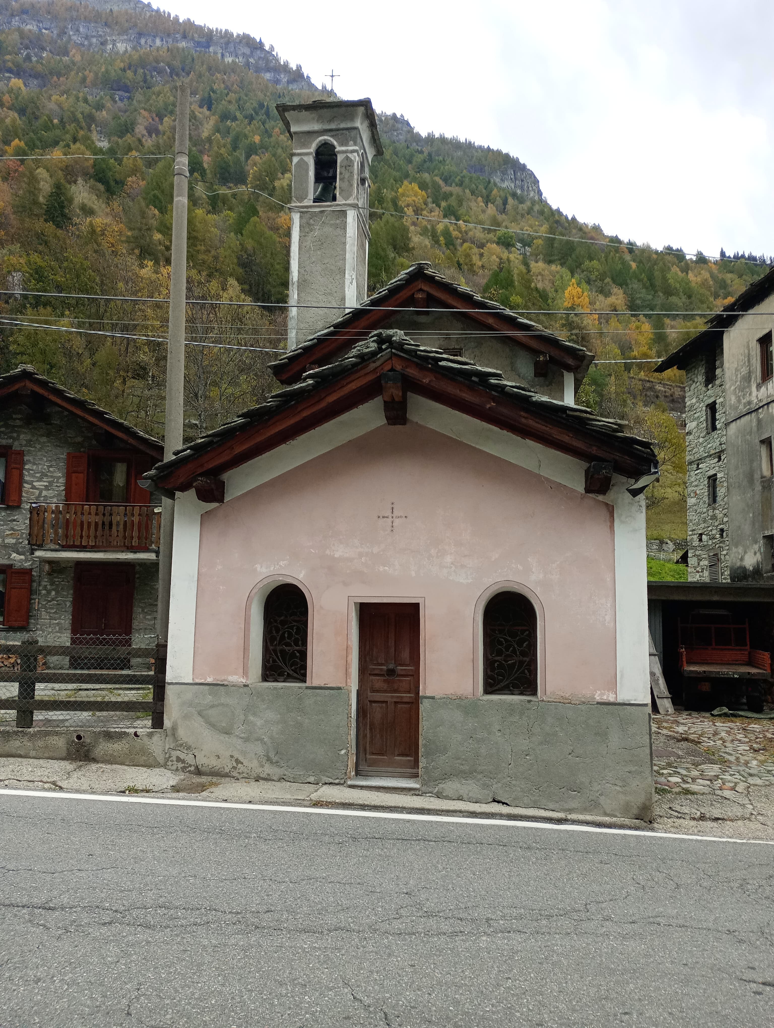
Valtournenche
A loop through the sunlit hamlets of Antey and Torgnon: traditional Aosta Valley architecture, vineyards and mid-mountain forest, 5.2 km from Ruvère.

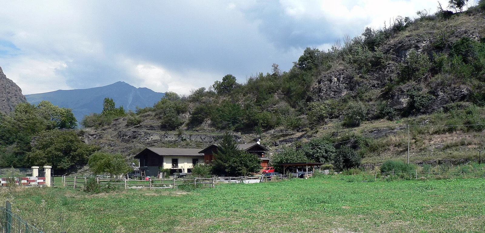
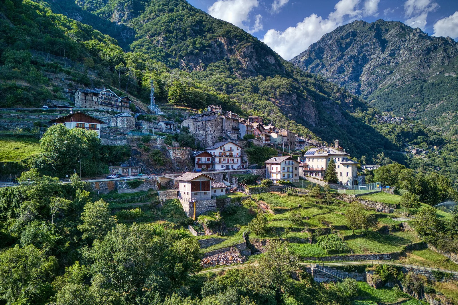
Valtournenche
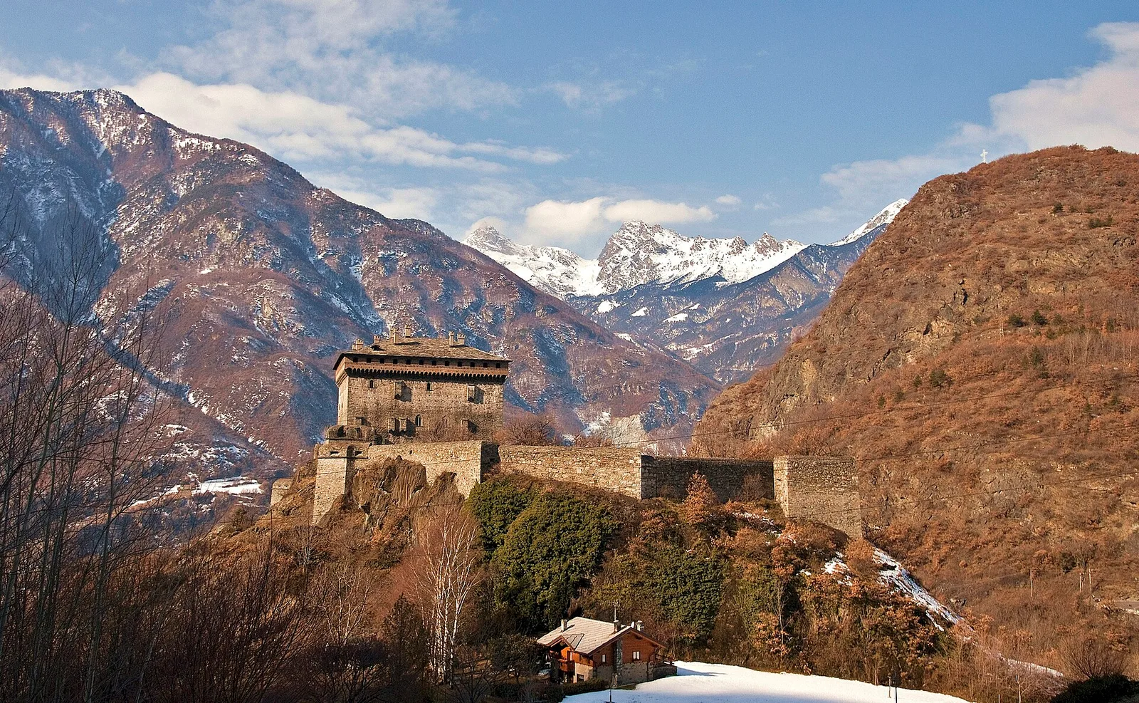
From Arlier (603m) to Cloutraz (1067m) on the Châtillon hillside: 3.5 km E through vineyards, woodland and views over the Dora Baltea.
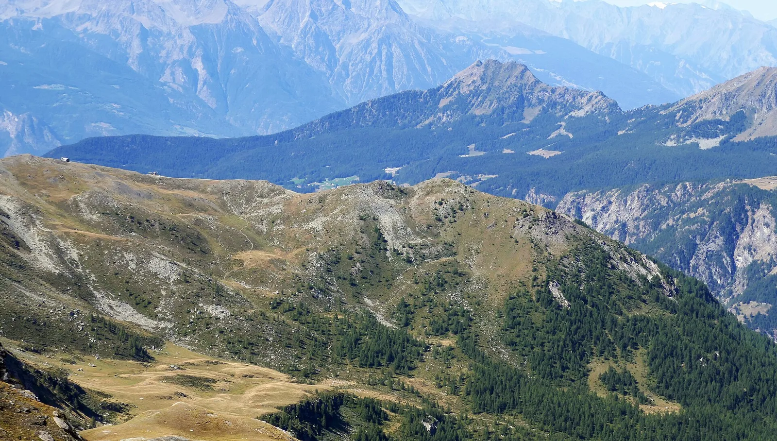
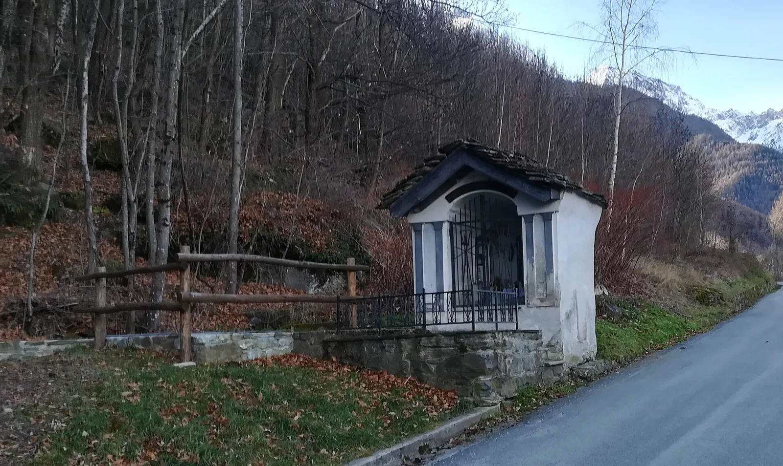
Valpelline
1.6 km · +184 m · E — from Berzin to Masod (Valpelline).
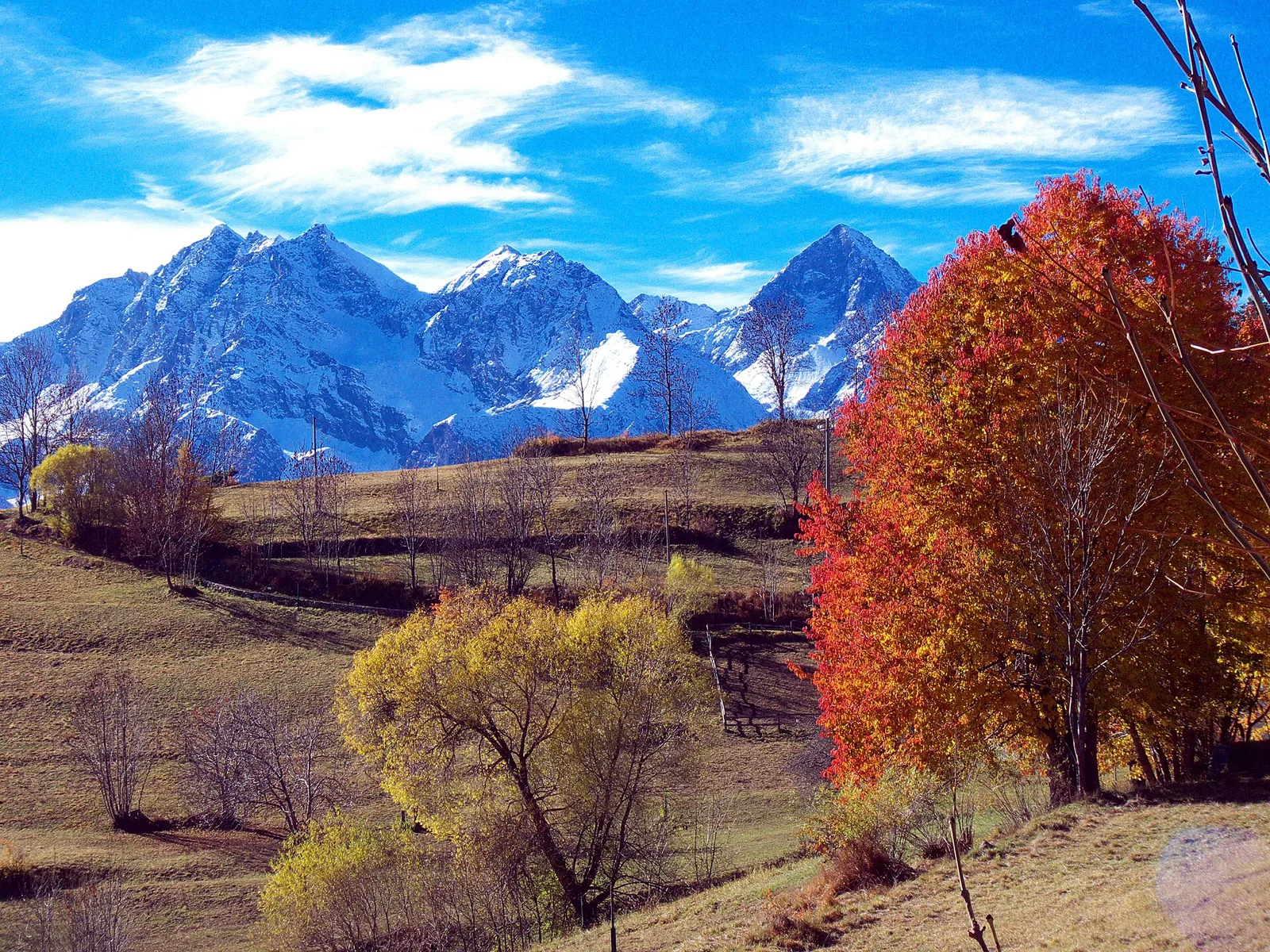
Valle centrale
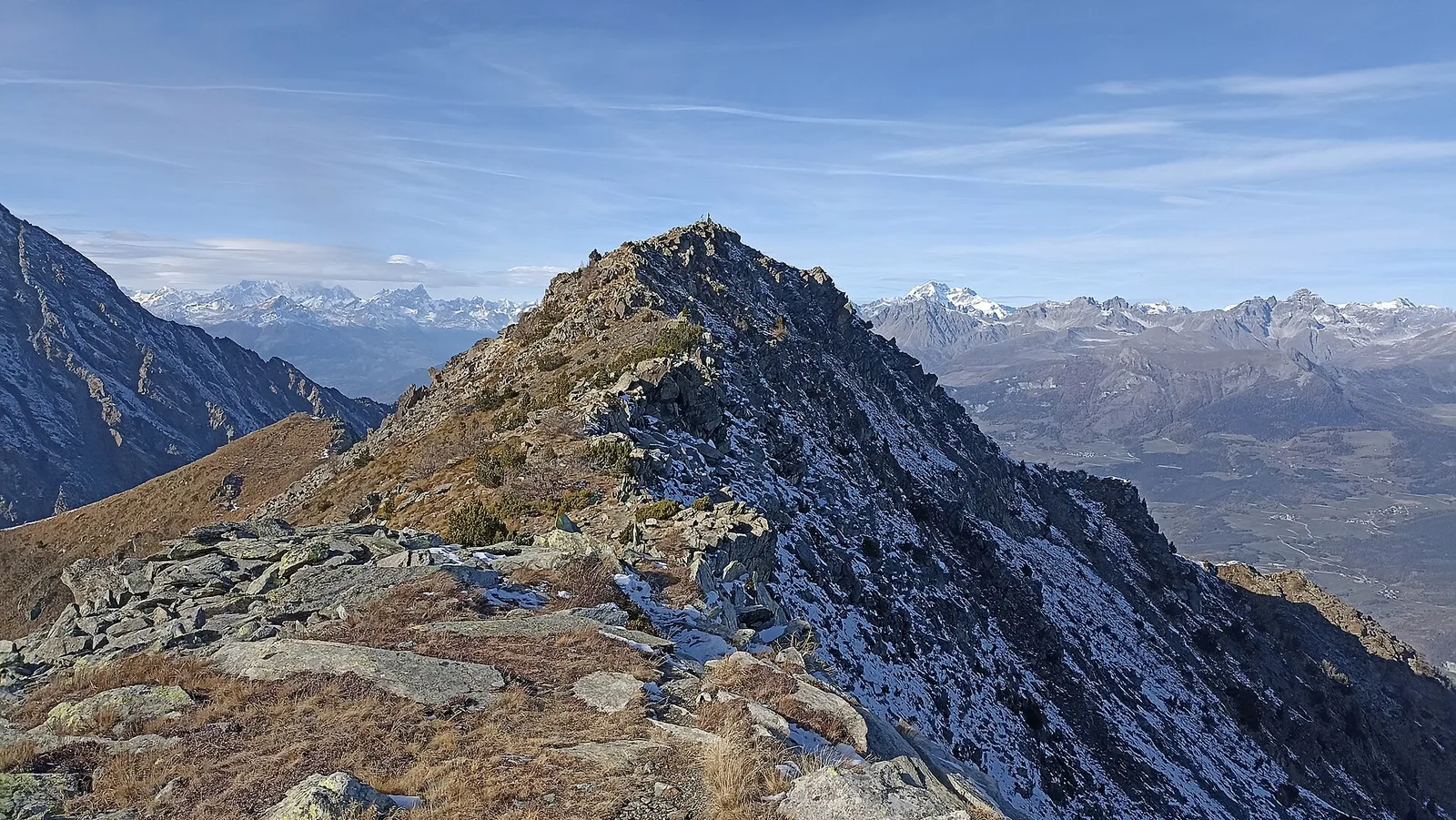
Commune of Ayas: an EE climb toward the high altitudes of the Val d'Ayas in a high-mountain environment.
Valle centrale
6.6 km · +0 m · EE — from Capiron to Gettaz (Central Valley).
Valsavarenche
5.5 km · +811 m · E — from Verrayes (capoluogo) to Col des Bornes (Valsavarenche).
La Thuile
0.6 km · +165 m · E — from Chabodey to Plan Belon (La Thuile).
Valle centrale
4.4 km · +543 m · E — from Champlong dessus to Petit-Poignon (Central Valley).
Valle centrale
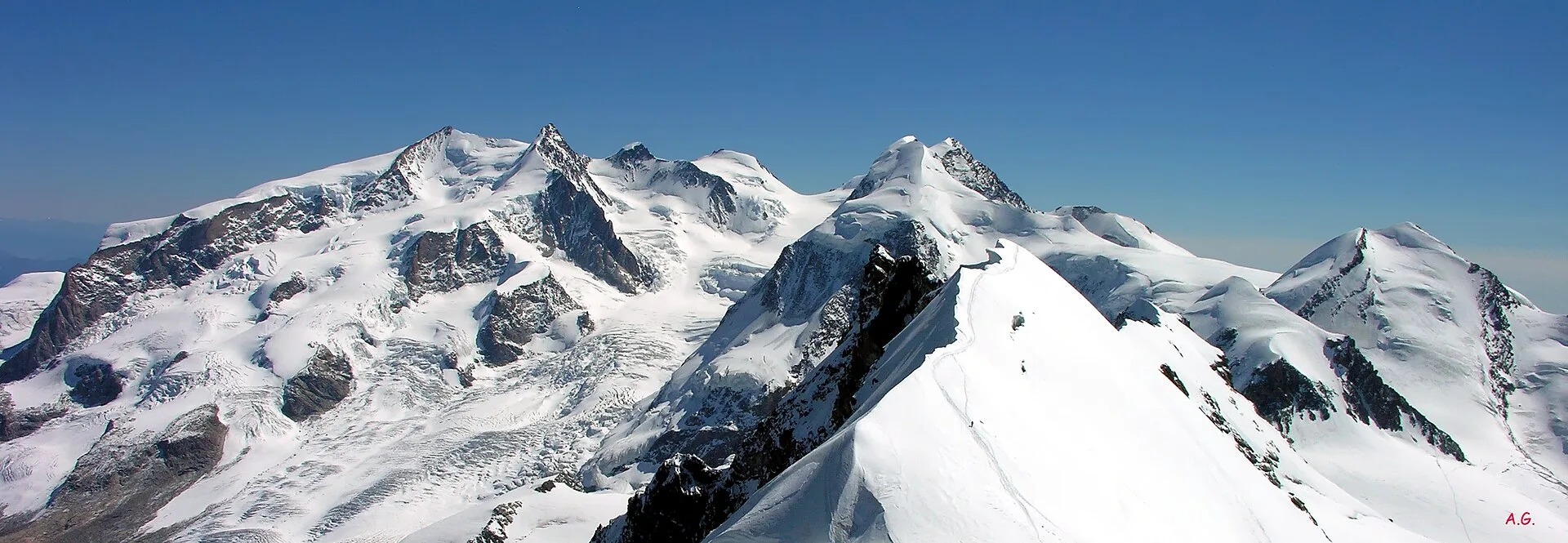
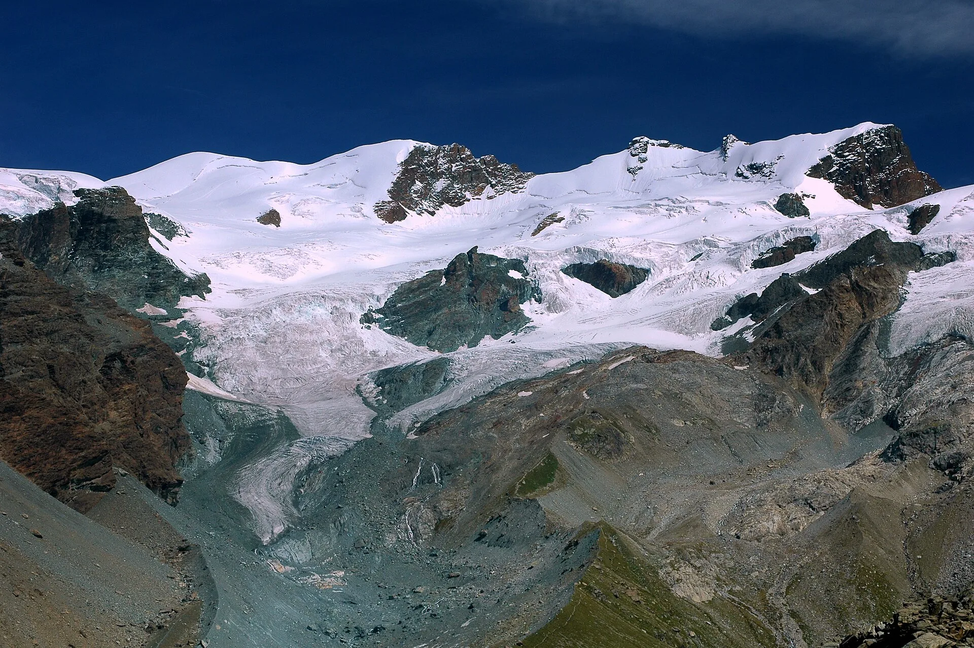
From Champoluc (1569m) to Testa Grigia (3315m): 8.2 km EEA — the Val d'Ayas summit on foot, full panorama over all Monte Rosa four-thousanders and the Matterhorn.
Valpelline
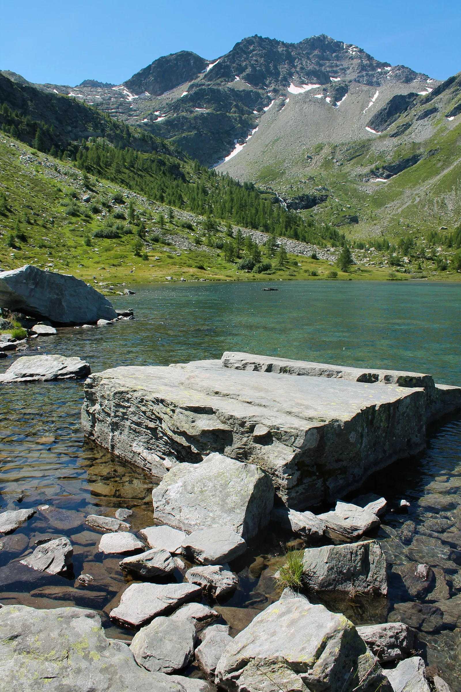
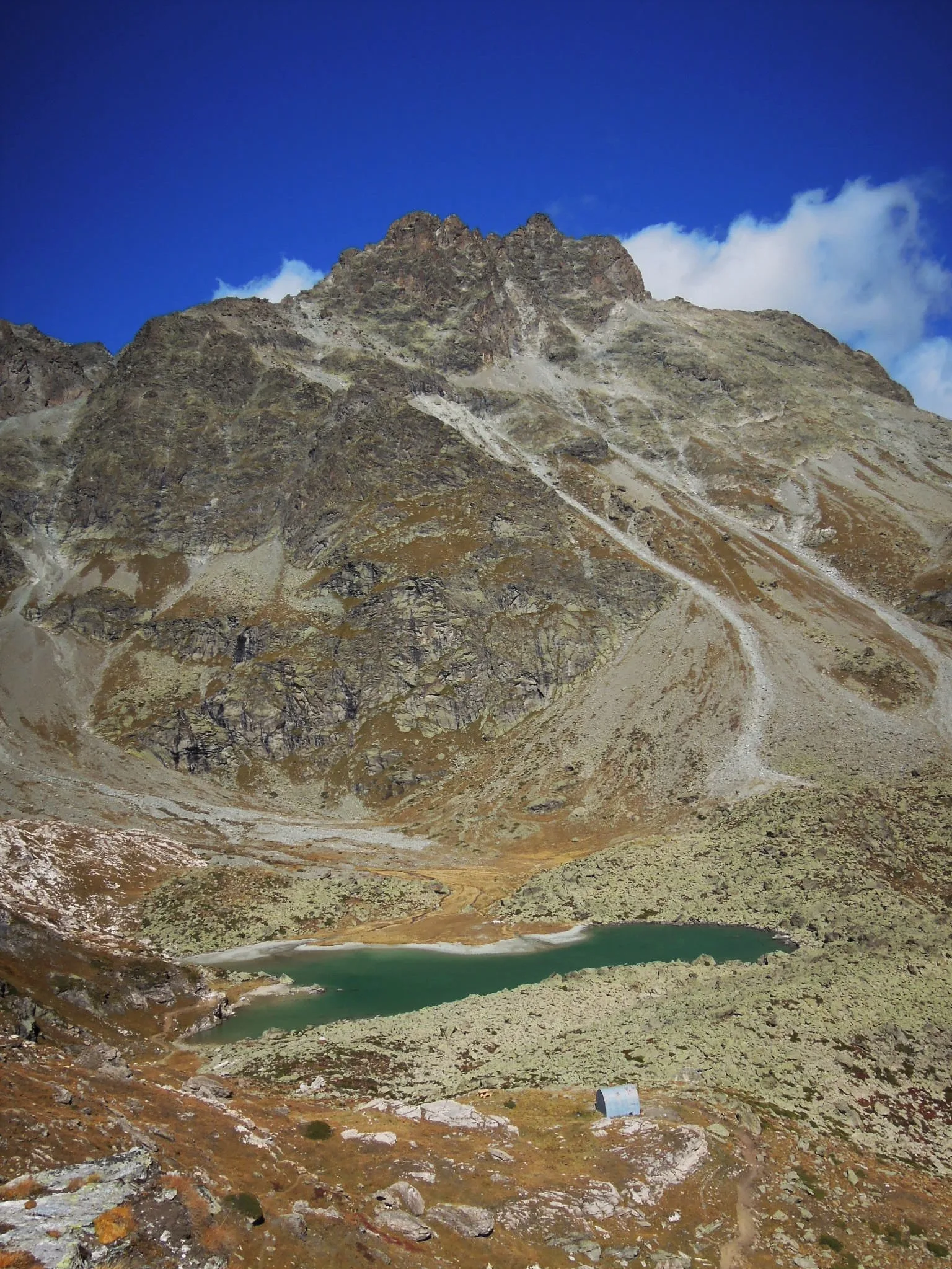
From Chez-Chenoux the trail quickly clears the forest belt and opens onto the Comba di Vertsan pastures, climbing to the ruins of Alpe Chardonney (2519 m) in the quiet upper Valpelline.
Valdigne
6.8 km · +0 m · E — from Cloutraz to Bellecombe (Valdigne).
Valsavarenche
2.7 km · +441 m · E — from Crétaz to Capoluogo (Valsavarenche).
Valle del Gran San Bernardo
5.8 km · +1129 m · EE — from Dolonne to Mont-Chetif (Great St Bernard Valley).
Valle del Gran San Bernardo
6.6 km · +880 m · E — from Druges to Col de Crotey (Great St Bernard Valley).
Val d'Ayas
5.2 km · +966 m · E — from Fenille to Colle Becca Plana (Ayas Valley).

Valle del Lys
7.3 km · +1592 m · E — from Fontainemore (Capoluogo) to Colle Marmontana (Lys Valley).
Valle del Lys
3.1 km · +95 m · E — from Gimillan to Tsavanis (Lys Valley).
Valtournenche
1.1 km · +265 m · EE — from Gontier to Grand-Mont-Blanc (Valtournenche).
Valtournenche
1.6 km · +13 m · E — from Grand Moulin to Poutaz (Valtournenche).
Val d'Ayas
4.6 km · +713 m · E — from Grundji to Grundji (Ayas Valley).
Valsavarenche
4.3 km · +659 m · E — from Chiesa di San Giorgio to Biel (Valsavarenche).
Val d'Ayas
4.3 km · +92 m · E — from Capoluogo to Gaby (Ayas Valley).
Valtournenche
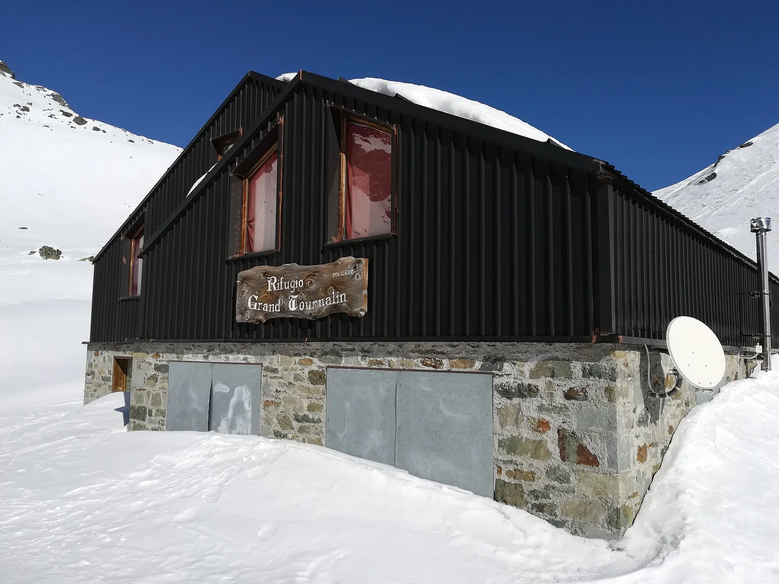
7.6 km · +1281 m · E — from La Béthaz to Rifugio degli Angeli al Morion (Valtournenche).
Val d'Ayas
3.6 km · +312 m · E — from Bivio lago to Bivio lago (Ayas Valley).
Valtournenche
1.3 km · +8 m · E — from Lies to Strada (Valtournenche).

Valpelline
7.4 km · +1084 m · E — from Lignan to Bivacco Rosaire Clermont (Valpelline).
Valle centrale
2.4 km · +438 m · E — from Lillianes to Le Miriou (Central Valley).
Valle centrale
0.9 km · +39 m · E — from Chez-Percher to Cau (Central Valley).
Valle del Lys
2 km · +461 m · E — from Moulin to Gorettaz (Lys Valley).
Valle centrale
6.5 km · +1049 m · E — from Mure to Boden (Central Valley).
Valpelline
4.3 km · +591 m · E — from Nus to Blavy (Valpelline).
Valpelline
6.1 km · +1205 m · E — from Capoluogo to Bivacco Regondi (Valpelline).
Valle del Lys
5.7 km · +773 m · E — from Ondre Eselbode to Rifugio Gabiet (Lys Valley).
Valle del Gran San Bernardo
1.7 km · +471 m · E — from Pianatz to Kocia (Great St Bernard Valley).
Valle del Lys
3.6 km · +228 m · E — from Plan d'Introd to Moulin de Tache (innesto sentiero 6) (Lys Valley).
Valle centrale
3.8 km · +581 m · E — from Plan de Brun to Fey (Central Valley).
Valtournenche
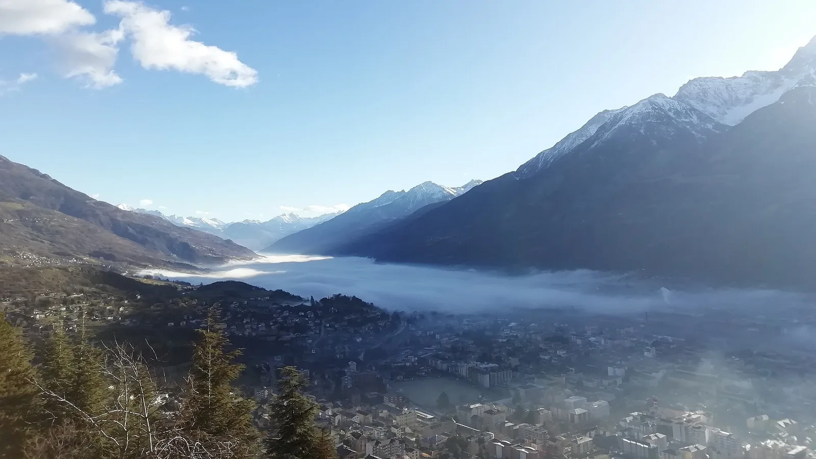
From the Dora Baltea bridge (500 m) to Verthuy (1058 m) above Châtillon: 568 m in 3.6 km. Quick transition from valley floor to terraced meadows.
Valle del Lys
6 km · +1217 m · E — from Ponte Vernosse to Col de L'Arpeyssaou (Lys Valley).
Valpelline
7.9 km · +832 m · E — from Praz to Bivacco Reboulaz (Valpelline).
Val di Rhêmes
4.4 km · +0 m · E — from Pré-Saint-Didier to Morgex (Rhêmes Valley).
Valdigne
6.6 km · +1143 m · E — from Promiod to Madonna dello Zerbion (Valdigne).

Val d'Ayas
2.6 km · +308 m · E — from Quinçod to Alésaz (Ayas Valley).

Val d'Ayas
4.7 km · +742 m · E — from Quinçod to Leuriaz (Ayas Valley).
Val d'Ayas
In the lower Val d'Ayas, Challand-Saint-Victor: an E-rated climb through vineyards, forest and terraced land toward historic hamlets.
Valle del Lys
9 km · +1264 m · E — from Joux to Colle passo Alto (Lys Valley).
Val d'Ayas
1.4 km · +0 m · E — from Paysan to Casa fine poderale 29 (Ayas Valley).
Valdigne
2.4 km · +263 m · E — from Runaz to Rochefort (Valdigne).
Valle centrale
From Saint-Jacques, the demanding EE route to Mont Roisetta climbs pastures, scree and high-mountain terrain in the Val d'Ayas, with views toward Monte Rosa.

Val d'Ayas
2.3 km · +283 m · E — from Sizan to Sant'Anna (Ayas Valley).

Val d'Ayas
1.9 km · +316 m · E — from Sizan to Col d'Arlaz (Ayas Valley).
Val d'Ayas
A short, steep climb from Strada Cappuccini (601 m) to Excenex (1,036 m) in Val d'Ayas: 3.2 km and 452 m of ascent.
Valtournenche
2.4 km · +355 m · E — from Strada to Omens (Valtournenche).
Valle centrale
2.4 km · +411 m · E — from Strada Statale 27, start str militare to Plan Puitz (Central Valley).
Valsavarenche
10.4 km · +0 m · E — from Verrayes to Nus (Valsavarenche).
Valpelline
15.8 km · +0 m · E — from Rifugio Cuney to Les Sergnoux (Valpelline).
Valtournenche
11.1 km · +547 m · E — from Roisan to Arpuilles (Valtournenche).
Valle di Champorcher
15.6 km · +0 m · E — from Crest to Capoluogo (Champorcher Valley).
Val di Rhêmes
11.9 km · +0 m · E — from Castello di Quart to Chiesa di Diemoz (Rhêmes Valley).
Valle di Champorcher
0.5 km · +167 m · E — from Terrisse to Attacco Mont Charvatton (Champorcher Valley).
Val d'Ayas
3.2 km · +288 m · E — from Tilly to Mayn (Ayas Valley).
Valtournenche
3 km · +586 m · E — from Usellières to Rifugio Chalet de l'Epée (Valtournenche).
Valle del Gran San Bernardo
1.5 km · +352 m · E — from Valmeanaz to Rean (Great St Bernard Valley).
Valtournenche
1.6 km · +382 m · E — from Valyre to Salirod (Valtournenche).
Valle centrale
2.4 km · +151 m · E — from Verrogne to Vetan (Central Valley).
Valle del Gran San Bernardo
3.2 km · +366 m · E — from Visaille to Lago del Miage (Great St Bernard Valley).