T
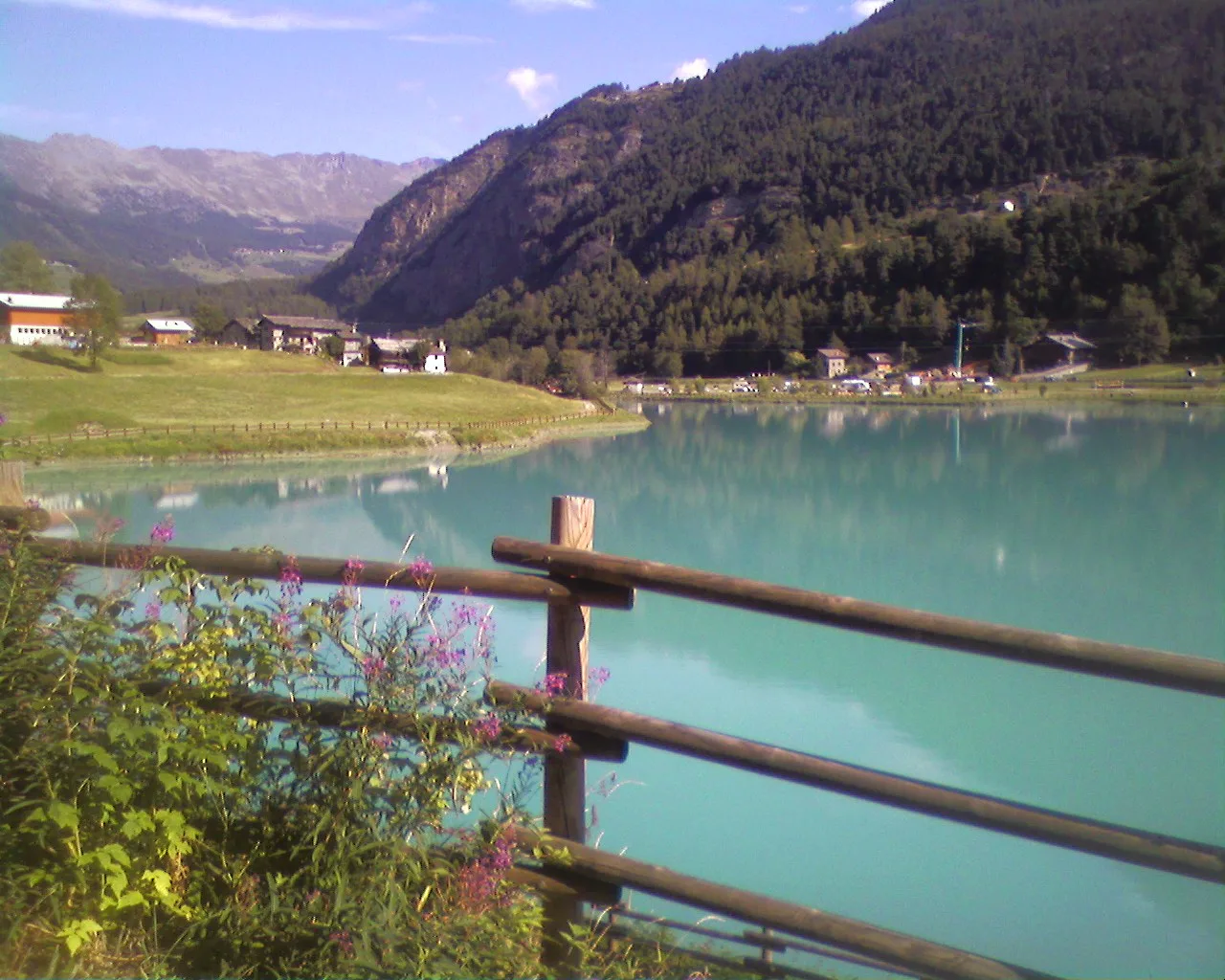
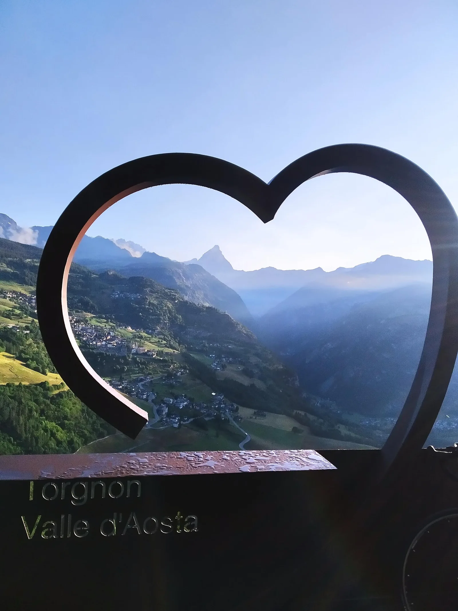
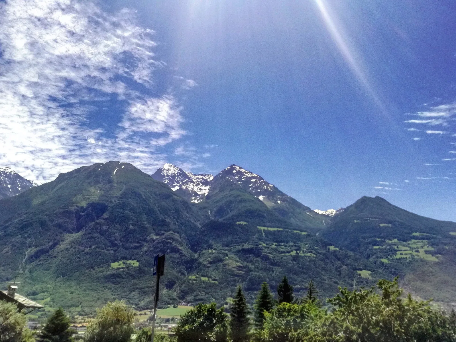
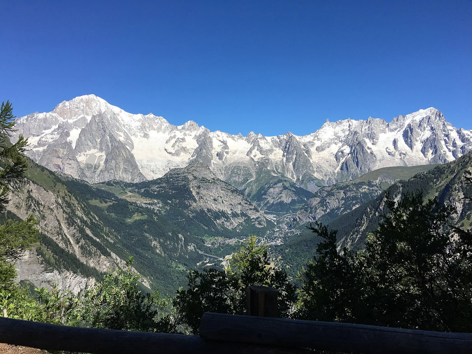
Val d'Ayas
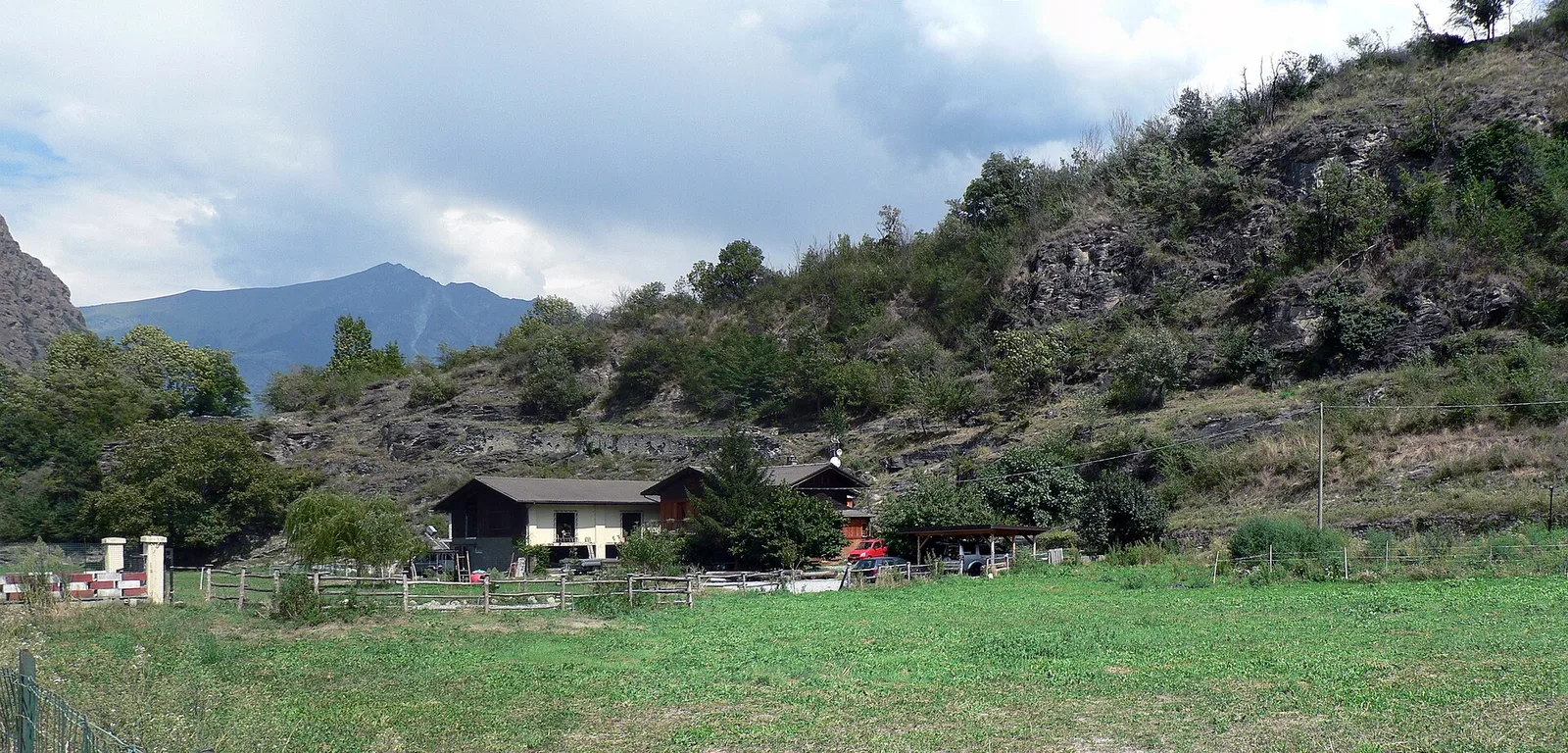
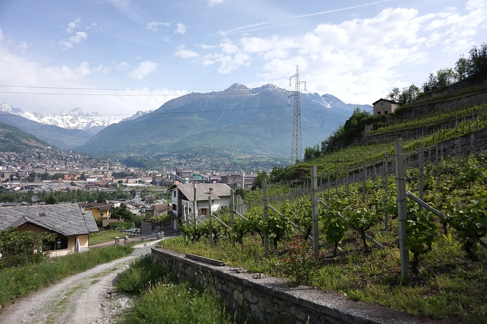
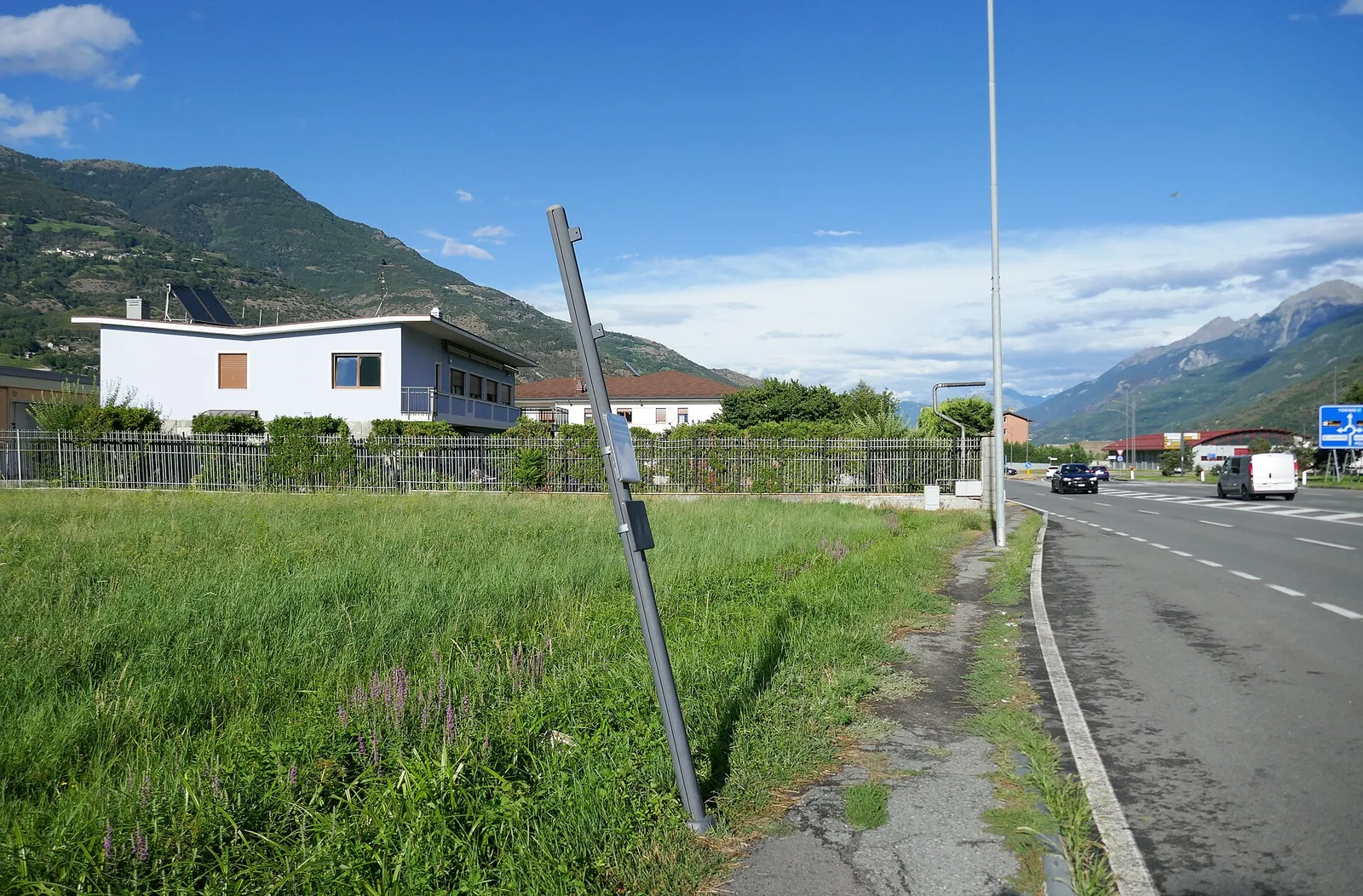
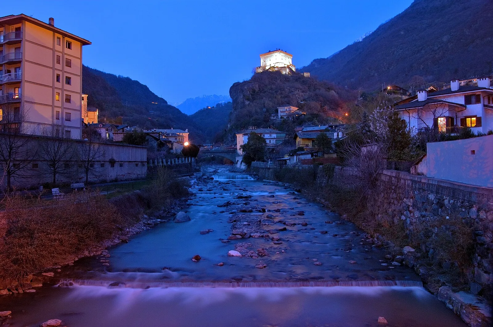
Arcésaz - Brusson (Guillattes)
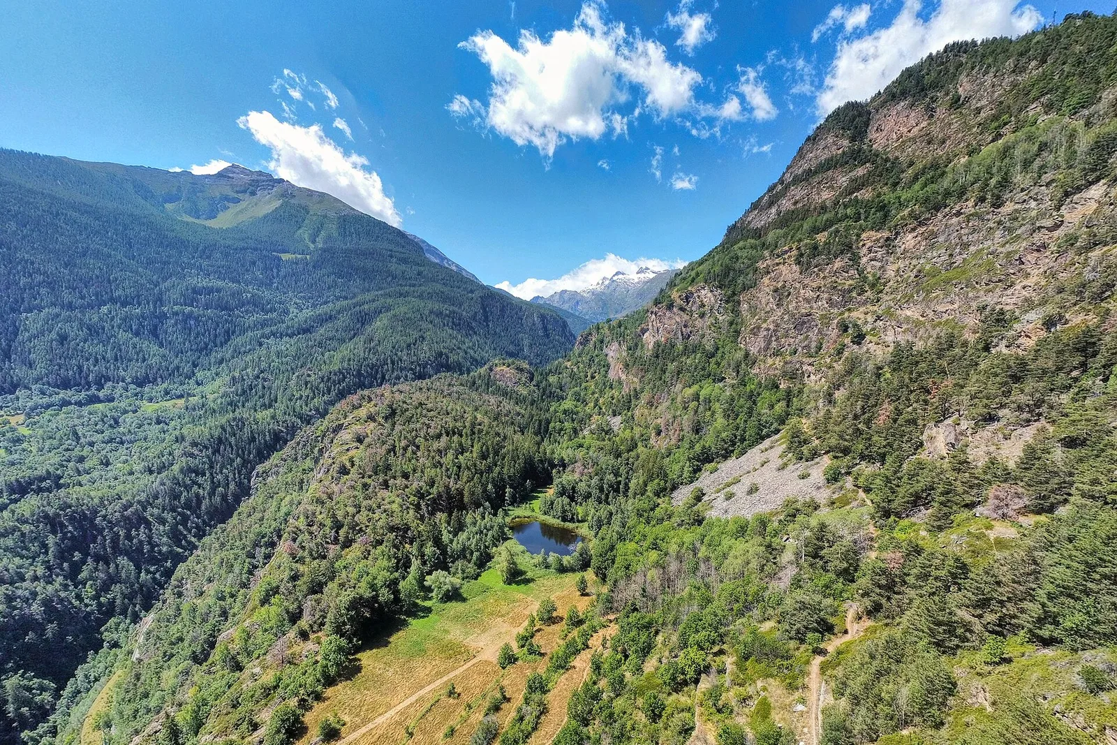
An easy T-rated stroll from Arcésaz to Brusson along irrigation canals and mid-slope paths in the Val d'Ayas: 3.6 km, no difficulty, suitable for families and all levels.
3.6 km+143 m1.5 h
Where to spot
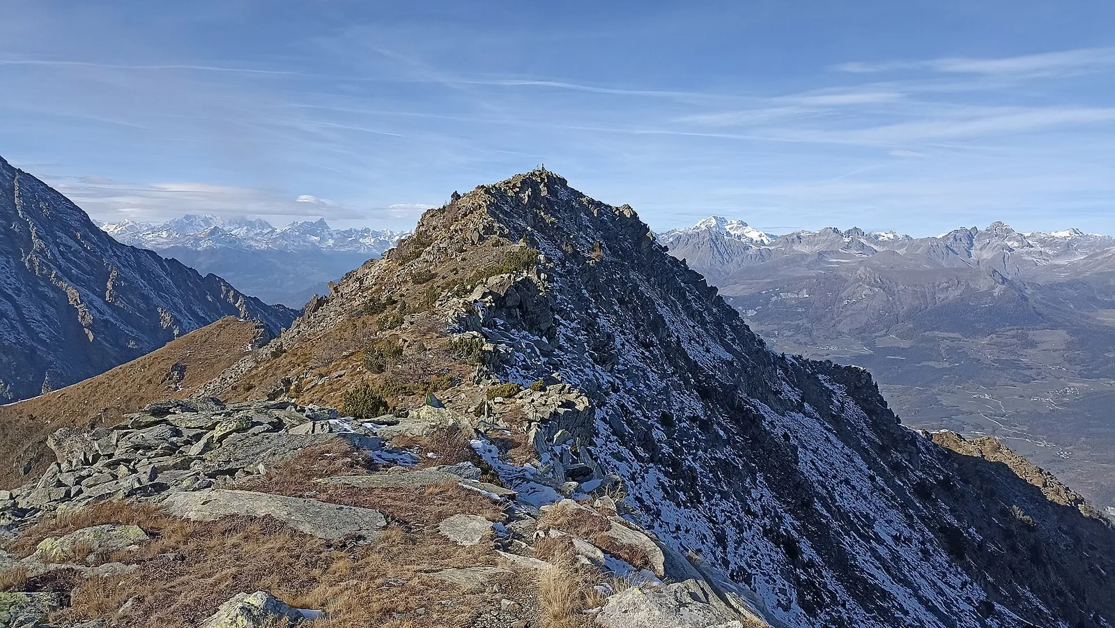
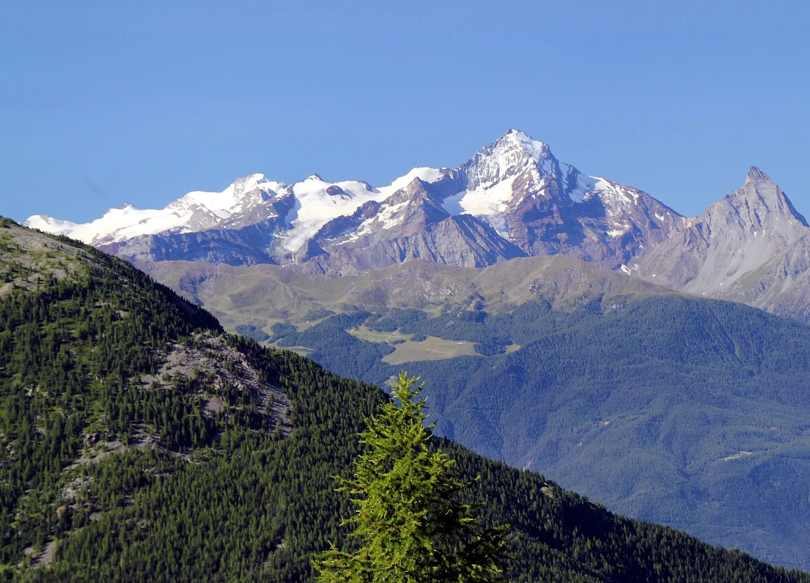
50 trails where Elder is listed in flora/fauna: difficulty T–EE, elevation gain 0–1737 m.
50 · 0.1–53.5 km · +0–1737 m
Val d'Ayas
An easy T-rated stroll from Arcésaz to Brusson along irrigation canals and mid-slope paths in the Val d'Ayas: 3.6 km, no difficulty, suitable for families and all levels.
Valle centrale
In the Valdigne, La Salle: an E-rated route through forest and pasture with views of Mont Blanc.
Valle centrale
0.9 km · +203 m · E — from Aymavilles (St-Léger) to Strada regionale per Cogne (Cogne Valley).
Valtournenche
0.1 km · +840 m · E — from Bedeugaz to Plau (Central Valley).
Val d'Ayas
6.6 km · +0 m · EE — from Capiron to Gettaz (Central Valley).
Bassa Valle
2.4 km · +471 m · E — from Cappella Sant'Erasmo to Reserve Naturelle de Holay (Central Valley).

Val d'Ayas
1.3 km · +0 m · E — from Strada regionale to Cascata Isollaz (Ayas Valley).
Valle centrale
0.6 km · +165 m · E — from Chabodey to Plan Belon (La Thuile).
Val d'Ayas
53.5 km · +0 m · EE — from Pont-Suaz to Capoluogo (Cogne Valley).
Valle centrale
1.2 km · +181 m · E — from Charvensod to Sainte-Colombe (Cogne Valley).
Valle centrale
6.8 km · +0 m · E — from Cloutraz to Bellecombe (Valdigne).
Valle centrale
4.7 km · +821 m · E — from Cort to Charrère (Valsavarenche).
Valpelline
1 km · +107 m · E — from Cretaz to Tour d'Oyace (Lys Valley).
Val d'Ayas
0.4 km · +0 m · E — from Erésaz to Grand Hoel (Great St Bernard Valley).
Val d'Ayas
3.5 km · +223 m · E — from Erésaz to Grand Rhun (Great St Bernard Valley).

Valle centrale
1.4 km · +164 m · E — from Feilley to Moron (Valtournenche).
Bassa Valle
2.5 km · +373 m · E — from Fey to Piatolet (Central Valley).
Valle centrale
3.8 km · +450 m · E — from Fossaz to Grand Sarriod (Central Valley).
Valle centrale
0.8 km · +0 m · E — from Grand Haury to Castello Montmayeur (Valgrisenche).
Bassa Valle
1.3 km · +95 m · T — from Piazza del Municipio to Le tre Goye (Valsavarenche).
Valle centrale
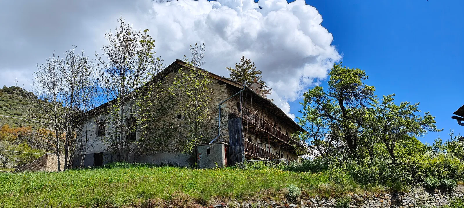
In the Valgrisenche, Arvier: a steady E-rated climb through forest and meadows toward upper pastures.
Valle centrale
3.3 km · +259 m · T — from Liarey to Chabodey (La Salle) (Central Valley).
Valtournenche
1.3 km · +310 m · E — from Lies to tornante S.R. (Valtournenche).
Valpelline
0.5 km · +135 m · E — from Località Champette to innesto sentiero 6 A (Valtournenche).
Valle del Gran San Bernardo
0.9 km · +39 m · E — from Chez-Percher to Cau (Central Valley).
Bassa Valle
3.9 km · +1035 m · E — from Monteil to Montat (Valtournenche).
Valle centrale
2 km · +461 m · E — from Moulin to Gorettaz (Lys Valley).
Valle centrale
1.2 km · +140 m · E — from Nus to Chateau de Nus (Valpelline).
Val d'Ayas
2.3 km · +160 m · E — from Orbeillaz to Pian Abelly (Ayas Valley).
Bassa Valle
3.1 km · +639 m · E — from Outrefer to Pourcil (Valtournenche).
Valle del Lys
0.6 km · +266 m · E — from Issime (parco giochi) to Pirubeck (Ayas Valley).
Valle centrale
3.6 km · +228 m · E — from Plan d'Introd to Moulin de Tache (innesto sentiero 6) (Lys Valley).
Valle centrale
3 km · +795 m · E — from Pompiod to Torlin desot (cappella)- Raccordo 38_S6 (Valtournenche).

Valle centrale
2.1 km · +157 m · E — from Ponte delle Capre to Ussel (Valdigne).
Valle centrale
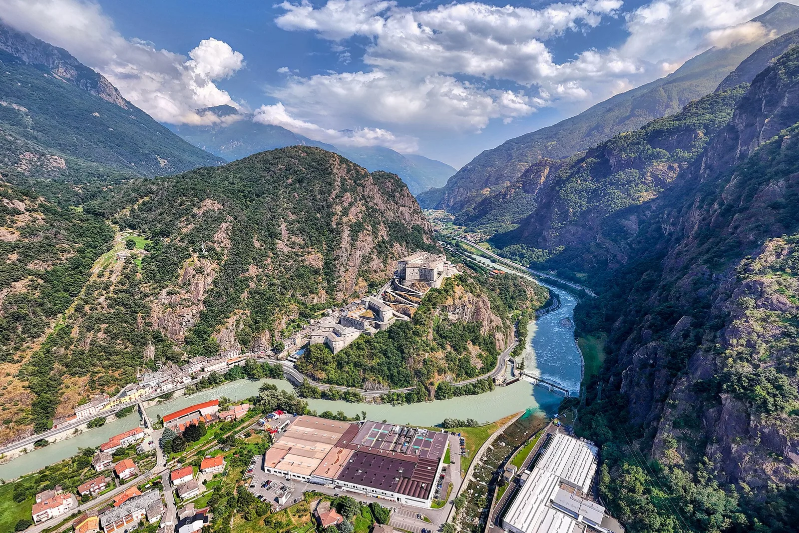
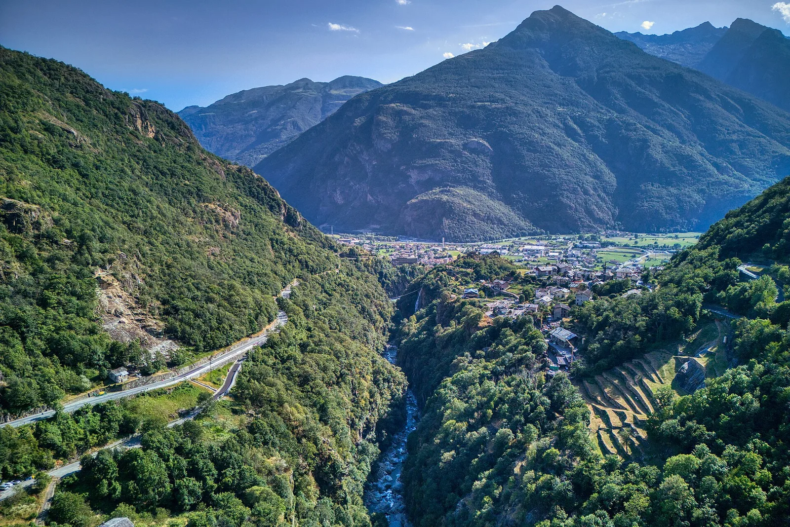
From the Dora Baltea bridge (500 m) to Verthuy (1058 m) above Châtillon: 568 m in 3.6 km. Quick transition from valley floor to terraced meadows.
Valle centrale
4.4 km · +0 m · E — from Pré-Saint-Didier to Morgex (Rhêmes Valley).
Valle centrale
1.6 km · +202 m · E — from Remiod (Rumiod) to Grand Sarriod (Central Valley).
Valle centrale
2.9 km · +688 m · EE — from Rovarey to Thuy damon (Chambave) (Lys Valley).
Bassa Valle
2.6 km · +828 m · E — from Rovarey to Jas Dèsot (Valtournenche).
Valle centrale
4.7 km · +0 m · T — from Confine comunale Aosta to Confine comunale Quart (Central Valley).
Valle centrale
3.1 km · +442 m · E — from Saint-Denis to Del (Central Valley).
Valle del Gran San Bernardo
1.8 km · +448 m · E — from Saint-Oyen to Saint-Oyen (Great St Bernard Valley).
Val d'Ayas
1.9 km · +316 m · E — from Sizan to Col d'Arlaz (Ayas Valley).
Bassa Valle
12.9 km · +1737 m · E — from Bourg to Sassa (Valtournenche).
Valle centrale
2.4 km · +310 m · E — from Tenso to Strada per Bellecombe (Valtournenche).
Valle centrale
2.3 km · +394 m · E — from Tiller to Valmianaz (Lys Valley).
Valpelline
4.5 km · +390 m · E — from Rey to Chatellair-Dessus (Valpelline).
Bassa Valle
1.4 km · +312 m · T — from Piazza R.Challand to Croix de Saint-Gilles (Valtournenche).
Valle centrale
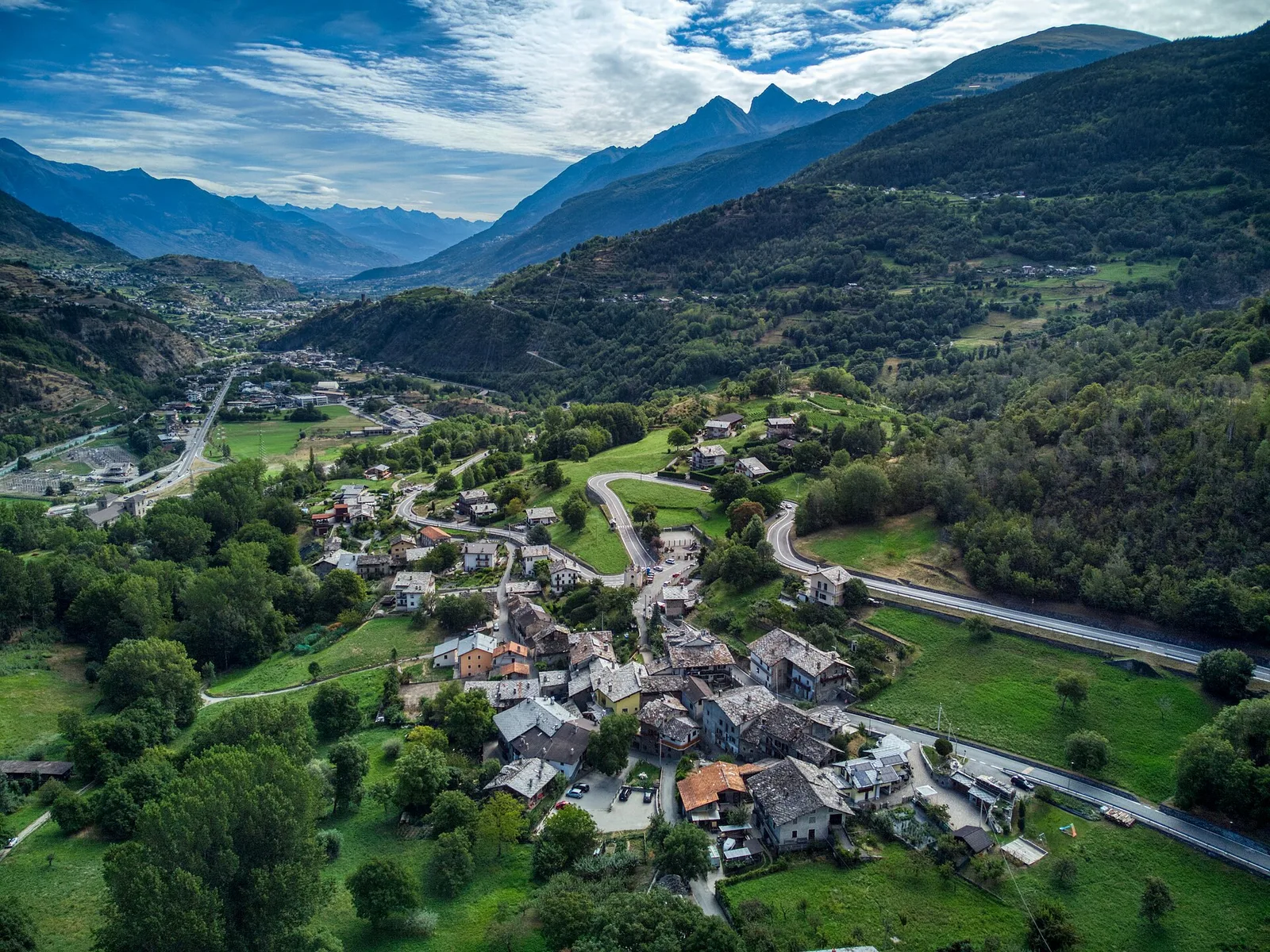
In the lower Val d'Ayas, Challand-Saint-Victor: a moderate climb through vineyards, meadows and forest toward upper hamlets.
Valle centrale
0.9 km · +0 m · E — from Capoluogo to Saint Roch (Central Valley).