E
Bassa Valle
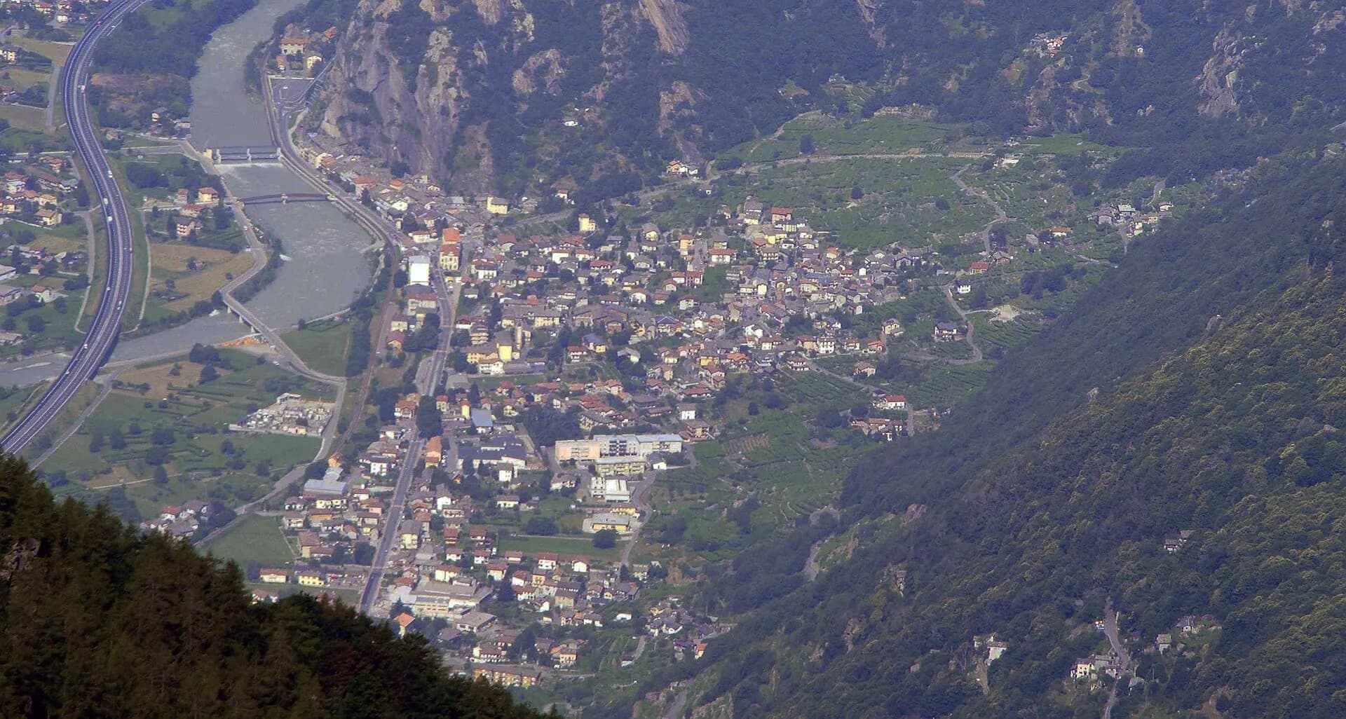
High Route 1 — Stage 1: Donnas → Perloz
The start of the High Route of the Giants, from the valley floor up to Perloz meadows through Walser villages and chestnut groves.
12.5 km+950 m5 h
Trails and culture
19 trails linked to Enfer d'Arvier — traditions and flavours along the route: difficulty E (Hiker), elevation gain 0–1150 m.
19 · 0.8–18.0 km · +0–1150 m
Bassa Valle
The start of the High Route of the Giants, from the valley floor up to Perloz meadows through Walser villages and chestnut groves.
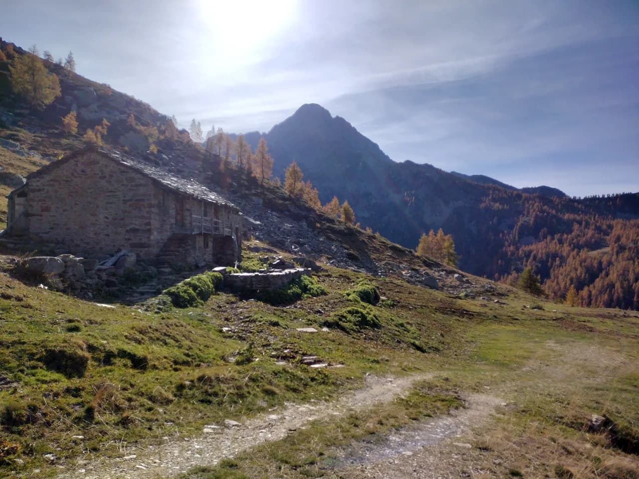
Bassa Valle — Mont Mars
From Perloz hill the trail climbs through Lillianes forest and into the Mont Mars Nature Reserve, where Rifugio Coda at 2280 m opens the view to the high valley.
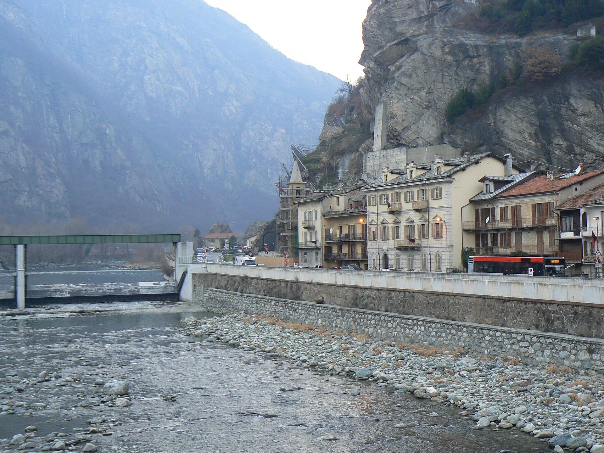
Bassa Valle
Final AV2 stage: from Retempio sanctuary to Donnas in the valley floor.
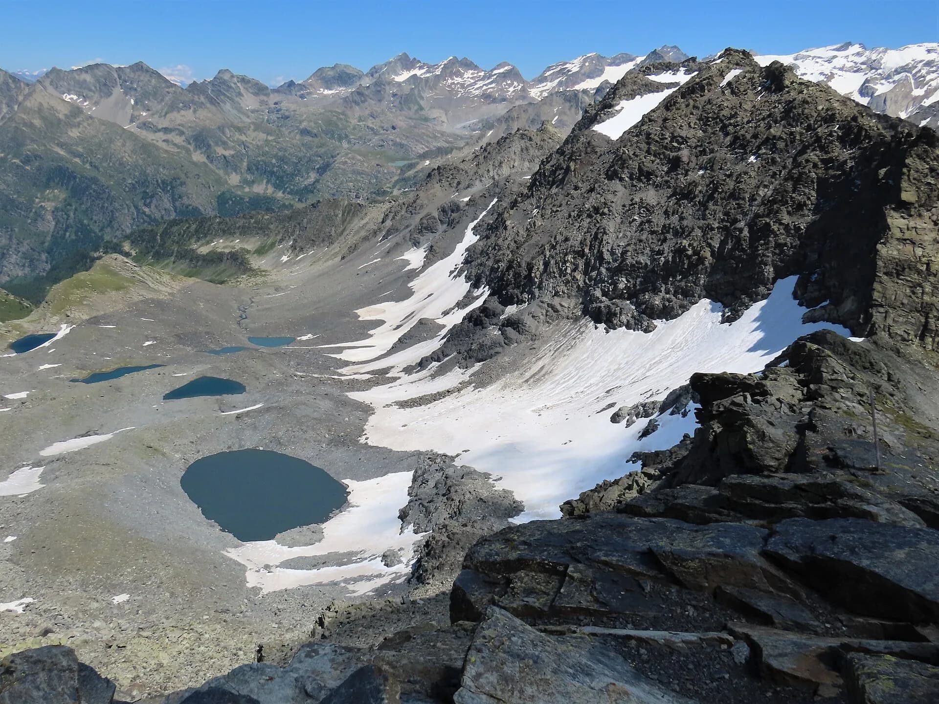
La Thuile
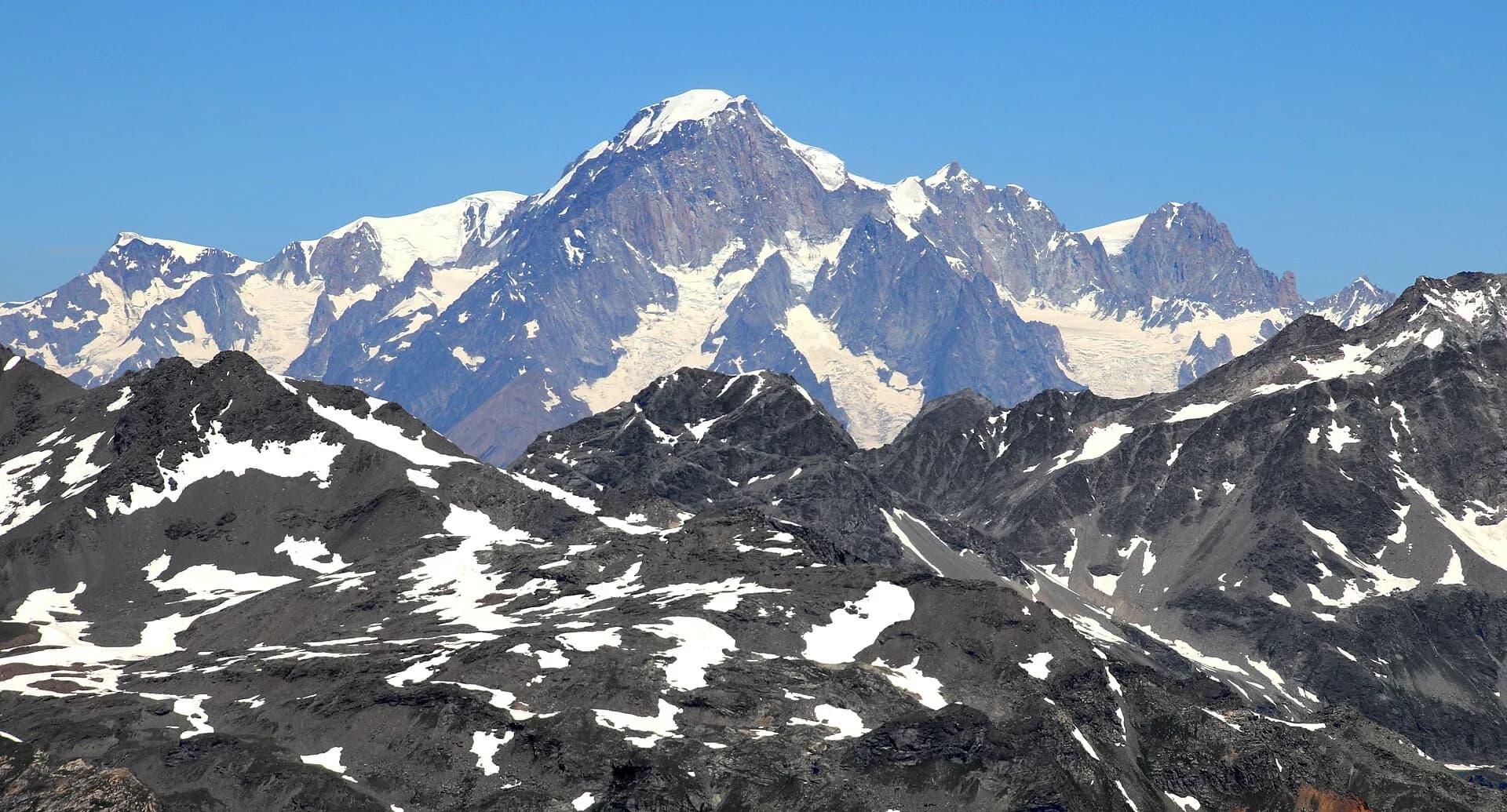
Cross Col de la Crosatie and descend toward Planaval in Valgrisenche.
Valgrisenche
Cross Valgrisenche to Rifugio Chalet de l'Épée.
Valgrisenche
In the Valgrisenche, commune of Arvier: an E-rated climb through forest and meadows toward a high-altitude pasture.
Valgrisenche
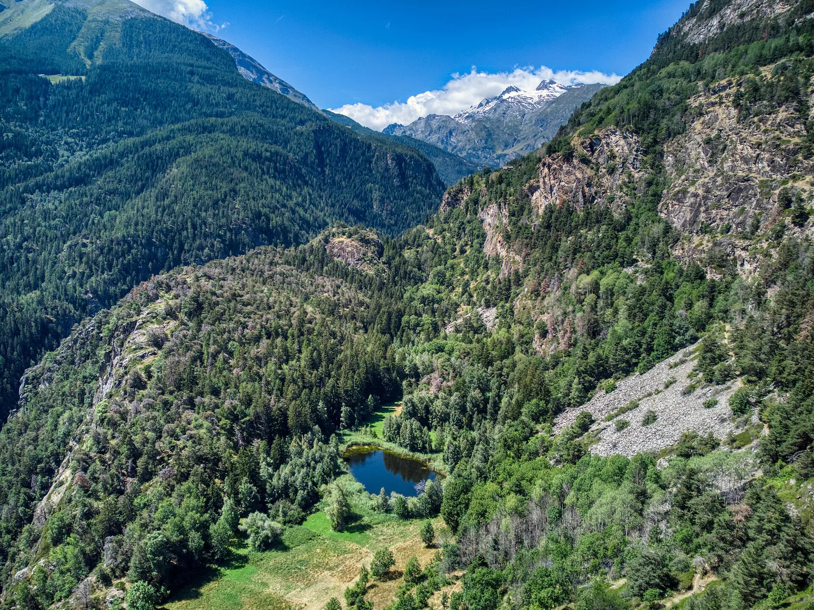
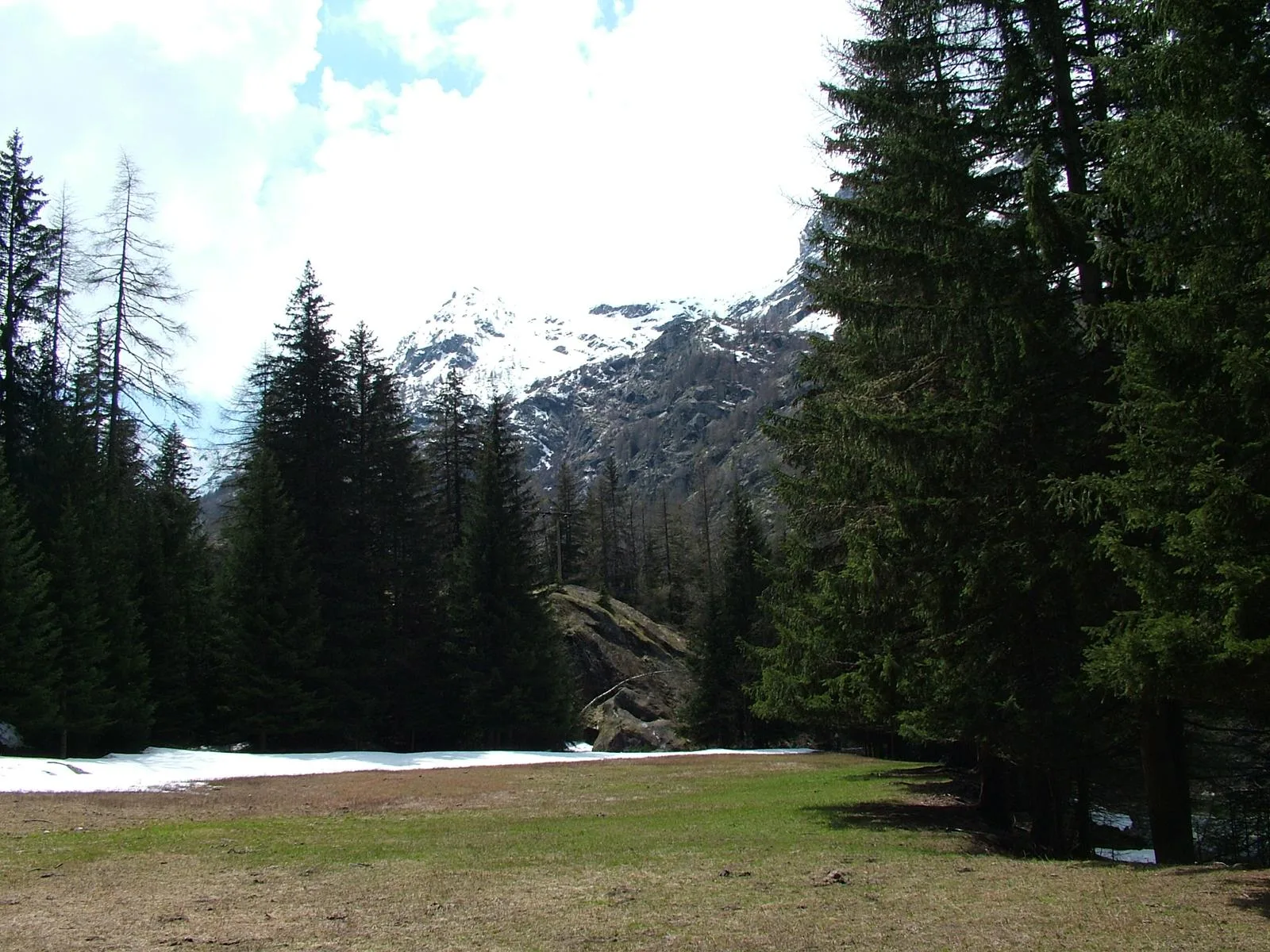
From Grand Haury the route climbs through forest and alpine meadow to the Alpe di Boregne pasture plateau at the foot of Becca Verconey in a quiet Valgrisenche side valley.
Valgrisenche
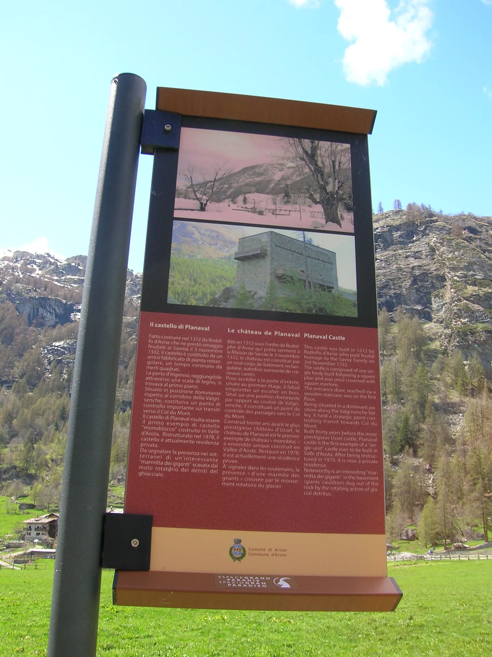
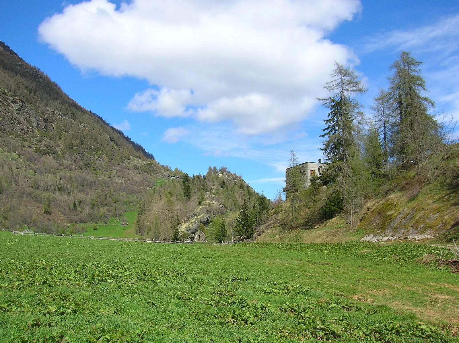
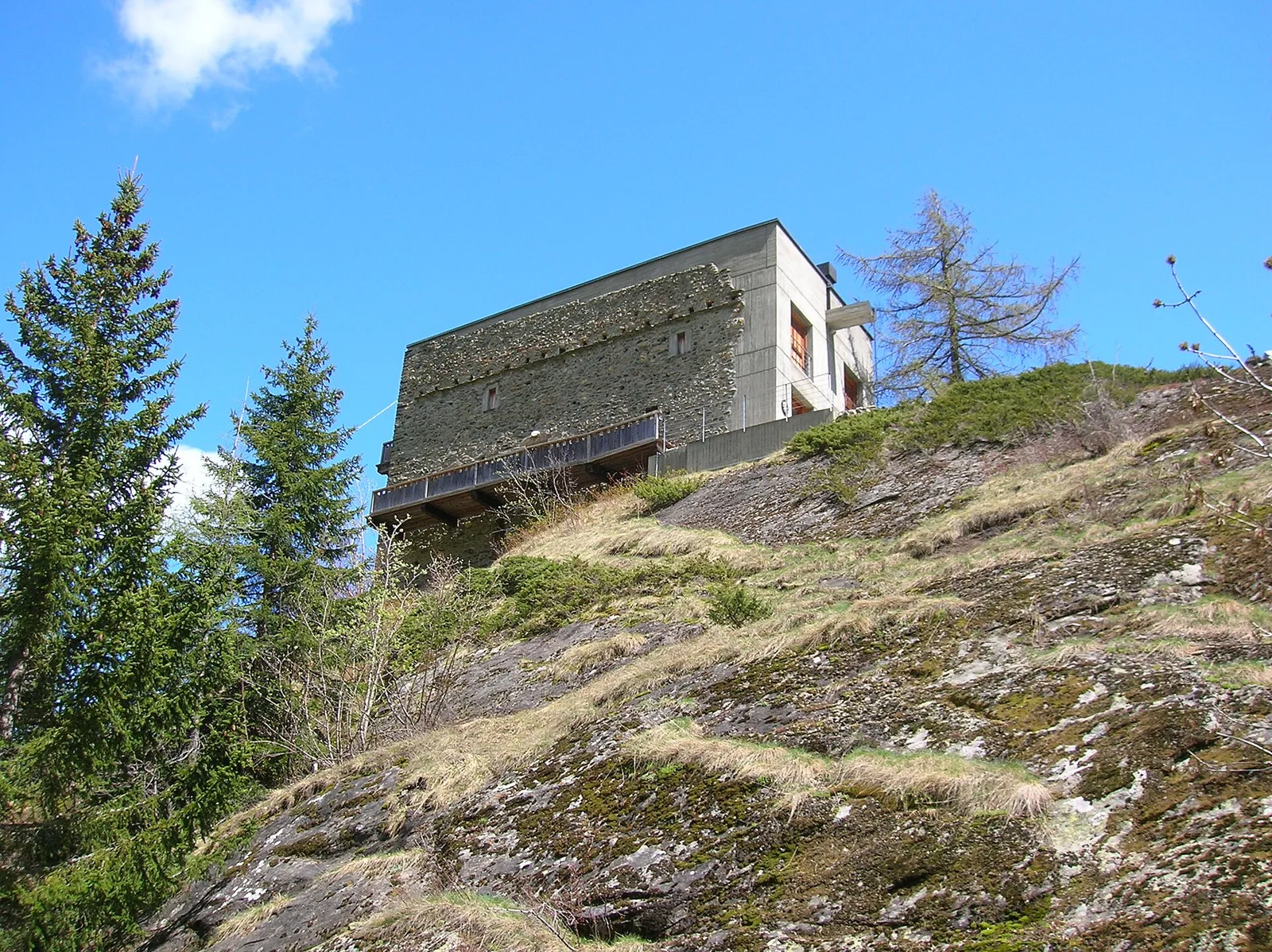
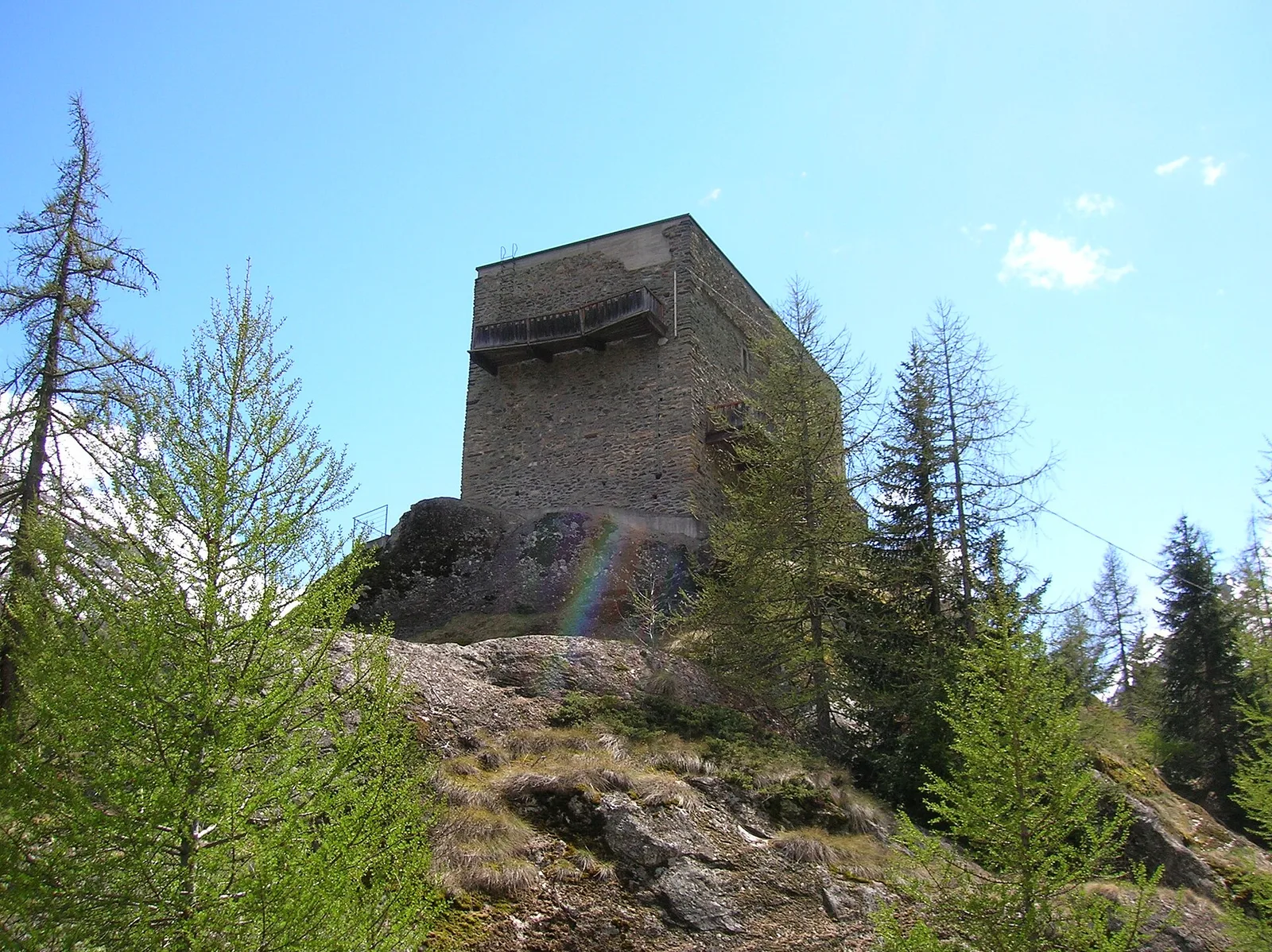
0.8 km · +0 m · E — from Grand Haury to Castello Montmayeur (Valgrisenche).

Valgrisenche
2 km · +207 m · E — from La Ravoire to Castello di Montmayeur (Valgrisenche).
Valgrisenche
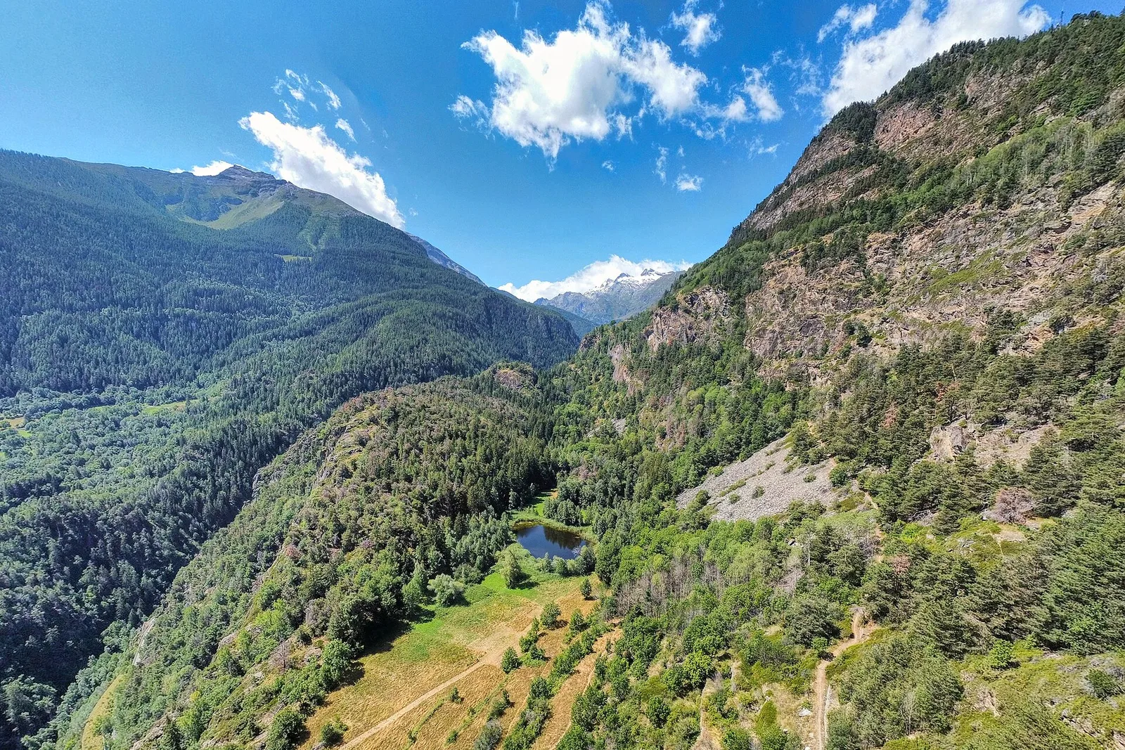
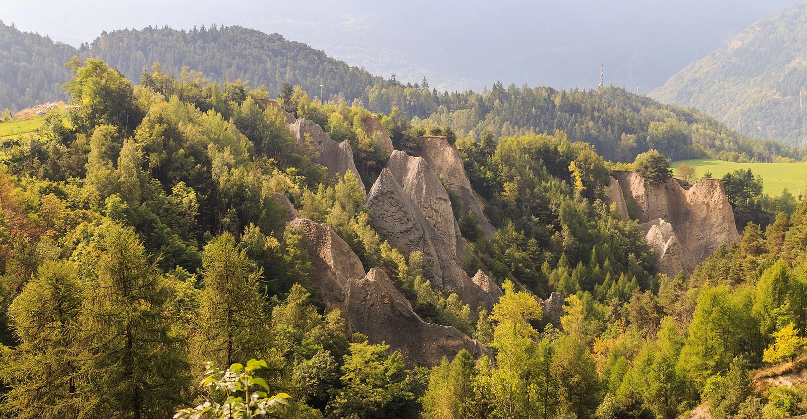
1.5 km · +245 m · E — from La Ravoire to Lolair (Valgrisenche).
Valgrisenche
In the Valgrisenche, Arvier: a steady E-rated climb through forest and meadows toward upper pastures.

Valgrisenche
In the Valgrisenche, Arvier: a significant E-rated climb through forest toward upper pastures.
Valgrisenche
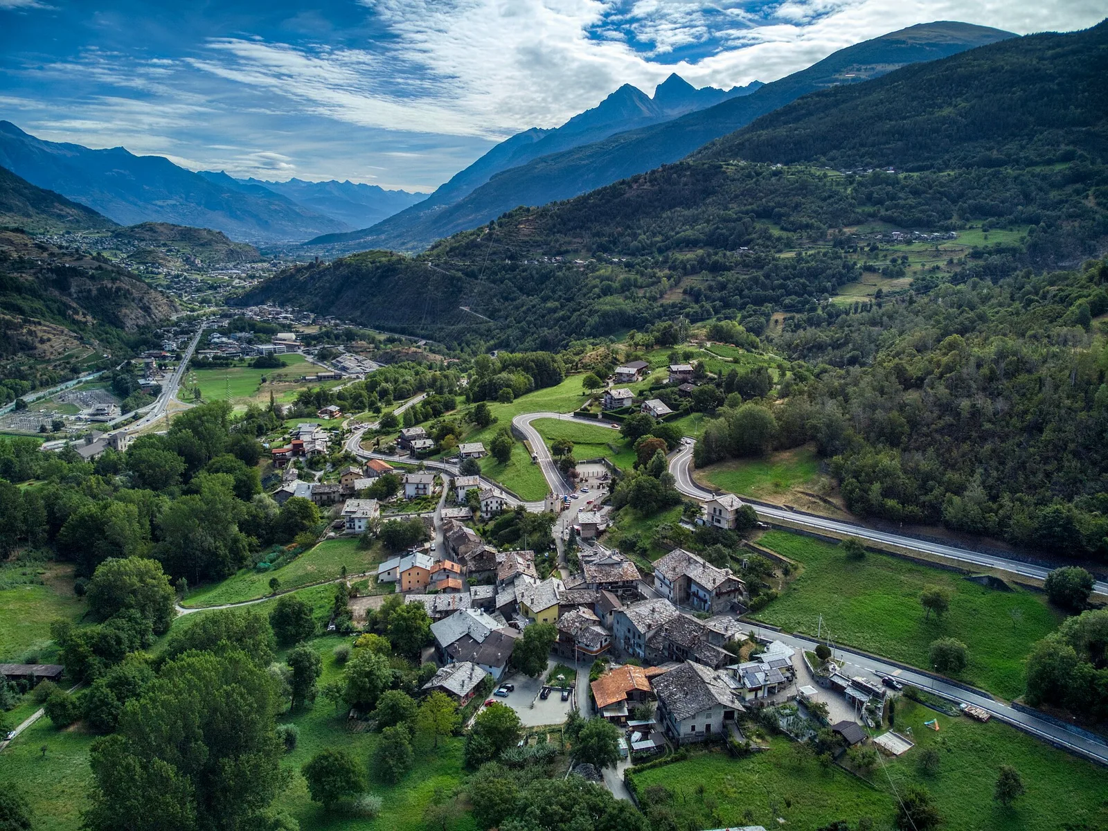
From the Valgrisenche valley floor at Leverogne (721 m) to the hilltop village of Saint-Nicolas (1,203 m): 3.4 km and 499 m of ascent.
Valgrisenche
In the Valgrisenche, Arvier: an accessible route from the lower valley toward upper hamlets through forest and vineyards.
Valgrisenche
In the Valgrisenche the route climbs through forest and meadows toward upper pastures: an E-rated itinerary in the commune of Arvier.
Valtournenche
3.1 km · +480 m · E — from Confine comunale Arvier, Revers to Borègne (Valtournenche).

Valdigne
2.4 km · +263 m · E — from Runaz to Rochefort (Valdigne).
Valle del Lys
16.4 km · +0 m · E — from Rifugio Deffeyes to Planaval (Lys Valley).
Valgrisenche
12.3 km · +998 m · E — from Planaval to Rifugio Chalet de l'Epée (Valgrisenche).