Matterhorn Tour — Stage 2: Rifugio Duca degli Abruzzi → Rifugio Oriondé

8 km
+200 m
−550 m
4 h
Fitness level
~790 kcal estimated
Elevation profile
Map & route
Download GPXGPX track — verify on the ground before hiking
Description
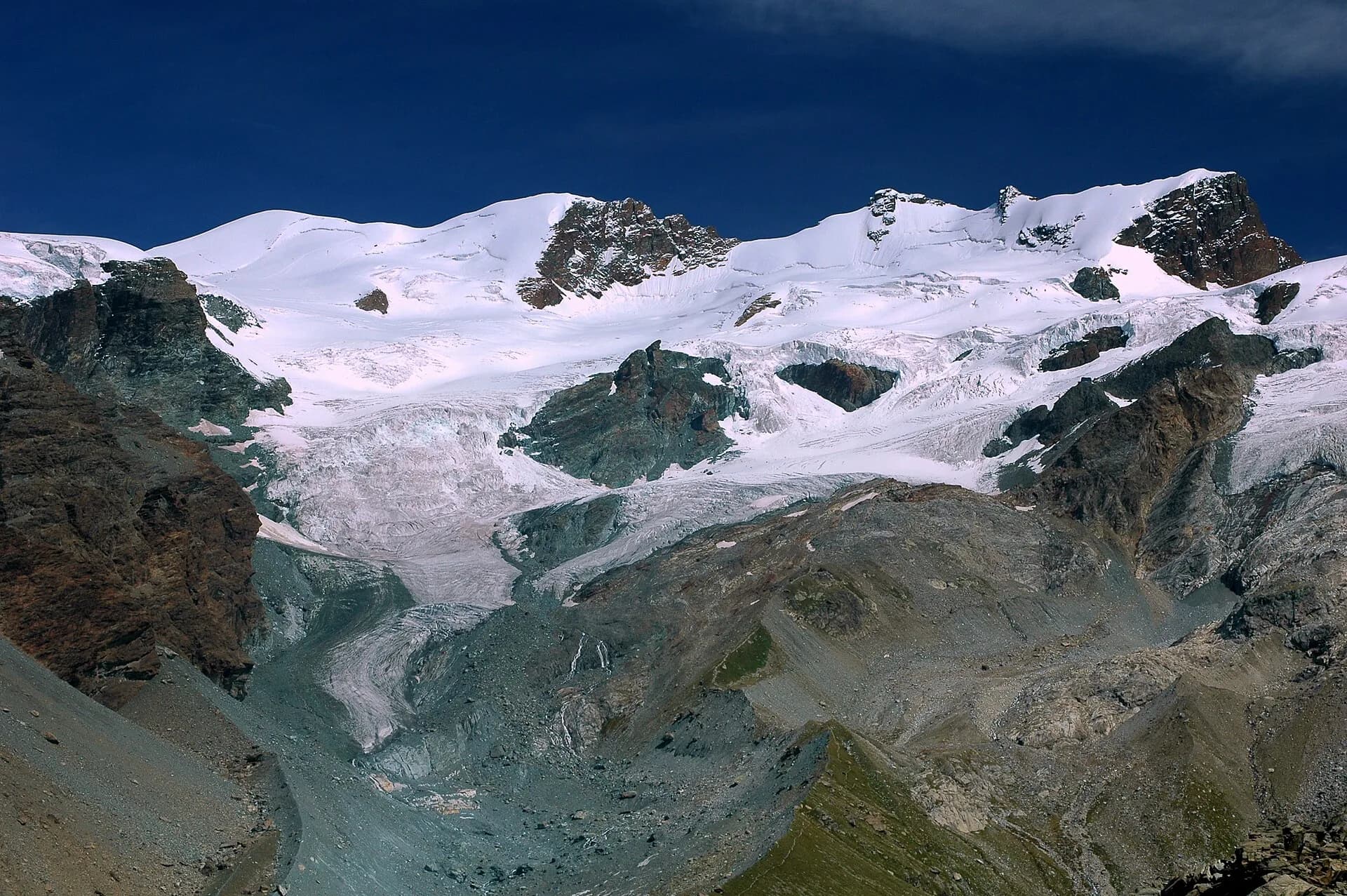
Partial descent toward Rifugio Oriondé, base to observe Plateau Rosa glacier and the Matterhorn head-on.
Key points
Rifugio Oriondé
2475 m · 8 km from start
Earth sciences
Geology & landscape
Italian flank of the Matterhorn: metamorphic and igneous rocks of the massif, moraines and periglacial environments above Breuil-Cervinia.
Water sources
Lifts and huts in Cervinia; limited springs above 2500 m.
Getting there
VITA buses and connections from Aosta; check seasonal timetables at vita.it.
Parking
Parcheggi comunali nei paesi di valle; verificare limitazioni in alta stagione.
Warnings
- Check weather and residual snow early season
- Book huts in peak season
Nearby peaks
Start & end
Start
Rifugio Duca degli Abruzzi
2812 m
Finish
Rifugio Oriondé
2475 m
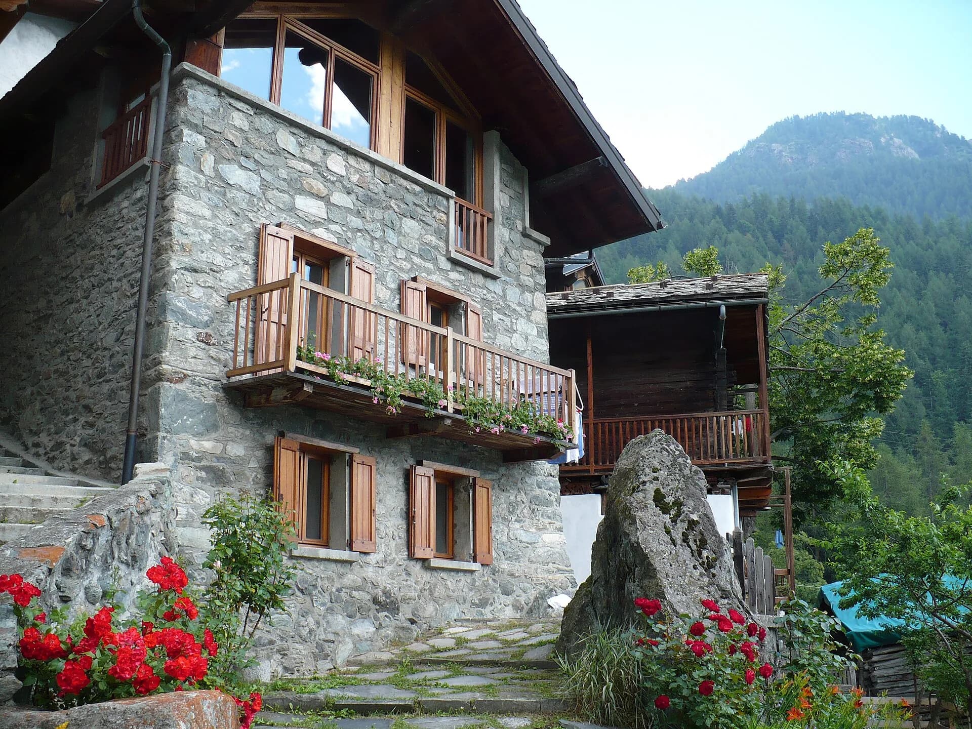
Refuges & bivouacs
Photo gallery
Flora along the trail
Adjacent stages
ACurated and verified by Andrea
Data source: Catasto Sentieri Regione Autonoma VdA · Open data — DGR 899/2014
Last verified:
Valtournenche
Related trails
Same valley or similar routes — more hikes to explore.
Valtournenche
Monte Rosa Tour — Stage 3: Valtournenche → Breuil-Cervinia
Connection in the Matterhorn valley toward Breuil-Cervinia.

Valtournenche — Val Saint-Barthélemy
High Route 1 — Stage 10: Rifugio Jean Barmasse → Rifugio Oratorio di Cuney
The wild heart of the Alta Via: 17 km across Fenêtre de Tsan, Col Terray and on to Rifugio Oratorio di Cuney, with Matterhorn and Grand Combin dominating a horizon of 2700-metre passes.
Valtournenche
High Route 1 — Stage 8: Rifugio Grand Tournalin → Valtournenche
The great descent: from Rifugio Grand Tournalin losing over a thousand metres to the valley floor of Valtournenche, passing through the scenic plateau of Cheneil with Matterhorn views.

Valtournenche
High Route 1 — Stage 9: Valtournenche → Rifugio Jean Barmasse
The shortest stage on the entire AV1: 4.7 km of sustained climbing from Valtournenche to Rifugio Jean Barmasse on the shores of Lago di Cignana, in preparation for the hardest day ahead.