Gran Paradiso Tour — Stage 4: Eaux-Rousses → Rifugio Vittorio Sella
16 km
+1644 m
−739 m
7 h
Fitness level
~1864 kcal estimated
Elevation profile
Map & route
Download GPXGPX track — verify on the ground before hiking
Description
Demanding stage crossing Col du Loson (3296 m), alpine heart of the Gran Paradiso tour in VdA.
Key points
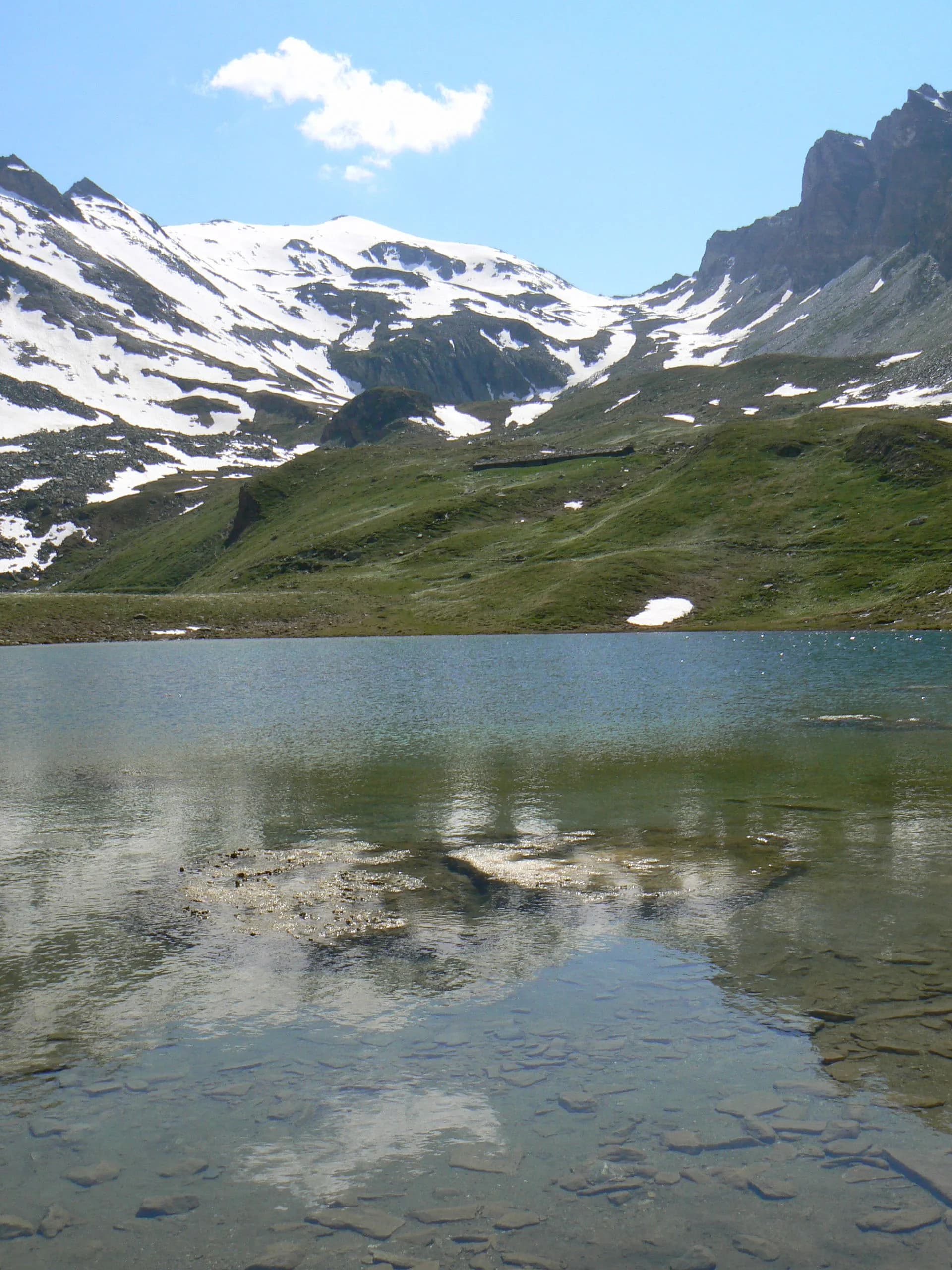
Col du Loson
3296 m · 10 km from start
Earth sciences
Geology & landscape
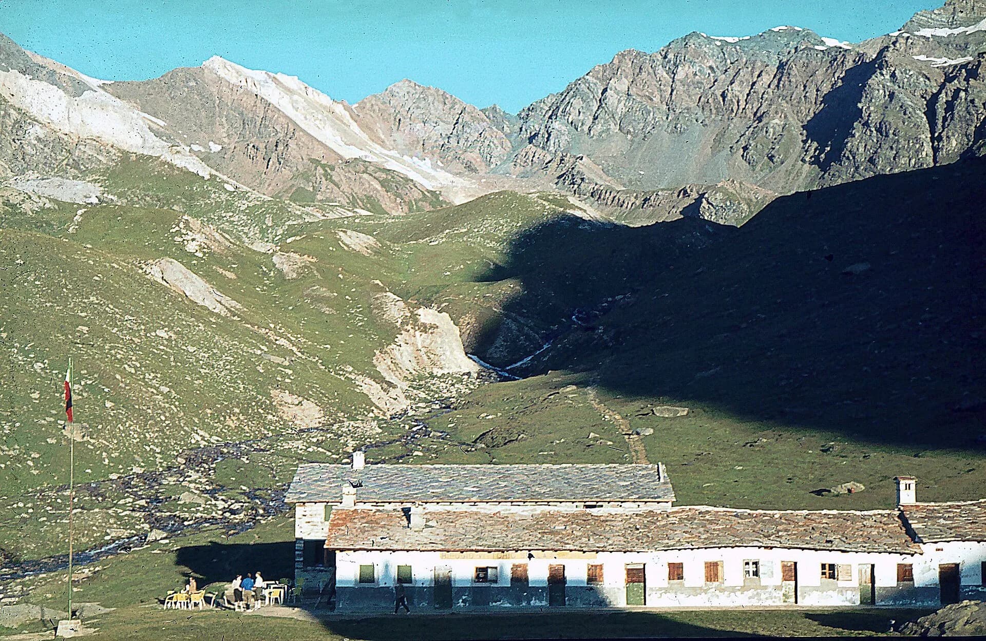
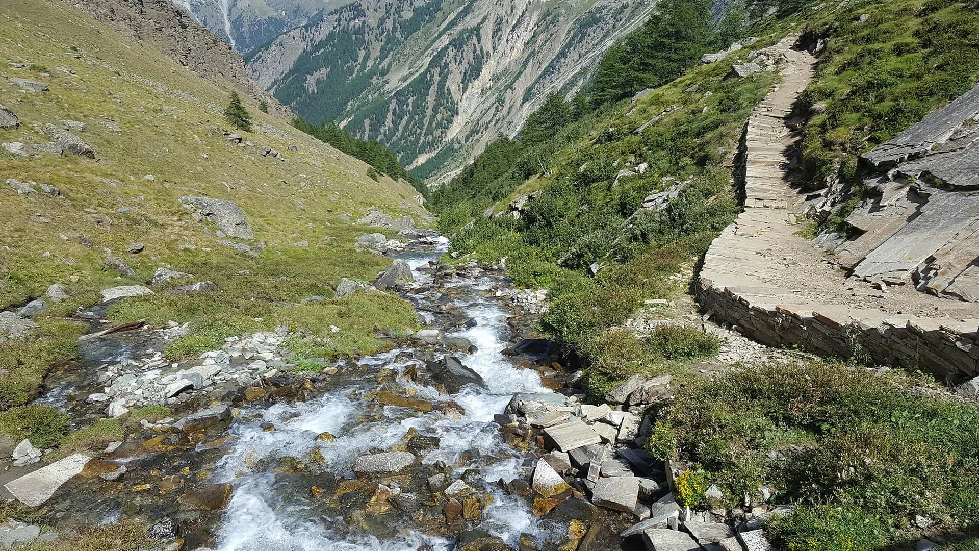
Heart of Gran Paradiso National Park: basement granites and gneiss, glacial cirques and U-shaped valleys. Col du Loson (3296 m) is the highest point on the VdA High Routes.
Water sources
Eaux-Rousses and huts along the stage; few points above 2800 m.
Getting there
VITA buses and connections from Aosta; check seasonal timetables at vita.it.
Parking
Parcheggi comunali nei paesi di valle; verificare limitazioni in alta stagione.
Warnings
- Snow possible on Loson early season
Nearby peaks
Start & end
Start
Eaux-Rousses
1676 m
Finish
Rifugio Vittorio Sella
2584 m
Refuges & bivouacs
Photo gallery
Flora along the trail
Adjacent stages
ACurated and verified by Andrea
Data source: Catasto Sentieri Regione Autonoma VdA · Open data — DGR 899/2014
Last verified:
Valsavarenche
Related trails
Same valley or similar routes — more hikes to explore.
Valsavarenche
Gran Paradiso Tour — Stage 2: Valnontey → Lago Djouan
Climb to Lake Djouan, jewel of Gran Paradiso National Park.
Valsavarenche
High Route 2 — Stage 8: Eaux-Rousses → Rifugio Vittorio Sella
Highest stage on VdA High Routes: Col du Loson (3296 m) and Rifugio Vittorio Sella.

Valsavarenche
Area Pic Nic Champlong - Becca d'Aver e Cima Longhede
6.4 km · +913 m · E — from Area Pic Nic Champlong to Cima Longhede (Valsavarenche).
Valsavarenche
Biel - La Serra di Biel - Le Grand Chateau
3.9 km · +549 m · E — from Biel to Serra di Biel (Valsavarenche).