Gran Paradiso Tour — Stage 5: Rifugio Vittorio Sella → Cogne
8 km
+0 m
−1045 m
2.5 h
Fitness level
~680 kcal estimated
Elevation profile
Map & route
Download GPXGPX track — verify on the ground before hiking
Description
Final descent to Cogne centre, closing the VdA loop of the Gran Paradiso Tour.
Key points
Valnontey
1666 m · 5 km from start
Earth sciences
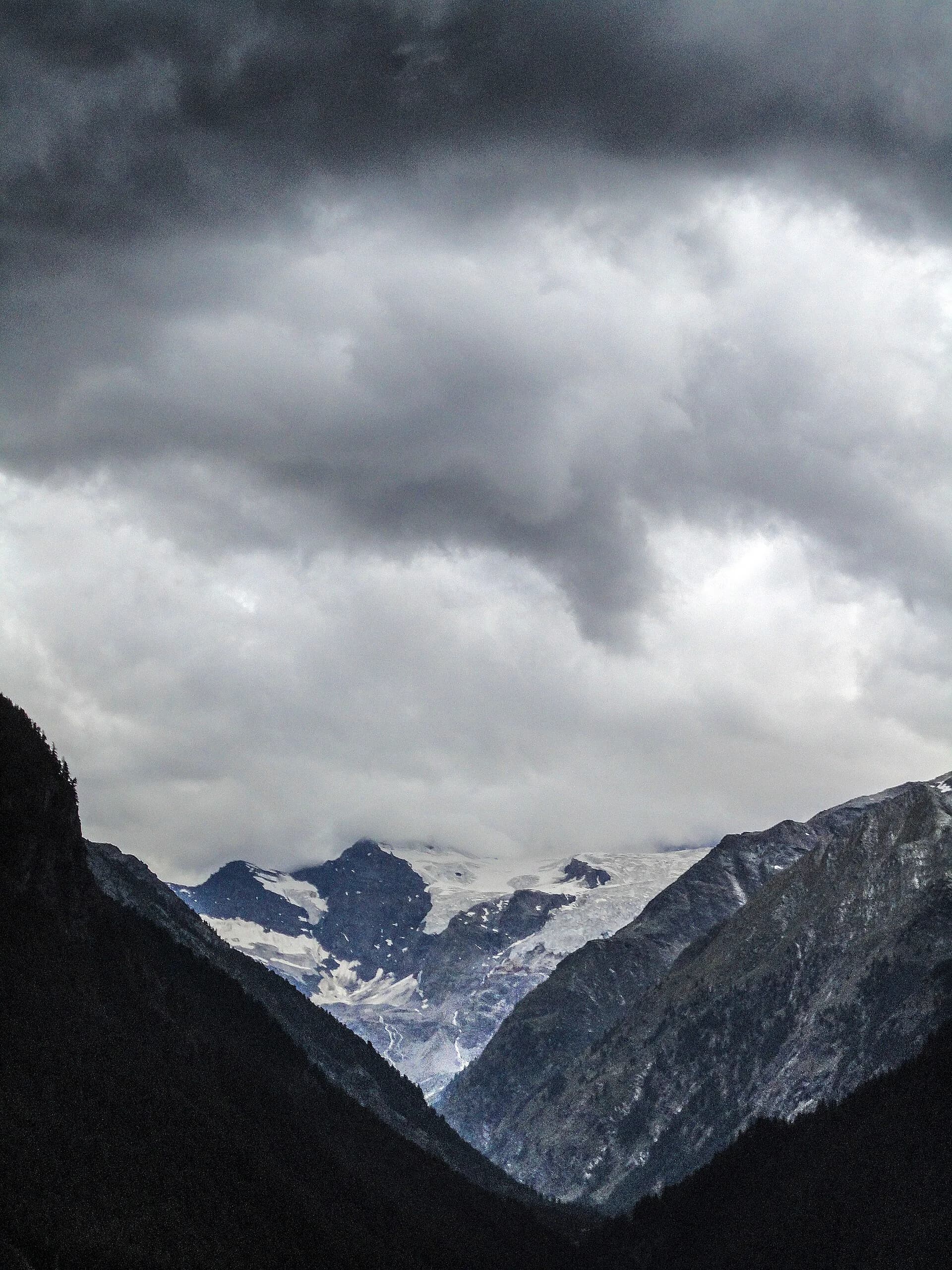
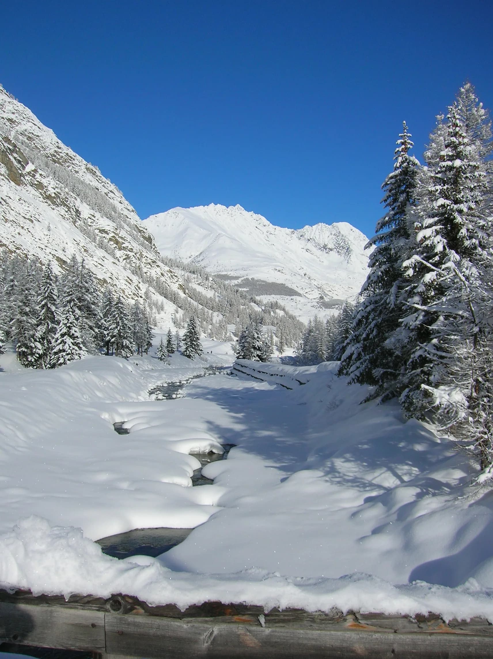
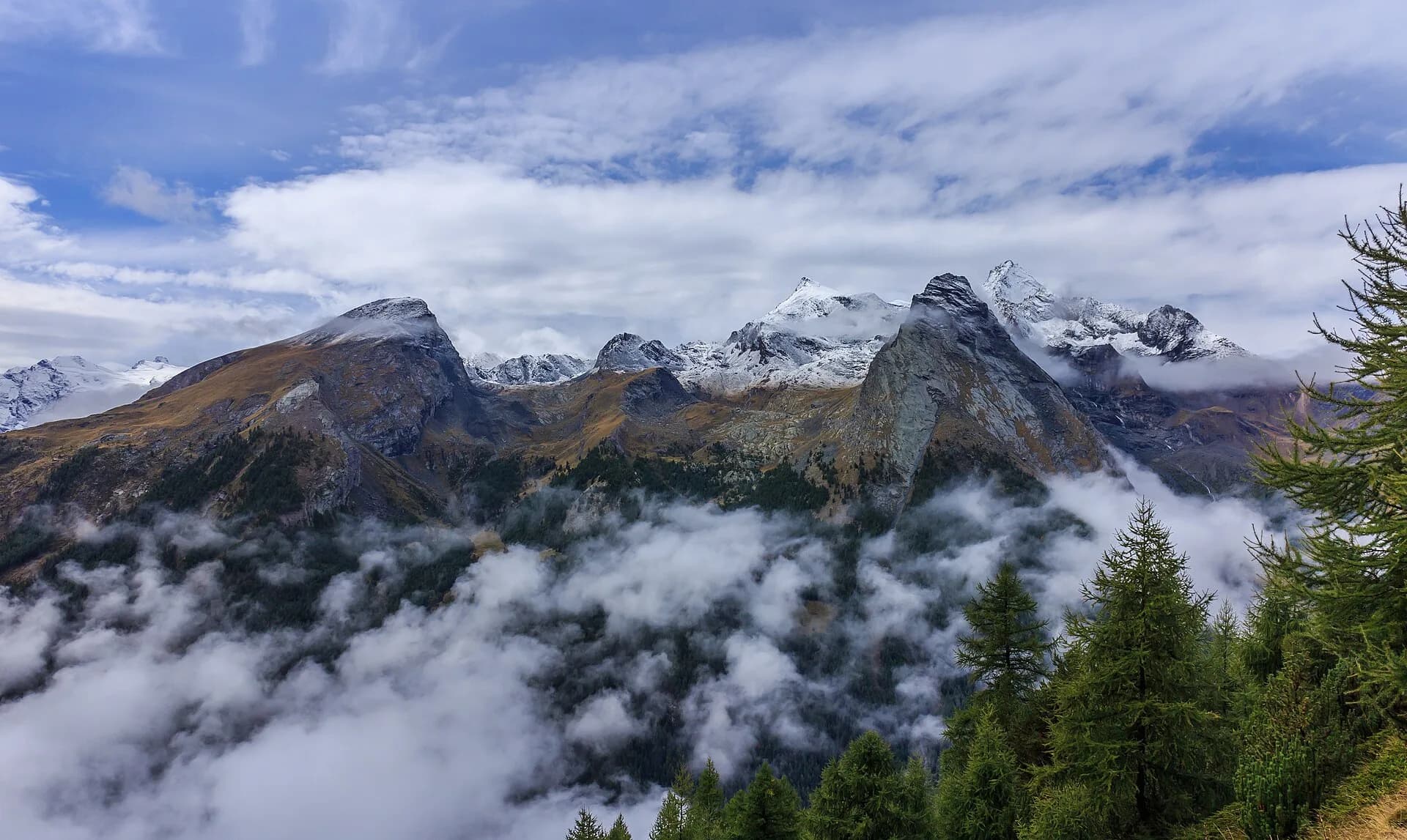
Geology & landscape
Glacial valley with moraines and fluvioglacial deposits; gneiss and calcschist outcrops. Paradisia botanic garden documents alpine flora on varied substrates.
Water sources
Many fountains in Cogne and Valnontey; managed huts at altitude.
Getting there
VITA buses and connections from Aosta; check seasonal timetables at vita.it.
Parking
Parcheggi comunali nei paesi di valle; verificare limitazioni in alta stagione.
Warnings
- Check weather and residual snow early season
- Book huts in peak season
Nearby peaks
Start & end
Start
Rifugio Vittorio Sella
2584 m
Finish
Cogne
1543 m
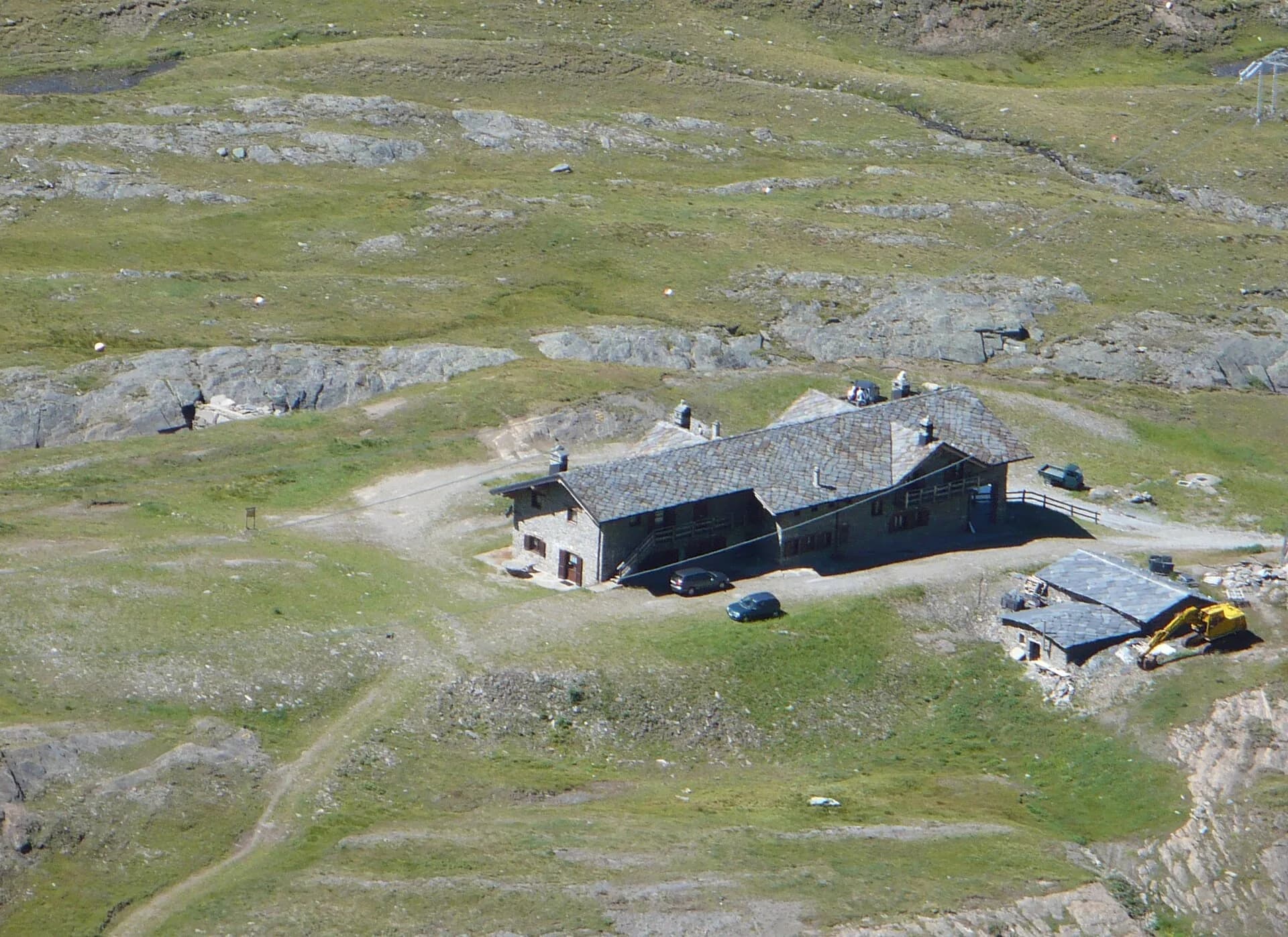
Refuges & bivouacs
Photo gallery
Flora along the trail
Adjacent stages
ACurated and verified by Andrea
Data source: Catasto Sentieri Regione Autonoma VdA · Open data — DGR 899/2014
Last verified:
Val di Cogne
Related trails
Same valley or similar routes — more hikes to explore.
Val di Cogne
Gran Paradiso Tour — Stage 1: Cogne → Valnontey
Approach in the heart of the Park: Cogne to Valnontey.
Val di Cogne
High Route 2 — Stage 10: Cogne → Rifugio Sogno di Berdzé
Climb from Cogne centre to Rifugio Sogno di Berdzé at Péradzà.
Val di Cogne
High Route 2 — Stage 9: Rifugio Vittorio Sella → Cogne
Scenic descent from Vittorio Sella to Cogne via Valnontey.
Val di Cogne
Aymavilles - Torlin
4 km · +848 m · E — from Aymavilles to Torlin (Cogne Valley).