E
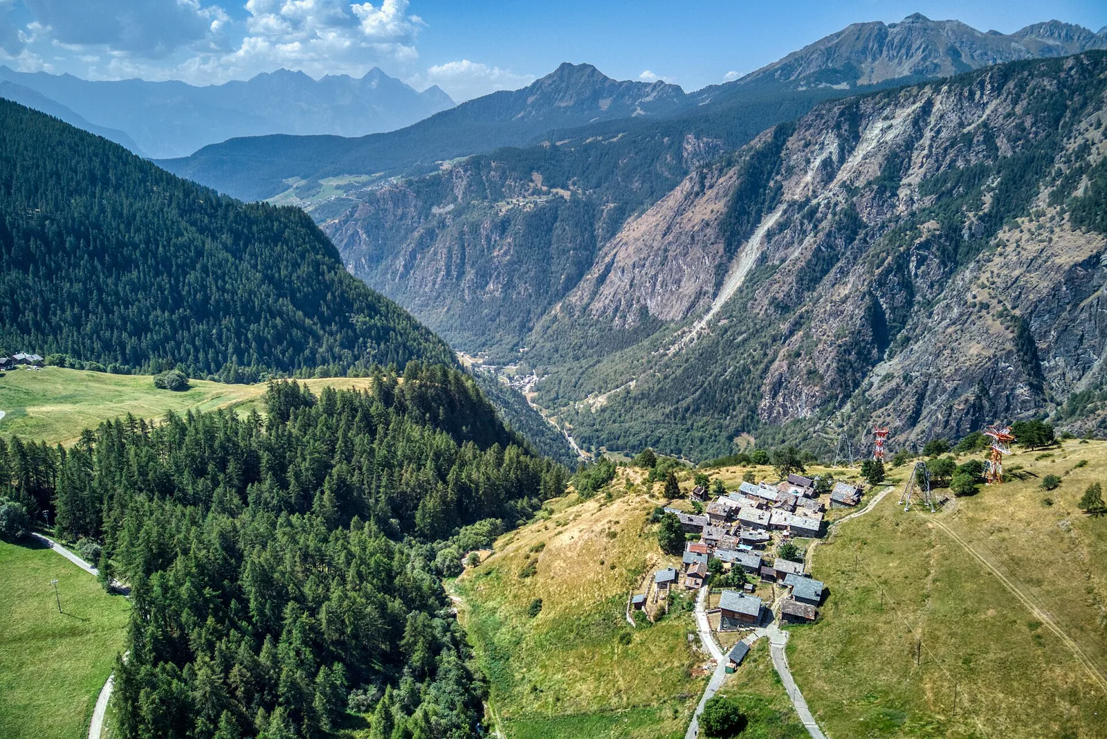
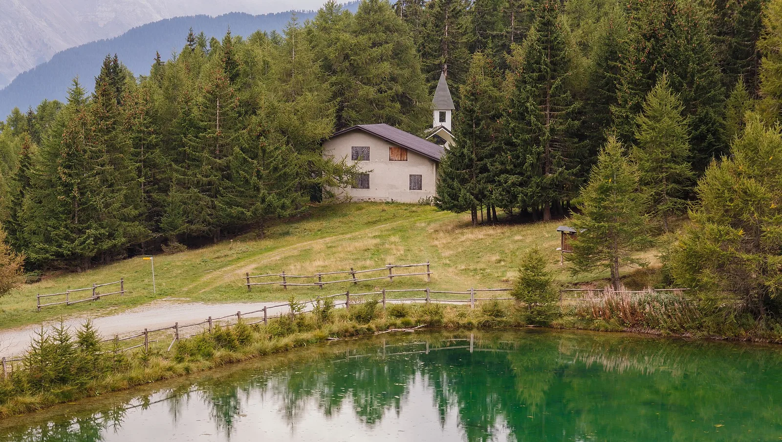
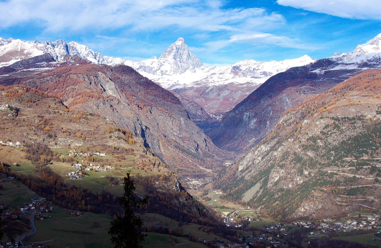
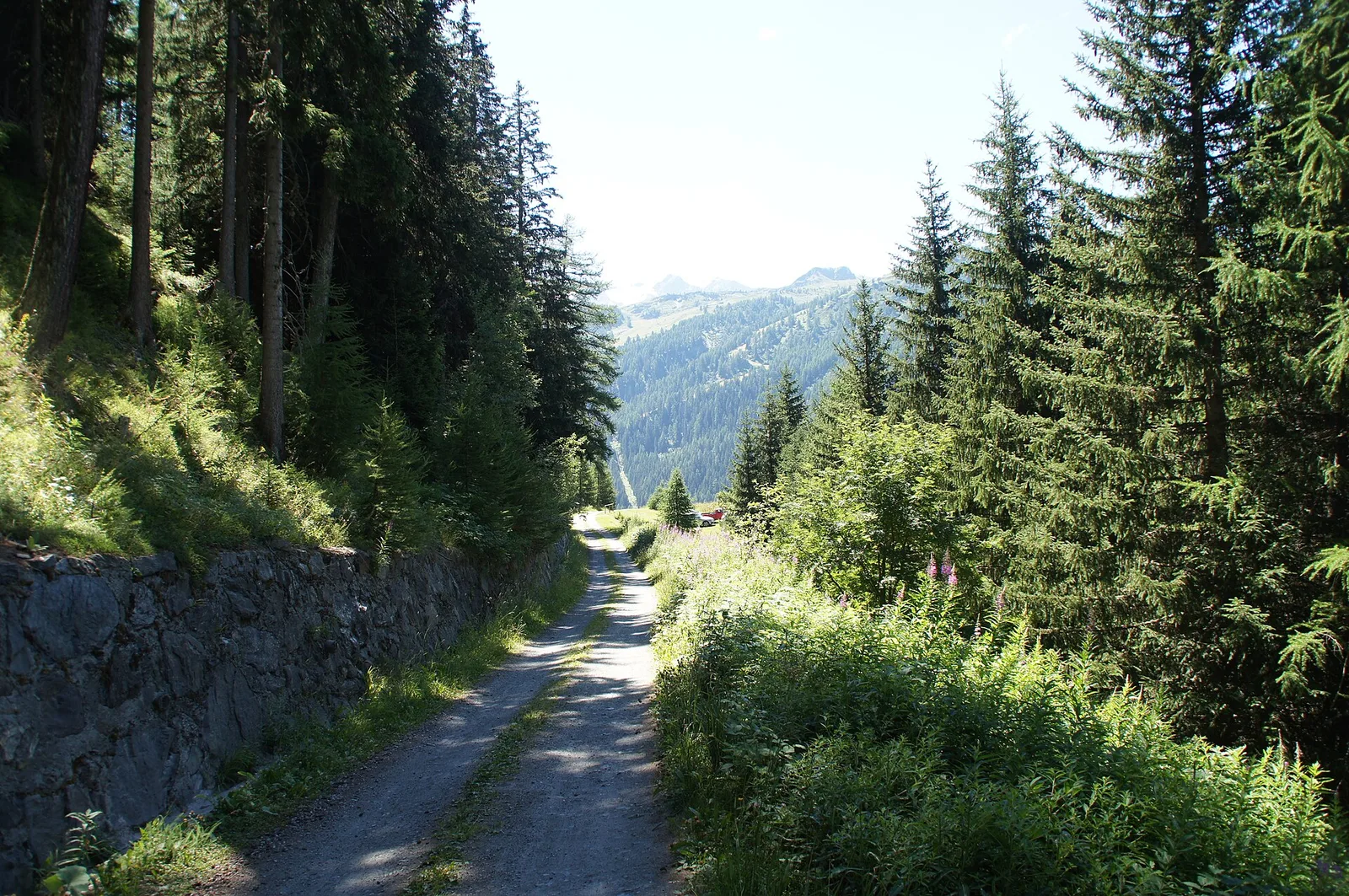
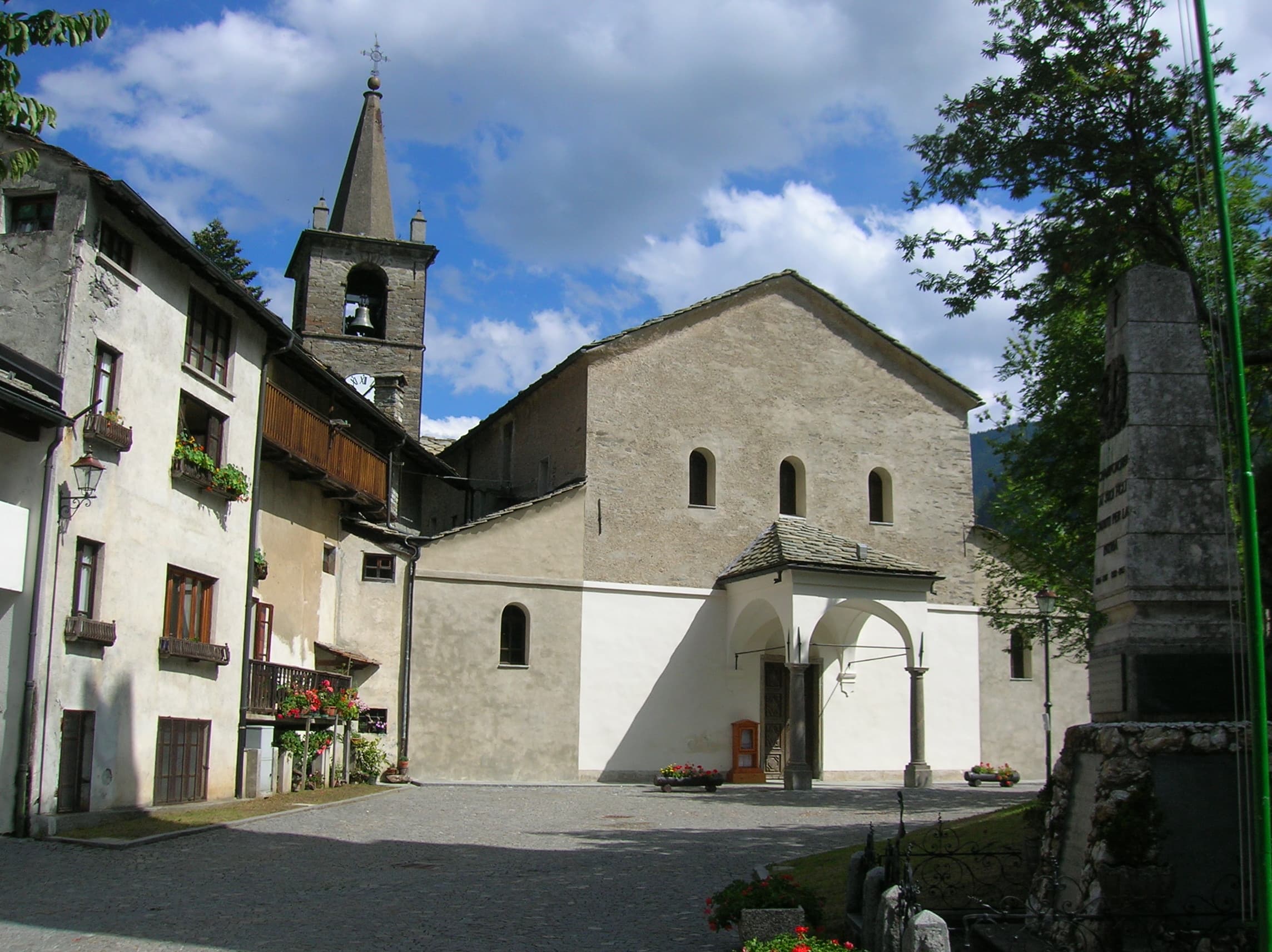
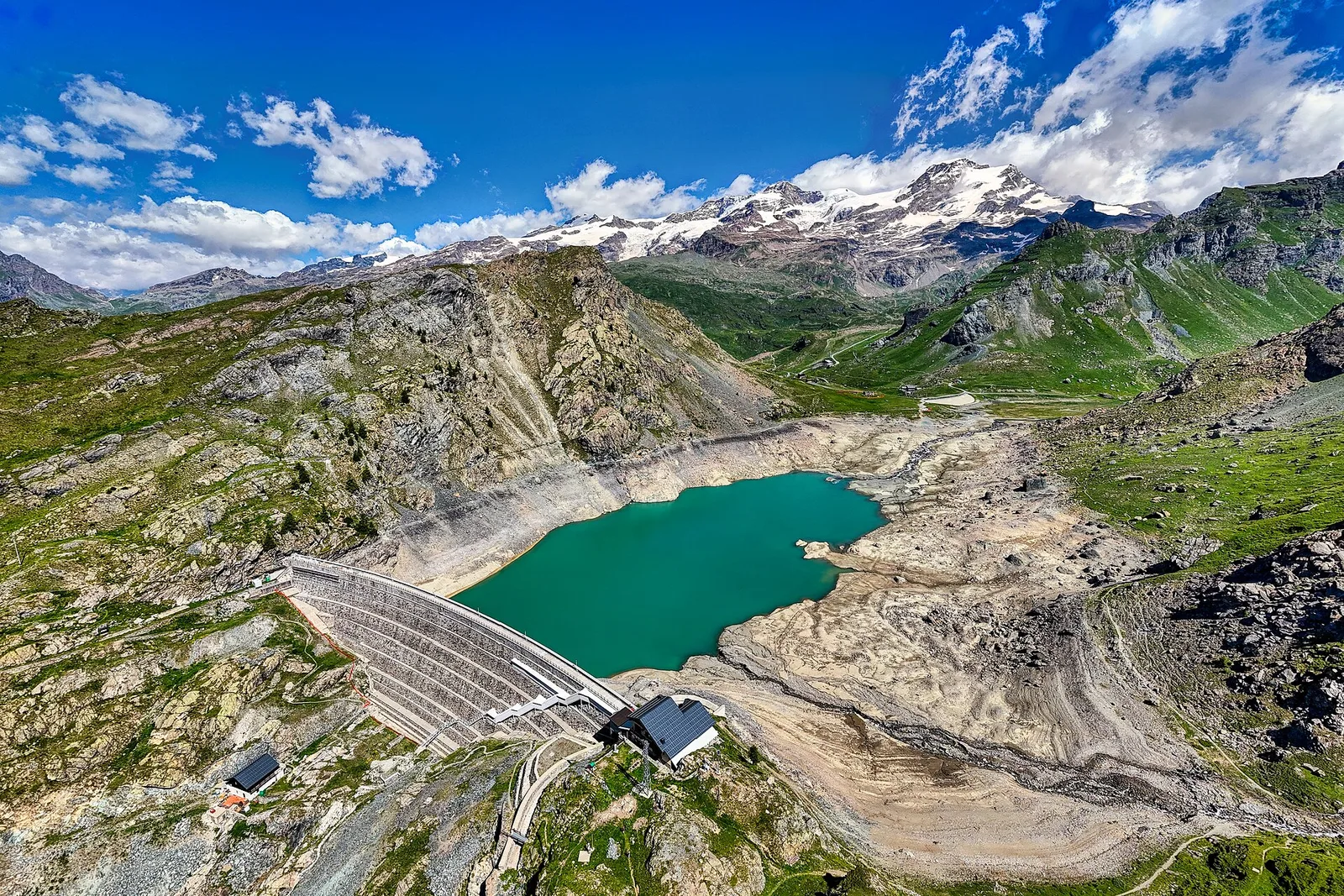
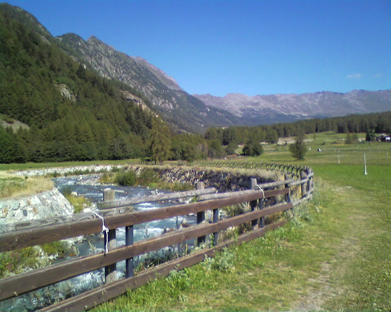
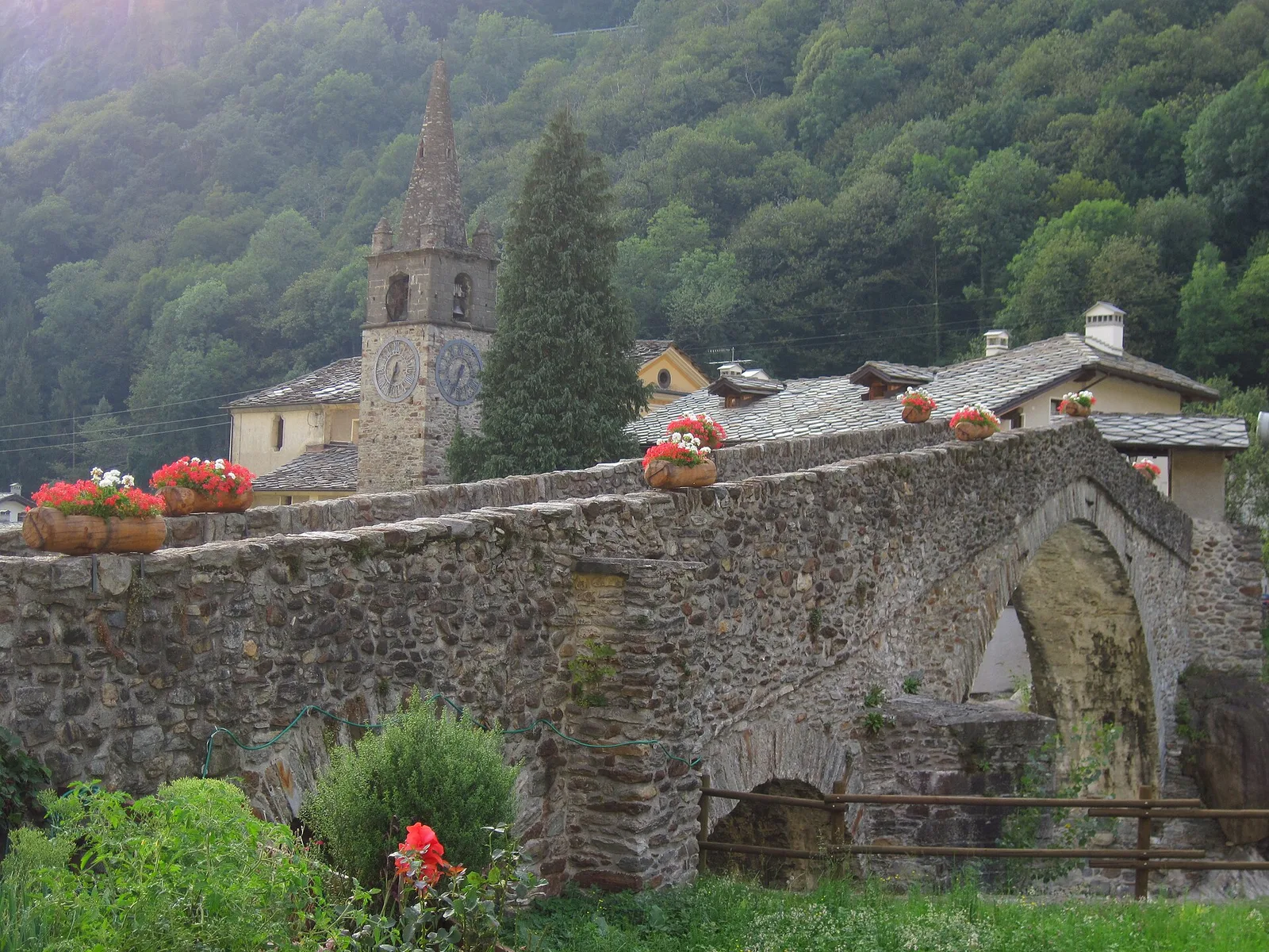
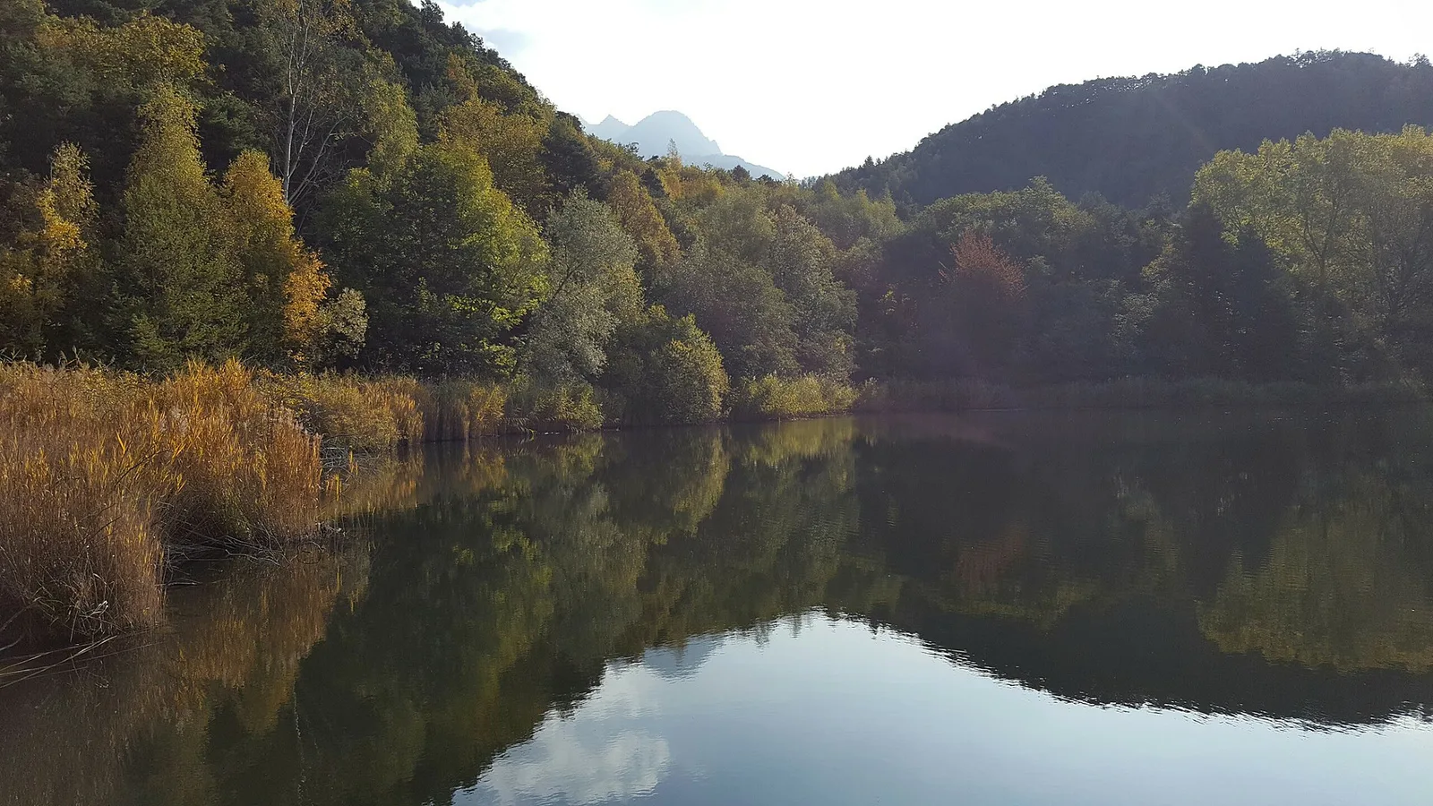
Val d'Ayas
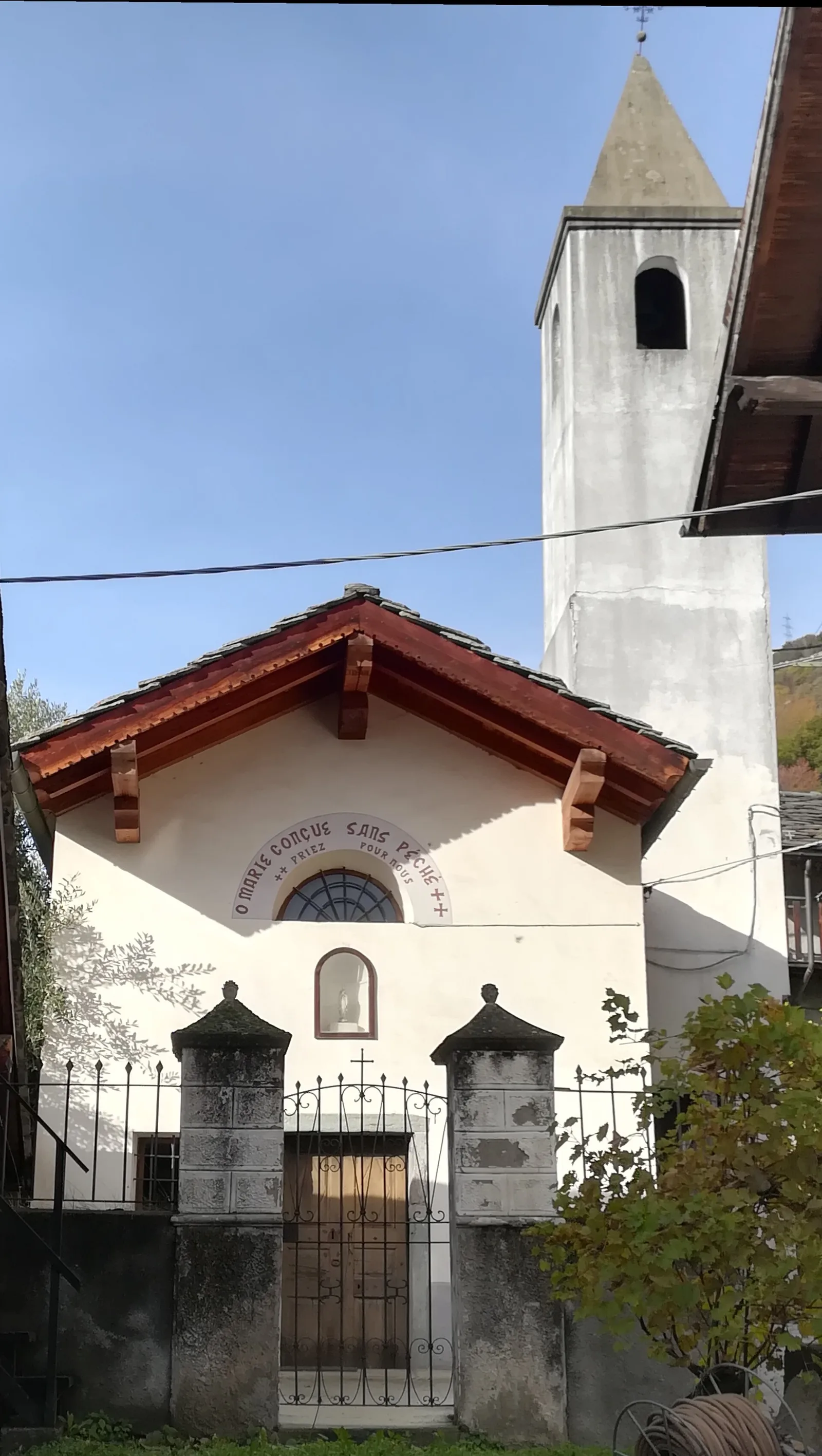
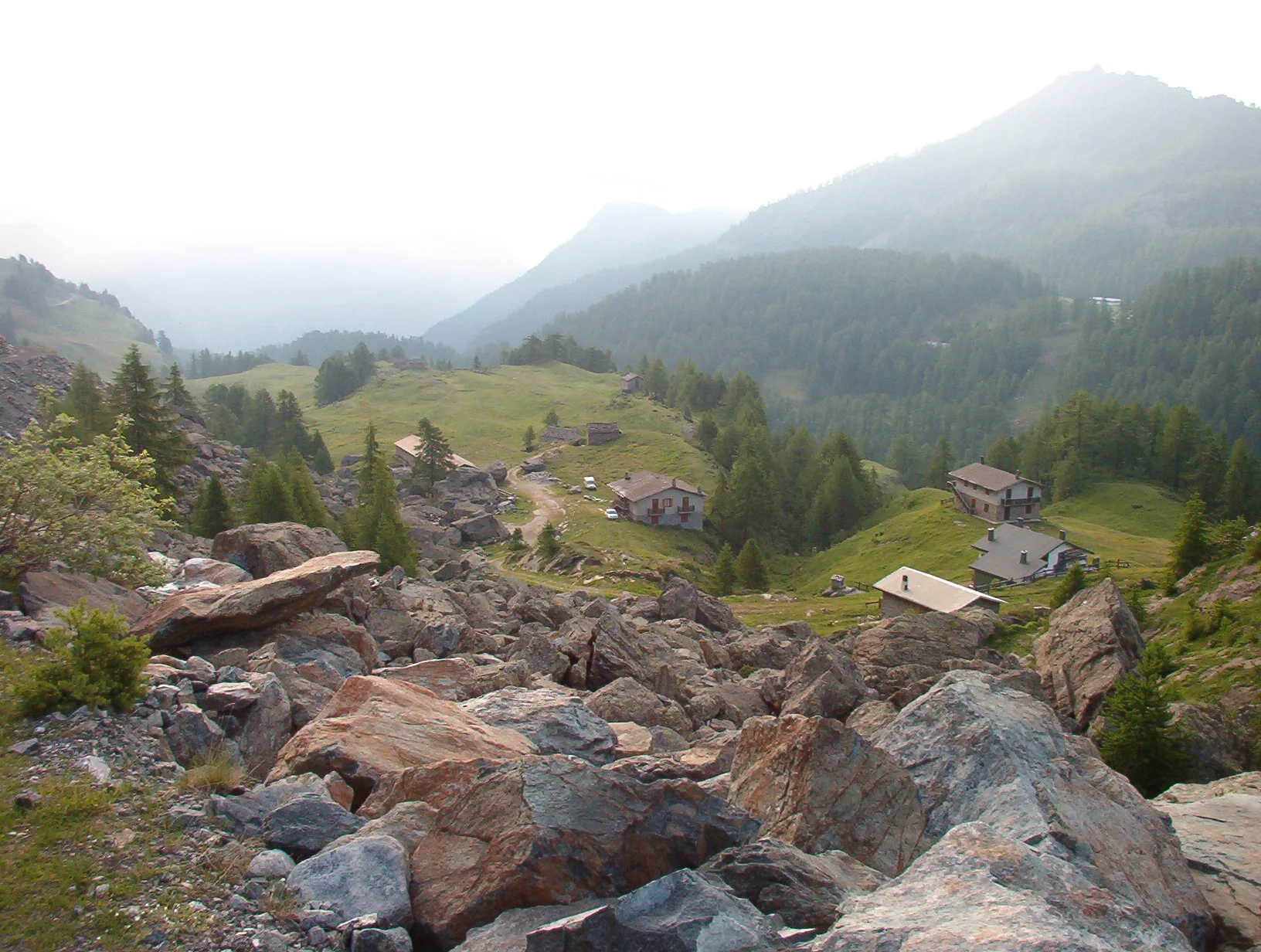
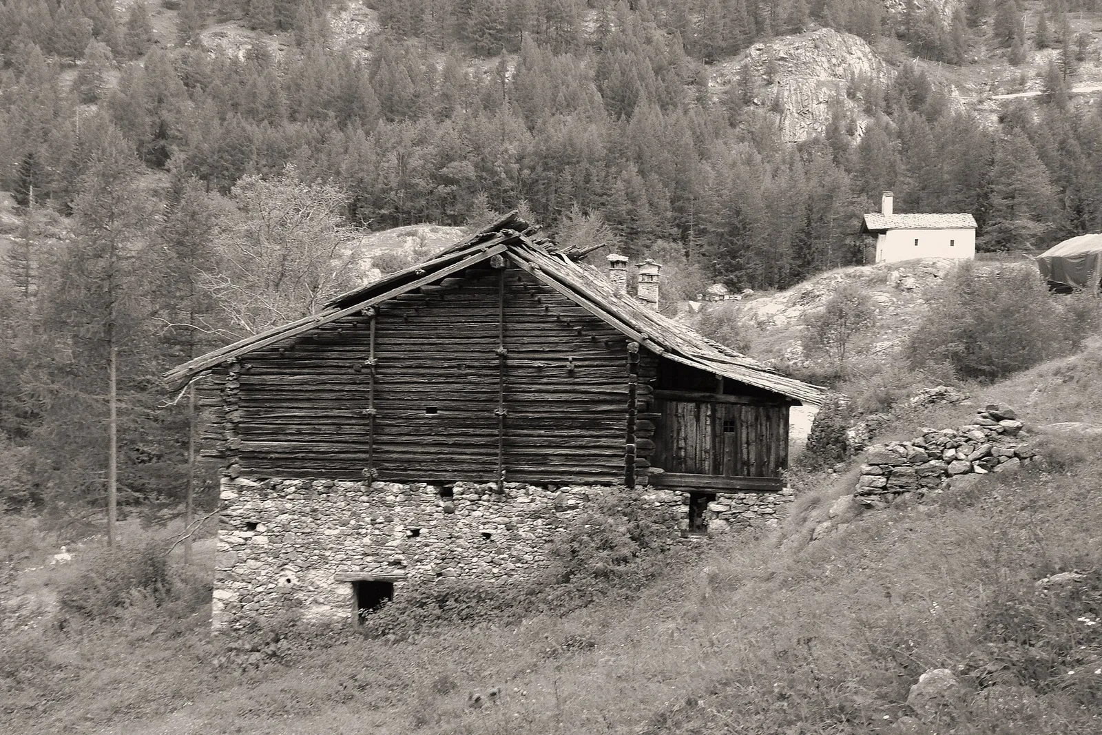
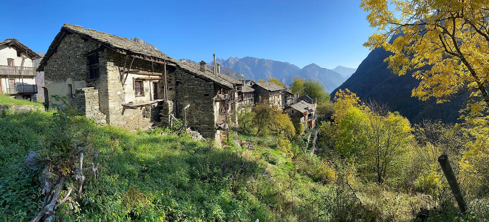
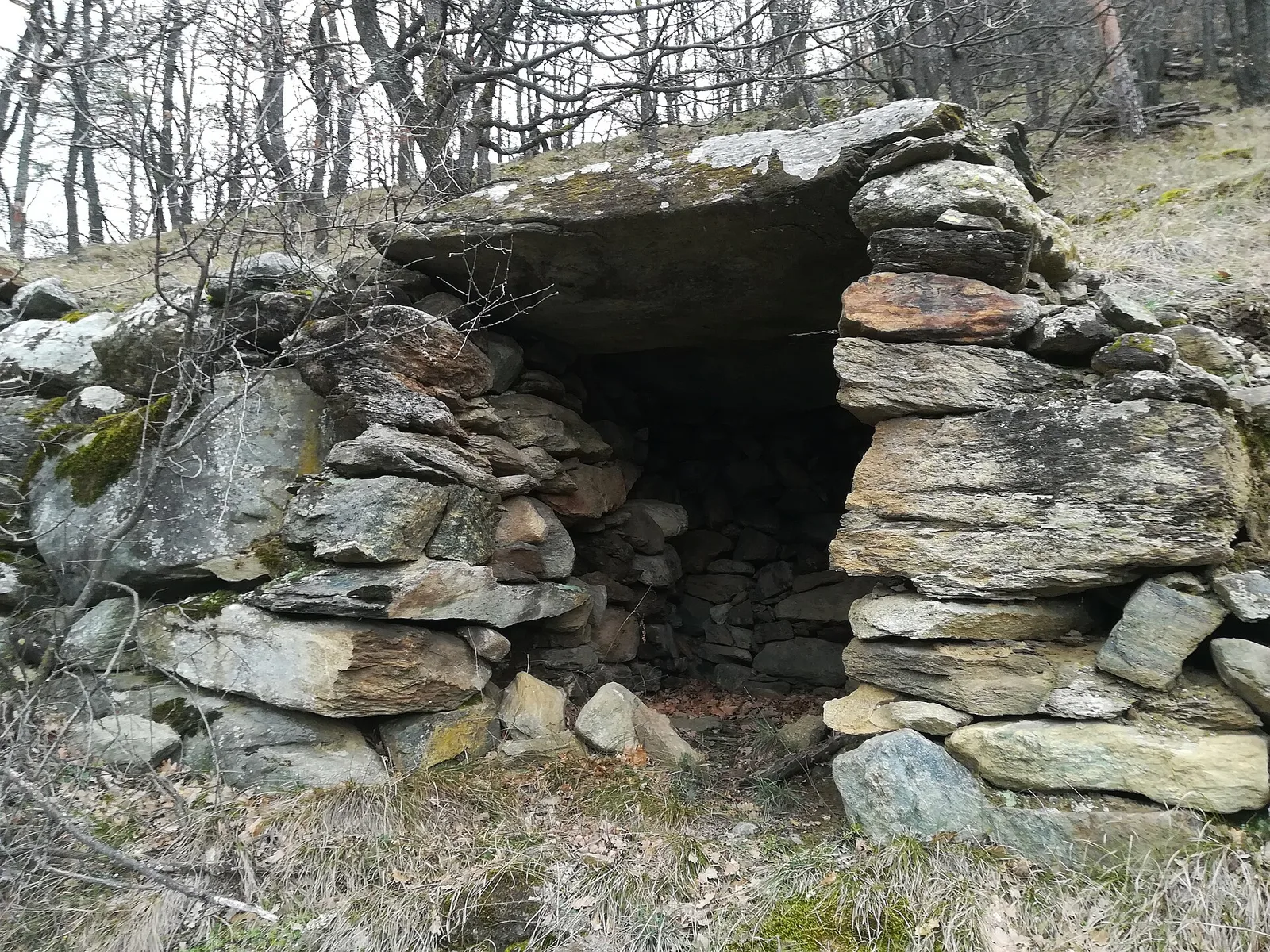
Arbaz - Miniera di Bechaz
1.6 km · +137 m · E — from Arbaz to Miniera di Bechaz (Ayas Valley).
1.6 km+137 m0.5 h
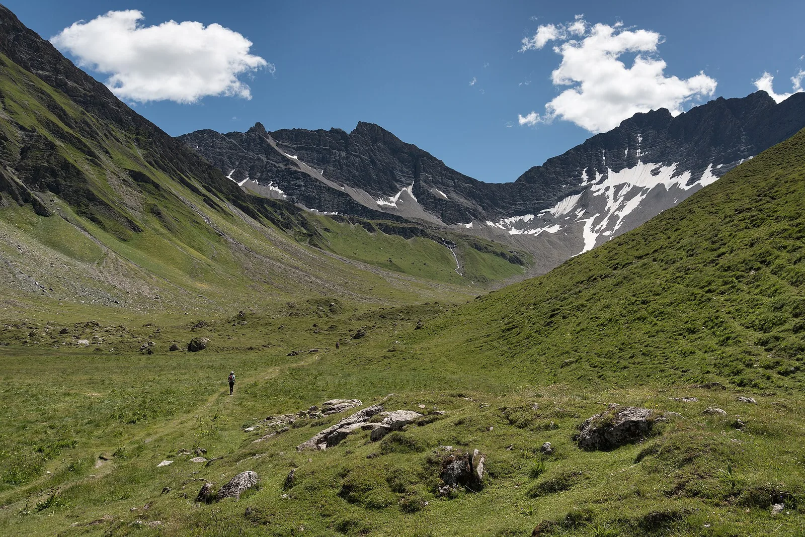
Where to spot
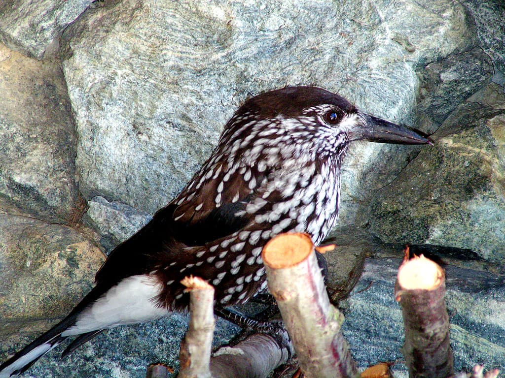
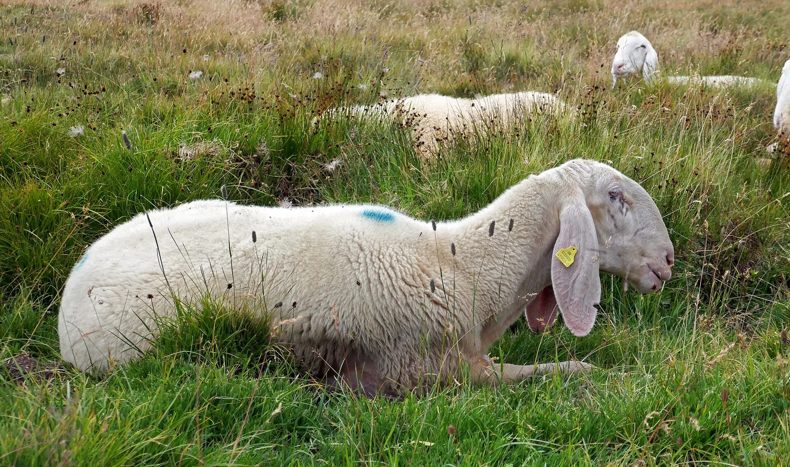
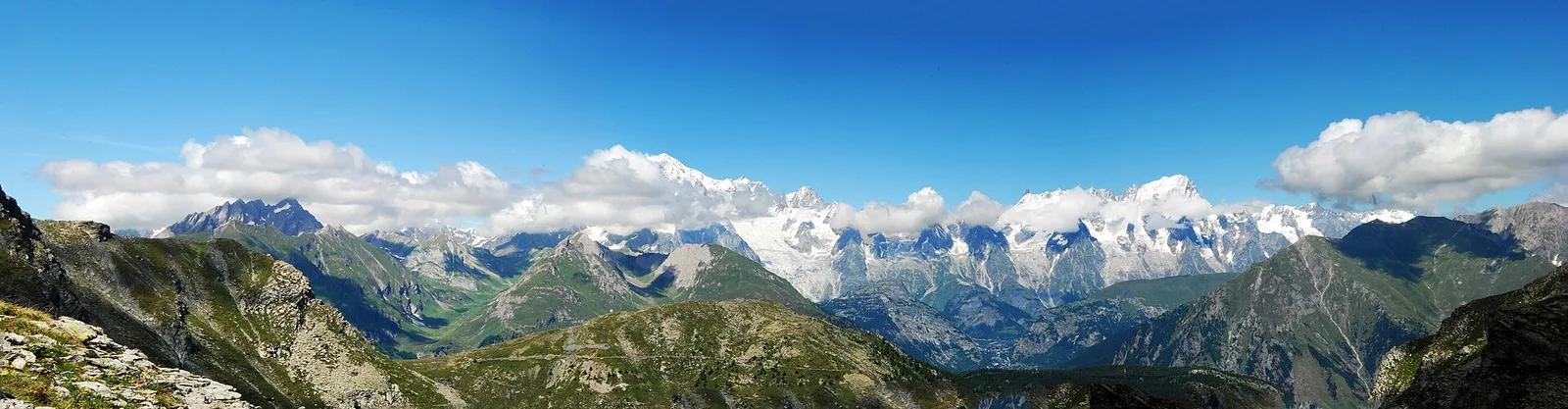
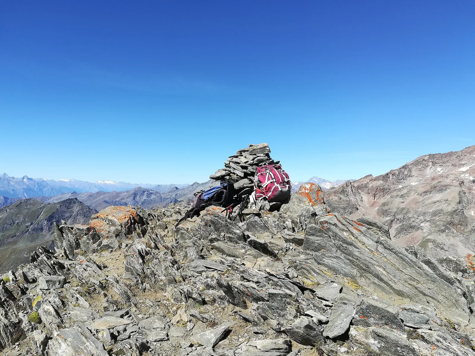
89 trails where Norway spruce is listed in flora/fauna: difficulty T–EEA, elevation gain 0–1948 m.
89 · 0.6–17.4 km · +0–1948 m
Val d'Ayas
1.6 km · +137 m · E — from Arbaz to Miniera di Bechaz (Ayas Valley).
Val di Cogne
In the Val di Cogne, commune of Aymavilles: an E-rated climb through forest and alpine pastures in the Gran Paradiso National Park.
Val di Cogne
From Aymavilles Moulin (653 m) to Petit Poignon (1562 m) along the Gran Paradiso Park edge: mixed woodland, clearings, and wildlife. 6.2 km, +926 m, E.
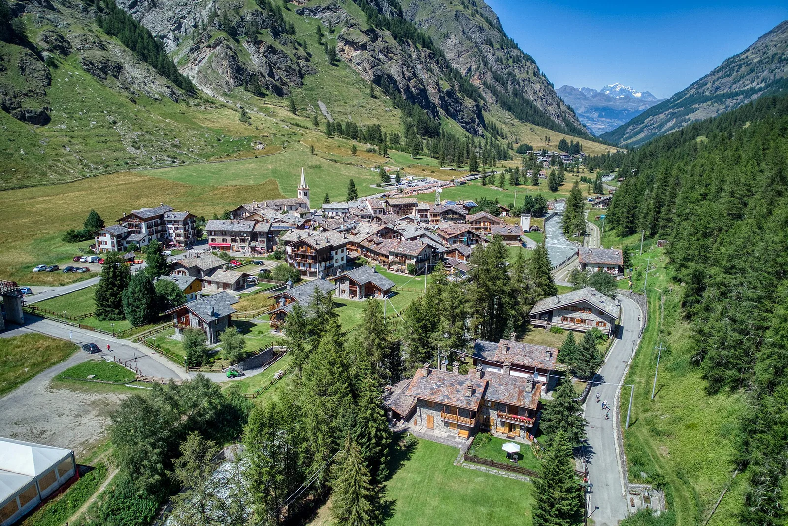
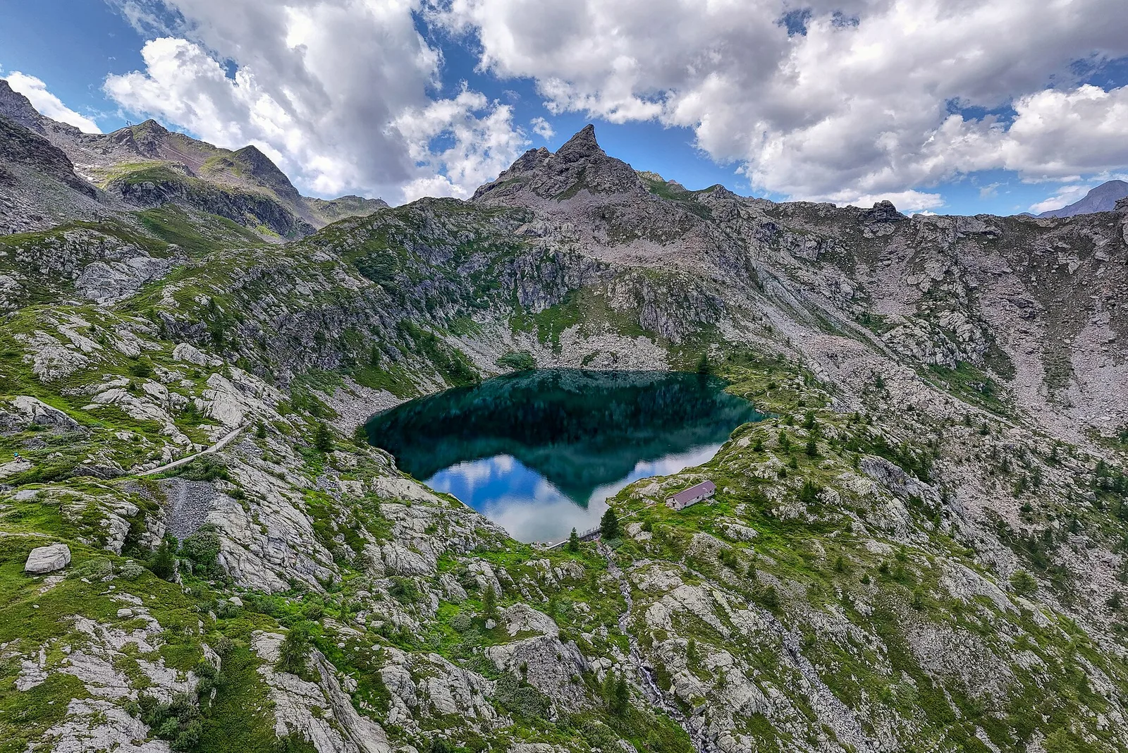
Val di Rhêmes
8.2 km · +1265 m · E — from Balme to Col d'Arp (Rhêmes Valley).
Valpelline
3.7 km · +500 m · E — from Blavy to Grandzette (Valpelline).
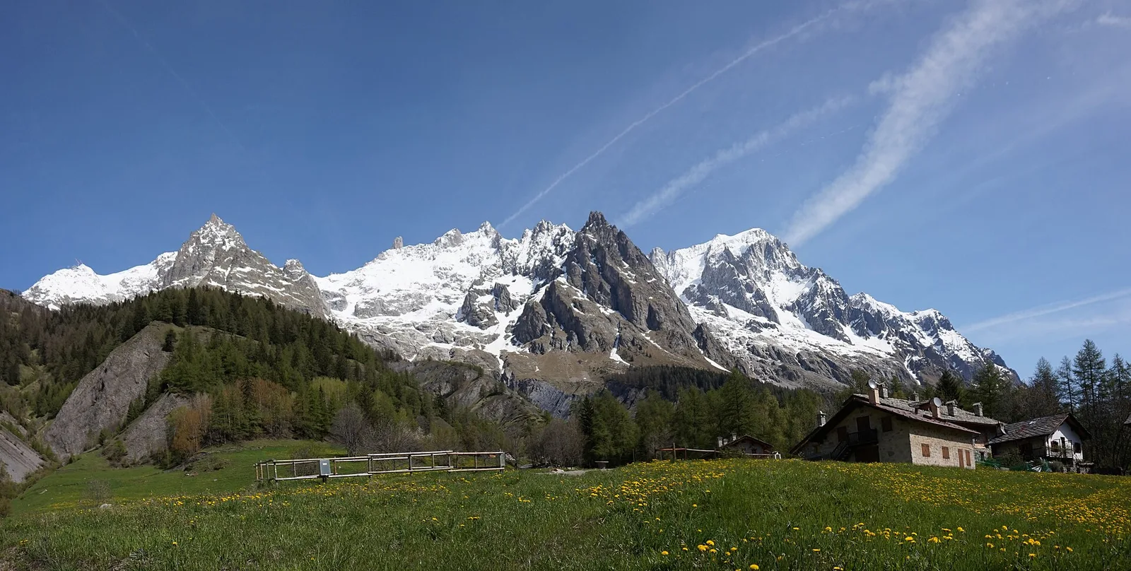
Valdigne
2.8 km · +315 m · E — from Brengon (Cimitero de La Magdeleine) to Pilaz (Valdigne).
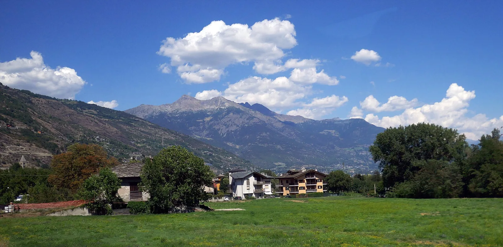
Valle centrale
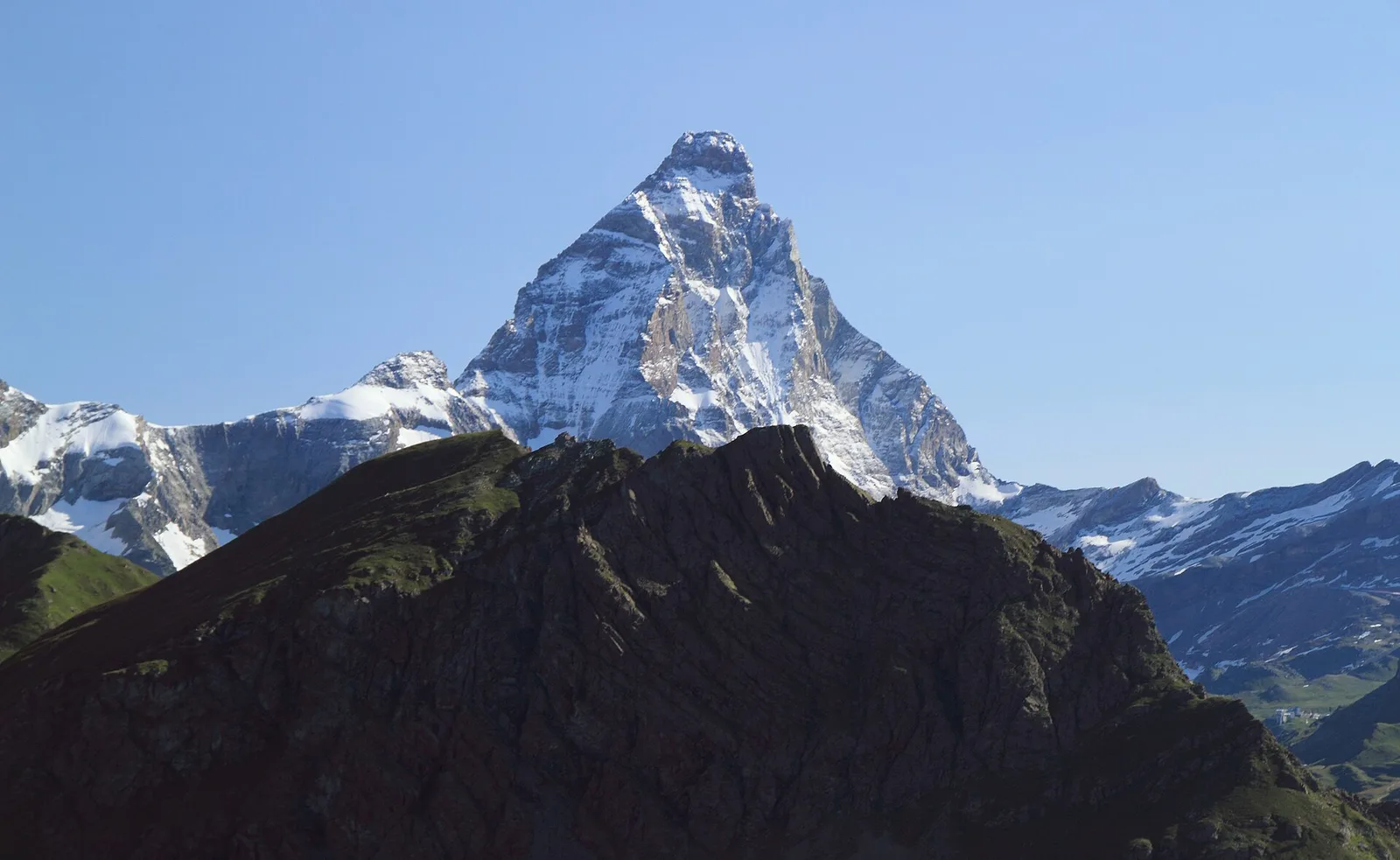
7.1 km · +1234 m · EE — from Breuil-Cervinia to Anfiteatro del Furggen (Central Valley).
Valle del Gran San Bernardo
2.7 km · +571 m · E — from Bruil to Casotto PNGP di Sort (Great St Bernard Valley).
Valdigne
2 km · +275 m · E — from Cerellaz to Vedun (Valdigne).
Valdigne
A steady climb in the Valdigne from Charbonnière (1,271 m) to Vedun (1,519 m) in the municipality of La Salle: 3.5 km, 380 m ascent.
Valdigne
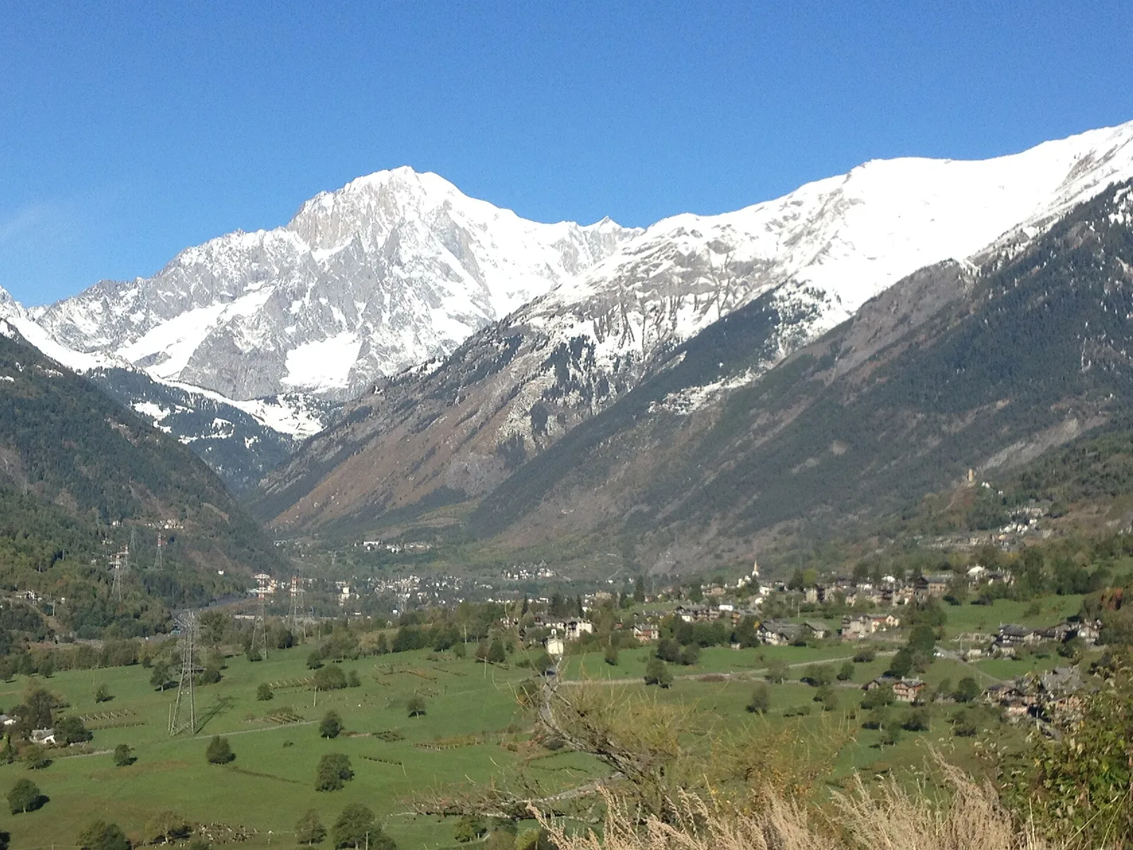
In the Valdigne, La Salle: an E-rated climb toward upper slope zones with views of Mont Blanc.
Valdigne
5.2 km · +959 m · E — from Via Chanoux to Promiod (Valdigne).
Valle di Champorcher
14.2 km · +1948 m · E — from Crest-Désot to Col de Bonze (Champorcher Valley).
Valle del Lys
1 km · +107 m · E — from Cretaz to Tour d'Oyace (Lys Valley).
Valtournenche
3.5 km · +180 m · E — from Strada comunale a monte delll'abitato di Dailley to Châtelard (Valtournenche).
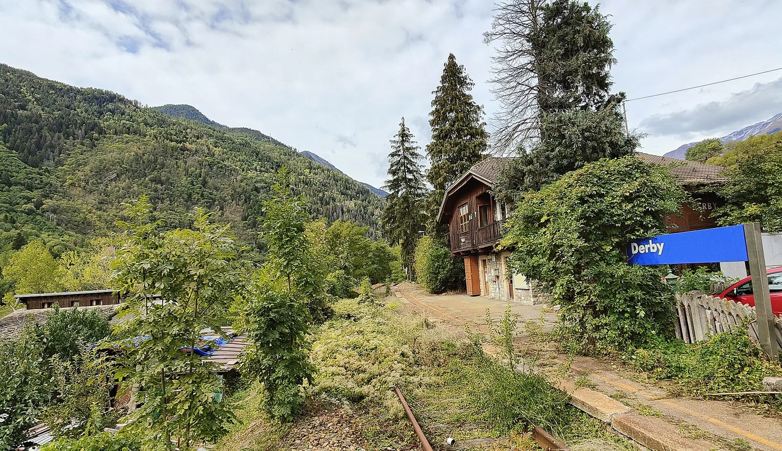
La Thuile
5.2 km · +715 m · E — from Derby, Chiesa to Lazey (La Thuile).
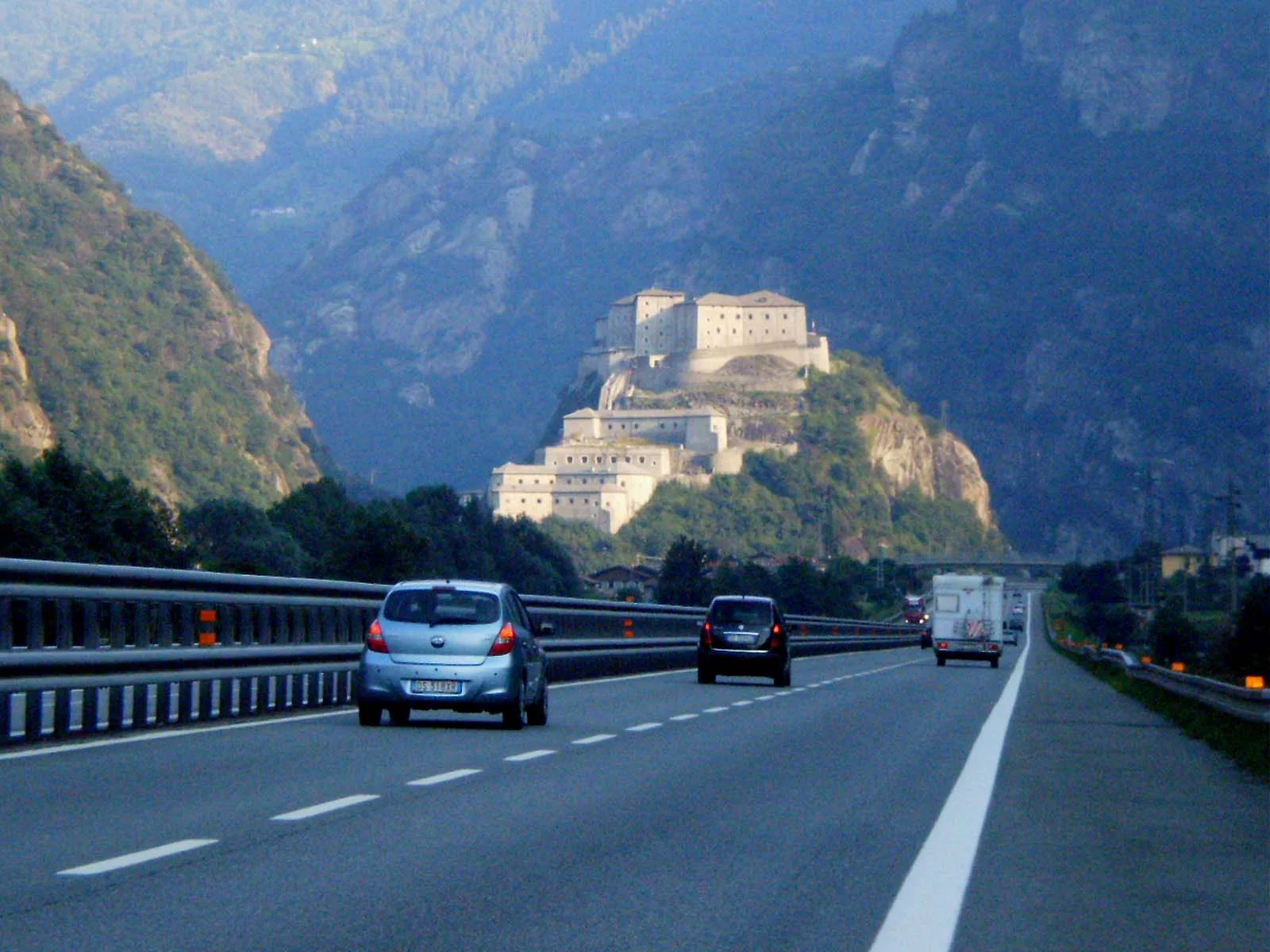
Valle del Gran San Bernardo
13.4 km · +1593 m · EE — from Druges to Col de Leppe (Great St Bernard Valley).
La Thuile
5.2 km · +578 m · E — from Echarlod to Vedun (confine comunale Avise) (La Thuile).
Valtournenche
1.4 km · +297 m · EE — from Echelly to Grand-Rosier (Valtournenche).
Valle del Lys
1.4 km · +0 m · E — from Epinel to Str.Regionale.Cretaz (Lys Valley).
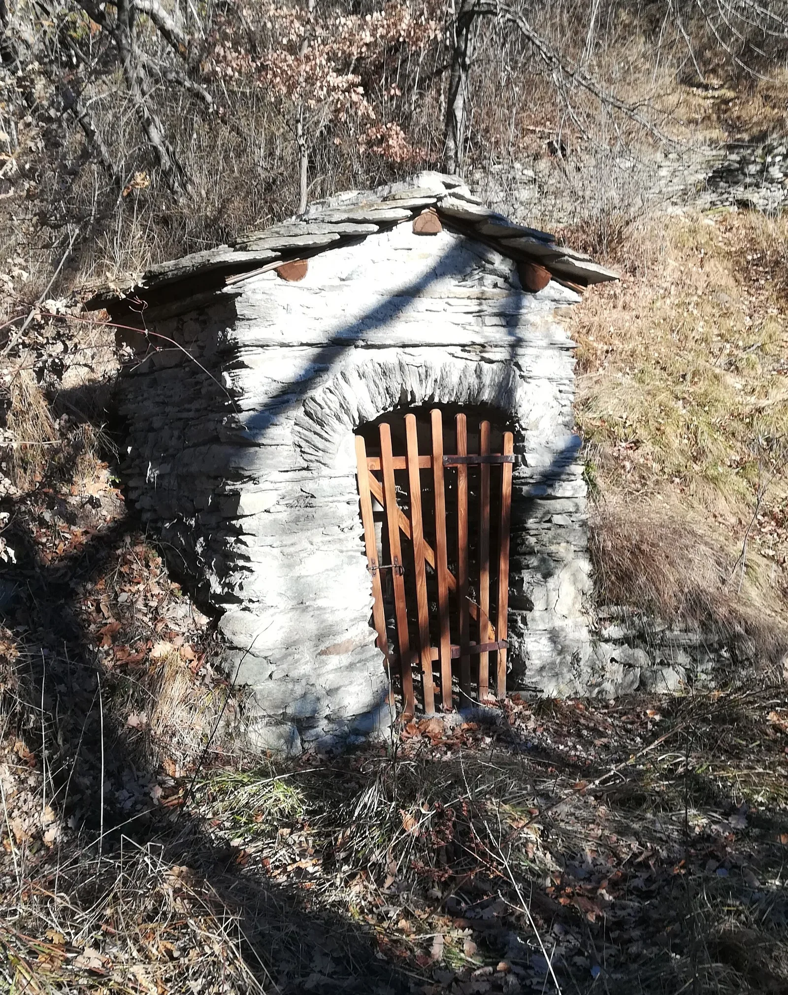
Valpelline
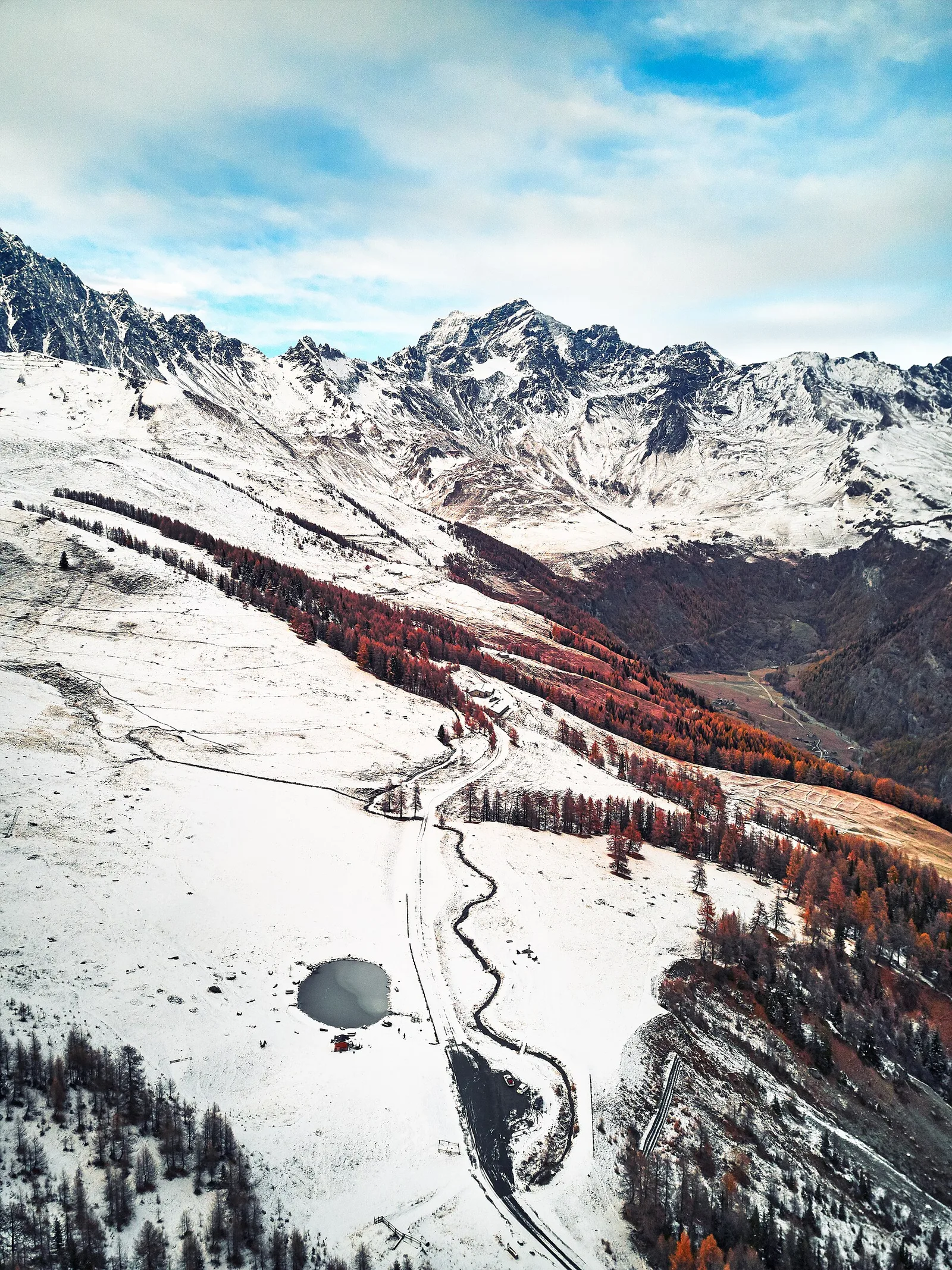
A solitary climb to Bivacco Chentre Bionaz deep in the wild upper Valpelline — nearly 1000m of gain among abandoned pastures and border glaciers.
Valle centrale
1.5 km · +313 m · E — from Fossaz to Fournaise (Central Valley).
Valle centrale
3.8 km · +450 m · E — from Fossaz to Grand Sarriod (Central Valley).
Valtournenche
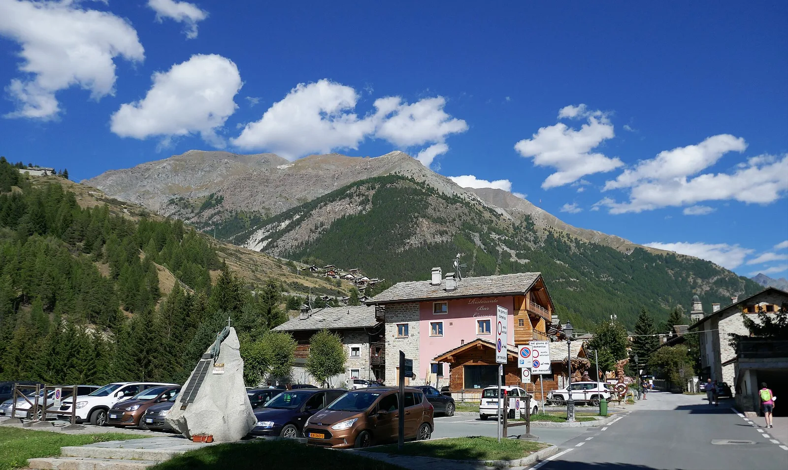
In the commune of Antey-Saint-André, Valtournenche: an E-rated route between hamlets and pastures on the sunny slope.

Valpelline
2.8 km · +376 m · E — from Confine Comunale Antey -Torgnon to Fontin Dameun (Valpelline).
Valtournenche
In the commune of Torgnon, Valtournenche: a panoramic route through forest, pastures and hamlets of the Aosta Valley mid-mountain.

Val d'Ayas
8.1 km · +1383 m · E — from Issime to Col Dondeuil (Ayas Valley).
Valsavarenche
4.2 km · +1074 m · E — from La Clévaz to Plan Fiou (Valsavarenche).
Valle del Gran San Bernardo
1.8 km · +163 m · E — from La Palud to Planpincieux (Great St Bernard Valley).
Valsavarenche
4.8 km · +1134 m · E — from La Raffort - Centrale to Cormoney (Valsavarenche).
Valle del Lys
8.9 km · +968 m · E — from La Thuile, Thovex to Rifugio Deffeyes (Lys Valley).
Valle del Gran San Bernardo
5 km · +829 m · E — from La Vachey to Col Entre Deux-Sauts (Great St Bernard Valley).
Valle centrale
3.6 km · +662 m · E — from Lac d'Arpy to Col d'Ameran (Central Valley).
Valle di Champorcher
2.1 km · +538 m · E — from Lago Gover to Alpe Jatza (Champorcher Valley).
Valle del Lys
3.3 km · +571 m · EE — from Staffal to Sorgenti del Lys (Lys Valley).
Valle del Lys
13 km · +1321 m · EE — from Lillaz to Col des Eaux-Rousses (Lys Valley).
Valle del Lys
3.2 km · +736 m · E — from Lillaz to Lago Loie (Lys Valley).
Valle centrale
2.3 km · +427 m · E — from Mayen to Pâquier (Cré-du-Pont) (Central Valley).
Valtournenche
2.1 km · +183 m · E — from Mellier to Grand-Rosier (Valtournenche).
Valpelline
8.2 km · +1324 m · E — from Nus to Issologne (Valpelline).
Valle di Champorcher
4.9 km · +1393 m · EE — from Obrò Biela to Passo di Rissuolo (Champorcher Valley).
Valle del Lys
3.5 km · +1000 m · EE — from Ondre Eselbode to Bivacco Gastaldi (Lys Valley).
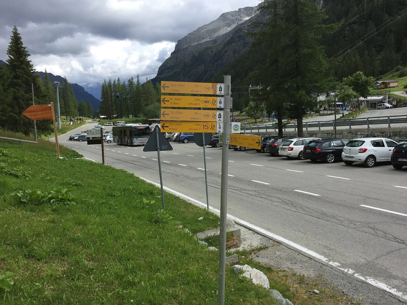
Valle del Lys
5.6 km · +772 m · E — from Gressoney-la-Trinité to Lago Gabiet (Lys Valley).
Valtournenche
3.5 km · +593 m · E — from Outre l'Eve to Saint-Antoine (Valtournenche).
Val di Cogne
1.4 km · +137 m · E — from Ozein to Strada per Torlin (Cogne Valley).
Val d'Ayas
3.1 km · +425 m · E — from Paysan to Miniere di Bechaz (Ayas Valley).
Val d'Ayas
1.2 km · +160 m · E — from Pilaz to Fontaines de Goillaz (Ayas Valley).
Valtournenche
3.9 km · +896 m · E — from Pingaz to Torlin dessus (Valtournenche).
Val d'Ayas
0.6 km · +266 m · E — from Issime (parco giochi) to Pirubeck (Ayas Valley).
Valle del Lys
8.2 km · +936 m · E — from Pommier to Plan Clavalité (Lys Valley).
Valtournenche
3.1 km · +806 m · E — from Pompiod to Champallex (Champchenille) (Valtournenche).
Valtournenche
3 km · +795 m · E — from Pompiod to Torlin desot (cappella)- Raccordo 38_S6 (Valtournenche).
Val d'Ayas
4.4 km · +695 m · E — from Pont to Ghiacciaio del Grand-Etret (Ayas Valley).
Valle del Gran San Bernardo
3.7 km · +1079 m · EE — from Pont Combal to Bivacco Rainetto (Great St Bernard Valley).
Valle di Champorcher
4 km · +727 m · E — from Pontboset to Santuario di Retempio (Champorcher Valley).
Valdigne
4.3 km · +1068 m · E — from Ponte Dora Baltea to Alpe Mont Giron (Valdigne).
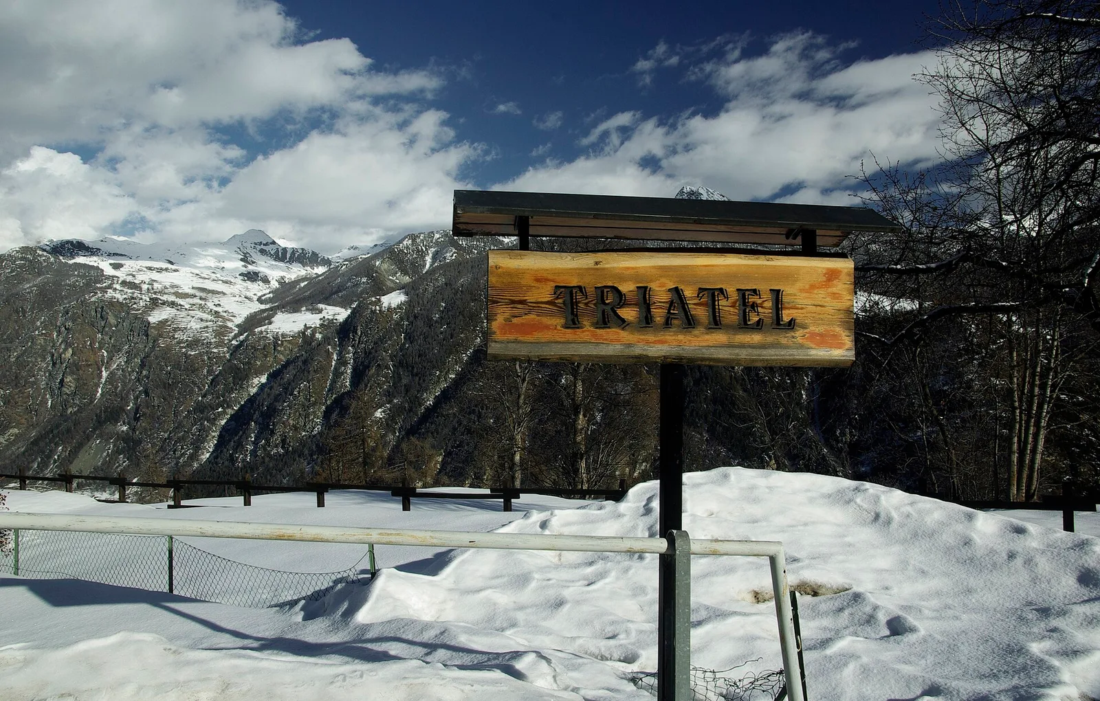
Valpelline
2.7 km · +556 m · E — from Confine comunale Antey -Torgnon to Triatel (Valpelline).
Valtournenche
5.5 km · +1218 m · E — from Pramotton to Fontanet (Valtournenche).
Valpelline
8.2 km · +992 m · E — from Praz to Fenetre de Tsan (Valpelline).
Valle del Gran San Bernardo
4.8 km · +1156 m · E — from Prenoud to Grande Tête (Great St Bernard Valley).
Valle centrale
1.6 km · +202 m · E — from Remiod (Rumiod) to Grand Sarriod (Central Valley).
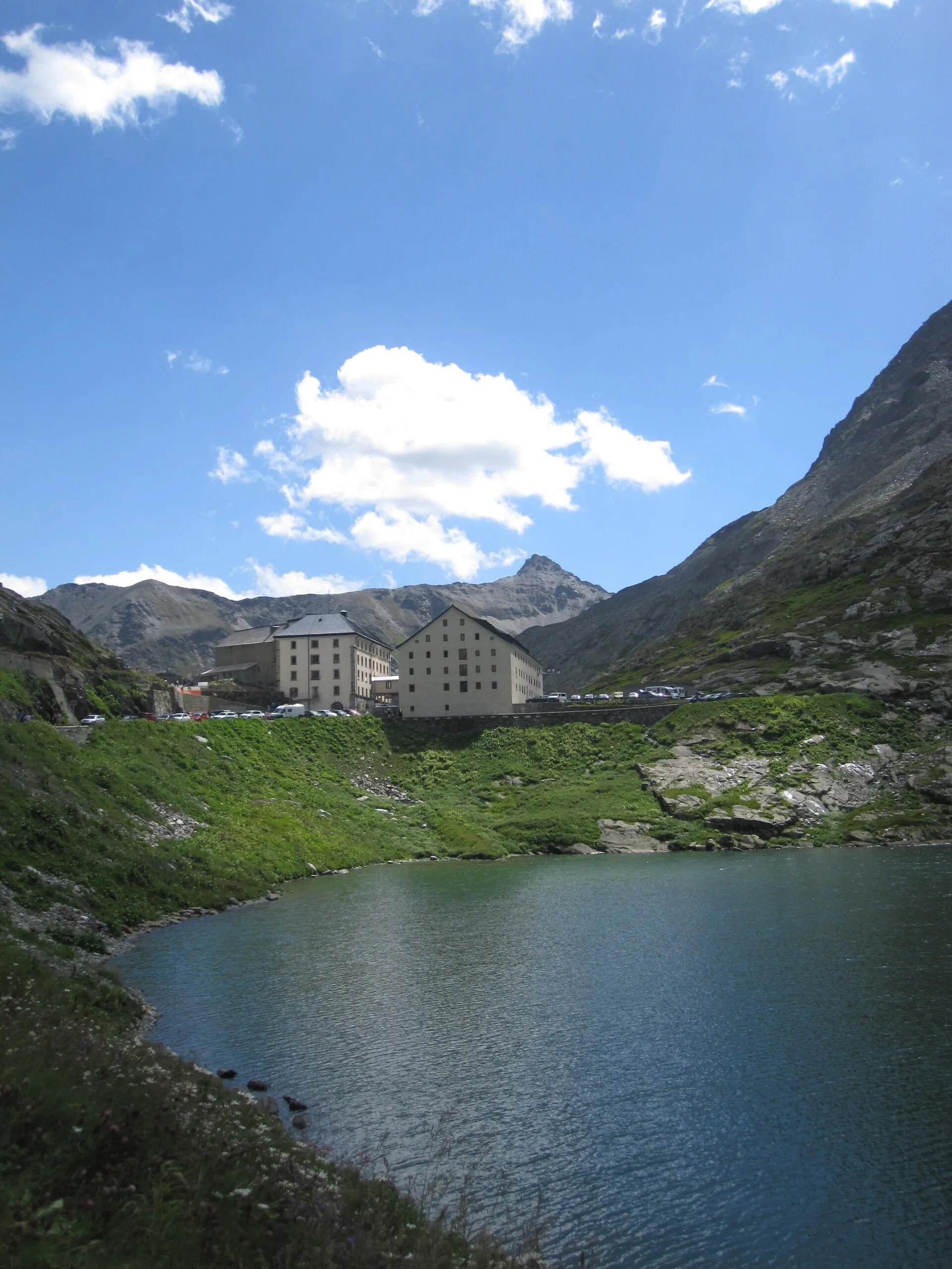
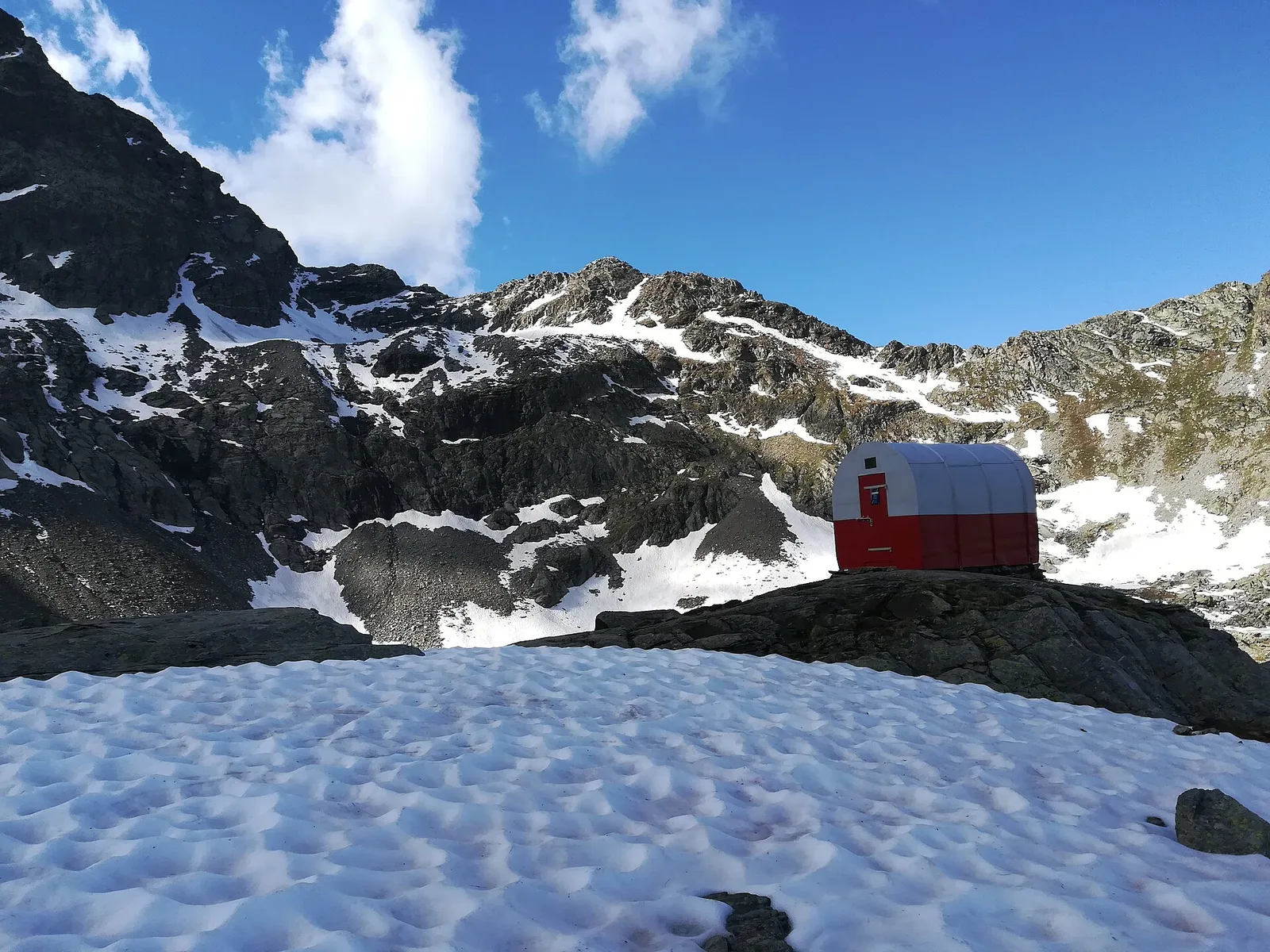
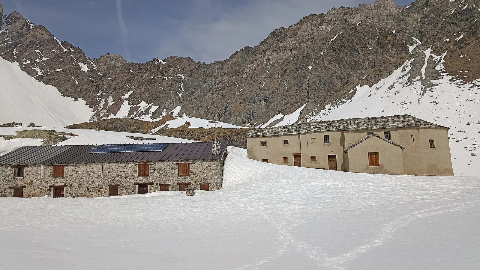
Valpelline
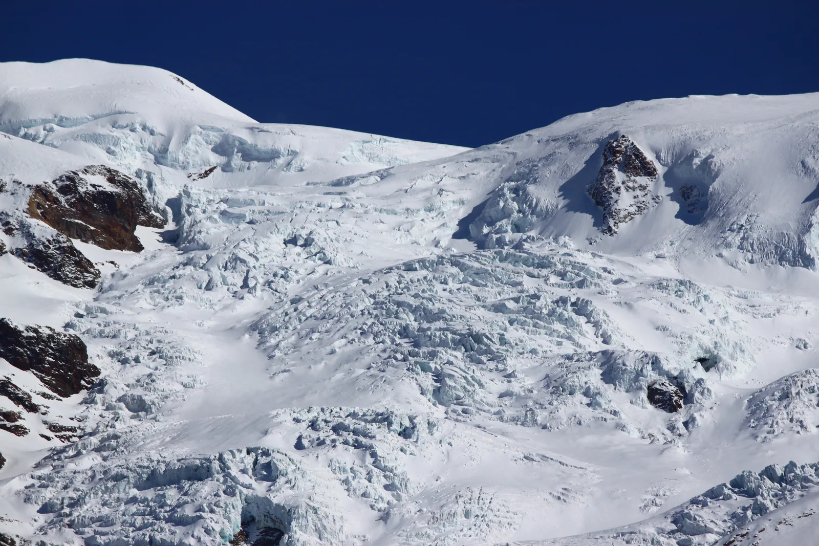
Rifugio Prarayer (2002 m) to Rifugio Aosta (2790 m), upper Valpelline. EEA route across glacial terrain; harness, ice axe and crampons required.
Valle del Lys
2.9 km · +688 m · EE — from Rovarey to Thuy damon (Chambave) (Lys Valley).
Valpelline
4.9 km · +0 m · E — from Vaud to Châtelair (Valpelline).
Valle centrale
In the commune of Avise: an E-rated climb in a side valley toward a high-altitude lake.
Valle centrale
4.7 km · +1018 m · E — from Saint-Léonard to Col Citrin (Central Valley).
Valle del Gran San Bernardo
1.8 km · +448 m · E — from Saint-Oyen to Saint-Oyen (Great St Bernard Valley).
Valle del Gran San Bernardo
2.7 km · +185 m · E — from Saint-Oyen to Saint-Léonard (Great St Bernard Valley).
Valle centrale
4.8 km · +1070 m · E — from Saint-Roch to La Borney (Central Valley).
Valle centrale
3.8 km · +1070 m · E — from Saint-Roch to La Borney (Central Valley).
Valle centrale
4.2 km · +802 m · EE — from Sainte-Marguerite to Col Giassit (Central Valley).
Valle del Lys
6.6 km · +1413 m · EE — from Servettaz to Col de Bellalanaz (Lys Valley).
Valle del Lys
5.9 km · +405 m · E — from Souches to Mont-Belvedere (Lys Valley).
Valle del Lys
6.4 km · +1355 m · E — from Staffal to Alta Luce (Hochliecht) (Lys Valley).
Valle del Lys
4.7 km · +1088 m · E — from Staffal to Passo Inferiore della Bettolina (Lys Valley).
Valle di Champorcher
4.3 km · +155 m · T — from Bivio Villa Margherita to Start 9 (Champorcher Valley).

Val d'Ayas
2 km · +370 m · E — from Strada Regionale to Arbaz (Ayas Valley).
Valle del Gran San Bernardo
5.1 km · +1030 m · E — from Eresaz to Tête de Comagne (Great St Bernard Valley).
Valle del Gran San Bernardo
5.7 km · +1091 m · E — from Toffo (Montjovet) to Sommarèse (Great St Bernard Valley).
Valtournenche
2.5 km · +461 m · E — from Torille to Lac de Ville (Valtournenche).
Valdigne
3.9 km · +1042 m · E — from Torin to Alpe Mont Giron (Valdigne).
Valpelline
4.5 km · +390 m · E — from Rey to Chatellair-Dessus (Valpelline).
Valpelline
3.8 km · +78 m · E — from Rey to Chatellair-Dessus (Valpelline).
Valpelline
17.4 km · +680 m · T — from Plan Porion to Plan Porion (Valpelline).

Valdigne
In the commune of La Salle, Valdigne: an accessible route through forest and vineyards toward upper hamlets.
Valle del Lys
8.9 km · +1318 m · E — from Vernosse to Col Vamea (Lys Valley).
Valle centrale
5.5 km · +613 m · E — from Vetan to Lac des Grenouilles (Central Valley).
Valle centrale
3.9 km · +713 m · E — from Veynes to Valtolanaz (Central Valley).
Valle centrale
2.9 km · +680 m · E — from Veynes to Valtolanaz (Central Valley).