
EE
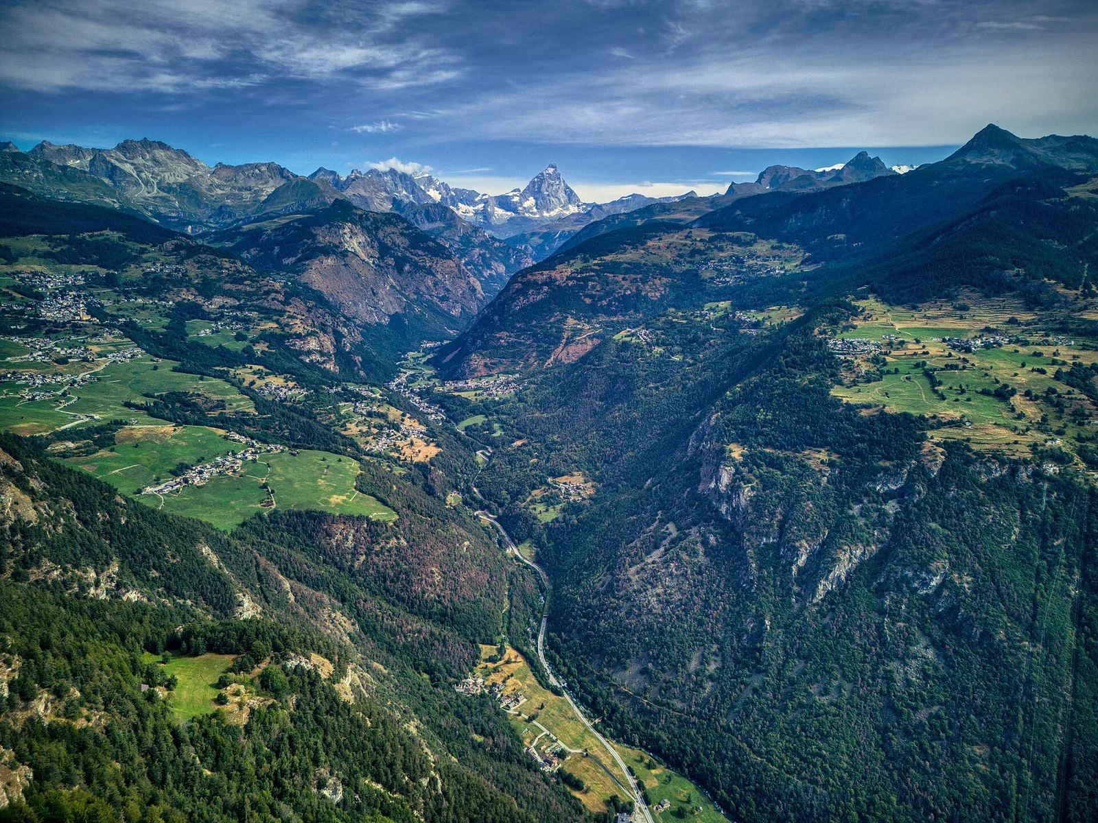
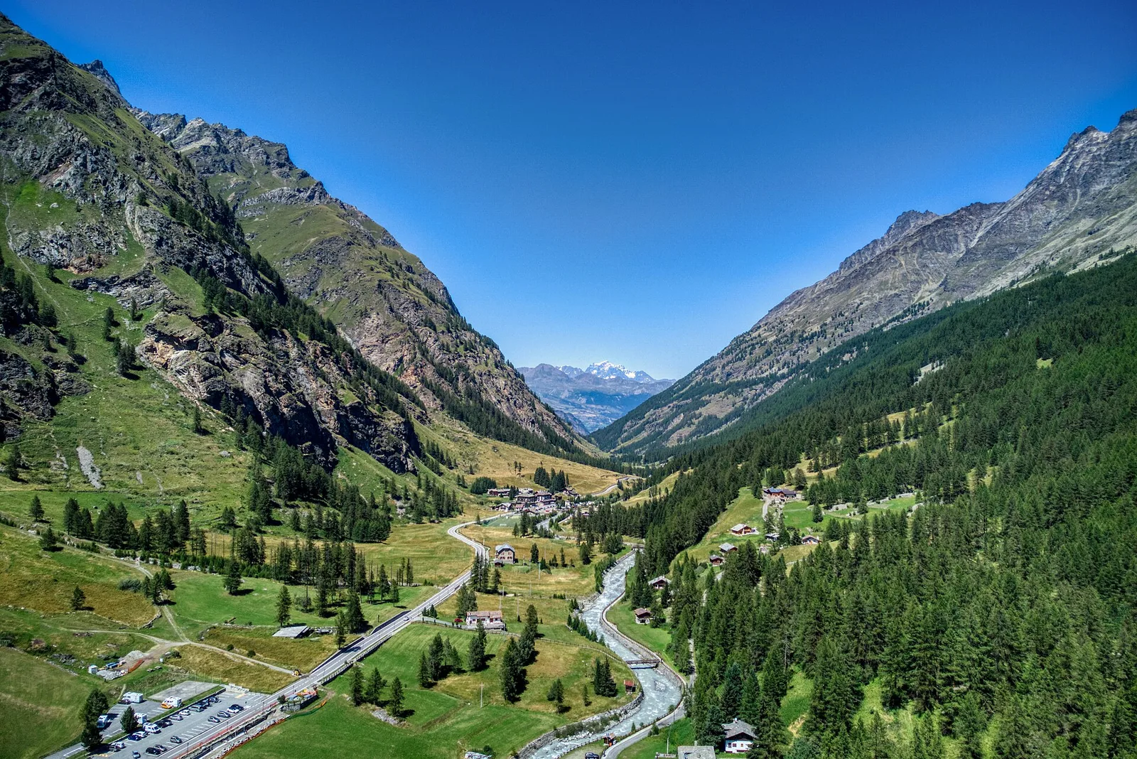
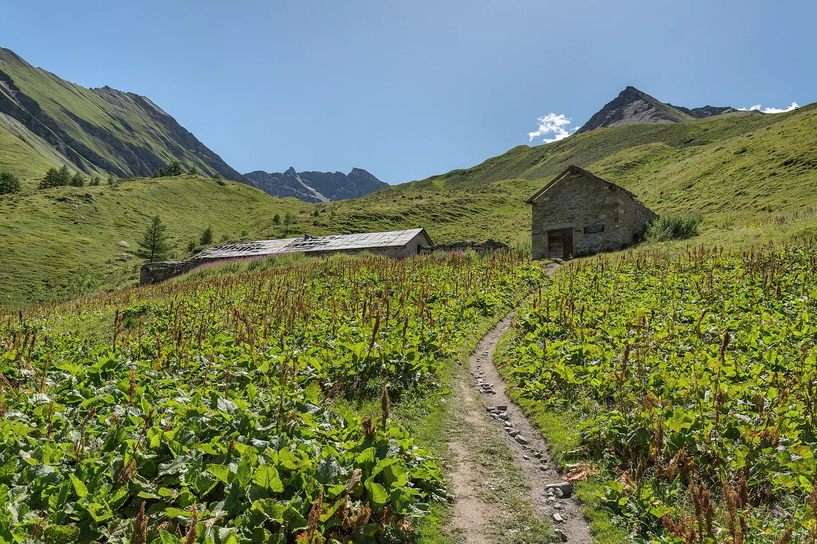
Valle centrale
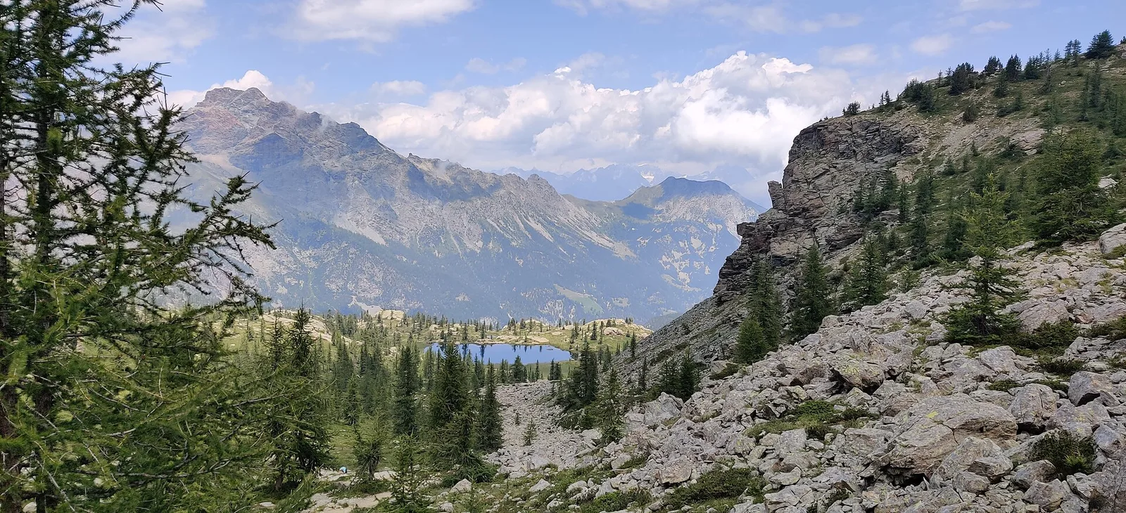
Amponey - Becca Trecare
A demanding EE ascent from Amponey to Becca Trecare at 3032m — nearly 1500m of gain on varied terrain with sweeping summit views.
7.5 km+1488 m5.5 h
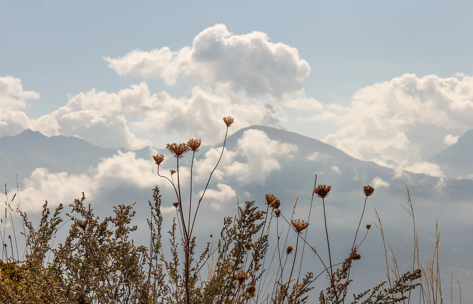
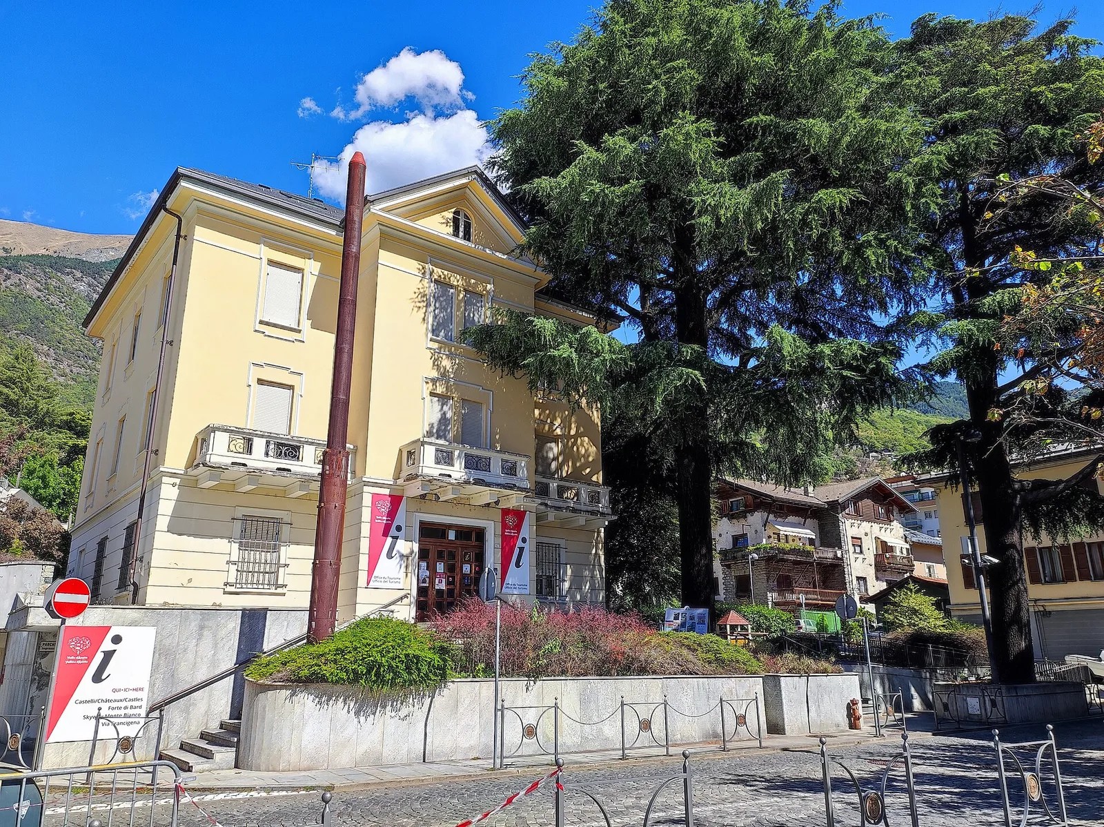
Where to spot
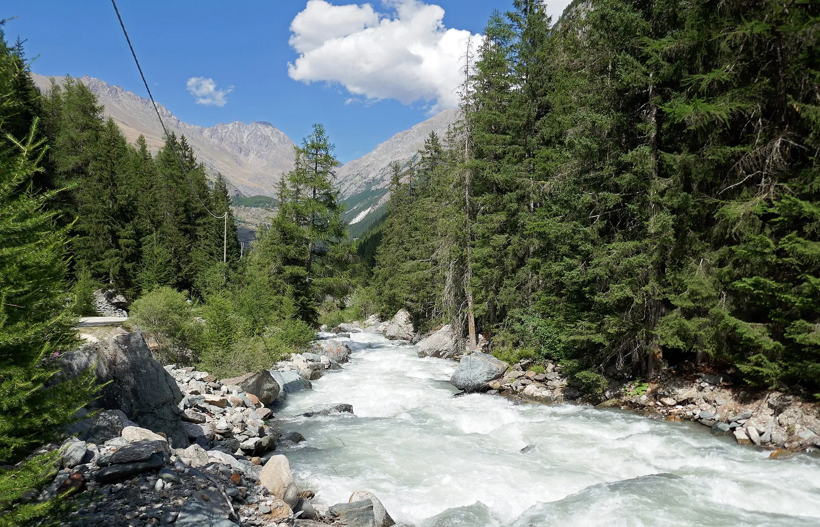
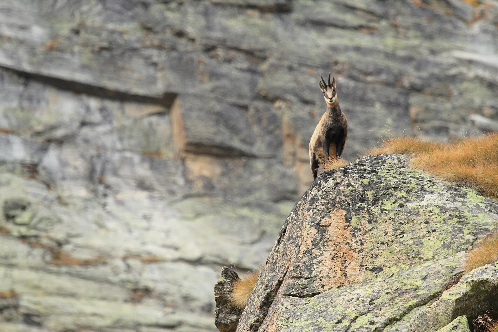
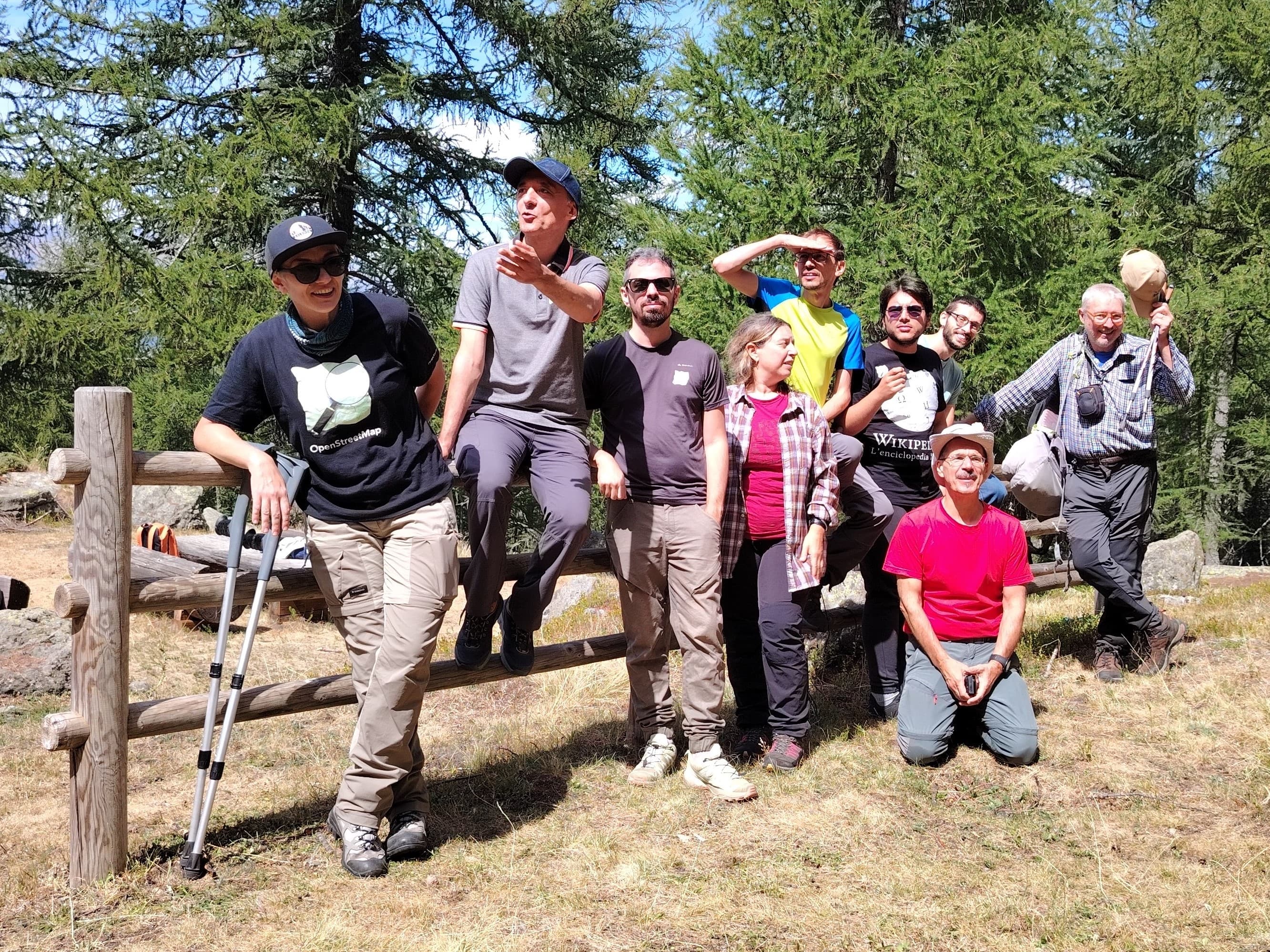
53 trails where Least weasel is listed in flora/fauna: difficulty T–EE, elevation gain 0–1911 m.
53 · 0.6–14.2 km · +0–1911 m
Valle centrale
A demanding EE ascent from Amponey to Becca Trecare at 3032m — nearly 1500m of gain on varied terrain with sweeping summit views.

Valle centrale
In the Val d'Ayas, Ayas: an E-rated climb toward a high-altitude objective through pastures and rock with views of Monte Rosa.

Valle centrale
2.7 km · +484 m · E — from Arsines to Col Fenetre (Central Valley).
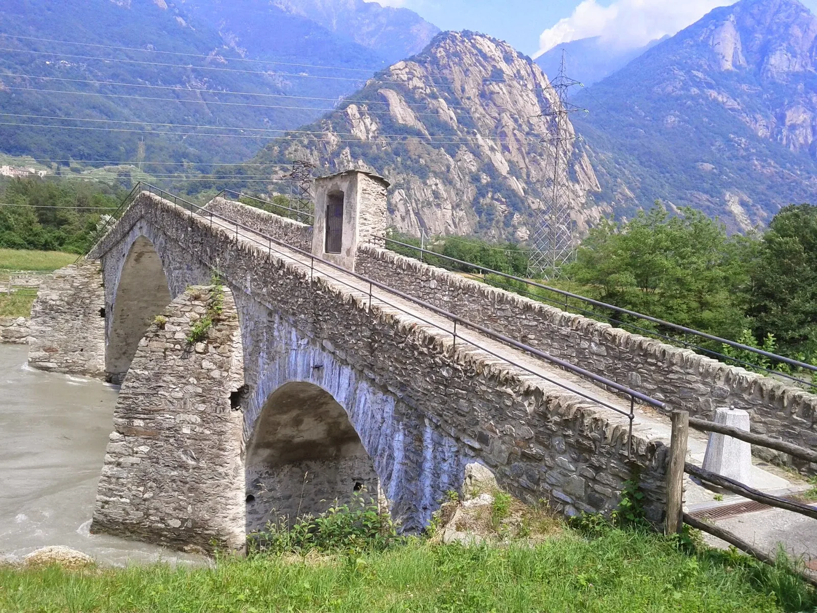
Valpelline
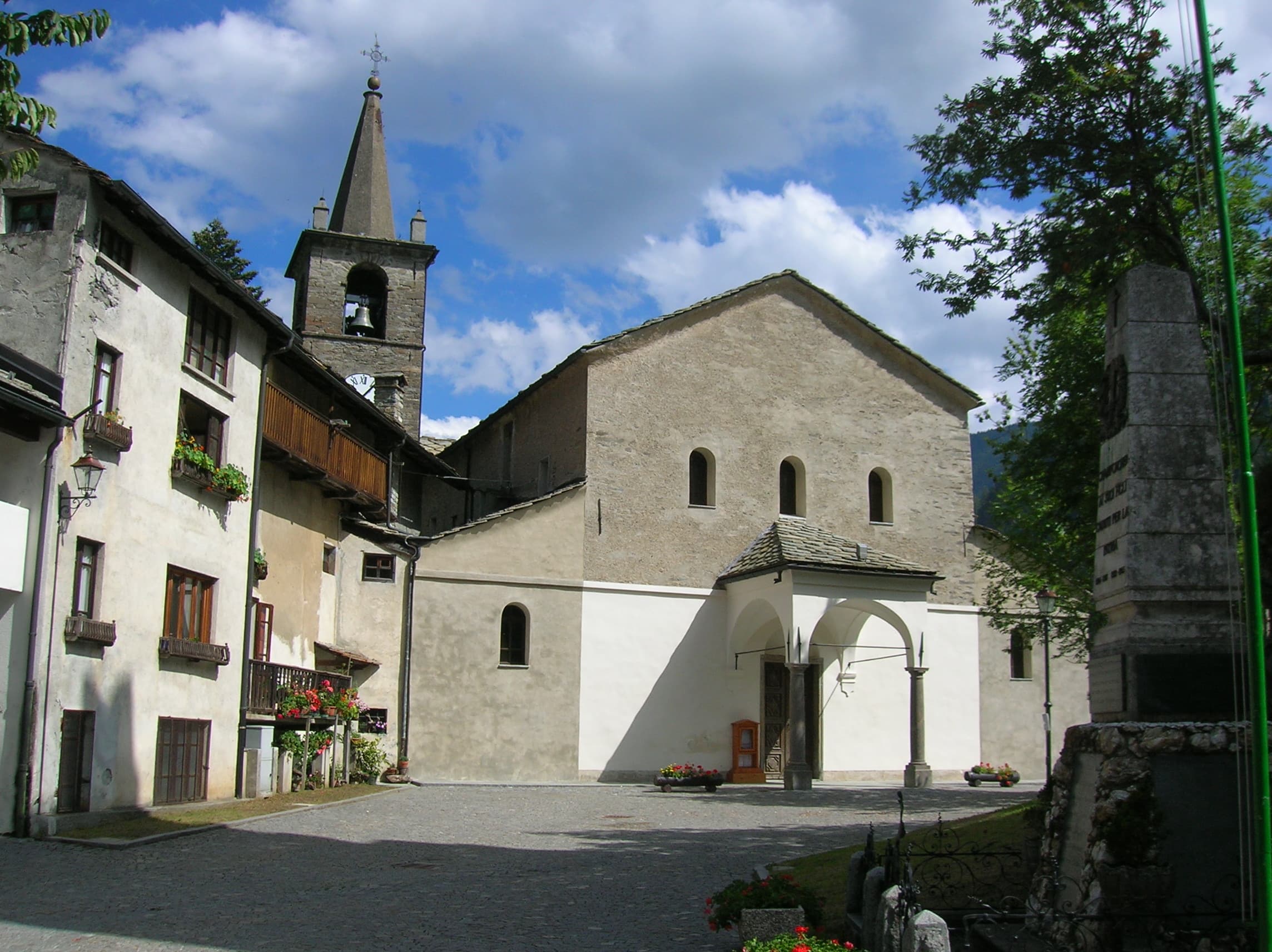
3.3 km · +507 m · EE — from Berzin to Cappella di Saint-Evence (Valpelline).
Valsavarenche
3.9 km · +549 m · E — from Biel to Serra di Biel (Valsavarenche).
Valle centrale
Commune of Ayas: an EE climb toward the high altitudes of the Val d'Ayas in a high-mountain environment.
Valtournenche
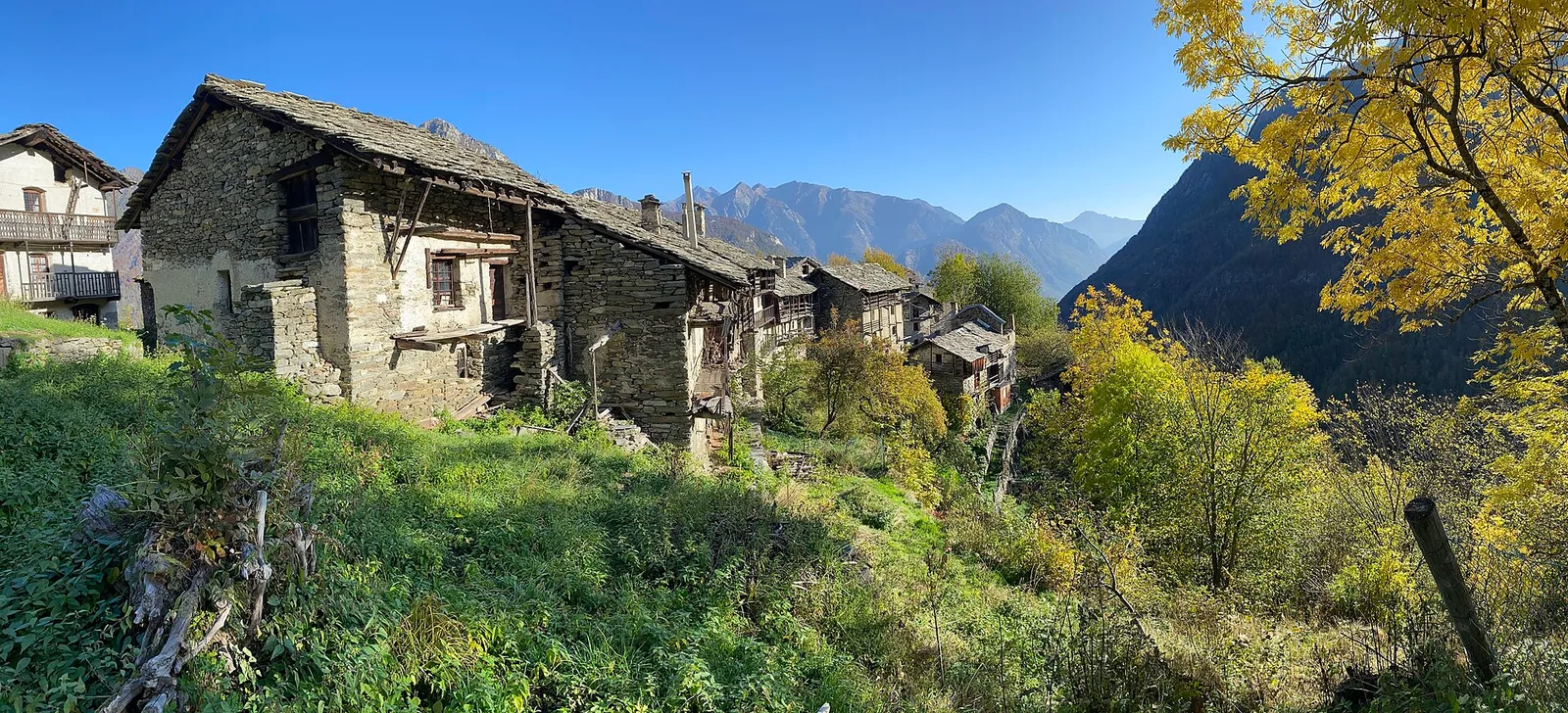
Easy walk from Bourg to Brengon (La Magdeleine) through historic Valtournenche hamlets: 3.7 km and just 188 m of ascent. Base for the Brengon-Parapromiat via ferrata.
Valle del Gran San Bernardo
1.8 km · +74 m · T — from Chanavey to Bruil, Foyer de Fond (Great St Bernard Valley).
Valle centrale
5 km · +867 m · E — from Charrière to Vetan (Central Valley).
La Thuile
2.5 km · +477 m · E — from Château to Morges (La Thuile).
Valle del Lys
7 km · +1299 m · E — from Chenaux to Arpisson (Lys Valley).
Valle del Lys
2.8 km · +170 m · T — from Capoluogo to Valnontey (Lys Valley).
Valle centrale
8.8 km · +1911 m · E — from Dailley to Tête de Licony, Bivacco Pascal (Central Valley).
La Thuile
4.8 km · +623 m · E — from Echarlod to Morges (La Thuile).
Valtournenche
5.9 km · +1028 m · E — from X 1 e 2 to Col de Joux (Valtournenche).
Valpelline
6 km · +719 m · E — from Etirol to Fenêtre d'Ersa (Valpelline).
Valle centrale
4.2 km · +453 m · E — from Fossaz to Cerlogne (Central Valley).
Valle centrale
3.5 km · +432 m · E — from Fossaz to Gerbore (Central Valley).
Valle centrale
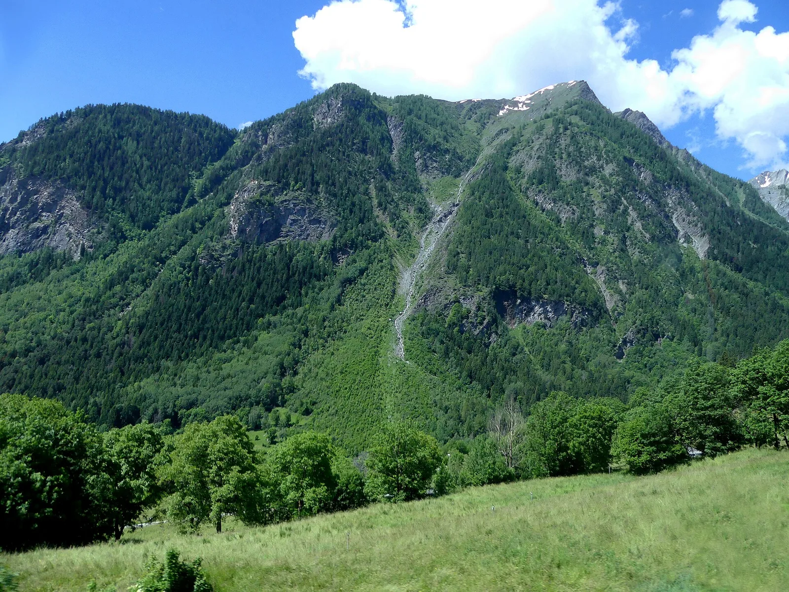
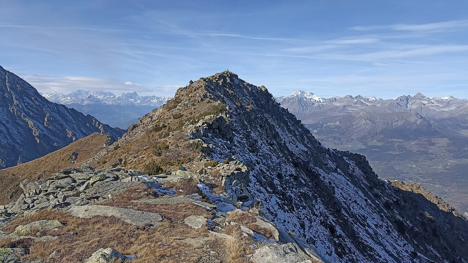
From Frachey (1620 m) to Col du Rothorn (2692 m): 5.7 km, +1094 m, exposed sections. Pass linking Val d'Ayas to Valle centrale. Expert hikers only. EE.
Valle centrale
0.6 km · +46 m · E — from Gerbore to Vetan (Central Valley).
Valtournenche
4.4 km · +110 m · T — from Col di Joux to Col Tzecore (Valtournenche).
Valtournenche
In the commune of Torgnon, Valtournenche: an E-rated route through hamlets, forest and pastures with panoramic views.
Valle centrale
2.4 km · +23 m · T — from Cappella di Saint-Pantaléon to Saint-Evence (Central Valley).
Valle del Gran San Bernardo
3 km · +536 m · E — from La Remisa to Gioè damon (Great St Bernard Valley).

Valle del Lys
9 km · +1364 m · EE — from Le Crin to Col Fussy (Lys Valley).
Valpelline
2.9 km · +0 m · E — from Lignan to Arlod (Valpelline).
Valpelline
4.8 km · +167 m · E — from Mognod to Saint-Evence (Valpelline).
Valle del Lys
4.1 km · +892 m · E — from Moline to Brein (Lys Valley).
Valtournenche
2.2 km · +442 m · E — from Outre l'Eve to Alpe Monpey (Valtournenche).
Valle del Gran San Bernardo
1.7 km · +471 m · E — from Pianatz to Kocia (Great St Bernard Valley).
Val d'Ayas
3.1 km · +839 m · E — from Pont to Col du Grand- Collet (Ayas Valley).
Valle del Lys
6.8 km · +1318 m · E — from Ponte Vernosse to Col Vamea (Lys Valley).
Valdigne
3.1 km · +199 m · E — from Promiod to Brengon (Valdigne).
Valtournenche
4.2 km · +198 m · E — from Confine comunale Arvier, Revers to Valgrisenche (Valtournenche).
Valle centrale
5.6 km · +726 m · EE — from Rifugio Barmasse to Bivacco Rivolta (Central Valley).
Valle di Champorcher
4.8 km · +1211 m · EE — from Rong to Passo Valdobbiola (Champorcher Valley).
Valtournenche
4.7 km · +51 m · E — from Via Battaglione Aosta to Verdetta (Valtournenche).
Valle centrale
From Saint-Jacques, the demanding EE route to Mont Roisetta climbs pastures, scree and high-mountain terrain in the Val d'Ayas, with views toward Monte Rosa.
Valle del Lys
6.5 km · +838 m · E — from Staffal to Orestes Huette (Lys Valley).
Val d'Ayas
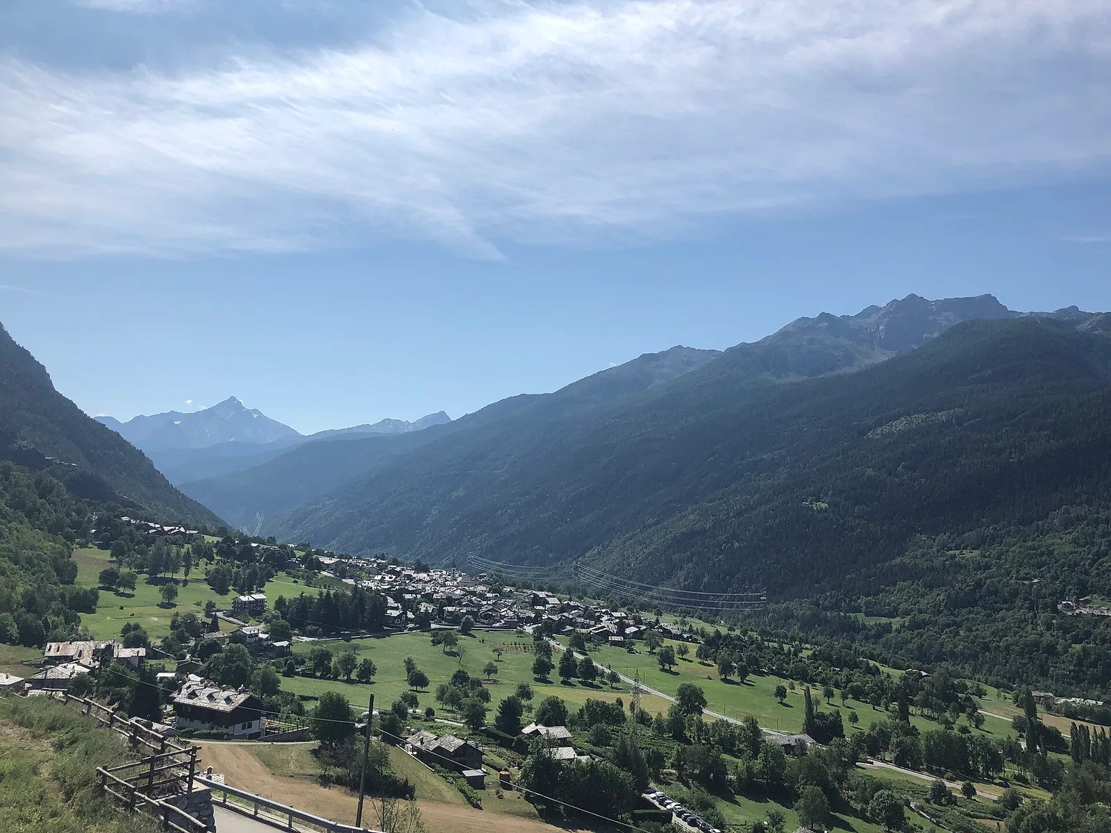
A short, steep climb from Strada Cappuccini (601 m) to Excenex (1,036 m) in Val d'Ayas: 3.2 km and 452 m of ascent.
Valtournenche
3.5 km · +639 m · EE — from Strada Dondena to Col Cima Piana (Valtournenche).
Valle centrale
7.4 km · +1671 m · E — from Strada per Veulla to Mont Barbeston (Central Valley).
Valle di Champorcher
3.5 km · +723 m · E — from Strada per Tschalvrino to Col Ranzola (Champorcher Valley).
Valtournenche
14.2 km · +1342 m · E — from Saint-Vincent to La Magdeleine (Valtournenche).
Valtournenche
6 km · +977 m · E — from Terme to Col de Joux (Valtournenche).
Valle del Lys
2.3 km · +394 m · E — from Tiller to Valmianaz (Lys Valley).
Valle centrale
1.7 km · +277 m · E — from Trepont to Liveroulaz (St-Nicolas) (Central Valley).
Valtournenche
3.3 km · +419 m · E — from Valpelline capoluogo to Capoluogo (Valtournenche).

Valle di Champorcher
5.2 km · +1722 m · E — from Varesa to Chavanna (Champorcher Valley).
Valle di Champorcher
7.4 km · +1789 m · E — from Varesa to Col de la Fricolla (Champorcher Valley).
Valdigne
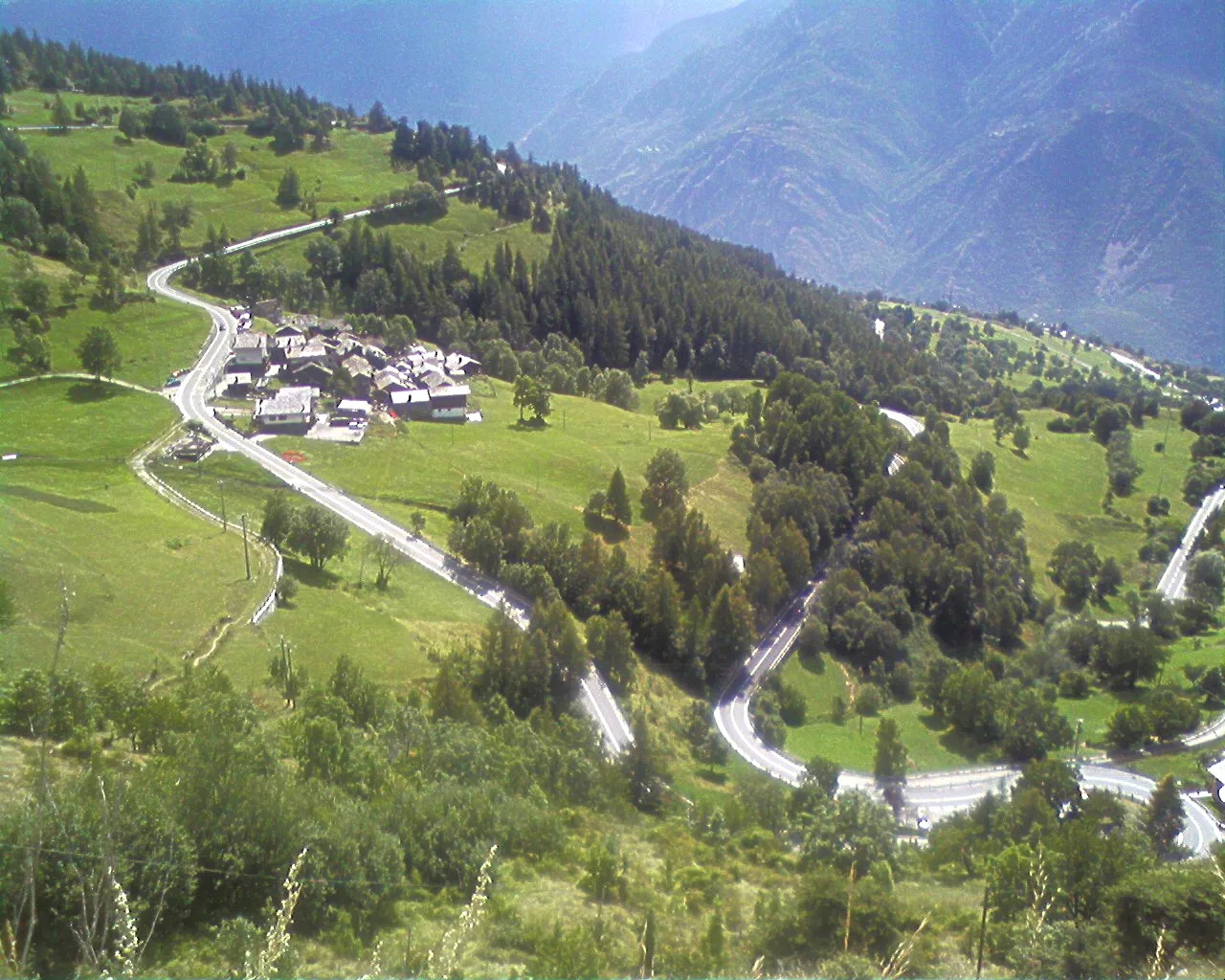
High-level traverse from Vedun (1519m) to Jovençan (1868m) in the Valdigne: 6 km through historic pastures with Mont Blanc as backdrop.
Valle centrale
7.2 km · +1009 m · EE — from Vetan to Col Palettaz (Central Valley).
Valle del Gran San Bernardo
2.9 km · +151 m · E — from Lassy damon to Visaille (Great St Bernard Valley).