
E
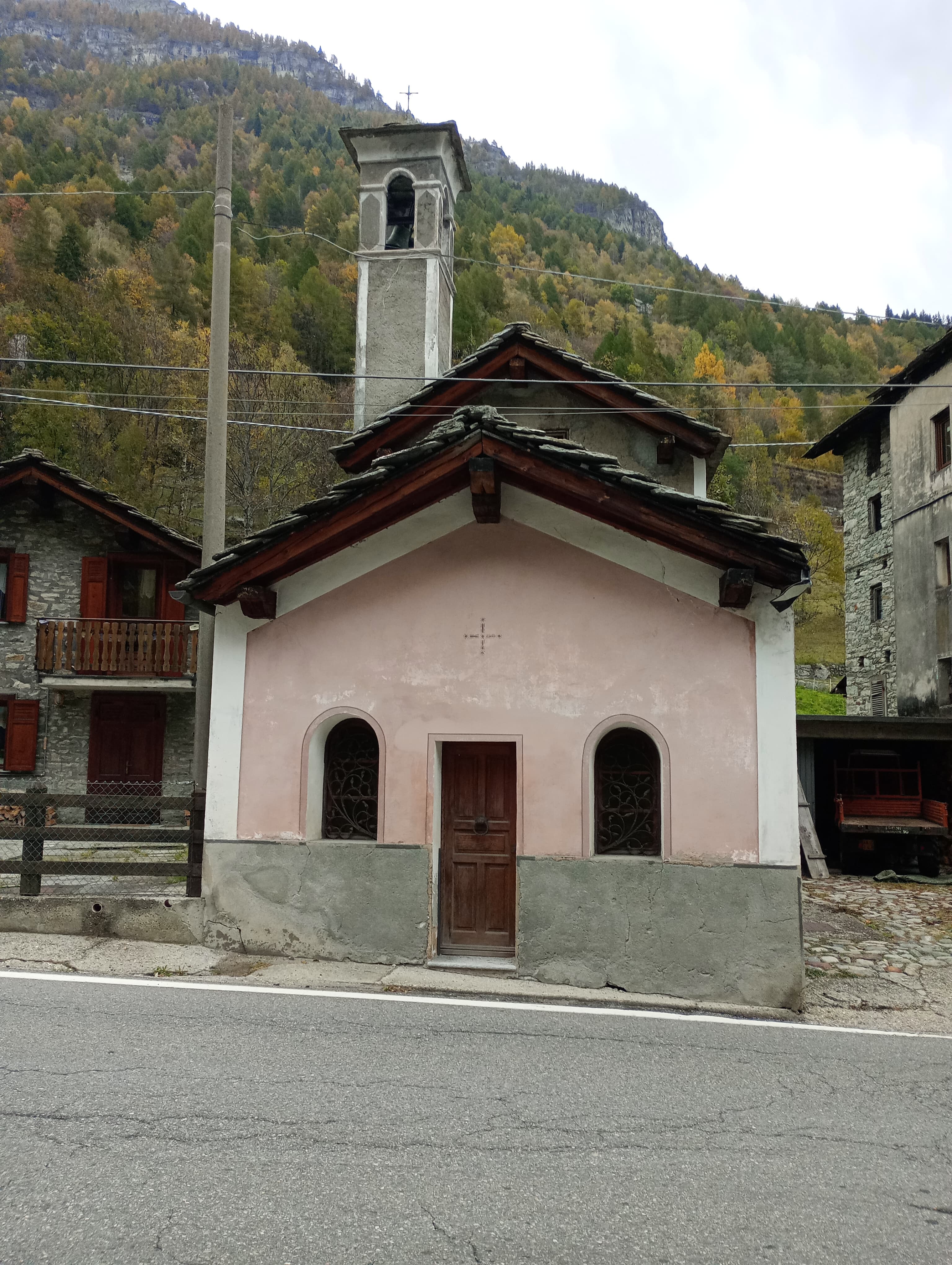
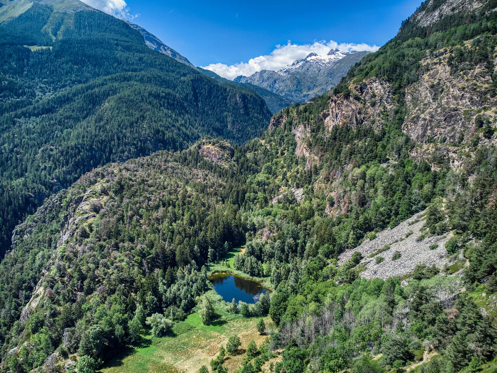
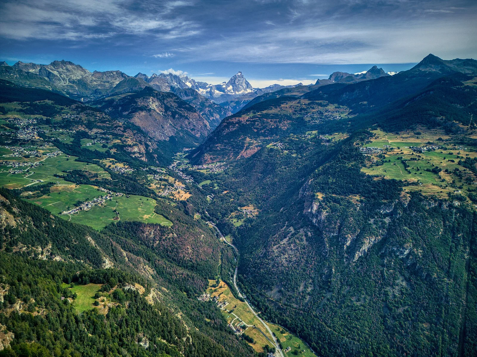
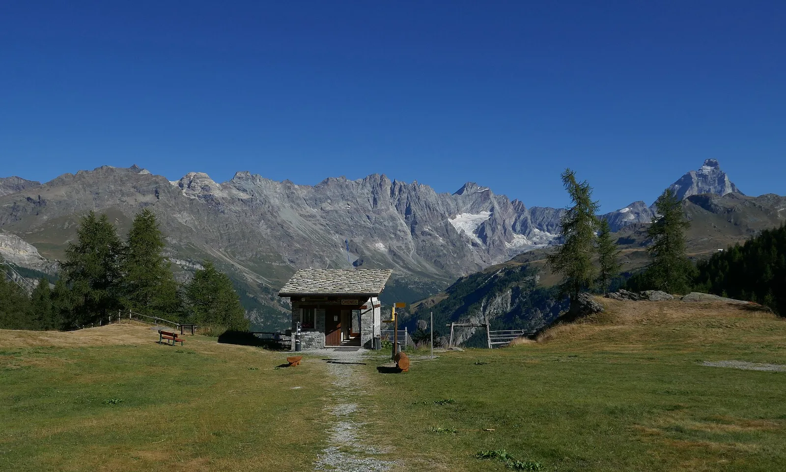
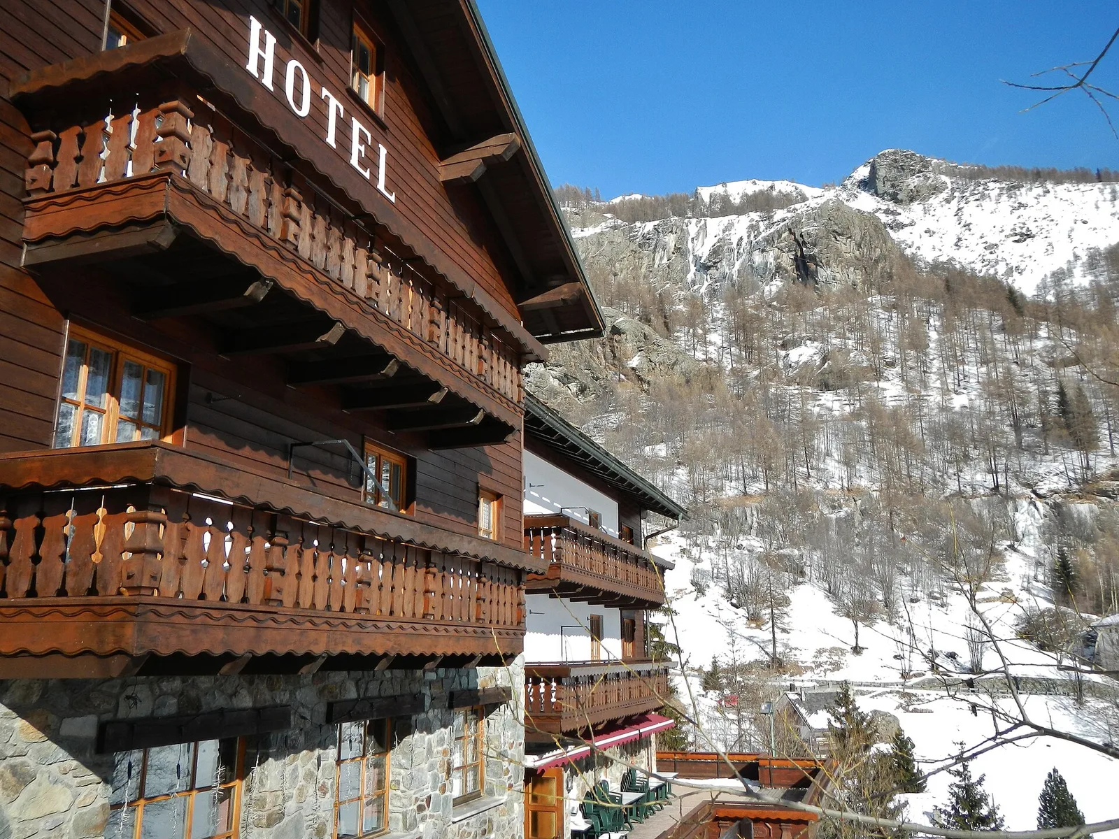
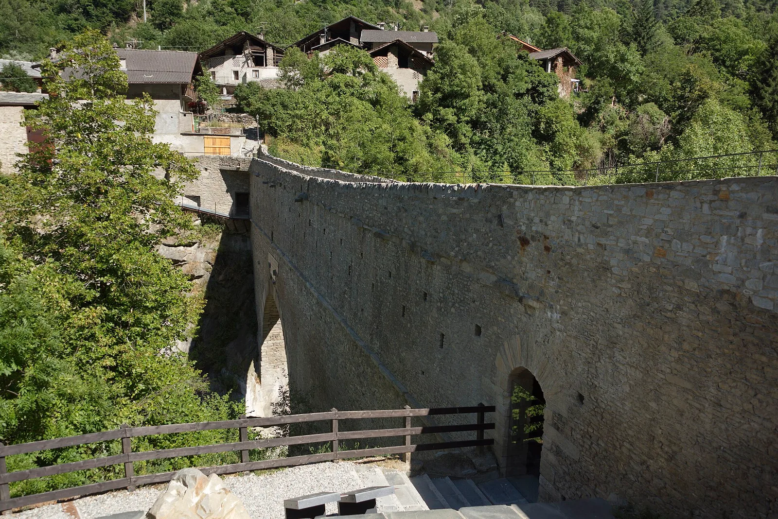
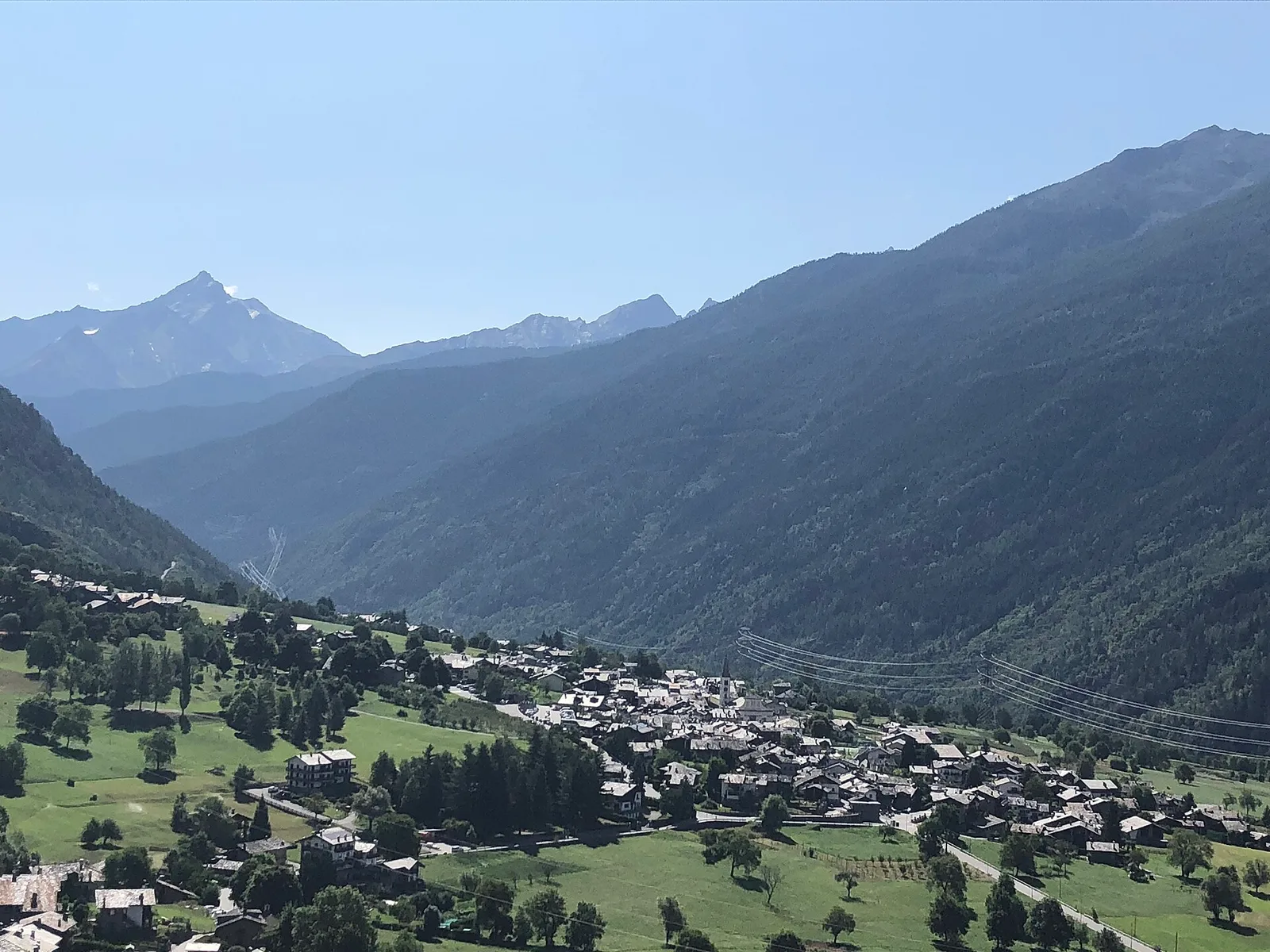
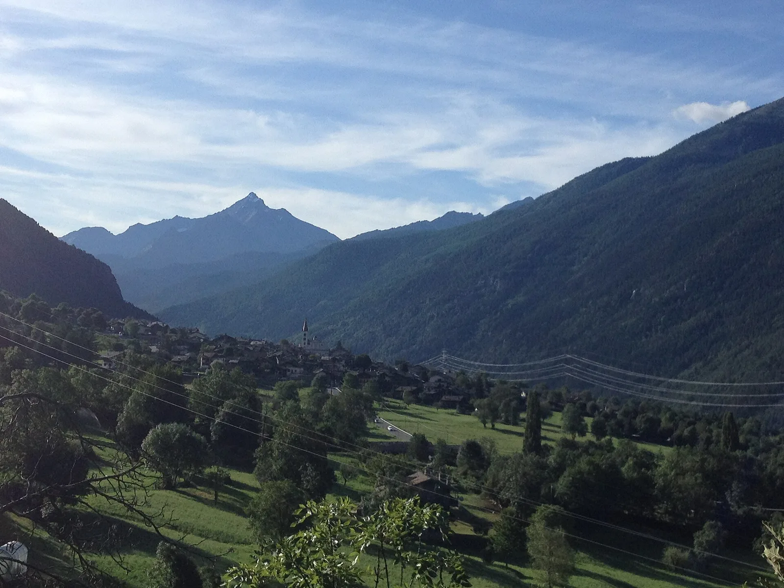
Val di Rhêmes
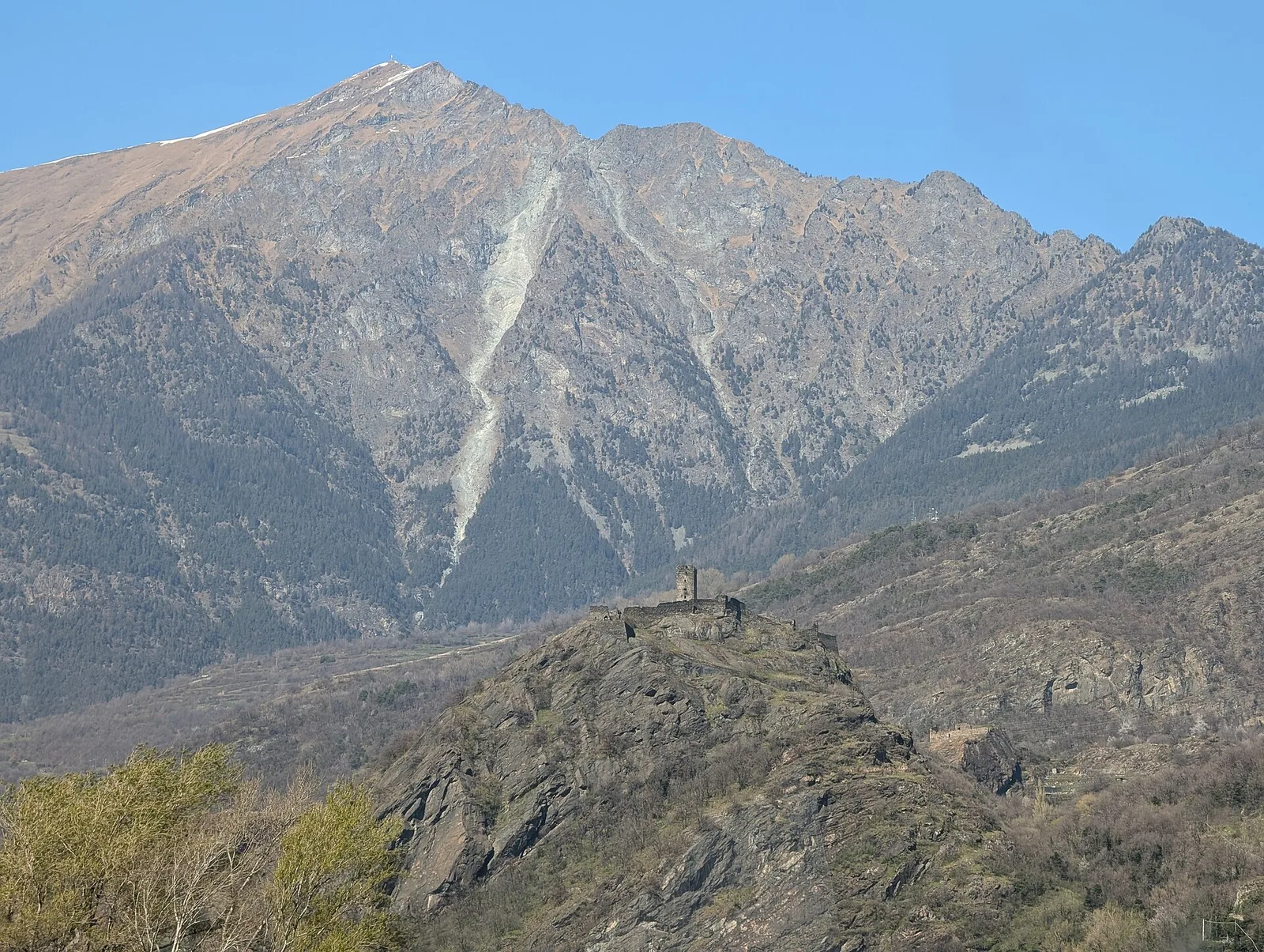
Anello del Verrand
2.6 km · +233 m · E — from Château Verrand to Château Verrand (Rhêmes Valley).
2.6 km+233 m1 h
Where to spot
70 trails where Common buzzard is listed in flora/fauna: difficulty T–EEA, elevation gain 0–1593 m.
70 · 0.2–17.4 km · +0–1593 m
Val di Rhêmes
2.6 km · +233 m · E — from Château Verrand to Château Verrand (Rhêmes Valley).

Valle centrale
4.1 km · +476 m · E — from Area giochi Croux to Parleyaz (Central Valley).
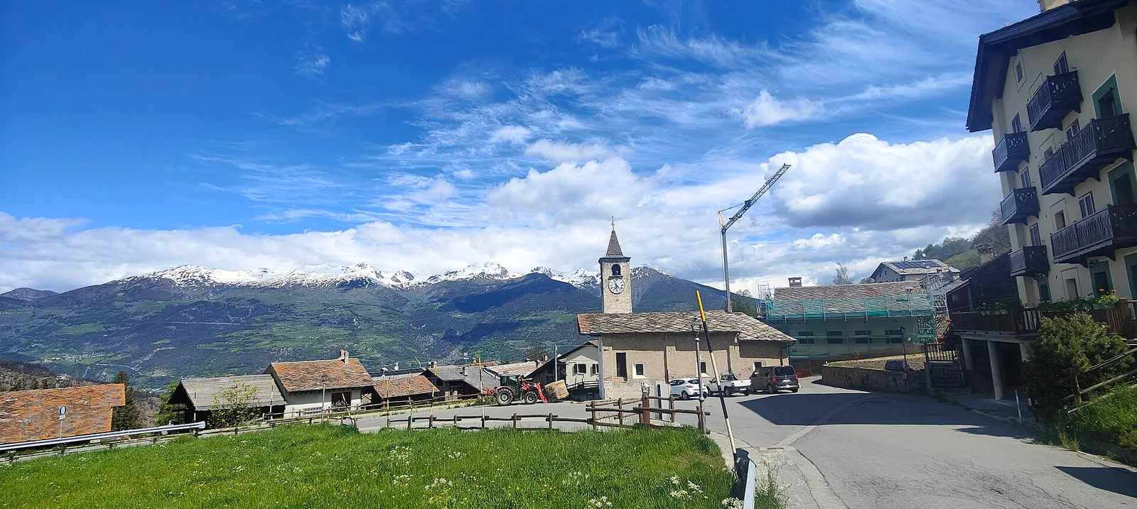
Valdigne
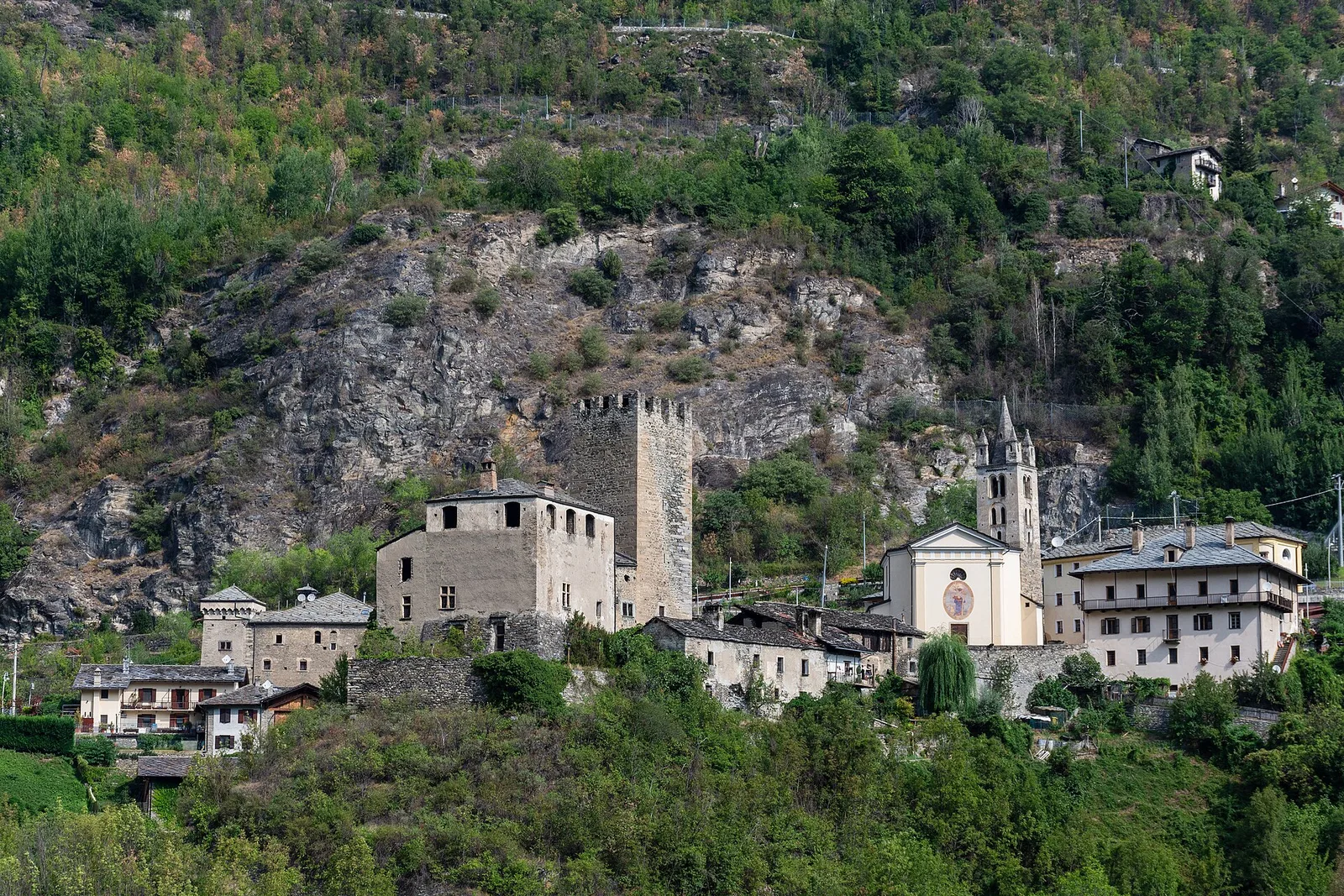
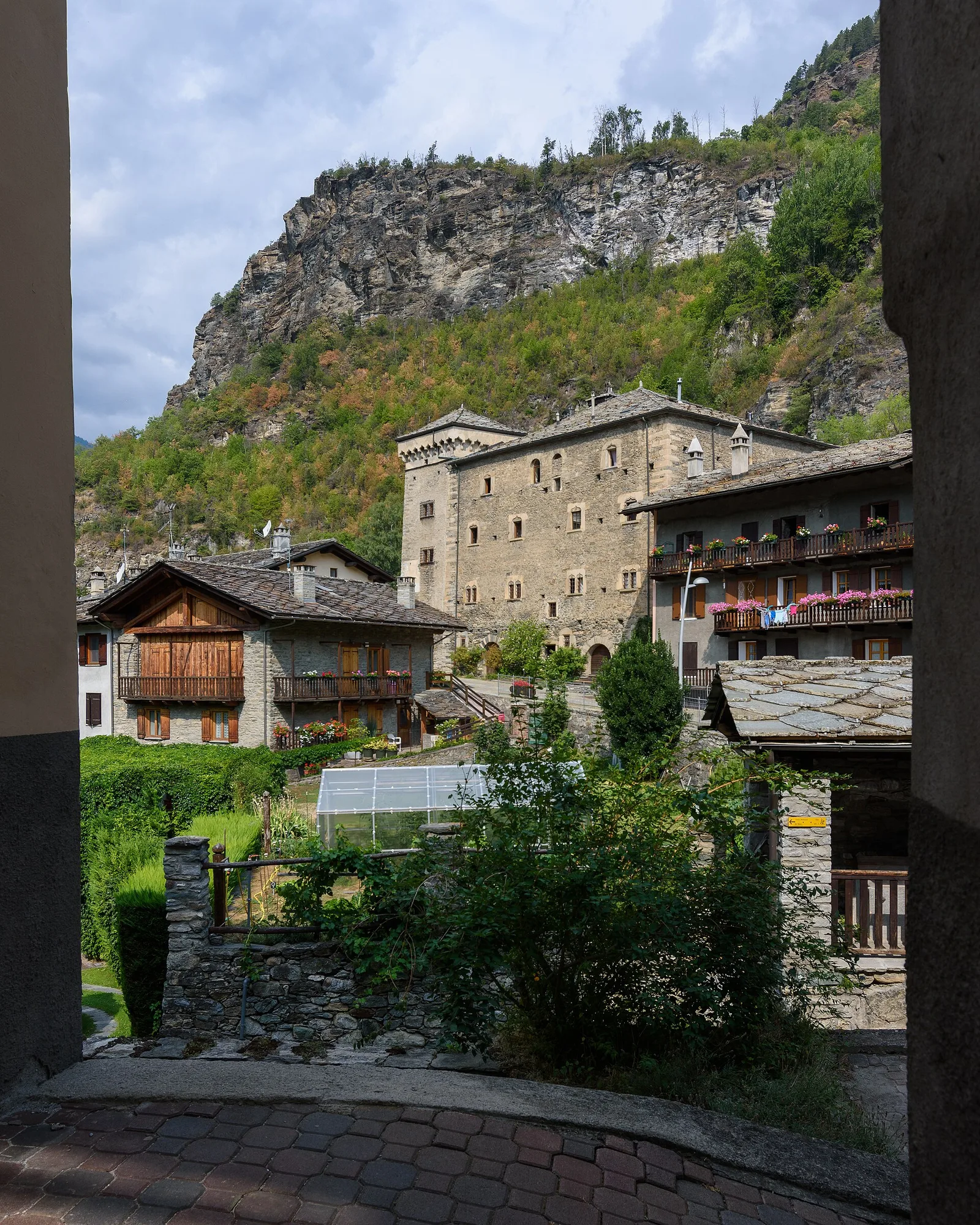
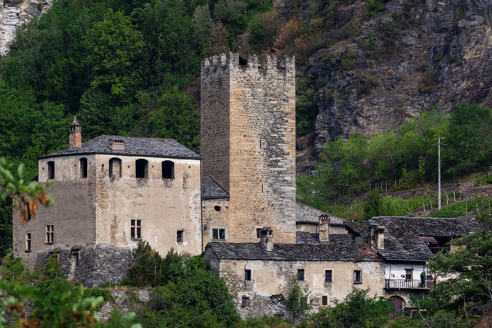
2.6 km · +491 m · E — from Avise to Charbonnière (Valdigne).
Valdigne
In the Valdigne, La Salle: an E-rated route through forest and pasture with views of Mont Blanc.
Valdigne
From Avise to Cerellaz via Ravoire on the sunny Valdigne hillside: 3 km and 479 m through vineyards, woodland and meadows. Part of the Via Alpina.
Valdigne
2.8 km · +431 m · E — from Avise to St-Nicolas (Valdigne).
Valle centrale
2.5 km · +390 m · E — from Bachaud to Rumiod la Chapelle (Remiod) (Central Valley).
Valle centrale
Vallone delle Cime Bianche, commune of Ayas: an EE route through one of the most pristine high-altitude environments of the Val d'Ayas.
Valtournenche
1.7 km · +275 m · E — from Bourg de Chambave to Chateau de Cly (Valtournenche).
Valtournenche
A long traverse through Valtournenche from the vineyards of Bourg (1,078 m) to the pastures of Maen (1,991 m), with views toward the Matterhorn.
Valtournenche
Easy walk from Bourg to Brengon (La Magdeleine) through historic Valtournenche hamlets: 3.7 km and just 188 m of ascent. Base for the Brengon-Parapromiat via ferrata.
Valtournenche
6.1 km · +965 m · E — from Bourg to Verale (Valtournenche).
Valle centrale
1.8 km · +21 m · T — from N.D. to N.D. (Central Valley).
Valle centrale
6.6 km · +0 m · EE — from Capiron to Gettaz (Central Valley).
Valle del Gran San Bernardo
0.6 km · +80 m · E — from Start 7B to Cascate di Niel (Great St Bernard Valley).
Valle centrale
4 km · +720 m · E — from Chambave to Del (Central Valley).

Valpelline
From Chamin (1,732 m) to the Bivacco della Sassa (2,964 m) in the quiet Valpelline: 7.1 km and 1,246 m of ascent.
Val di Cogne
From Champsolin to Serignan (1190 m) through terraced vineyards and rural hamlets: the trail that tells the story of Val di Cogne's wine landscape.
Valdigne
5.2 km · +959 m · E — from Via Chanoux to Promiod (Valdigne).
Valtournenche
2.4 km · +458 m · E — from Col de Joux to Testa di Comagna (Valtournenche).
Valle del Lys
1.8 km · +219 m · E — from Cossèi to Belvedere Tsan (Lys Valley).
Valtournenche
2.9 km · +832 m · EE — from Dublanc to Tete du Mont (Valtournenche).
Valle del Gran San Bernardo
2.9 km · +0 m · E — from Erésaz to Abay (Great St Bernard Valley).
Valle del Gran San Bernardo
0.4 km · +0 m · E — from Erésaz to Grand Hoel (Great St Bernard Valley).
Valle centrale
0.2 km · +0 m · E — from Tornante presso Fossaz to Zona Calanchi (Central Valley).
Valtournenche
3.5 km · +623 m · E — from Gouilles to Del (Valtournenche).
Valgrisenche
0.8 km · +0 m · E — from Grand Haury to Castello Montmayeur (Valgrisenche).

Valgrisenche
2 km · +207 m · E — from La Ravoire to Castello di Montmayeur (Valgrisenche).
Valgrisenche
1.5 km · +245 m · E — from La Ravoire to Lolair (Valgrisenche).
Valle centrale
4.8 km · +1248 m · E — from Le Miriou to Punta Prial (Central Valley).
Valgrisenche
In the Valgrisenche, Arvier: a steady E-rated climb through forest and meadows toward upper pastures.
Valgrisenche
From the Valgrisenche valley floor at Leverogne (721 m) to the hilltop village of Saint-Nicolas (1,203 m): 3.4 km and 499 m of ascent.
Valtournenche
1 km · +245 m · E — from Lies to Bosco di protezione (Valtournenche).
Valpelline
5.2 km · +408 m · E — from Lignan to Praz (Valpelline).
Valle centrale
2.3 km · +592 m · E — from Lillianes to Sainte-Marguerite (Central Valley).
Valle centrale
2.1 km · +261 m · E — from Liveroulaz to Fossaz (Central Valley).
Valle centrale
2.2 km · +263 m · E — from Liveroulaz to Chaillod (Central Valley).
Valle centrale
5.6 km · +793 m · E — from Lo Pian to Covarey (Parcheggio) (Central Valley).
Valtournenche
0.5 km · +135 m · E — from Località Champette to innesto sentiero 6 A (Valtournenche).
Valle centrale
2.3 km · +326 m · E — from Marine to Varfey (Central Valley).
Val d'Ayas
3 km · +259 m · E — from Mayn to Curien (Ayas Valley).
Valpelline
6.2 km · +910 m · E — from Châté to Mont Méabé (Valpelline).
Valpelline
4.3 km · +591 m · E — from Nus to Blavy (Valpelline).
Valpelline
6.1 km · +1205 m · E — from Capoluogo to Bivacco Regondi (Valpelline).
Valle centrale
7.2 km · +1422 m · EE — from Paquier to Becca d'Aran (Central Valley).
Val di Rhêmes
1.2 km · +124 m · E — from Petit-Palleussieux to Château Verrand (Rhêmes Valley).
Valtournenche
3.9 km · +896 m · E — from Pingaz to Torlin dessus (Valtournenche).
Val d'Ayas
0.6 km · +266 m · E — from Issime (parco giochi) to Pirubeck (Ayas Valley).
Valle centrale
1.5 km · +163 m · E — from Plan de la Glaea to Gouffres de Bousserailles (Central Valley).
Val d'Ayas
3.7 km · +471 m · E — from Pont to Montcorvé (Ayas Valley).
Val d'Ayas
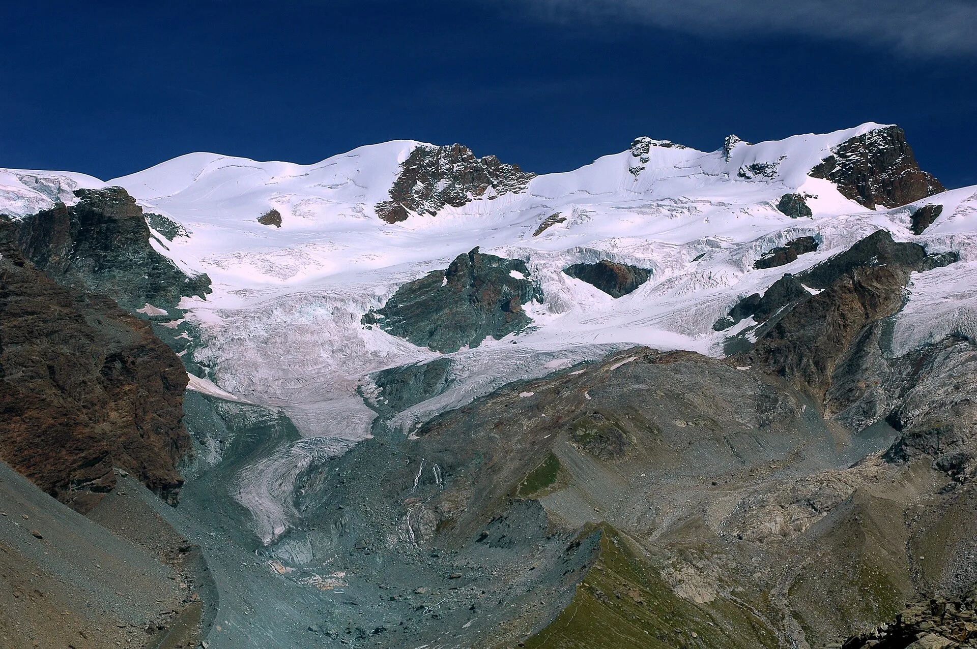
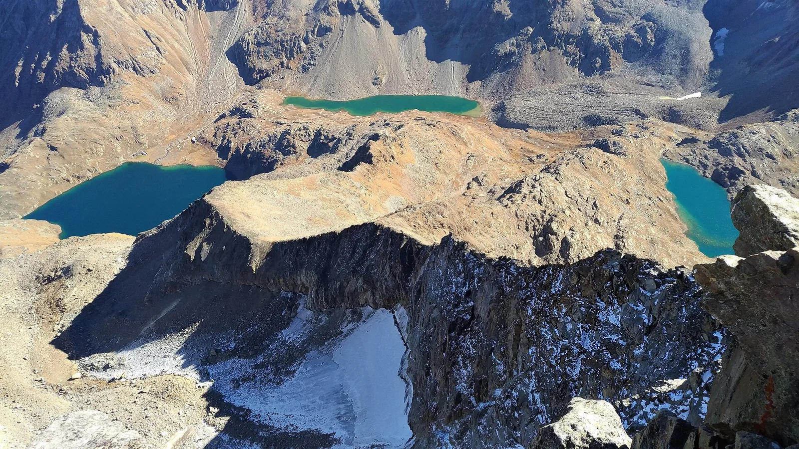
From Pont de Messuere (1425m) to Corno Boussolaz (3023m) via Lago Bringuez: 6.4 km EE with 1593 m of ascent, one of Val d'Ayas's most demanding routes.
Valgrisenche
2.5 km · +497 m · E — from Pont-Avisod to Ville-Sur-Sarre (Valgrisenche).
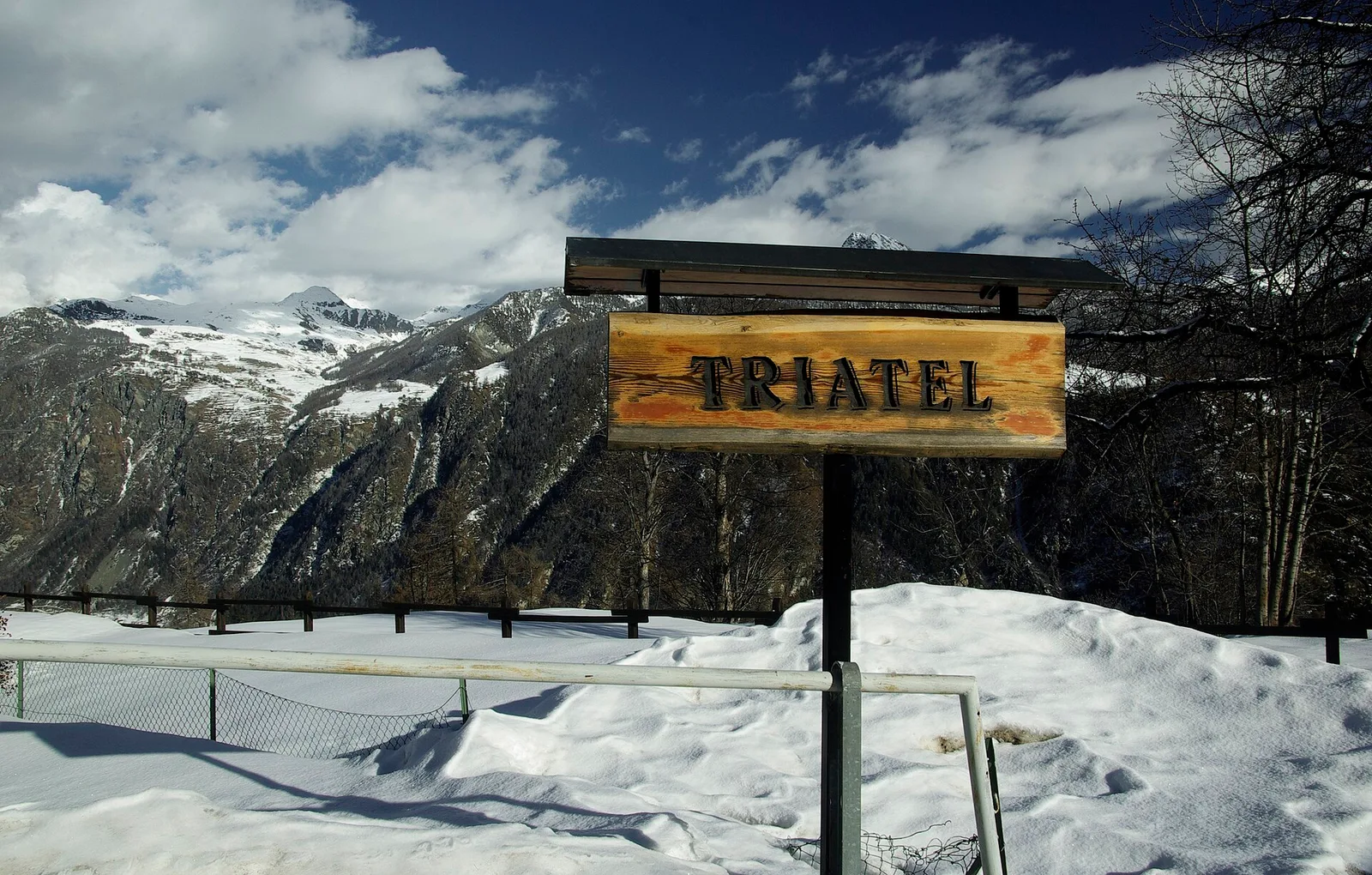
Valpelline
2.7 km · +556 m · E — from Confine comunale Antey -Torgnon to Triatel (Valpelline).
Valtournenche
5 km · +873 m · E — from Pramotton to Innesto Baraton (Valtournenche).
Valle centrale
10.4 km · +67 m · E — from Reysod to Etroubles (Central Valley).
Valpelline
Rifugio Prarayer (2002 m) to Rifugio Aosta (2790 m), upper Valpelline. EEA route across glacial terrain; harness, ice axe and crampons required.
Valtournenche
2.6 km · +828 m · E — from Rovarey to Jas Dèsot (Valtournenche).
Valle centrale
3.1 km · +442 m · E — from Saint-Denis to Del (Central Valley).
Valle centrale
4.7 km · +880 m · E — from Sainte-Marguerite to Col de Carisey (Central Valley).
Valpelline
4.5 km · +1016 m · EE — from Servaz to Cima Bianca (Valpelline).
Val di Cogne
0.7 km · +179 m · E — from Strada regionale 47 to Serignan (Cogne Valley).
Valle del Lys
7.5 km · +0 m · E — from Rifugio Sogno di Berzé to Rifugio Dondena (Lys Valley).
Valle centrale
13.8 km · +0 m · E — from Echevennoz to Aosta centro (Central Valley).
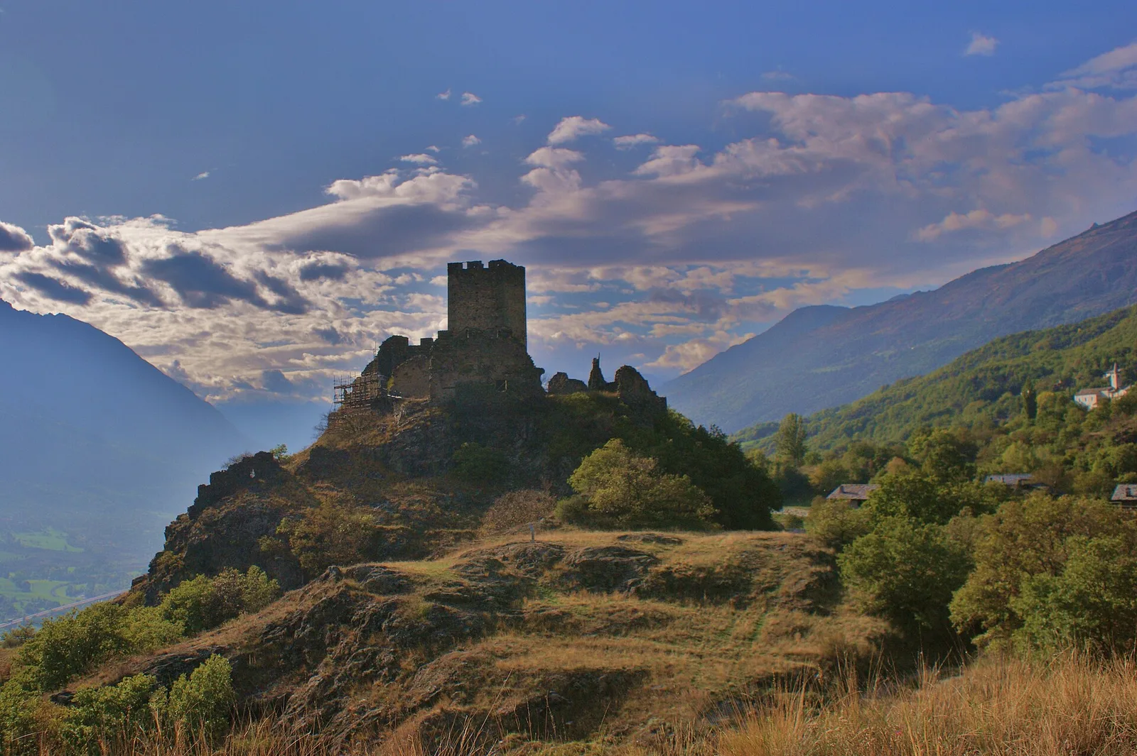
Val di Rhêmes
11.9 km · +0 m · E — from Castello di Quart to Chiesa di Diemoz (Rhêmes Valley).
Valtournenche
2.4 km · +310 m · E — from Tenso to Strada per Bellecombe (Valtournenche).
Valtournenche
3.3 km · +597 m · E — from Terme to Banqueun (Valtournenche).
Valtournenche
2.5 km · +231 m · E — from Valpelline capoluogo to Crête (Valtournenche).
Valle centrale
2.9 km · +466 m · E — from Veyves to Parleyaz (Central Valley).
Valle centrale
2.4 km · +196 m · E — from Villair to Château de Châtelard (Central Valley).
Valle centrale
1.4 km · +174 m · E — from Villair to Château de Châtelard (Central Valley).