
E
Val d'Ayas
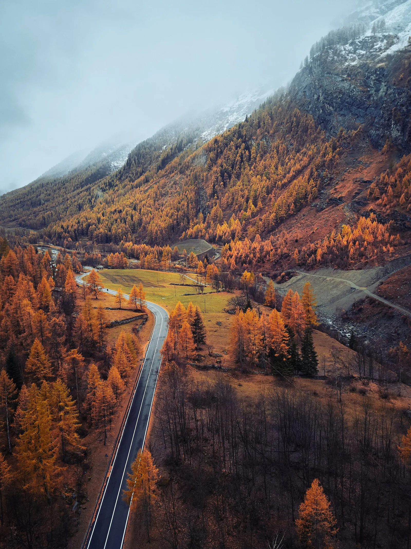
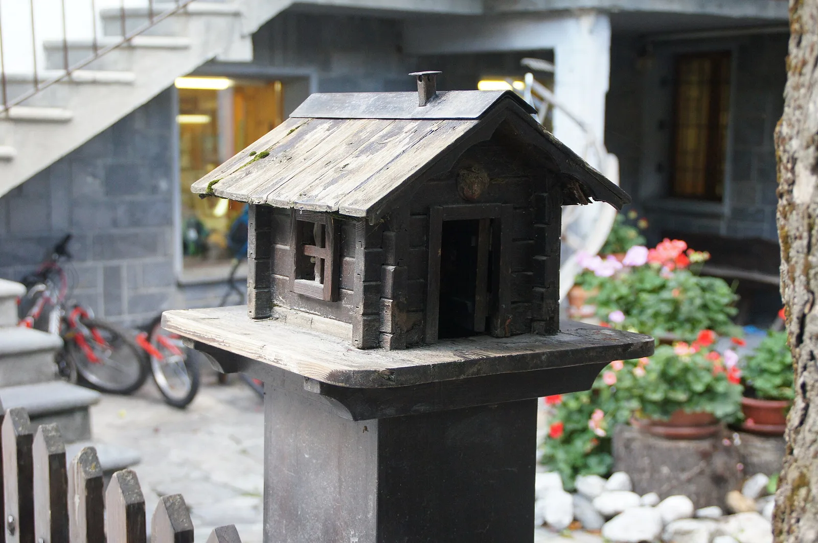
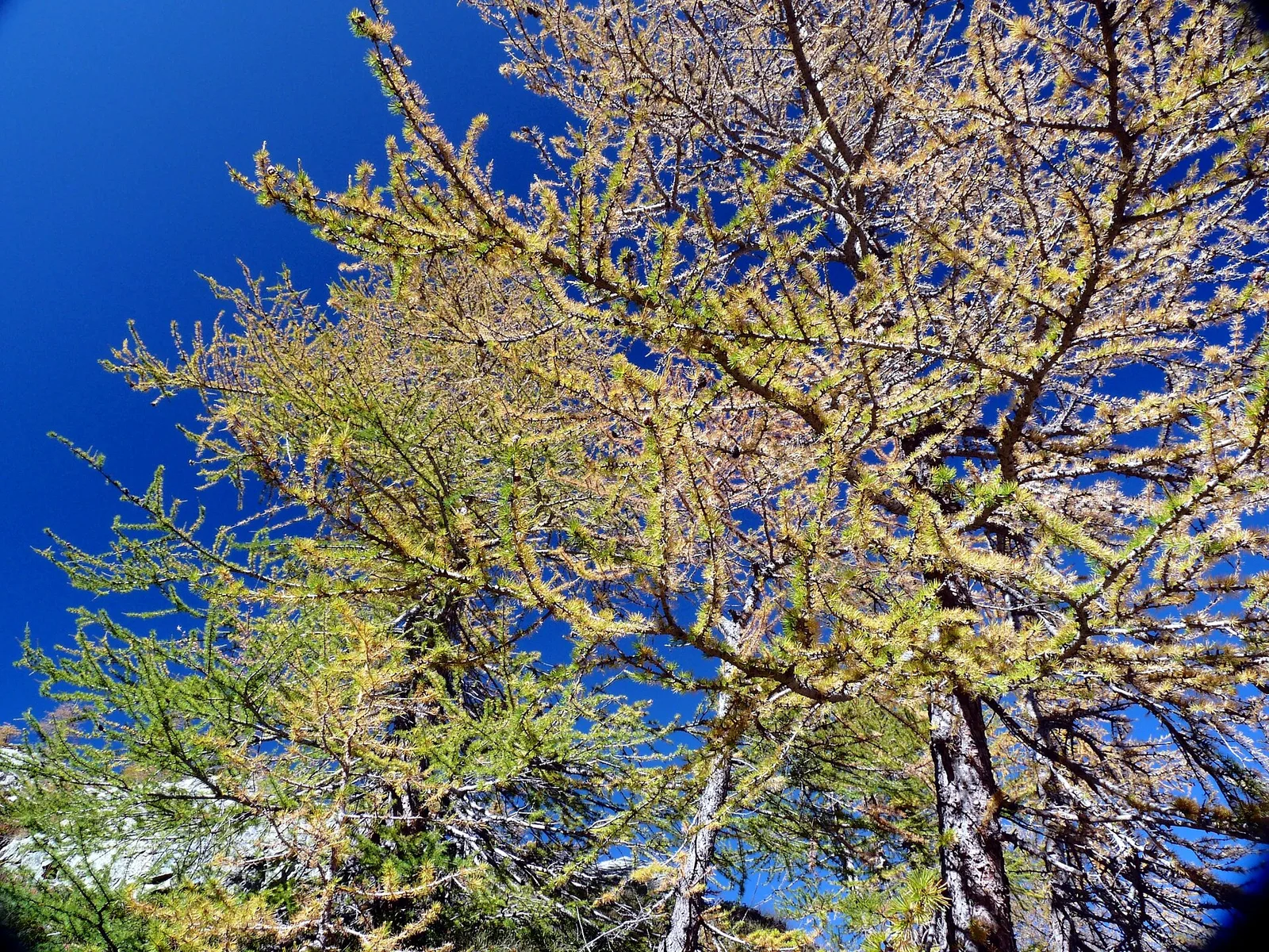
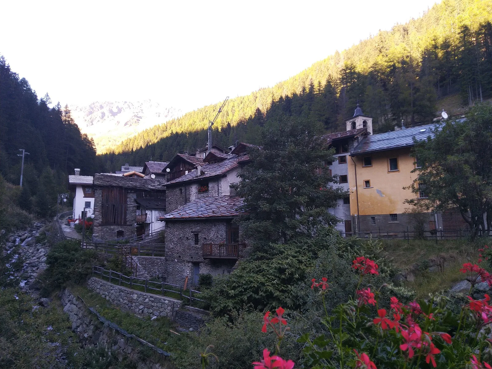
Amponey - Alpe Mascognaz
1.8 km · +309 m · E — from Amponey to Alpe Mascognaz (Central Valley).
1.8 km+309 m1 h
Where to spot
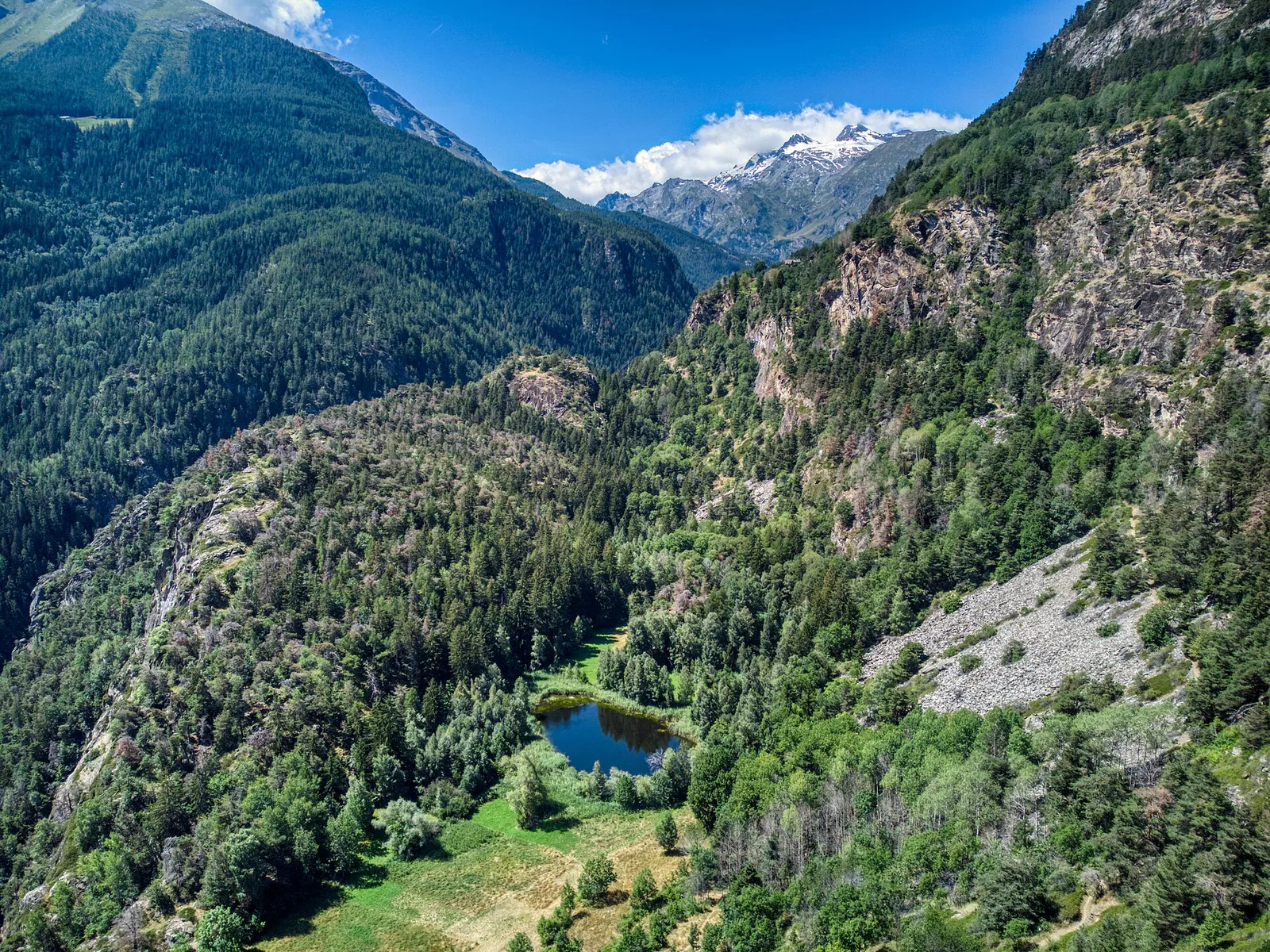
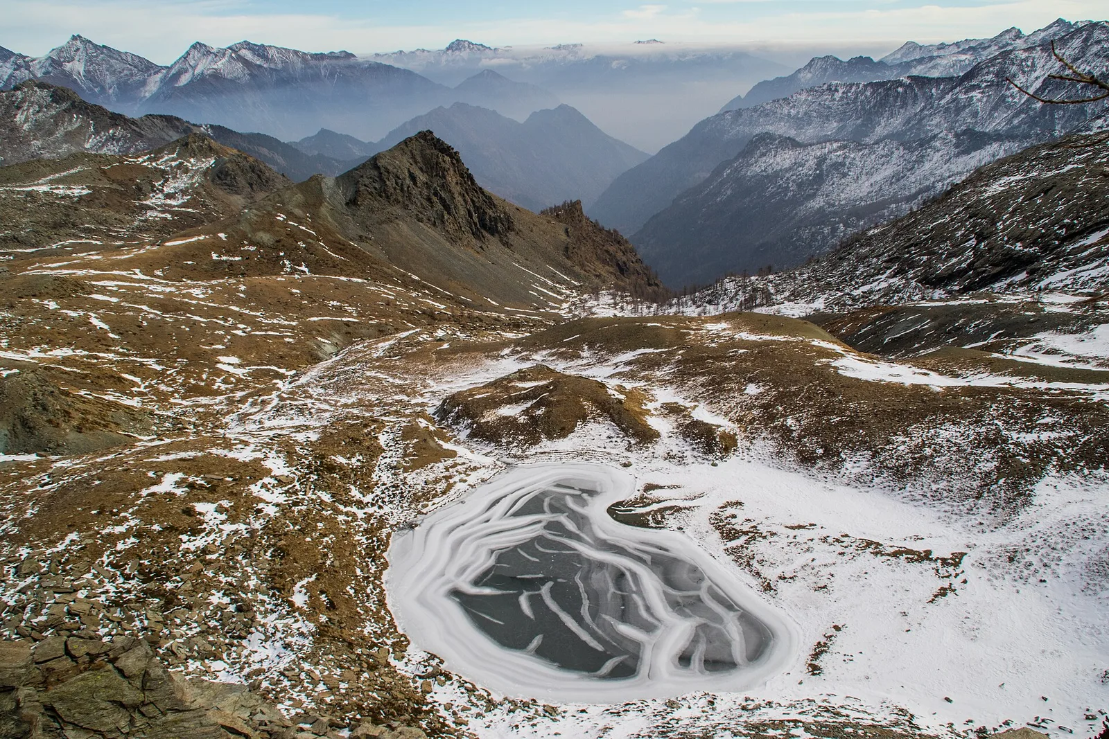
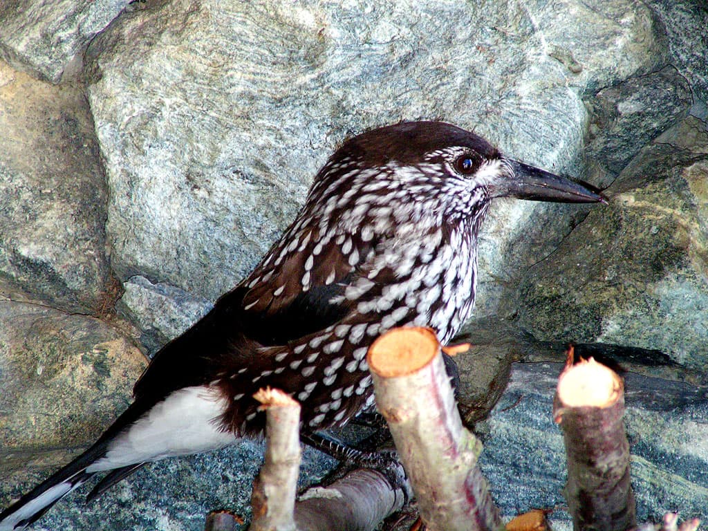
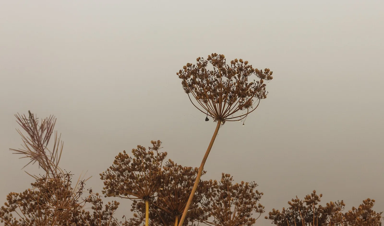
50 trails where Martagon lily is listed in flora/fauna: difficulty T–EE, elevation gain 0–1766 m.
50 · 0.5–10.7 km · +0–1766 m
Val d'Ayas
1.8 km · +309 m · E — from Amponey to Alpe Mascognaz (Central Valley).
Valle centrale
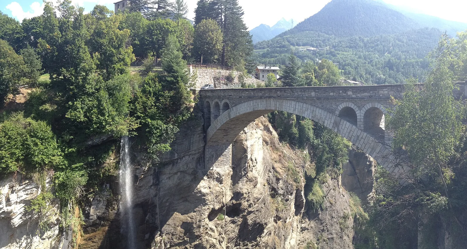
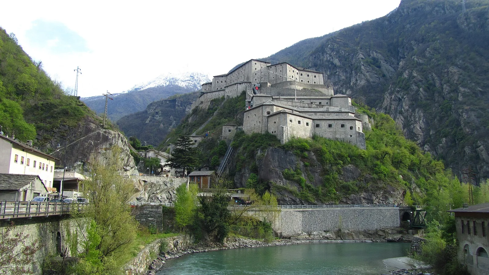
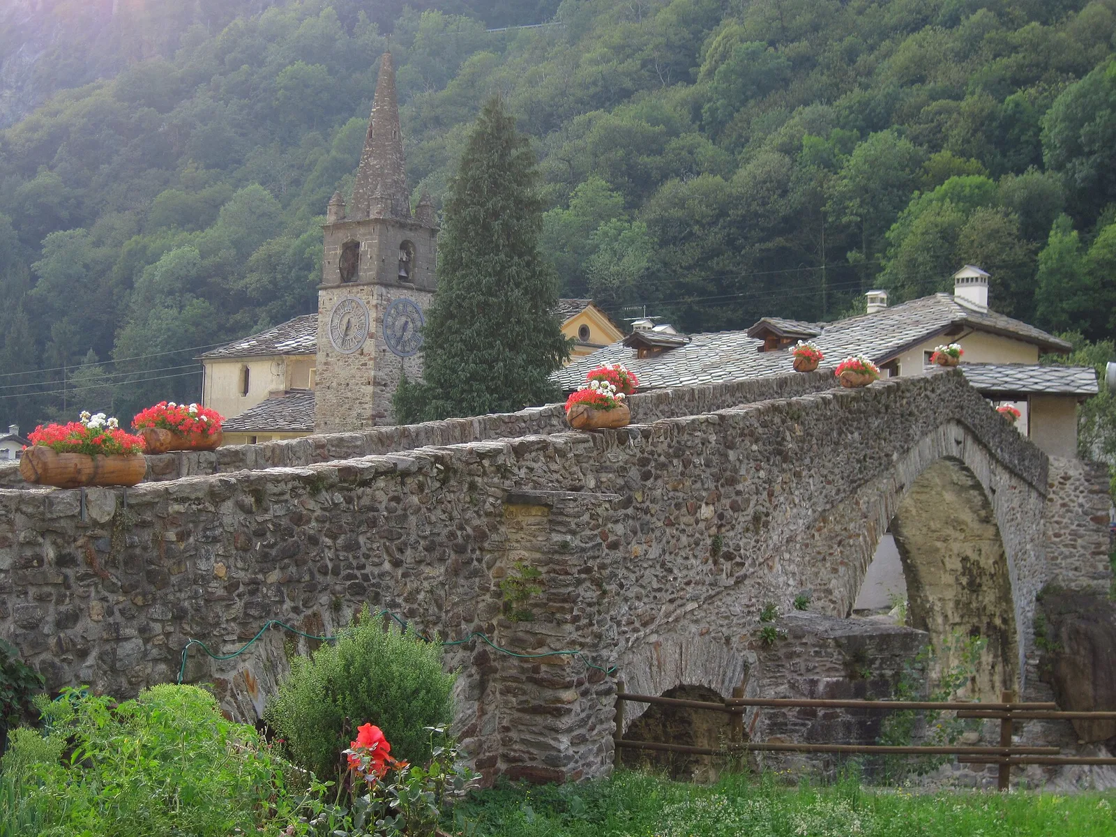
From Moulin to Pont d'Ael (885 m): a short walk to a 3 BC Roman aqueduct bridge, one of the finest preserved in the Alps.
Valle centrale
5.5 km · +786 m · E — from Bellecombe to Alpe Valmeriana (Valdigne).
Valtournenche
1.8 km · +21 m · T — from N.D. to N.D. (Central Valley).
Val d'Ayas
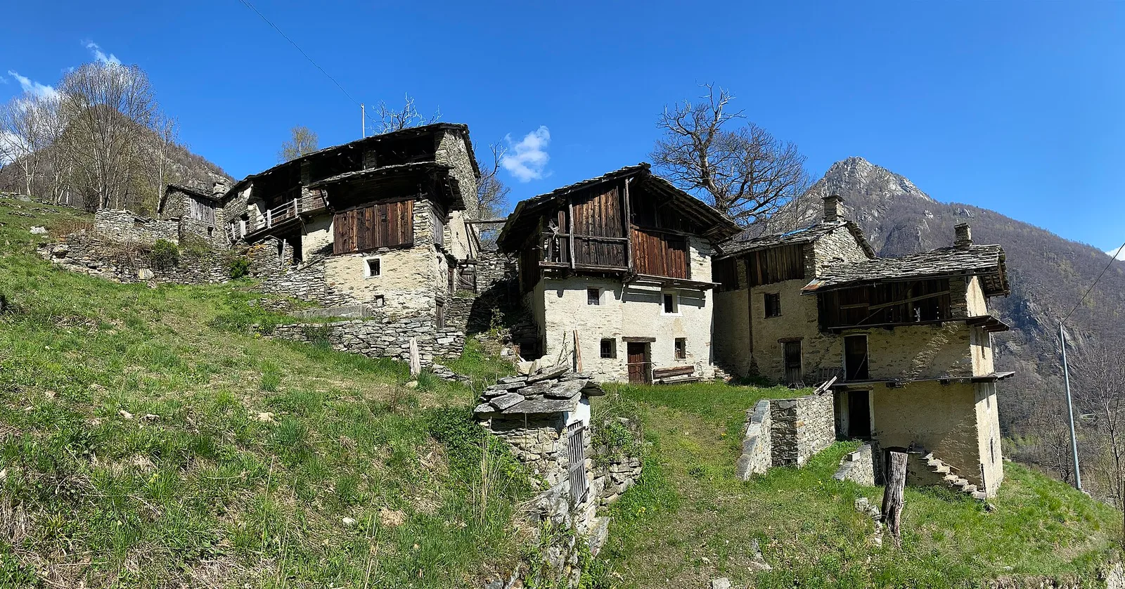
Upper Val d'Ayas, Brusson: a route toward a panoramic objective over open terrain.
Valle del Lys
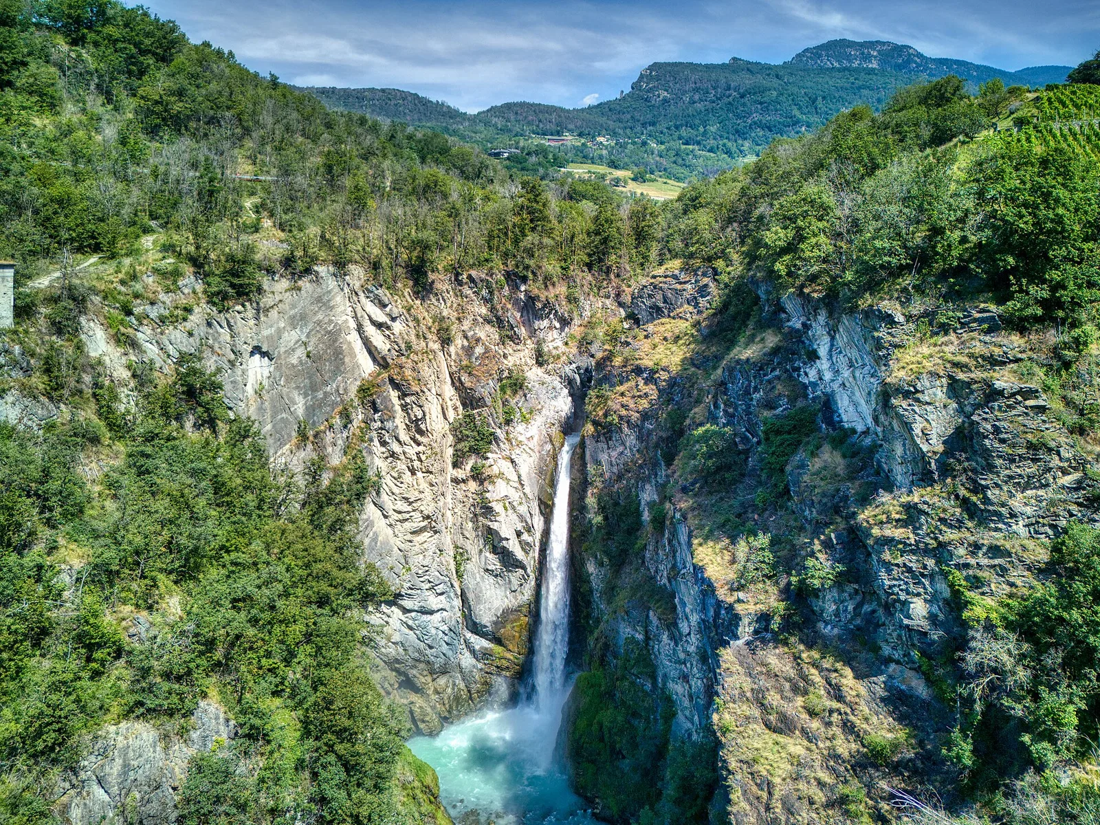
0.6 km · +80 m · E — from Start 7B to Cascate di Niel (Great St Bernard Valley).
Valle centrale
2 km · +275 m · E — from Cerellaz to Vedun (Valdigne).
Val di Rhêmes
6.4 km · +210 m · E — from Chanavey to Thumel (Great St Bernard Valley).
Valle di Champorcher
4.8 km · +647 m · E — from Chardonney to Parcheggio Dondena (Sentiero Scalette) (Valtournenche).
Valle centrale
1.8 km · +219 m · E — from Cossèi to Belvedere Tsan (Lys Valley).
Valle centrale
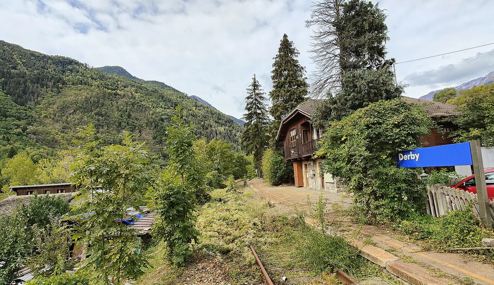
5.2 km · +715 m · E — from Derby, Chiesa to Lazey (La Thuile).

Valle del Gran San Bernardo
From Ville di Allein, an honest climb through pastures and larch woods to the Dortoir Baravex refuge at 1938 m, in the Great St Bernard valley.
Valle di Champorcher
1.4 km · +297 m · EE — from Echelly to Grand-Rosier (Valtournenche).
Val d'Ayas
0.7 km · +133 m · E — from Erésaz to Borna da Ghiasa (Great St Bernard Valley).
Valsavarenche
5.1 km · +233 m · T — from Fenille to Degioz (Ayas Valley).
Bassa Valle
2.5 km · +373 m · E — from Fey to Piatolet (Central Valley).
Valle centrale
4.2 km · +453 m · E — from Fossaz to Cerlogne (Central Valley).
Valle centrale
3.5 km · +432 m · E — from Fossaz to Gerbore (Central Valley).
Valle centrale
7.4 km · +1321 m · E — from Hermitage to Verrand (Great St Bernard Valley).
Valle centrale
2 km · +207 m · E — from La Ravoire to Castello di Montmayeur (Valgrisenche).
Valtournenche
1 km · +245 m · E — from Lies to Bosco di protezione (Valtournenche).
Valle centrale
5.2 km · +408 m · E — from Lignan to Praz (Valpelline).
Bassa Valle
7.6 km · +1544 m · E — from Lo Pian to Arvueil (Central Valley).
Valle di Champorcher
9.5 km · +1766 m · E — from Monteil to Col Pousseuil (Valtournenche).
Val di Cogne
0.9 km · +104 m · E — from Montroz to Gimillan (Lys Valley).
Valle centrale
7.9 km · +832 m · E — from Morgex, sentiero 8, quota 950 to Petosan (Central Valley).
Val d'Ayas
2 km · +282 m · E — from Nabian to Barmata (Ayas Valley).
Val d'Ayas
3 km · +493 m · E — from Orbeillaz to Col Tzecore (Ayas Valley).
Valtournenche
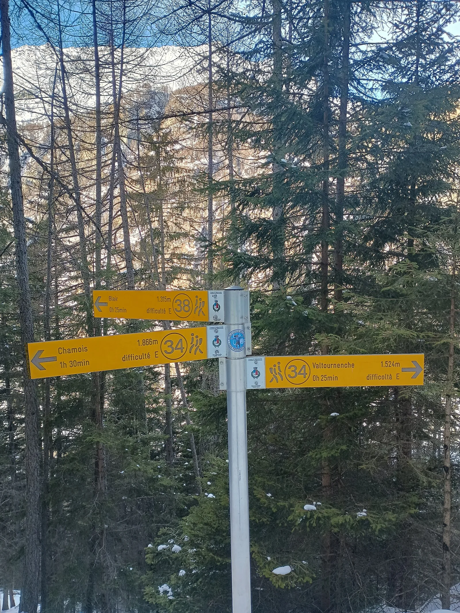
5 km · +296 m · E — from Paquier to Chamois (Central Valley).
Valle del Gran San Bernardo
4.3 km · +562 m · E — from Petit-Buthier to Alpe Ars (Central Valley).
Valle di Champorcher
2.6 km · +507 m · EE — from Petit-Rosier to Col d'Arcomy (Valtournenche).
Valle del Lys
3.9 km · +226 m · T — from Piazzale Colletesand to Staffal (Lys Valley).
Valpelline
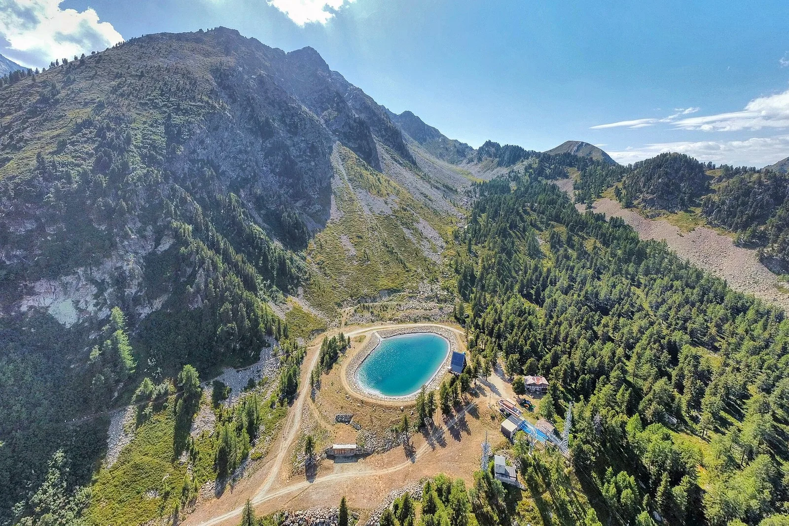
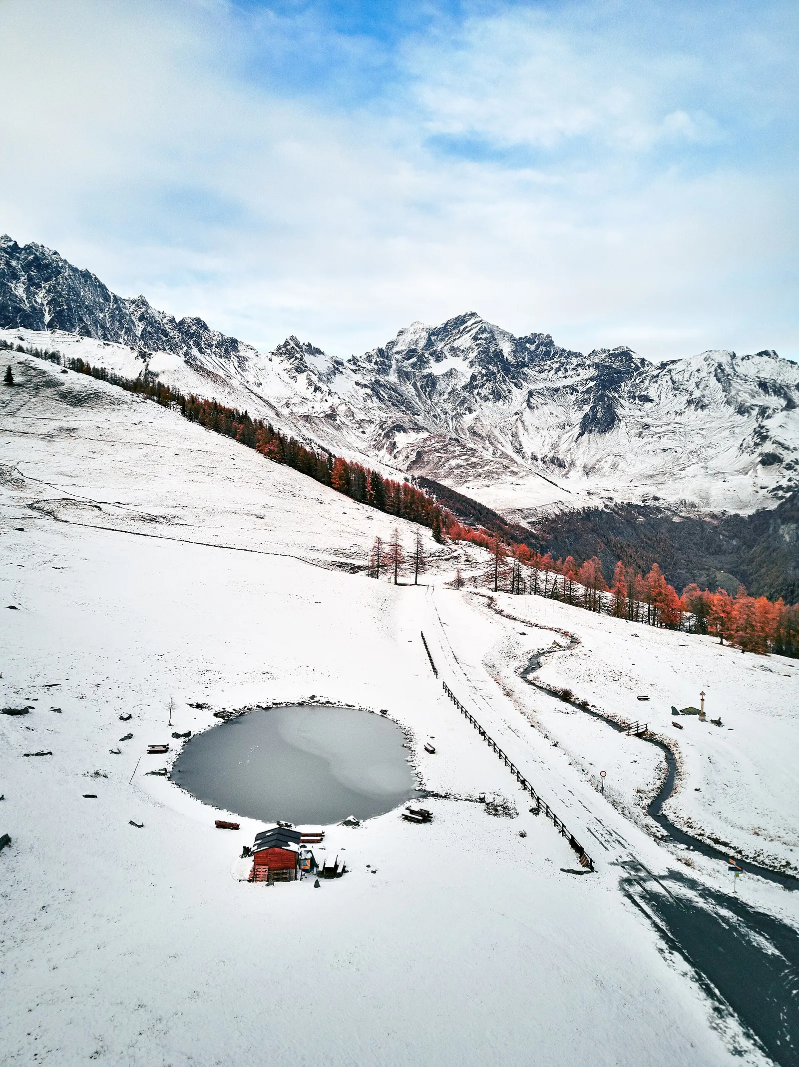
Along Lake Place-Moulin to Rifugio Prarayer (trail 9-10), Bionaz: 4.6 km, almost flat, T. A walk for everyone.
Valle di Champorcher
8.2 km · +936 m · E — from Pommier to Plan Clavalité (Lys Valley).
Valle centrale
3 km · +795 m · E — from Pompiod to Torlin desot (cappella)- Raccordo 38_S6 (Valtournenche).
Valtournenche
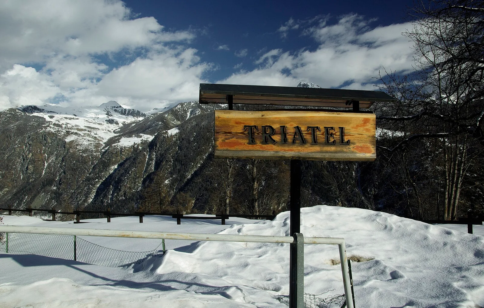
2.7 km · +556 m · E — from Confine comunale Antey -Torgnon to Triatel (Valpelline).
Valle centrale
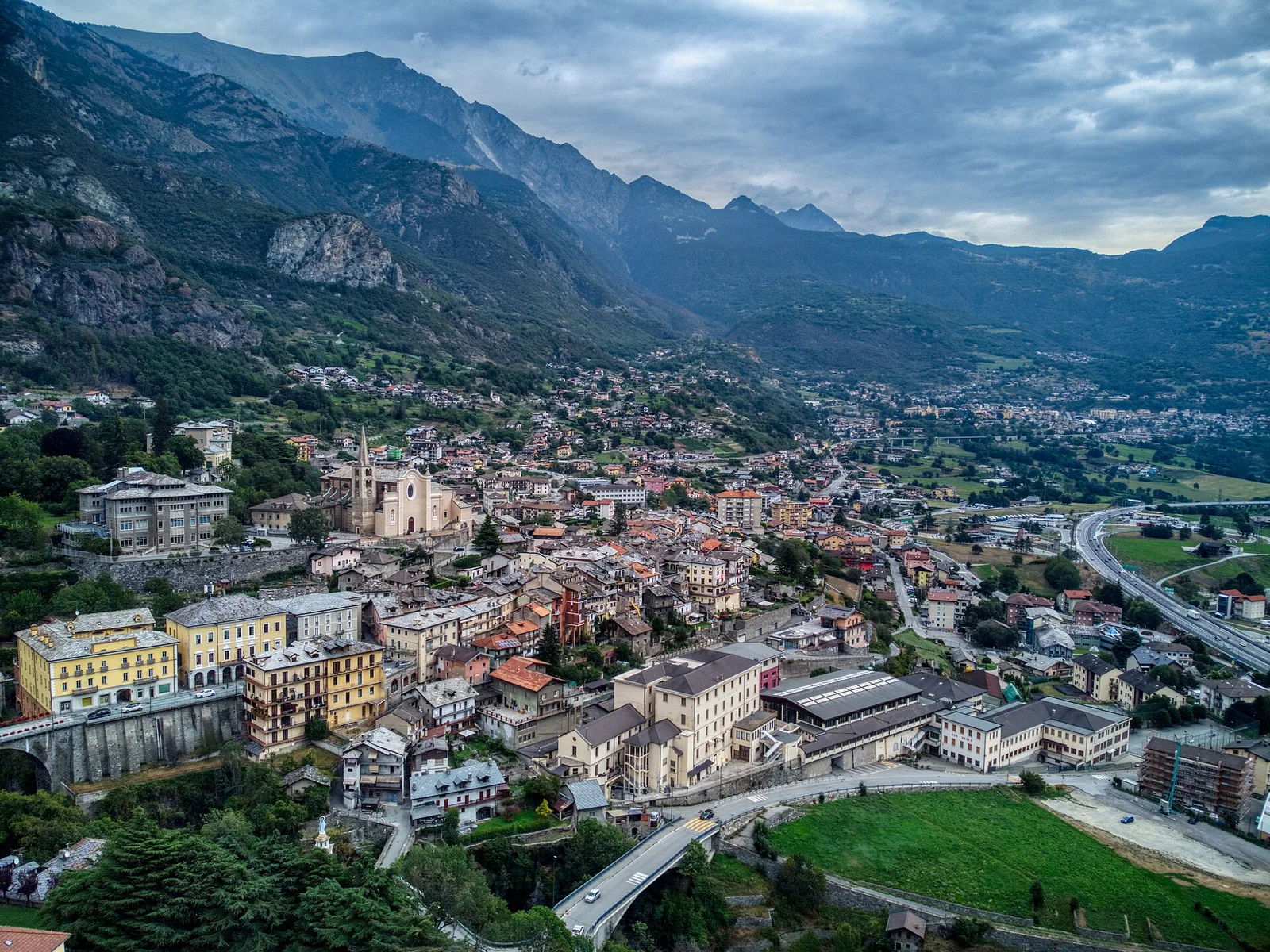
In the lower Val d'Ayas, Challand-Saint-Victor: an E-rated climb through vineyards, forest and terraced land toward historic hamlets.
Valgrisenche
3.1 km · +480 m · E — from Confine comunale Arvier, Revers to Borègne (Valtournenche).

Valle del Lys
6.1 km · +1025 m · E — from Rikurt to Muni (Ayas Valley).
Valtournenche
1.8 km · +14 m · E — from Confine comunale to Confine comunale (Central Valley).
Valle centrale
4.7 km · +0 m · T — from Confine comunale Aosta to Confine comunale Quart (Central Valley).
Valle del Lys
4.2 km · +802 m · EE — from Sainte-Marguerite to Col Giassit (Central Valley).
Valle del Lys
2.8 km · +590 m · E — from Start S2 (strada per Tschalvrino) to Weissmatten (Champorcher Valley).
Valle del Gran San Bernardo
2.4 km · +411 m · E — from Strada Statale 27, start str militare to Plan Puitz (Central Valley).
Valle di Champorcher
0.5 km · +167 m · E — from Terrisse to Attacco Mont Charvatton (Champorcher Valley).
Valle centrale
3.9 km · +1042 m · E — from Torin to Alpe Mont Giron (Valdigne).
Valpelline
3.8 km · +78 m · E — from Rey to Chatellair-Dessus (Valpelline).
Valle centrale
A short climb in the Valdigne from Vedun, via Châtelet, to the pastures of the Alpe Or de Breuil, above La Salle.
Valle centrale
3.9 km · +289 m · E — from Vetan to Alpe Loe (Or) (Central Valley).
Valle centrale
10.7 km · +910 m · E — from Villair to Rifugio Bonatti (Great St Bernard Valley).