Trail guide
The best hikes in Gressoney
The best hikes in Gressoney: 13 selected trails with difficulty, distance, elevation gain and links to the route pages. Sentieri VdA guide.
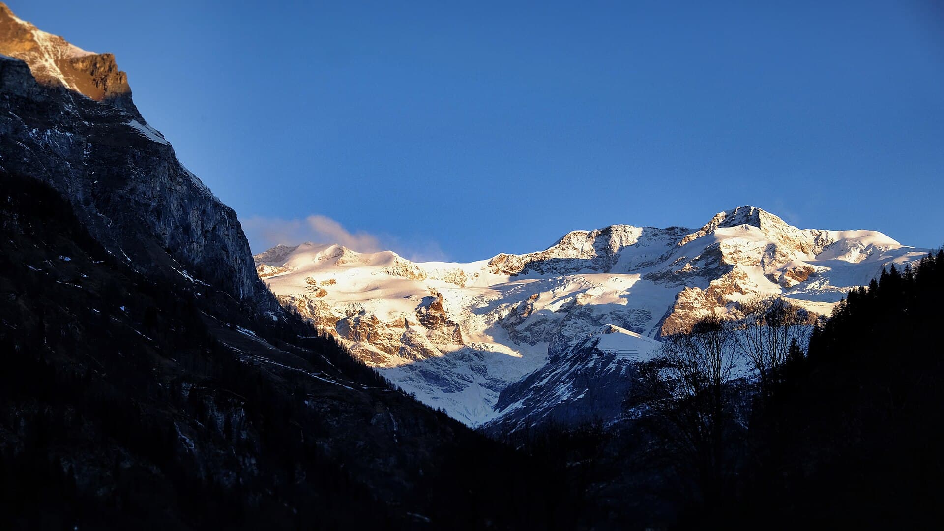
In the Lys Valley below Monte Rosa, Gressoney is Walser country: stone-and-timber villages, the Loo and Lys valleys, the Gabiet lakes and trails toward the great Monte Rosa refuges.
This guide gathers the best trails in the area, all from the Sentieri VdA catalogue: for each one you get the CAI difficulty, distance, elevation gain and a direct link to the route page with map, elevation profile, photos and the day’s weather.
Every itinerary below uses real data from the Aosta Valley trail registry — waymark numbers, distances and elevation gain — and links to the full page with satellite map, GPX track, elevation profile and the nearest town’s weather. Always check conditions before setting off: at altitude the weather changes fast and some passes stay snow-covered into early summer.
Selected trails
High Route 1 — Stage 6: Gressoney-Saint-Jean → Rifugio Vieux Crest
12.7 km · +1427 m · EE — from Gressoney-Saint-Jean to Rifugio Vieux Crest.
Stage six of High Route 1 ranks among the most iconic of the entire route: it climbs from Gressoney-Saint-Jean to Col Pinter at 2777 metres — the pass dividing the Gressoney valley from the Ayas valley — across high meadows where ibex sightings are common in the early morning hours.
High Route 1 — Stage 5: Niel → Gressoney-Saint-Jean
18.2 km · +1380 m · EE — from Niel to Gressoney-Saint-Jean.
Stage five is the longest and most solitary of this sequence: 18 kilometres of airborne traverse above the Lys valley linking the tiny Walser hamlet of Niel to the town of Gressoney-Saint-Jean. The path gains elevation quickly, leaving behind tree cover to enter a landscape of pastures, scree fields and exposed ridges.
Tour Monte Rosa — Stage 1: Gressoney-Saint-Jean → Lago Gabiet
11.7 km · +1366 m · E — from Gressoney-Saint-Jean to Lago Gabiet.
From Gressoney-Saint-Jean follow the Lys valley through Walser villages to Gressoney-La-Trinité, then climb steadily to the lake and Rifugio Gabiet (2,375 m), below the icefalls of the Lys glacier.
Tour Monte Rosa — Stage 10: Saint-Jacques → Gressoney-Saint-Jean
17.5 km · +1297 m · EE — from Saint-Jacques to Gressoney-Saint-Jean.
From Saint-Jacques descend along the Evançon to Champoluc, then climb the Cunéaz valley to the Pinter pass (2,777 m), with the four-thousanders of Monte Rosa back on the horizon. The descent through the Loo valley, among Walser pastures, returns to Gressoney-Saint-Jean, closing the loop.
Tour Monte Rosa — Stage 2: Lago Gabiet → Alagna Valsesia
12.7 km · +530 m · E — from Lago Gabiet to Alagna Valsesia.
From Gabiet climb to the Col d’Olen (2,881 m), the historic pass between the Aosta Valley and Piedmont used by Monte Rosa mountaineers since the 19th century. A long descent down the Olen valley leads to Alagna Valsesia (1,191 m), a Walser jewel below Monte Rosa’s south face.
Staffal - Rifugio Mantova
8.6 km · +1731 m · EE — from Staffal to Rifugio Mantova.
Staffal - Rifugio Mantova is an official trail from the Aosta Valley trail registry (code 32_S4). The route lies in the municipality of Gressoney-Saint-Jean, in the Lys Valley. From Staffal (1840 m) to Rifugio Mantova (3455 m): 8.6 km with +1731 m of elevation change, difficulty EE (CAI scale).
Zer Schmettò - Bivacco Lateltin
7.1 km · +1699 m · EE — from Zer Schmettò to Bivacco Lateltin.
A long, demanding climb from Gressoney-Saint-Jean to the Ulrich Lateltin bivouac, set in a panoramic spot on the way to the Testa Grigia. The trail climbs the valleys on the right flank among pastures, scree and rocky steps (EE), gaining height towards one of the highest balconies over Monte Rosa's south face.
Gressoney-La-Trinité - Testa Grigia (Groabhopt)
5.9 km · +1689 m · EEA — from Capoluogo to Testa Grigia (Groabhopt).
A demanding, rewarding climb to the Testa Grigia (Groabhopt, 3,315 m), one of the highest panoramic summits reachable on foot from Gressoney.
Gressoney-la-Trinité - Piccolo Rothorn (Blach Rothorn)
5.4 km · +1403 m · EE — from Gressoney-la-Trinité to Piccolo Rothorn.
Gressoney-la-Trinité - Piccolo Rothorn (Blach Rothorn) is an official trail from the Aosta Valley trail registry (code 32_S21). The route lies in the municipality of Gressoney-Saint-Jean, in the Lys Valley. From Gressoney-la-Trinité (1640 m) to Piccolo Rothorn (3041 m): 5.4 km with +1403 m of elevation change, difficulty EE (CAI scale).
Obrò Biela - Passo di Rissuolo
4.9 km · +1393 m · EE — from Obrò Biela to Passo di Rissuolo.
Obrò Biela - Passo di Rissuolo is an official trail from the Aosta Valley trail registry (code 33_S25). The route lies in the municipality of Hône, in the Champorcher Valley. From Obrò Biela (1562 m) to Passo di Rissuolo (2942 m): 4.9 km with +1393 m of elevation change, difficulty EE (CAI scale).
Rong - Passo dell'Alpetto
5.1 km · +1333 m · EE — from Rong to Passo dell'Alpetto.
Rong - Passo dell'Alpetto is an official trail from the Aosta Valley trail registry (code 33_S27). The route lies in the municipality of Hône, in the Champorcher Valley. From Rong (1441 m) to Passo dell'Alpetto (2768 m): 5.1 km with +1333 m of elevation change, difficulty EE (CAI scale).
Bino - Passo di Valnera
4.5 km · +1280 m · E — from Bino to Alpe Jatza.
Bino - Passo di Valnera is an official trail from the Aosta Valley trail registry (code 33_S15). The route lies in the municipality of Hône, in the Champorcher Valley. From Bino (1394 m) to Alpe Jatza (2676 m): 4.5 km with +1280 m of elevation change, difficulty E (CAI scale).
Steina - Passo del Maccagno
8.6 km · +1187 m · E — from Steina to Passo del Maccagno.
Steina - Passo del Maccagno is an official trail from the Aosta Valley trail registry (code 33_S41). The route lies in the municipality of Hône, in the Champorcher Valley. From Steina (1310 m) to Passo del Maccagno (2497 m): 8.6 km with +1187 m of elevation change, difficulty E (CAI scale).
Explore the full catalogue on the Trails page and plan your next hike in the Aosta Valley.
Cover photo: Camisawa · CC BY-SA 4.0