E
Bassa Valle
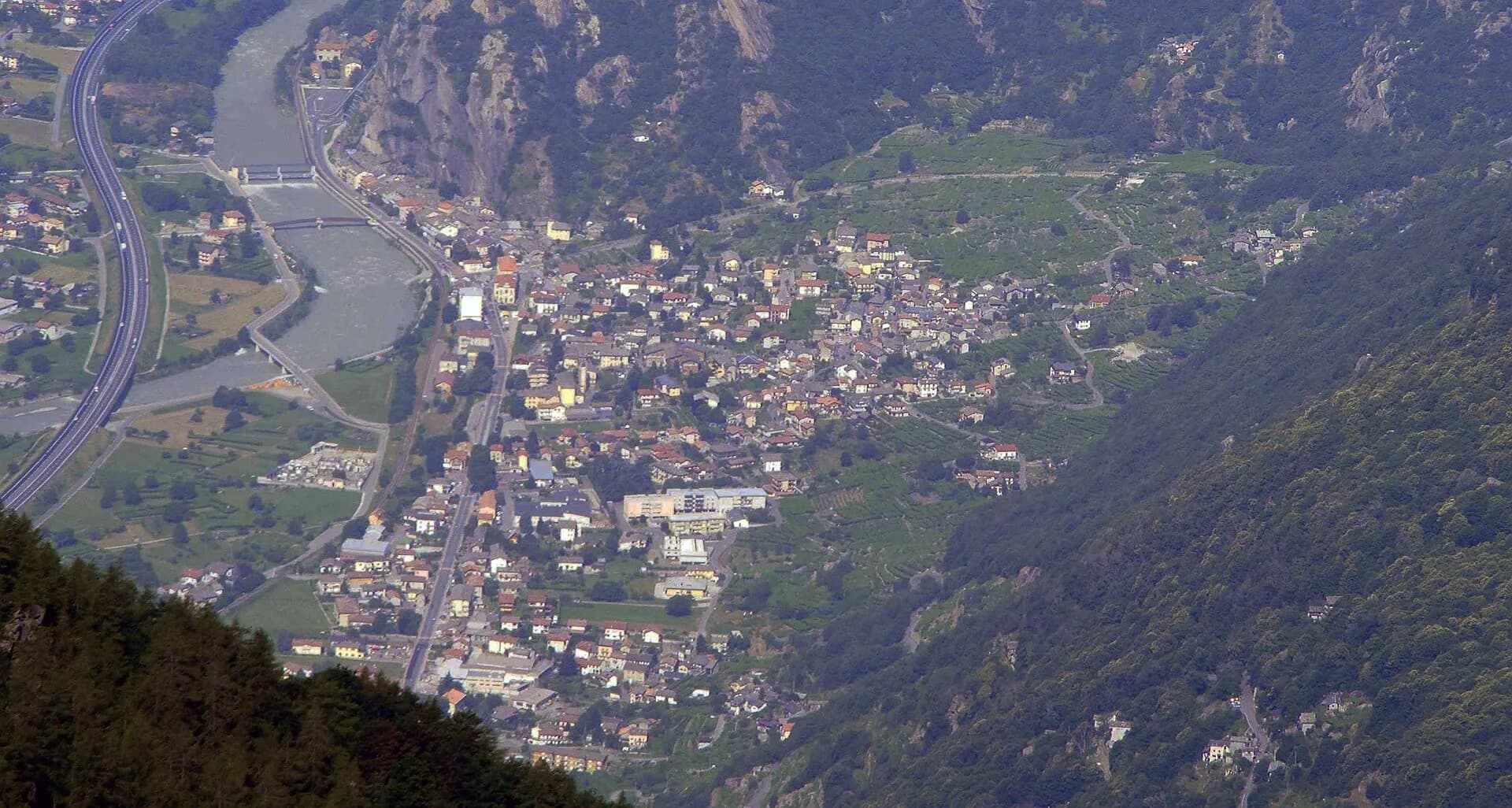
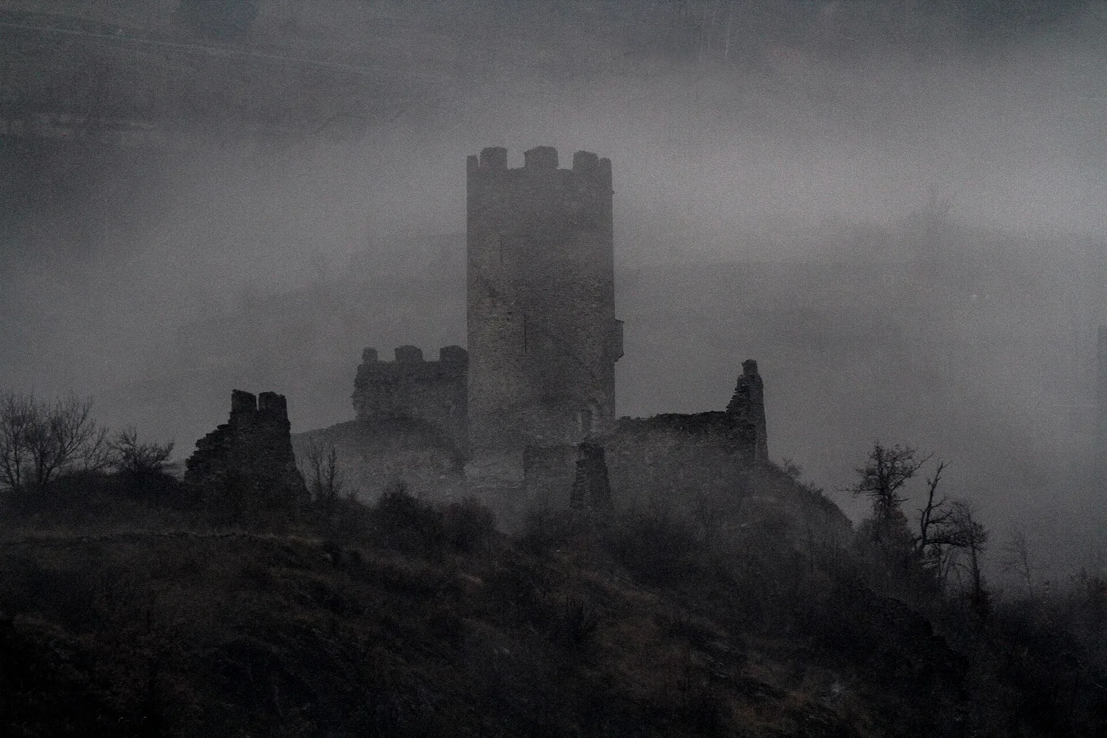
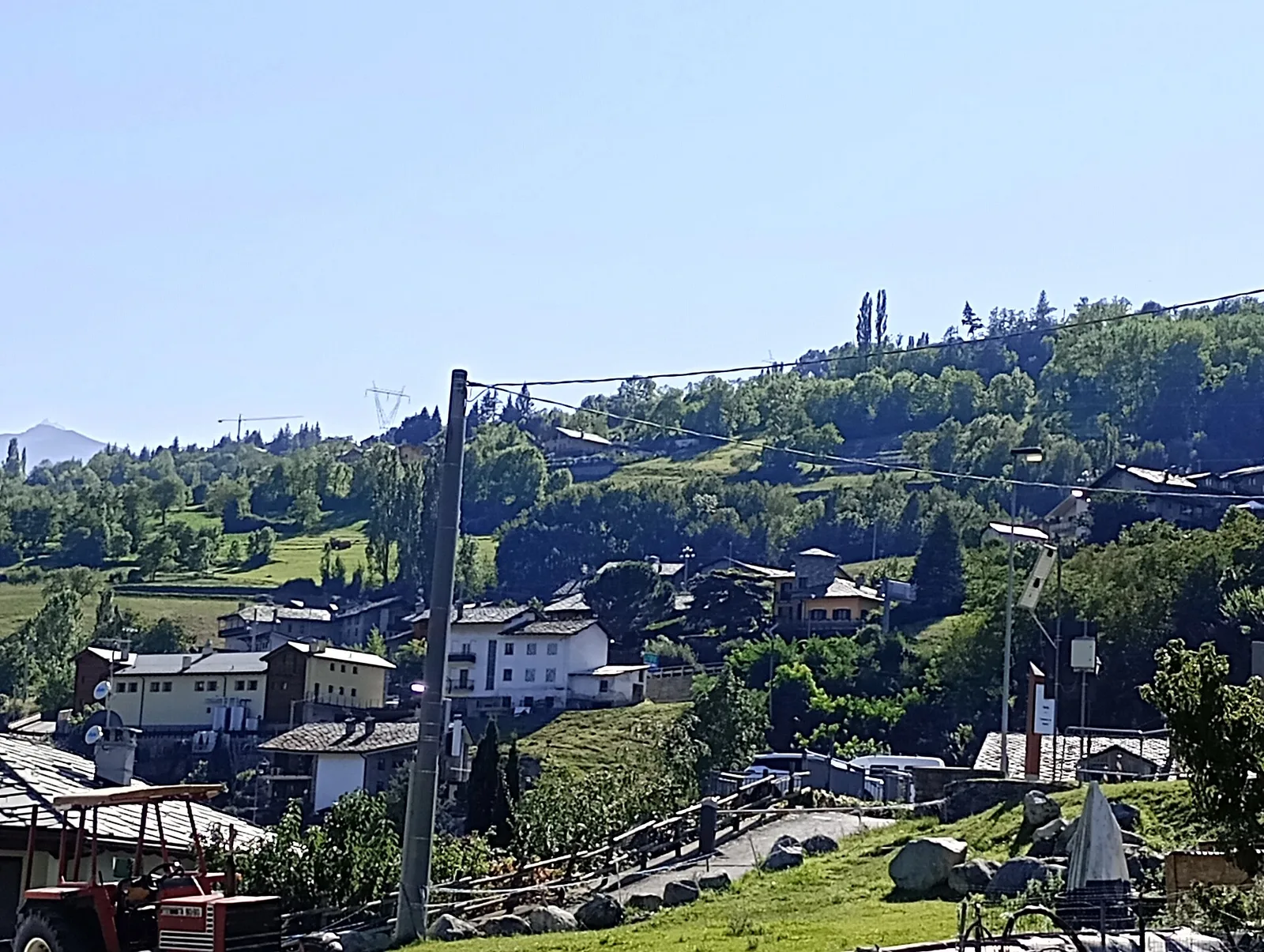
High Route 1 — Stage 1: Donnas → Perloz
The start of the High Route of the Giants, from the valley floor up to Perloz meadows through Walser villages and chestnut groves.
12.5 km+950 m5 h
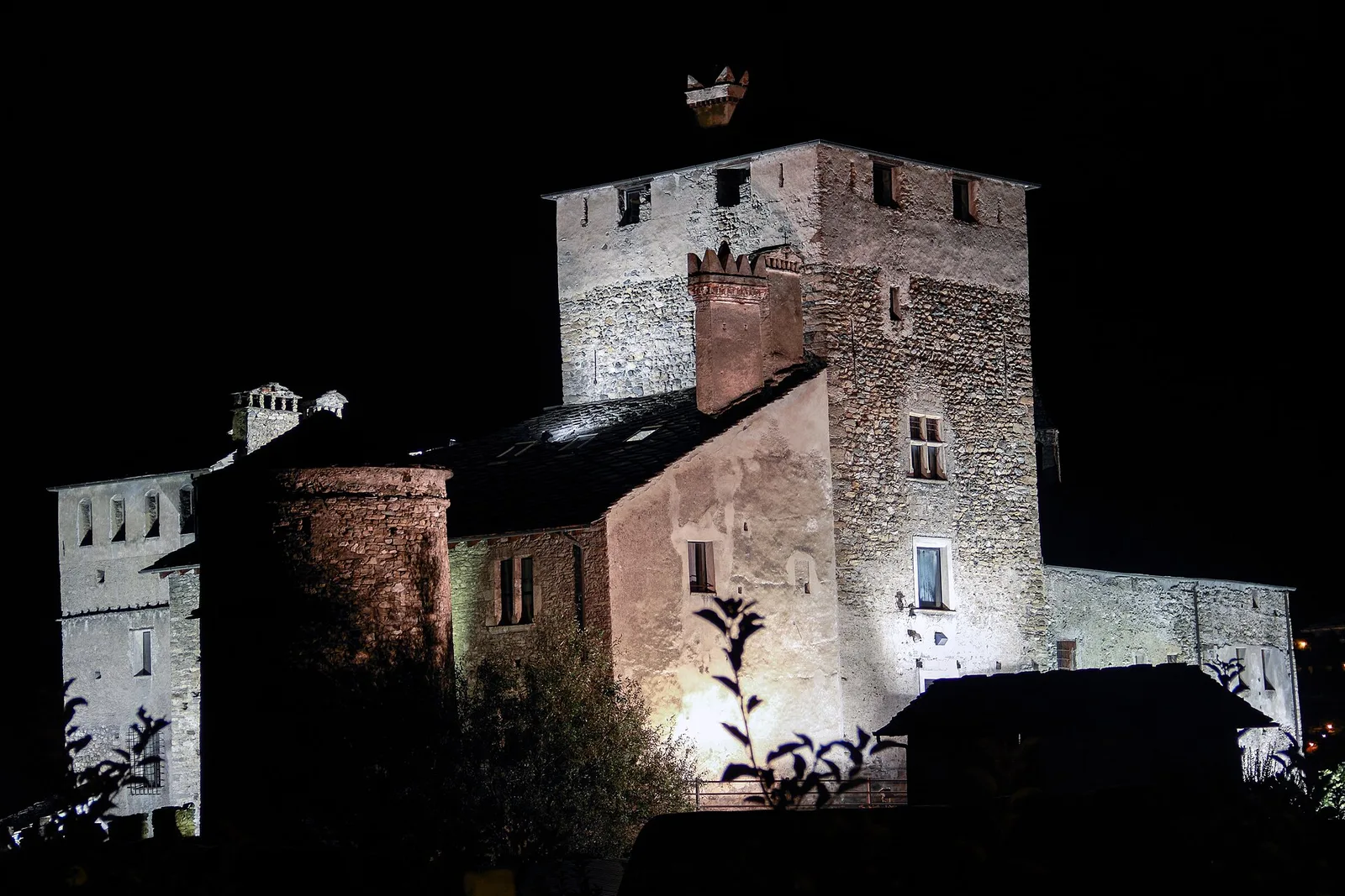
Trails and culture
15 trails linked to Sant'Orso Fair — traditions and flavours along the route: difficulty T–E, elevation gain 0–1983 m.
15 · 0.9–18.0 km · +0–1983 m
Bassa Valle
The start of the High Route of the Giants, from the valley floor up to Perloz meadows through Walser villages and chestnut groves.
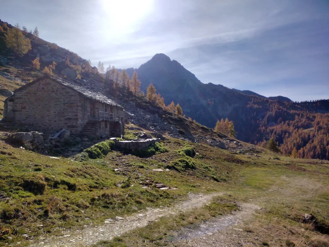
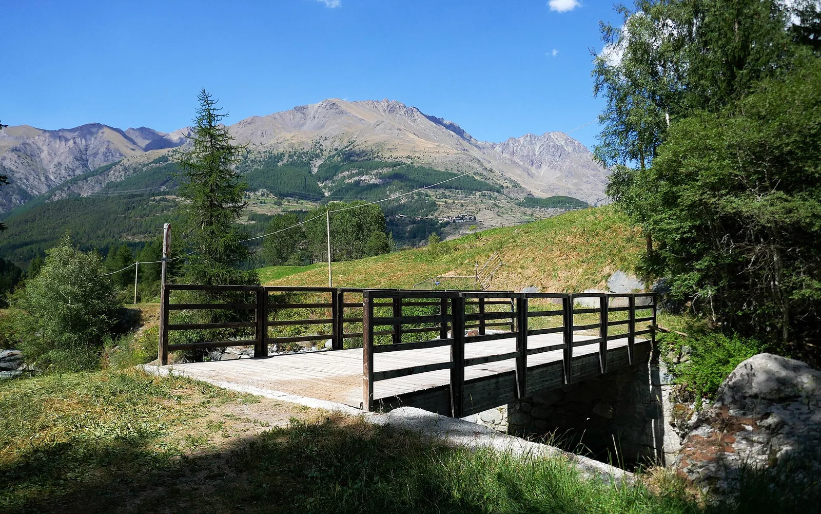
Bassa Valle — Mont Mars
From Perloz hill the trail climbs through Lillianes forest and into the Mont Mars Nature Reserve, where Rifugio Coda at 2280 m opens the view to the high valley.
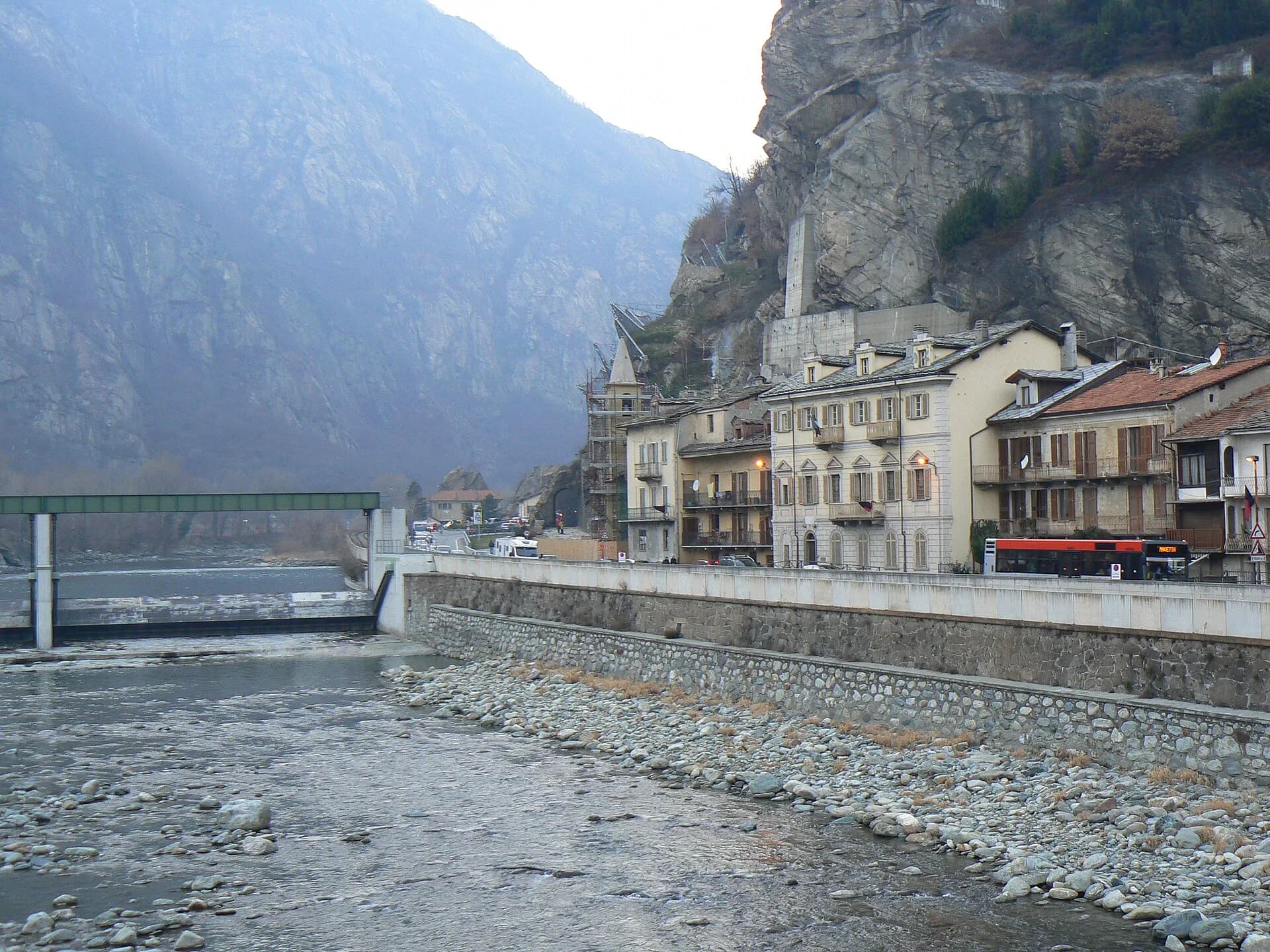
Bassa Valle
Final AV2 stage: from Retempio sanctuary to Donnas in the valley floor.
Valle centrale
4.4 km · +543 m · E — from Champlong dessus to Petit-Poignon (Central Valley).
Valle centrale
1.4 km · +334 m · E — from Champlong dessus to Prorayé (Central Valley).
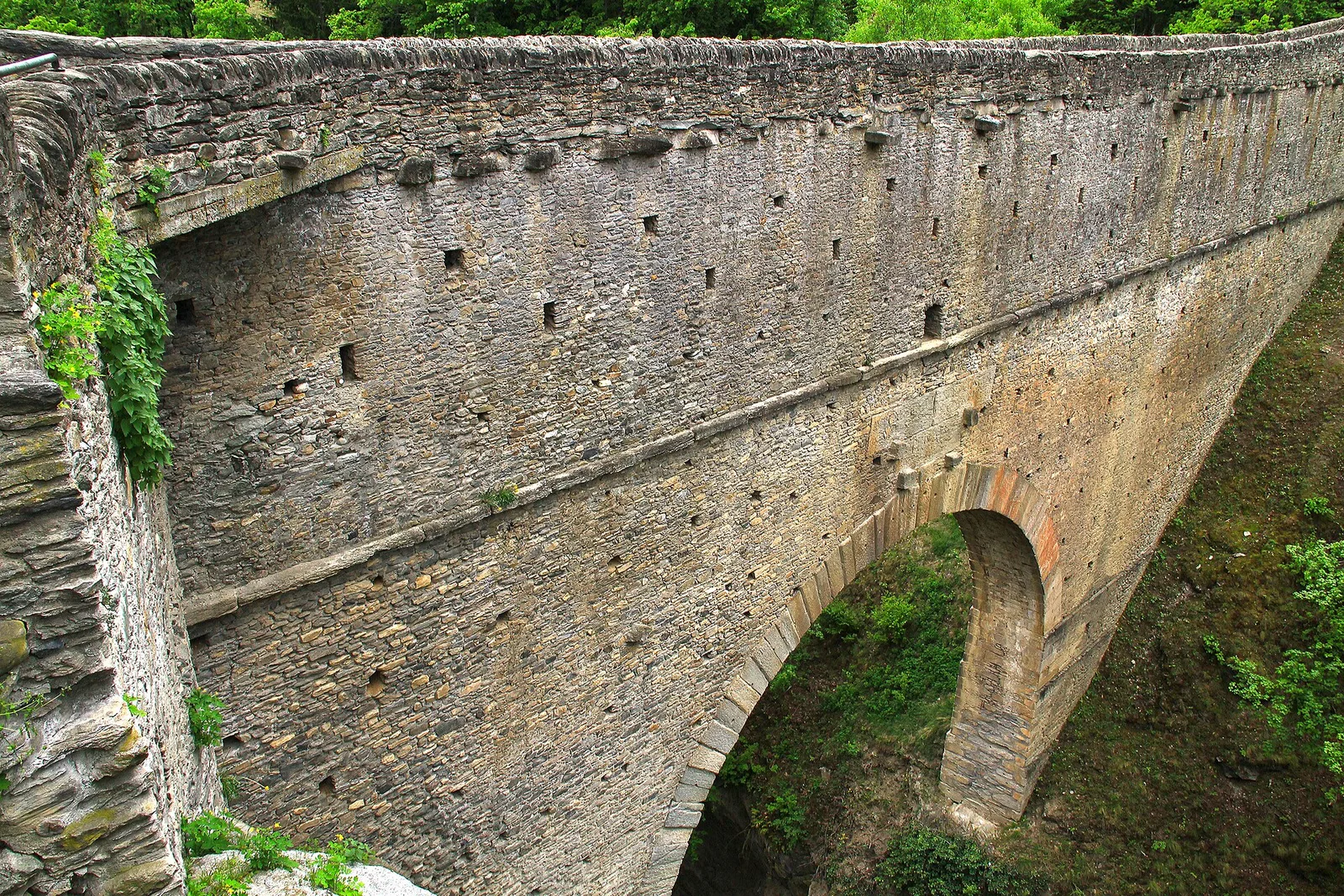
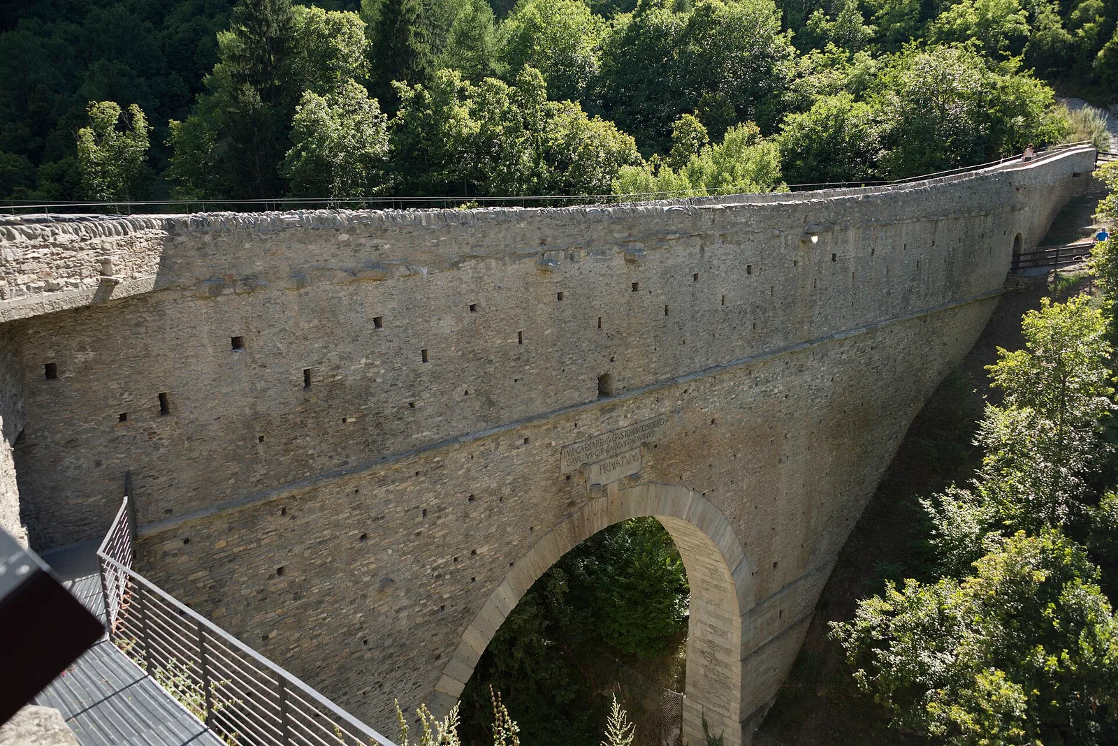
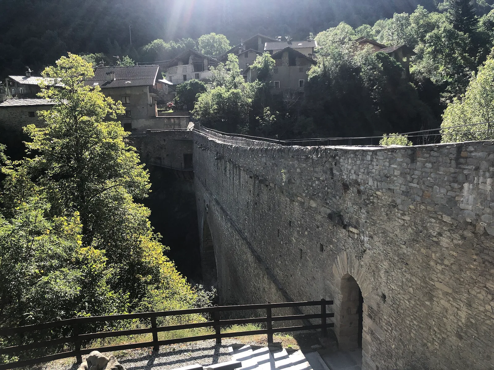
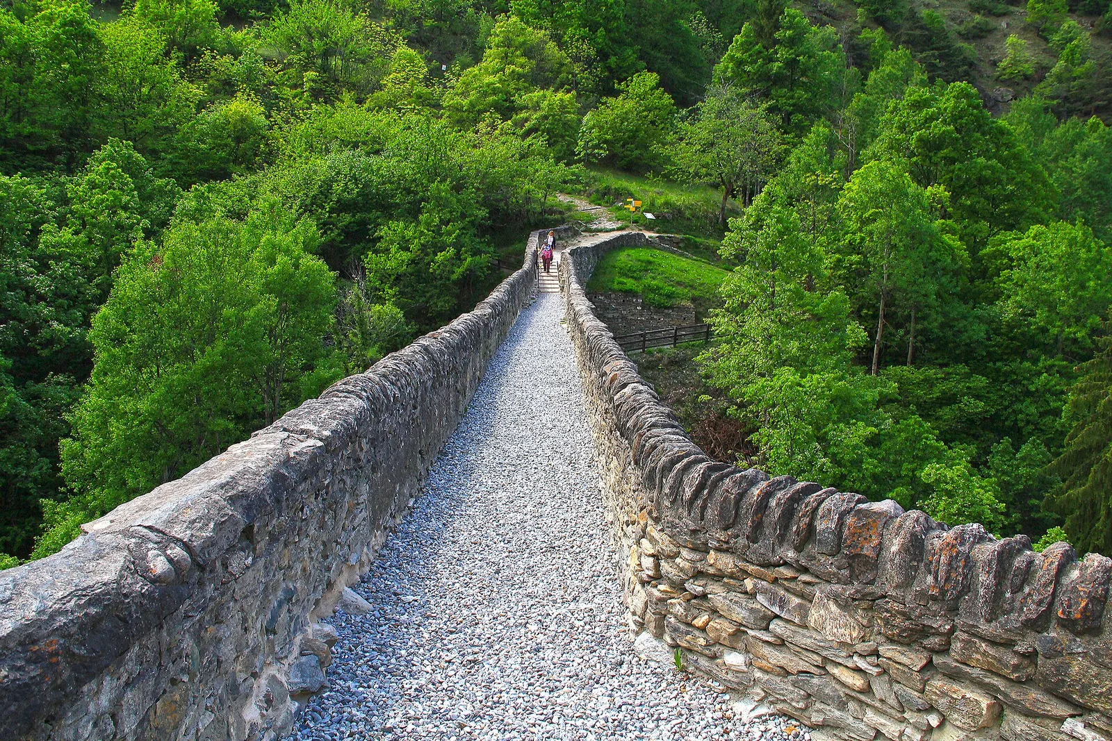
Valle centrale
4.2 km · +243 m · E — from Chavonne to Pondel (Aymavilles) (Central Valley).
Valle del Lys
1.7 km · +446 m · E — from Chevrère to Poignon (confine comunale Villeneuve) (Lys Valley).
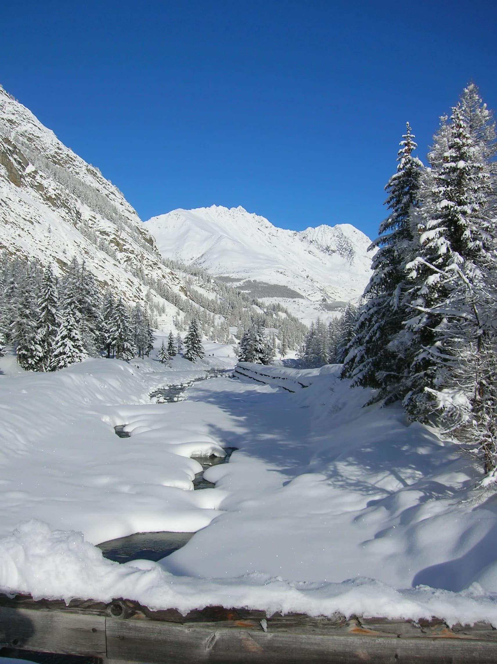
Val di Cogne
From low altitude toward alpine pastures in Aymavilles, Val di Cogne: an E-rated route at the heart of the Gran Paradiso.
Valle centrale
A long, severe climb on Aosta's adret: nearly 2000 m of ascent from the Porossan vineyards to the panoramic Col di Viou (2713 m).
Valle del Lys
3.2 km · +490 m · E — from Prati di Sant'Orso - Buthier to Les Ors (Lys Valley).
Valle centrale
11.8 km · +0 m · E — from Villeneuve to Aymavilles (Central Valley).
Val di Cogne
Approach in the heart of the Park: Cogne to Valnontey.
Valle centrale
1.7 km · +277 m · E — from Trepont to Liveroulaz (St-Nicolas) (Central Valley).
Valle centrale
0.9 km · +0 m · E — from Capoluogo to Saint Roch (Central Valley).
Valle centrale
7.3 km · +909 m · E — from Villeneuve to Petit Poignon (Central Valley).