E
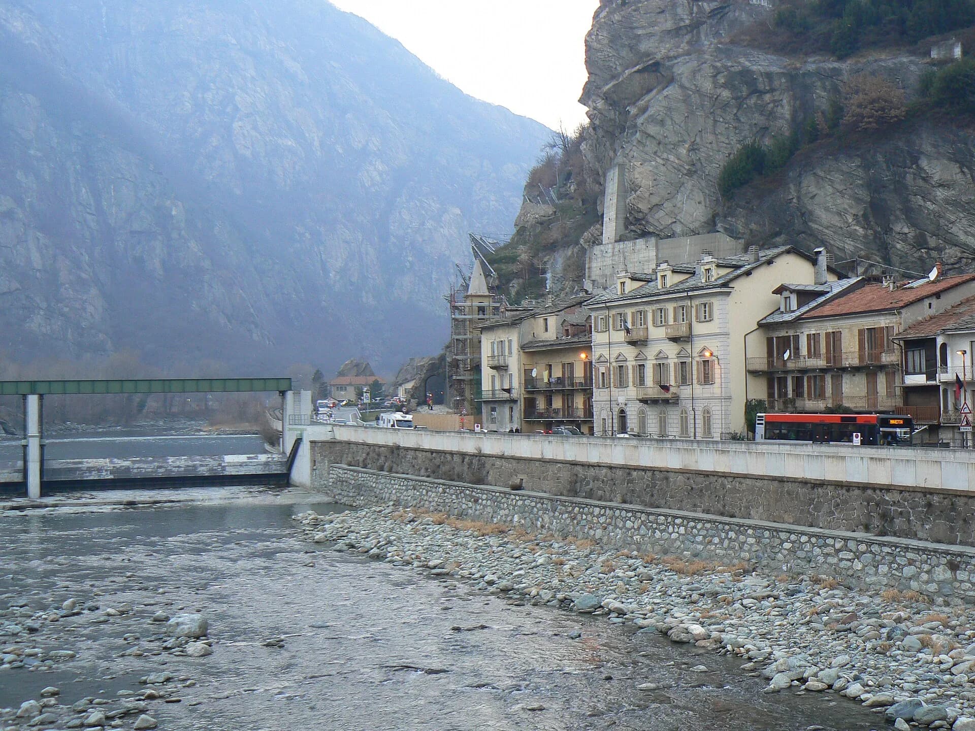
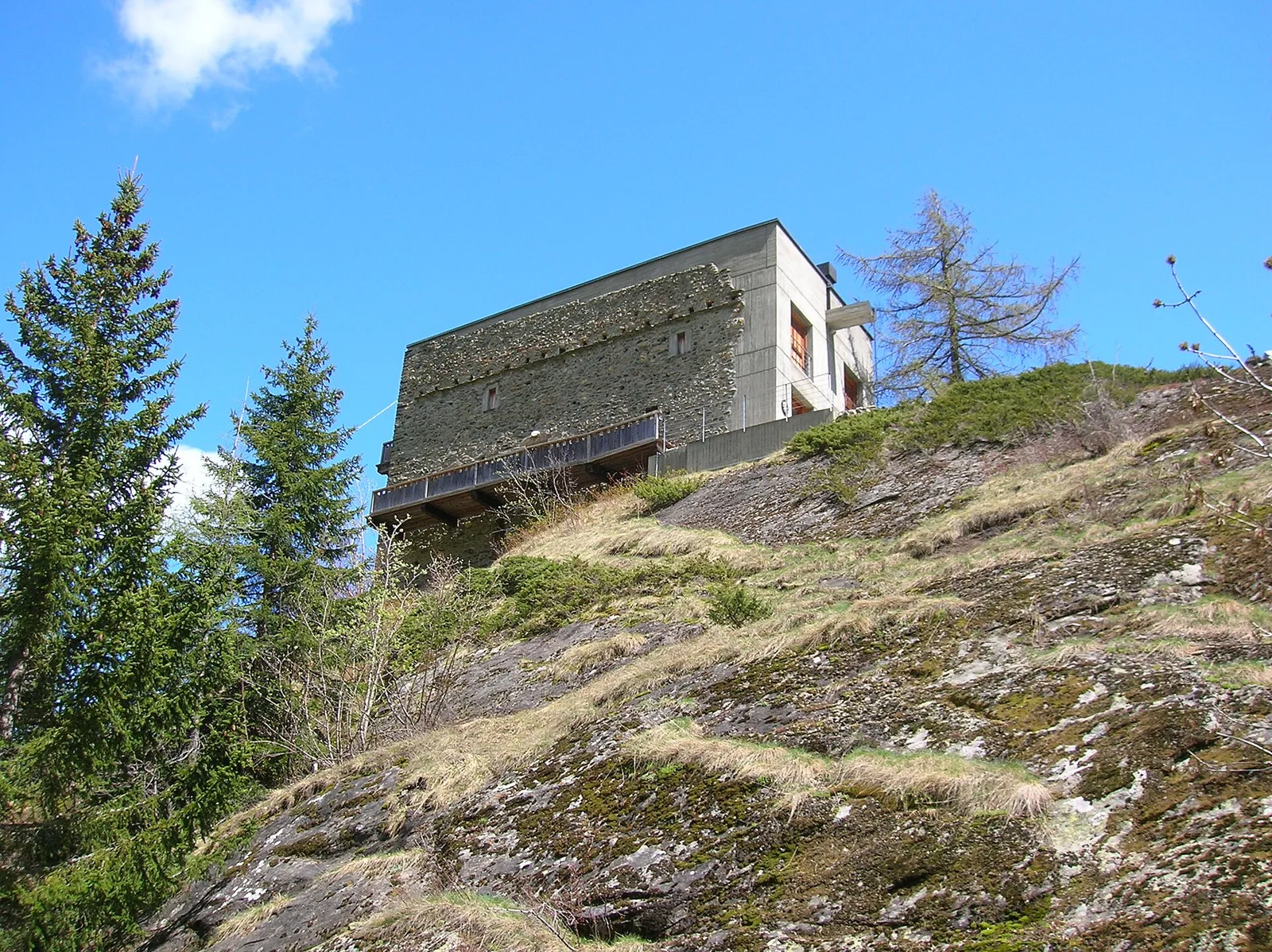
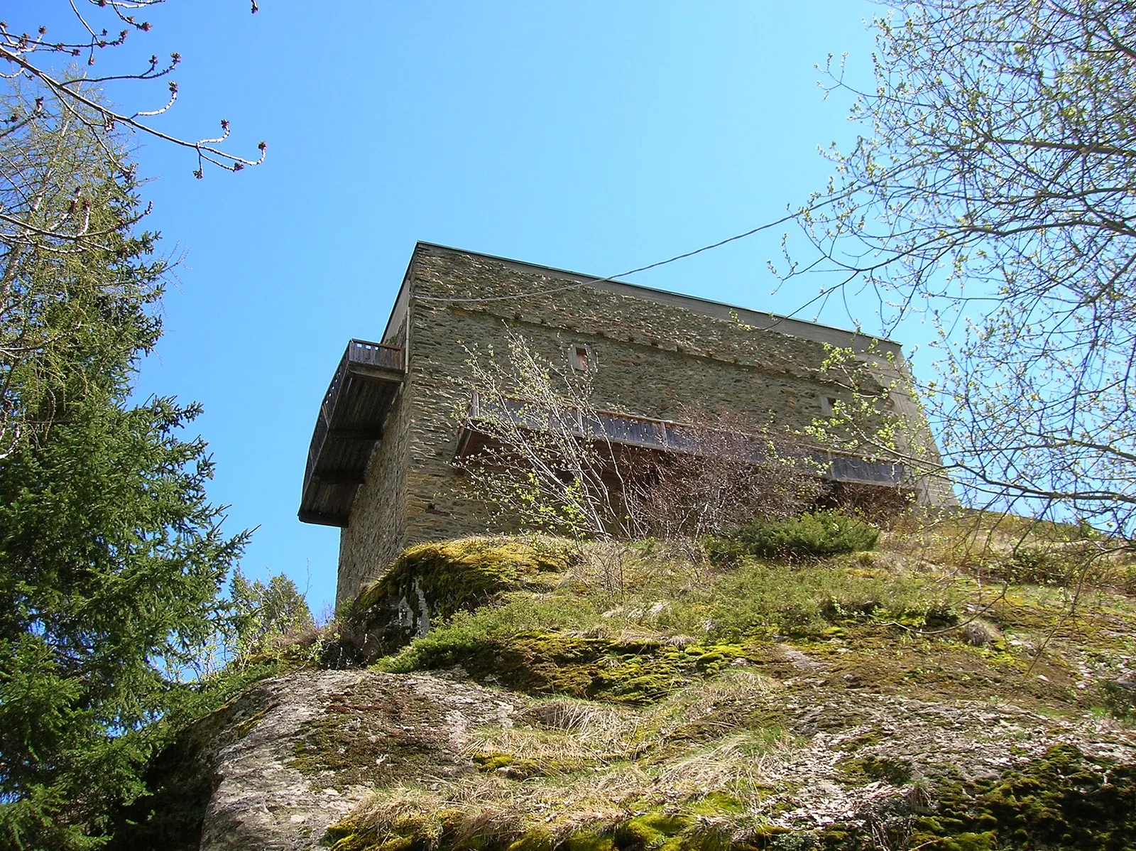
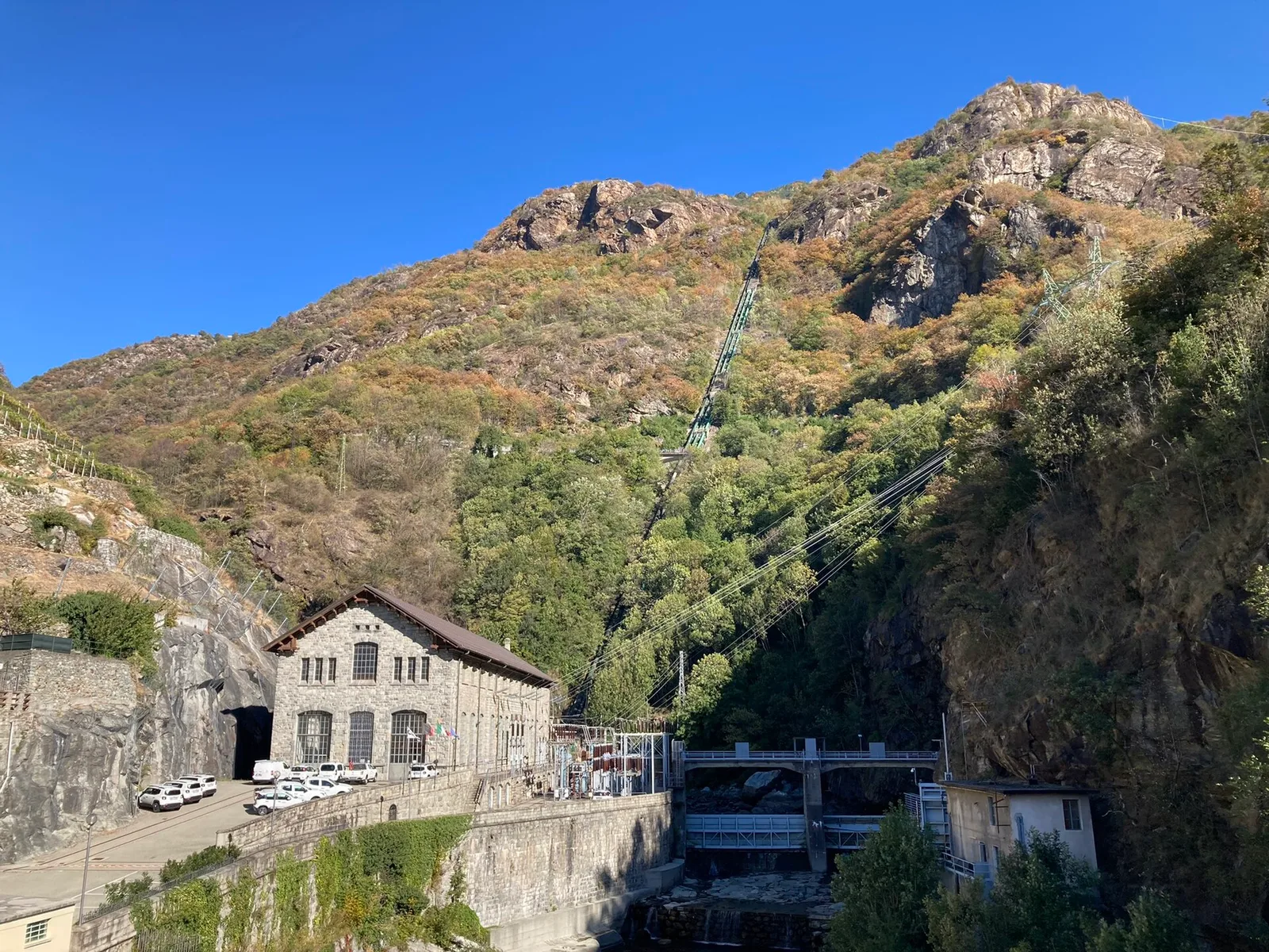
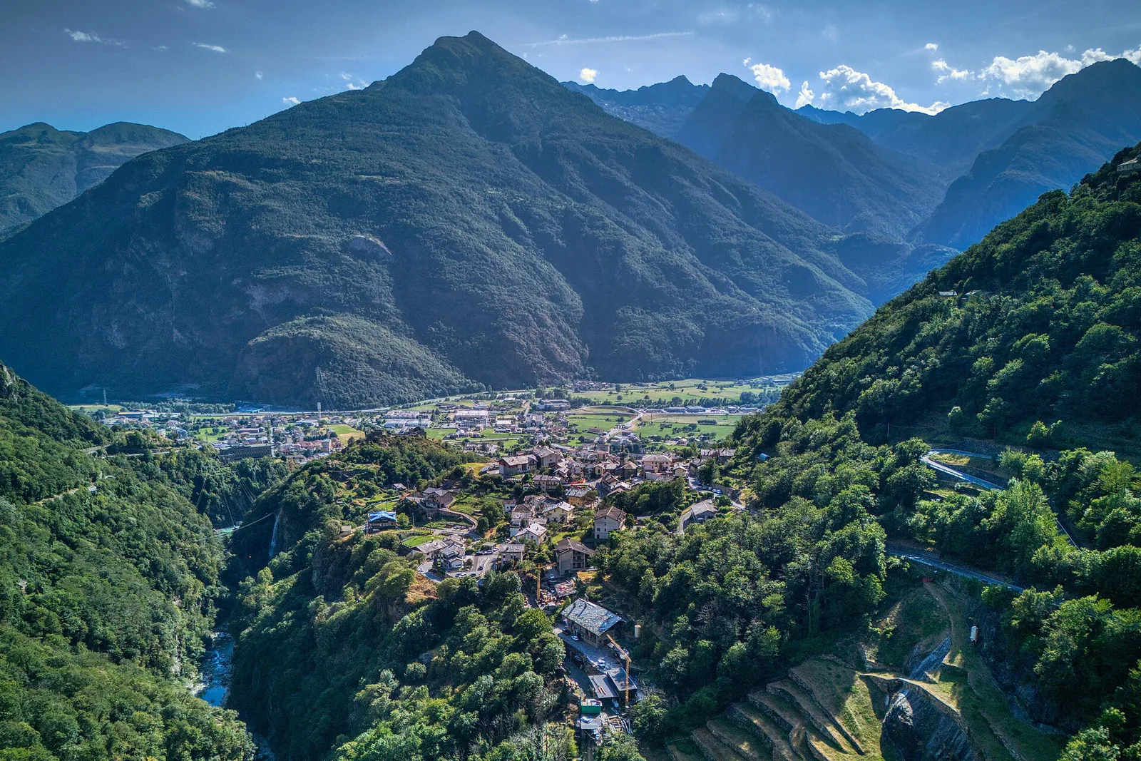
Bassa Valle
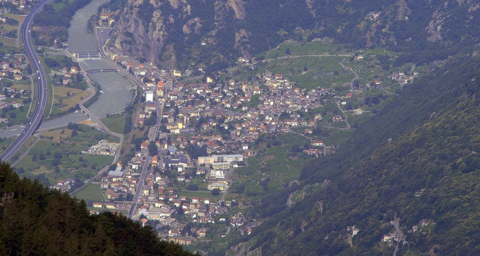
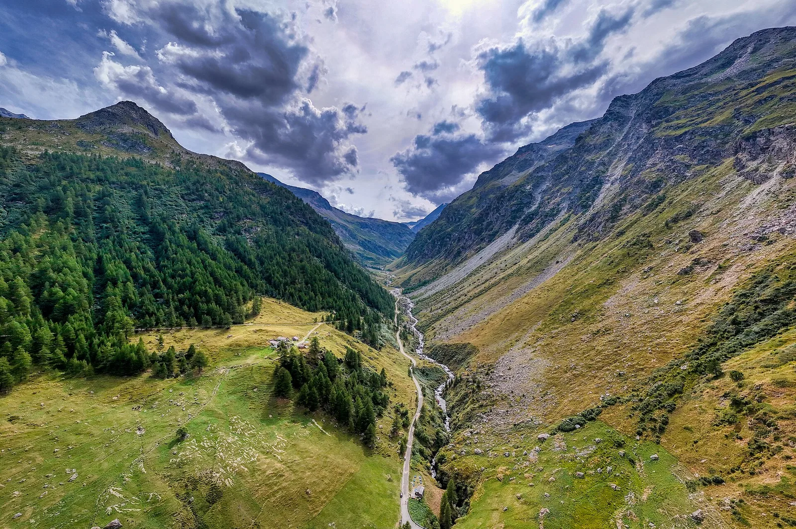
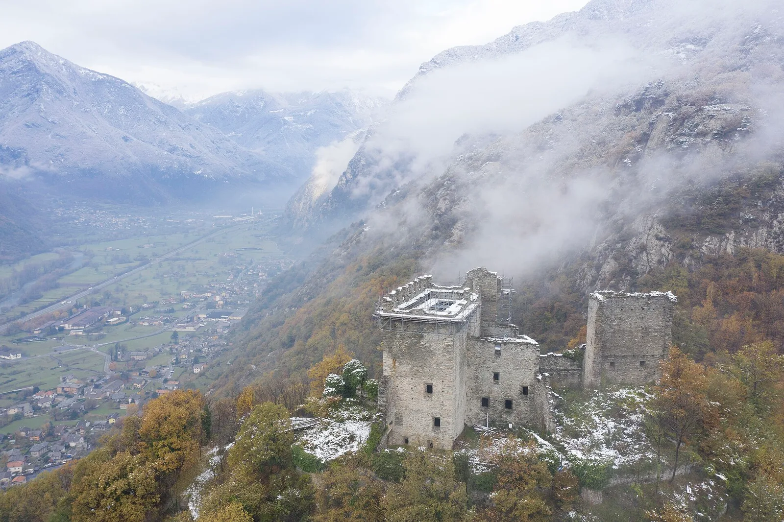
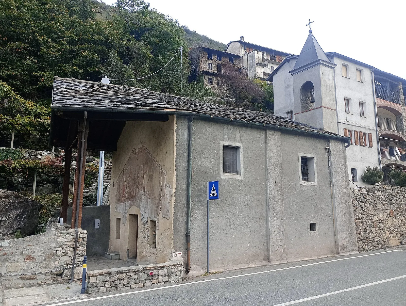
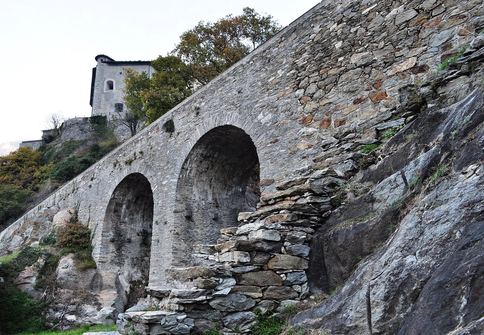
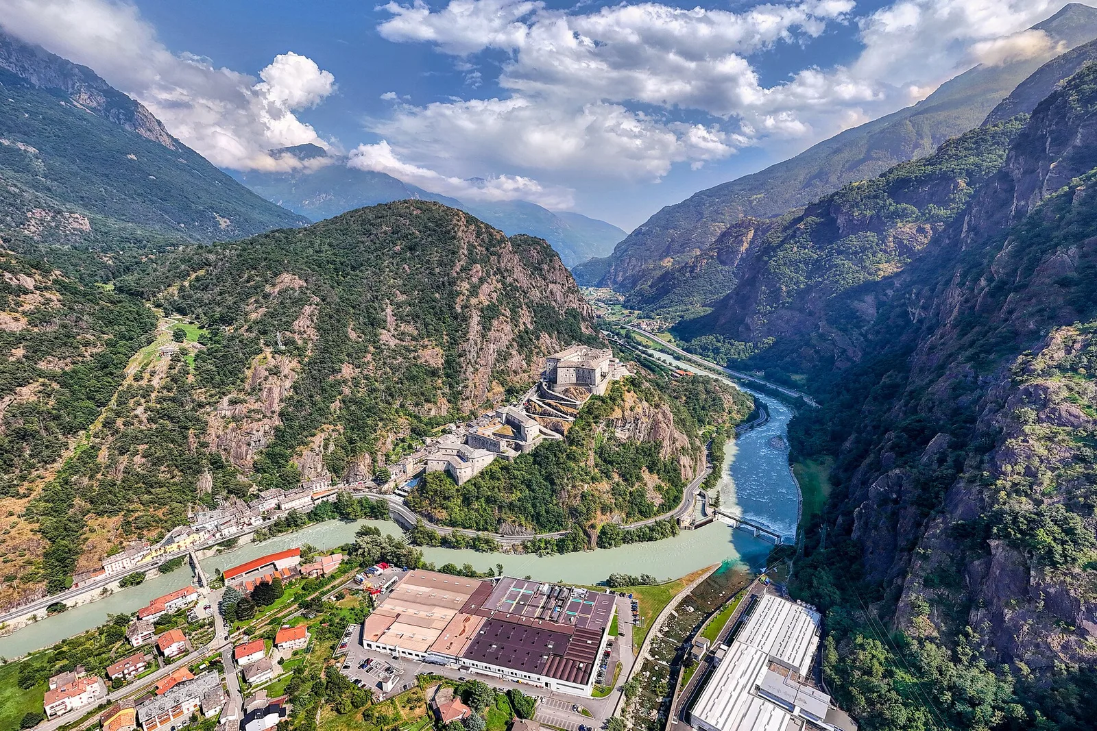
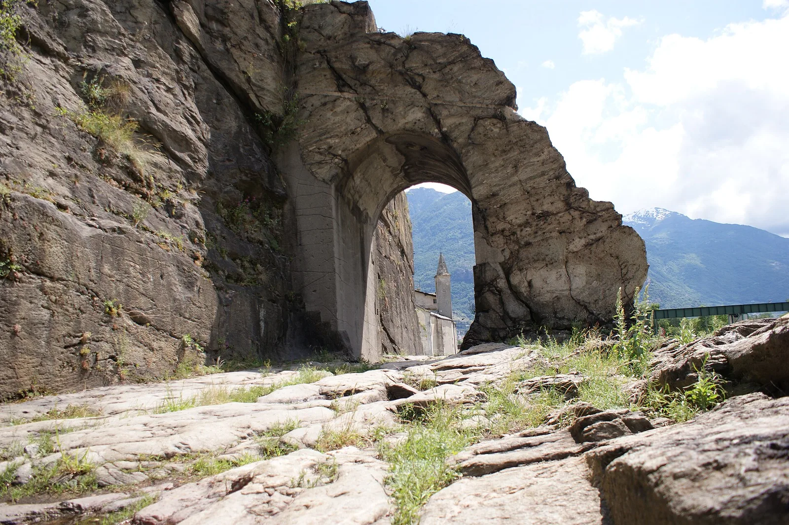
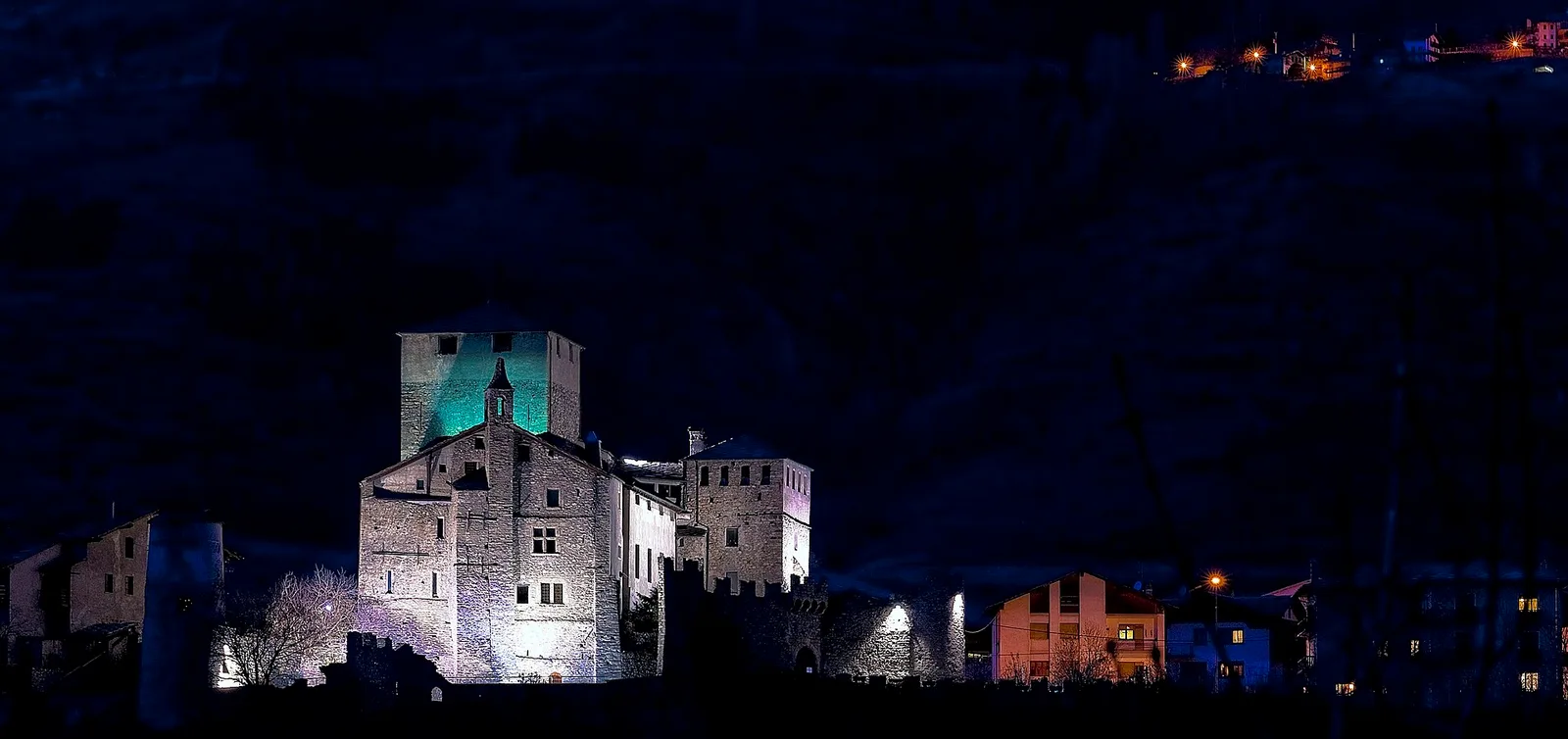
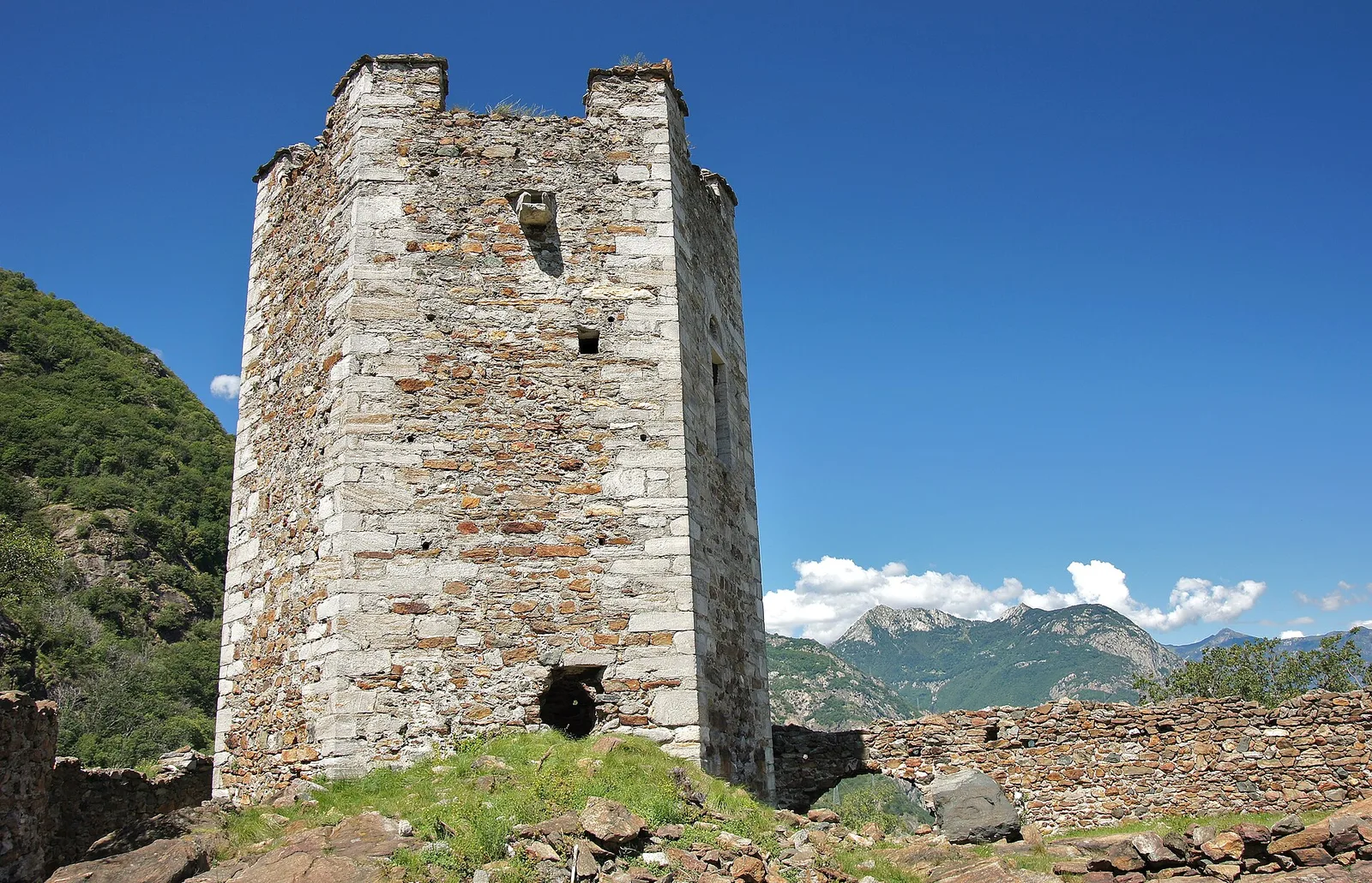
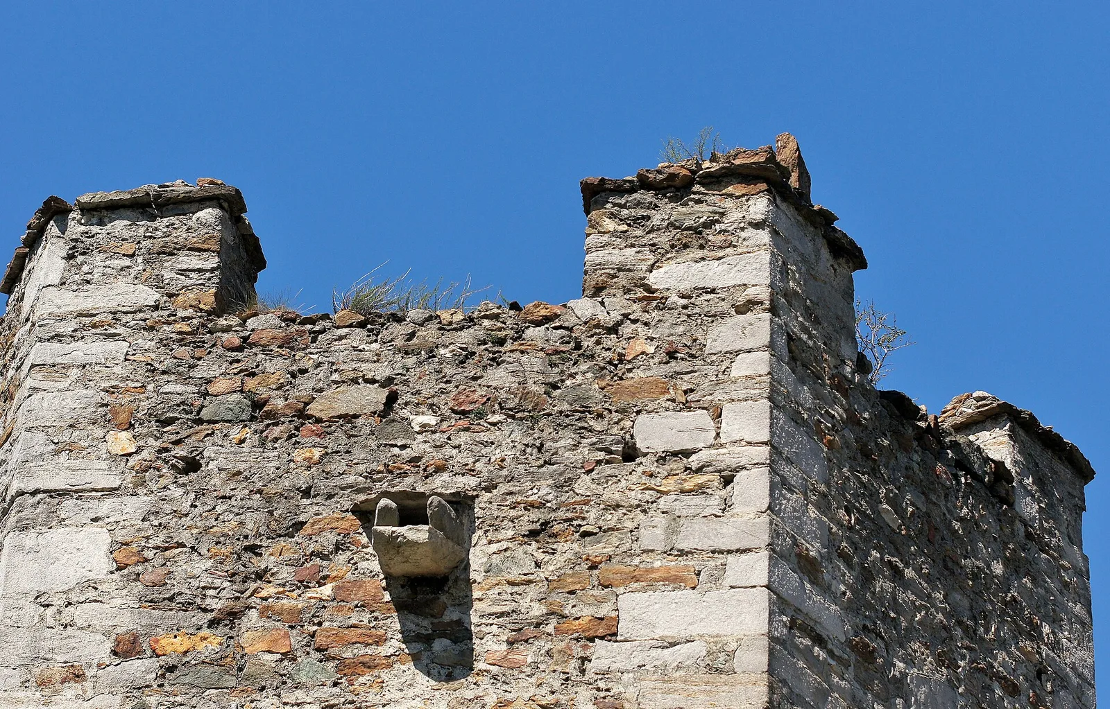
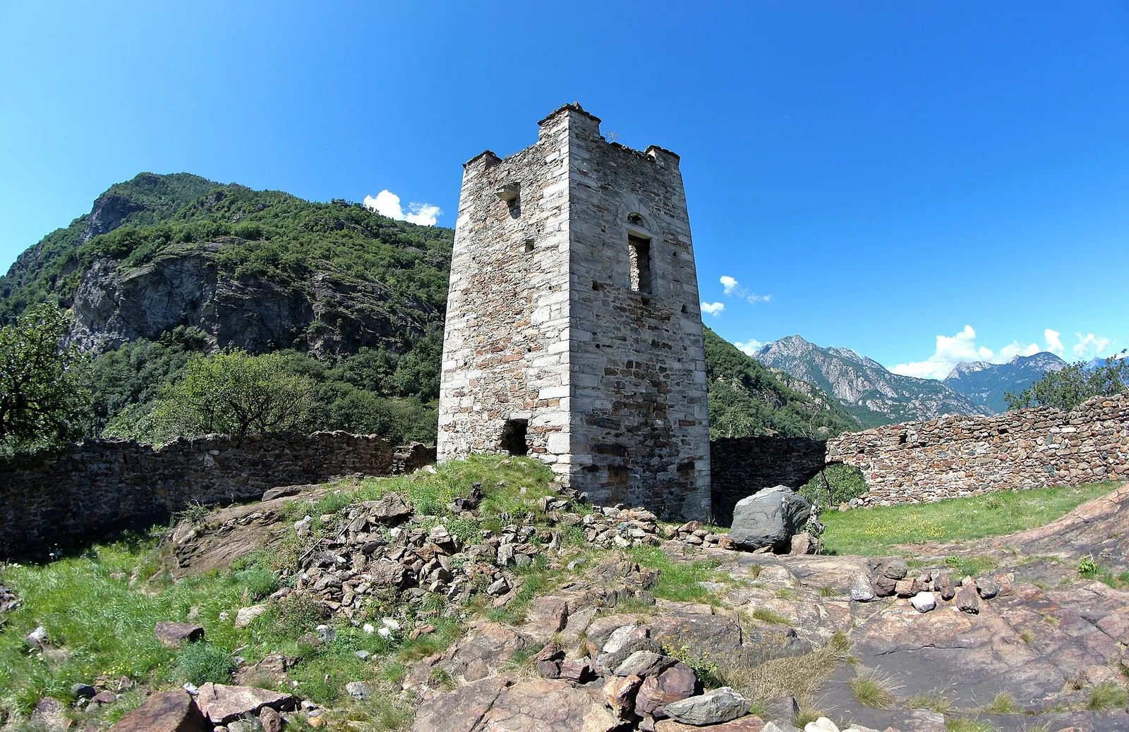
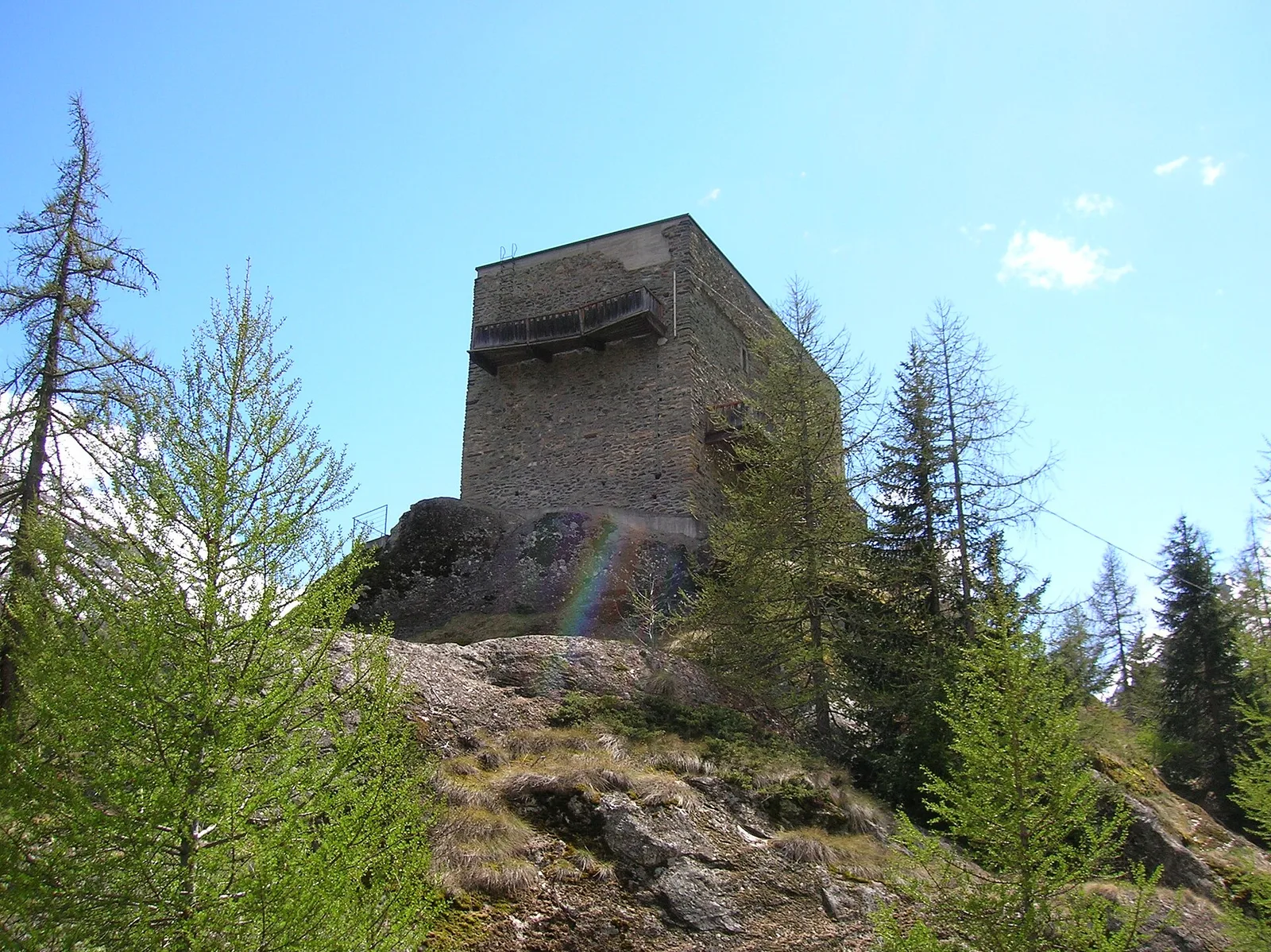
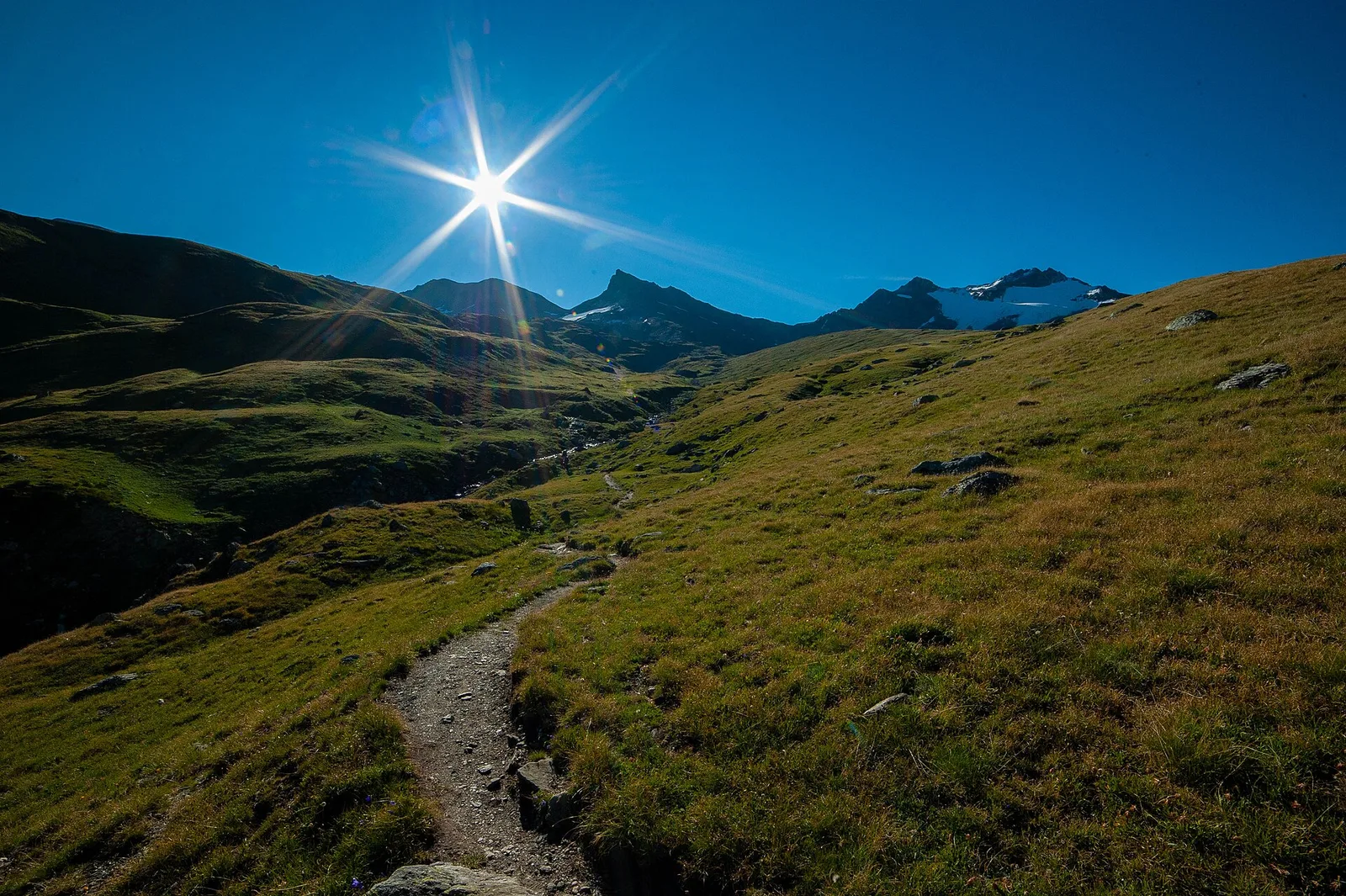
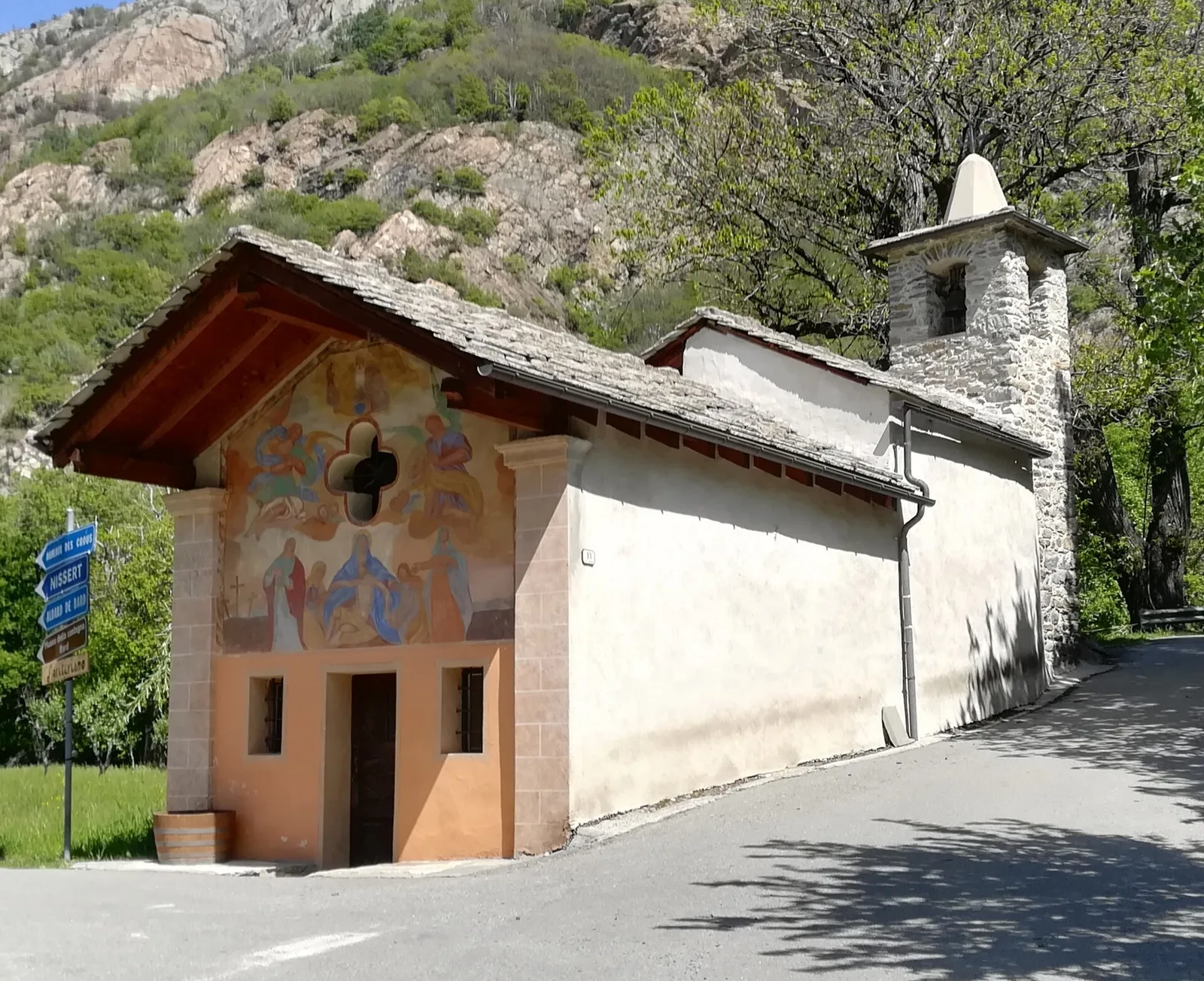
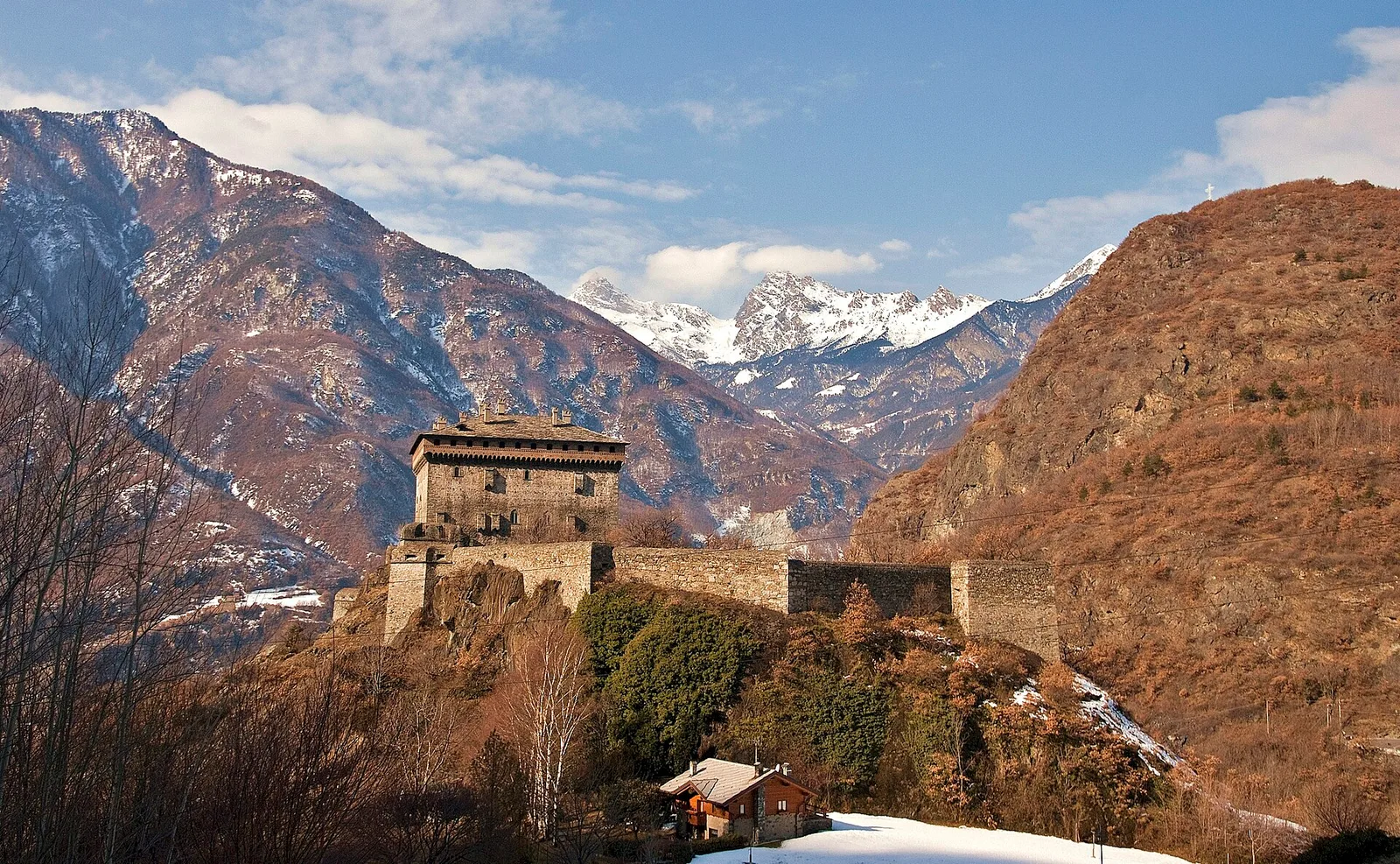
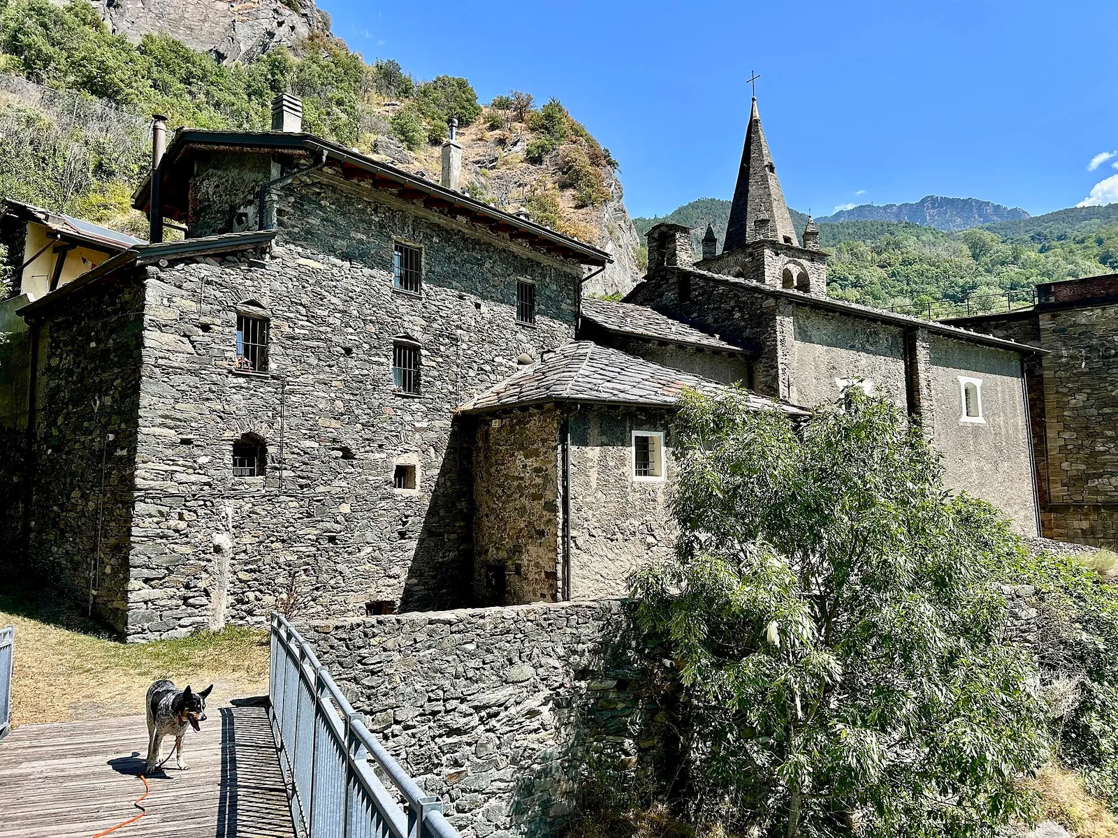
High Route 1 — Stage 1: Donnas → Perloz
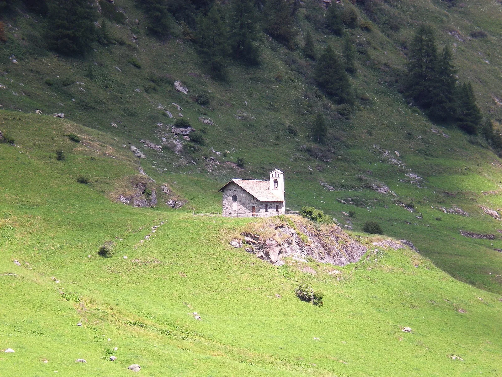
The start of the High Route of the Giants, from the valley floor up to Perloz meadows through Walser villages and chestnut groves.
12.5 km+950 m5 h
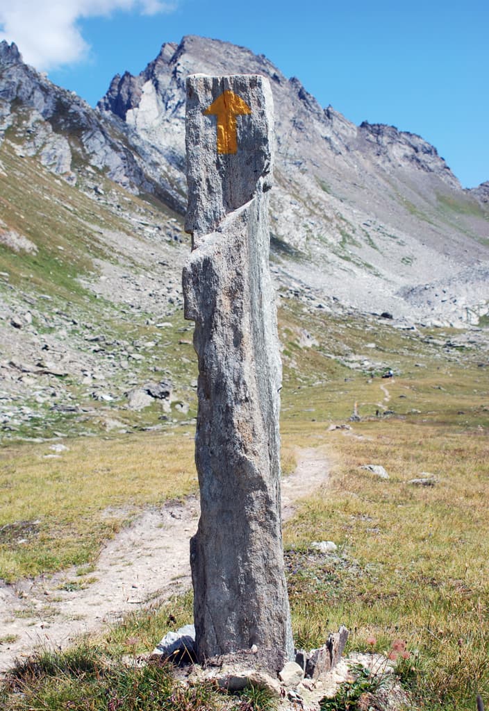
Trails and culture
108 trails linked to Picotin — traditions and flavours along the route: difficulty T–EE, elevation gain 0–3545 m.
108 · 0.8–32.2 km · +0–3545 m
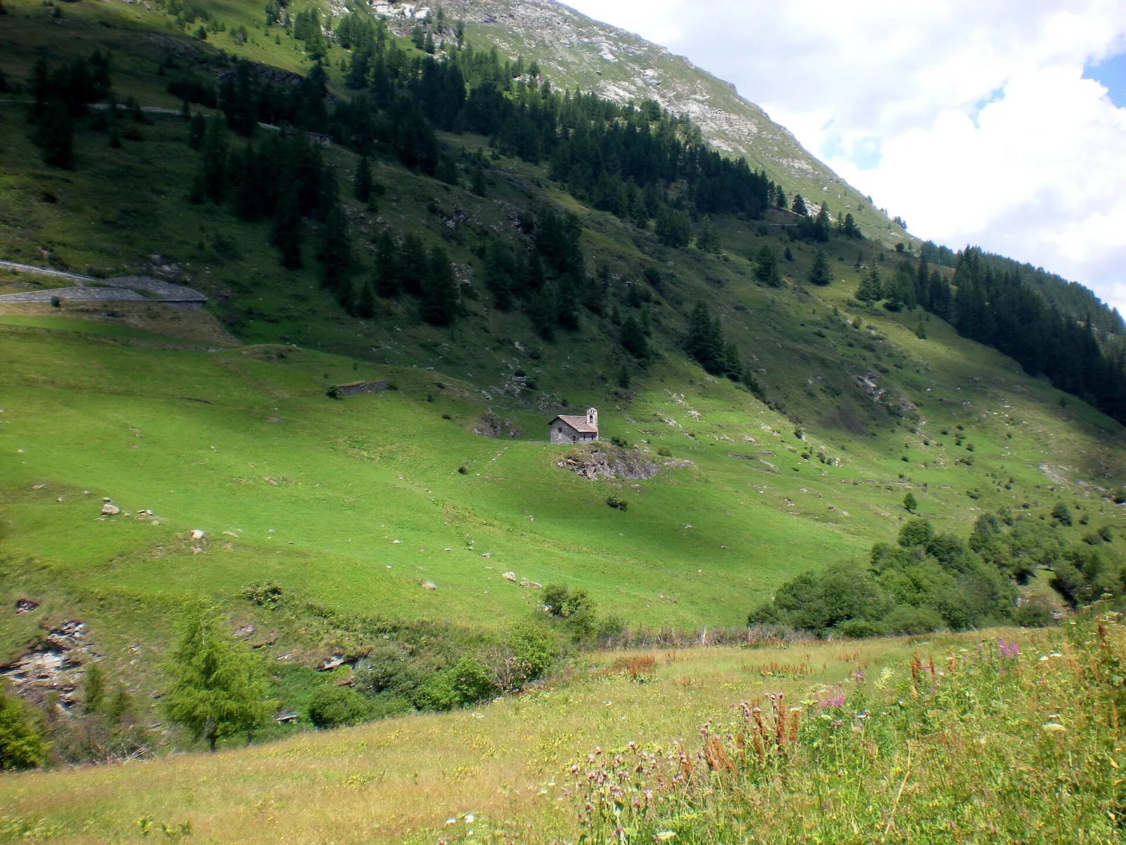
Bassa Valle
The start of the High Route of the Giants, from the valley floor up to Perloz meadows through Walser villages and chestnut groves.
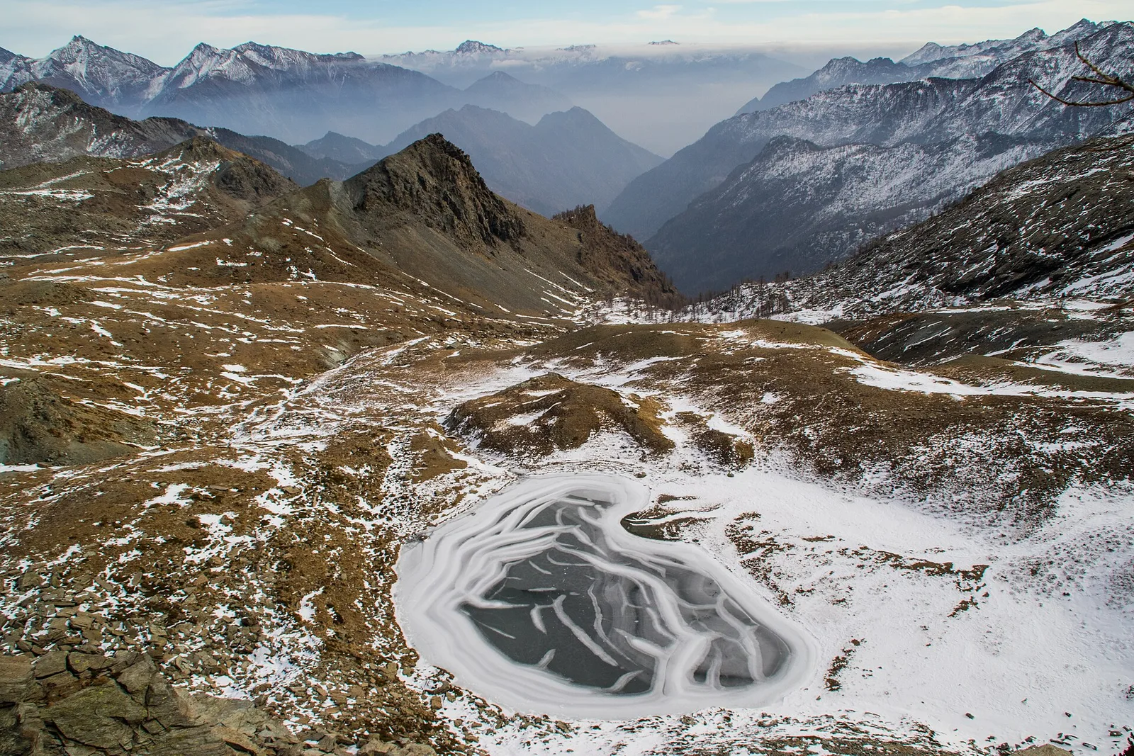
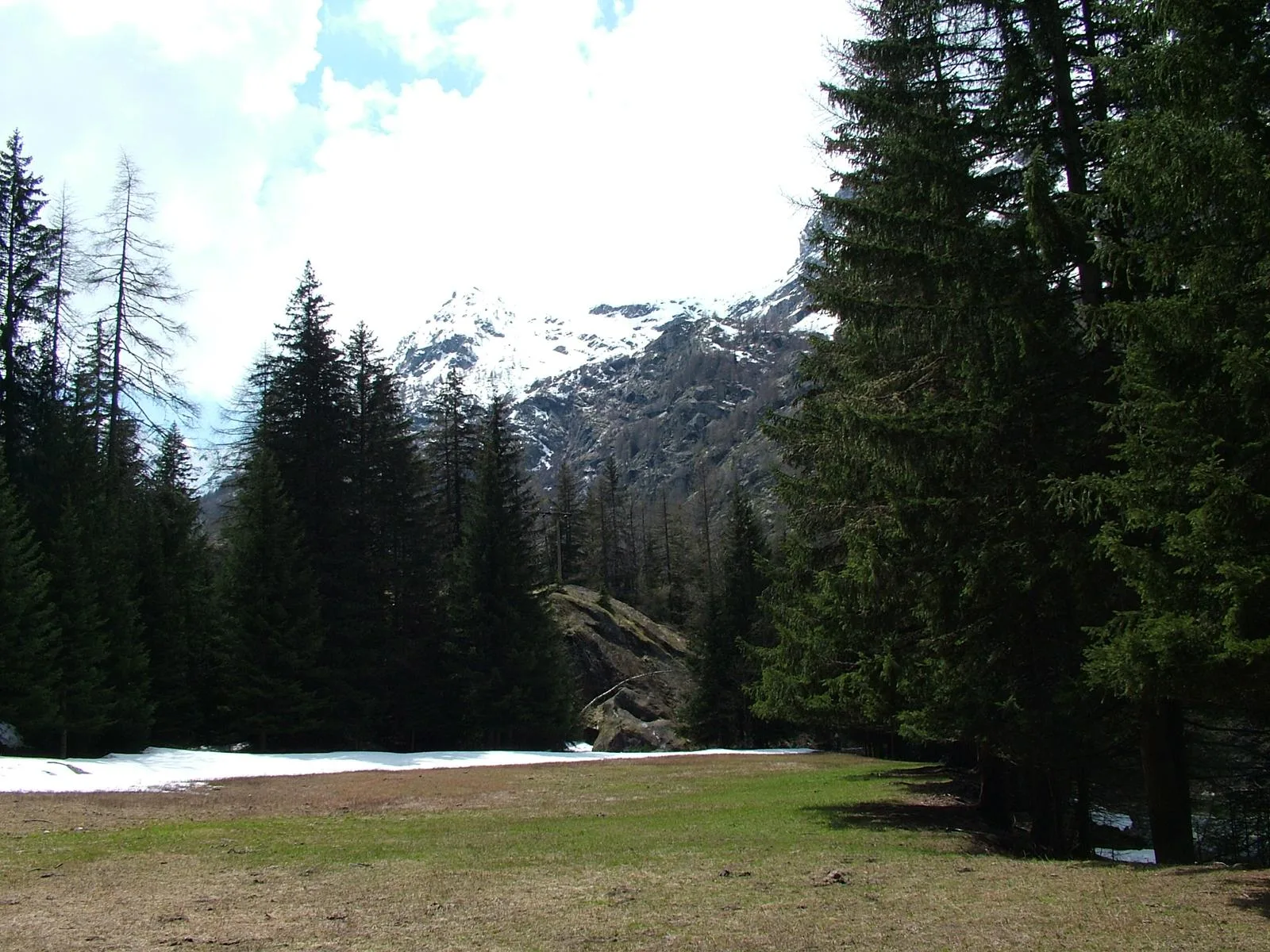
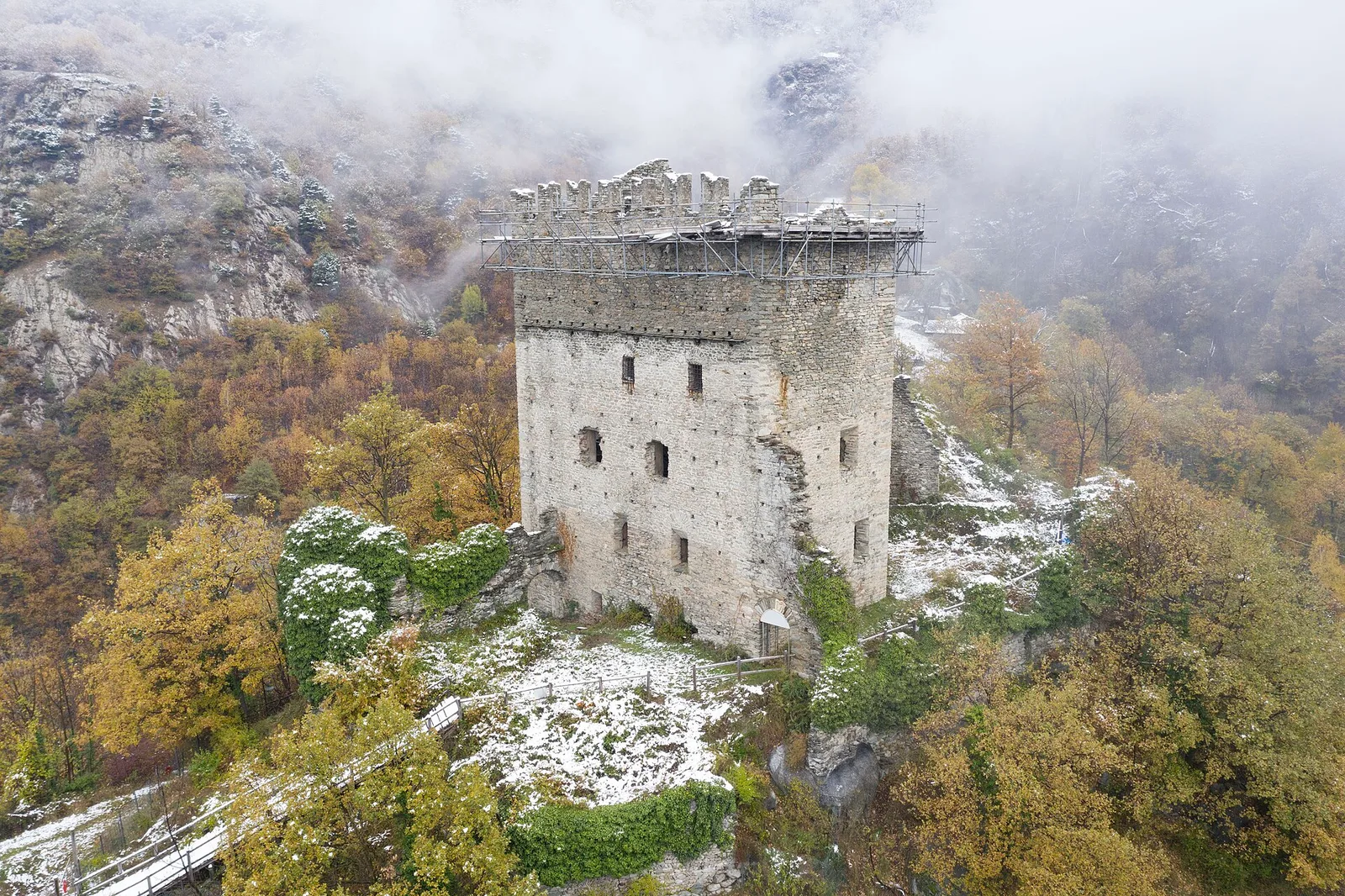
Bassa Valle — Mont Mars
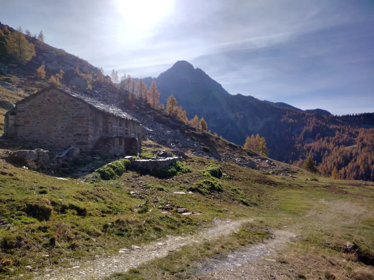
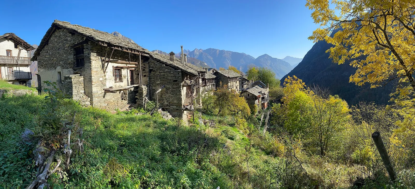
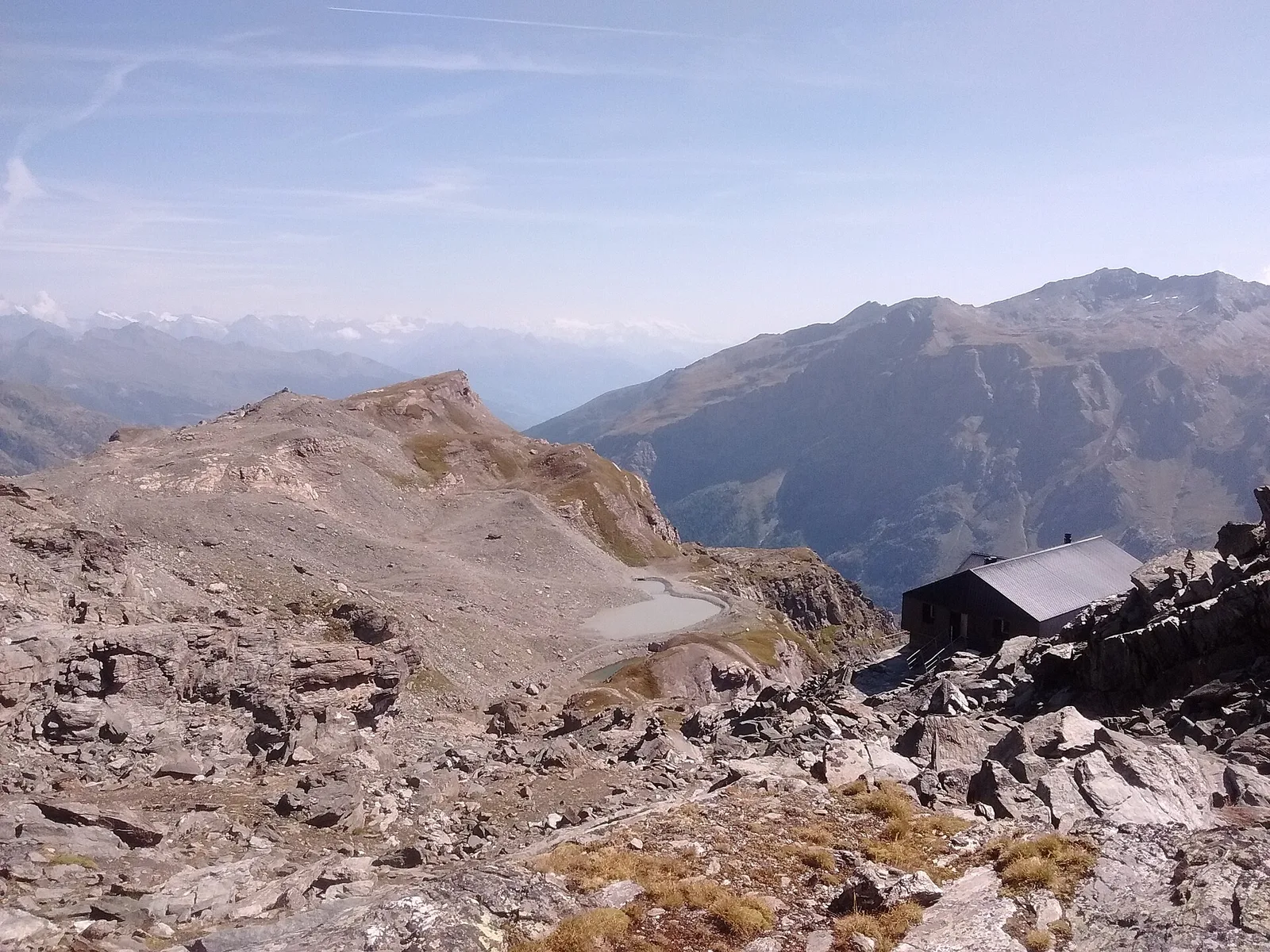
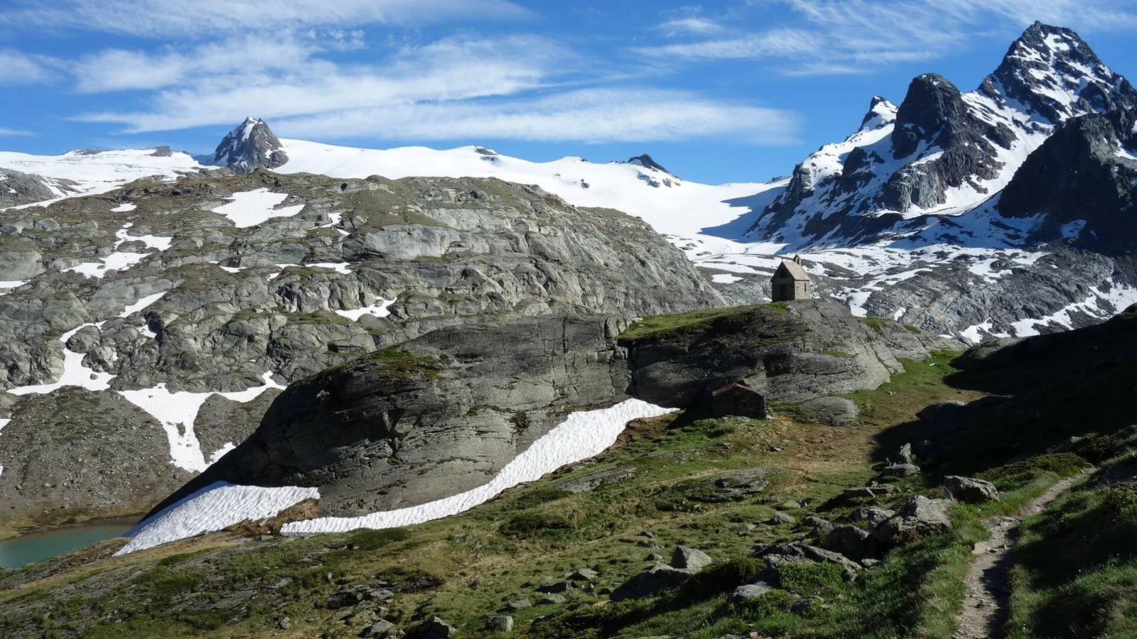
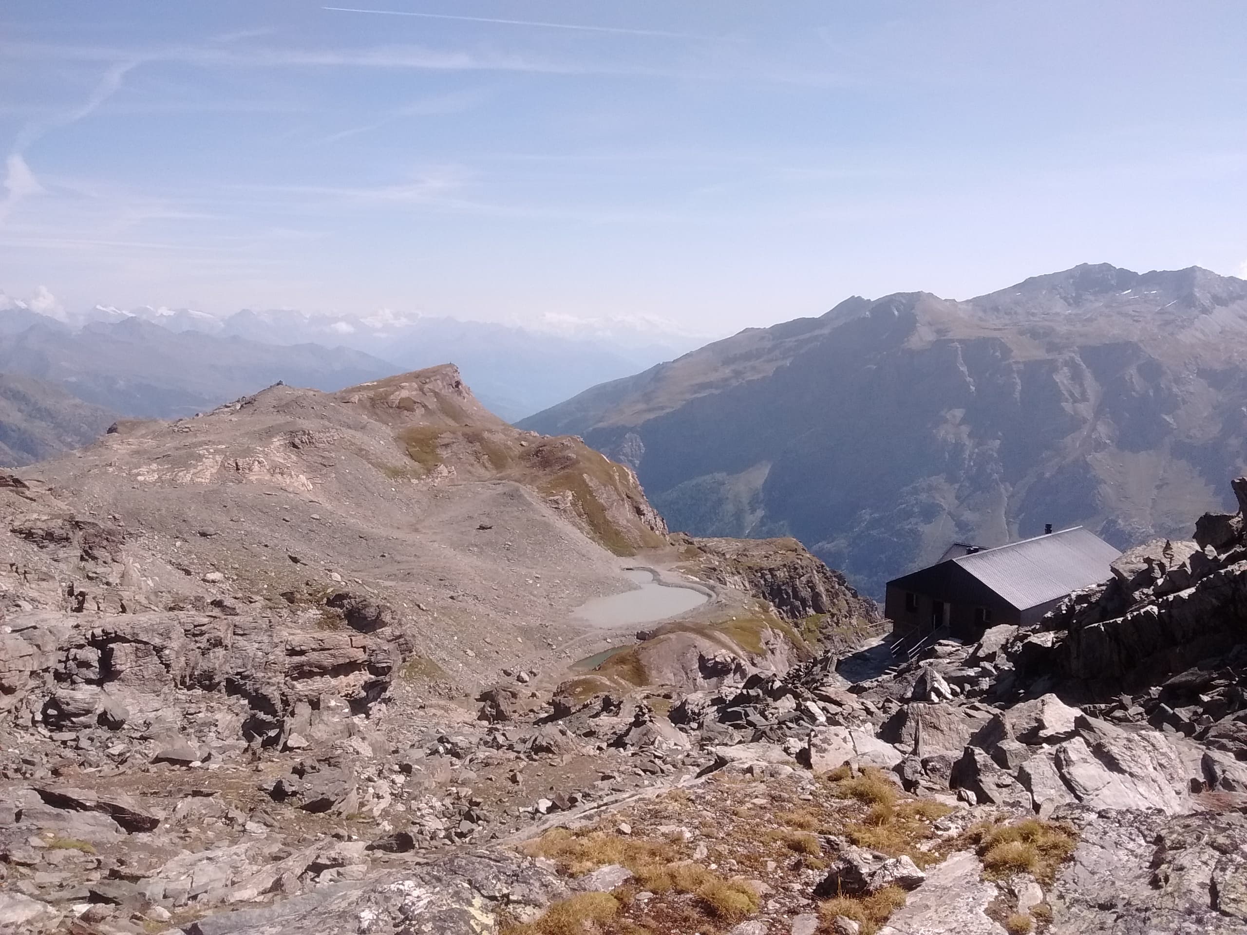
From Perloz hill the trail climbs through Lillianes forest and into the Mont Mars Nature Reserve, where Rifugio Coda at 2280 m opens the view to the high valley.
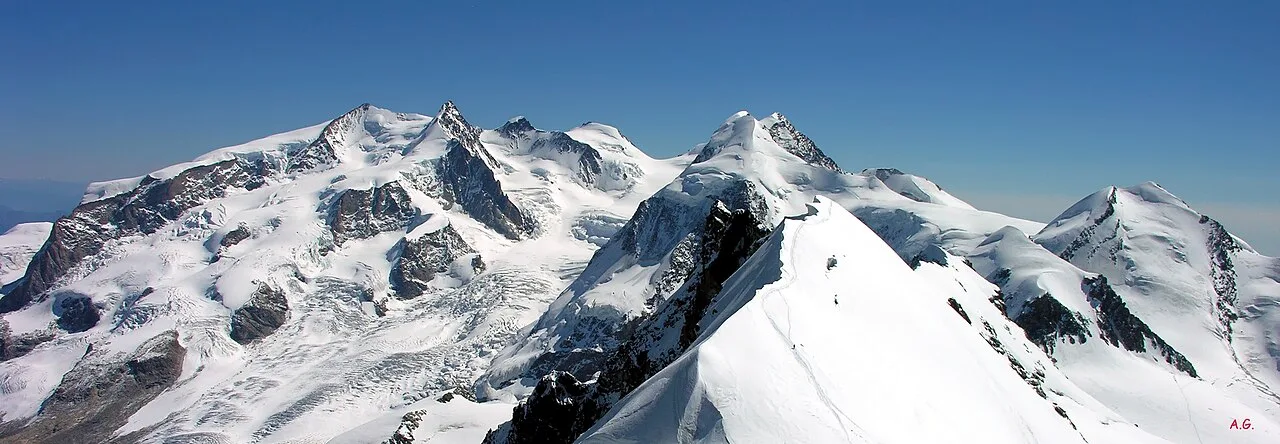
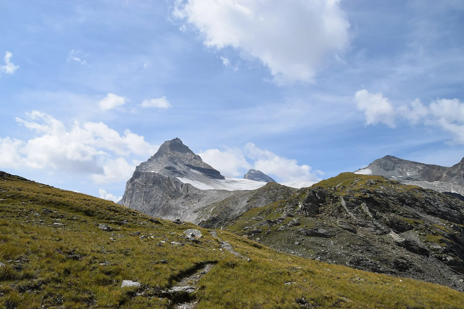
Valle di Gressoney — Valle d'Ayas
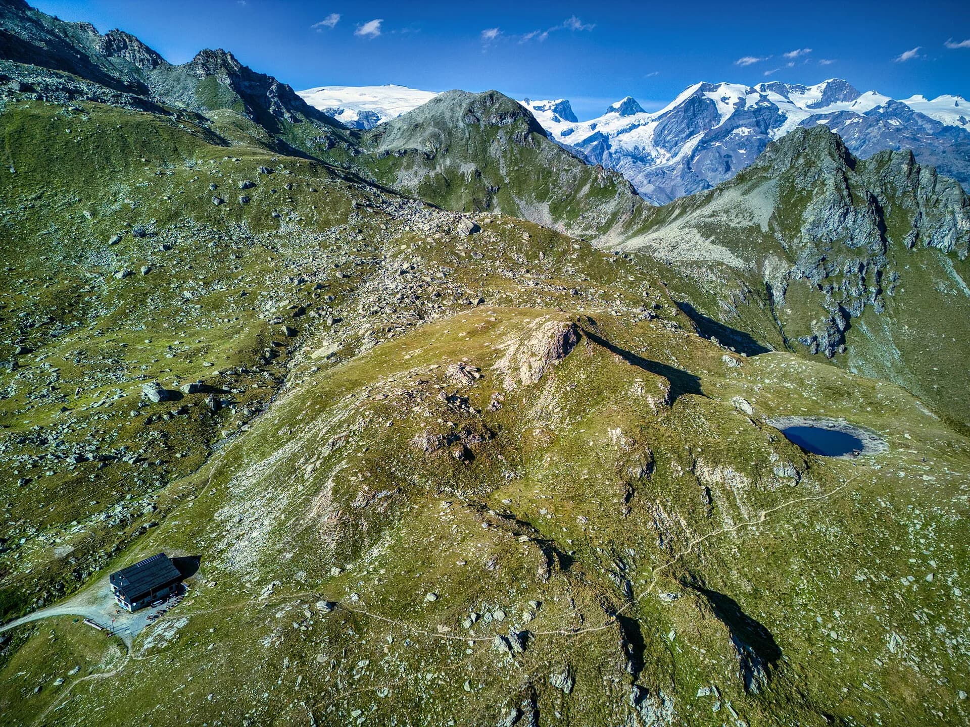
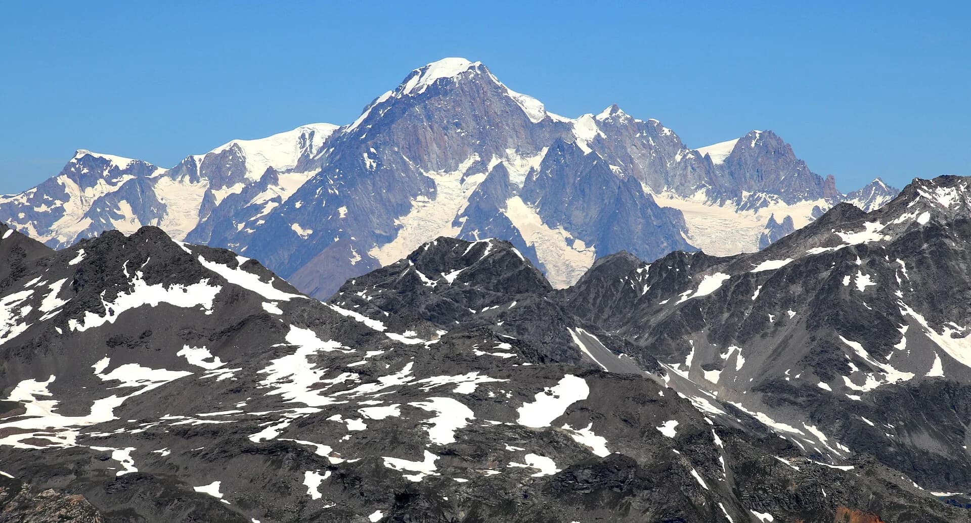
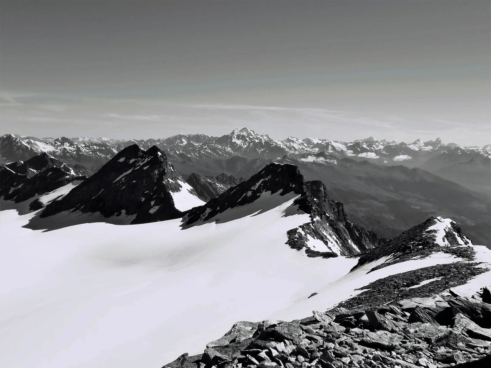
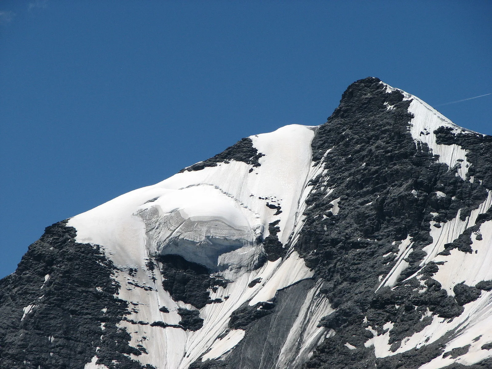
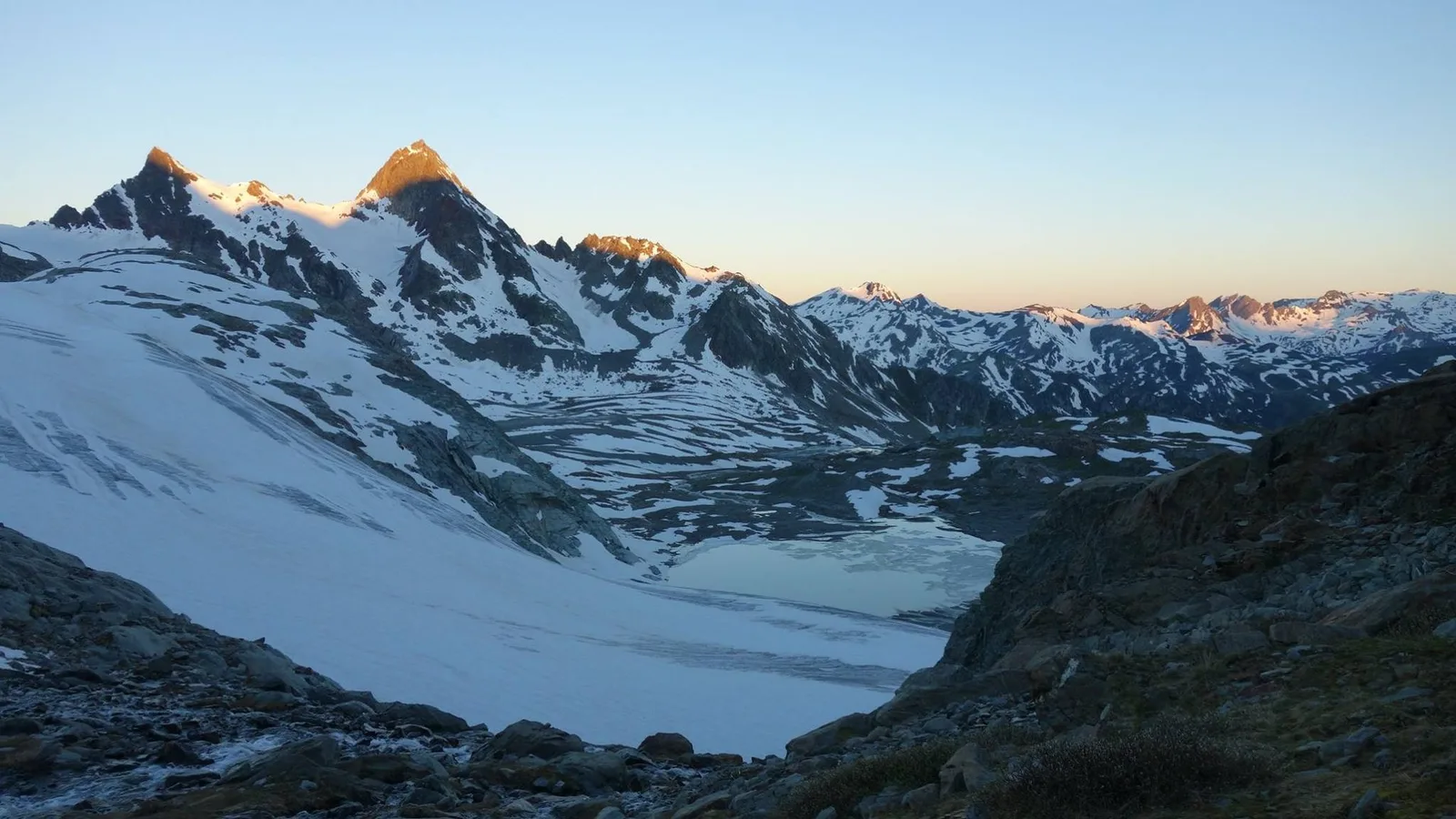
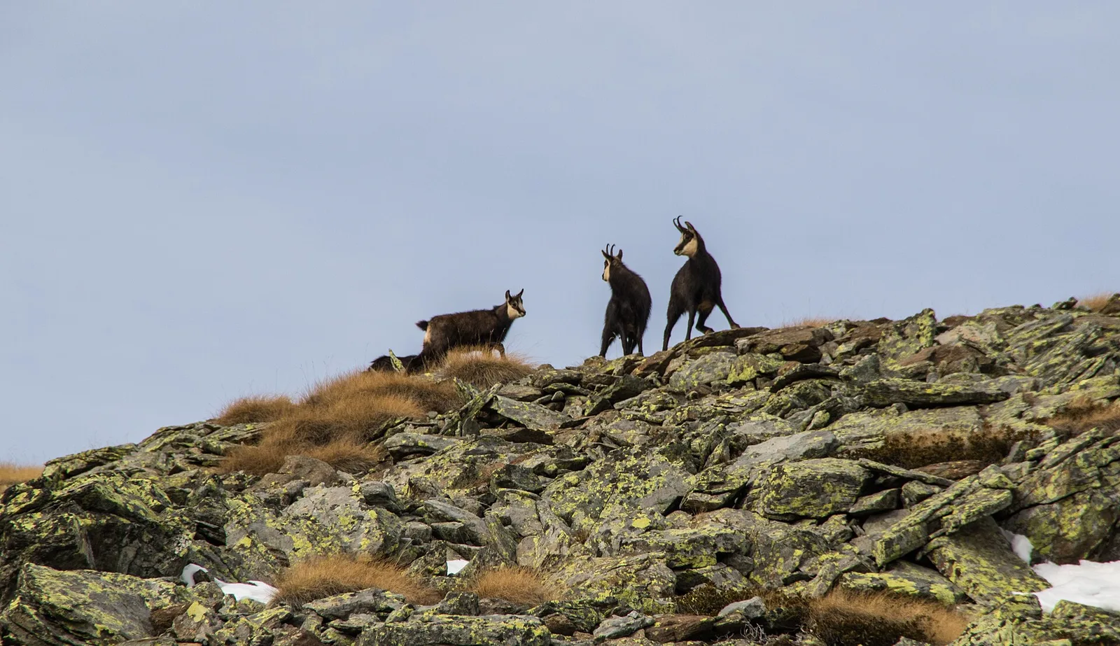
Crossing Col Pinter at 2777 m is the highlight of this stage: a wild pass between two alpine valleys where Monte Rosa dominates the entire eastern horizon.
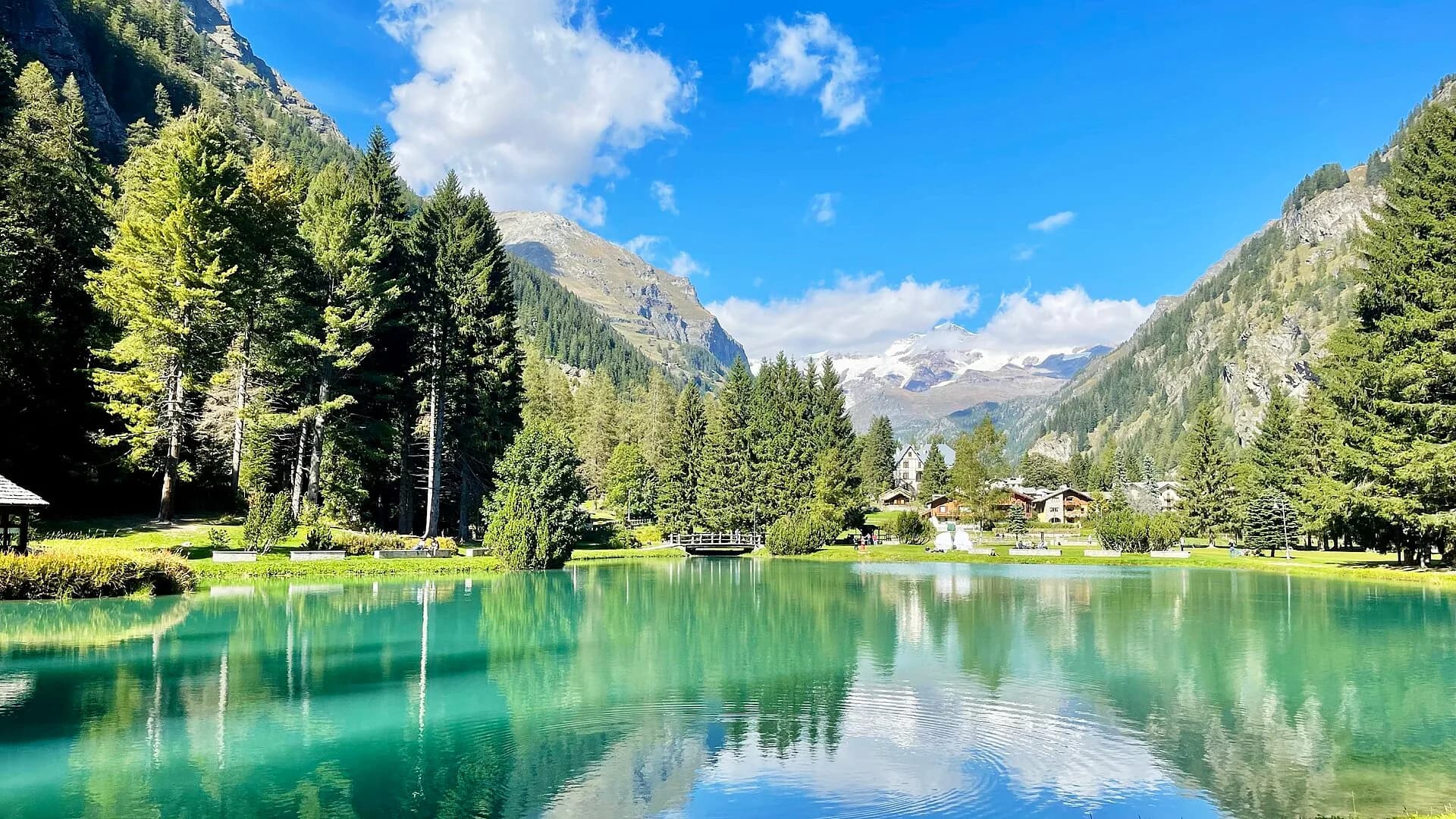
Valle d'Ayas
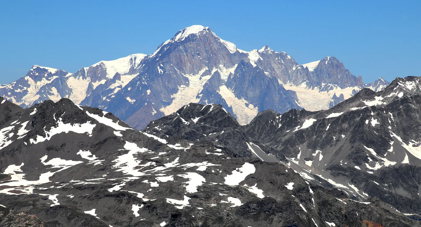
From the ridges above Champoluc to Rifugio Grand Tournalin with the Matterhorn always in view: high-mountain terrain with sweeping panoramas over the Ayas valley and its pastoral landscape.
Bassa Valle
Final AV2 stage: from Retempio sanctuary to Donnas in the valley floor.
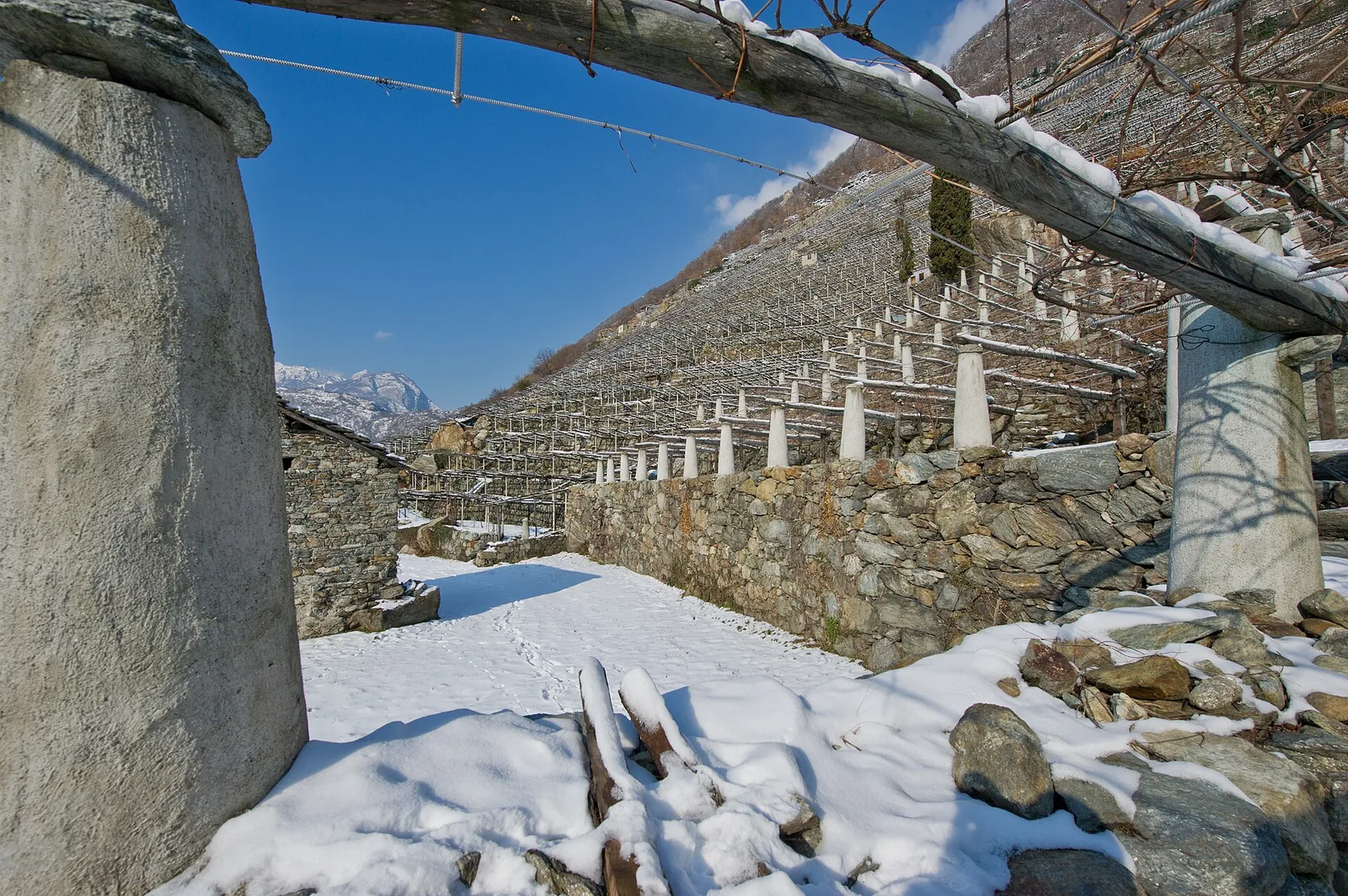
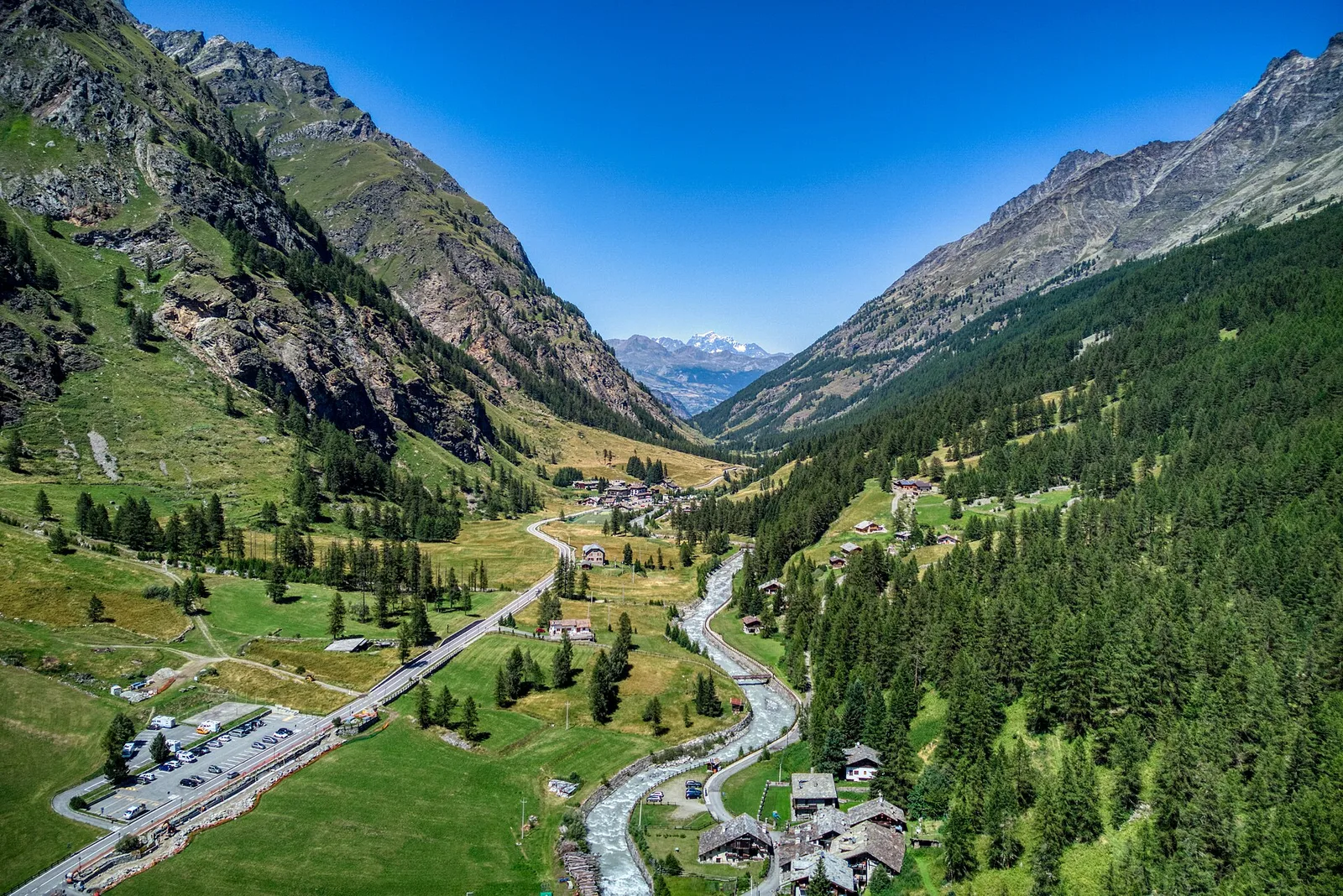
Valgrisenche
Cross Valgrisenche to Rifugio Chalet de l'Épée.
Valgrisenche
Descent from Col Fenêtre to Val di Rhêmes and Rhêmes-Notre-Dame.

Bassa Valle
A short woodland climb from Arsines, above Arnad, to Col Fenêtre: a scenic pass of the lower Aosta Valley.

Valgrisenche
4.9 km · +705 m · E — from Bois de Grillet to Lago di San Grato (Valtournenche).

Bassa Valle
In the commune of Cogne, Gran Paradiso National Park: a climb toward a high-altitude objective in an environment of exceptional natural quality.

Bassa Valle
1.6 km · +397 m · E — from Barme to Carogne (Valtournenche).

Bassa Valle
1.2 km · +284 m · E — from Barme to Omens (Valtournenche).
Bassa Valle
3.9 km · +549 m · E — from Biel to Serra di Biel (Valsavarenche).

Valgrisenche
5 km · +706 m · E — from Bivio strada per Grand Alpe to Col du Mont (Valtournenche).
Valgrisenche
4.7 km · +534 m · E — from Bivio strada per Grand Alpe to Lac Saint-Grat (Valtournenche).
Bassa Valle
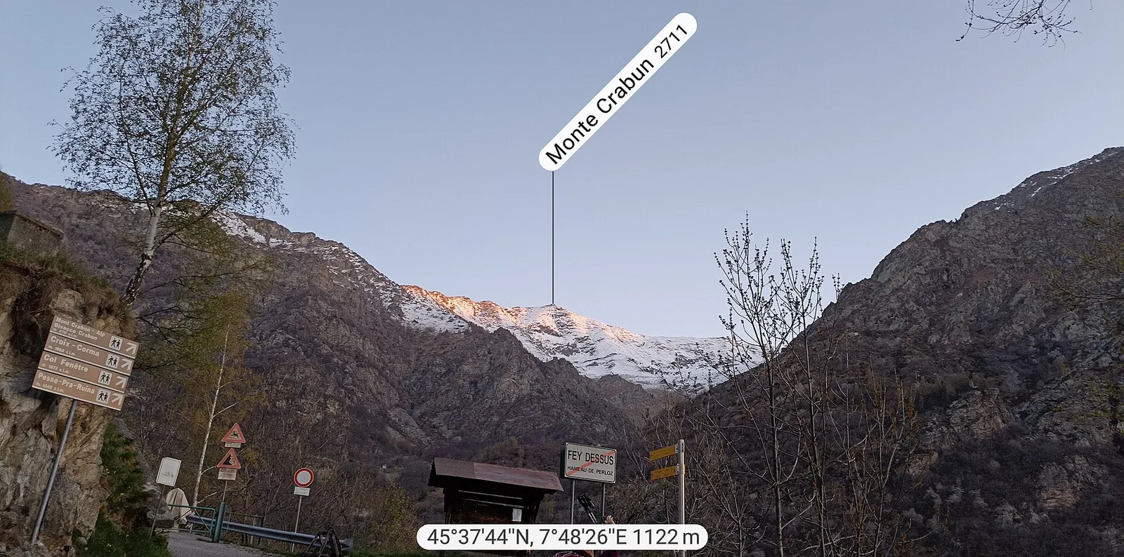
Exceptional ascent from Bonavessy (658 m) to Mont Crabun (2711 m): +2062 m in 8.7 km. Expert hikers only, early start required. EE.

Valgrisenche
8 km · +678 m · E — from Borègne to Plontaz (Valtournenche).
Bassa Valle
1.5 km · +312 m · E — from Bourg to Peredrette (Valtournenche).
Bassa Valle
2.5 km · +427 m · E — from Bourg to Bourg (Valtournenche).
Bassa Valle
6.1 km · +965 m · E — from Bourg to Verale (Valtournenche).
Valgrisenche
4.4 km · +1118 m · E — from Bruil to Col Fenêtre de Torrent (Great St Bernard Valley).
Bassa Valle
2.4 km · +471 m · E — from Cappella Sant'Erasmo to Reserve Naturelle de Holay (Central Valley).
Valgrisenche
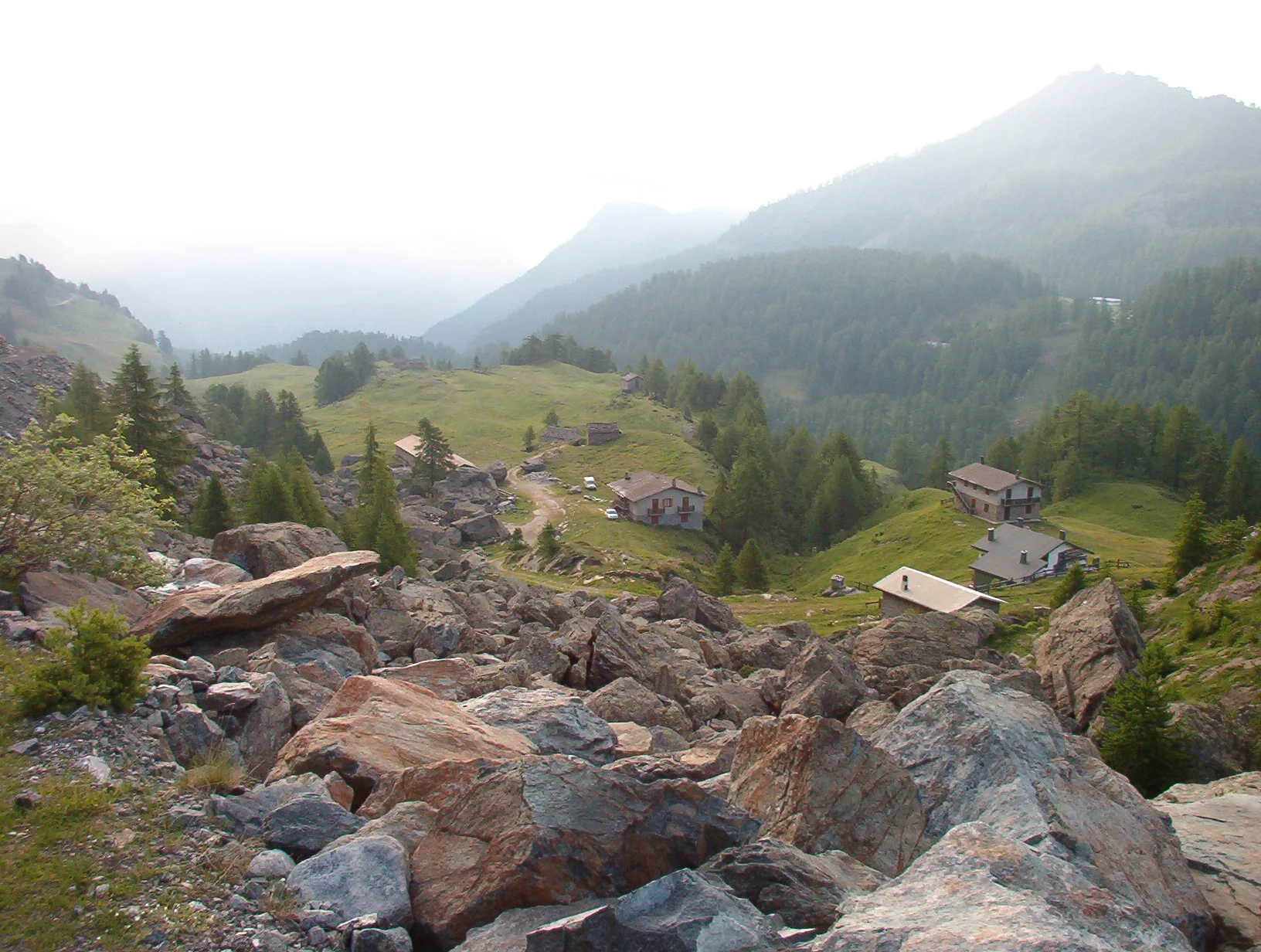
In the Valgrisenche, commune of Arvier: an E-rated climb through forest and meadows toward a high-altitude pasture.
Bassa Valle
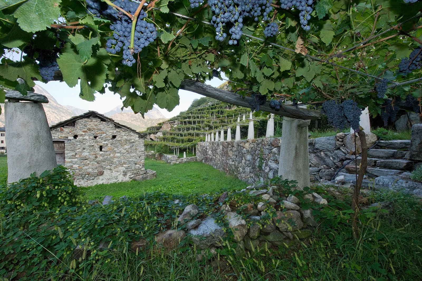
From the valley floor at Chateau Vallaise (454m) to Saint Anne's chapel (1342m): 4.3 km and 921 m of ascent through vineyards, chestnut groves and woodland on the Avise hillside.
Valgrisenche
10.9 km · +1302 m · E — from Surrier to Col Bassac Déré (Valtournenche).
Bassa Valle
32.2 km · +3545 m · EE — from Col de Bonze to Col Laris (Valtournenche).

Bassa Valle
3.3 km · +921 m · E — from Collaré to Mont de Beuby (Central Valley).
Bassa Valle
14.2 km · +1948 m · E — from Crest-Désot to Col de Bonze (Champorcher Valley).
Bassa Valle
3.6 km · +909 m · E — from Croce della Missione to Gias Desot (Valtournenche).
Bassa Valle
4.5 km · +938 m · E — from Fey to Croix Corma (Central Valley).
Bassa Valle
2.5 km · +373 m · E — from Fey to Piatolet (Central Valley).
Valgrisenche
From Grand Haury the route climbs through forest and alpine meadow to the Alpe di Boregne pasture plateau at the foot of Becca Verconey in a quiet Valgrisenche side valley.
Bassa Valle
4.3 km · +659 m · E — from Chiesa di San Giorgio to Biel (Valsavarenche).

Valgrisenche
7.6 km · +1281 m · E — from La Béthaz to Rifugio degli Angeli al Morion (Valtournenche).
Bassa Valle
4.2 km · +1074 m · E — from La Clévaz to Plan Fiou (Valsavarenche).
Bassa Valle
4.8 km · +1134 m · E — from La Raffort - Centrale to Cormoney (Valsavarenche).
Bassa Valle
3.3 km · +642 m · E — from La Raffort to Pian (Valsavarenche).
Bassa Valle
1.3 km · +95 m · T — from Piazza del Municipio to Le tre Goye (Valsavarenche).
Bassa Valle
7.6 km · +1544 m · E — from Lo Pian to Arvueil (Central Valley).
Bassa Valle
6.2 km · +1327 m · E — from Lo Pian to Lac de Panaz (Central Valley).

Bassa Valle
3.9 km · +830 m · E — from Marine to Col Fênetre (Central Valley).
Valgrisenche
2.3 km · +650 m · E — from Melignon to Féleumaz (Central Valley).
Valgrisenche
7.6 km · +1124 m · E — from Menthieu to Lago San Grato (Valtournenche).

Valgrisenche
7.7 km · +299 m · E — from Menthieu, partenza poderale to Incrocio 14A-13/14 (Alpe Revéraz-Dèsot) (Valtournenche).

Valgrisenche
5.7 km · +980 m · E — from Menthieu, partenza poderale to Forclaz du Bré (Valtournenche).

Valgrisenche
5.5 km · +1059 m · E — from Menthieu, partenza poderale to Rifugio degli Angeli al Morion (Valtournenche).

Valgrisenche
7.3 km · +1243 m · E — from Mondanges to Col de Cussunaz (Valtournenche).

Valgrisenche
9.2 km · +1353 m · E — from Mondanges to Col de Feleumaz (Valtournenche).
Valgrisenche
6.6 km · +835 m · E — from Mondanges to Rifugio Chalet de l'Epée (Valtournenche).

Bassa Valle
8.8 km · +1603 m · E — from Monteil to Lac Liet (Valtournenche).
Bassa Valle
3.9 km · +1035 m · E — from Monteil to Montat (Valtournenche).
Bassa Valle
5.8 km · +1334 m · EE — from Outrefer to Mognissola (Valtournenche).
Bassa Valle
3.1 km · +639 m · E — from Outrefer to Pourcil (Valtournenche).
Bassa Valle
1.3 km · +111 m · E — from Rovarey to Croce della Missione (Valtournenche).
Bassa Valle
4.7 km · +579 m · T — from Piazza E.Chanoux to Carogne (Valtournenche).
Bassa Valle
3.8 km · +581 m · E — from Plan de Brun to Fey (Central Valley).
Bassa Valle
2.4 km · +790 m · E — from Saint-Roch to Col de Plan Fenetre (Central Valley).
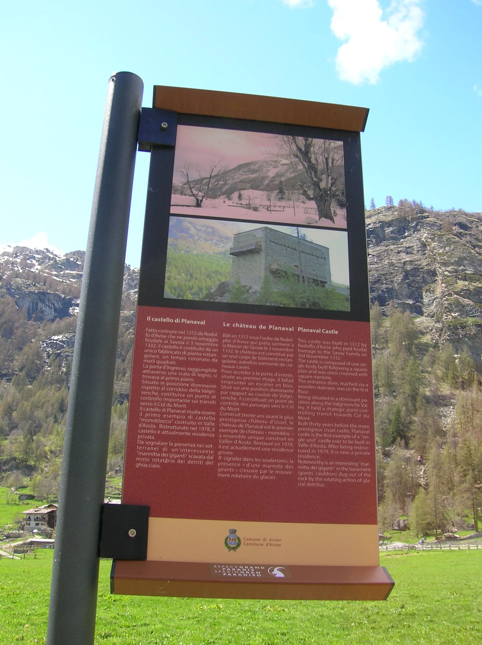
Valgrisenche
From Planaval in the lower Valgrisenche, a well-signed climb to Becca Ceré: pastures, woods and a balcony over the valley and its glaciers.
Valgrisenche
4.7 km · +488 m · E — from Planaval to Miollet (Valtournenche).

Valgrisenche
1.3 km · +319 m · E — from Planté to Verconey damon (Valtournenche).
Bassa Valle
2.2 km · +436 m · E — from Capoluogo to Reserve Naturelle de Holay (Central Valley).
Bassa Valle
5 km · +873 m · E — from Pramotton to Innesto Baraton (Valtournenche).
Bassa Valle
9 km · +1546 m · E — from Pramotton to Alpe Bonze (Valtournenche).
Bassa Valle
5.5 km · +1218 m · E — from Pramotton to Fontanet (Valtournenche).
Bassa Valle
1.3 km · +234 m · E — from Pramotton to Tour Pramotton (Valtournenche).
Valgrisenche
In the Valgrisenche the route climbs through forest and meadows toward upper pastures: an E-rated itinerary in the commune of Arvier.
Valgrisenche
3.1 km · +480 m · E — from Confine comunale Arvier, Revers to Borègne (Valtournenche).

Valgrisenche
4.2 km · +198 m · E — from Confine comunale Arvier, Revers to Valgrisenche (Valtournenche).
Valgrisenche
5 km · +800 m · E — from Rifugio Benevolo to Col Bassac Déré (Great St Bernard Valley).
Valgrisenche
6.1 km · +274 m · E — from Rifugio Benevolo to Incrocio Alpe Goletta (Great St Bernard Valley).
Valgrisenche
4.5 km · +877 m · E — from Rifugio Bezzi to Col Bassac (Valtournenche).
Valgrisenche
5.3 km · +807 m · E — from Rifugio Bezzi to Col Bassac Deré (Valtournenche).
Valgrisenche
4 km · +556 m · E — from Rifugio Bezzi to Col de Vaudet (Valtournenche).
Valgrisenche
4.5 km · +594 m · E — from Rifugio Bezzi to Col du Lac Noir (Valtournenche).
Valgrisenche
2.8 km · +495 m · E — from Rifugio Bezzi to Lac St-Martin (Valtournenche).

Valgrisenche
1.6 km · +341 m · E — from Rifugio Bezzi to Lac Vert (Valtournenche).

Valgrisenche
9.4 km · +691 m · E — from Rifugio Bezzi to Rif. Chalet de l'Epée (Valtournenche).
Valgrisenche
3.1 km · +475 m · E — from Rifugio Chalet de l'Epée to Col Fenêtre de Torrent (Valtournenche).
Valgrisenche
4.3 km · +507 m · E — from Rocher (inizio divieto) to Rifugio Chalet de l'Epée (Valtournenche).
Bassa Valle
2.6 km · +828 m · E — from Rovarey to Jas Dèsot (Valtournenche).
Bassa Valle
6.2 km · +567 m · E — from Rovarey to Santuario Notre Dame de la Garde (Valtournenche).
Bassa Valle
4.8 km · +1070 m · E — from Saint-Roch to La Borney (Central Valley).
Bassa Valle
3.8 km · +1070 m · E — from Saint-Roch to La Borney (Central Valley).
Bassa Valle
2.9 km · +391 m · E — from Poline desot to Ronchas (Central Valley).
Bassa Valle
2.4 km · +355 m · E — from Strada to Omens (Valtournenche).

Valgrisenche
5.8 km · +841 m · E — from Surrier to Col du Mont (Valtournenche).

Valgrisenche
6.3 km · +1091 m · E — from Surrier, bivio poderali to Bivacco Ravelli (Valtournenche).
Valgrisenche
5.5 km · +495 m · E — from Surrier to Rifugio Bezzi (Valtournenche).

Valgrisenche
4.8 km · +582 m · E — from Surrier, bivio poderali to Rifugio Chalet de l'Epée (Valtournenche).
Bassa Valle
12.9 km · +1737 m · E — from Bourg to Sassa (Valtournenche).

Valgrisenche
12.3 km · +998 m · E — from Planaval to Rifugio Chalet de l'Epée (Valgrisenche).
Bassa Valle
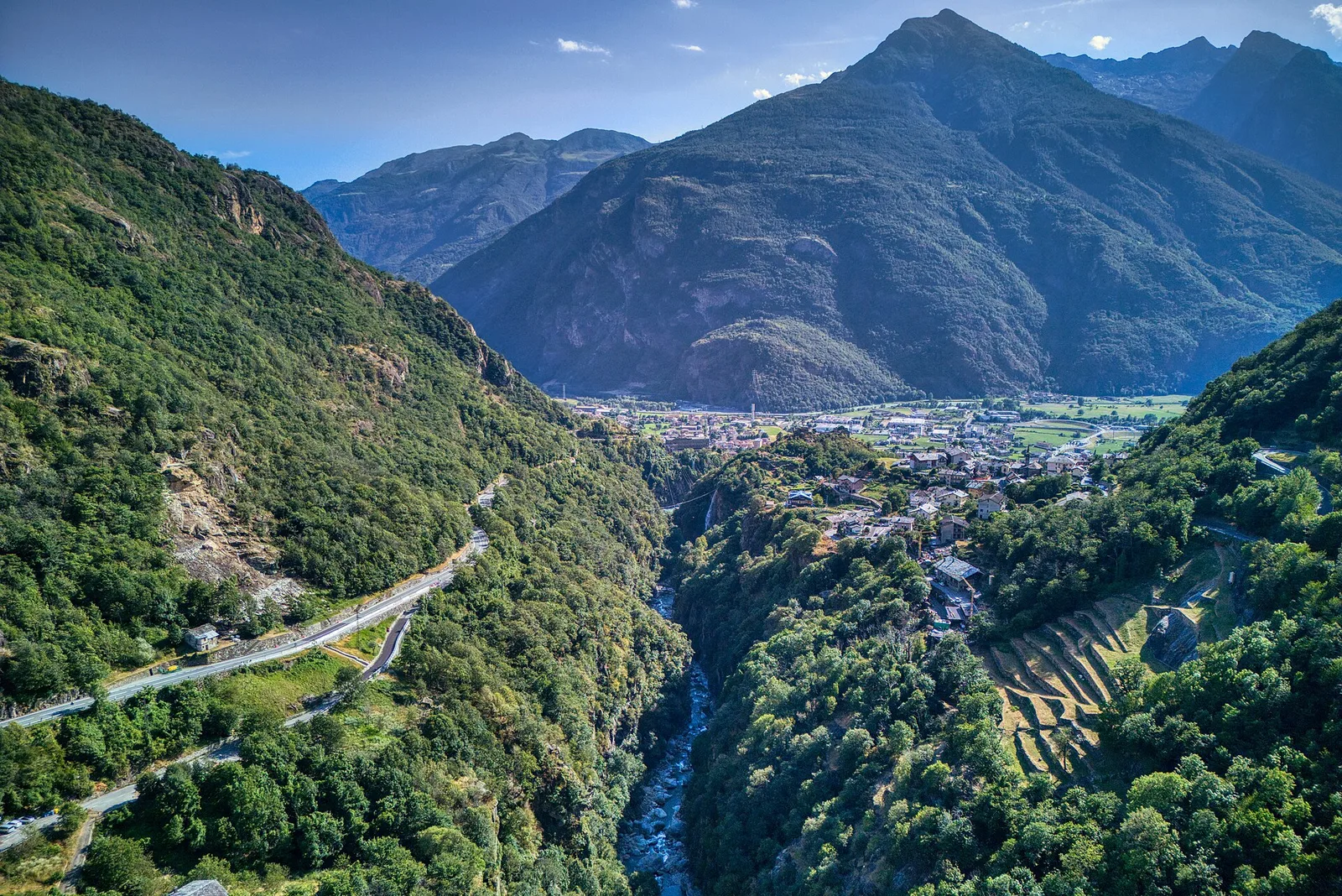
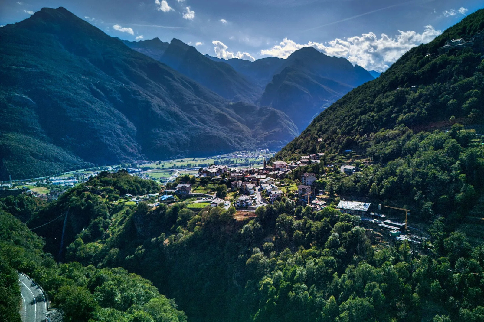
8.7 km · +938 m · E — from Pont-Saint-Martin to Lillianes (Central Valley).
Bassa Valle
15.7 km · +0 m · E — from Fontainemore to Donnas (Lys Valley).

Bassa Valle
12.8 km · +1126 m · E — from Donnas to Arnad (Valtournenche).
Bassa Valle
12.6 km · +1160 m · E — from Arnad to Challand-Saint-Victor (Central Valley).
Bassa Valle
21.1 km · +0 m · E — from Châtillon to Verrès (Valdigne).
Bassa Valle
13.2 km · +0 m · E — from Pontboset to Pont-Saint-Martin (Champorcher Valley).
Bassa Valle
19.3 km · +0 m · E — from Châtillon to Verrès (Valdigne).
Bassa Valle
14.9 km · +0 m · E — from Verrès to Pont-Saint-Martin (Valtournenche).

Bassa Valle
1.3 km · +0 m · E — from Arnad to Donnas (Central Valley).
Bassa Valle
6.3 km · +0 m · E — from Donnas to Pont-Saint-Martin (Valtournenche).
Bassa Valle
0.8 km · +0 m · E — from Tour d'Hereraz to Perloz (Central Valley).

Valgrisenche
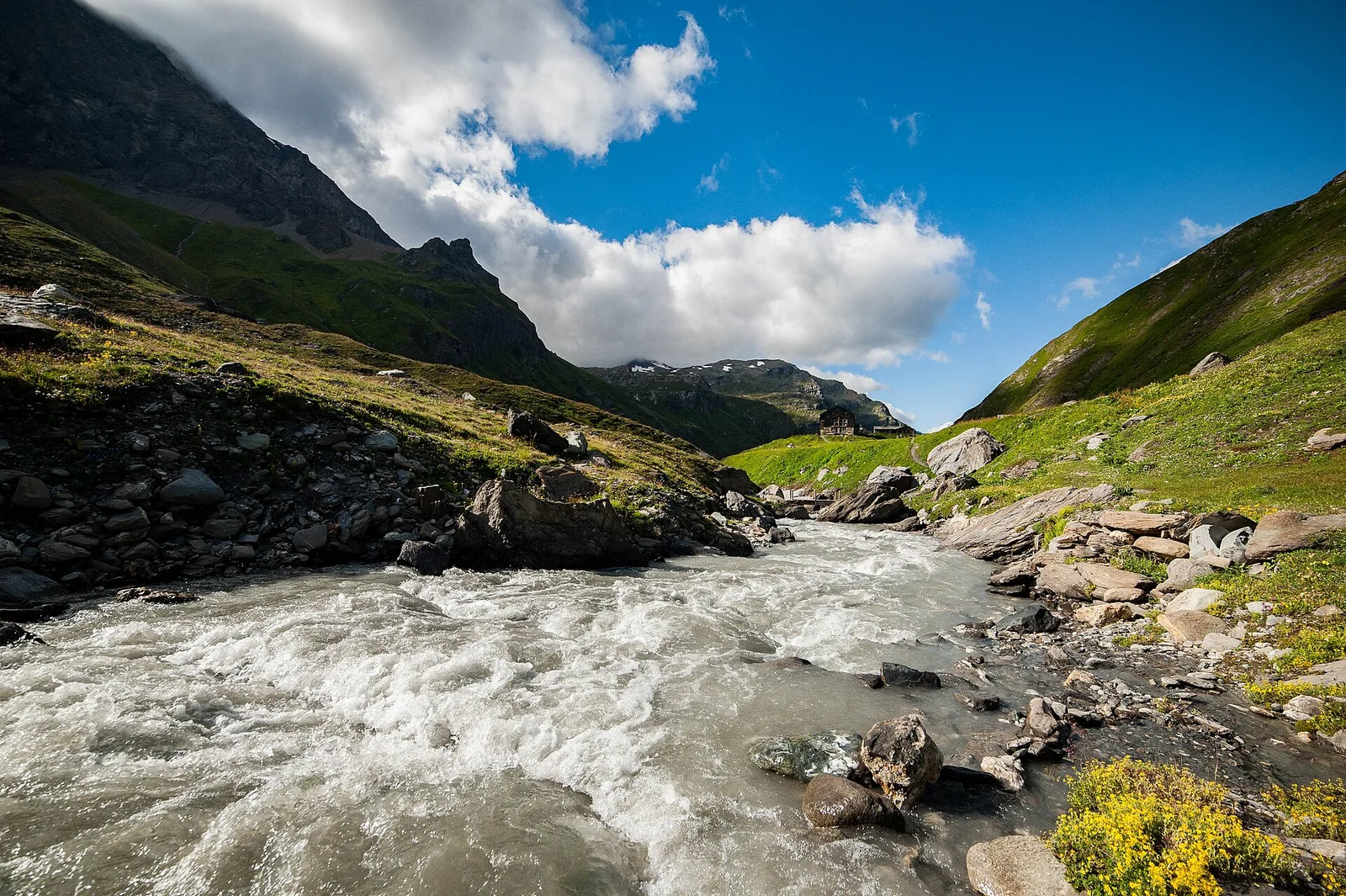
A short breather along the Dora di Valgrisenche.
Valgrisenche
3 km · +586 m · E — from Usellières to Rifugio Chalet de l'Epée (Valtournenche).
Valgrisenche
4.2 km · +582 m · E — from Valgrisenche to Arp Vieille (Valtournenche).
Valgrisenche
5.3 km · +963 m · E — from Valgrisenche to Becca dei Quattro Denti (Valtournenche).
Bassa Valle
1.4 km · +312 m · T — from Piazza R.Challand to Croix de Saint-Gilles (Valtournenche).
Bassa Valle
3.7 km · +616 m · E — from Vesey damon to Lac de Panaz (Central Valley).