Trail guide
The best hikes in Champoluc and the Ayas Valley
The best hikes in Champoluc and the Ayas Valley: 13 selected trails with difficulty, distance, elevation gain and links to the route pages. Sentieri VdA guide.
Champoluc and the Ayas Valley open the south side of Monte Rosa: the Resy basin and its refuges, the Palasinaz lakes, the Colle Pinter and views of Castor and the Breithorn among larch woods and pastures.
This guide gathers the best trails in the area, all from the Sentieri VdA catalogue: for each one you get the CAI difficulty, distance, elevation gain and a direct link to the route page with map, elevation profile, photos and the day’s weather.
Every itinerary below uses real data from the Aosta Valley trail registry — waymark numbers, distances and elevation gain — and links to the full page with satellite map, GPX track, elevation profile and the nearest town’s weather. Always check conditions before setting off: at altitude the weather changes fast and some passes stay snow-covered into early summer.
Selected trails
High Route 1 — Stage 6: Gressoney-Saint-Jean → Rifugio Vieux Crest
12.7 km · +1427 m · EE — from Gressoney-Saint-Jean to Rifugio Vieux Crest.
Stage six of High Route 1 ranks among the most iconic of the entire route: it climbs from Gressoney-Saint-Jean to Col Pinter at 2777 metres — the pass dividing the Gressoney valley from the Ayas valley — across high meadows where ibex sightings are common in the early morning hours.
Tour Monte Rosa — Stage 10: Saint-Jacques → Gressoney-Saint-Jean
17.5 km · +1297 m · EE — from Saint-Jacques to Gressoney-Saint-Jean.
From Saint-Jacques descend along the Evançon to Champoluc, then climb the Cunéaz valley to the Pinter pass (2,777 m), with the four-thousanders of Monte Rosa back on the horizon. The descent through the Loo valley, among Walser pastures, returns to Gressoney-Saint-Jean, closing the loop.
High Route 1 — Stage 7: Rifugio Vieux Crest → Rifugio Grand Tournalin
11.6 km · +1162 m · EE — from Rifugio Vieux Crest to Rifugio Grand Tournalin.
Stage seven is one of the most varied on the entire Alta Via 1: leaving Rifugio Vieux Crest, the trail descends into the Résy valley before climbing steadily across the ridges above Champoluc, with the Matterhorn's profile sharpening on the horizon as altitude increases.
Tour Monte Rosa — Stage 9: Breuil-Cervinia → Saint-Jacques
15.6 km · +1004 m · E — from Breuil-Cervinia to Saint-Jacques.
From Breuil-Cervinia climb to the upper Cime Bianche pass (2,982 m), a grand viewpoint over the Matterhorn and the Monte Rosa glaciers, then descend the wild Cime Bianche valley to Saint-Jacques (1,689 m), the last village of the Ayas valley.
High Route 1 — Stage 8: Rifugio Grand Tournalin → Valtournenche
8.7 km · +309 m · E — from Rifugio Grand Tournalin to Valtournenche.
Stage eight is the longest descent in the central sequence of Alta Via 1: from Rifugio Grand Tournalin at 2535 metres the trail drops over a thousand metres to the valley floor of Valtournenche, the main village of the valley that hosts the Breuil-Cervinia ski resort above.
Saint-Jacques - Rifugio Quintino Sella
9.5 km · +1907 m · EEA — from Saint-Jacques to Rifugio Quintino Sella.
A serious mountaineering route rated EEA (expert hikers with equipment), climbing from Saint-Jacques (1719 m) to the Rifugio Quintino Sella at 3602 m on the Felik Glacier — 1907 m of gain over 9.5 km.
Blanchard - Passo Superiore Bettolina - Rifugio Sella
9.4 km · +1869 m · EE — from Blanchard to Rifugio Quintino Sella.
One of the most demanding trails in the entire Aosta Valley network, this 9.4-kilometre route ascends nearly 1869 metres from Blanchard (1731 m) to the Rifugio Quintino Sella at 3593 metres, in the high glacial environment of the Monte Rosa massif.
Champoluc - Testa Grigia
8.2 km · +1814 m · EEA — from Champoluc to Testa Grigia.
The ascent from Champoluc to Testa Grigia is the most ambitious hiking itinerary in the Val d'Ayas: 8.2 km and 1814 m of elevation gain lead from 1569 m in the village to 3315 m at the glacial boundary between the Italian and Swiss flanks.
Zer Schmettò - Bivacco Lateltin
7.1 km · +1699 m · EE — from Zer Schmettò to Bivacco Lateltin.
A long, demanding climb from Gressoney-Saint-Jean to the Ulrich Lateltin bivouac, set in a panoramic spot on the way to the Testa Grigia. The trail climbs the valleys on the right flank among pastures, scree and rocky steps (EE), gaining height towards one of the highest balconies over Monte Rosa's south face.
Amponey - Becca Trecare
7.5 km · +1488 m · EE — from Amponey to Becca Trecare.
One of the most demanding routes in the central Aosta Valley: from Amponey at 1550 metres the trail climbs relentlessly to the Becca Trecare summit at 3032 metres, gaining nearly 1500 metres over 7.5 kilometres.
TAPPA 06: Gressoney-Saint-Jean - Crest
12.7 km · +1425 m · E — from Capoluogo to Crest.
TAPPA 06: Gressoney-Saint-Jean - Crest is an official trail from the Aosta Valley trail registry (code AV1_S6). The route lies in the municipality of Hône, in the Champorcher Valley. From Capoluogo (1386 m) to Crest (1925 m): 12.7 km with +1425 m of elevation change, difficulty E (CAI scale).
TAPPA 07: Crest - Rifugio Grand Tournalin
11.4 km · +1165 m · E — from Crest to Rifugio Grand Tournalin.
TAPPA 07: Crest - Rifugio Grand Tournalin is an official trail from the Aosta Valley trail registry (code AV1_S7). The route lies in the municipality of Avise, in the Central Valley. From Crest (1925 m) to Rifugio Grand Tournalin (2542 m): 11.4 km with +1165 m of elevation change, difficulty E (CAI scale).
Frachey - Col du Rothorn
5.7 km · +1094 m · EE — from Frachey to Col du Rothorn.
From Frachey (1620 m) in the Val d'Ayas, Avise, this trail climbs directly to the Col du Rothorn at 2692 m, a high pass linking Val d'Ayas to the Valle centrale. Over 5.7 km and 1094 metres of ascent, the terrain transitions from forested lower slopes through steep grassy ridges to rocky, exposed ground near the col.
Explore the full catalogue on the Trails page and plan your next hike in the Aosta Valley.
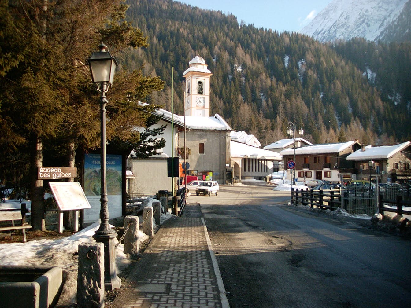
Cover photo: No machine-readable author provided. Dogbrain assumed (based on copyright claims). · Public domain