
EE
Valle centrale
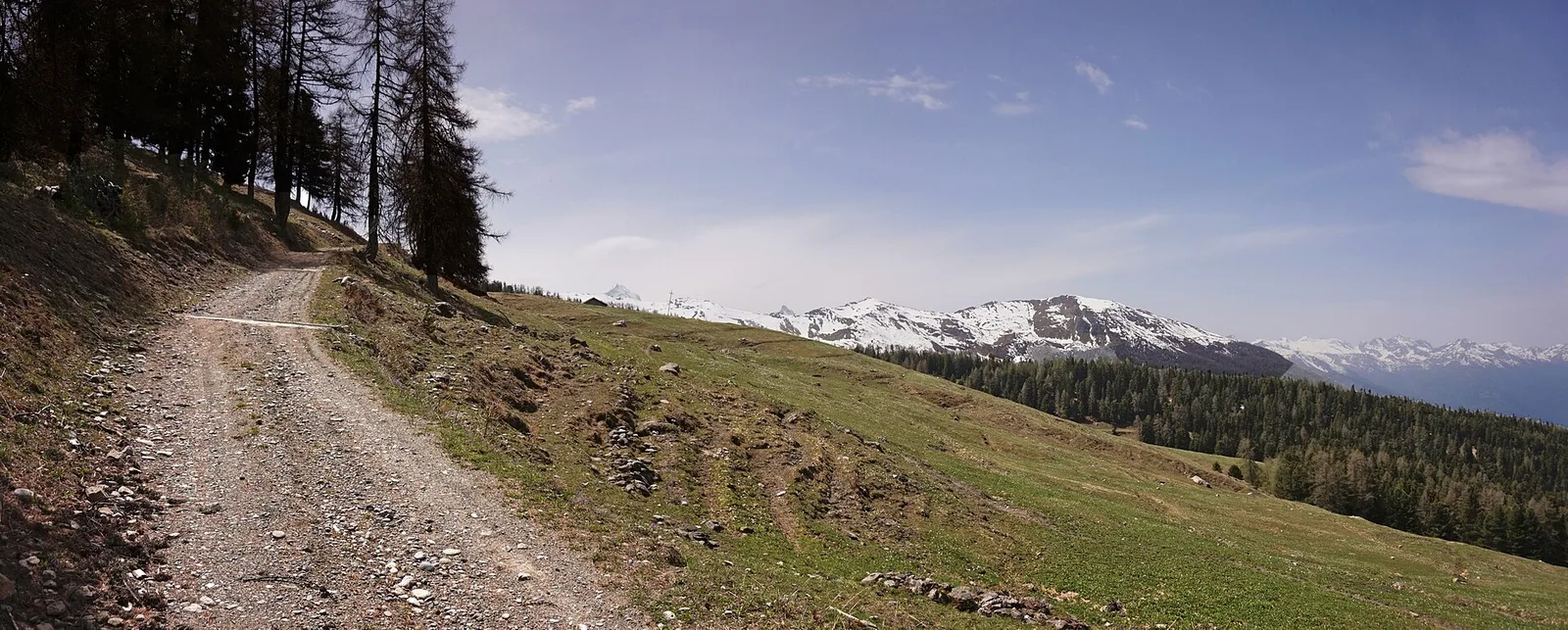
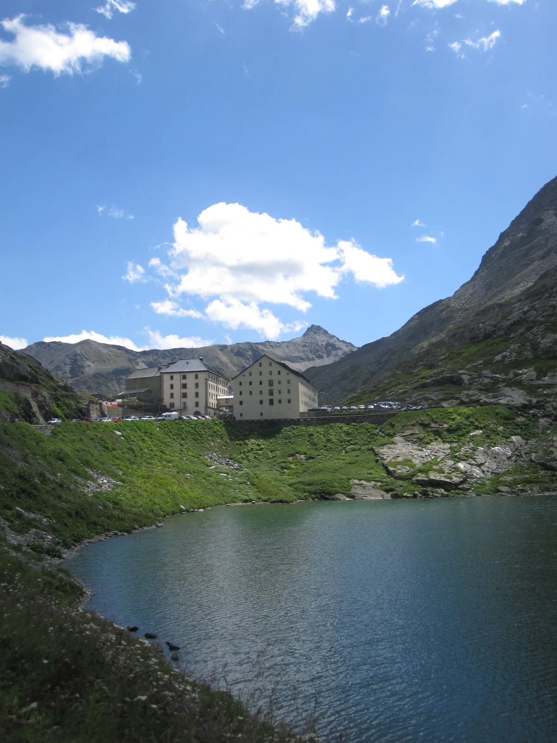
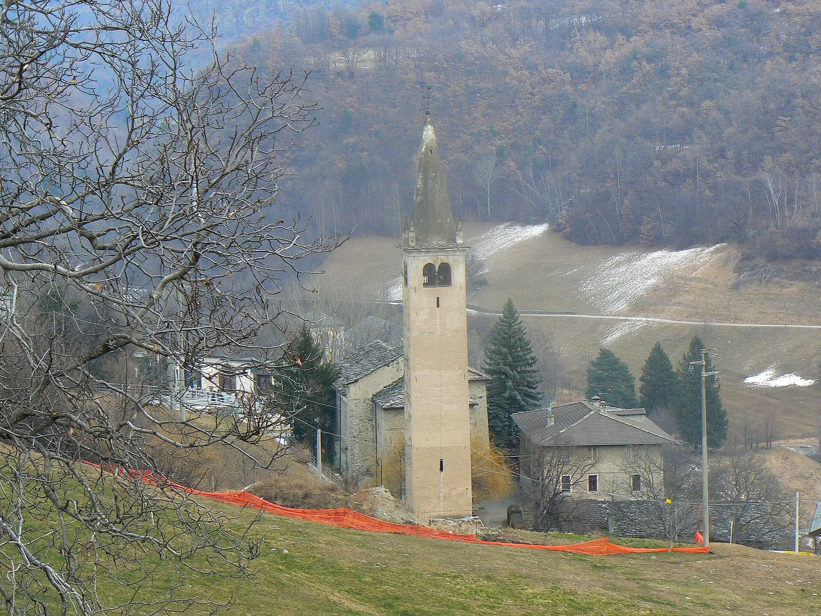
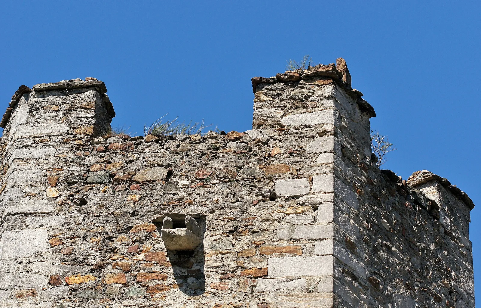
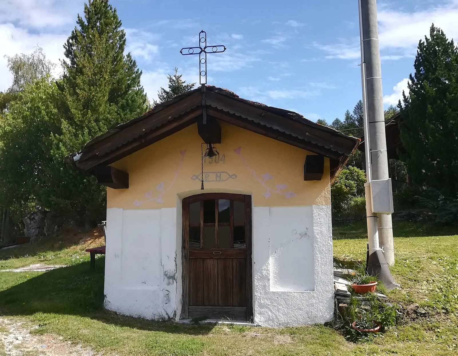
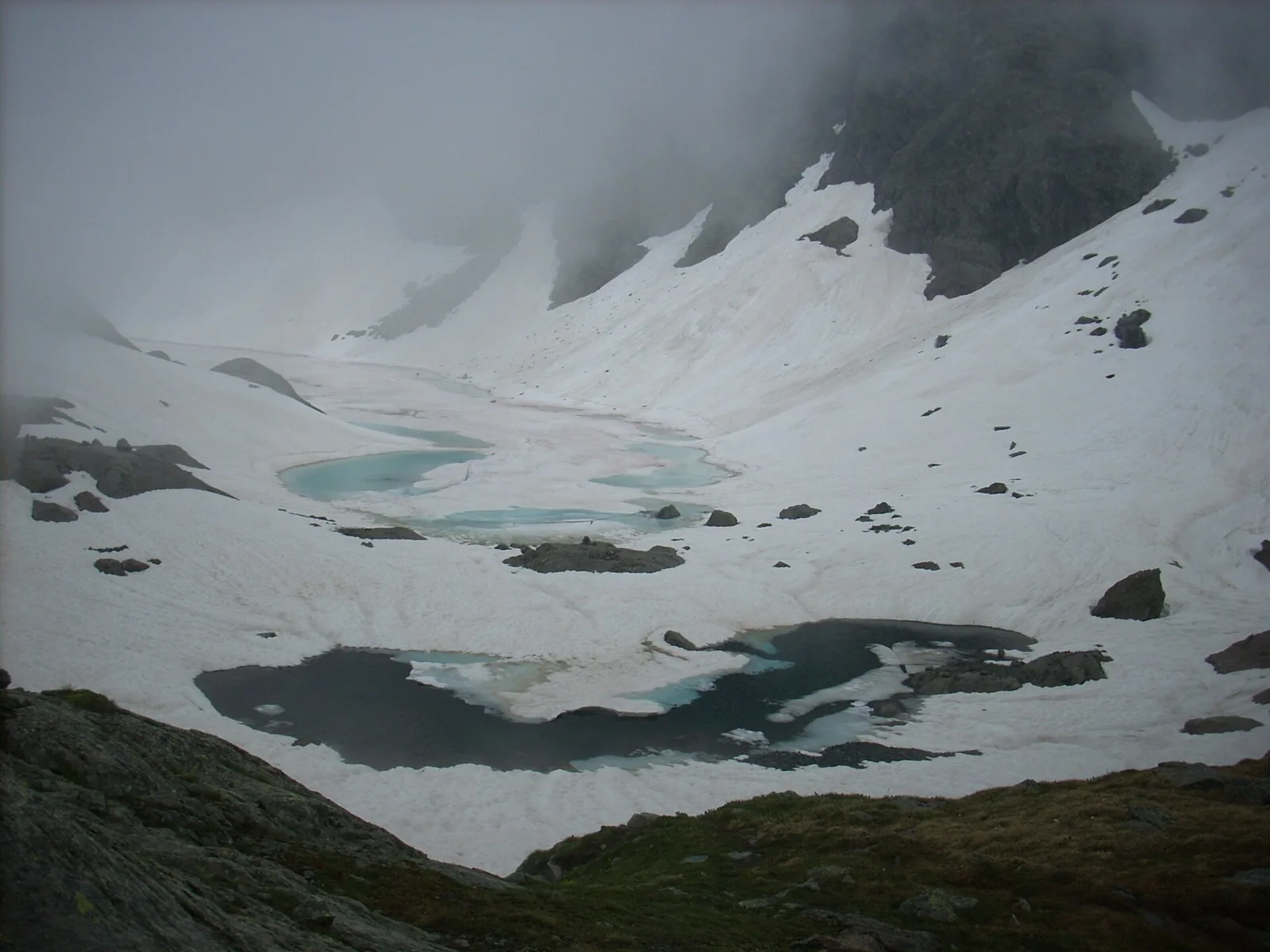
Amponey - Mont Facebelle
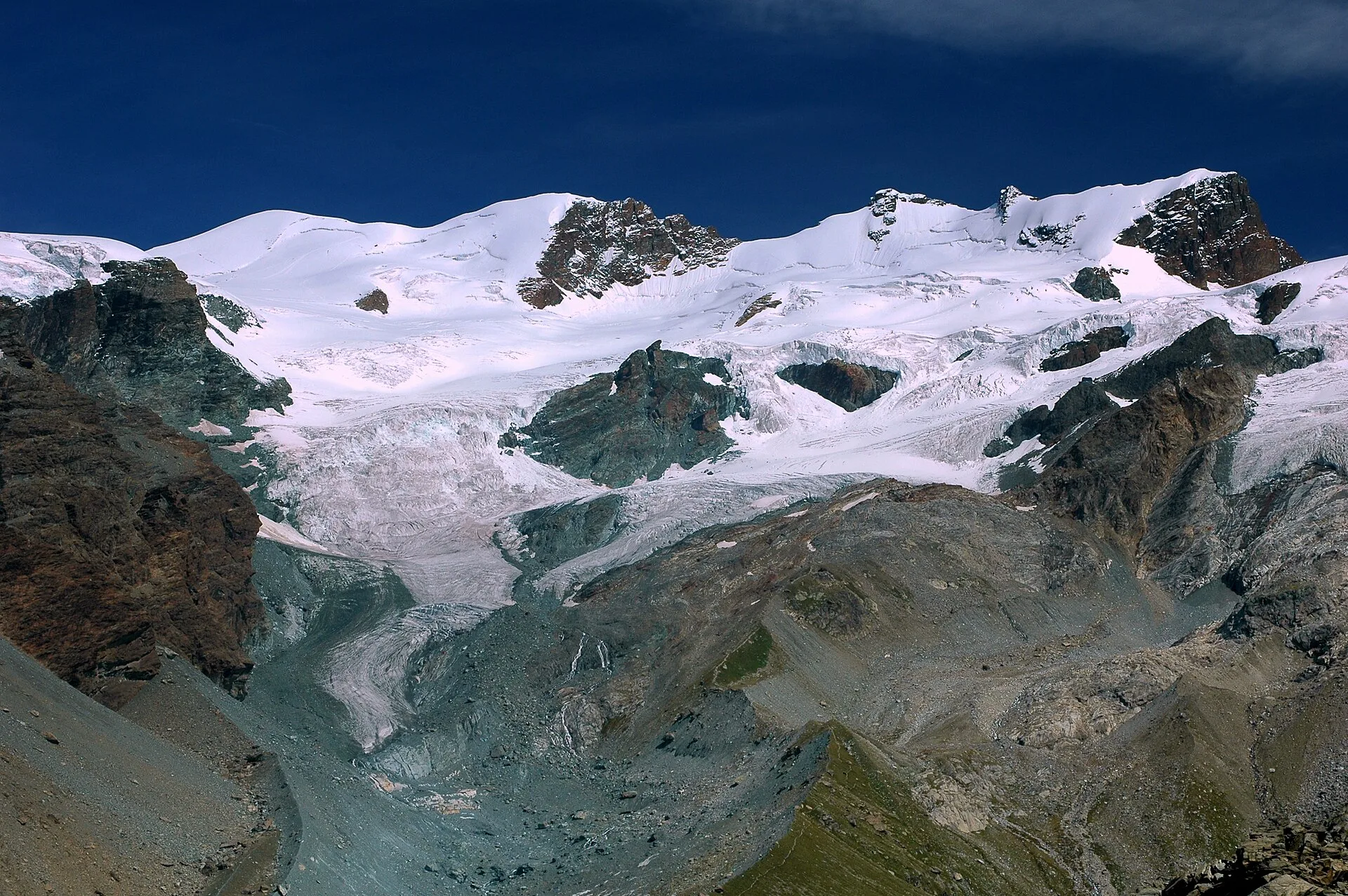
In the Val d'Ayas, Ayas: an E/EE-rated climb toward a high-altitude objective in the alpine landscape.
5.6 km+1077 m4 h
Where to spot
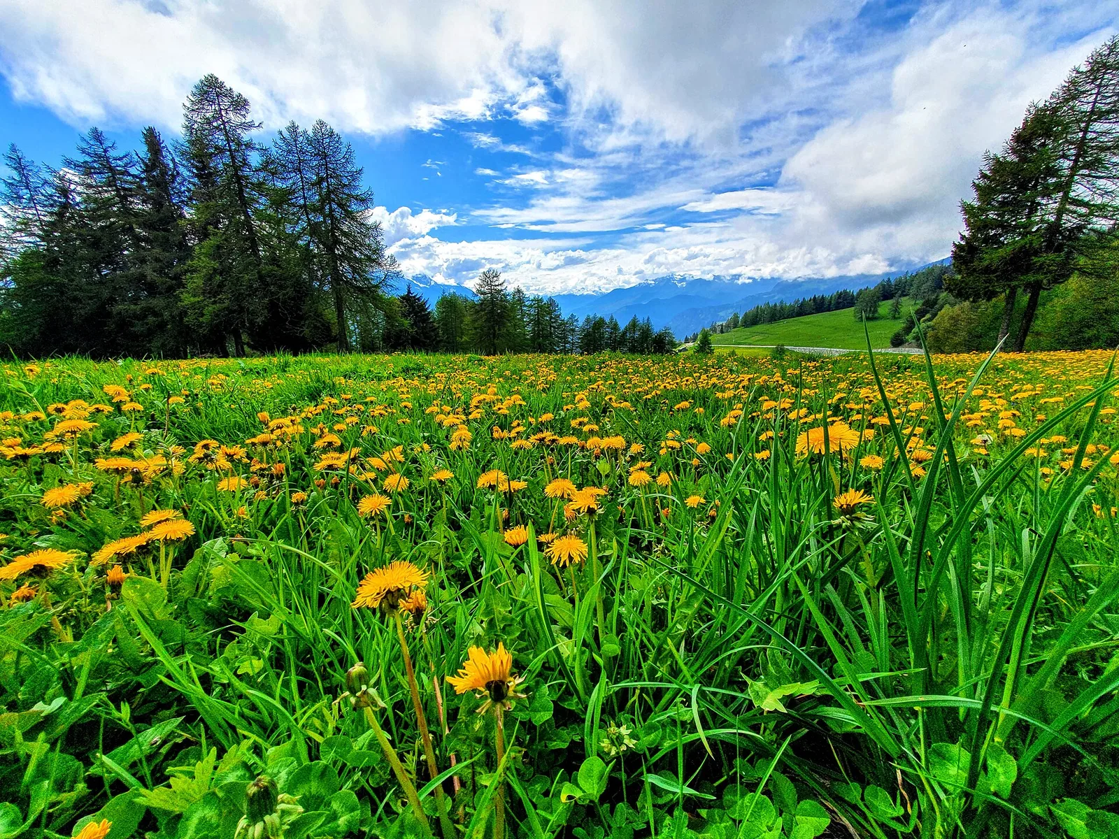
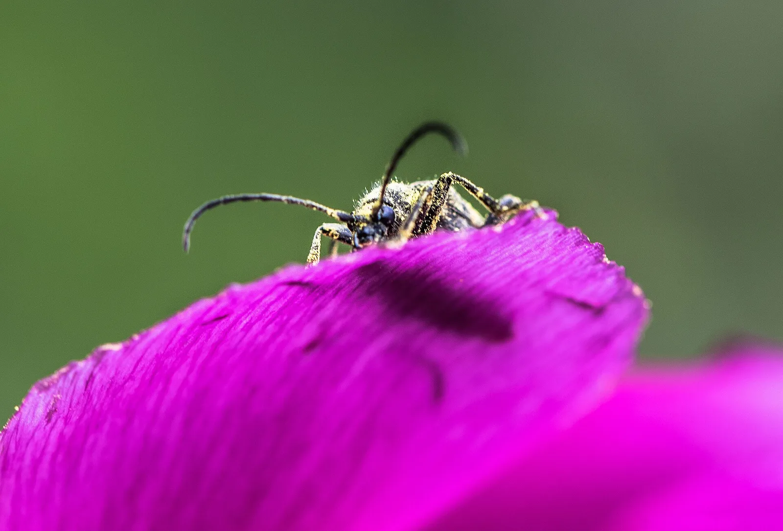
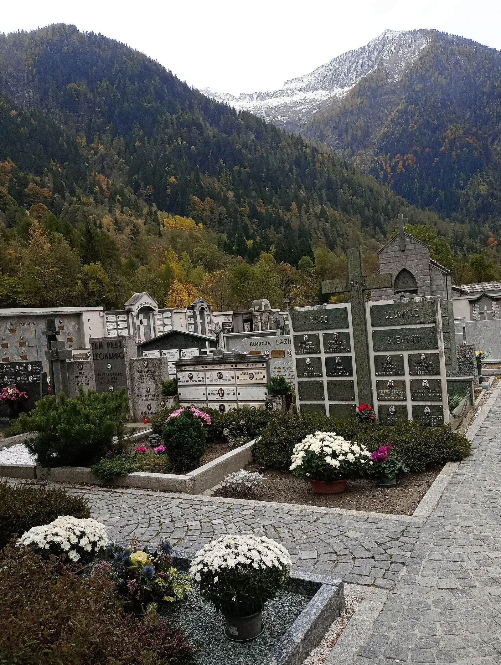
43 trails where European badger is listed in flora/fauna: difficulty T–EE, elevation gain 0–2082 m.
43 · 0.5–14.9 km · +0–2082 m
Valle centrale
In the Val d'Ayas, Ayas: an E/EE-rated climb toward a high-altitude objective in the alpine landscape.

Valtournenche
2.9 km · +28 m · T — from Area sportiva to Area sportiva (Valtournenche).
Val d'Ayas
3.8 km · +608 m · E — from Arbaz to Tete de Comagne (Ayas Valley).

Valtournenche
From Arlier (603m) to Cloutraz (1067m) on the Châtillon hillside: 3.5 km E through vineyards, woodland and views over the Dora Baltea.
Valle del Lys
2.6 km · +874 m · E — from Cerise to Bec Tolomon (Lys Valley).
La Thuile
6.3 km · +1313 m · E — from Chabodey to Croix du Folliet (La Thuile).

Valdigne
6.8 km · +0 m · E — from Cloutraz to Bellecombe (Valdigne).
Valdigne
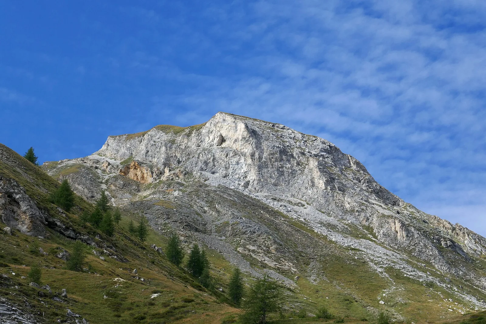
8.6 km · +2082 m · E — from Albard to Mont Zerbion (Valdigne).
Val di Cogne
5.4 km · +973 m · E — from Ermitage de Saint-Grat to Rifugio Arbolle (Cogne Valley).
Valle centrale
6.5 km · +1376 m · E — from Etroubles to Col Champillon (Central Valley).

Valtournenche
1.4 km · +164 m · E — from Feilley to Moron (Valtournenche).
Valle centrale
4.5 km · +938 m · E — from Fey to Croix Corma (Central Valley).
Valtournenche
1.6 km · +13 m · E — from Grand Moulin to Poutaz (Valtournenche).
Val d'Ayas
4.3 km · +92 m · E — from Capoluogo to Gaby (Ayas Valley).
Valle centrale
0.9 km · +39 m · E — from Chez-Percher to Cau (Central Valley).
Valle del Lys
2 km · +461 m · E — from Moulin to Gorettaz (Lys Valley).
Val d'Ayas
2 km · +282 m · E — from Nabian to Barmata (Ayas Valley).
Valle del Gran San Bernardo
3.6 km · +819 m · E — from Niel to Colle della Mologna Grande (Great St Bernard Valley).
Valpelline
4.3 km · +591 m · E — from Nus to Blavy (Valpelline).
Valpelline
8.2 km · +1324 m · E — from Nus to Issologne (Valpelline).
Valle del Lys
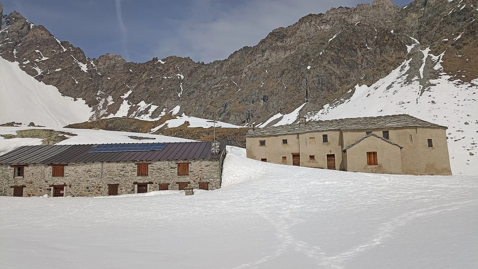
5.7 km · +773 m · E — from Ondre Eselbode to Rifugio Gabiet (Lys Valley).
Val d'Ayas
2.3 km · +160 m · E — from Orbeillaz to Pian Abelly (Ayas Valley).
Valtournenche
6.9 km · +1248 m · E — from Outre l'Eve to Col Santanel (Valtournenche).
Valtournenche
3.1 km · +639 m · E — from Outrefer to Pourcil (Valtournenche).
Valle del Lys
3.6 km · +228 m · E — from Plan d'Introd to Moulin de Tache (innesto sentiero 6) (Lys Valley).
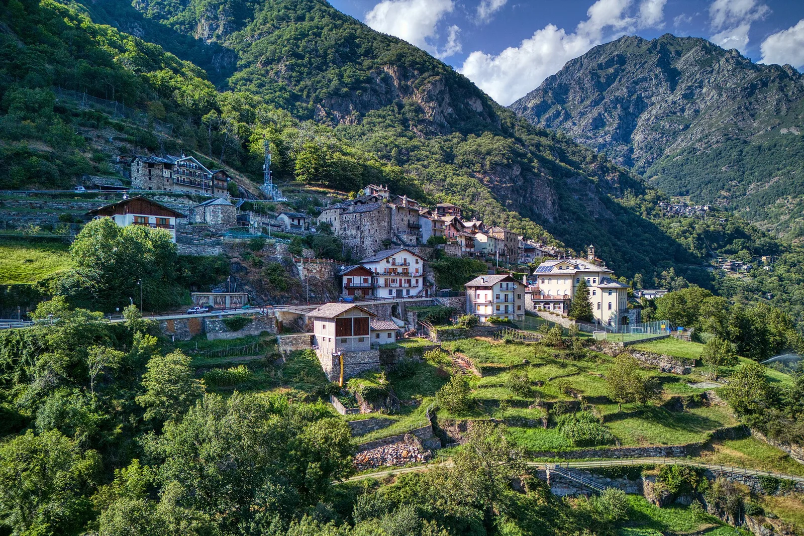
Valle centrale
3.8 km · +581 m · E — from Plan de Brun to Fey (Central Valley).
Valle centrale
4.8 km · +1032 m · EE — from Plan de la Glae to Mont Pancherot (Central Valley).
Valtournenche
From the Dora Baltea bridge (500 m) to Verthuy (1058 m) above Châtillon: 568 m in 3.6 km. Quick transition from valley floor to terraced meadows.
Valpelline
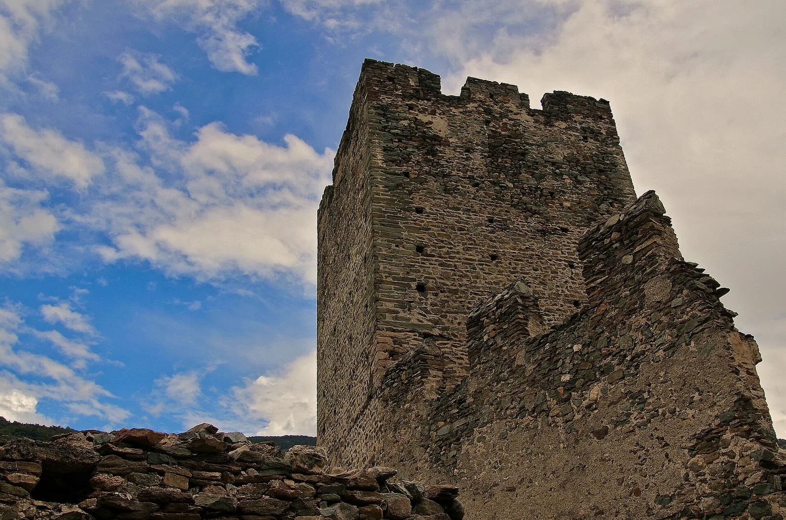
From Pouillaye (1626 m) to Colle di Montagnaye (2907 m): a demanding border crossing between the Valpelline and the Swiss Canton of Valais.
Valtournenche
9 km · +1546 m · E — from Pramotton to Alpe Bonze (Valtournenche).
Val di Rhêmes
4.4 km · +0 m · E — from Pré-Saint-Didier to Morgex (Rhêmes Valley).
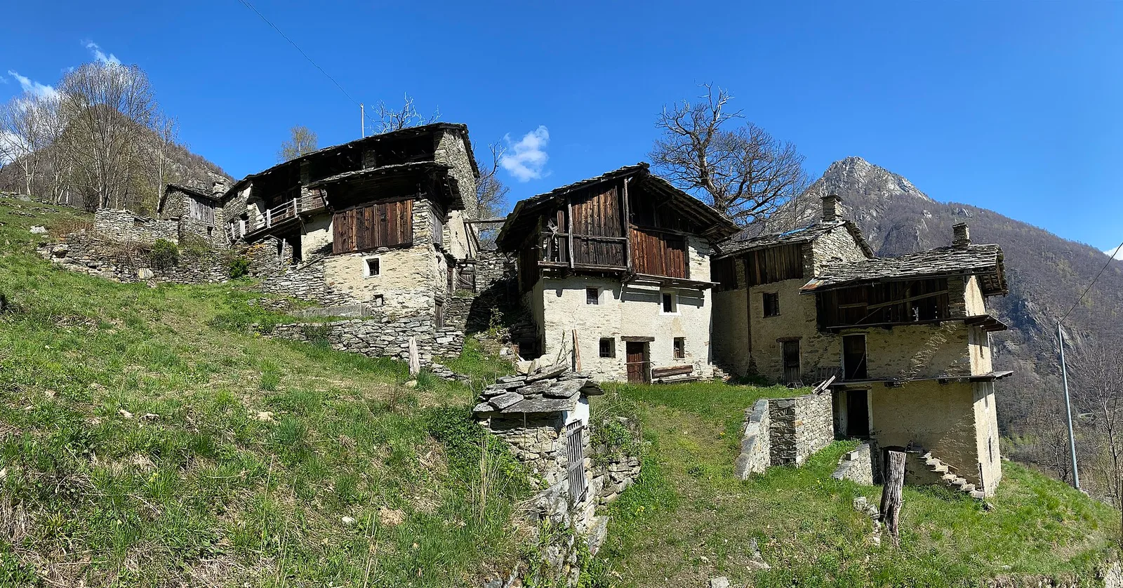
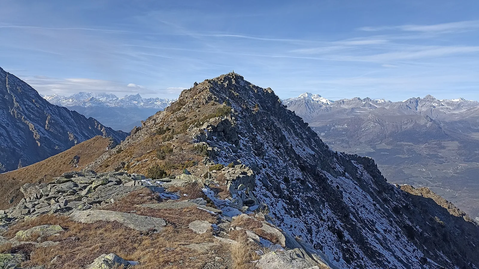
Val d'Ayas
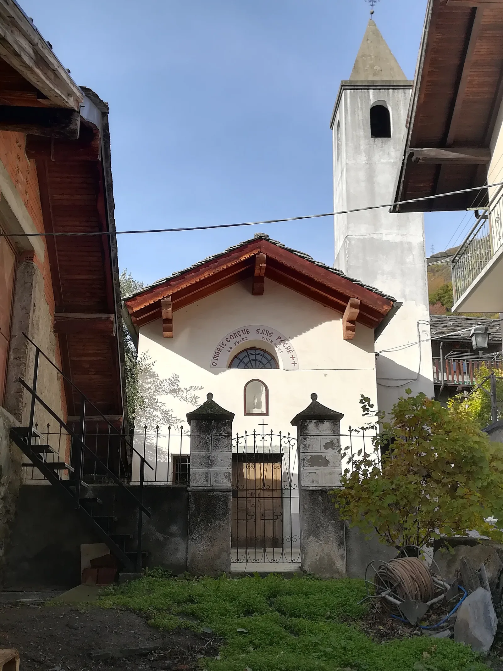
In the lower Val d'Ayas, Challand-Saint-Victor: an E-rated climb through vineyards, forest and terraced land toward historic hamlets.
Val d'Ayas
1.4 km · +0 m · E — from Paysan to Casa fine poderale 29 (Ayas Valley).
Valle del Lys
2.1 km · +740 m · EE — from Servettaz to Druges (Lys Valley).
Val d'Ayas
A short, steep climb from Strada Cappuccini (601 m) to Excenex (1,036 m) in Val d'Ayas: 3.2 km and 452 m of ascent.
Valtournenche
14.9 km · +0 m · E — from Verrès to Pont-Saint-Martin (Valtournenche).
Valle di Champorcher
0.5 km · +167 m · E — from Terrisse to Attacco Mont Charvatton (Champorcher Valley).
Val d'Ayas
3.2 km · +288 m · E — from Tilly to Mayn (Ayas Valley).
Valtournenche
5.3 km · +963 m · E — from Valgrisenche to Becca dei Quattro Denti (Valtournenche).
Valtournenche
1.6 km · +382 m · E — from Valyre to Salirod (Valtournenche).
Valdigne
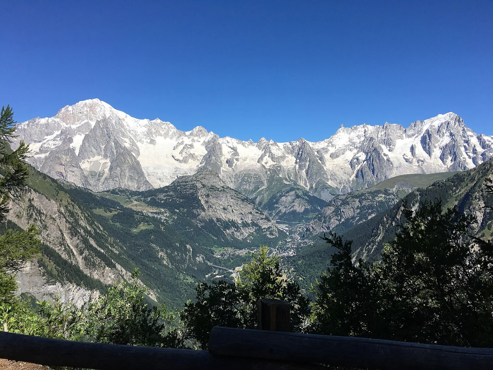
In the commune of La Salle, Valdigne: an accessible route through mixed forest and pastures with views of Mont Blanc.
Valle centrale
5.3 km · +1303 m · EE — from Veulla to Col Varotta (Central Valley).
Valle centrale
6.5 km · +1193 m · E — from Veulla to Mont Barbeston (Central Valley).