E
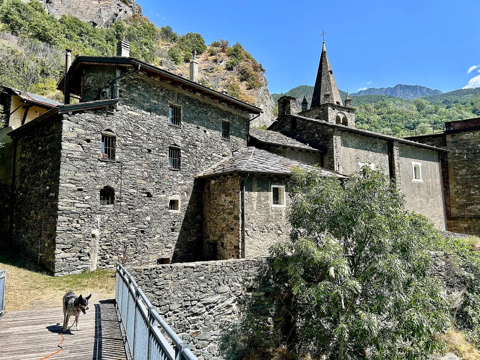
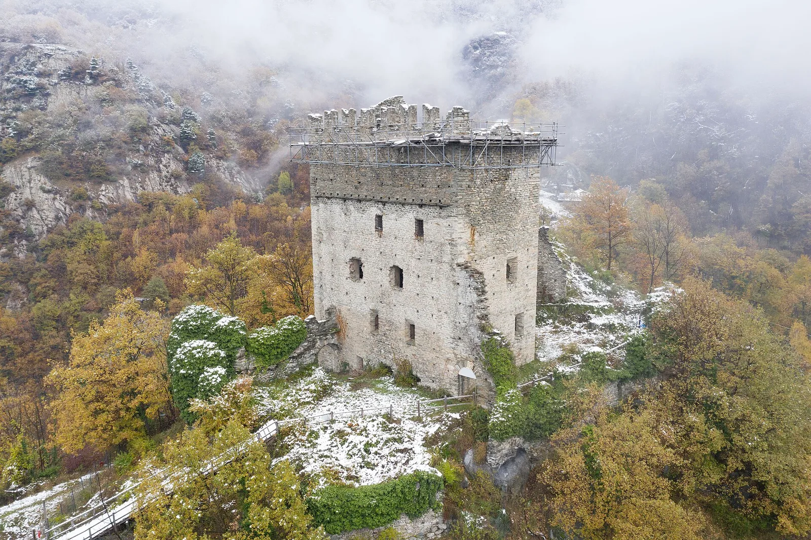
Bassa Valle
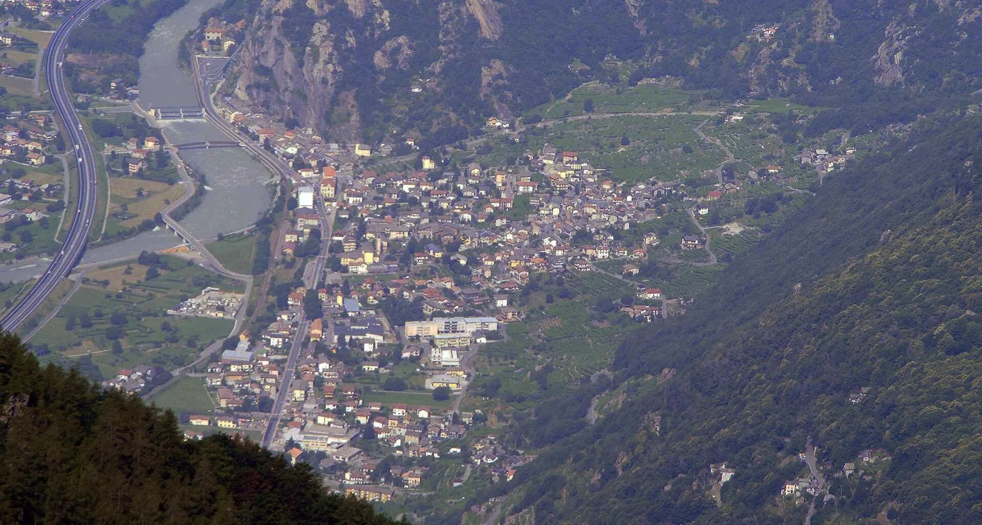
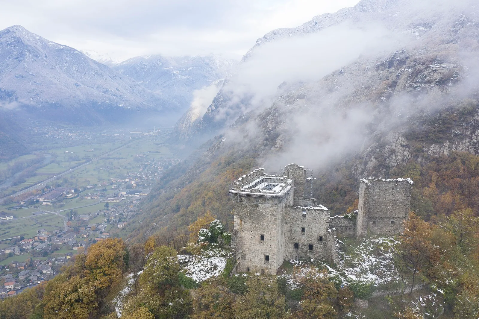
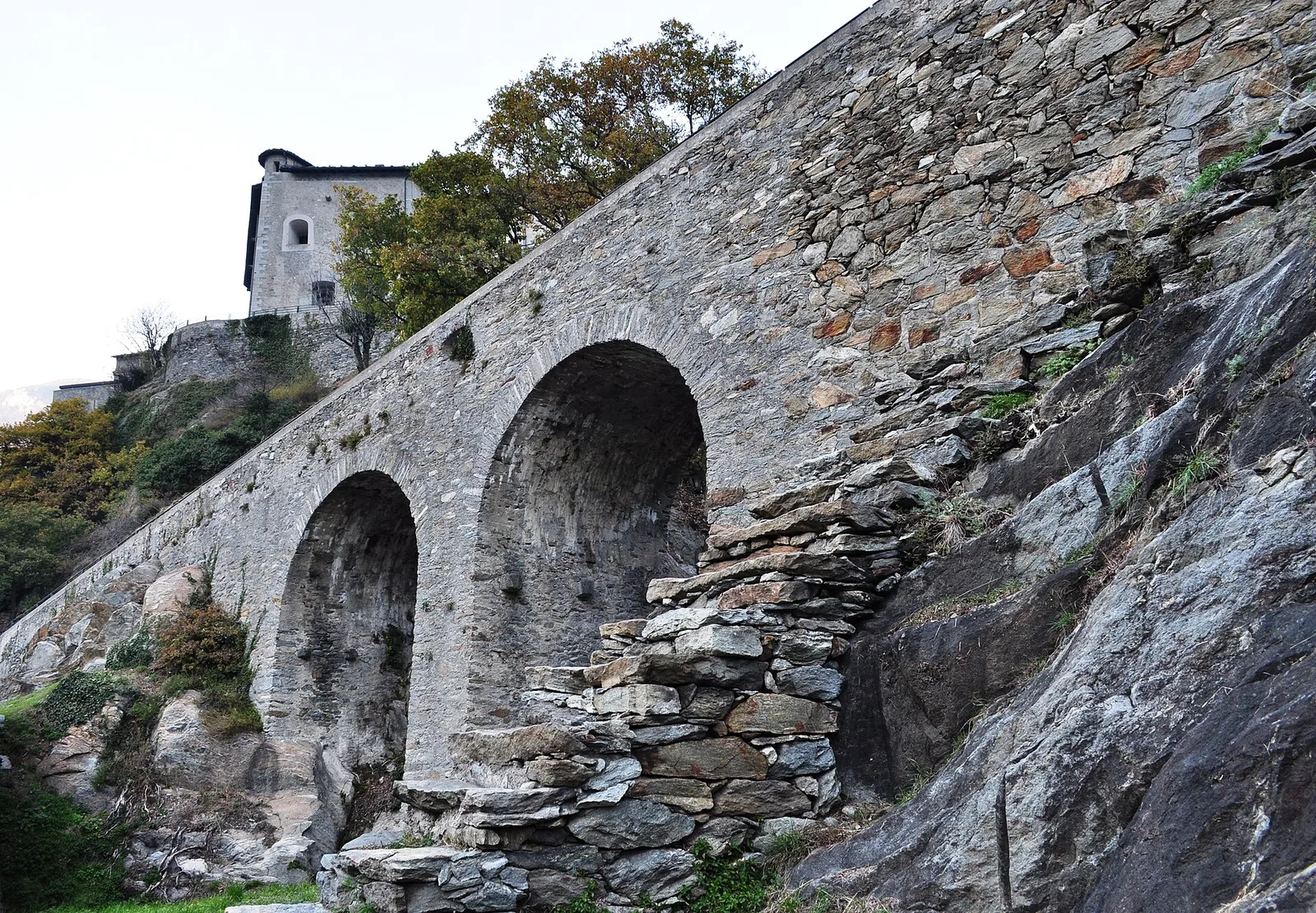
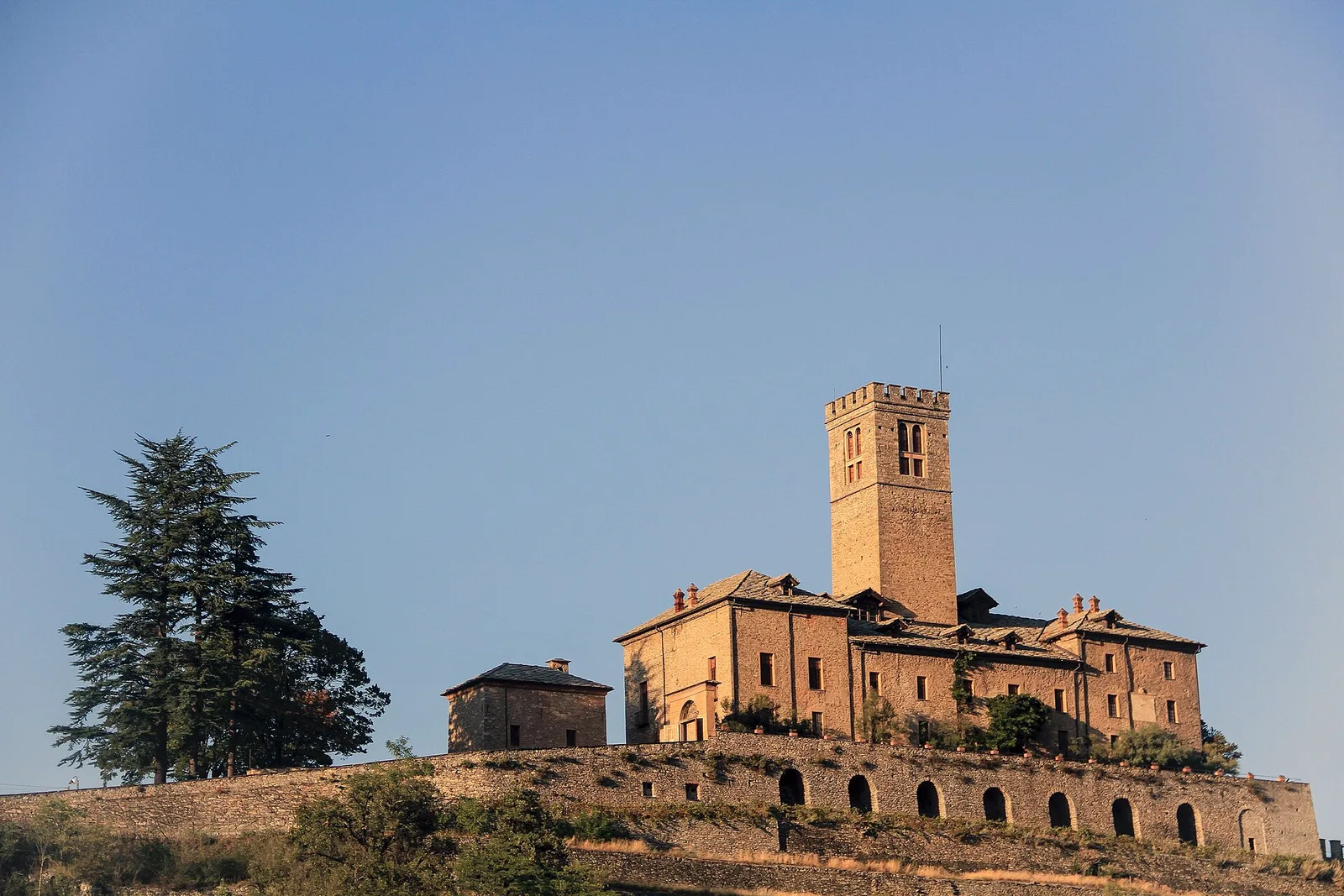
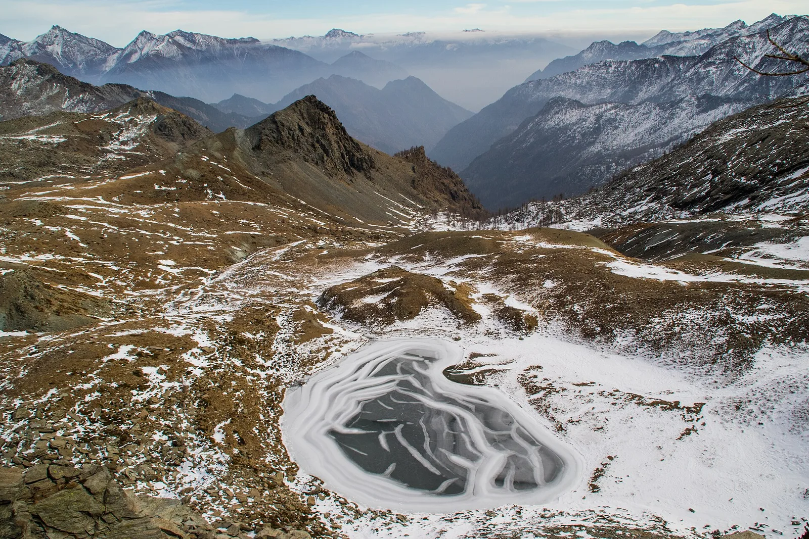
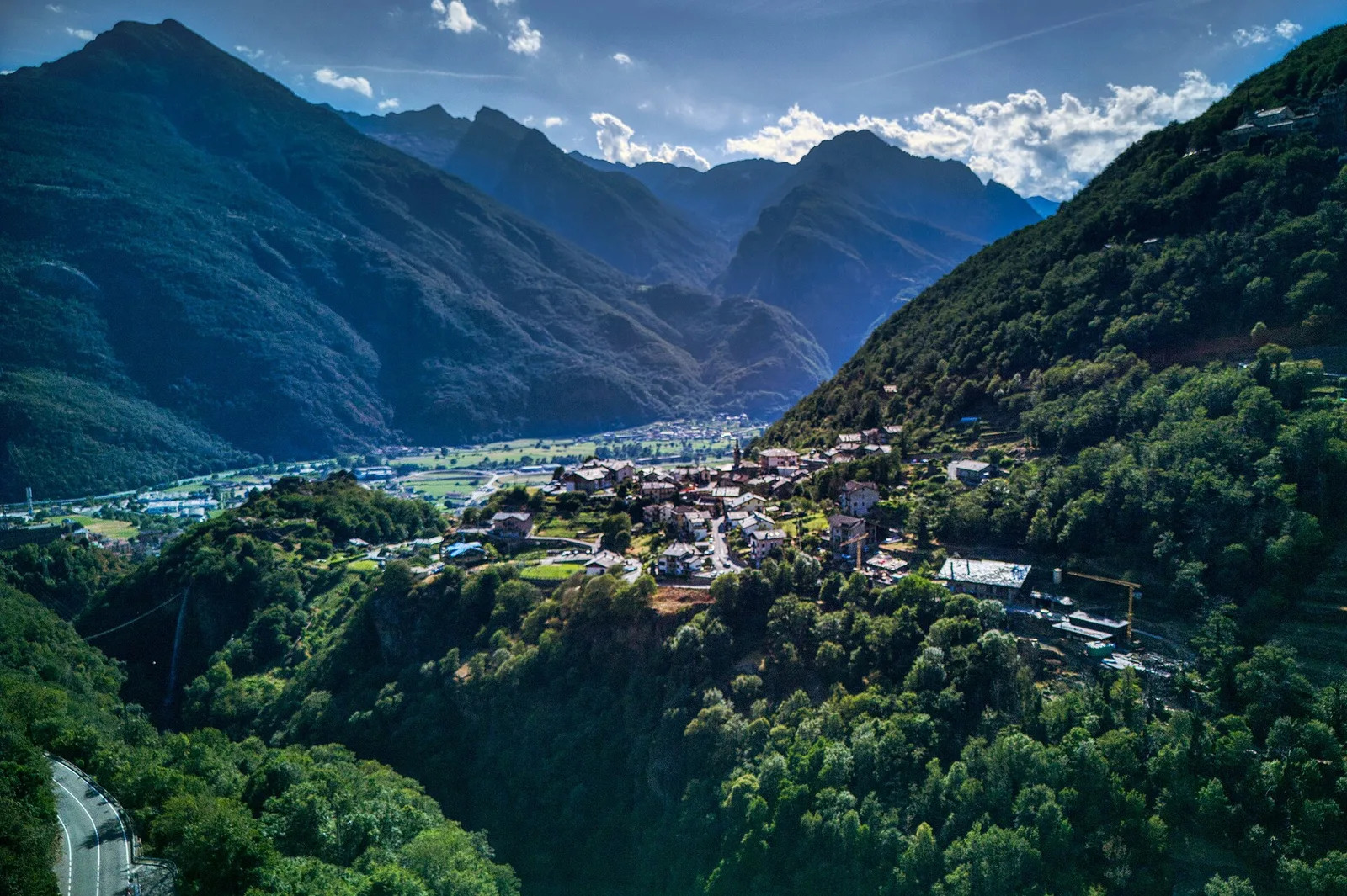
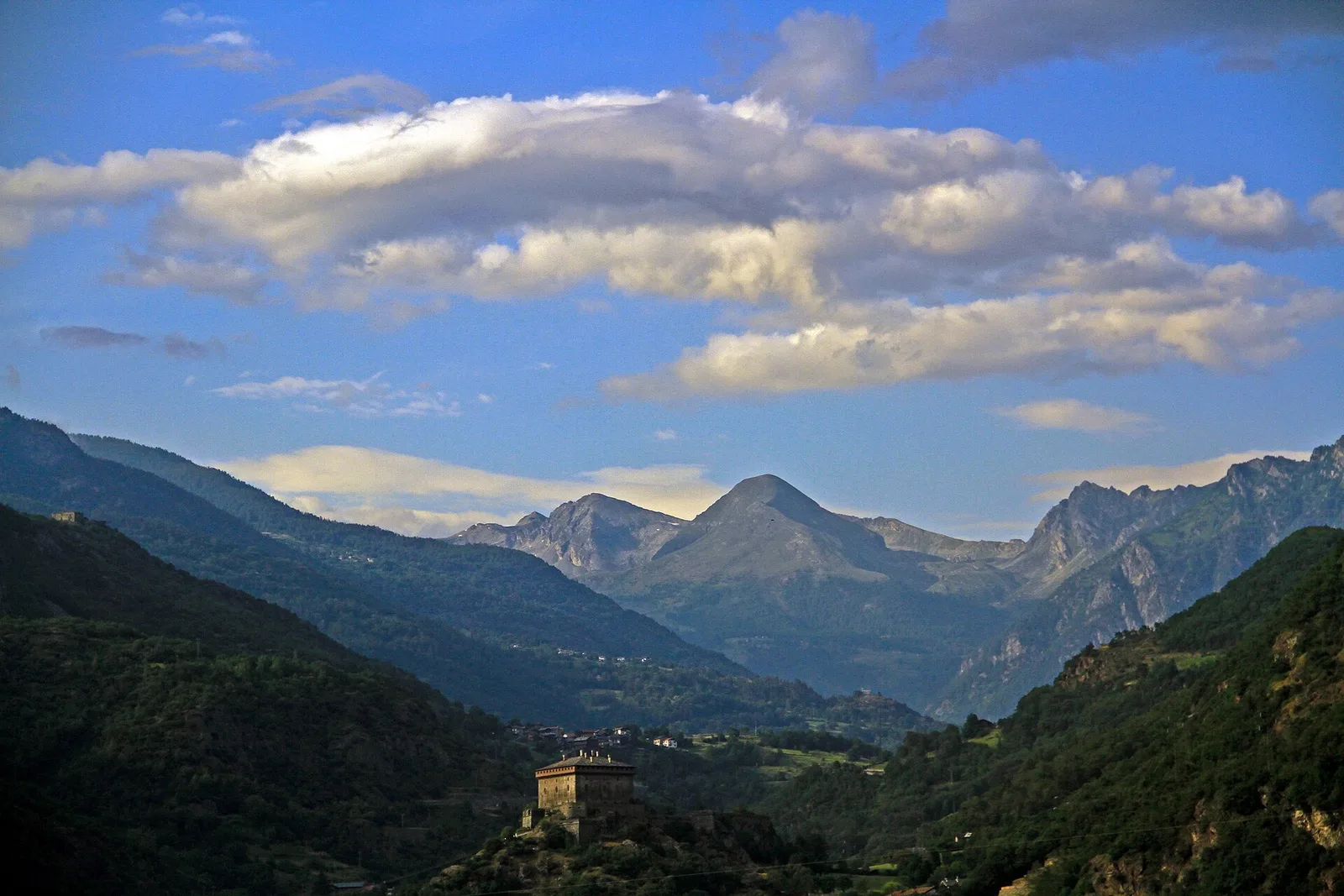
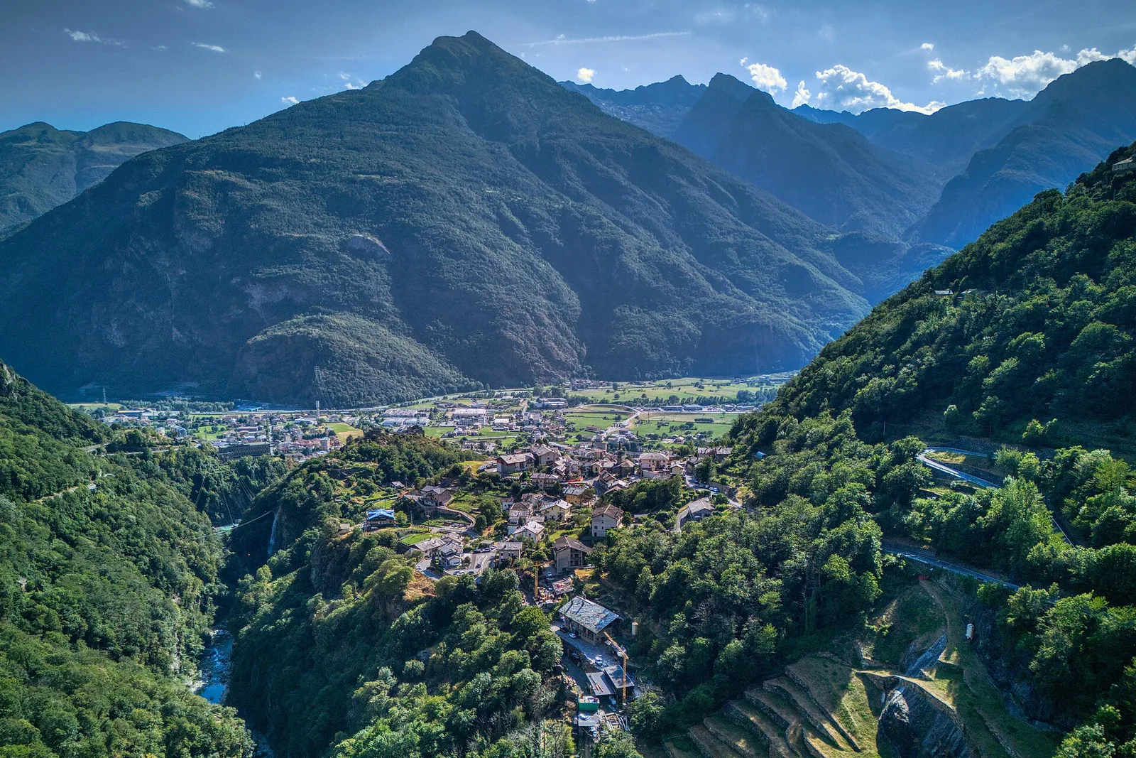
High Route 1 — Stage 1: Donnas → Perloz
The start of the High Route of the Giants, from the valley floor up to Perloz meadows through Walser villages and chestnut groves.
12.5 km+950 m5 h
Trails and culture
79 trails linked to Enfer d'Arvier — traditions and flavours along the route: difficulty T–EE, elevation gain 0–3545 m.
79 · 0.8–32.2 km · +0–3545 m
Bassa Valle
The start of the High Route of the Giants, from the valley floor up to Perloz meadows through Walser villages and chestnut groves.
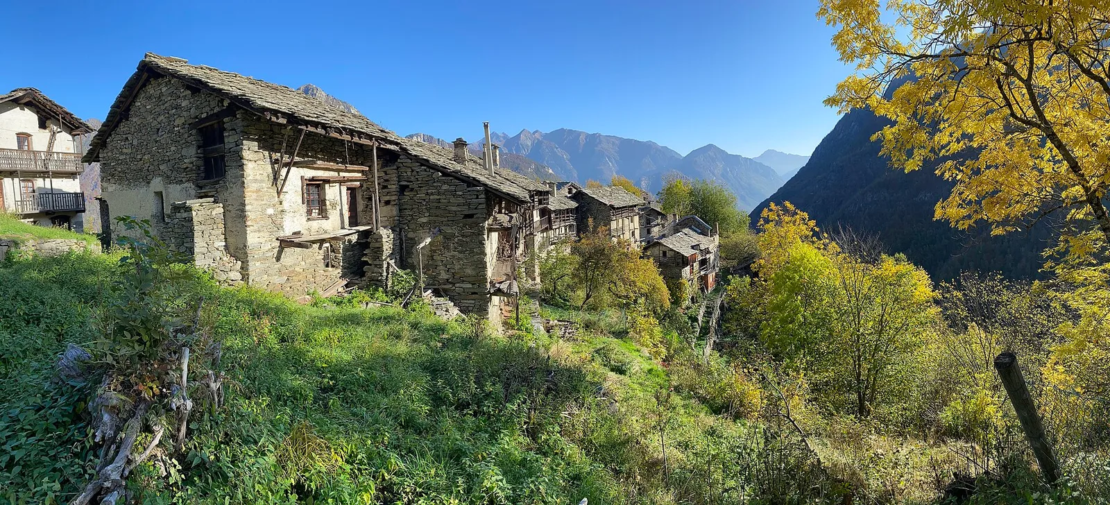
Bassa Valle — Mont Mars
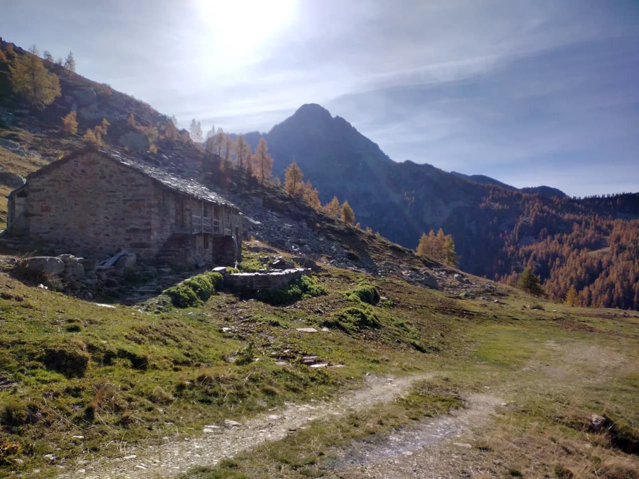
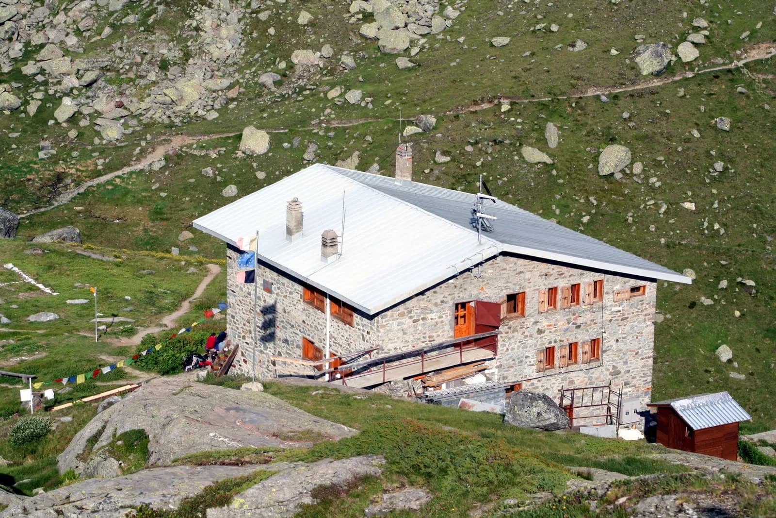
From Perloz hill the trail climbs through Lillianes forest and into the Mont Mars Nature Reserve, where Rifugio Coda at 2280 m opens the view to the high valley.
Bassa Valle
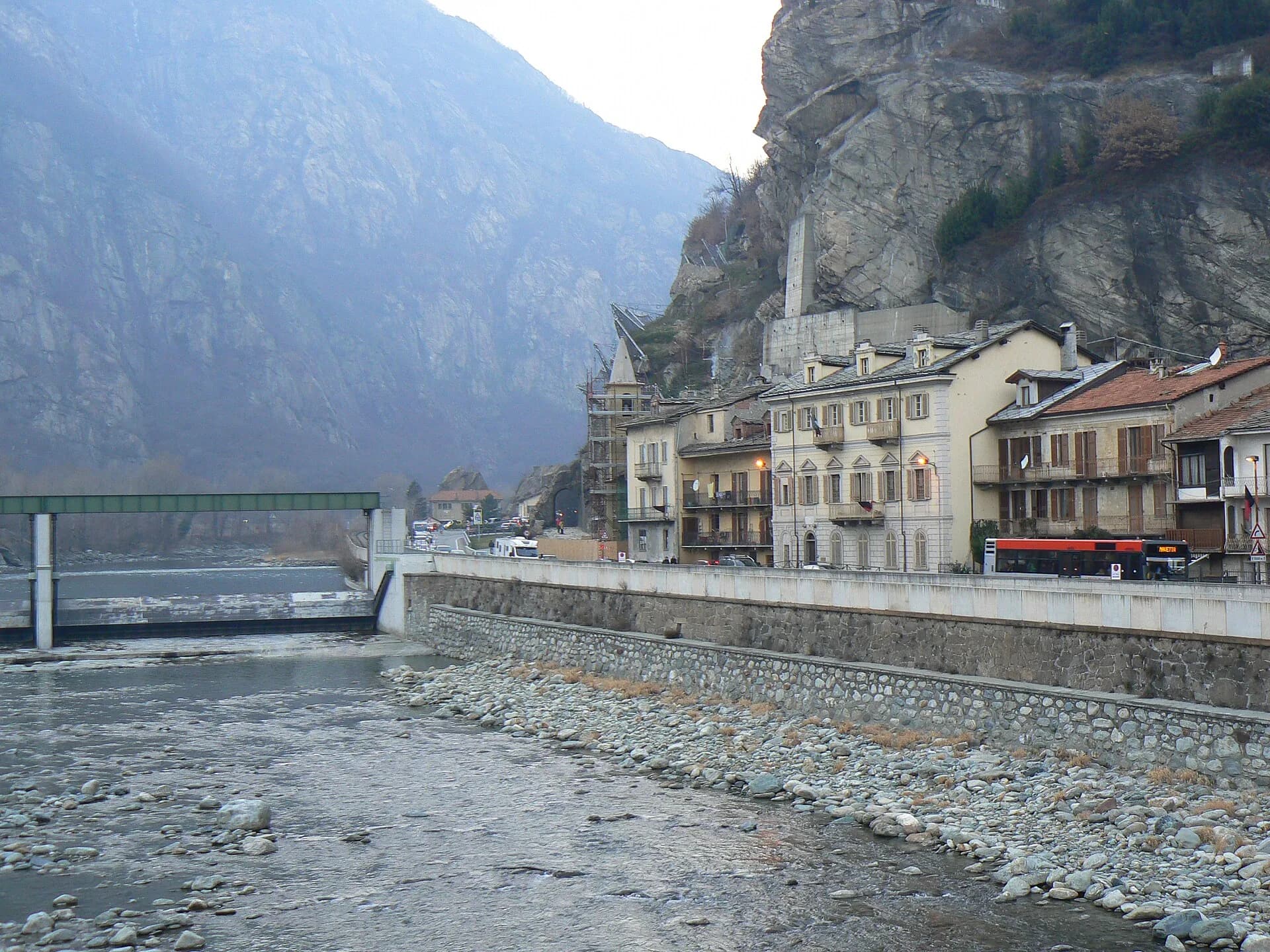
Final AV2 stage: from Retempio sanctuary to Donnas in the valley floor.
La Thuile
Cross Col de la Crosatie and descend toward Planaval in Valgrisenche.
Valgrisenche
Cross Valgrisenche to Rifugio Chalet de l'Épée.

Bassa Valle
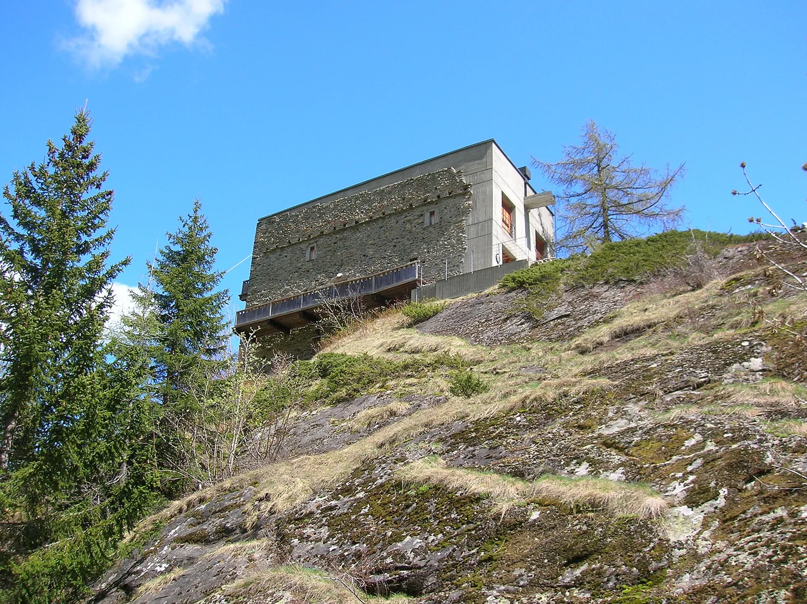
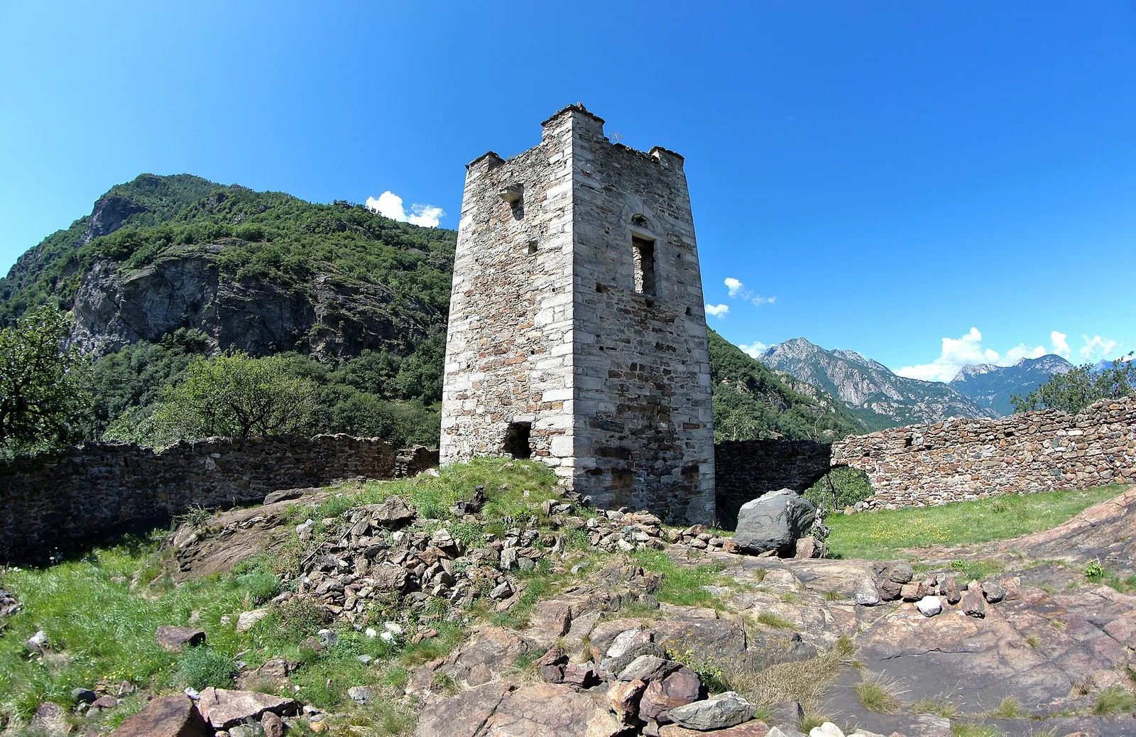
A short woodland climb from Arsines, above Arnad, to Col Fenêtre: a scenic pass of the lower Aosta Valley.

Bassa Valle
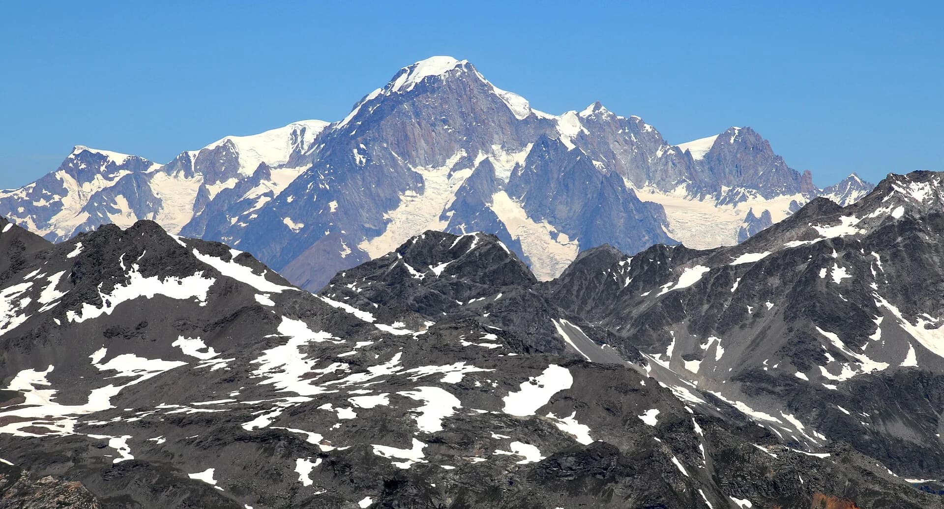
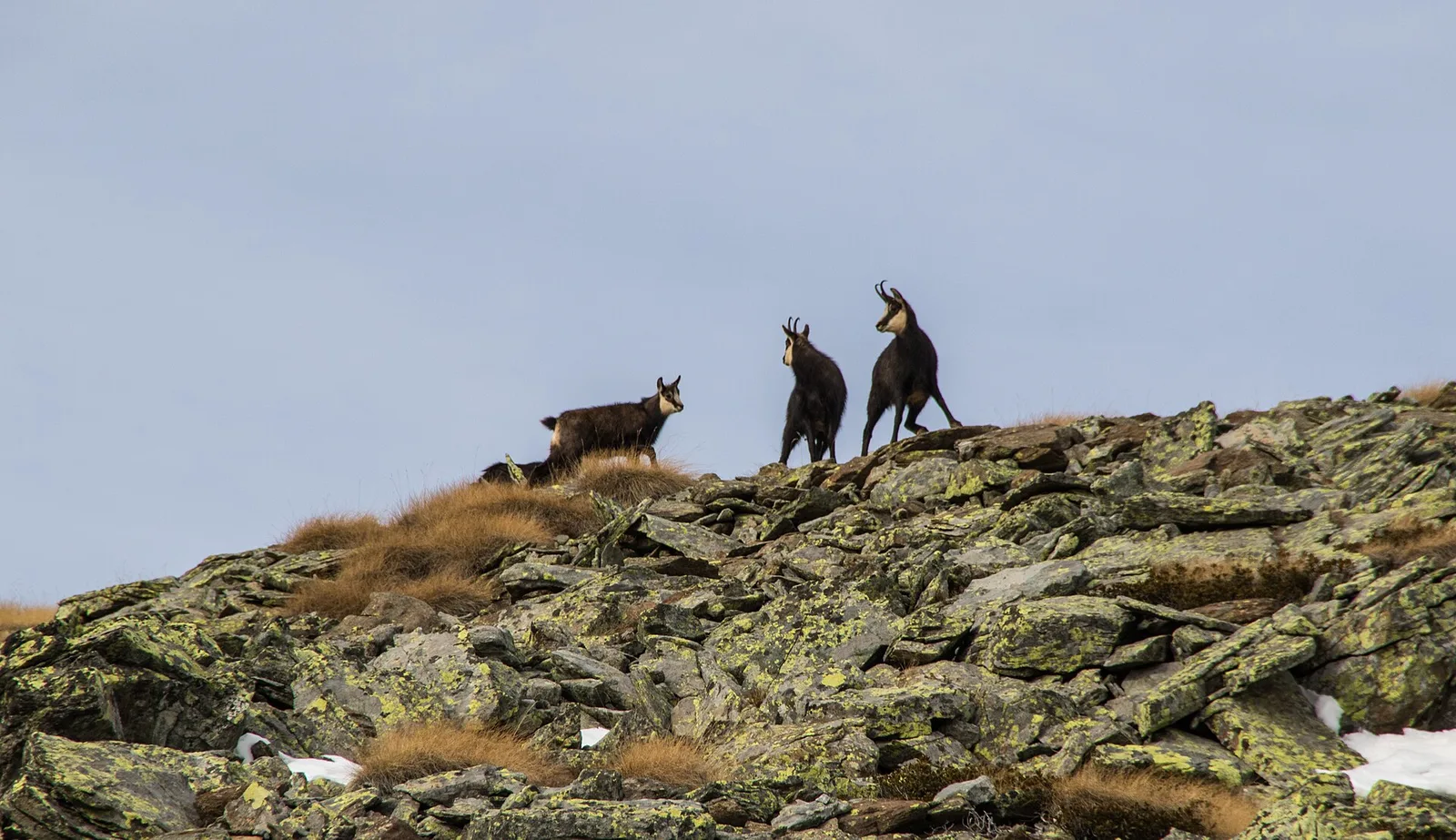
In the commune of Cogne, Gran Paradiso National Park: a climb toward a high-altitude objective in an environment of exceptional natural quality.

Bassa Valle
1.6 km · +397 m · E — from Barme to Carogne (Valtournenche).

Bassa Valle
1.2 km · +284 m · E — from Barme to Omens (Valtournenche).
Bassa Valle
3.9 km · +549 m · E — from Biel to Serra di Biel (Valsavarenche).
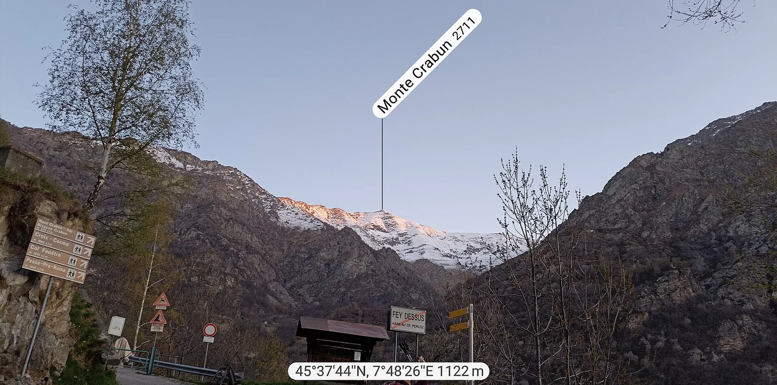
Bassa Valle
Exceptional ascent from Bonavessy (658 m) to Mont Crabun (2711 m): +2062 m in 8.7 km. Expert hikers only, early start required. EE.
Bassa Valle
1.5 km · +312 m · E — from Bourg to Peredrette (Valtournenche).
Bassa Valle
2.5 km · +427 m · E — from Bourg to Bourg (Valtournenche).
Bassa Valle
6.1 km · +965 m · E — from Bourg to Verale (Valtournenche).
Bassa Valle
2.4 km · +471 m · E — from Cappella Sant'Erasmo to Reserve Naturelle de Holay (Central Valley).
Valgrisenche
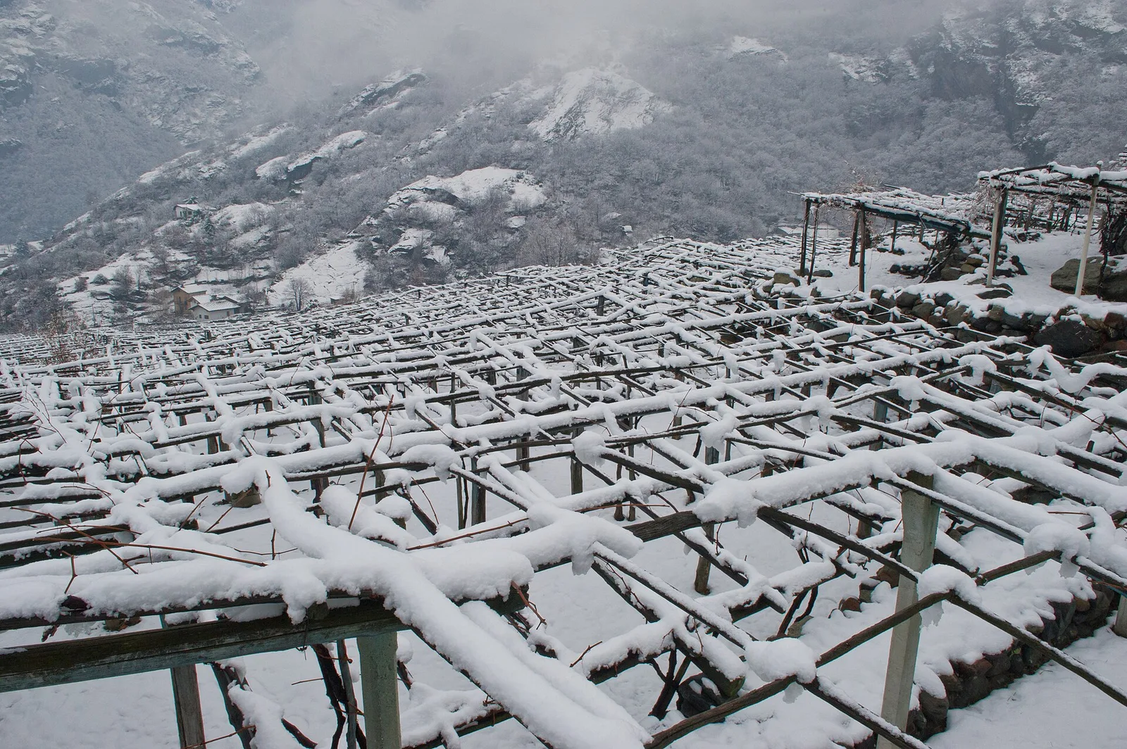
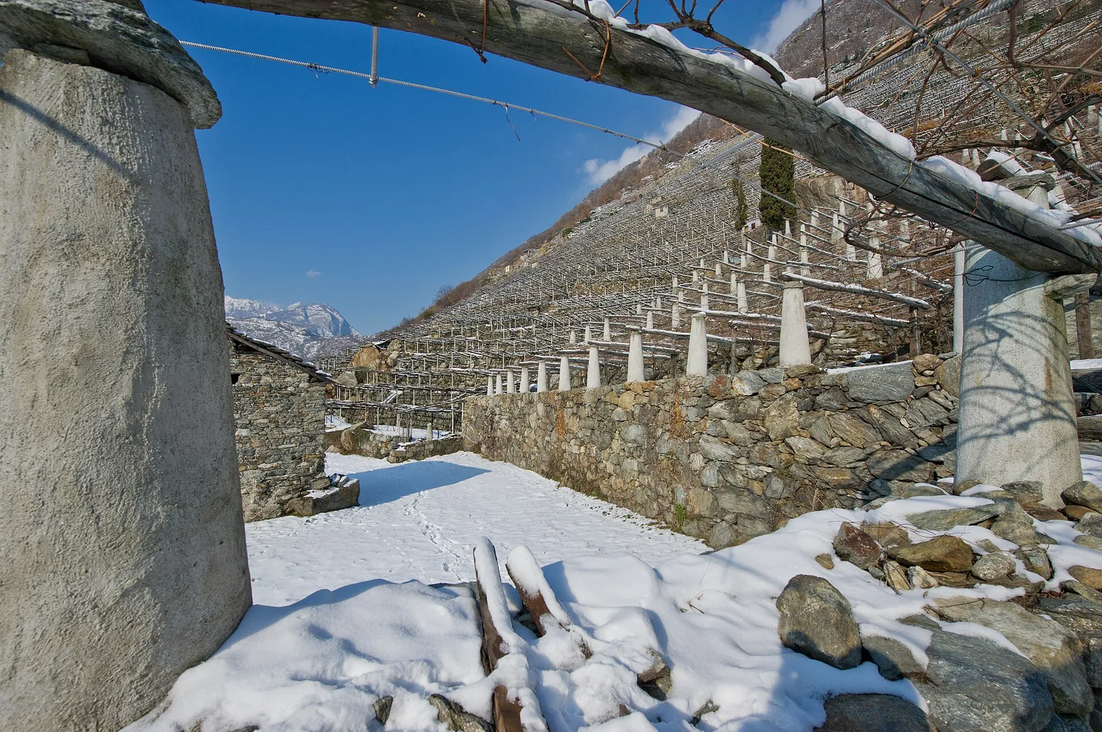
In the Valgrisenche, commune of Arvier: an E-rated climb through forest and meadows toward a high-altitude pasture.
Bassa Valle
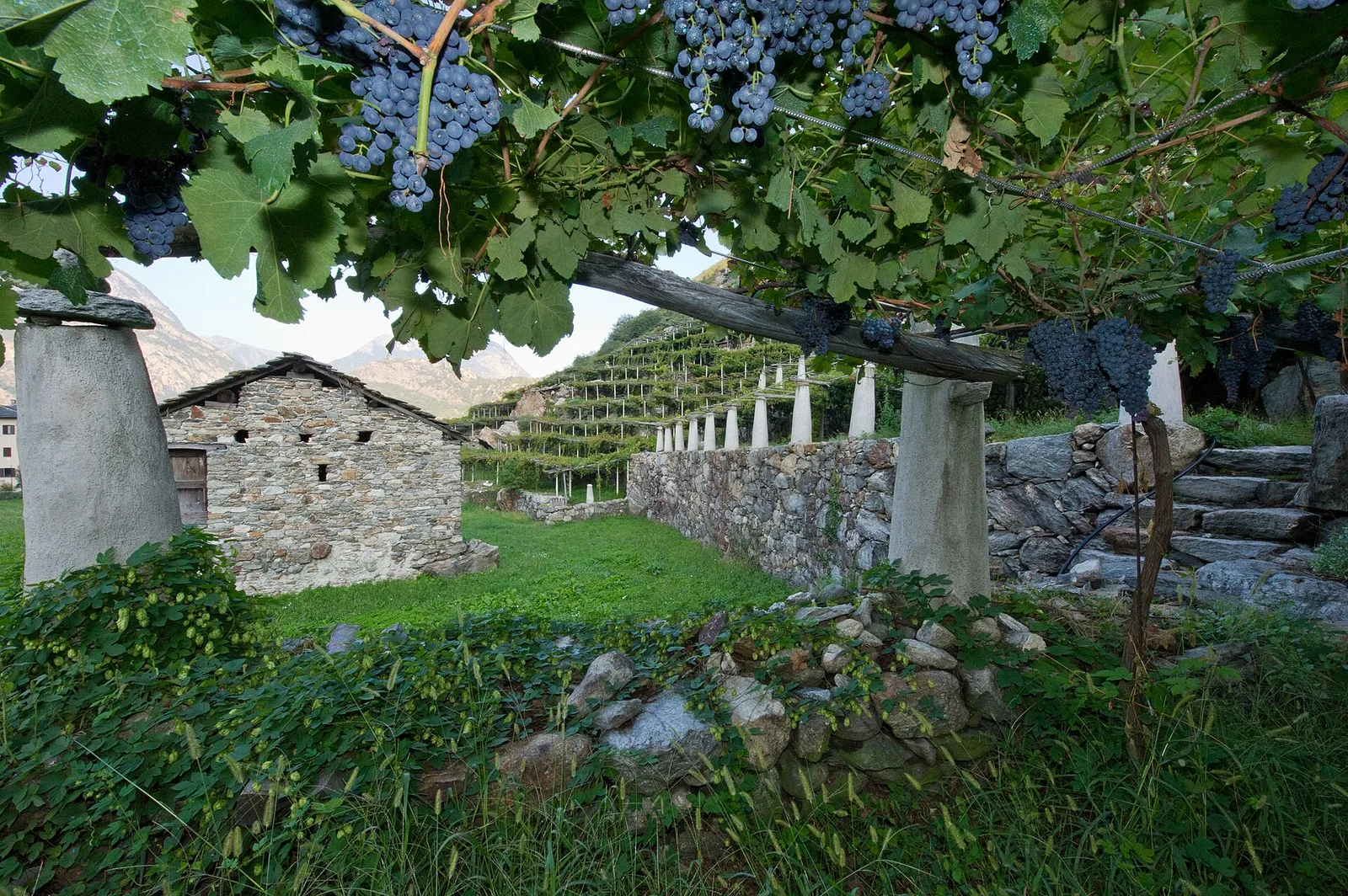
From the valley floor at Chateau Vallaise (454m) to Saint Anne's chapel (1342m): 4.3 km and 921 m of ascent through vineyards, chestnut groves and woodland on the Avise hillside.
Bassa Valle
32.2 km · +3545 m · EE — from Col de Bonze to Col Laris (Valtournenche).

Bassa Valle
3.3 km · +921 m · E — from Collaré to Mont de Beuby (Central Valley).
Bassa Valle
14.2 km · +1948 m · E — from Crest-Désot to Col de Bonze (Champorcher Valley).
Bassa Valle
3.6 km · +909 m · E — from Croce della Missione to Gias Desot (Valtournenche).
Bassa Valle
4.5 km · +938 m · E — from Fey to Croix Corma (Central Valley).
Bassa Valle
2.5 km · +373 m · E — from Fey to Piatolet (Central Valley).
Valgrisenche
From Grand Haury the route climbs through forest and alpine meadow to the Alpe di Boregne pasture plateau at the foot of Becca Verconey in a quiet Valgrisenche side valley.
Valle centrale
0.8 km · +0 m · E — from Grand Haury to Castello Montmayeur (Valgrisenche).
Bassa Valle
4.3 km · +659 m · E — from Chiesa di San Giorgio to Biel (Valsavarenche).
Bassa Valle
4.2 km · +1074 m · E — from La Clévaz to Plan Fiou (Valsavarenche).
Bassa Valle
4.8 km · +1134 m · E — from La Raffort - Centrale to Cormoney (Valsavarenche).

Valle centrale
2 km · +207 m · E — from La Ravoire to Castello di Montmayeur (Valgrisenche).
Valle centrale
1.5 km · +245 m · E — from La Ravoire to Lolair (Valgrisenche).
Bassa Valle
3.3 km · +642 m · E — from La Raffort to Pian (Valsavarenche).
Bassa Valle
1.3 km · +95 m · T — from Piazza del Municipio to Le tre Goye (Valsavarenche).
Valle centrale
In the Valgrisenche, Arvier: a steady E-rated climb through forest and meadows toward upper pastures.

Valle centrale
In the Valgrisenche, Arvier: a significant E-rated climb through forest toward upper pastures.
Valle centrale
From the Valgrisenche valley floor at Leverogne (721 m) to the hilltop village of Saint-Nicolas (1,203 m): 3.4 km and 499 m of ascent.
Bassa Valle
7.6 km · +1544 m · E — from Lo Pian to Arvueil (Central Valley).

Bassa Valle
6.2 km · +1327 m · E — from Lo Pian to Lac de Panaz (Central Valley).

Bassa Valle
3.9 km · +830 m · E — from Marine to Col Fênetre (Central Valley).

Bassa Valle
8.8 km · +1603 m · E — from Monteil to Lac Liet (Valtournenche).
Bassa Valle
3.9 km · +1035 m · E — from Monteil to Montat (Valtournenche).
Bassa Valle
5.8 km · +1334 m · EE — from Outrefer to Mognissola (Valtournenche).
Bassa Valle
3.1 km · +639 m · E — from Outrefer to Pourcil (Valtournenche).
Bassa Valle
1.3 km · +111 m · E — from Rovarey to Croce della Missione (Valtournenche).
Bassa Valle
4.7 km · +579 m · T — from Piazza E.Chanoux to Carogne (Valtournenche).
Bassa Valle
3.8 km · +581 m · E — from Plan de Brun to Fey (Central Valley).
Bassa Valle
2.4 km · +790 m · E — from Saint-Roch to Col de Plan Fenetre (Central Valley).
Valgrisenche
From Planaval in the lower Valgrisenche, a well-signed climb to Becca Ceré: pastures, woods and a balcony over the valley and its glaciers.
Bassa Valle
2.2 km · +436 m · E — from Capoluogo to Reserve Naturelle de Holay (Central Valley).
Bassa Valle
5 km · +873 m · E — from Pramotton to Innesto Baraton (Valtournenche).
Bassa Valle
9 km · +1546 m · E — from Pramotton to Alpe Bonze (Valtournenche).
Bassa Valle
5.5 km · +1218 m · E — from Pramotton to Fontanet (Valtournenche).
Bassa Valle
1.3 km · +234 m · E — from Pramotton to Tour Pramotton (Valtournenche).
Valgrisenche
In the Valgrisenche the route climbs through forest and meadows toward upper pastures: an E-rated itinerary in the commune of Arvier.
Valgrisenche
3.1 km · +480 m · E — from Confine comunale Arvier, Revers to Borègne (Valtournenche).
Bassa Valle
2.6 km · +828 m · E — from Rovarey to Jas Dèsot (Valtournenche).
Bassa Valle
6.2 km · +567 m · E — from Rovarey to Santuario Notre Dame de la Garde (Valtournenche).

Valle centrale
2.4 km · +263 m · E — from Runaz to Rochefort (Valdigne).
Bassa Valle
4.8 km · +1070 m · E — from Saint-Roch to La Borney (Central Valley).
Bassa Valle
3.8 km · +1070 m · E — from Saint-Roch to La Borney (Central Valley).
Bassa Valle
2.9 km · +391 m · E — from Poline desot to Ronchas (Central Valley).
Bassa Valle
2.4 km · +355 m · E — from Strada to Omens (Valtournenche).
Bassa Valle
12.9 km · +1737 m · E — from Bourg to Sassa (Valtournenche).
Valle centrale
16.4 km · +0 m · E — from Rifugio Deffeyes to Planaval (Lys Valley).

Valgrisenche
12.3 km · +998 m · E — from Planaval to Rifugio Chalet de l'Epée (Valgrisenche).
Bassa Valle
8.7 km · +938 m · E — from Pont-Saint-Martin to Lillianes (Central Valley).
Bassa Valle
15.7 km · +0 m · E — from Fontainemore to Donnas (Lys Valley).

Bassa Valle
12.8 km · +1126 m · E — from Donnas to Arnad (Valtournenche).
Bassa Valle
12.6 km · +1160 m · E — from Arnad to Challand-Saint-Victor (Central Valley).
Bassa Valle
21.1 km · +0 m · E — from Châtillon to Verrès (Valdigne).
Bassa Valle
13.2 km · +0 m · E — from Pontboset to Pont-Saint-Martin (Champorcher Valley).
Bassa Valle
19.3 km · +0 m · E — from Châtillon to Verrès (Valdigne).
Bassa Valle
14.9 km · +0 m · E — from Verrès to Pont-Saint-Martin (Valtournenche).

Bassa Valle
1.3 km · +0 m · E — from Arnad to Donnas (Central Valley).
Bassa Valle
6.3 km · +0 m · E — from Donnas to Pont-Saint-Martin (Valtournenche).
Bassa Valle
0.8 km · +0 m · E — from Tour d'Hereraz to Perloz (Central Valley).
La Thuile — Valgrisenche
Passo Alto and Col de la Crosatie: the great Alta Via 2 traverse.
Valgrisenche
A short breather along the Dora di Valgrisenche.
Bassa Valle
1.4 km · +312 m · T — from Piazza R.Challand to Croix de Saint-Gilles (Valtournenche).
Bassa Valle
3.7 km · +616 m · E — from Vesey damon to Lac de Panaz (Central Valley).