
Bassa Valle — Mont Mars
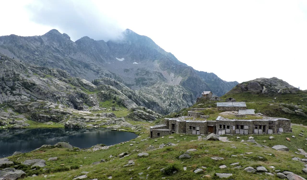
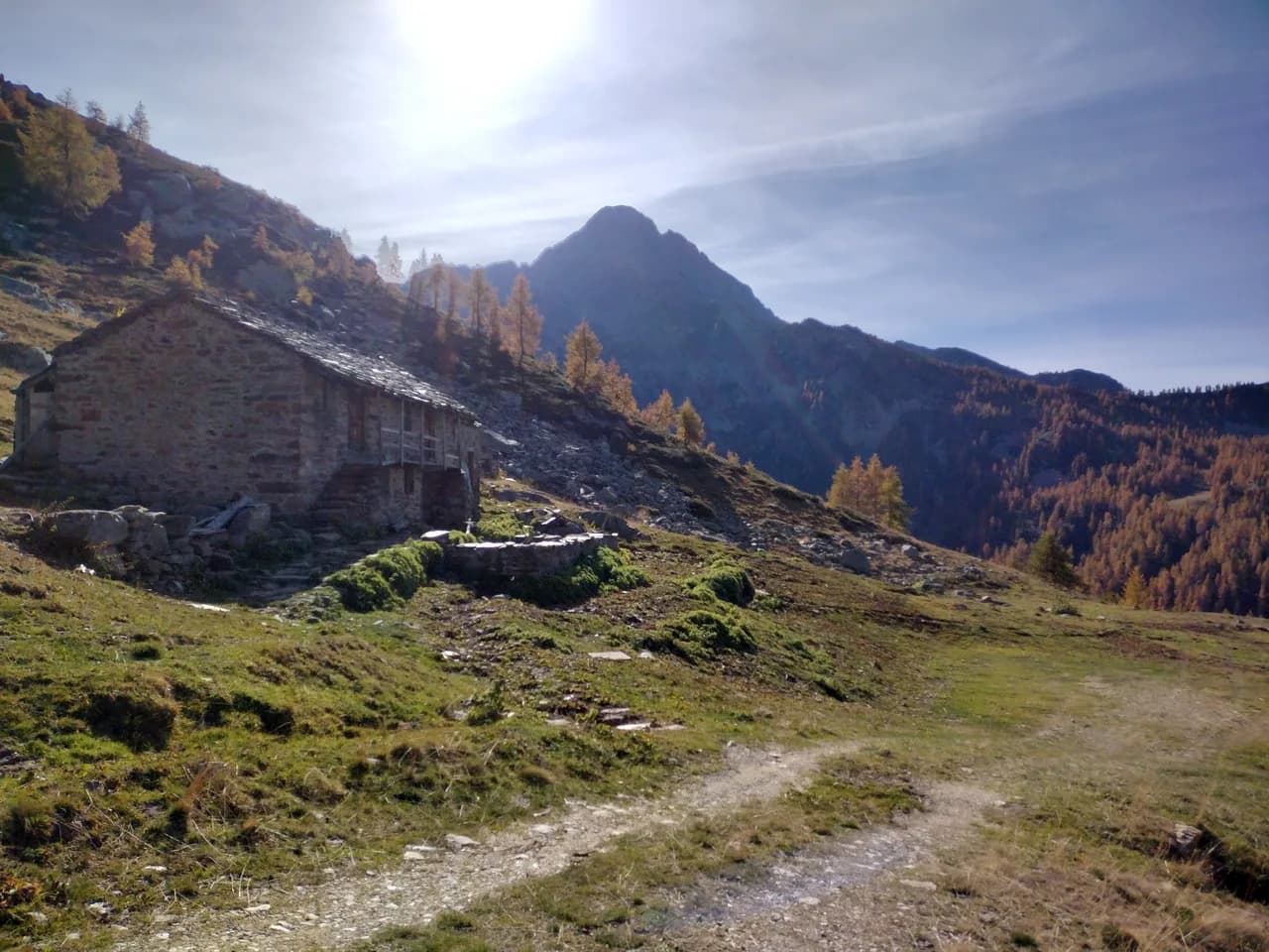
High Route 1 — Stage 2: Perloz → Rifugio Coda
From Perloz hill the trail climbs through Lillianes forest and into the Mont Mars Nature Reserve, where Rifugio Coda at 2280 m opens the view to the high valley.

Trails by mountain
9 documented trails in the Monte Rosa massif massif: difficulty E–EE, elevation gain 320–1427 m.
9 · 9.0–18.2 km · +320–1427 m

Bassa Valle — Mont Mars
From Perloz hill the trail climbs through Lillianes forest and into the Mont Mars Nature Reserve, where Rifugio Coda at 2280 m opens the view to the high valley.

Mont Mars — Valle di Gaby
A high-level traverse between Mont Mars and the Barma Lakes: a skyline path linking two historic huts across a landscape of peat bogs, glacial slabs and end-of-summer bilberry.

Valle di Gressoney
The longest stage in this sequence: 18 km of solitary ridge walking above the Lys valley with Monte Rosa views, ending in the Walser town of Gressoney-Saint-Jean.

Valle di Gressoney — Valle d'Ayas
Crossing Col Pinter at 2777 m is the highlight of this stage: a wild pass between two alpine valleys where Monte Rosa dominates the entire eastern horizon.

Valtournenche
Climb to Colle del Teodulo, pass toward the Swiss side of the tour.

Valle del Lys
Walser climb from Gressoney to Rifugio Gabiet below Lake Gabiet.

Valle del Lys
Traverse toward Colle del Teodulo (3301 m) and Breuil-Cervinia.

Valtournenche
Connection in the Matterhorn valley toward Breuil-Cervinia.

Valle del Lys
Closing the VdA loop: return toward Gressoney.