
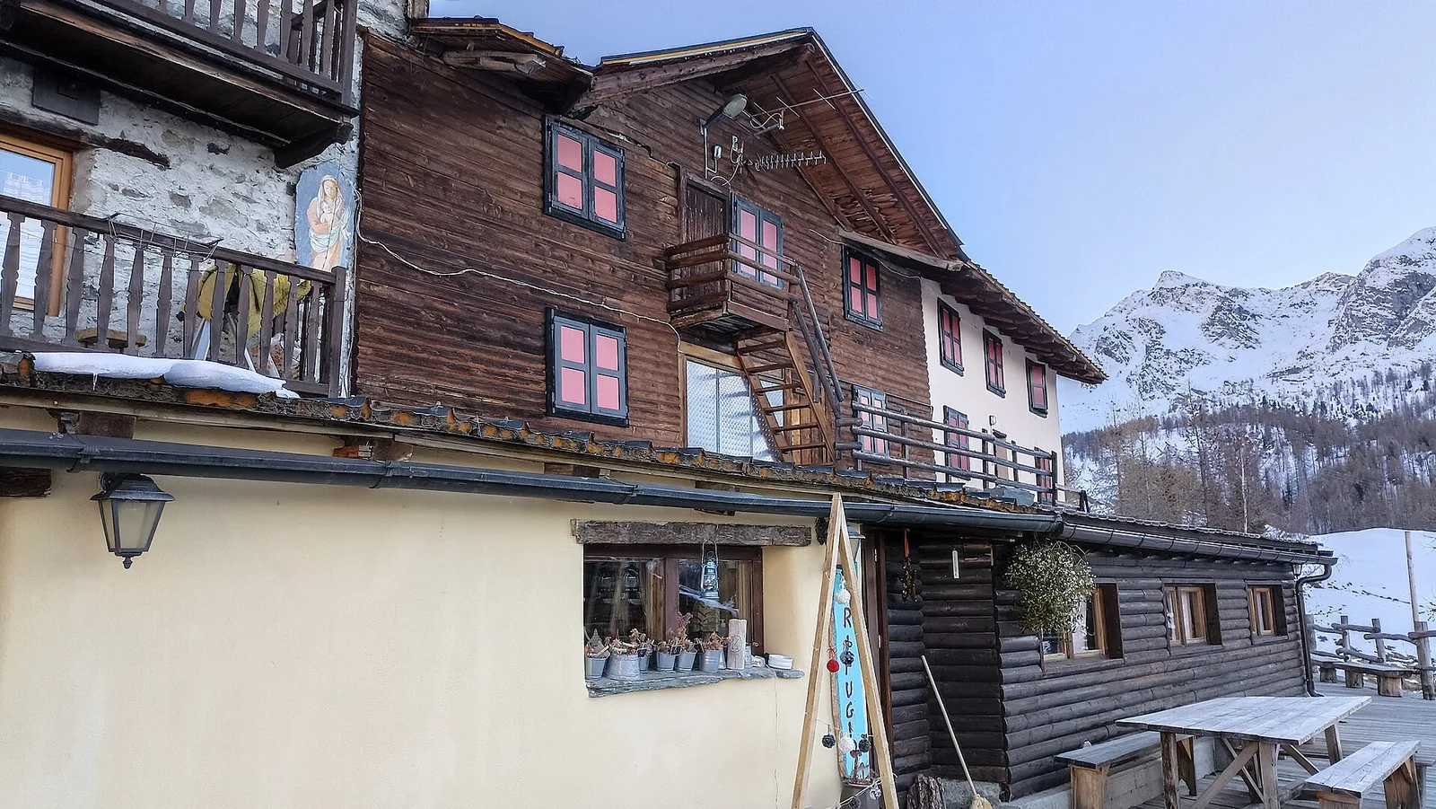
EE
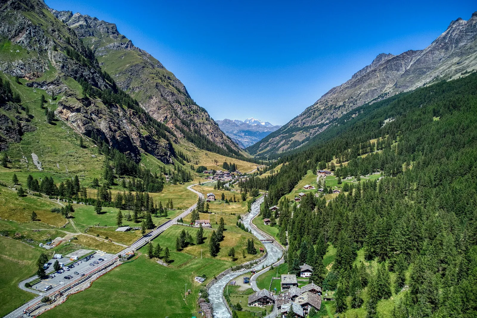
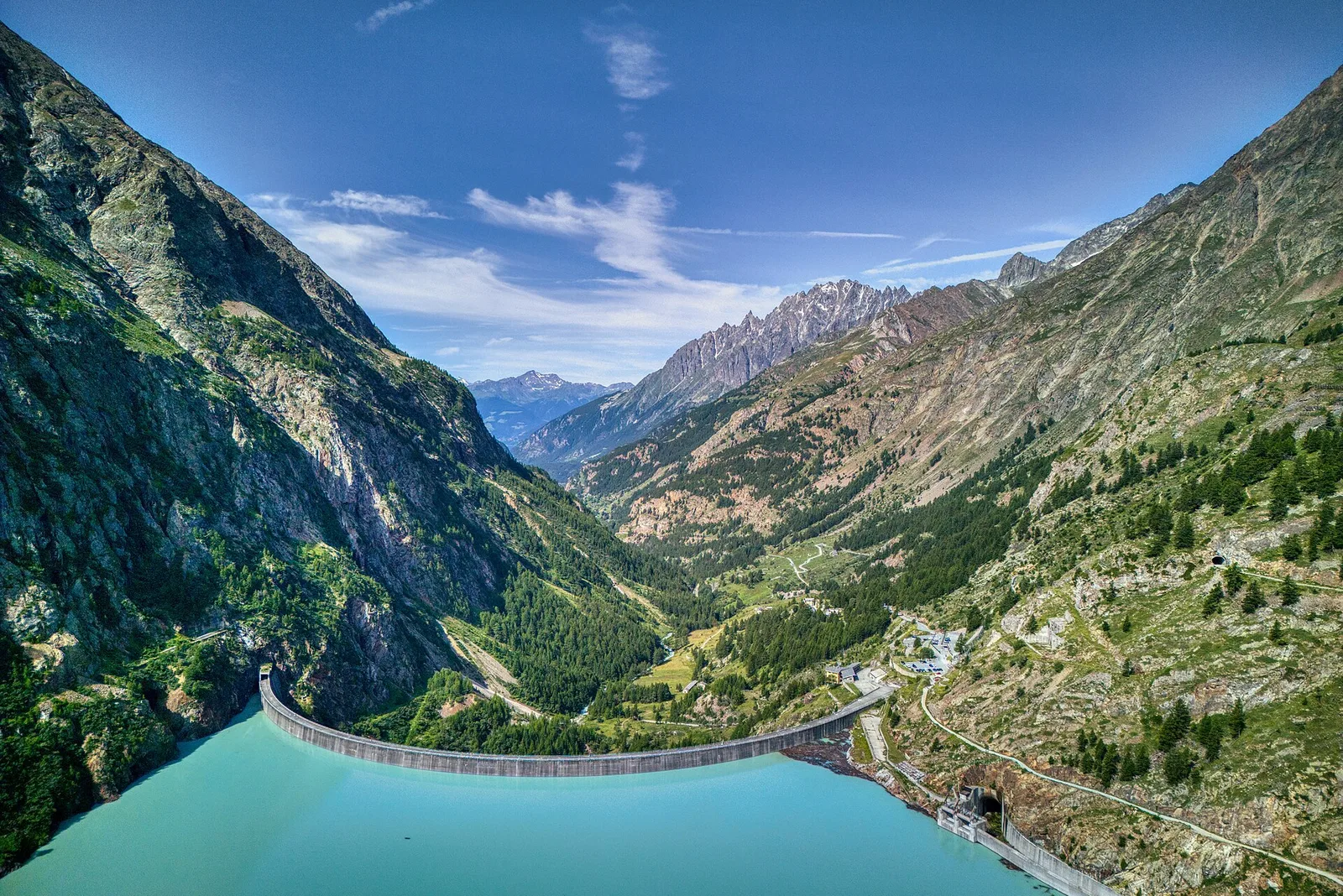
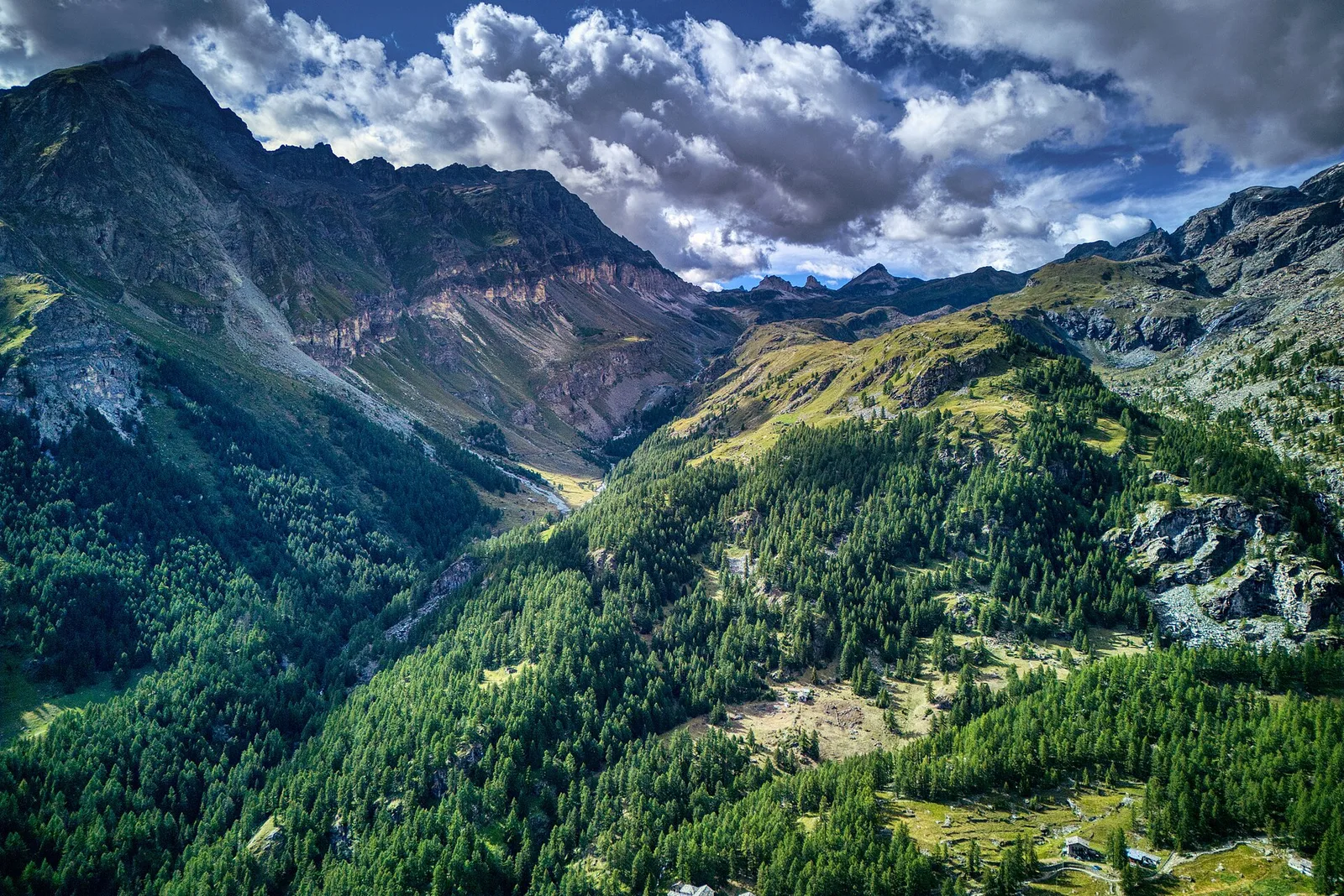
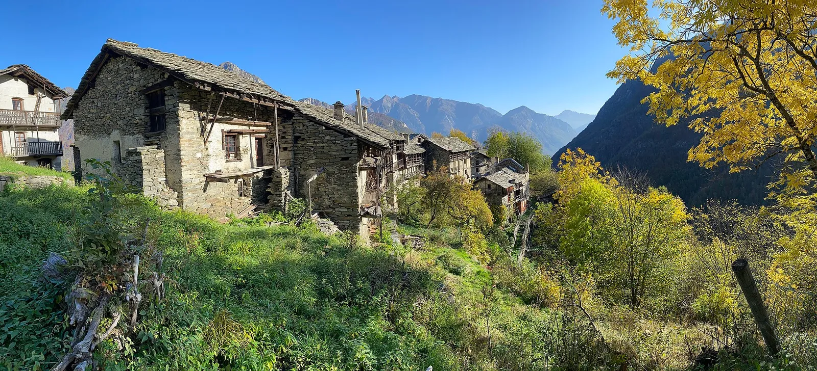
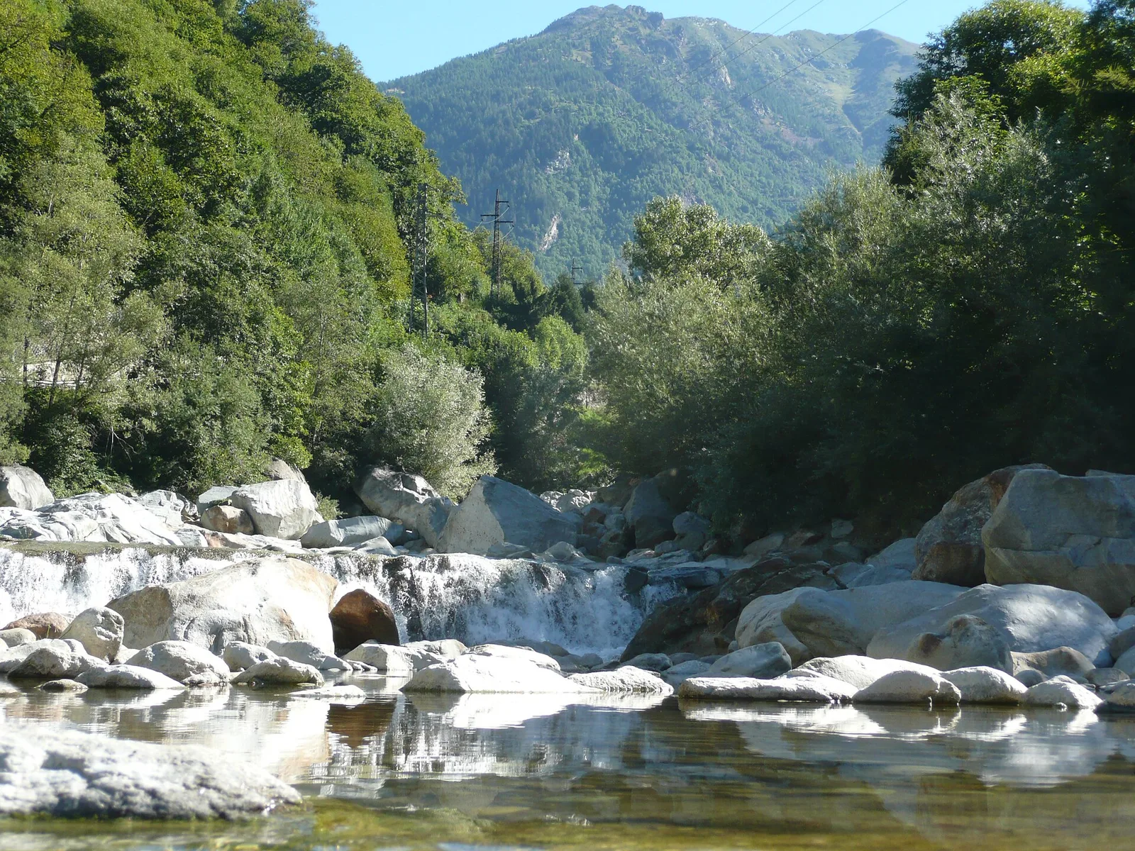
Valle del Lys
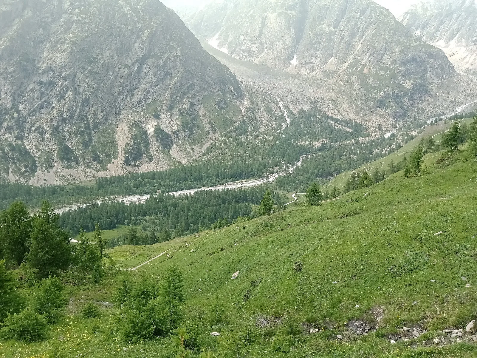
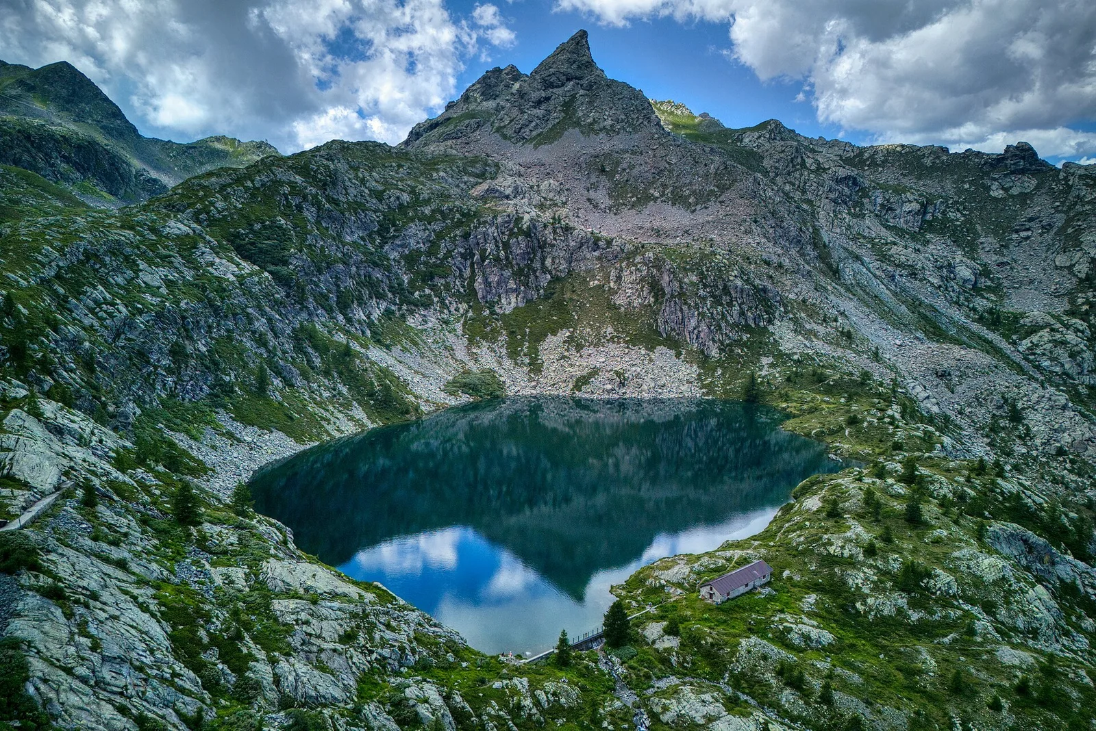
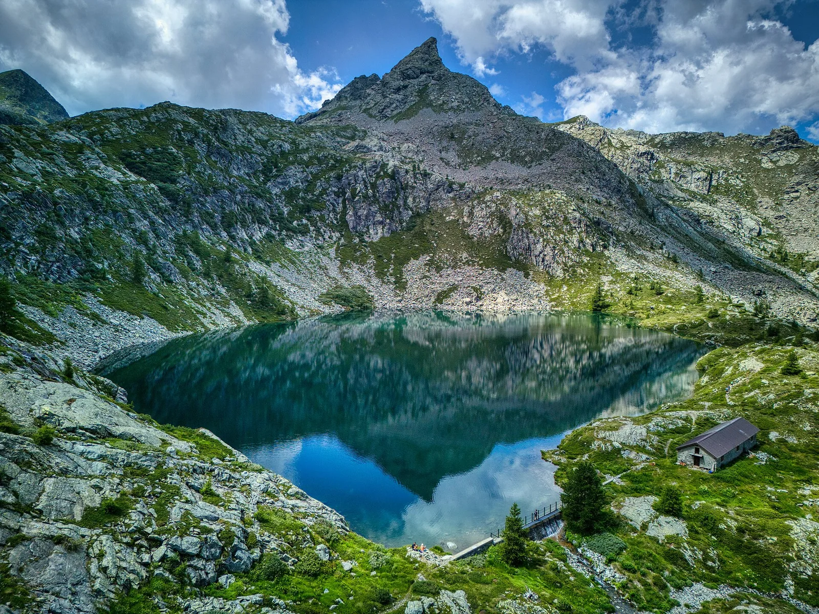
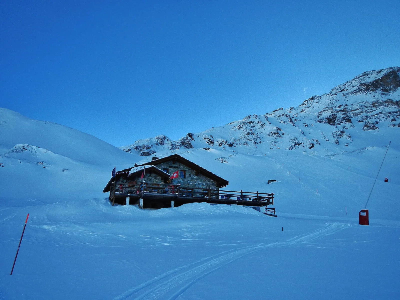
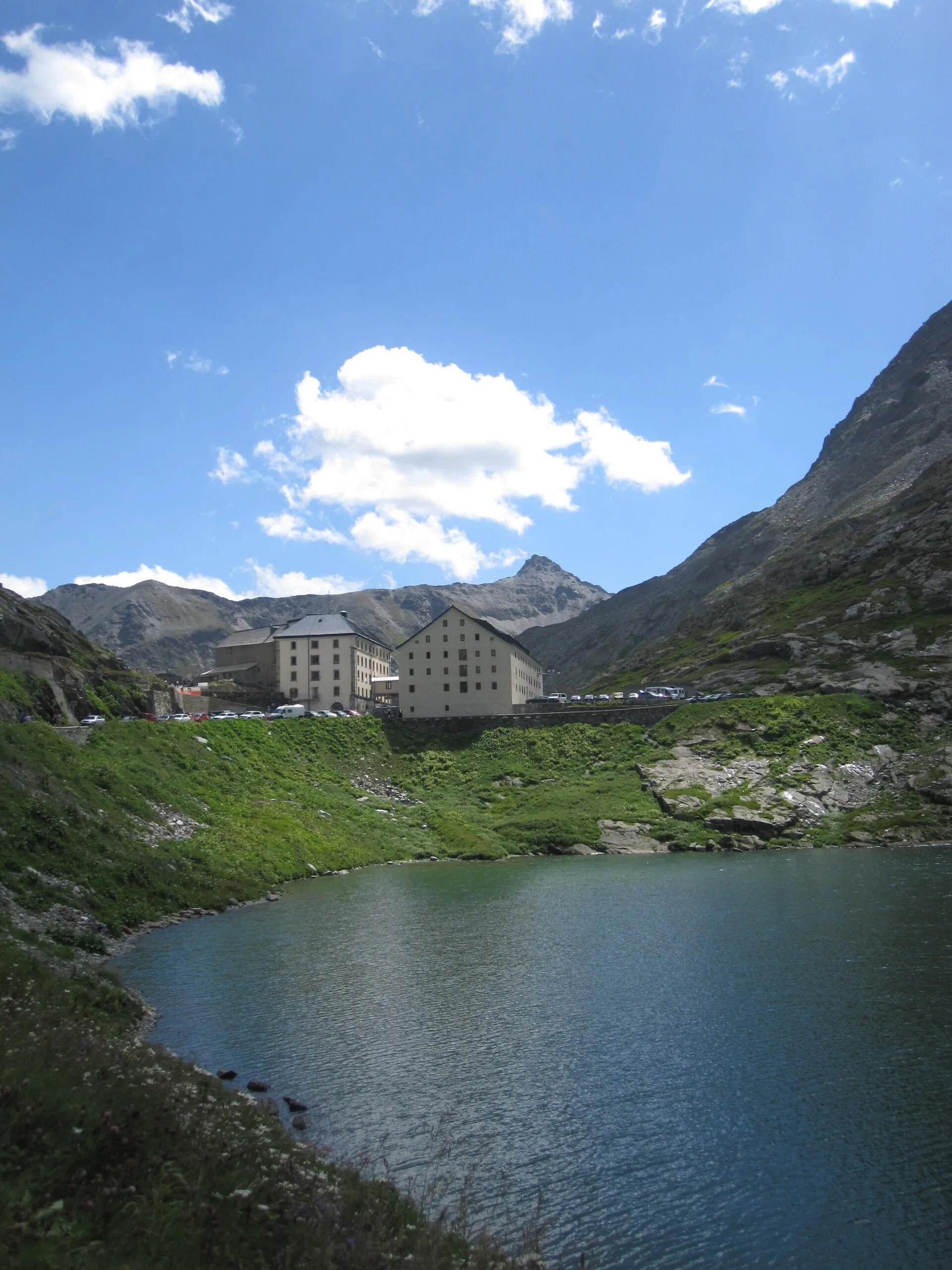
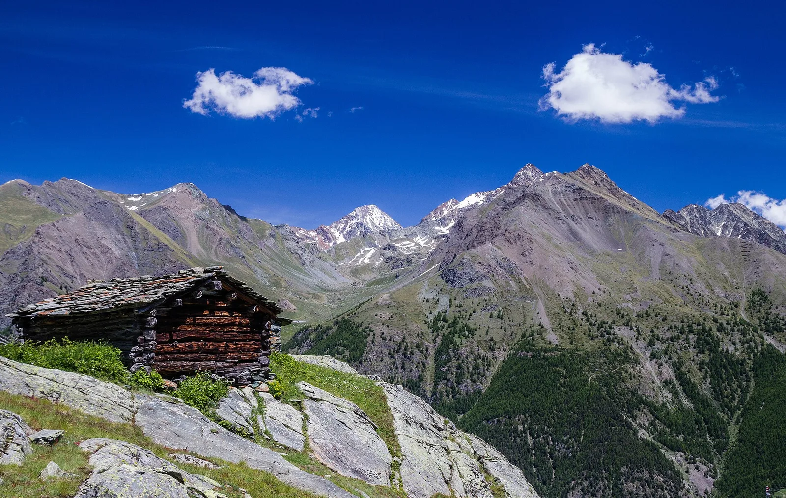
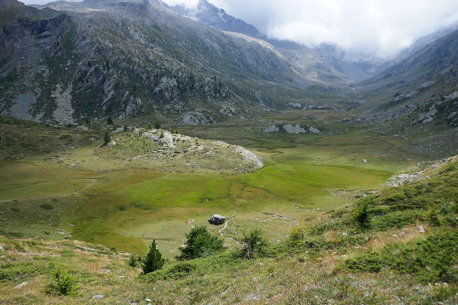
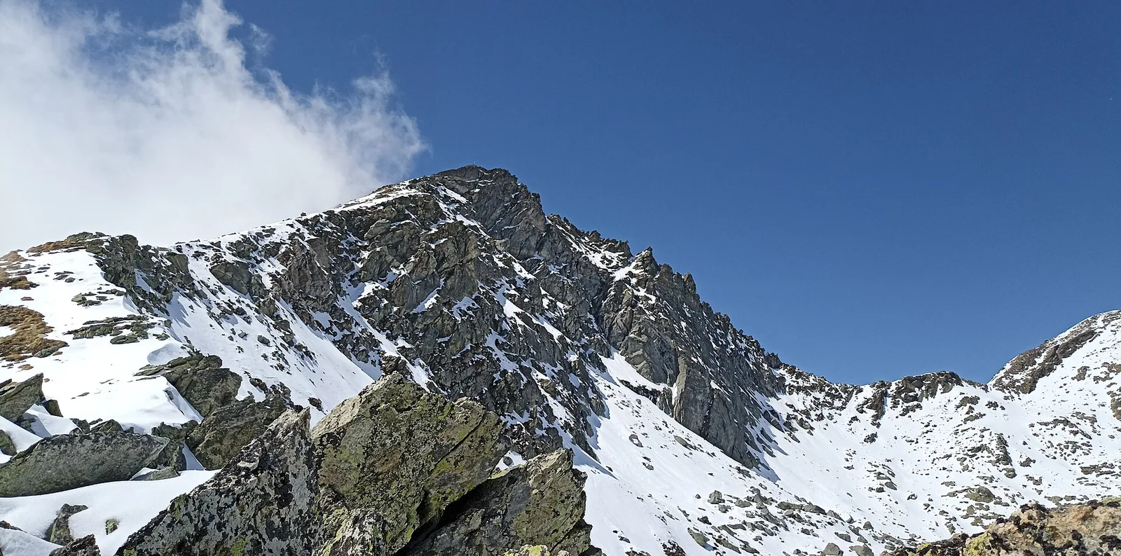
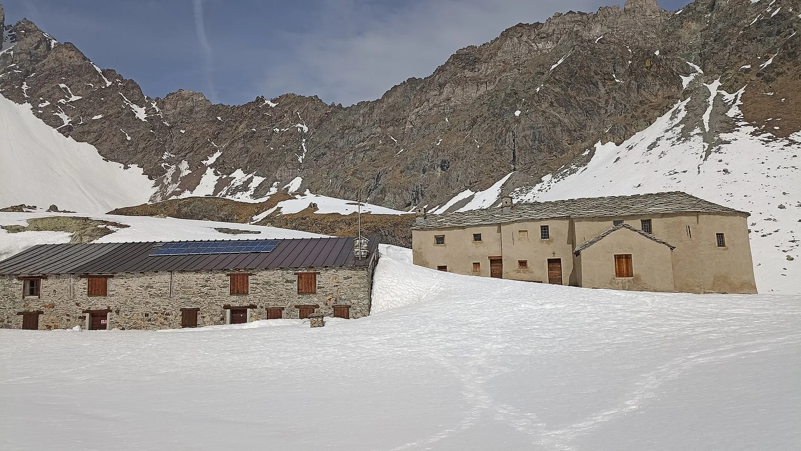
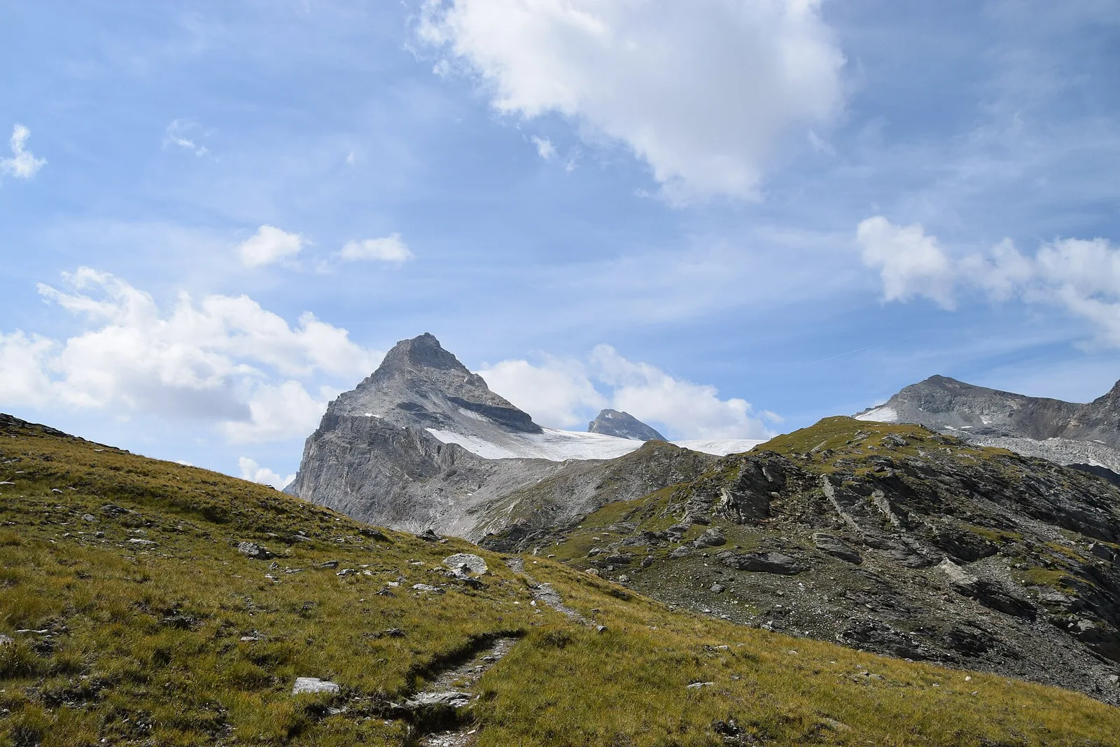
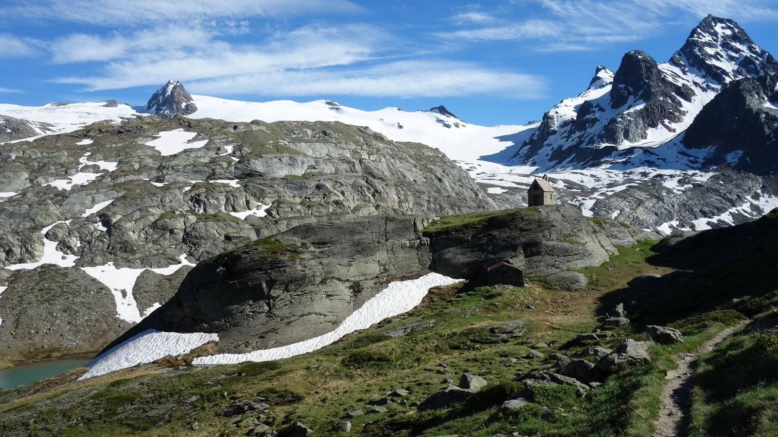
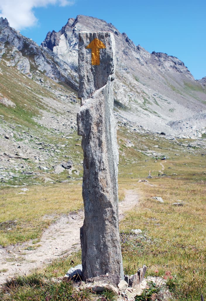
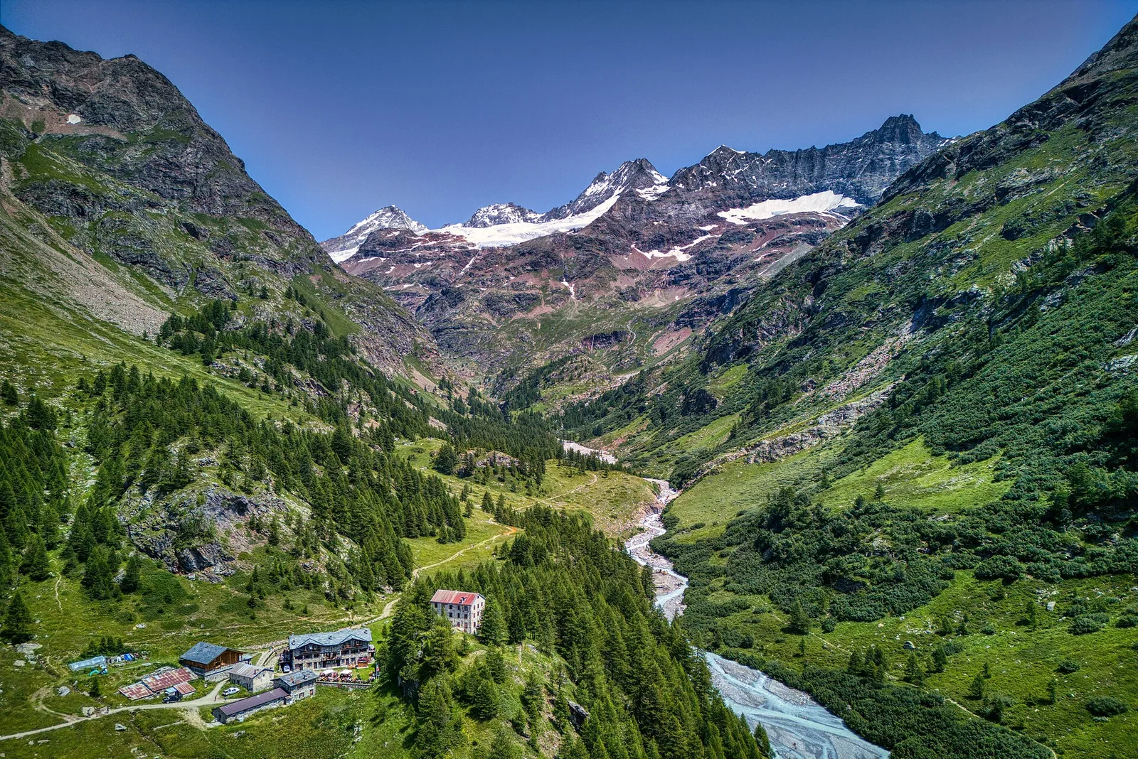
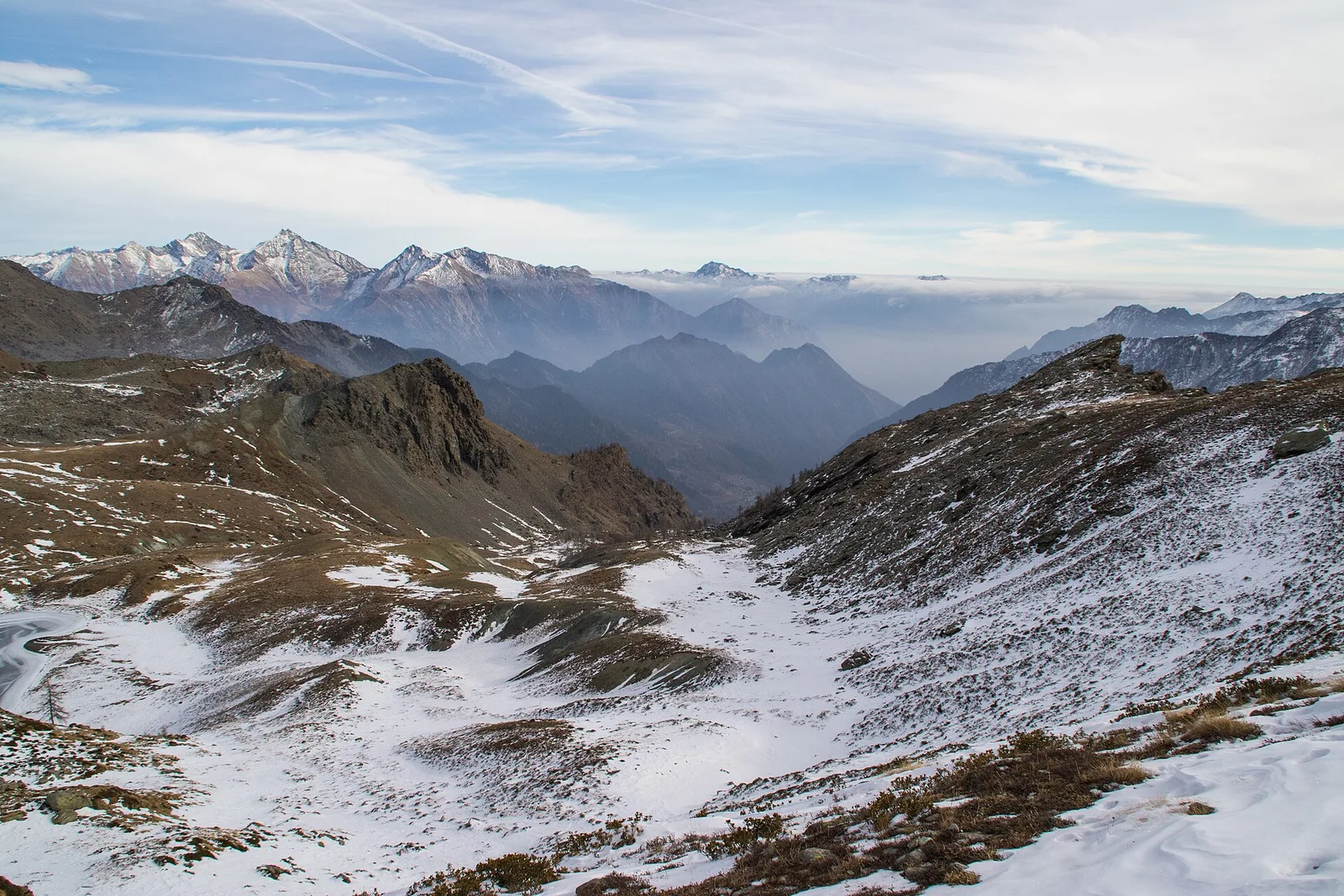
Alpe Bardoney (incrocio sentieri 12-13G)- Col de l'Arolla
5.3 km · +684 m · EE — from Alpe Bardoney (incrocio sentieri 12-13G) to Col de l'Arolla (Lys Valley).
5.3 km+684 m3 h
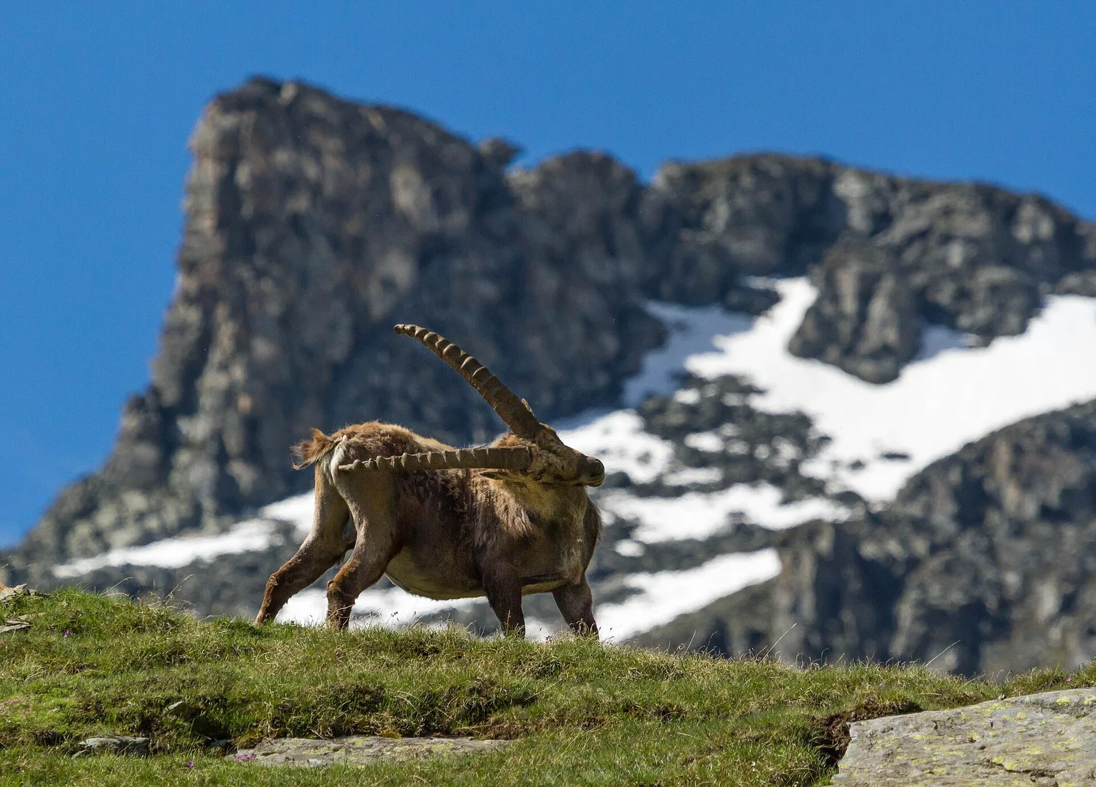
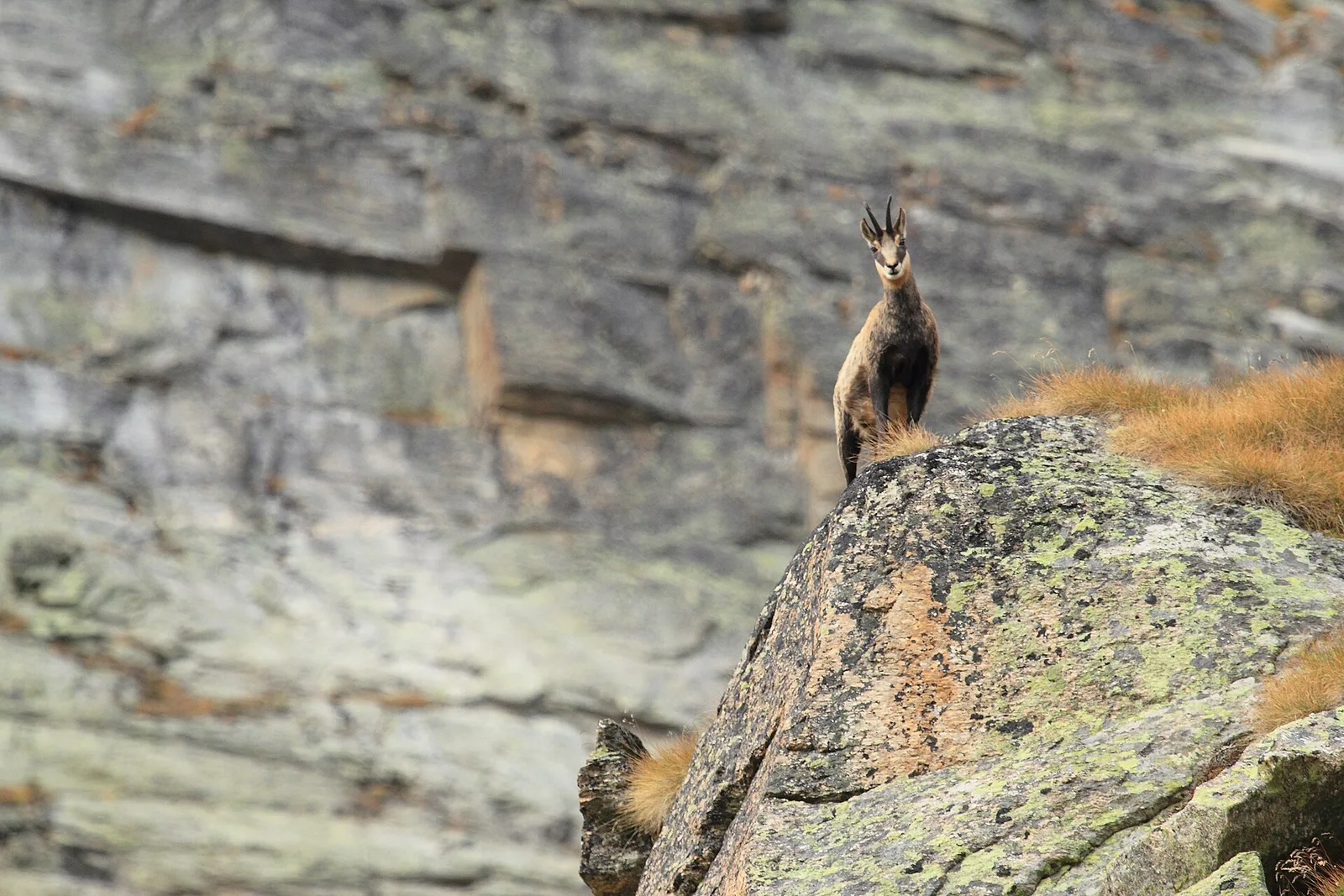
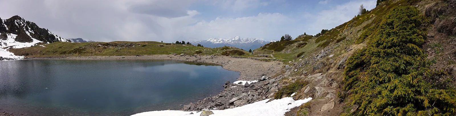
Where to spot
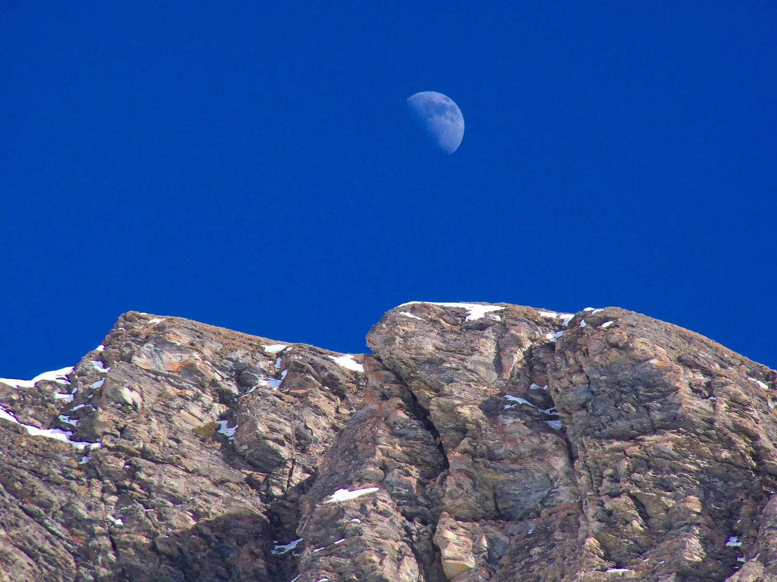
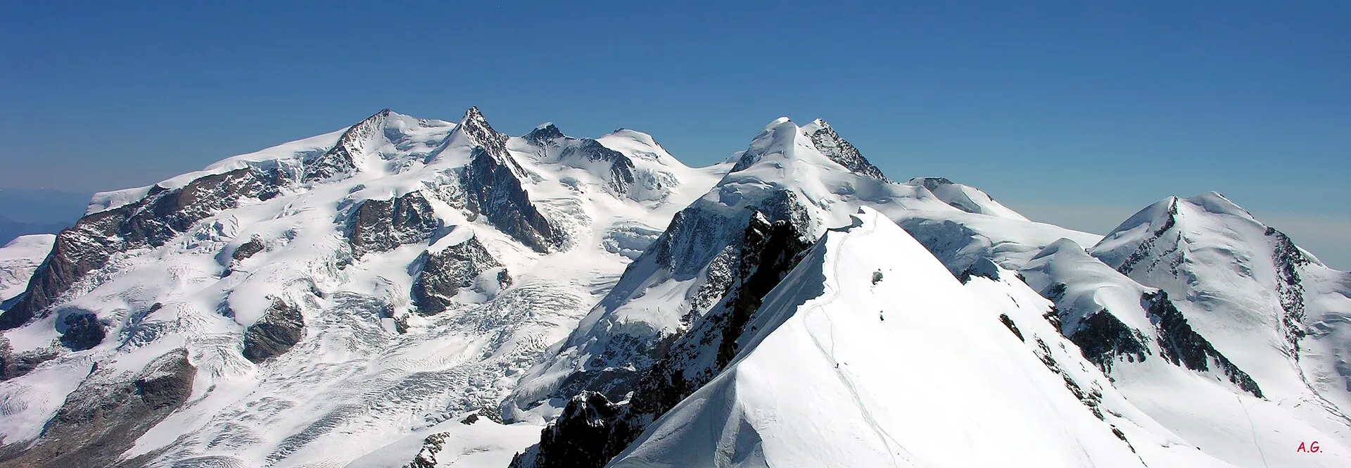
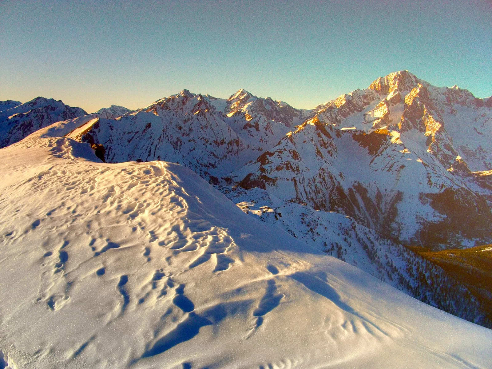
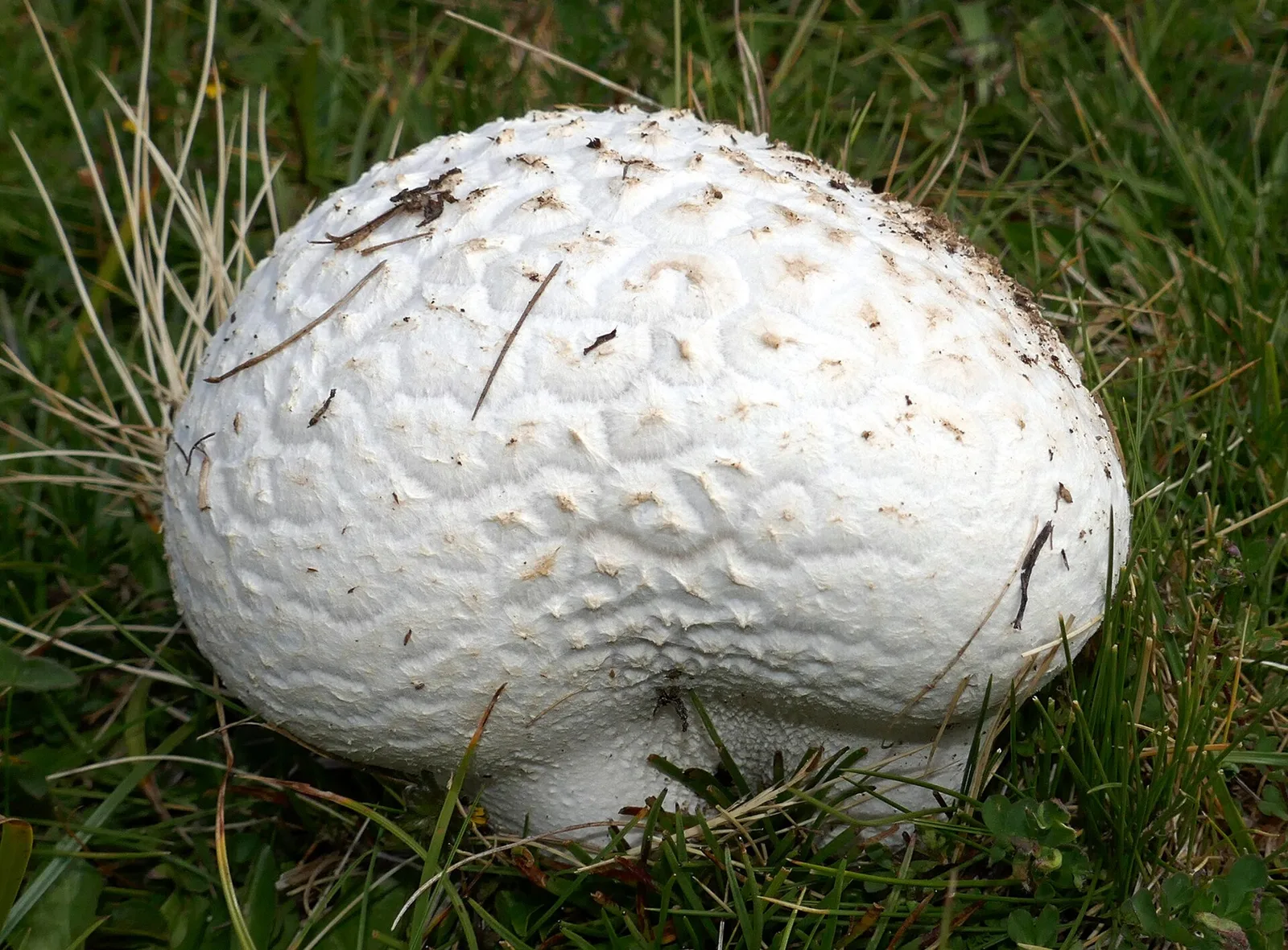
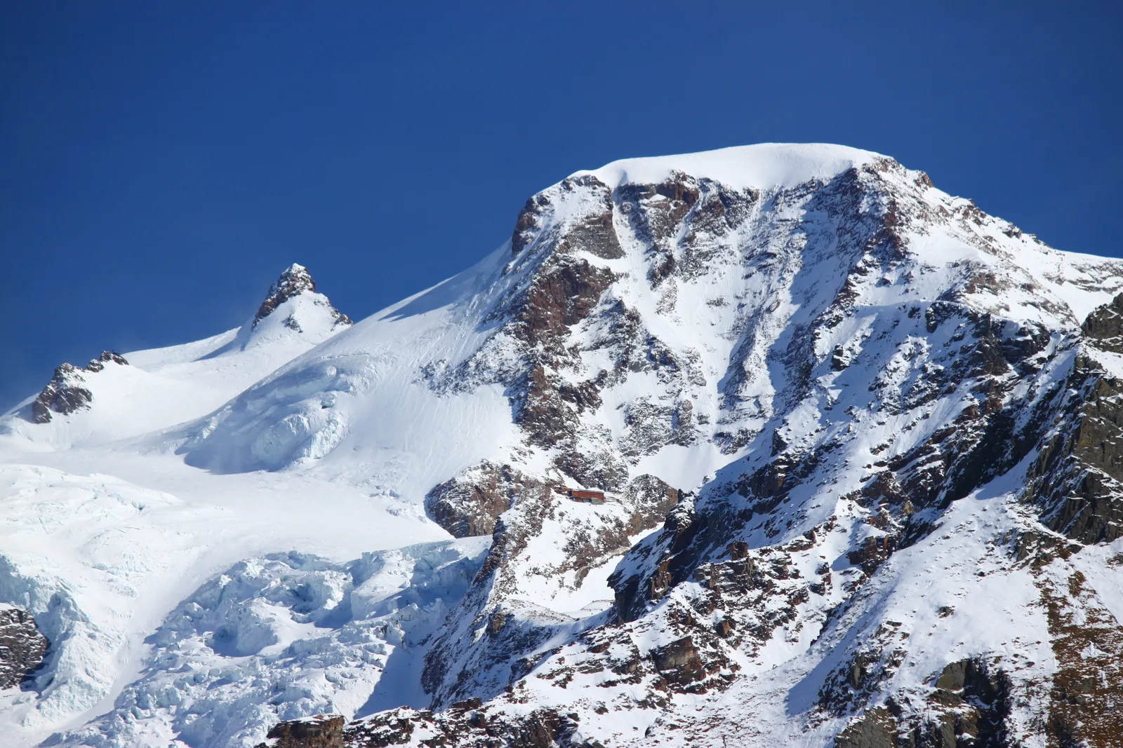
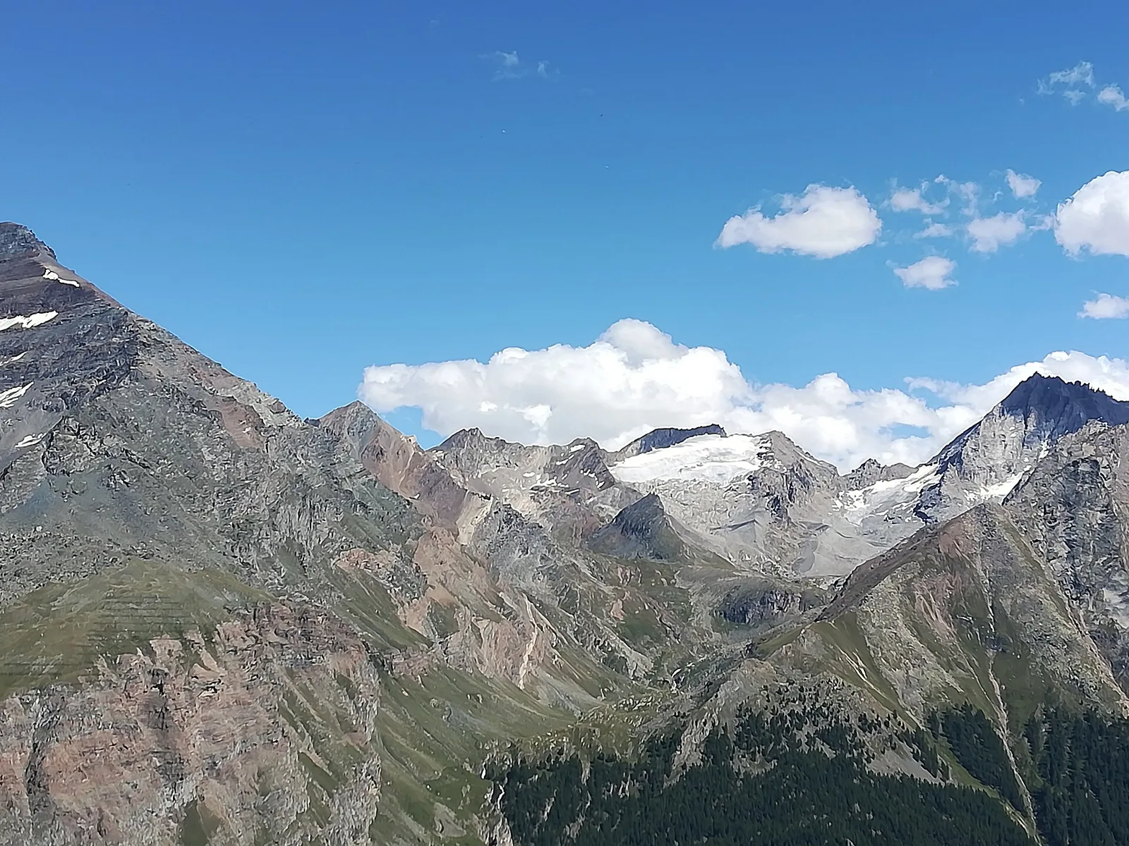
174 trails where Glacier buttercup is listed in flora/fauna: difficulty E–EEA, elevation gain 0–2969 m.
174 · 1.5–78.9 km · +0–2969 m
Valle del Lys
5.3 km · +684 m · EE — from Alpe Bardoney (incrocio sentieri 12-13G) to Col de l'Arolla (Lys Valley).

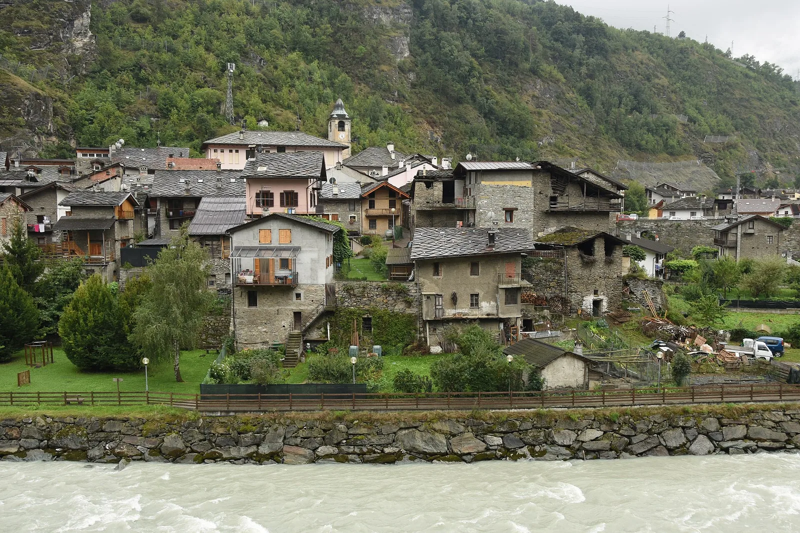
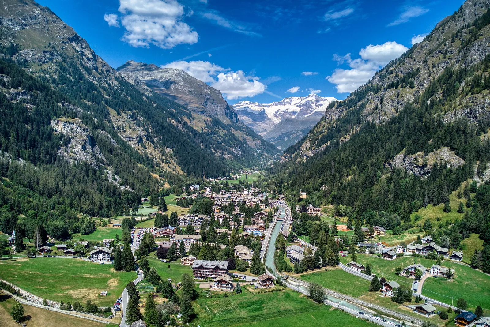
Valle centrale
A demanding EE ascent from Amponey to Becca Trecare at 3032m — nearly 1500m of gain on varied terrain with sweeping summit views.

Valle centrale
In the Val d'Ayas, Ayas: an E-rated climb toward a high-altitude objective through pastures and rock with views of Monte Rosa.
Valle del Gran San Bernardo
6.8 km · +929 m · EE — from Arp-Nouva to Colle des Angrognettes (Great St Bernard Valley).
Val di Rhêmes
11 km · +1555 m · E — from Balme to Col du Berrio Blanc (Rhêmes Valley).
Val di Rhêmes
8.1 km · +1140 m · E — from Balme to Lac de la Platé (Rhêmes Valley).
Valle centrale
5 km · +1265 m · E — from Strada Barbustel to Mont Barbeston (Central Valley).
Val di Cogne
2 km · +556 m · E — from Bivacco Gontier to Col du Tradzo (Cogne Valley).

Valle centrale
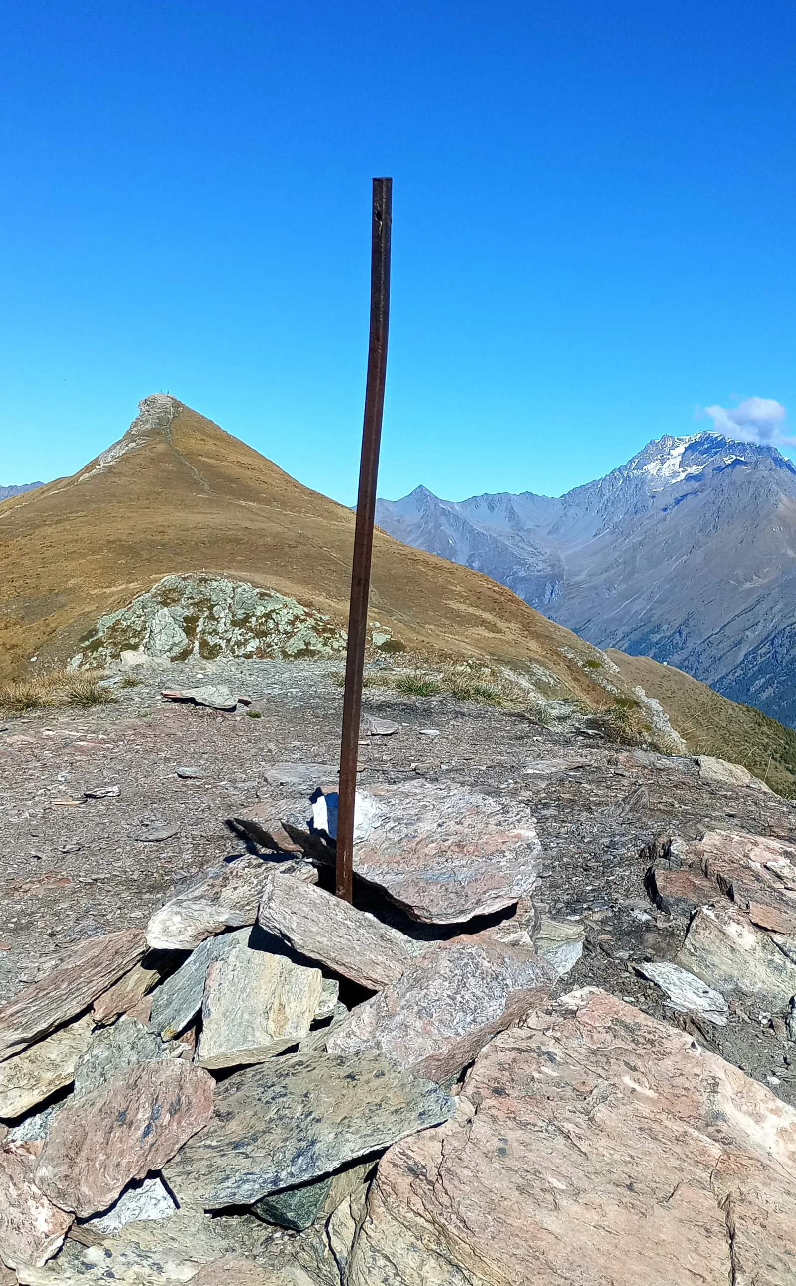
From Bivacco Menabreaz (2546 m) on the shores of Lago Les Laures, the EE route climbs to the Col d'Arbolle (3154 m), a remote pass in the Monte Emilius massif above Brissogne.

Valle centrale
In the Monte Emilius massif: an EE route toward a pass or panoramic point on the ridges above the central Aosta Valley.
Valle centrale
From Bivacco Menabreaz (2546 m) to Col des Laures (3035 m): high altitude, EE terrain and sweeping views over the upper Valle centrale.
Valle centrale
Vallone delle Cime Bianche, commune of Ayas: an EE route through one of the most pristine high-altitude environments of the Val d'Ayas.
Valle centrale
In the Vallone delle Cime Bianche, commune of Ayas: an EE route among glacial lakes and high alpine meadows.
Valle centrale
Commune of Ayas: an EE climb toward the high altitudes of the Val d'Ayas in a high-mountain environment.
Valle centrale
From Blanchard, the long EE route climbs the Vallone delle Cime Bianche to the Colle Inferiore at 2892 m, the pass between Val d'Ayas and Valtournenche.
Valle centrale
From Blanchard (1731m) to Colle Superiore Cime Bianche (2985m): 8.5 km E with panorama over Gran Paradiso, Rosa, Matterhorn and Mont Blanc. Natura 2000 area between Val d'Ayas and Valtournenche.
Valle centrale
Commune of Ayas: an EE climb in high-mountain terrain toward a panoramic high-altitude objective.
Valle centrale
From Blanchard (1,731 m) to the Rifugio Guide di Ayas (3,394 m): 8.8 km and 1,668 m of ascent into the high Ayas Valley, EE difficulty.
Valle centrale
From Blanchard (1731m) to Rifugio Mezzalama (3009m): 7.5 km E to the Castore glacier. Historic mountaineering hut in the upper Val d'Ayas.
Valtournenche
5.4 km · +1376 m · E — from Blavy to Becca di Viou (Valtournenche).
Valle centrale
5 km · +949 m · EE — from Breuil-Cervinia to Croce Carrel (Central Valley).
Valle centrale
6 km · +980 m · E — from Breuil-Cervinia to Colle Superiore delle Cime Bianche (Central Valley).
Valle centrale
7.1 km · +1234 m · EE — from Breuil-Cervinia to Anfiteatro del Furggen (Central Valley).
Valle centrale
8.6 km · +1322 m · EE — from Breuil-Cervinia to Col de Saint-Théodule (Central Valley).
Valle del Gran San Bernardo
5.6 km · +1281 m · E — from Bruil to Col d'Entrelor (Great St Bernard Valley).
Valle del Gran San Bernardo
4.4 km · +1118 m · E — from Bruil to Col Fenêtre de Torrent (Great St Bernard Valley).
Valle centrale
6.5 km · +1197 m · E — from Buthier to Pointe Chaligne (Central Valley).

Valle centrale
6.5 km · +1197 m · E — from Buthier to Punta Chaligne (Central Valley).

La Thuile
9.9 km · +1873 m · E — from Chabodey to Passo Alto (Haut-Pas) (La Thuile).

Valpelline
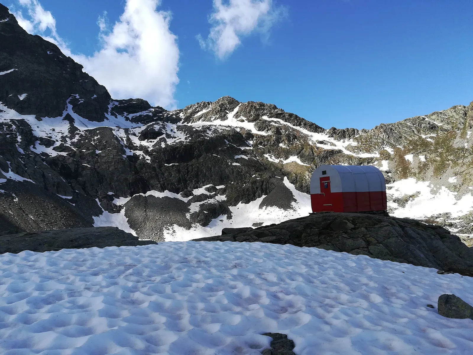
From Chamin (1,732 m) to the Bivacco della Sassa (2,964 m) in the quiet Valpelline: 7.1 km and 1,246 m of ascent.

Valtournenche
3.1 km · +643 m · E — from Champillon to Col Champillon (Valtournenche).
Valle del Lys
5.4 km · +1405 m · E — from Champlong to Mont Creyaz (Lys Valley).

Valle centrale
Upper Val d'Ayas: a route toward a panoramic high-altitude objective across open terrain.
Valle centrale
From Champoluc (1569m) to Testa Grigia (3315m): 8.2 km EEA — the Val d'Ayas summit on foot, full panorama over all Monte Rosa four-thousanders and the Matterhorn.
Valtournenche
8.8 km · +1350 m · EE — from Champorcher to Col de la Fricolla (Valtournenche).
Valtournenche
6.1 km · +770 m · E — from Chardonney to Rifugio Dondena (Valtournenche).
Valle centrale
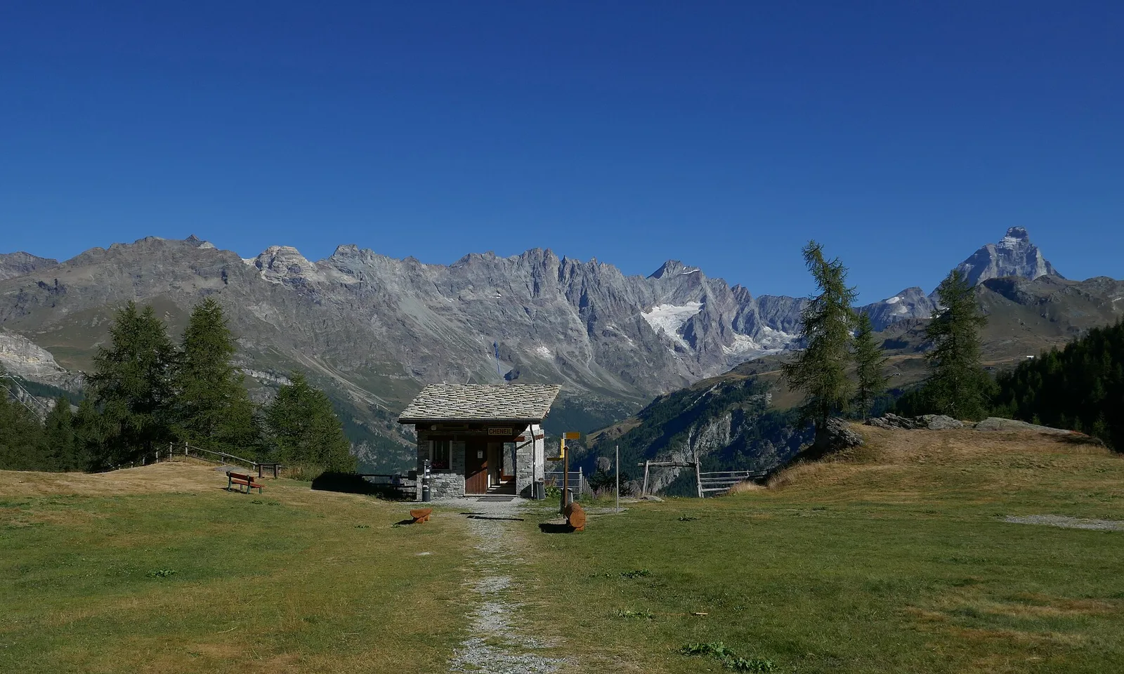
5 km · +1299 m · EE — from Parcheggio Cheneil to Mont Roisetta (Central Valley).
Valtournenche
10.9 km · +1302 m · E — from Surrier to Col Bassac Déré (Valtournenche).
Valpelline
23.9 km · +0 m · EE — from Col Collon to Col de Crêtes Séche (Valpelline).
Valpelline
33.1 km · +2969 m · EE — from Col Collon to Colle del Teodulo (Valpelline).
Valle del Lys
4 km · +440 m · E — from Col de la Fouclaz to Mont-Valaisan (Lys Valley).
Valle del Lys
4.4 km · +920 m · EEA — from Colle Bettaforca to Rifugio Quintino Sella (Lys Valley).
Valle centrale
34.4 km · +0 m · E — from Colle del Teodulo to Col d'Olen (Central Valley).
Valle centrale
78.9 km · +0 m · E — from Colle del Teodulo to Capoluogo (Central Valley).
Val di Cogne
4.8 km · +1024 m · E — from Comboé (Comboué) to Becca di Nona (Cogne Valley).
Val di Cogne
3.7 km · +1032 m · E — from Comboé (Comboué) to Becca di Nona (Cogne Valley).
Valle di Champorcher
6.6 km · +1584 m · E — from Crest-Dèsot to Col de la Fricolla (Champorcher Valley).
Valle del Lys
6.4 km · +1712 m · E — from Cretaz to Bivacco Gratton (Lys Valley).
Valle del Lys
6.8 km · +1712 m · E — from Cretaz to Colle della Rossa (Lys Valley).
Valle centrale
8.8 km · +1911 m · E — from Dailley to Tête de Licony, Bivacco Pascal (Central Valley).
Valle centrale
4.1 km · +550 m · E — from Desert to Motta di Plété Occidentale (Central Valley).
Valle centrale
3.6 km · +586 m · EE — from Illiaz Perron to Colle Roisetta (Central Valley).
Valtournenche
6.7 km · +739 m · E — from Dondena to Col Fenetre de Champorcher (Valtournenche).
Valtournenche
7.8 km · +1098 m · EE — from Dondena to Mont Glacier (Valtournenche).
Valle del Gran San Bernardo
13.4 km · +1593 m · EE — from Druges to Col de Leppe (Great St Bernard Valley).
Valle del Gran San Bernardo
11.9 km · +1402 m · E — from Druges to Col de Saint-Marcel (Great St Bernard Valley).

Valle del Gran San Bernardo
12.7 km · +1360 m · E — from Druges to Col Lavodilec (Great St Bernard Valley).
Val d'Ayas
12.4 km · +1644 m · E — from Eaux-Rousses to Col Loson (Ayas Valley).
Val d'Ayas
10.2 km · +1325 m · E — from Eaux-Rousses to Col de l'Entrelor (Ayas Valley).
Valle del Lys
6.9 km · +1772 m · E — from Epinel to Bivacco Gratton (Lys Valley).

Valpelline
8.6 km · +1369 m · EE — from Etirol to Col de Fort (Valpelline).

Valpelline
9.9 km · +1466 m · EE — from Etirol to Cima Bianca (Valpelline).
Valpelline
11.4 km · +1433 m · EE — from Etirol to Col de Chavacour (Valpelline).
Valle centrale
8.9 km · +1661 m · E — from Gignod to Pointe Chaligne (Central Valley).

Valle del Lys
8.4 km · +1198 m · E — from Gimillan to Col de Saint-Marcel (Lys Valley).
Valle del Lys
10.8 km · +1142 m · E — from Gimillan to Pas des Invergneux (Lys Valley).
Valpelline
3.7 km · +1428 m · EE — from Glacier to Rifugio Amianthe (Valpelline).
Valle del Lys
4 km · +755 m · EE — from Grand Alpe to Col Lavodilec (Lys Valley).
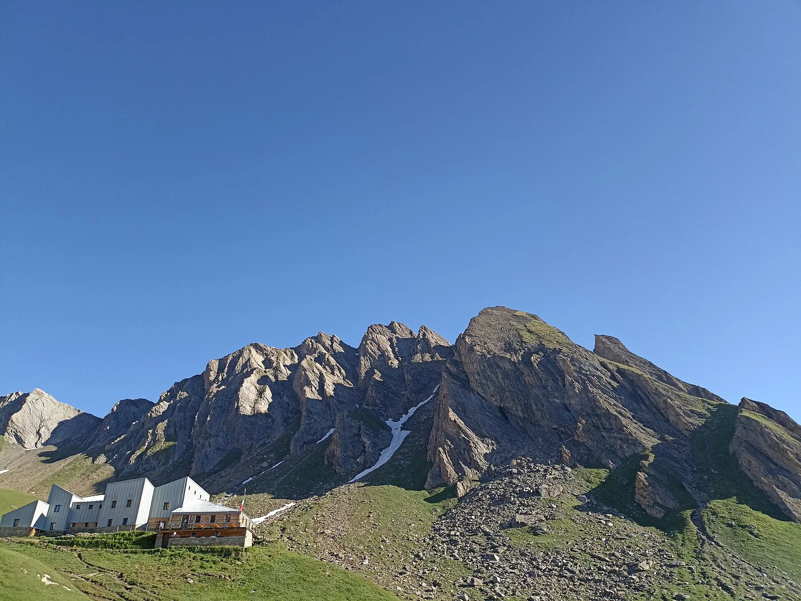
Valle centrale
5.8 km · +1264 m · EE — from Cheneil to Grand Tournalin (Central Valley).
Valle del Lys
5.4 km · +1403 m · EE — from Gressoney-la-Trinité to Piccolo Rothorn (Lys Valley).

Valle del Lys
5.9 km · +1689 m · EEA — from Capoluogo to Testa Grigia (Groabhopt) (Lys Valley).
Val d'Ayas
6.4 km · +1576 m · E — from Kunju to Col Chasten Sud (Ayas Valley).
Valtournenche
7.6 km · +1281 m · E — from La Béthaz to Rifugio degli Angeli al Morion (Valtournenche).
Valdigne
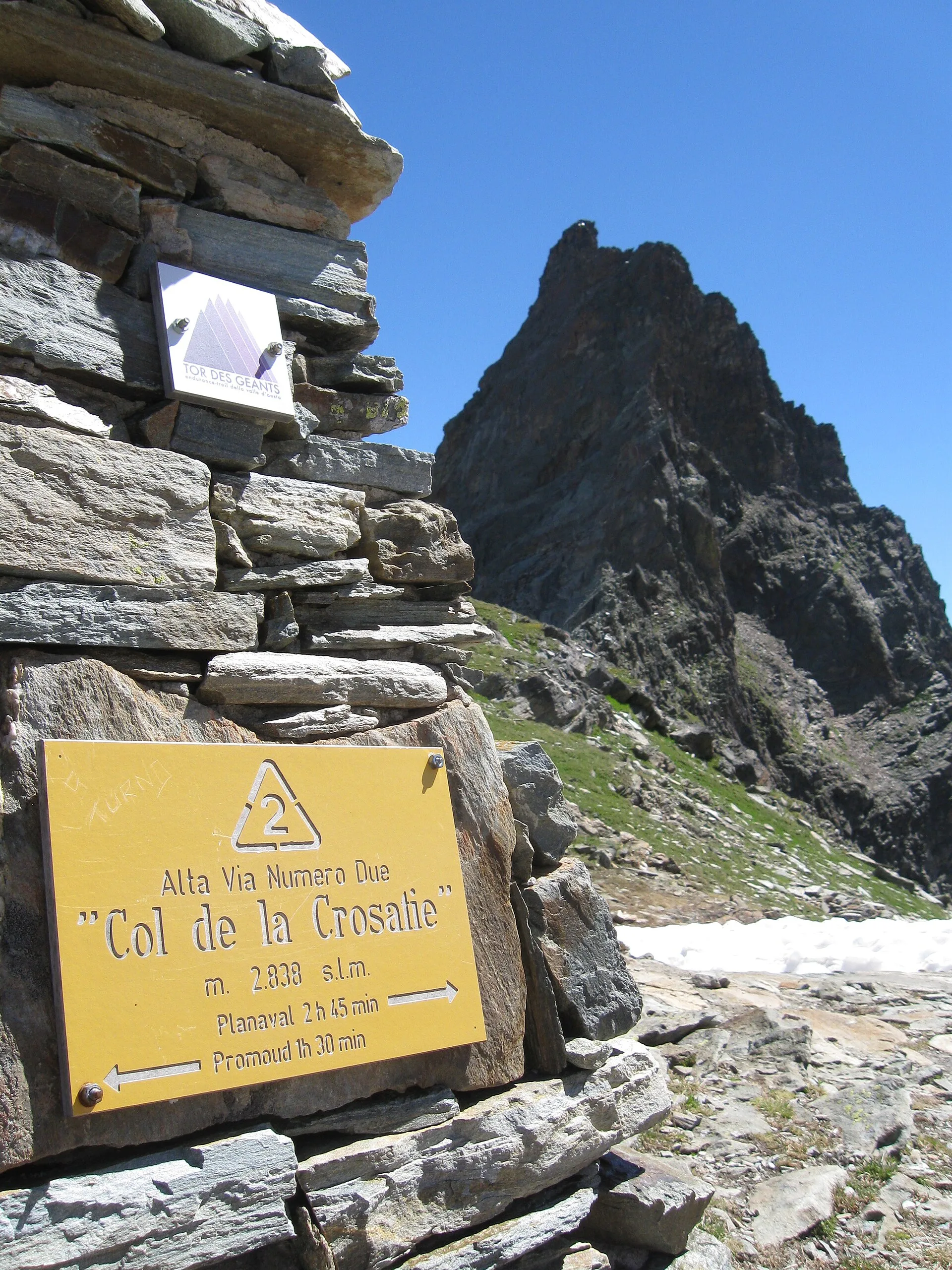
A sustained climb from La Clusaz (1660 m) to the Col de la Crosatie (2829 m), a high pass on the Alta Via 2 towards Planaval.
Valdigne
From La Clusaz (1,660 m) to the high-alpine Pas de Planaval (3,013 m) in the Valdigne: 7.5 km and 1,356 m of ascent, EE difficulty.
Valle centrale
4.5 km · +951 m · E — from Lac d'Arpy to Mont Cormet (Central Valley).

Val di Cogne
3 km · +759 m · EE — from Lac de Chamolé to Pointe-Valletta (Cogne Valley).
La Thuile
6.8 km · +1331 m · E — from Lazey, innesto strada sterrata to Col de la Crosatie (La Thuile).

Valle del Lys
9 km · +1364 m · EE — from Le Crin to Col Fussy (Lys Valley).
Valle del Lys
9.1 km · +1362 m · EE — from Le Crin to Col Fussy (Lys Valley).

Valle del Lys
7.8 km · +1322 m · EE — from Le Crin to Col Lavodilec (Lys Valley).

Valle del Lys
8.6 km · +1305 m · EE — from Le Crin to Col Moutsaillon (Lys Valley).
Valle centrale
5.4 km · +1289 m · E — from Le Miriou to Monte Lose Bianche (Central Valley).
Valle centrale
4.8 km · +1248 m · E — from Le Miriou to Punta Prial (Central Valley).
Valpelline
From Lessert (1,618 m) to the Col de Crête Sèche (2,898 m) in the Valpelline: 6.5 km and 1,330 m to a high pass on the Swiss border.
Val d'Ayas
6 km · +975 m · EEA — from Levionaz to Passage du Grand Neyron (Ayas Valley).
Valle del Lys
13 km · +1321 m · EE — from Lillaz to Col des Eaux-Rousses (Lys Valley).
Valle del Lys
12.3 km · +1280 m · E — from Lillaz to Col de l'Arietta (de la Nouva) (Lys Valley).
Valle del Lys
13.7 km · +1295 m · E — from Lillaz to Col Pontonnet (Lys Valley).
Valle del Lys
12.8 km · +1300 m · E — from Lillaz to Pas des Invergneux (Lys Valley).
Valle del Lys
13.6 km · +1226 m · E — from Lillaz to Col Finestra (Lys Valley).
Valle del Lys
12.3 km · +1392 m · E — from Lillaz to Santuario di San Besso (Lys Valley).

Valtournenche
5.7 km · +980 m · E — from Menthieu, partenza poderale to Forclaz du Bré (Valtournenche).
Valtournenche
5.5 km · +1059 m · E — from Menthieu, partenza poderale to Rifugio degli Angeli al Morion (Valtournenche).
Valtournenche
7.3 km · +1243 m · E — from Mondanges to Col de Cussunaz (Valtournenche).

Valtournenche
9.2 km · +1353 m · E — from Mondanges to Col de Feleumaz (Valtournenche).
La Thuile
7.7 km · +1291 m · E — from Morges to Col du Bataillon-Aoste (Battaglione Aosta) (La Thuile).
Val d'Ayas
3.2 km · +328 m · E — from Muni to Col Dondeuil (Ayas Valley).

Valle del Gran San Bernardo
3.6 km · +850 m · E — from Niel to Col Lazouney (Great St Bernard Valley).
Valle di Champorcher
4.9 km · +1393 m · EE — from Obrò Biela to Passo di Rissuolo (Champorcher Valley).
Valle centrale
7.2 km · +1422 m · EE — from Paquier to Becca d'Aran (Central Valley).
Valtournenche
7.4 km · +873 m · EE — from Parcheggio Dondena to Col de la Roese di Bantse (Valtournenche).
Valtournenche
7.7 km · +812 m · E — from Parcheggio Dondena to Col Pontonnet (Valtournenche).
Valle centrale
5.5 km · +971 m · EE — from Perrères to Motta di Plété Occidentale (Central Valley).
Valle centrale
9 km · +1334 m · EE — from Perrères to Col de Valcournera (Central Valley).
Valle centrale
5.5 km · +928 m · EEA — from Laghetto Vofrède to Rifugio Perucca Vuillermoz (Central Valley).
Valle del Lys
3.2 km · +384 m · EEA — from Piatta-de-Greuvon to Pointe Valletta (Lys Valley).
Valpelline
Upper Valpelline, Bionaz: a climb over open terrain with views of the glacial summits at the valley head.
Valpelline
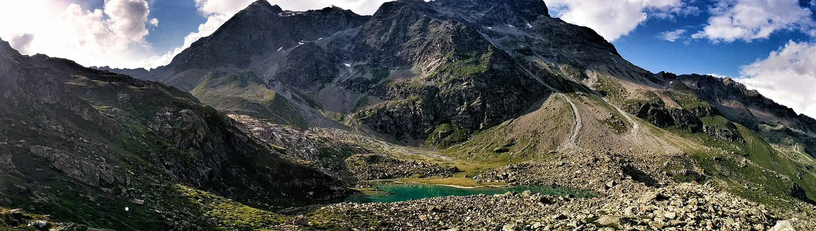
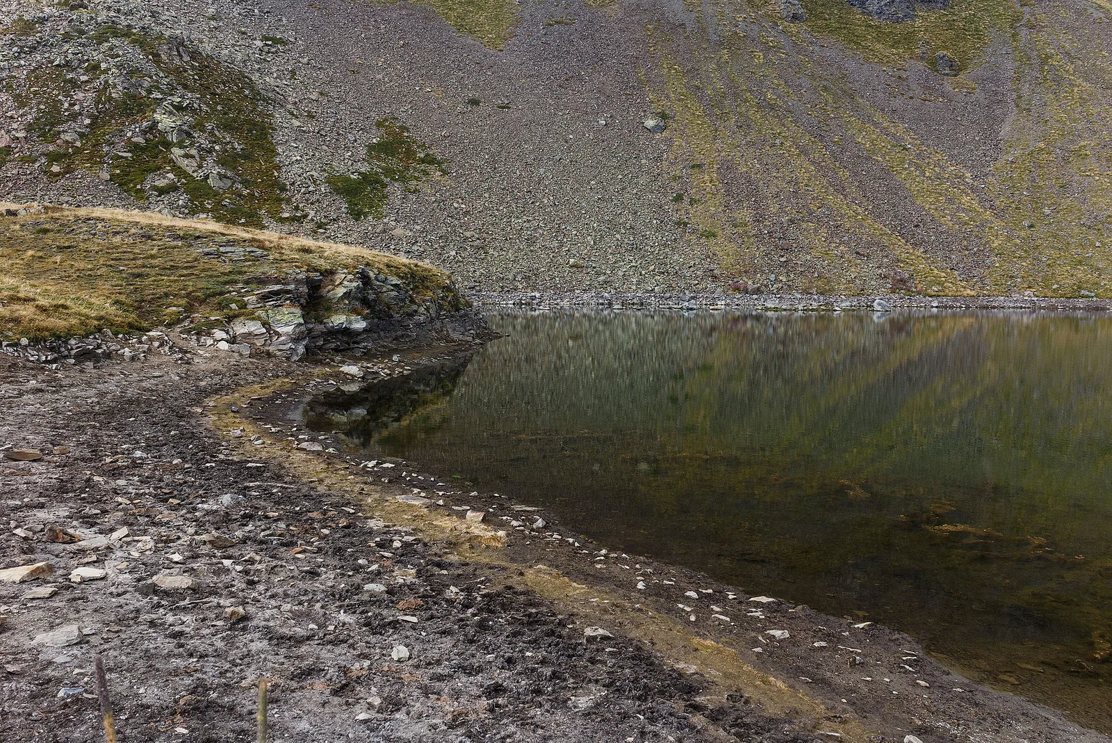
From Place Moulin dam (2011m) to Lac Mort (2865m): 4.9 km in the upper Valpelline toward a glacial lake of stark alpine character. July–September only.
Valle centrale
4.5 km · +428 m · E — from Plan Maison to Colle Superiore Cime Bianche (Central Valley).

La Thuile
8 km · +1315 m · E — from Planaval to Col du Bataillon-Aoste (Battaglione Aosta) (La Thuile).
Val d'Ayas
3.1 km · +839 m · E — from Pont to Col du Grand- Collet (Ayas Valley).
Val d'Ayas
6.3 km · +873 m · E — from Pont to Col du Grand- Collet (Ayas Valley).
Valle del Gran San Bernardo
3.7 km · +1079 m · EE — from Pont Combal to Bivacco Rainetto (Great St Bernard Valley).
Val d'Ayas
From Pont de Messuere (1425m) to Corno Boussolaz (3023m) via Lago Bringuez: 6.4 km EE with 1593 m of ascent, one of Val d'Ayas's most demanding routes.
Valpelline
From Pouillaye (1626 m) to Colle di Montagnaye (2907 m): a demanding border crossing between the Valpelline and the Swiss Canton of Valais.
Valle del Gran San Bernardo
6.8 km · +1257 m · E — from Pra Sec to Colle Battaglione Aosta (Great St Bernard Valley).
Valdigne
9.1 km · +1246 m · EE — from Promiod to Mont Tantané (Valdigne).
Valdigne
6.6 km · +1143 m · E — from Promiod to Zerbion (Valdigne).
Valle centrale
2.2 km · +586 m · EE — from Résy to Palon de Résy (Central Valley).

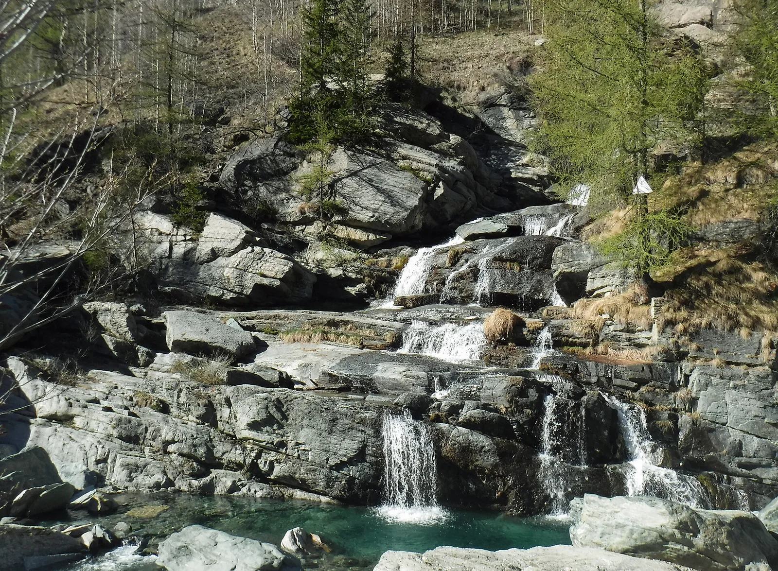
Val di Cogne
4.2 km · +648 m · E — from Rifugio Arbolle to Col d'Arbolle (Cogne Valley).
Val di Cogne
5.1 km · +1055 m · EE — from Rifugio Arbolle to Mont-Emilius (Cogne Valley).

Val d'Ayas
2.4 km · +434 m · E — from Rifugio Arp to Col de Valfredda (Ayas Valley).

Val d'Ayas
2.6 km · +518 m · EE — from Rifugio Arp to Punta Valfredda (Ayas Valley).
Valle centrale
5.2 km · +468 m · E — from Rifugio Barbustel to Col de Mézove (Central Valley).
Valle centrale
5.6 km · +726 m · EE — from Rifugio Barmasse to Bivacco Rivolta (Central Valley).
Valle del Gran San Bernardo
5 km · +800 m · E — from Rifugio Benevolo to Col Bassac Déré (Great St Bernard Valley).
Valle del Gran San Bernardo
5.4 km · +889 m · E — from Rifugio Benevolo to Col Rosset (Great St Bernard Valley).
Valtournenche
4.5 km · +877 m · E — from Rifugio Bezzi to Col Bassac (Valtournenche).
Valtournenche
5.3 km · +807 m · E — from Rifugio Bezzi to Col Bassac Deré (Valtournenche).
Valtournenche
4 km · +556 m · E — from Rifugio Bezzi to Col de Vaudet (Valtournenche).
Valtournenche
4.5 km · +594 m · E — from Rifugio Bezzi to Col du Lac Noir (Valtournenche).
Valle del Gran San Bernardo
5.7 km · +903 m · E — from Rif . Bonatti to Col Malatr� (Great St Bernard Valley).
Val d'Ayas
3.5 km · +545 m · EE — from Rifugio Chabod to Passage du Grand Neyron (Ayas Valley).
Valtournenche
3.1 km · +475 m · E — from Rifugio Chalet de l'Epée to Col Fenêtre de Torrent (Valtournenche).
Valle del Lys
2.9 km · +375 m · E — from Rifugio Deffeyes to Haut Pas (Passo Alto) (Lys Valley).
Valle del Lys
4.6 km · +583 m · E — from Rifugio Deffeyes to Pas de Planaval (Lys Valley).
Valle del Lys
9 km · +1264 m · E — from Joux to Colle passo Alto (Lys Valley).
Valle del Lys
3.6 km · +529 m · E — from Rifugio del Lys to Colle Salza (Lys Valley).
Valle del Lys
6.4 km · +1094 m · EE — from Rifugio del Lys to Rifugio Mantova (Lys Valley).
Valle del Gran San Bernardo
1.7 km · +491 m · E — from Rif Elena to Col Petit Ferret (Great St Bernard Valley).
Valle del Gran San Bernardo
3 km · +756 m · EE — from Rifugio Elisabetta to Bivacco Hess (Great St Bernard Valley).
Valle del Lys
3.2 km · +513 m · E — from Rifugio del Gabiet to Passo Zube (Lys Valley).
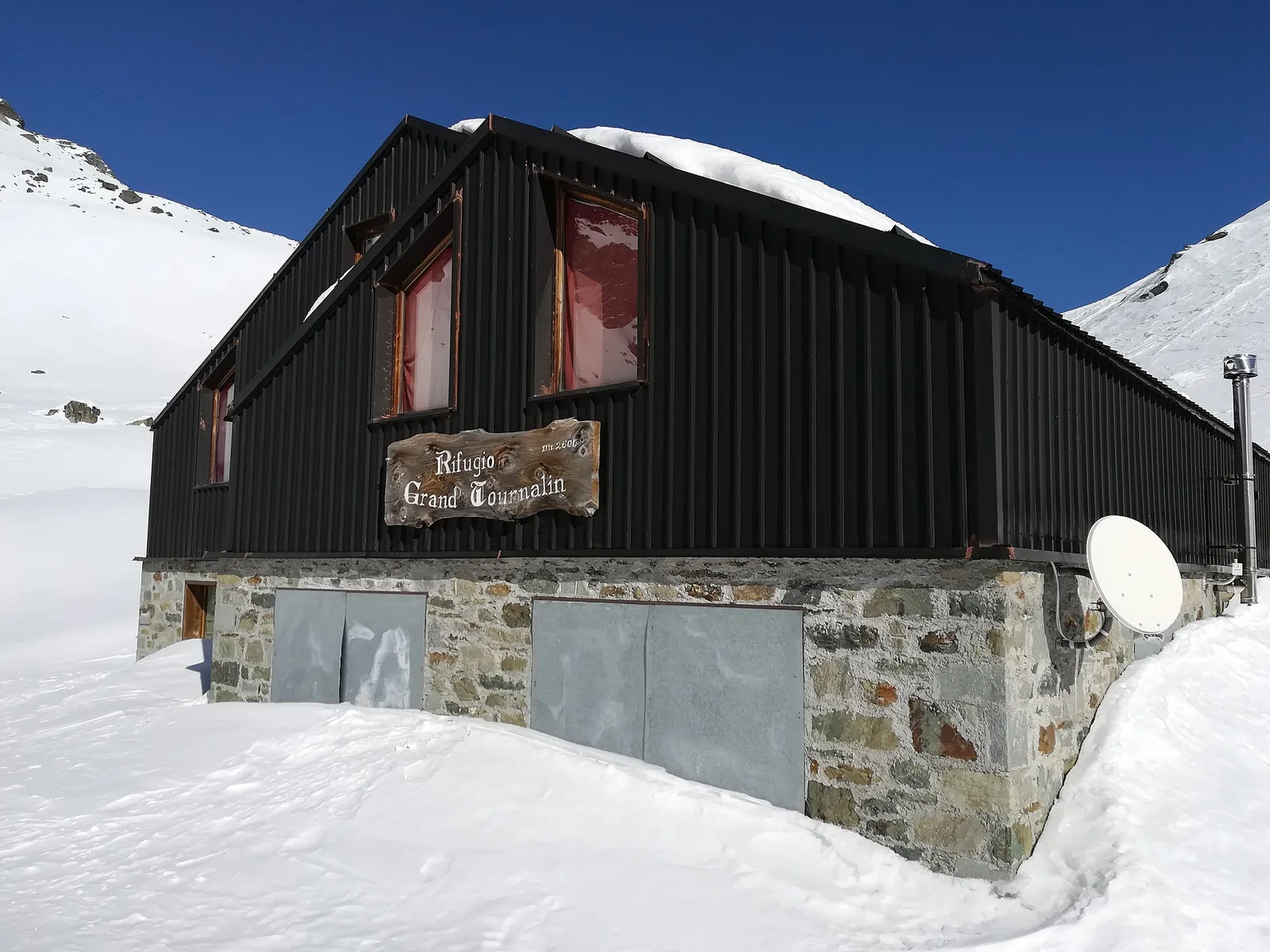
Valle centrale
2.4 km · +464 m · EE — from Rifugio Grand Tournalin to Bec de Nannaz (Central Valley).
Valle centrale
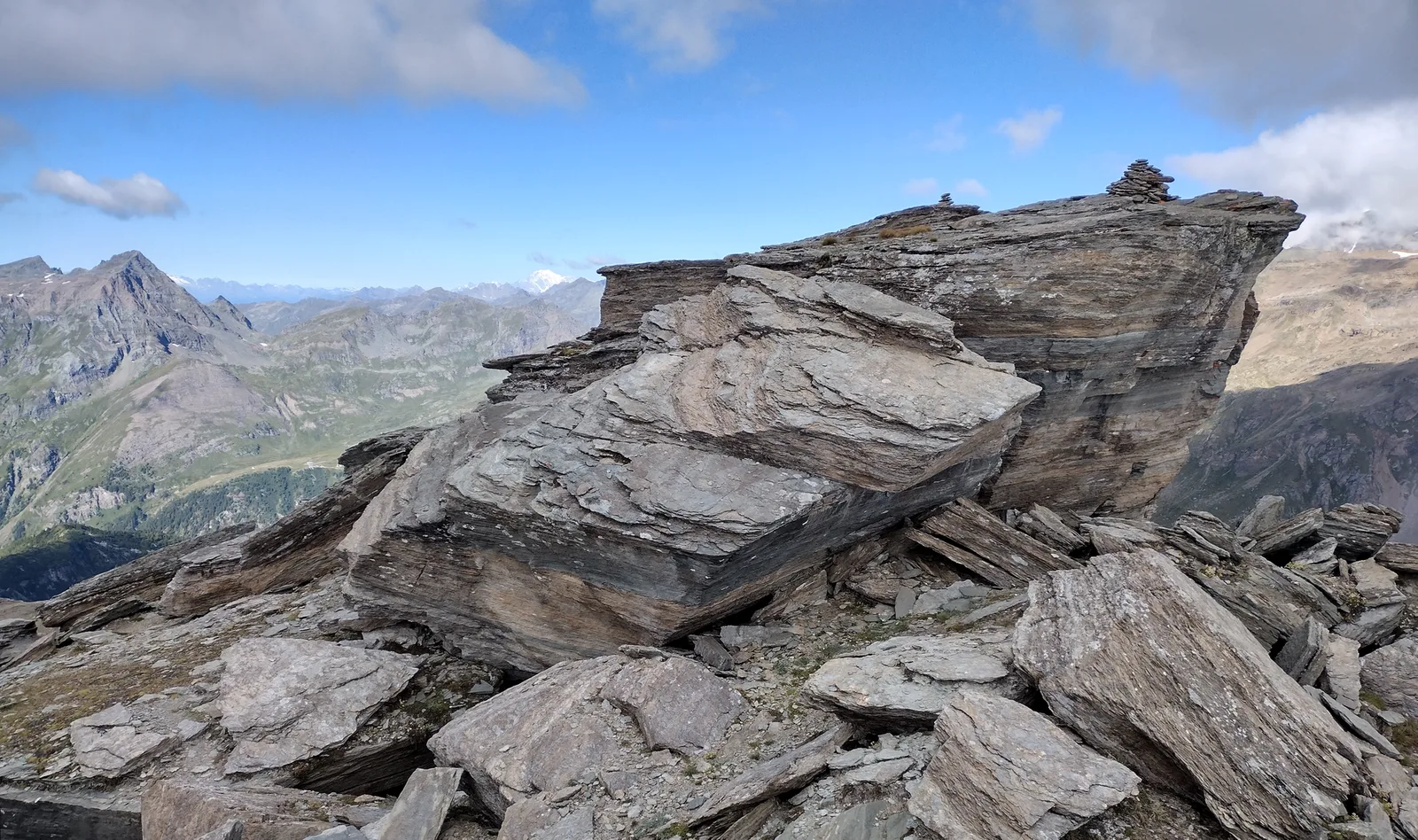
2.2 km · +485 m · EE — from Rifugio Grand Tournalin to Becca Trécare (Central Valley).
Valle centrale
2.7 km · +661 m · EE — from Rifugio Grand Tournalin to Petit Tournalin (Central Valley).

Valpelline
1.5 km · +312 m · EE — from Rifugio Oratorio di Cunéy to Becca Fontaney (Valpelline).
Valpelline
From Rifugio Prarayer (2002m) to Col di Valcorneraz (3086m): 5.8 km EE — ancient pass between Valpelline and Valtournenche in high-mountain terrain.
Valle centrale
8.5 km · +1253 m · E — from Rosière to Col Malatr� (Central Valley).
Valle centrale
From Saint-Jacques, the demanding EE route to Mont Roisetta climbs pastures, scree and high-mountain terrain in the Val d'Ayas, with views toward Monte Rosa.

Valle centrale
From Saint-Jacques (1700 m) toward the high ground of the Val d'Ayas: a route through alpine pastures with views of Monte Rosa.
Valle centrale
In the commune of Avise: an E-rated climb in a side valley toward a high-altitude lake.
Valgrisenche
13.1 km · +2282 m · E — from Strada panoramica to Mont fallère (Valgrisenche).
Valpelline
4.5 km · +1016 m · EE — from Servaz to Cima Bianca (Valpelline).
Valle del Lys
6.6 km · +1067 m · E — from Stafal to Col d'Olen (Lys Valley).
Valle del Lys
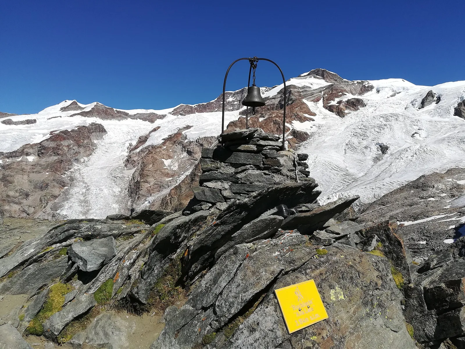
6.4 km · +1355 m · E — from Staffal to Alta Luce (Hochliecht) (Lys Valley).
Valle del Lys
6.9 km · +1063 m · E — from Staffal to Col D'Olen (Lys Valley).
Valle del Lys
4.7 km · +1088 m · E — from Staffal to Passo Inferiore della Bettolina (Lys Valley).

Valle del Lys
8.4 km · +1020 m · EE — from Staffal to Punta Telcio (Lys Valley).
Valle del Lys
8.6 km · +1731 m · EE — from Staffal to Rifugio Mantova (Lys Valley).
Valle di Champorcher
8.6 km · +1187 m · E — from Steina to Passo del Maccagno (Champorcher Valley).

Val d'Ayas
In the commune of Brusson, Val d'Ayas: an E-rated route among hamlets and pastures on the sunny slope with panoramic views.
Val d'Ayas
From the Estoul road (1,884 m) via Lago Battaglia to the Corno Boussolaz summit (3,023 m): 7.9 km EE in Val d'Ayas.
Valle del Lys
5.2 km · +1065 m · E — from S. R. Valsavarenche to Mont Blanc (Lys Valley).

Valtournenche
6.3 km · +1091 m · E — from Surrier, bivio poderali to Bivacco Ravelli (Valtournenche).
Valle del Gran San Bernardo
5.5 km · +1129 m · E — from Thumel to Col Rosset (Great St Bernard Valley).
Val d'Ayas
9.5 km · +1634 m · E — from Tignet to Col Loson (Ayas Valley).
Val d'Ayas
7.9 km · +1795 m · EE — from Toulaplana, Creton to Pointe Bioula (Ayas Valley).
Valle centrale
7.2 km · +1316 m · E — from Tourterouse to Colle Superiore delle Cime Bianche Sud (Central Valley).
Valtournenche
6.9 km · +1900 m · E — from Capoluogo to Becca di Viou (Valtournenche).
Valle centrale
8.4 km · +1360 m · EE — from Vetan to Mont Fallère (Central Valley).
Valle centrale
7.2 km · +1020 m · E — from Veulla to Col du Lac Blanc (Central Valley).
Valgrisenche
10.1 km · +1856 m · E — from Ville-Sur-Sarre to Mont-Fallère (Valgrisenche).

Valle di Champorcher
7.1 km · +1699 m · EE — from Zer Schmettò to Bivacco Lateltin (Champorcher Valley).