E
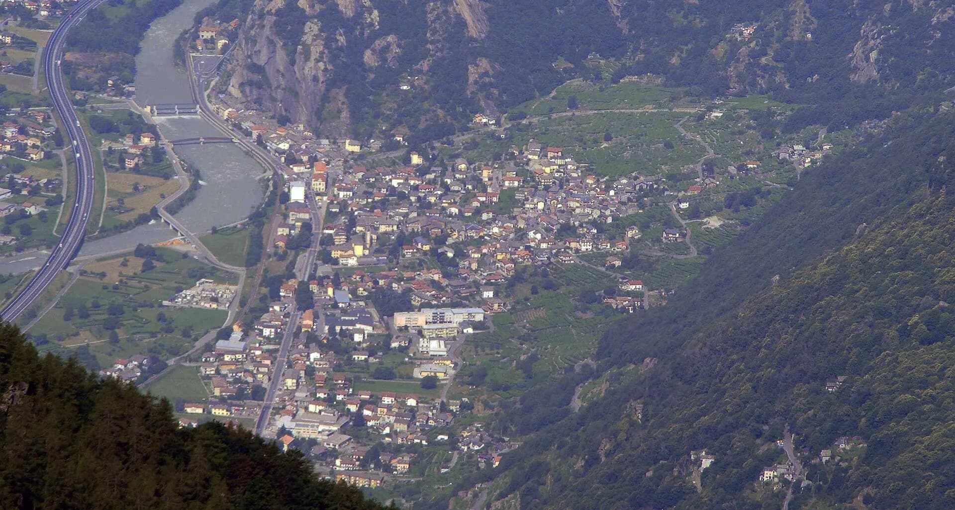
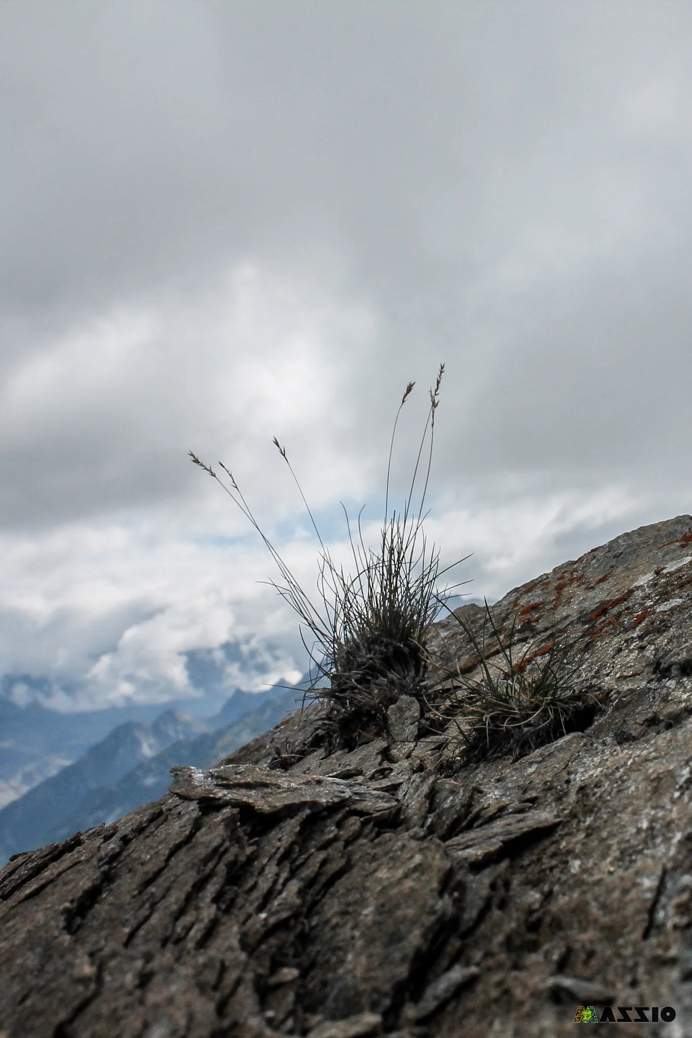
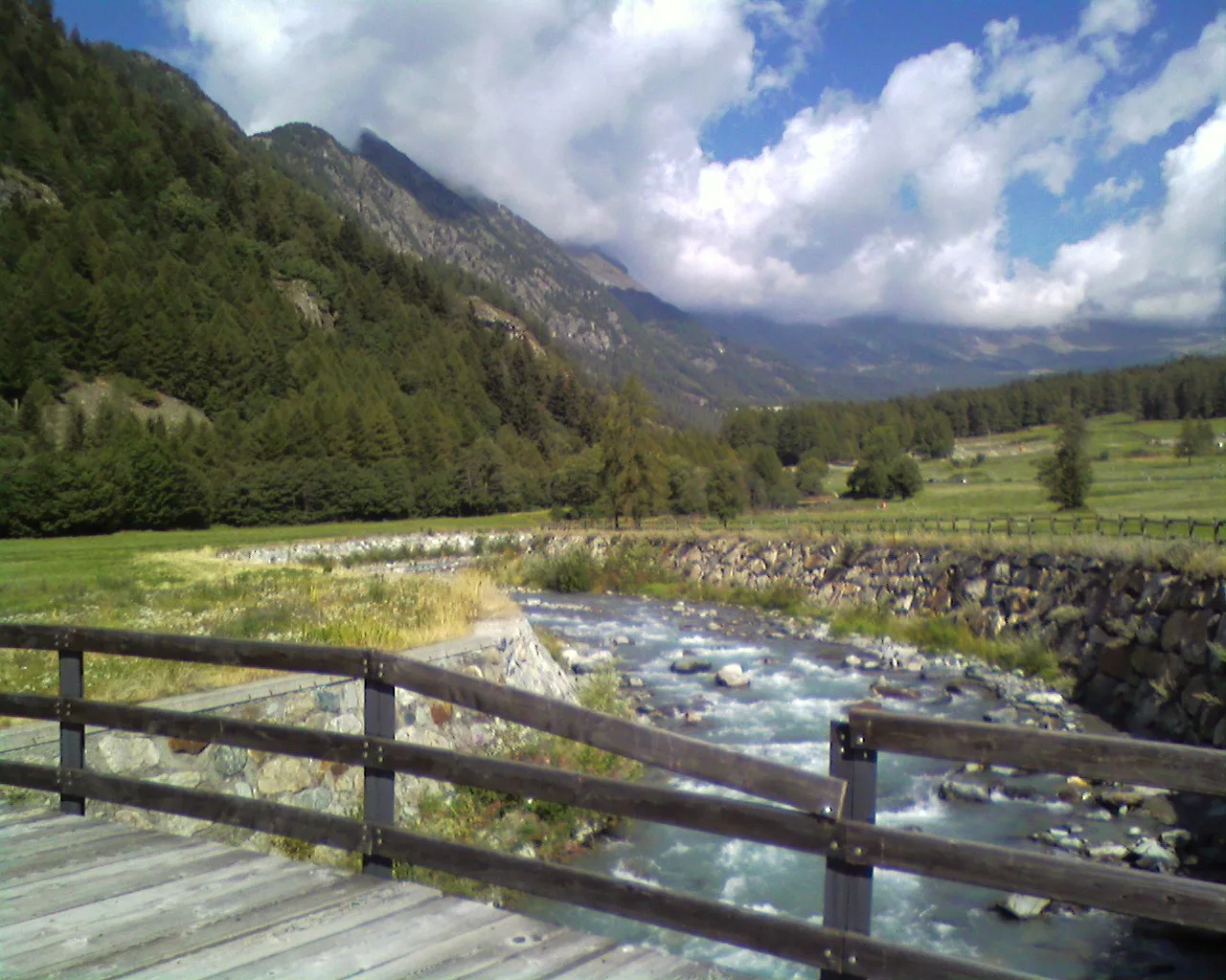
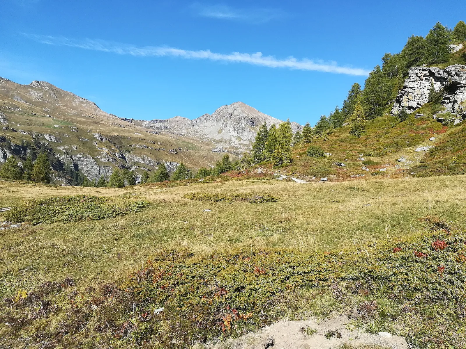
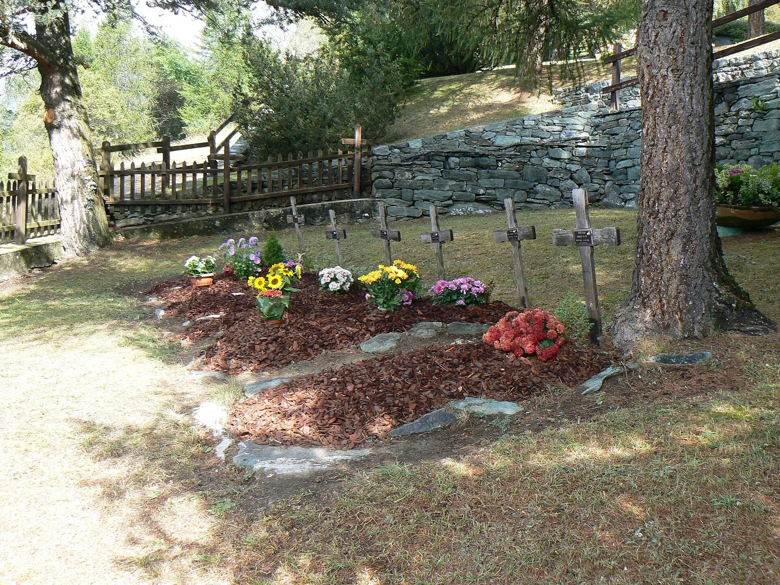
Bassa Valle
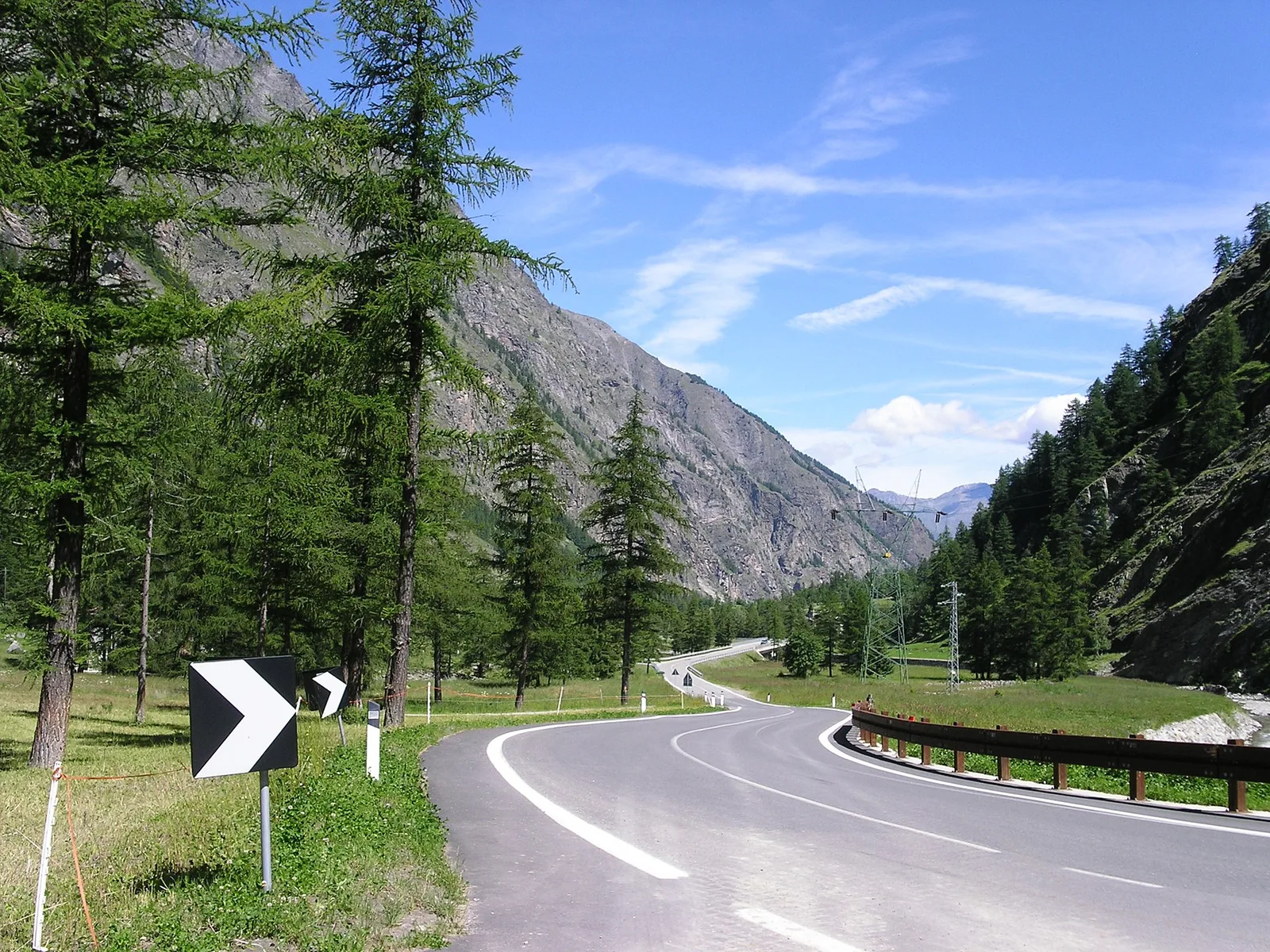
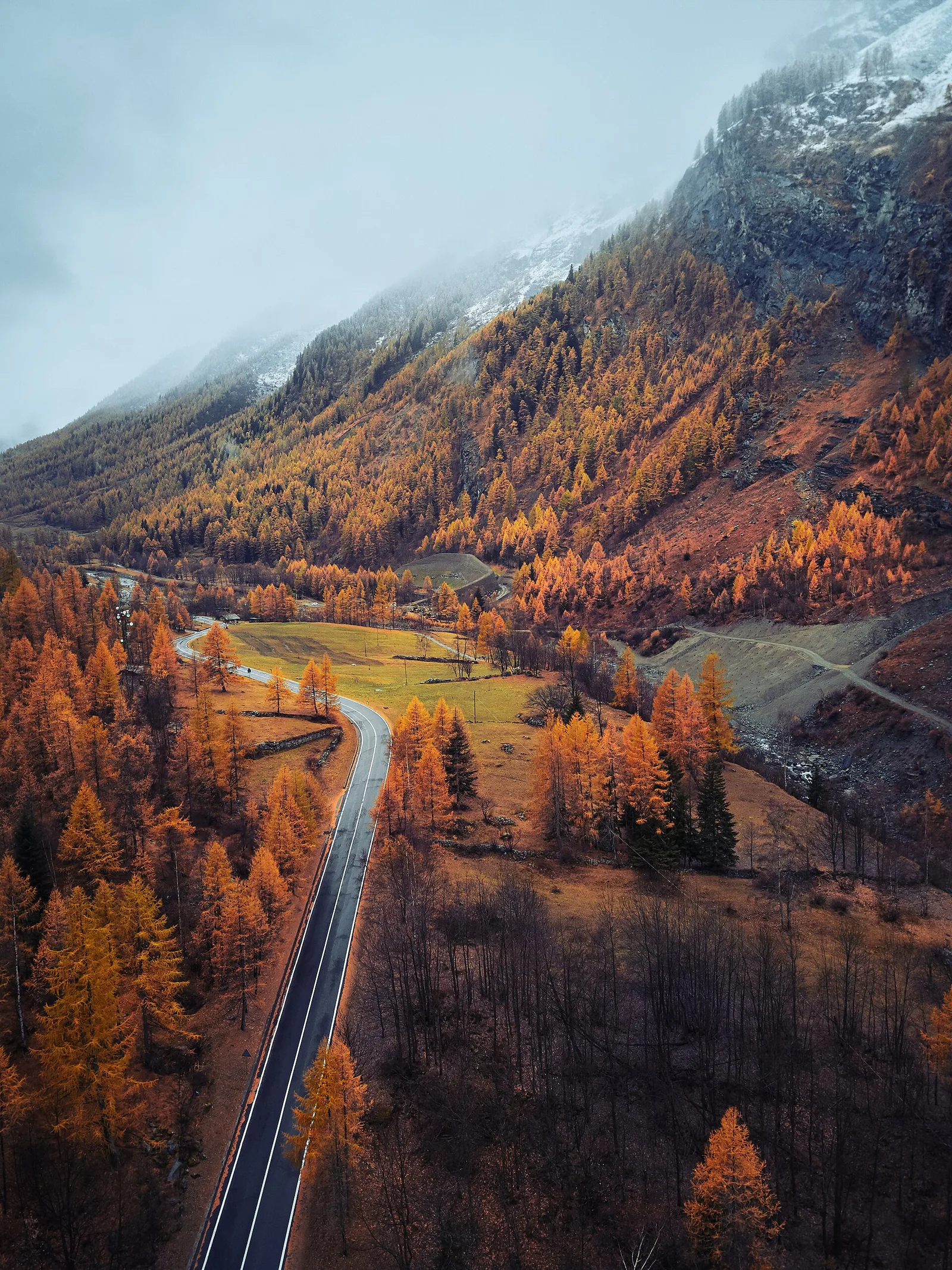
High Route 1 — Stage 1: Donnas → Perloz
The start of the High Route of the Giants, from the valley floor up to Perloz meadows through Walser villages and chestnut groves.
12.5 km+950 m5 h
Trails and culture
81 trails linked to Valdostan Carnival — traditions and flavours along the route: difficulty T–EEA, elevation gain 0–1795 m.
81 · 1.1–17.2 km · +0–1795 m
Bassa Valle
The start of the High Route of the Giants, from the valley floor up to Perloz meadows through Walser villages and chestnut groves.
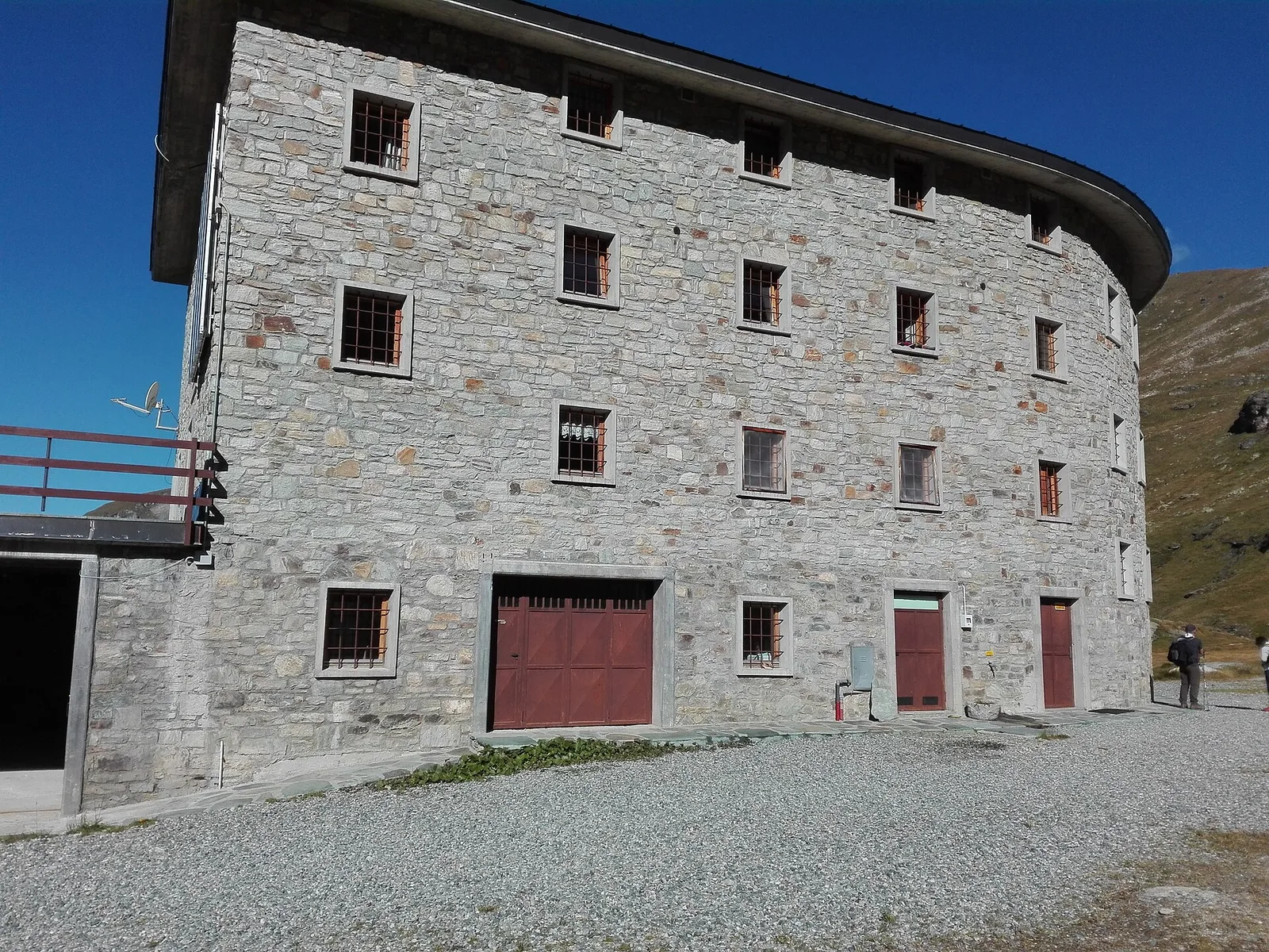
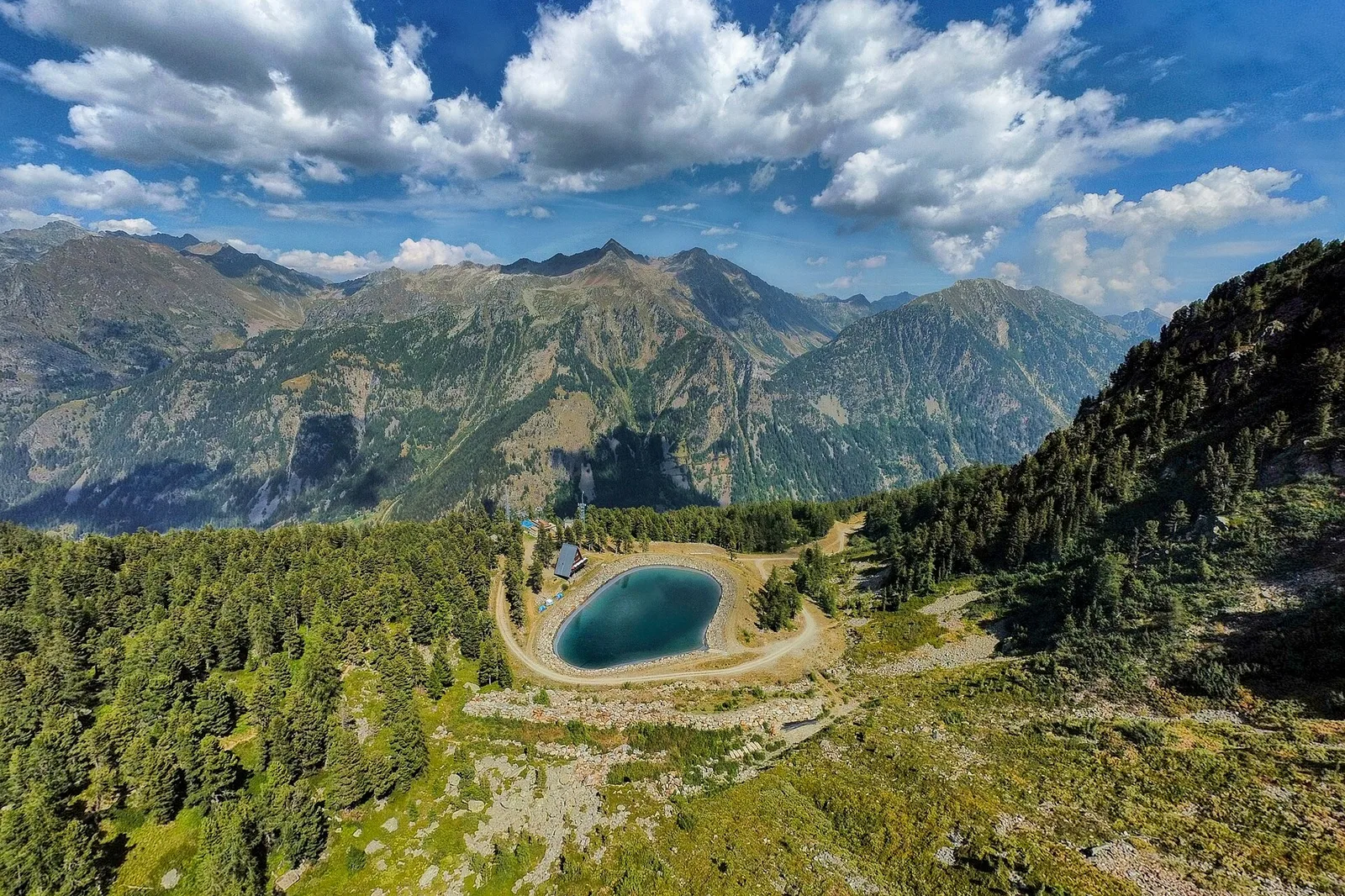
Valle di Gressoney — Valle d'Ayas
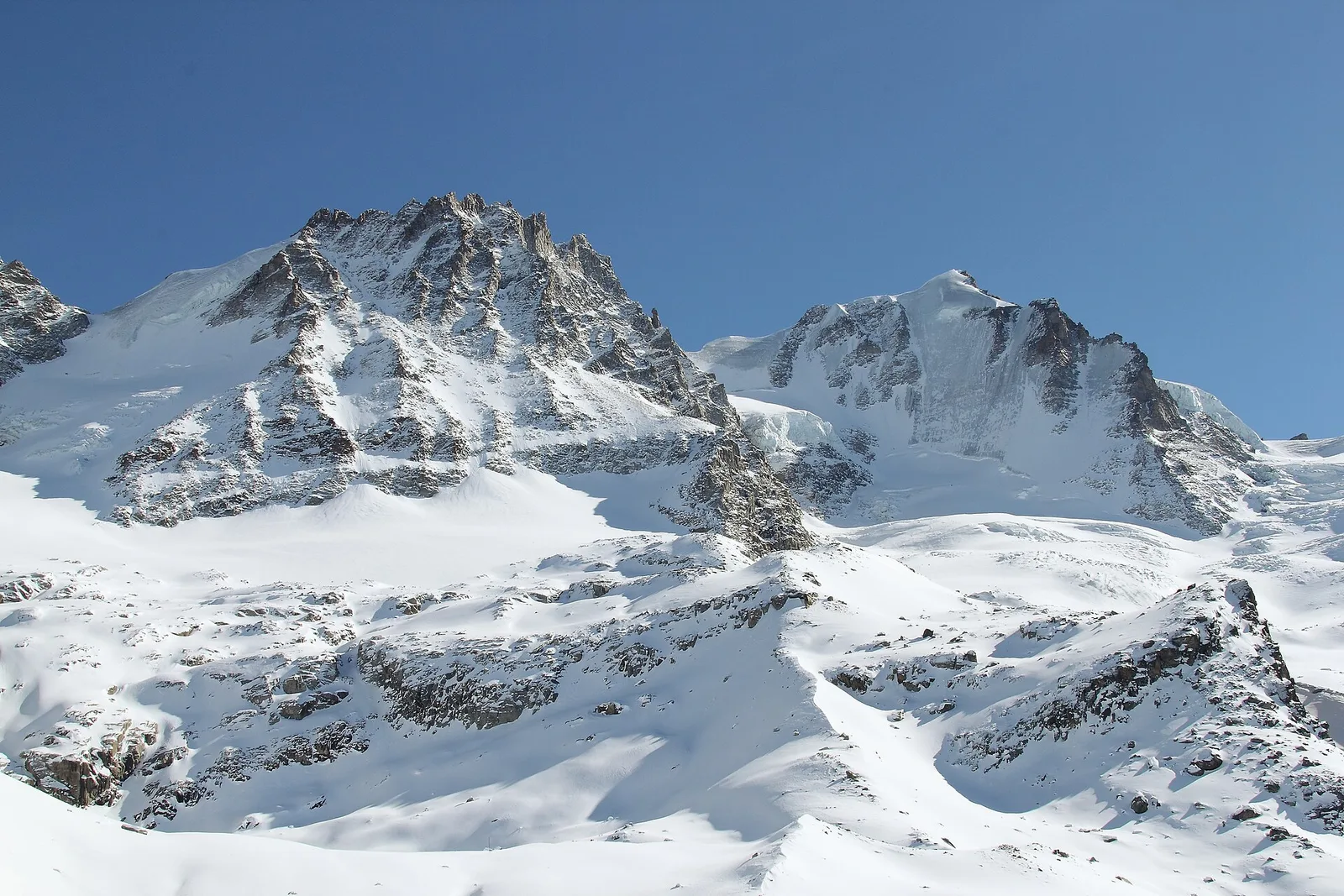
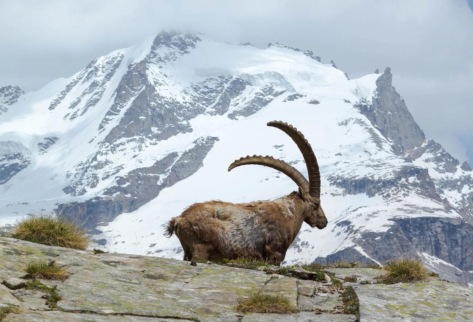
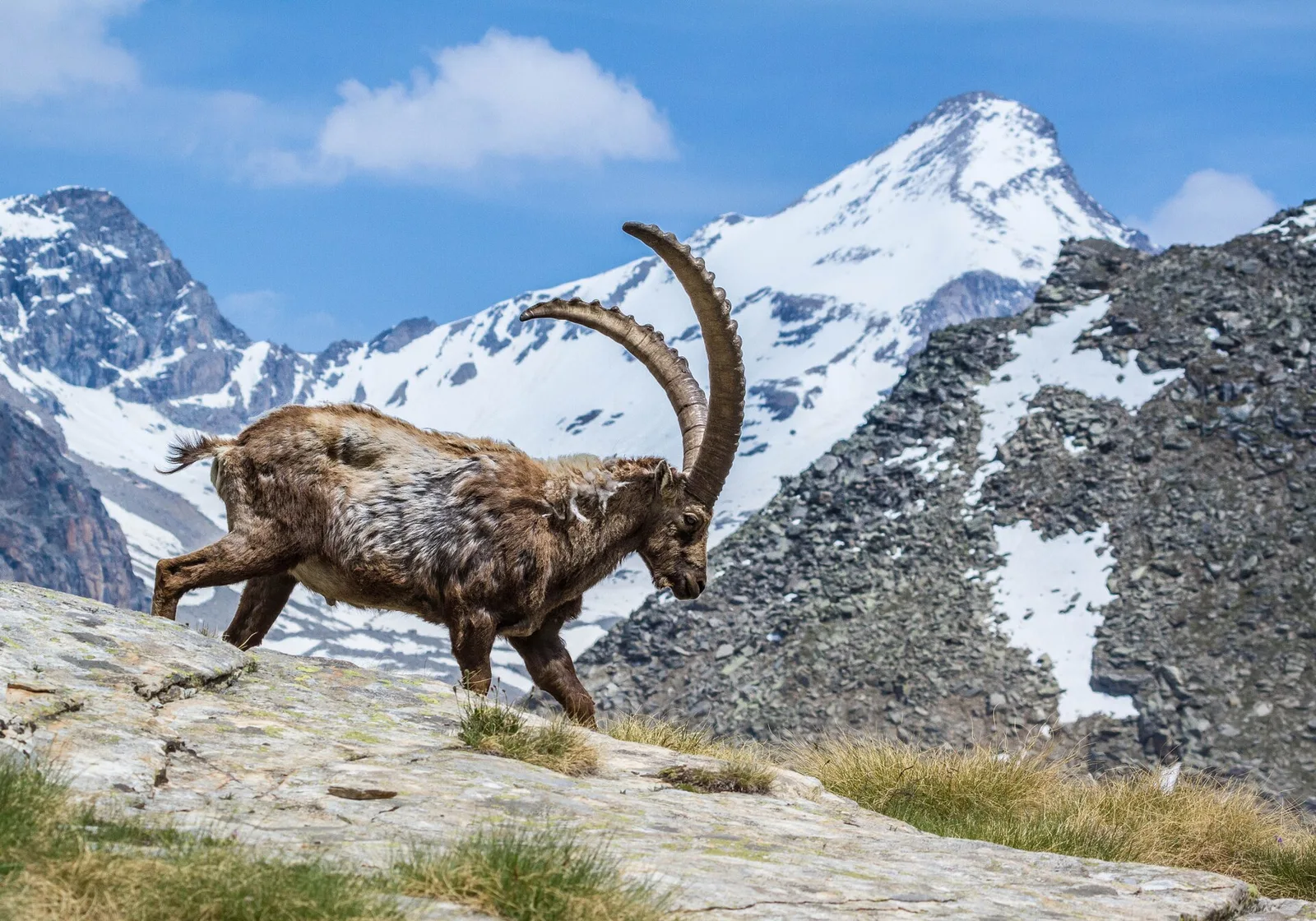
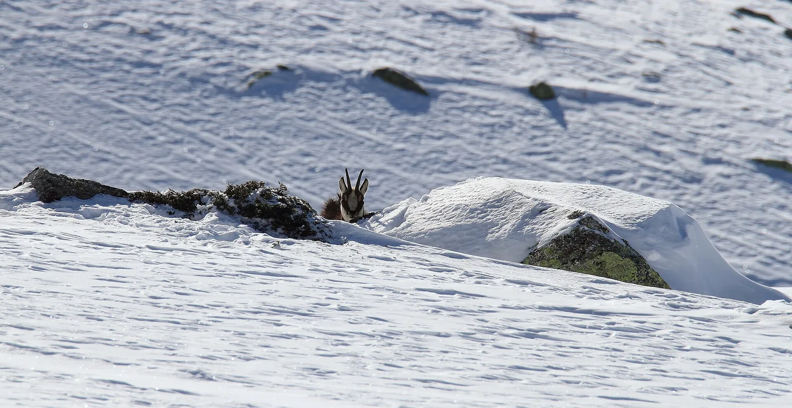
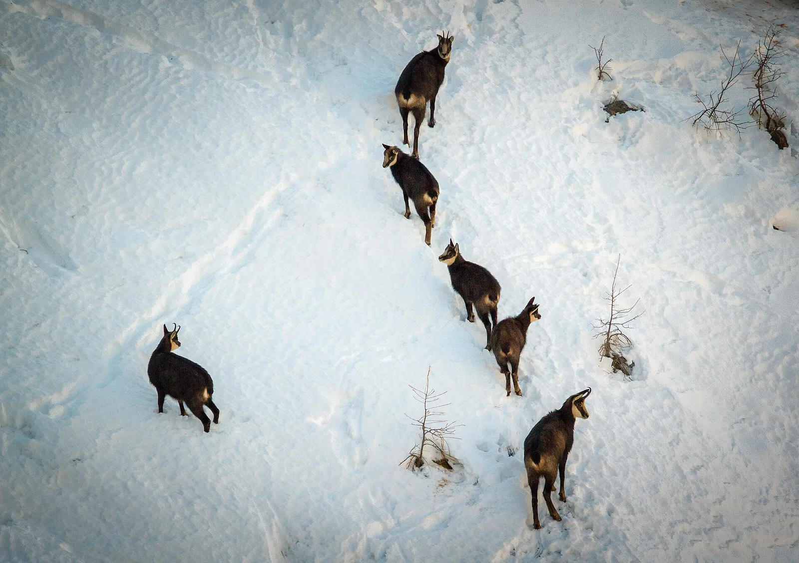
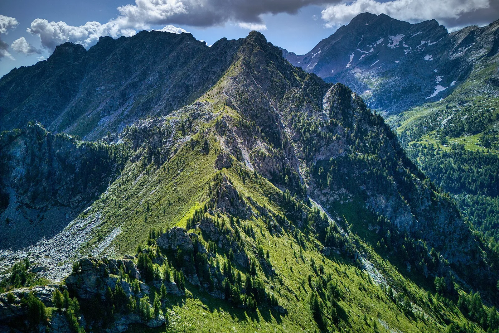
Crossing Col Pinter at 2777 m is the highlight of this stage: a wild pass between two alpine valleys where Monte Rosa dominates the entire eastern horizon.
Valle d'Ayas
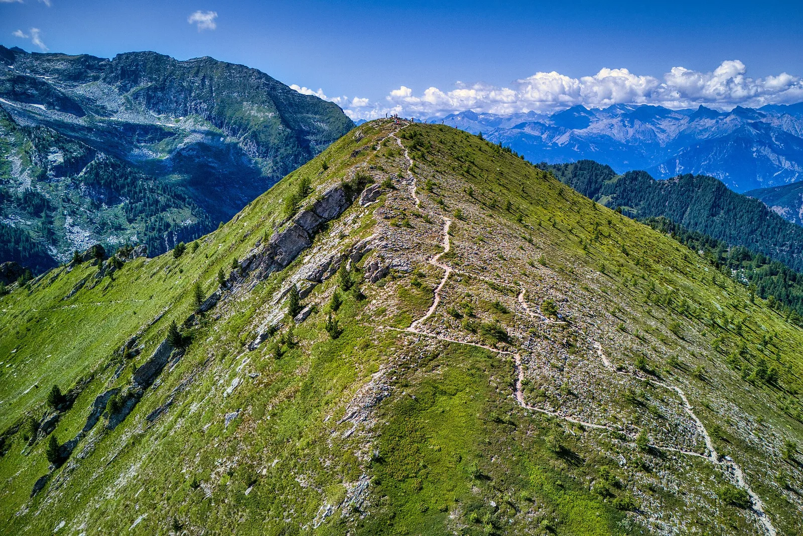
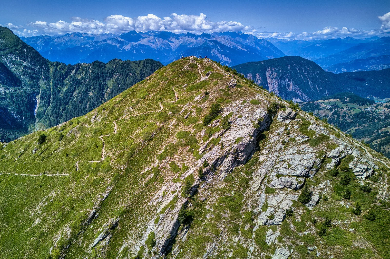
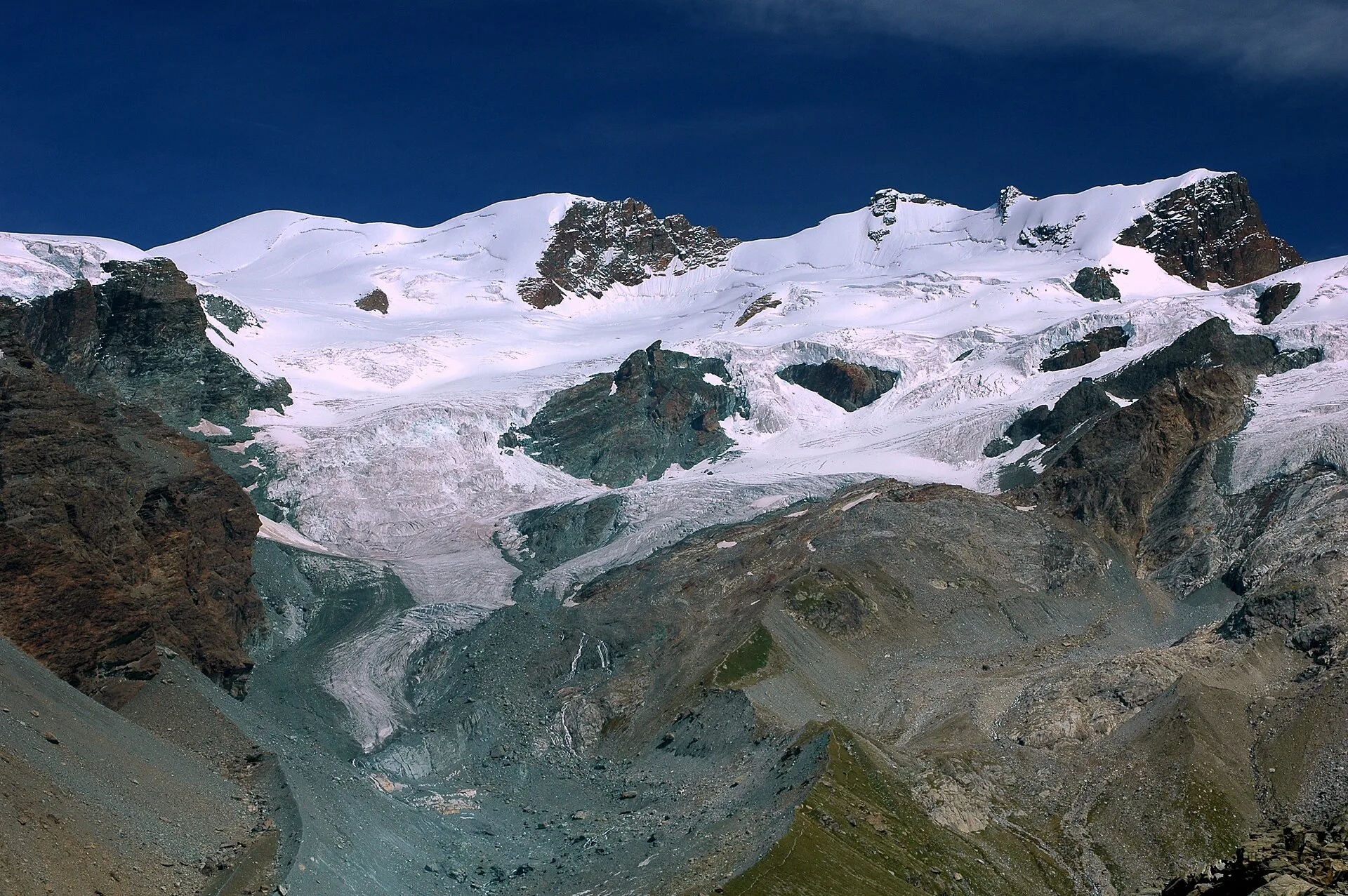
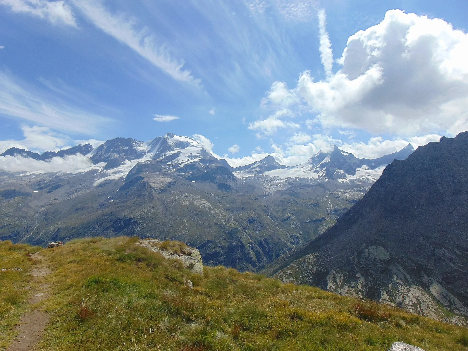
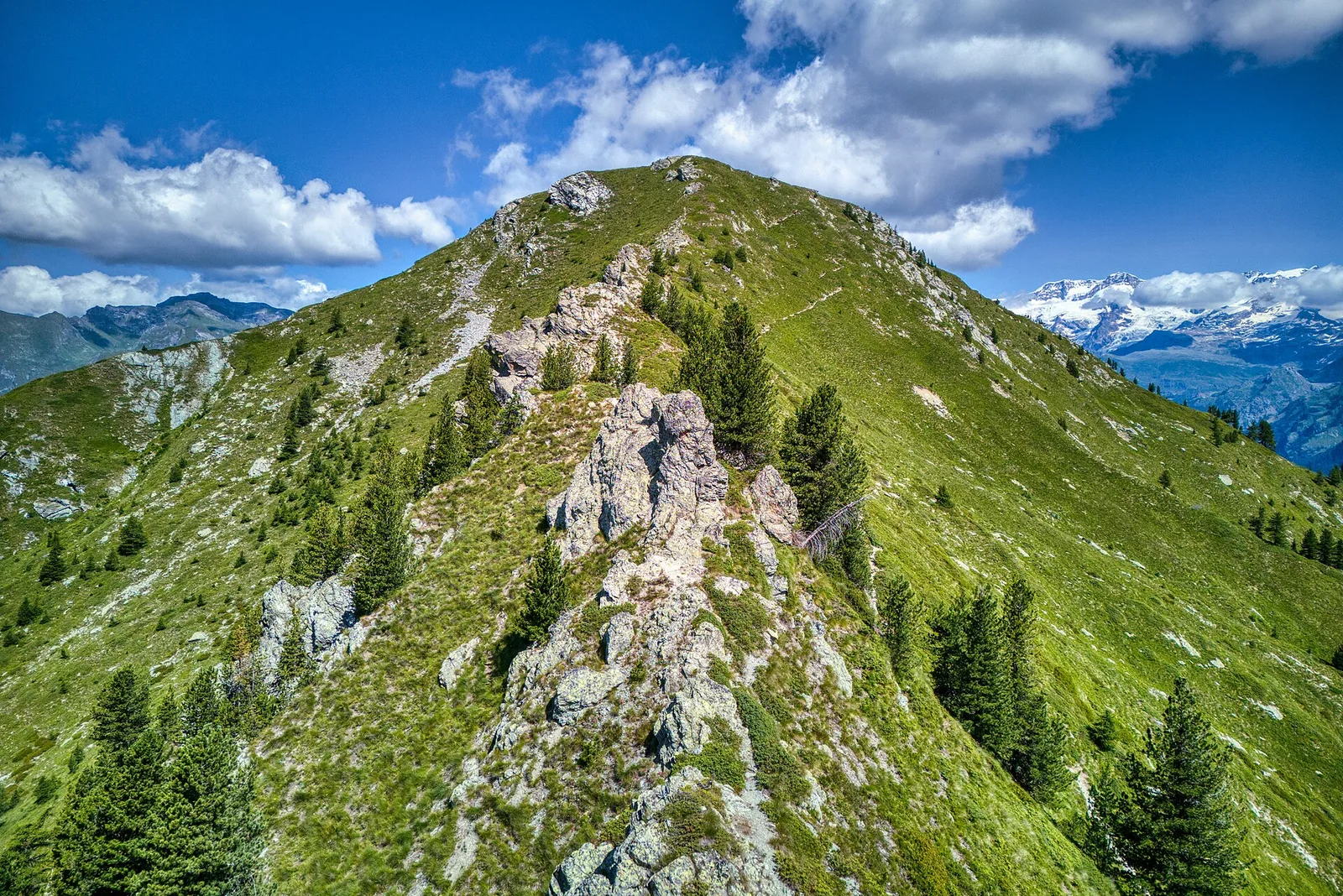
From the ridges above Champoluc to Rifugio Grand Tournalin with the Matterhorn always in view: high-mountain terrain with sweeping panoramas over the Ayas valley and its pastoral landscape.
Valtournenche
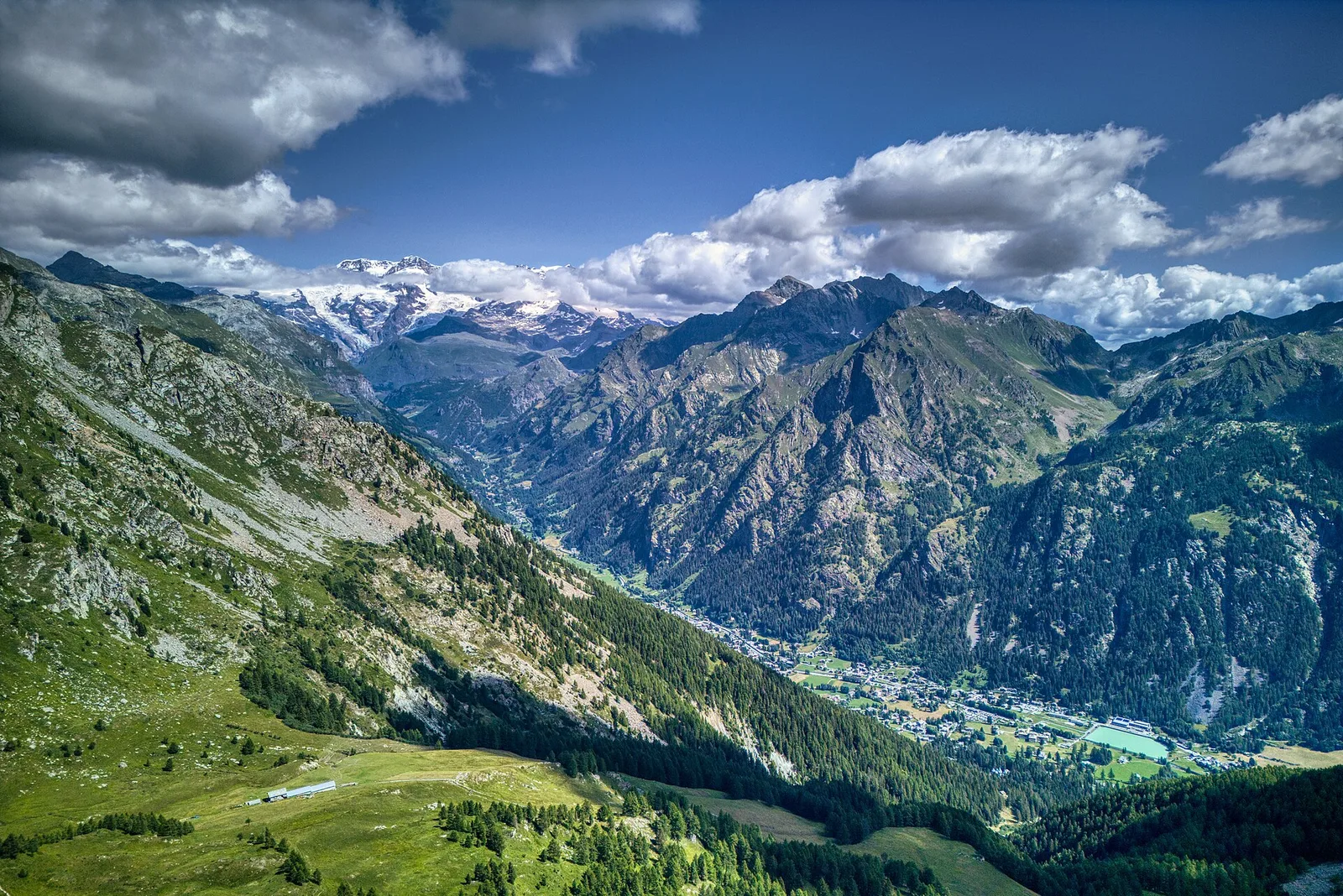
The great descent: from Rifugio Grand Tournalin losing over a thousand metres to the valley floor of Valtournenche, passing through the scenic plateau of Cheneil with Matterhorn views.
Val d'Ayas
1.6 km · +137 m · E — from Arbaz to Miniera di Bechaz (Ayas Valley).

Val d'Ayas
1.9 km · +78 m · E — from Arbaz to Mont d'Arbaz (Ayas Valley).
Val d'Ayas
3.8 km · +608 m · E — from Arbaz to Tete de Comagne (Ayas Valley).
Val d'Ayas
An easy T-rated stroll from Arcésaz to Brusson along irrigation canals and mid-slope paths in the Val d'Ayas: 3.6 km, no difficulty, suitable for families and all levels.
Valle del Lys
3.1 km · +0 m · E — from Arpisson to Ponteille (Lys Valley).
Val d'Ayas
In the commune of Brusson, Val d'Ayas: an accessible route among pastures and hamlets with panoramic views.
Val d'Ayas
Upper Val d'Ayas, Brusson: a route toward a panoramic objective over open terrain.
Valle del Lys
7 km · +1299 m · E — from Chenaux to Arpisson (Lys Valley).

Valle del Lys
6.7 km · +1328 m · E — from Chenière to Arpisson (Lys Valley).
Valle del Lys
1.5 km · +89 m · T — from Chenière to Moulin (Lys Valley).
Val d'Ayas
2.5 km · +549 m · E — from Degioz to Bocconère (Ayas Valley).
Val d'Ayas
5.9 km · +637 m · E — from Degioz to Orvieille (Pavillon royal de chasse) (Ayas Valley).
Val d'Ayas
12.4 km · +1644 m · E — from Eaux-Rousses to Col Loson (Ayas Valley).
Val d'Ayas
10.2 km · +1325 m · E — from Eaux-Rousses to Col de l'Entrelor (Ayas Valley).
Val d'Ayas
7.3 km · +805 m · E — from Estoul to Lago Lungo (Ayas Valley).
Val d'Ayas
5.1 km · +233 m · T — from Fenille to Degioz (Ayas Valley).
Val d'Ayas
5.2 km · +966 m · E — from Fenille to Colle Becca Plana (Ayas Valley).
Val d'Ayas
2 km · +441 m · T — from Pasquier to La Croix (Ayas Valley).

Val d'Ayas
2.8 km · +497 m · T — from Pasquier to La Croix (Ayas Valley).
Val d'Ayas
In the commune of Brusson, Val d'Ayas: an E-rated route among hamlets and pastures with characteristic valley views.
Val d'Ayas
From the medieval castle ruins at Graines (1,398 m) to the Col de Frudière (2,266 m) in Val d'Ayas: 7.7 km blending history and open alpine landscape.
Val d'Ayas
Upper Val d'Ayas, Brusson: a route through high-altitude meadows and rock.

Val d'Ayas
Upper Val d'Ayas, Brusson: a route through high-altitude meadows and rock.
Val d'Ayas
2.3 km · +271 m · E — from Lacs Djouan to Col Manteau (Ayas Valley).
Val d'Ayas
6 km · +975 m · EEA — from Levionaz to Passage du Grand Neyron (Ayas Valley).
Valle del Lys
3.2 km · +339 m · E — from Marchaucy to Ponteille (Lys Valley).
Val d'Ayas
3 km · +259 m · E — from Mayn to Curien (Ayas Valley).

Valle del Lys
2 km · +461 m · E — from Moulin to Gorettaz (Lys Valley).

Val d'Ayas
3 km · +493 m · E — from Orbeillaz to Col Tzecore (Ayas Valley).
Val d'Ayas
2.3 km · +160 m · E — from Orbeillaz to Pian Abelly (Ayas Valley).

Val d'Ayas
3.1 km · +425 m · E — from Paysan to Miniere di Bechaz (Ayas Valley).
Val d'Ayas
2.3 km · +307 m · E — from Capoluogo to Salomon (Ayas Valley).
Val d'Ayas
1.2 km · +160 m · E — from Pilaz to Fontaines de Goillaz (Ayas Valley).

Valle del Lys
6.9 km · +1393 m · E — from municipio Pollein to Arpisson (Lys Valley).
Valle del Lys
1.8 km · +429 m · E — from municipio Pollein to Chenoz (Lys Valley).
Val d'Ayas
3.1 km · +839 m · E — from Pont to Col du Grand- Collet (Ayas Valley).
Val d'Ayas
9 km · +643 m · E — from Pont to Col du Nivolet (Ayas Valley).

Val d'Ayas
6.3 km · +873 m · E — from Pont to Col du Grand- Collet (Ayas Valley).
Val d'Ayas
4.4 km · +695 m · E — from Pont to Ghiacciaio del Grand-Etret (Ayas Valley).
Val d'Ayas
3.6 km · +327 m · E — from Pont to Meyes desot (Ayas Valley).
Val d'Ayas
3.7 km · +471 m · E — from Pont to Montcorvé (Ayas Valley).
Val d'Ayas
4.4 km · +718 m · E — from Pont to Plan Borgnoz (Ayas Valley).
Val d'Ayas
1.1 km · +36 m · T — from Parcheggio Pont to Rifugio Tétras Lyre (Ayas Valley).
Val d'Ayas
5 km · +775 m · E — from Pont to Rifugio Vittorio Emanuele II (Ayas Valley).
Val d'Ayas
6.4 km · +1593 m · EE — from Pont de Messuere to Corno Boussolaz (Ayas Valley).
Val d'Ayas
7.9 km · +969 m · E — from Pont du Grand Clapey to Plan Borgnoz (Ayas Valley).
Val d'Ayas
6 km · +1072 m · E — from Pont du Grand Clapey to Col Manteau (Ayas Valley).
Val d'Ayas
4.9 km · +983 m · E — from Praviou to Rifugio Chabod (Ayas Valley).
Val d'Ayas
5.8 km · +881 m · E — from Praviou to Rifugio Chabod (Ayas Valley).

Val d'Ayas
2.6 km · +308 m · E — from Quinçod to Alésaz (Ayas Valley).

Val d'Ayas
8.9 km · +1708 m · EE — from Quinçod to Colle Chasten (Ayas Valley).

Val d'Ayas
4.7 km · +742 m · E — from Quinçod to Leuriaz (Ayas Valley).

Val d'Ayas
8.6 km · +1708 m · EE — from Quinçod to Colle Chasten (Ayas Valley).

Val d'Ayas
6.6 km · +1335 m · E — from Quinçod to Merendiou (Ayas Valley).

Val d'Ayas
5.4 km · +230 m · E — from Refuge Savoie to Plan Borgnoz (Ayas Valley).

Val d'Ayas
2.4 km · +434 m · E — from Rifugio Arp to Col de Valfredda (Ayas Valley).

Val d'Ayas
2.6 km · +518 m · EE — from Rifugio Arp to Punta Valfredda (Ayas Valley).
Val d'Ayas
3.5 km · +545 m · EE — from Rifugio Chabod to Passage du Grand Neyron (Ayas Valley).
Val d'Ayas
2.2 km · +375 m · E — from Rovenaud to Maisoncle (Ayas Valley).
Val d'Ayas
1.4 km · +0 m · E — from Paysan to Casa fine poderale 29 (Ayas Valley).
Val d'Ayas
2.3 km · +283 m · E — from Sizan to Sant'Anna (Ayas Valley).
Val d'Ayas
In the commune of Brusson, Val d'Ayas: an accessible itinerary between hamlets and forest on the sunny slope.

Val d'Ayas
In the commune of Brusson, Val d'Ayas: an E-rated route among hamlets and pastures on the sunny slope with panoramic views.
Val d'Ayas
In the commune of Brusson, Val d'Ayas: a route among hamlets and alpine pastures on the sunny slope with valley views.

Val d'Ayas
From the Estoul road (1,884 m) via Lago Battaglia to the Corno Boussolaz summit (3,023 m): 7.9 km EE in Val d'Ayas.

Val d'Ayas
In the commune of Brusson, Val d'Ayas: an accessible itinerary among hamlets and pastures on the sunny slope.
Val d'Ayas
In the commune of Brusson, Val d'Ayas: a mid-altitude route between hamlets and wooded areas of the slope.

Val d'Ayas
In the commune of Brusson, Val d'Ayas: an accessible itinerary between hamlets and forest on the sunny slope.

Val d'Ayas
2 km · +370 m · E — from Strada Regionale to Arbaz (Ayas Valley).
Valle del Gran San Bernardo
15.8 km · +0 m · EE — from Capoluogo to Eaux Rousses (Great St Bernard Valley).
Val d'Ayas
17.2 km · +1676 m · EE — from Eaux Rousses to Rifugio Sella (Ayas Valley).
Val d'Ayas
9.5 km · +1634 m · E — from Tignet to Col Loson (Ayas Valley).

Val d'Ayas
3.2 km · +288 m · E — from Tilly to Mayn (Ayas Valley).
Val d'Ayas
7.9 km · +1795 m · EE — from Toulaplana, Creton to Pointe Bioula (Ayas Valley).
Val d'Ayas
5.6 km · +447 m · E — from Rifugio Chabod to Rifugio Vittorio Emanuele II (Ayas Valley).
Val d'Ayas
1.5 km · +331 m · E — from Vollon (Brusson) to Salomon (Ayas Valley).
Valle di Champorcher
3.5 km · +533 m · E — from Weissmatten to Passo Frudière (Champorcher Valley).