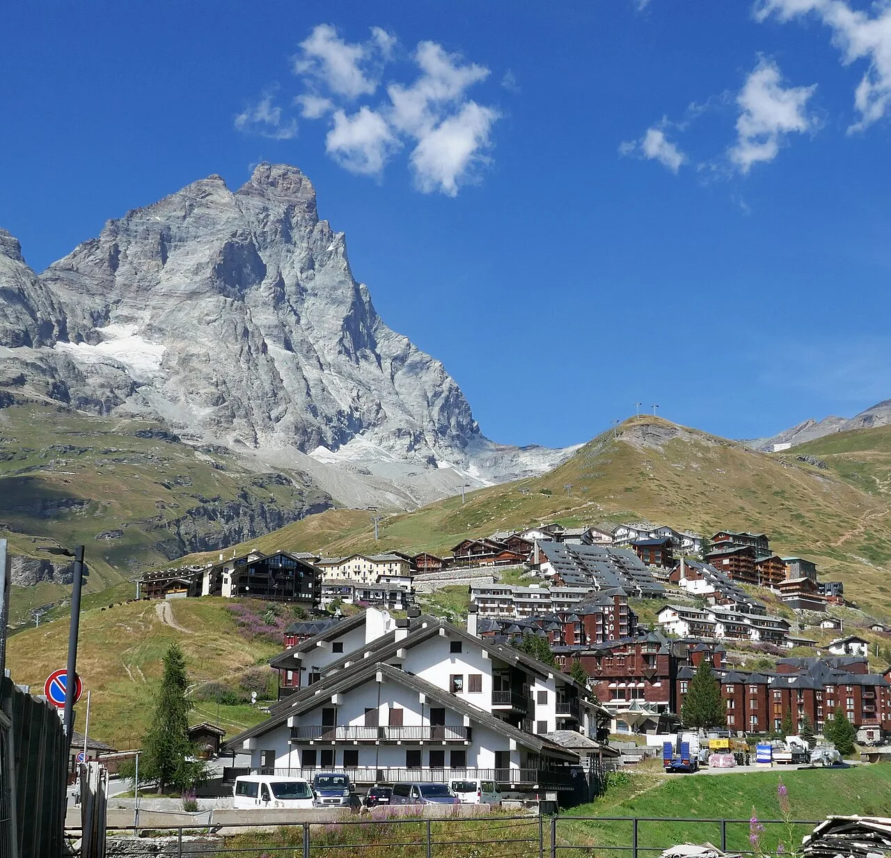
E
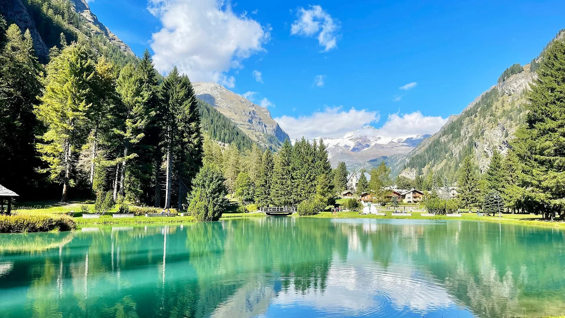
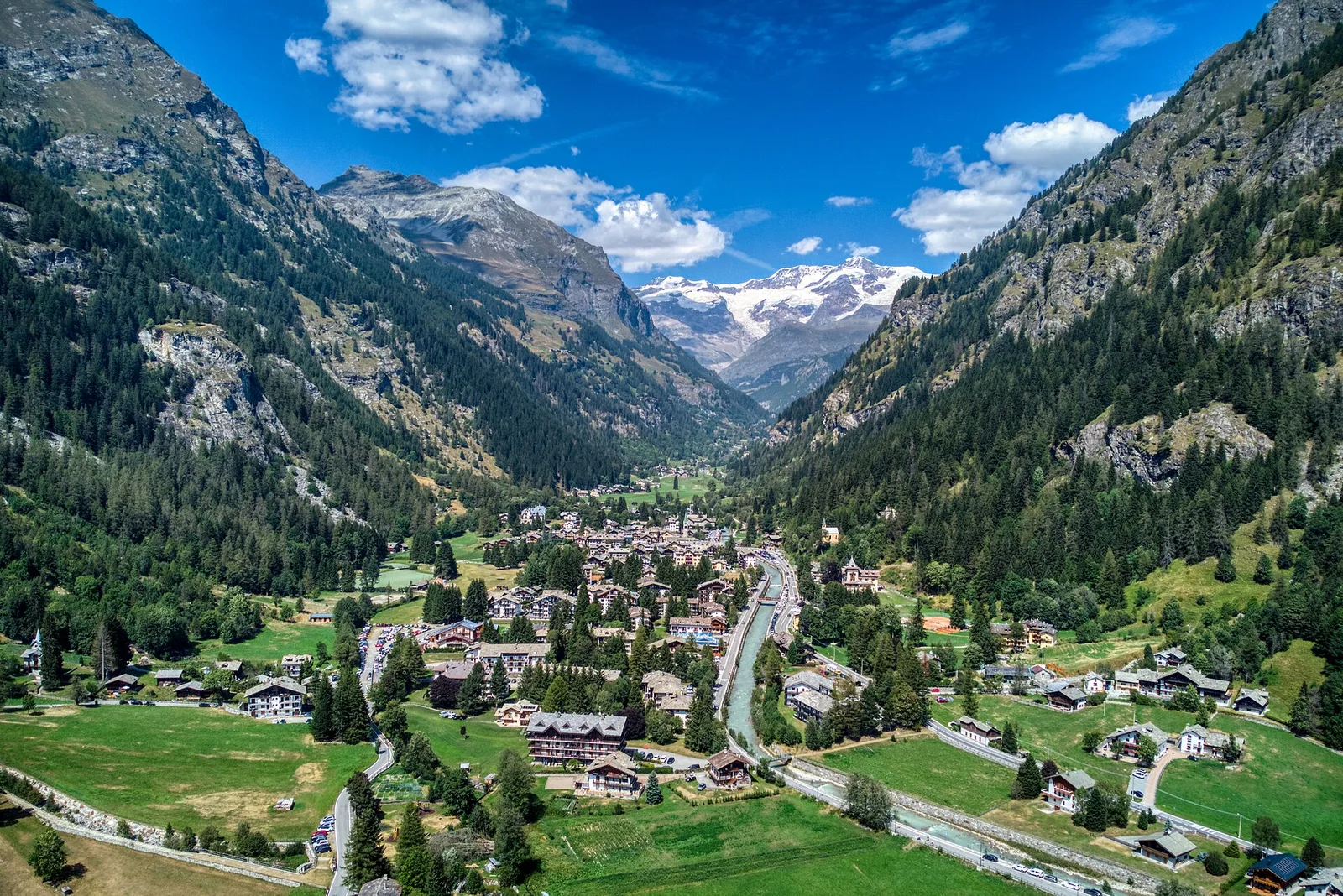
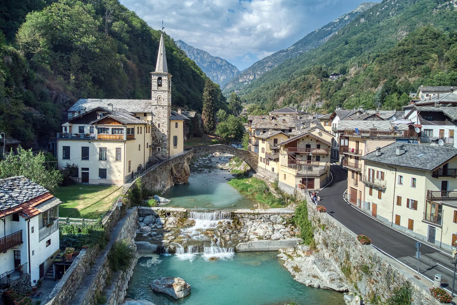
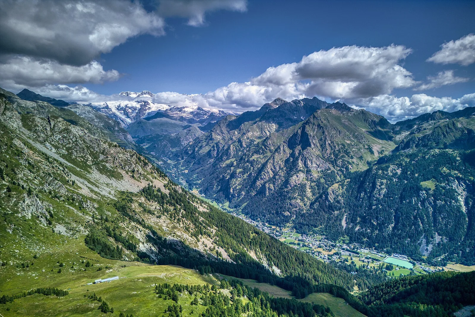
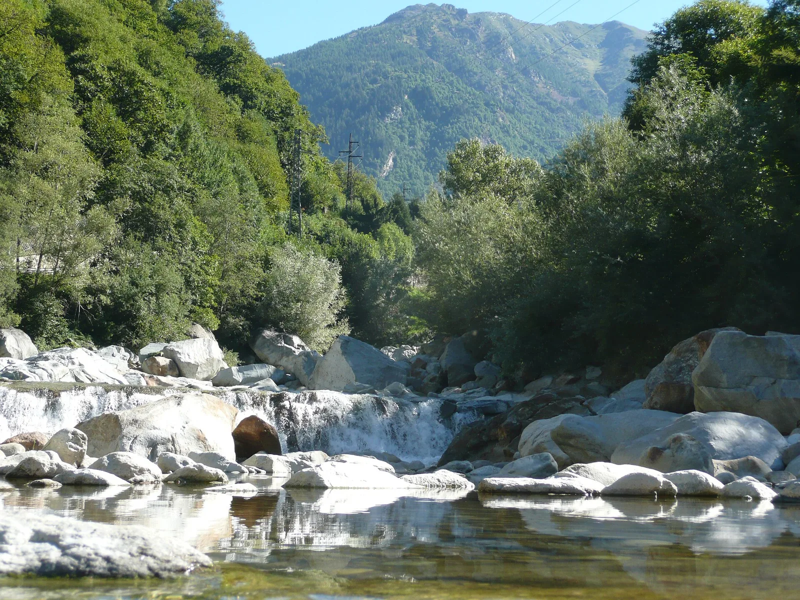
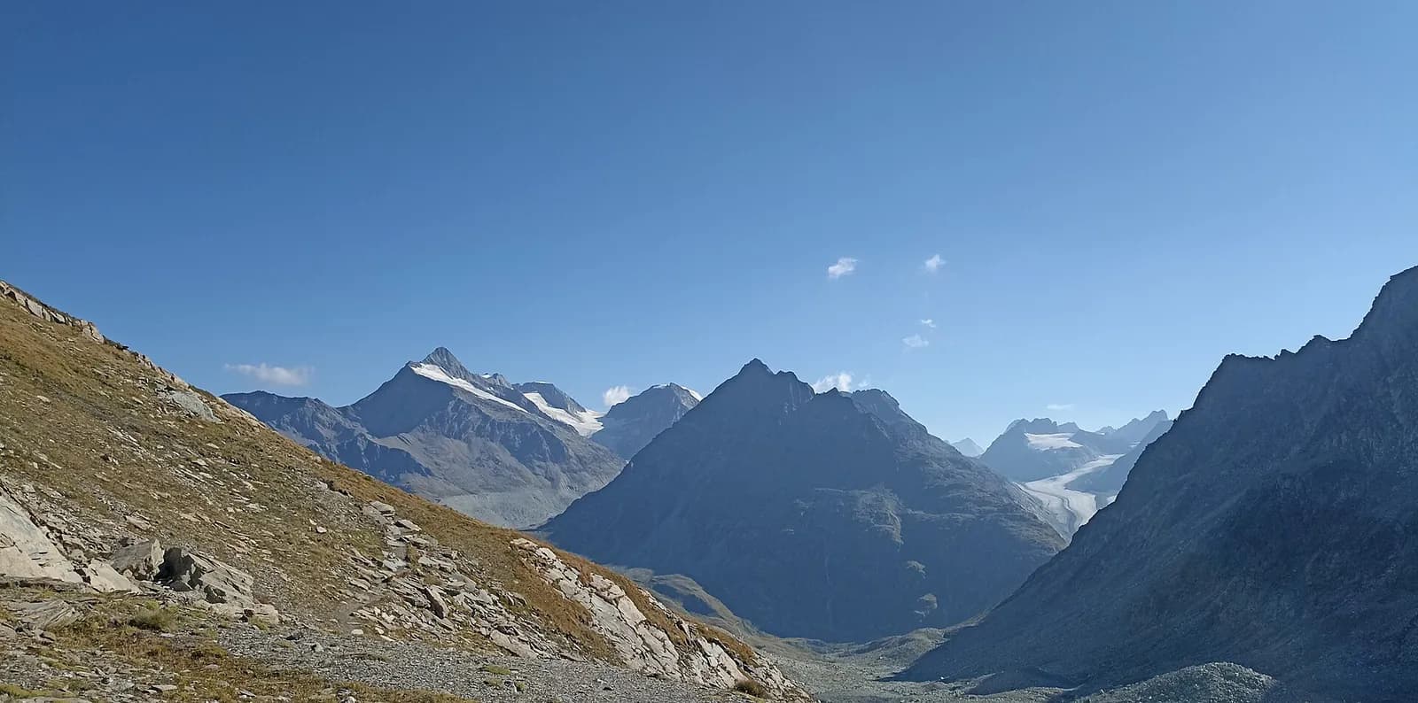
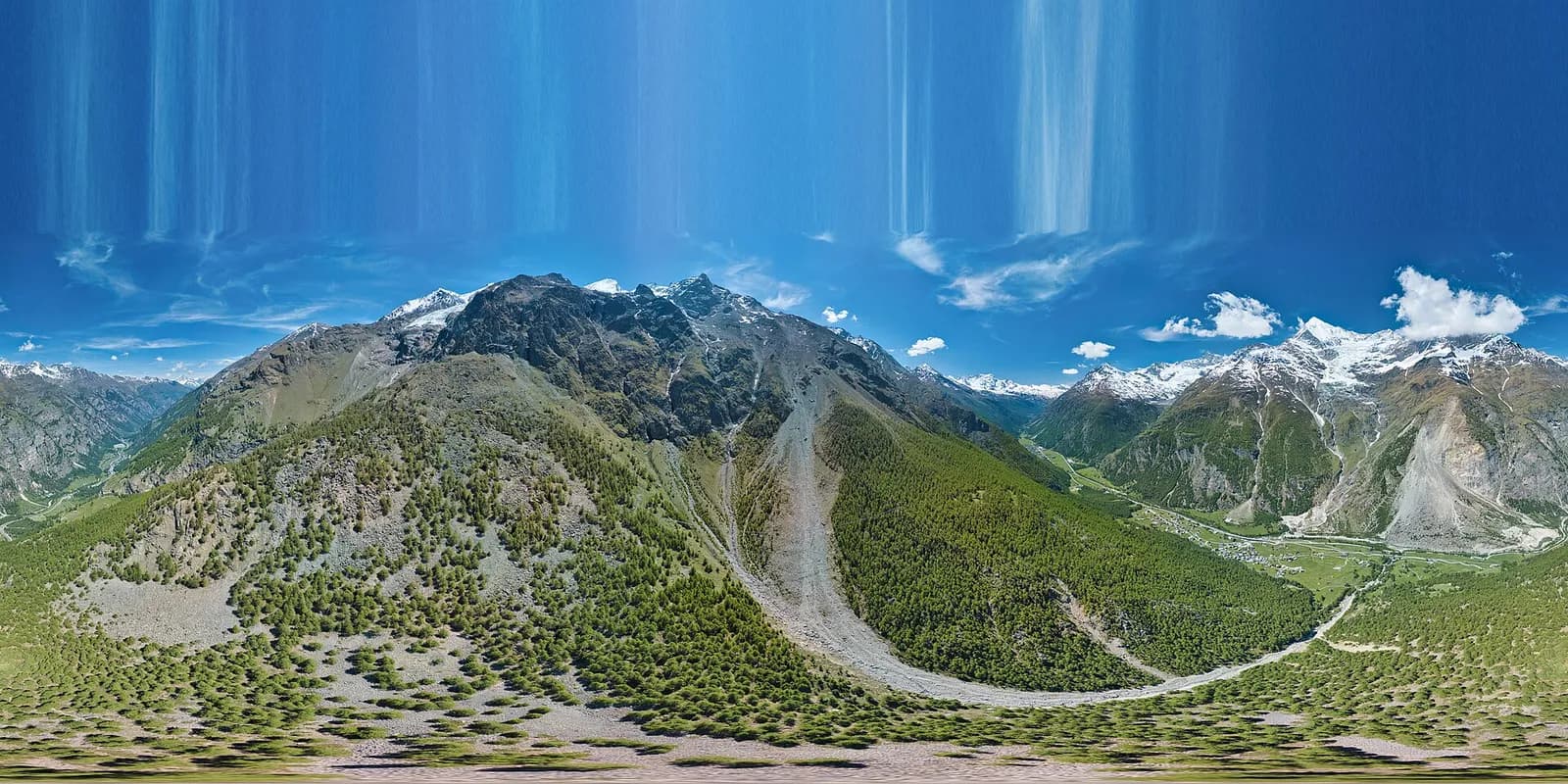
Bassa Valle
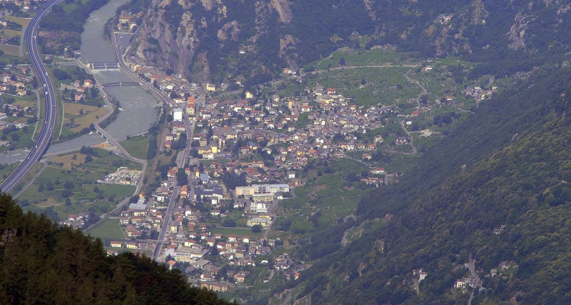
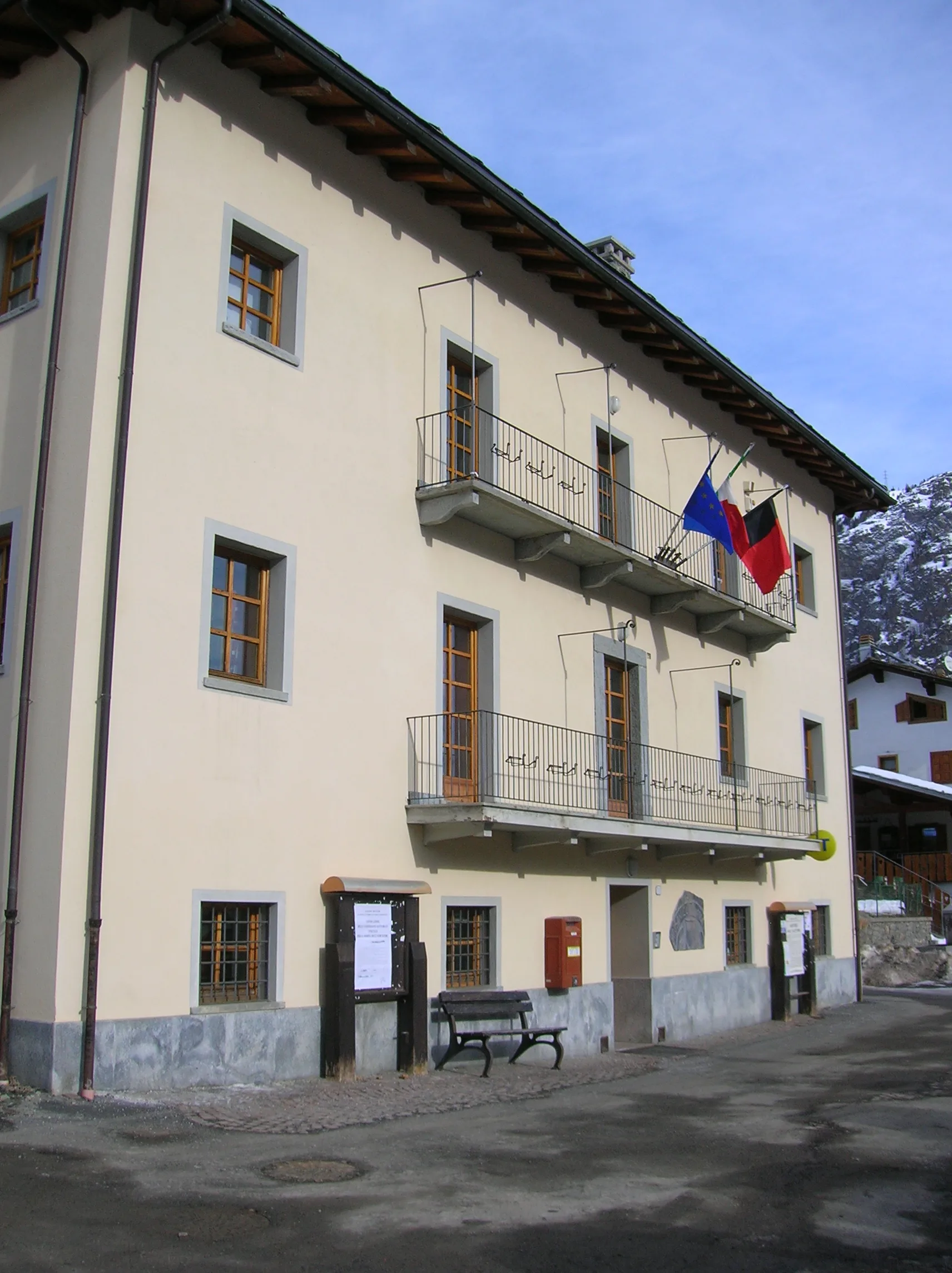
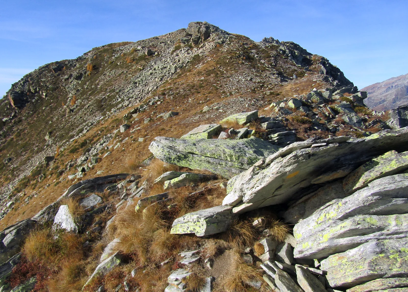
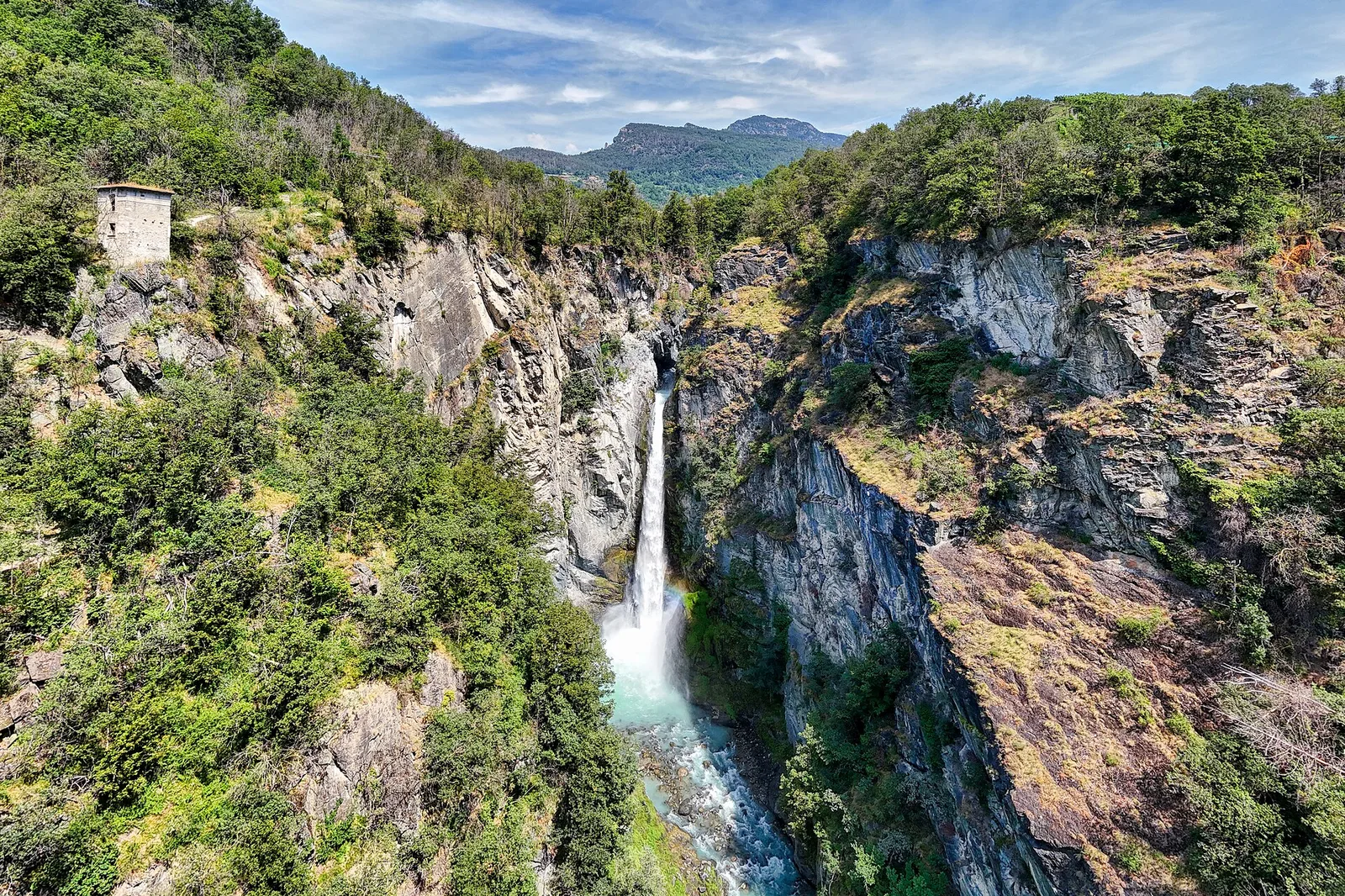
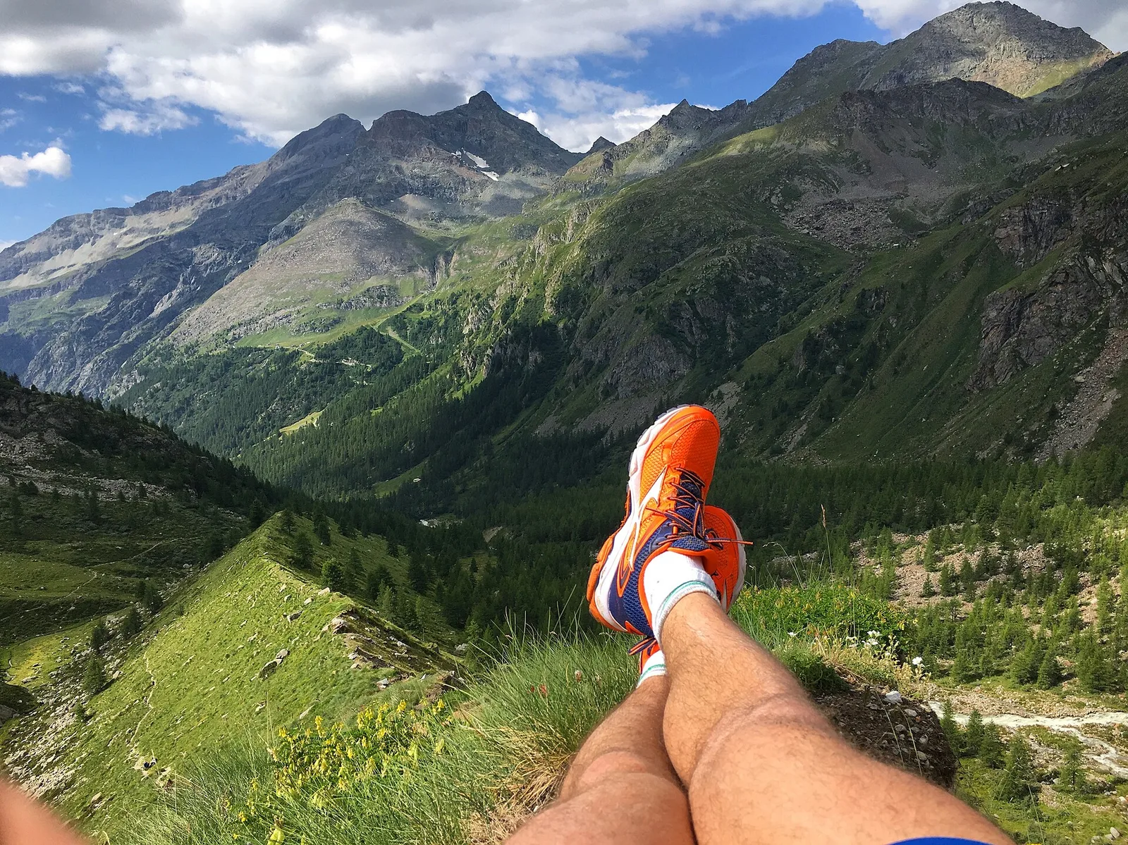
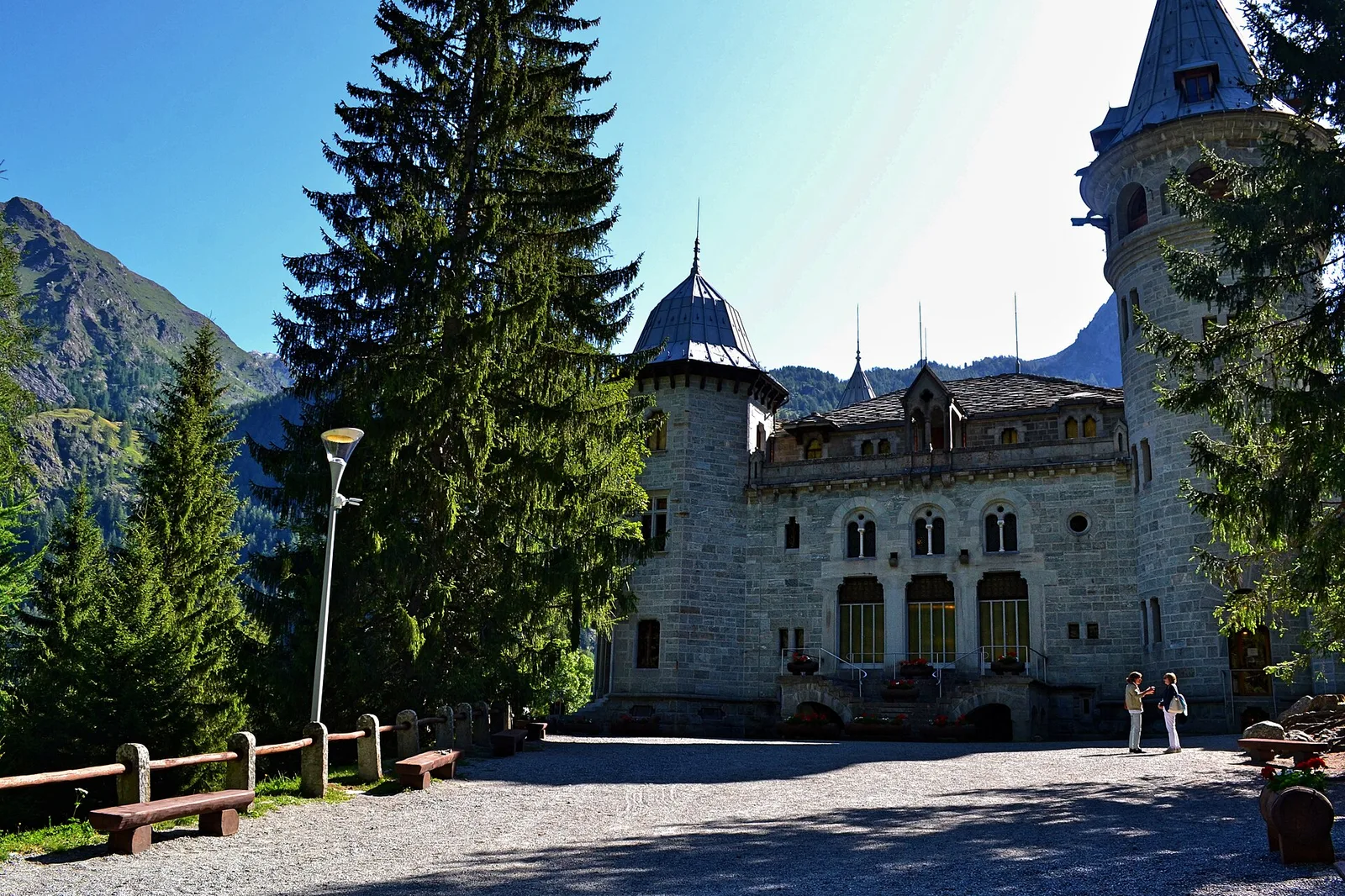
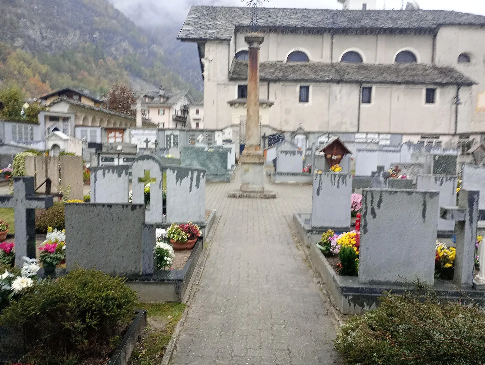
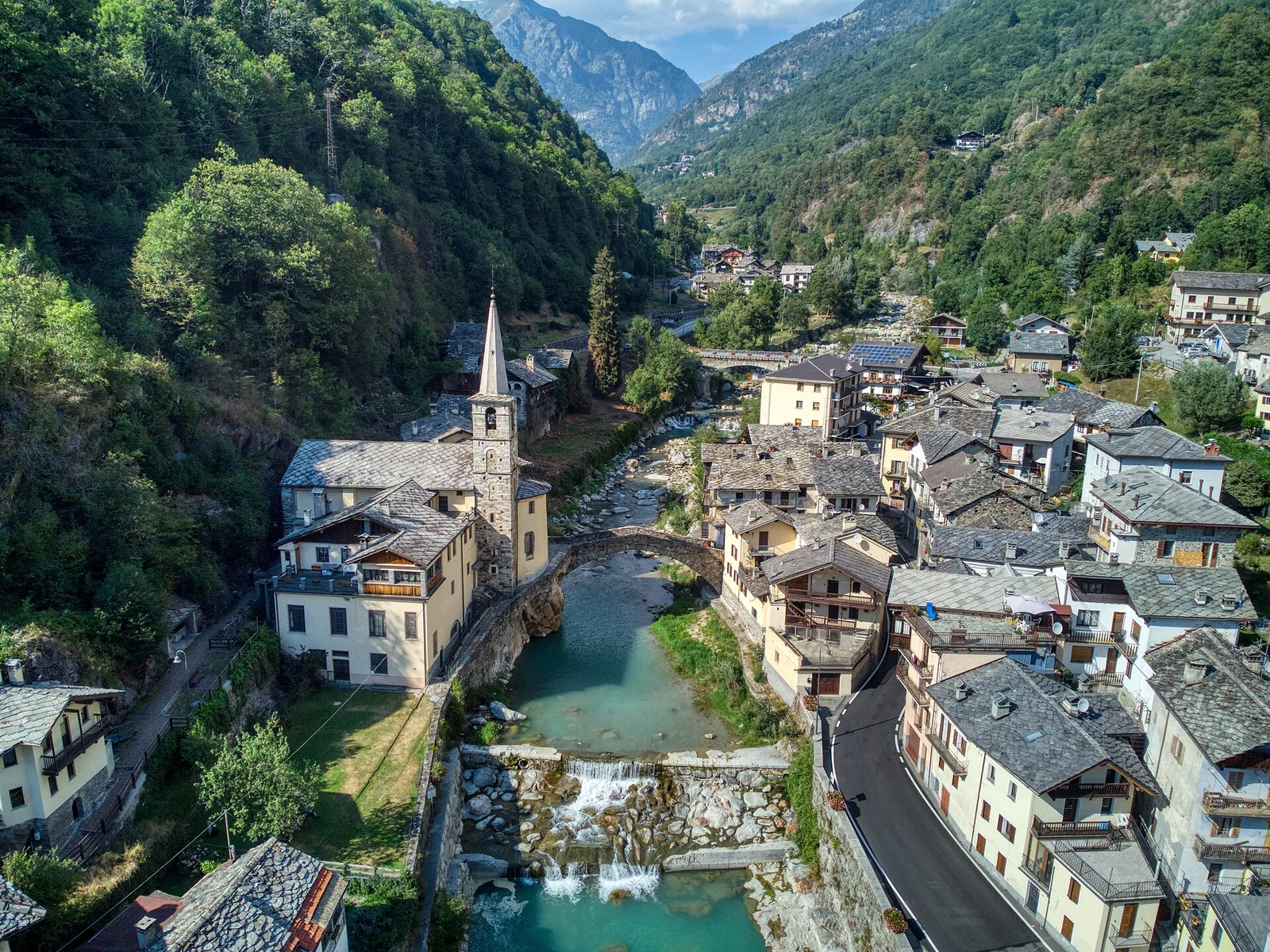
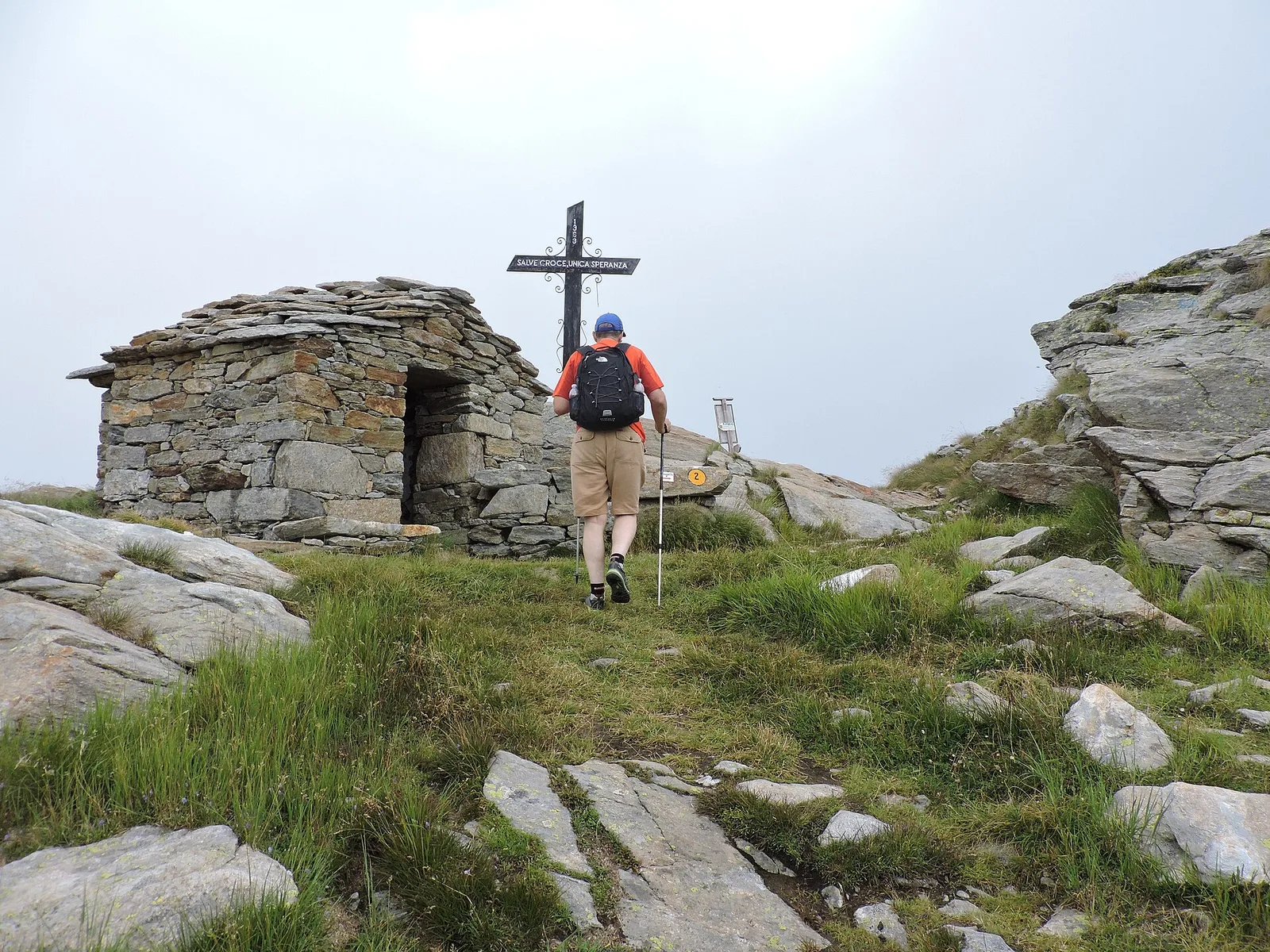
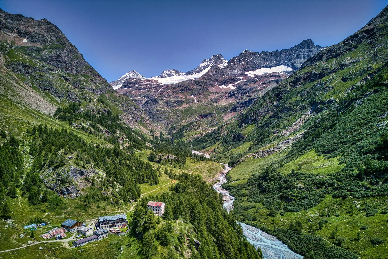
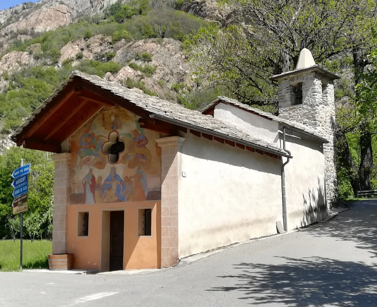
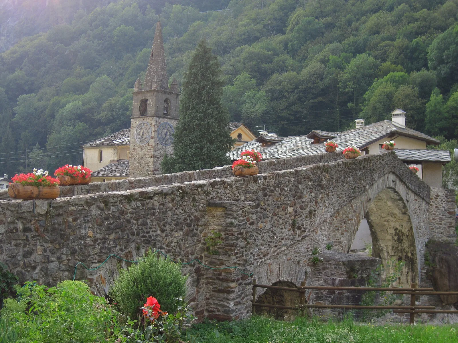
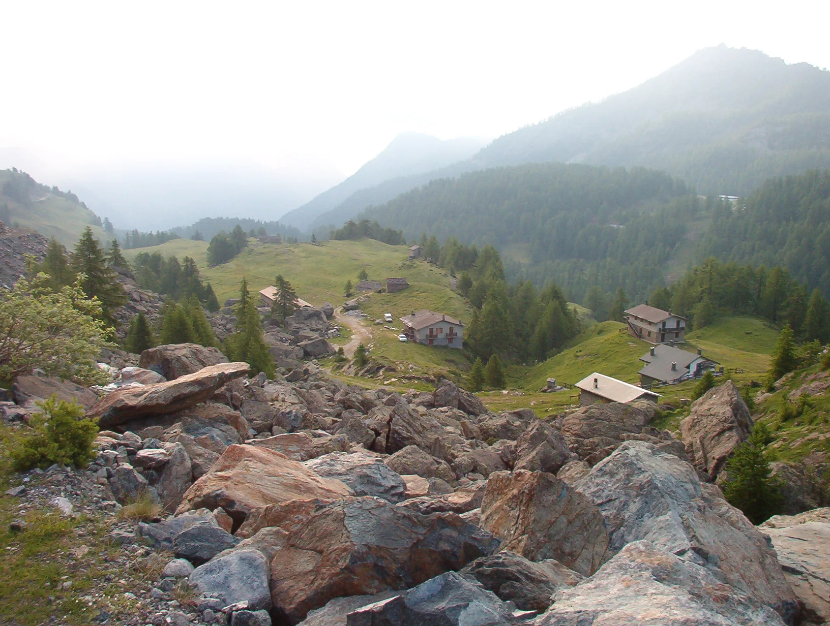
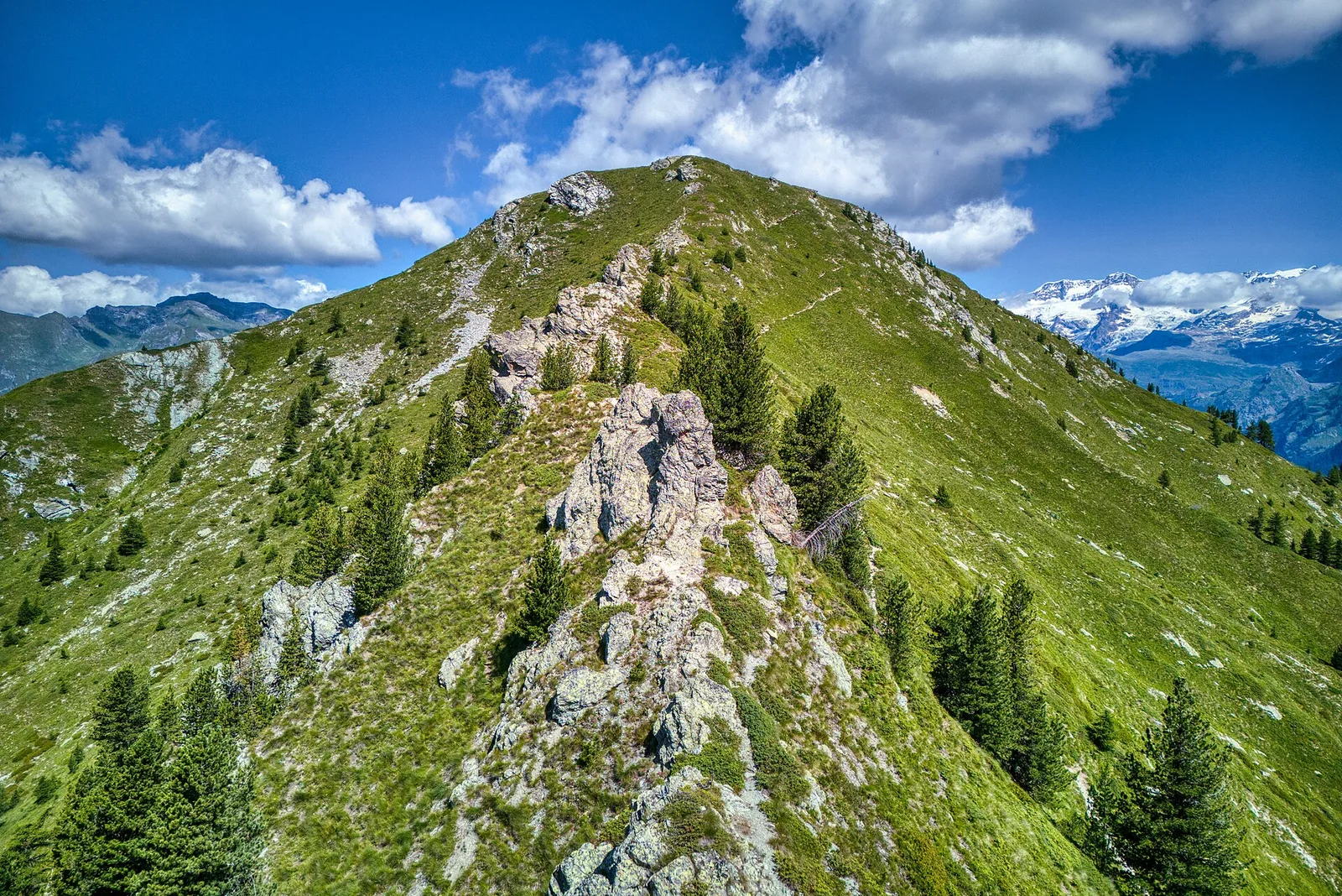
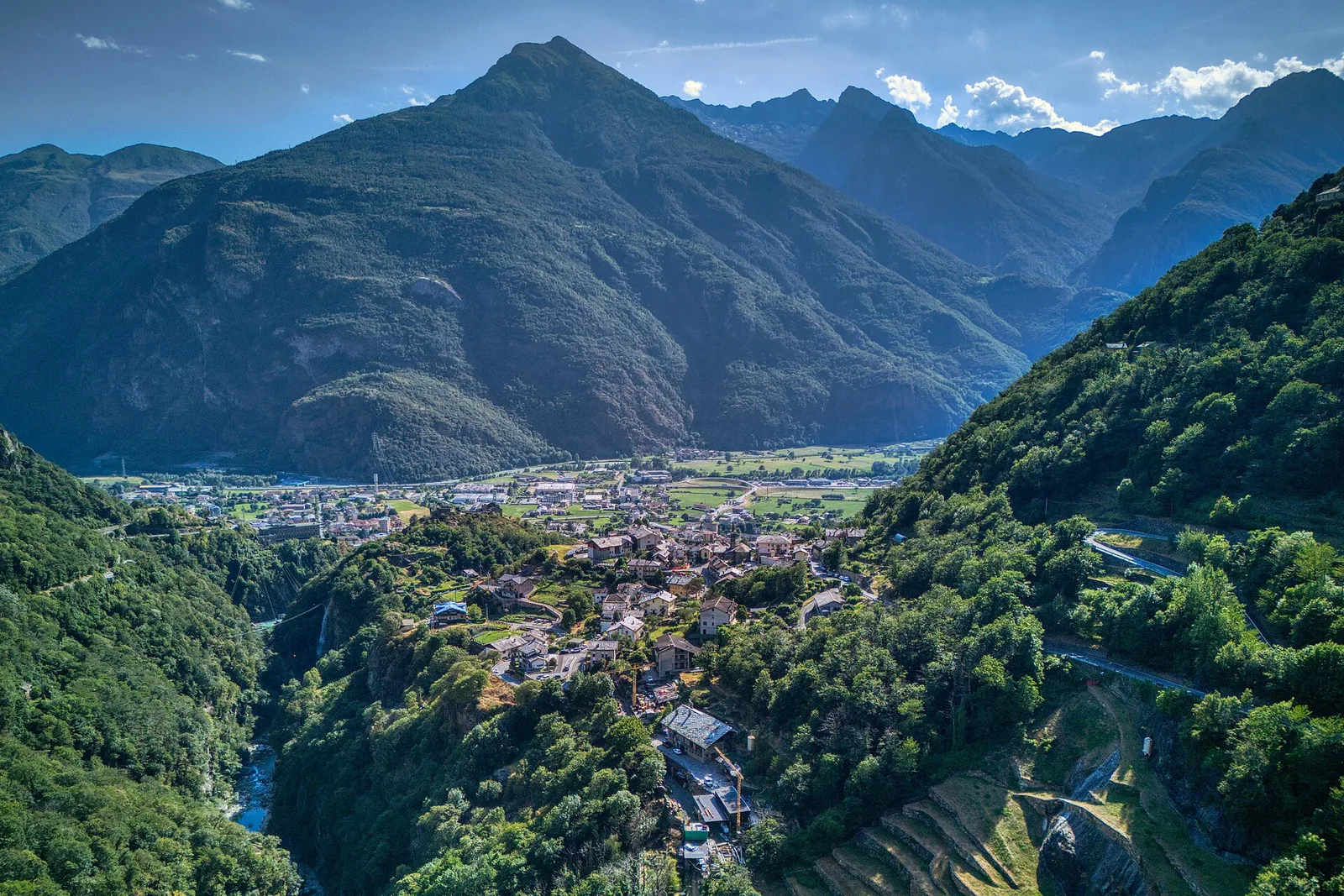
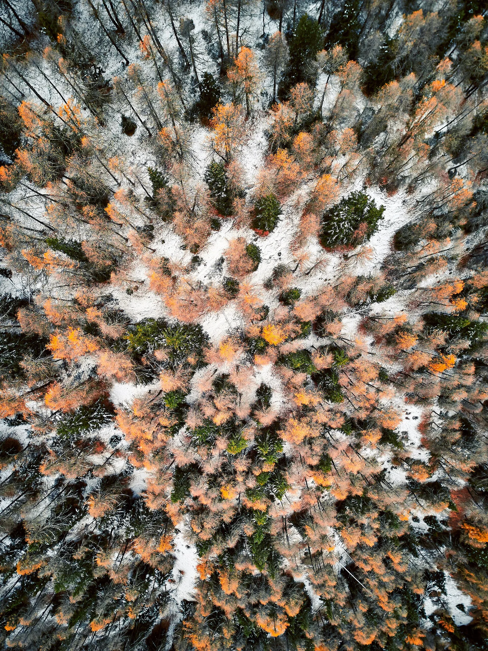
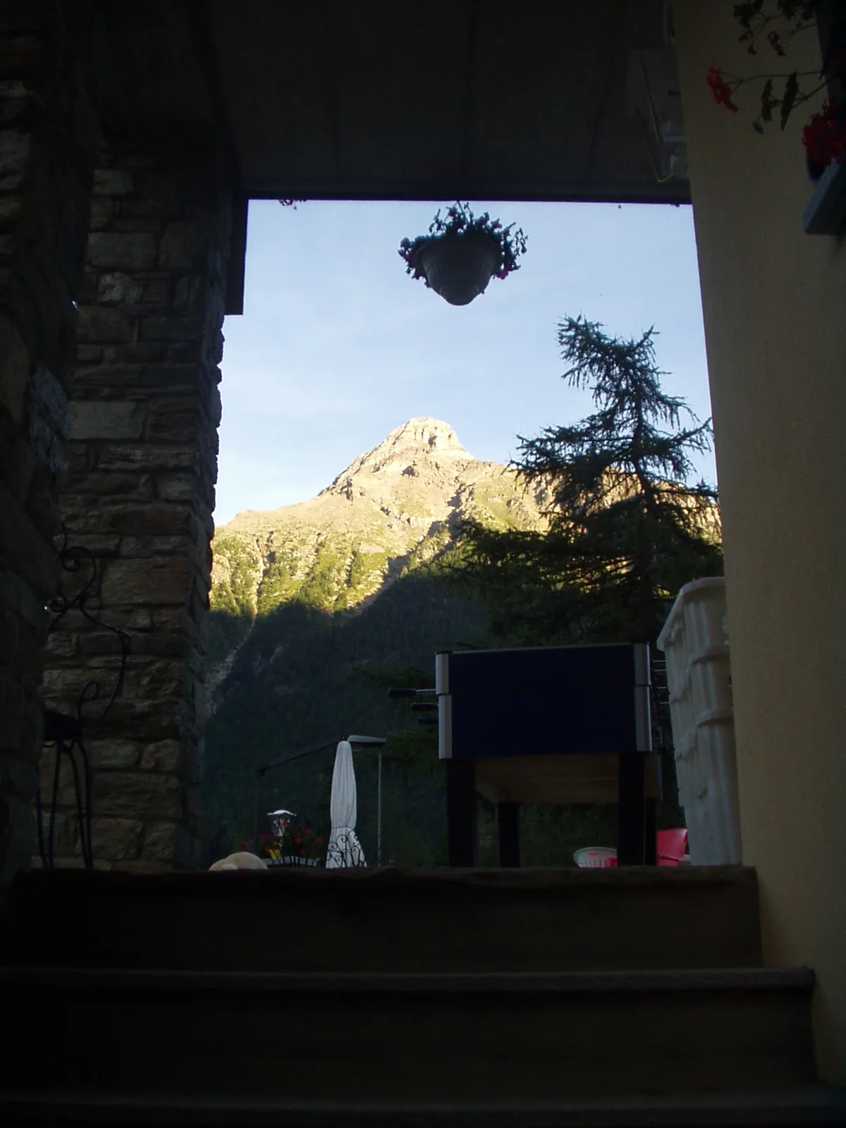
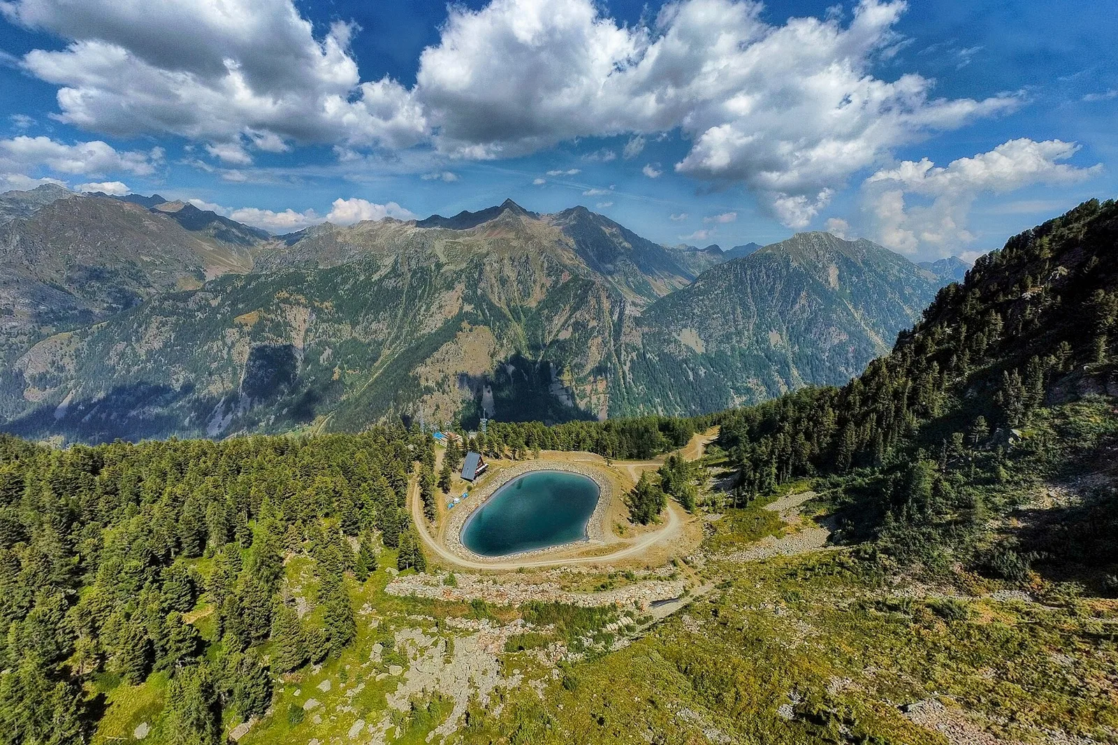
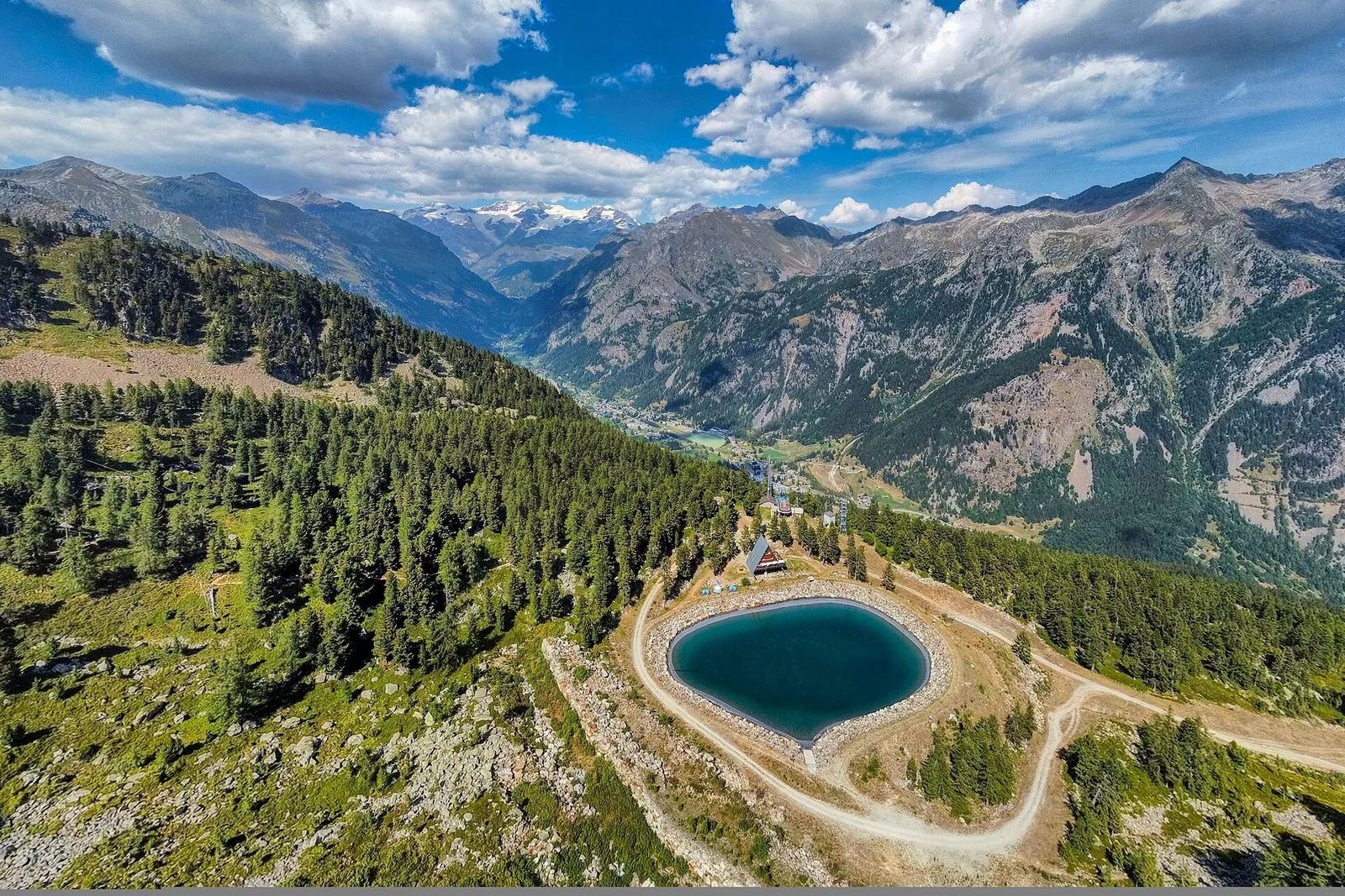
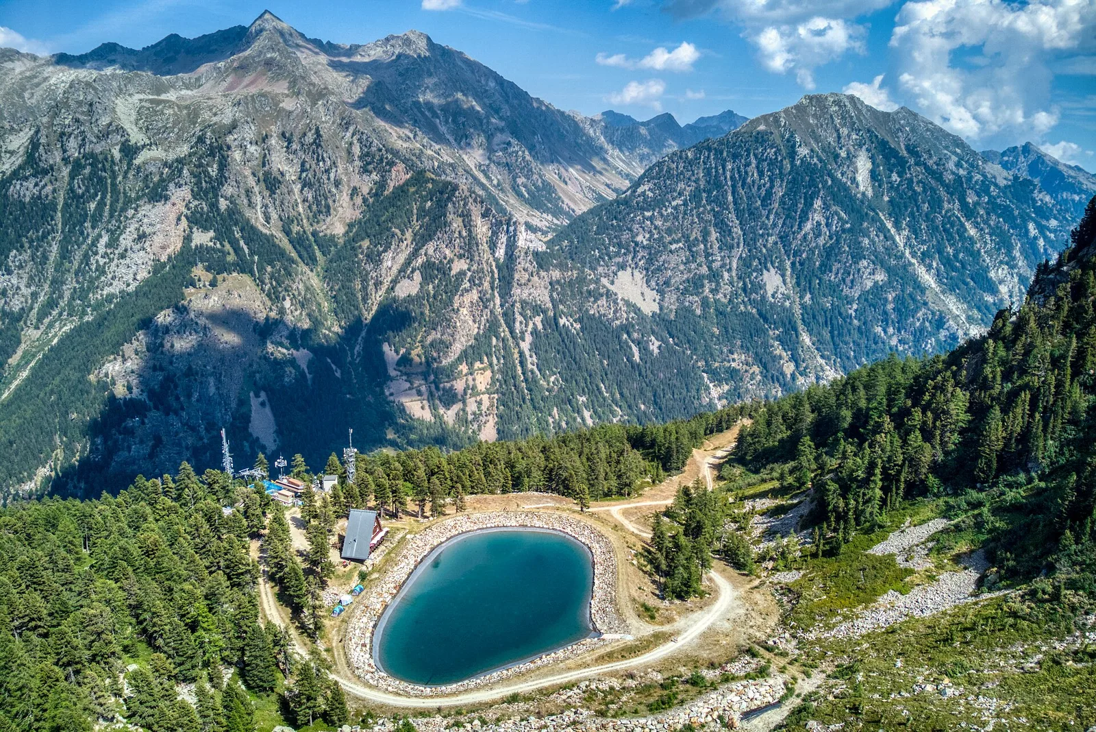
High Route 1 — Stage 1: Donnas → Perloz
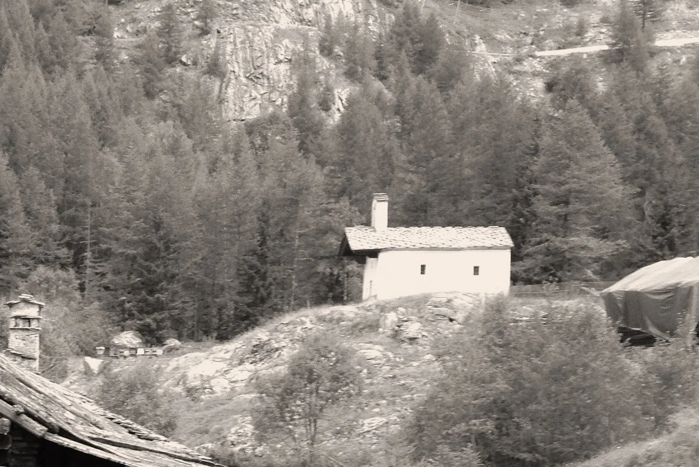
The start of the High Route of the Giants, from the valley floor up to Perloz meadows through Walser villages and chestnut groves.
12.5 km+950 m5 h
Trails and culture
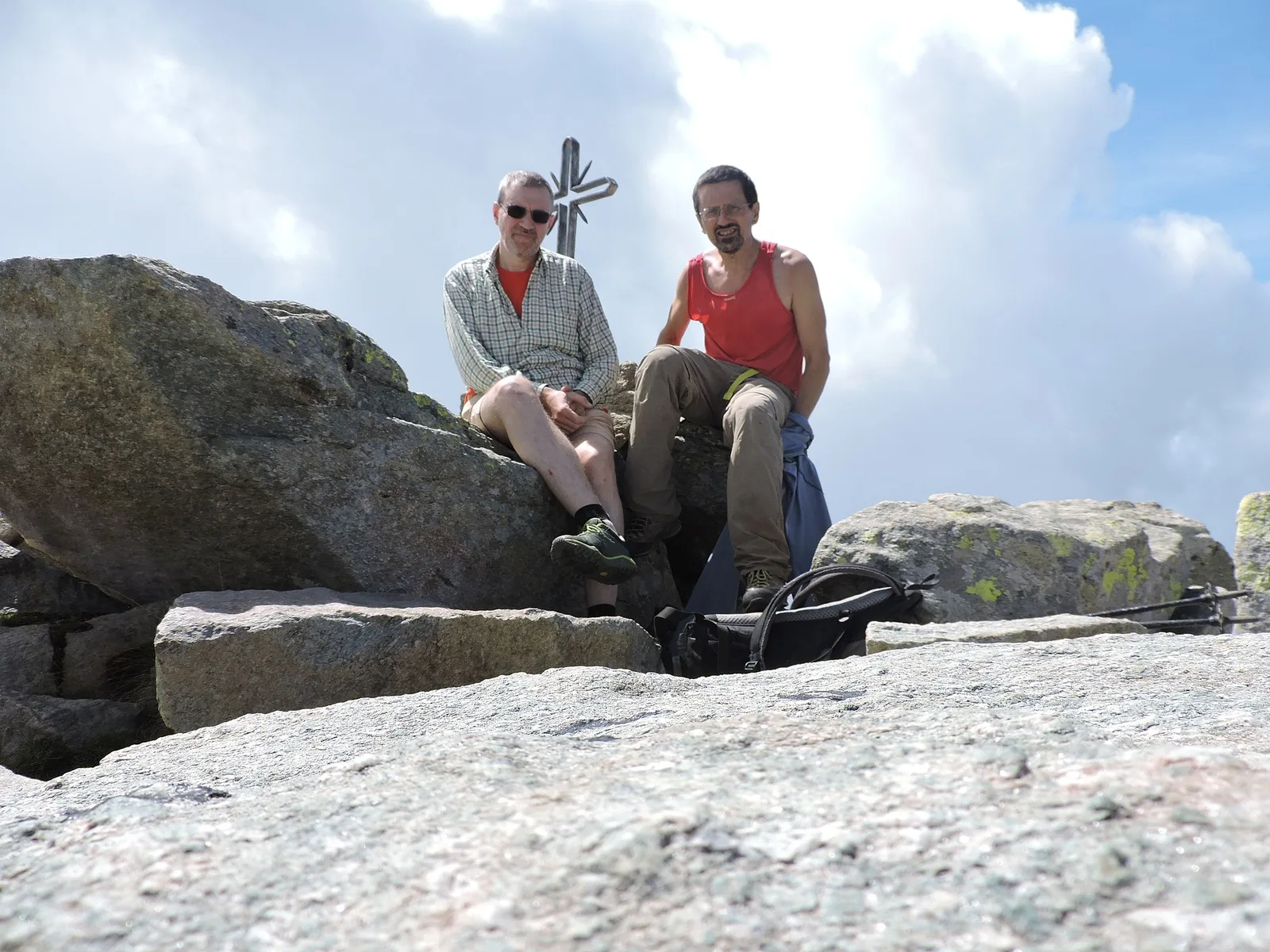
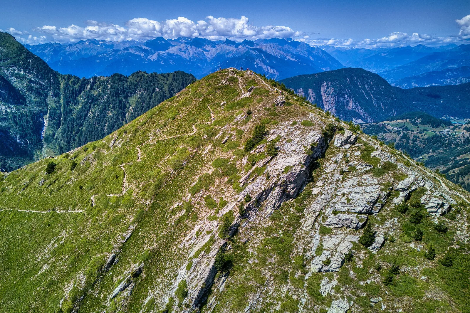
215 trails linked to Walser culture and titsch language — traditions and flavours along the route: difficulty T–EEA, elevation gain 0–1731 m.
215 · 0.5–78.9 km · +0–1731 m
Bassa Valle
The start of the High Route of the Giants, from the valley floor up to Perloz meadows through Walser villages and chestnut groves.
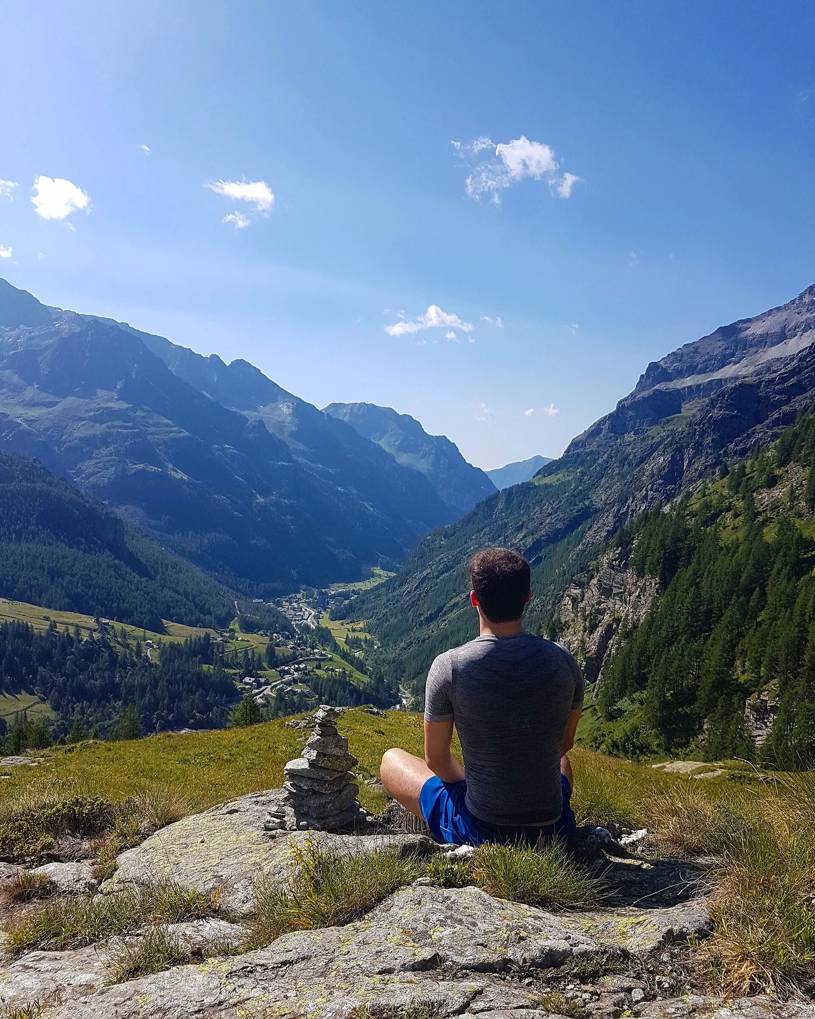
Valpelline
From the Sanctuary of Cuney to the Valpelline: a long descent over exposed ridges with short scramble sections, ending at Oyace in the heart of the Aosta Valley's most untouched valley.
Valpelline
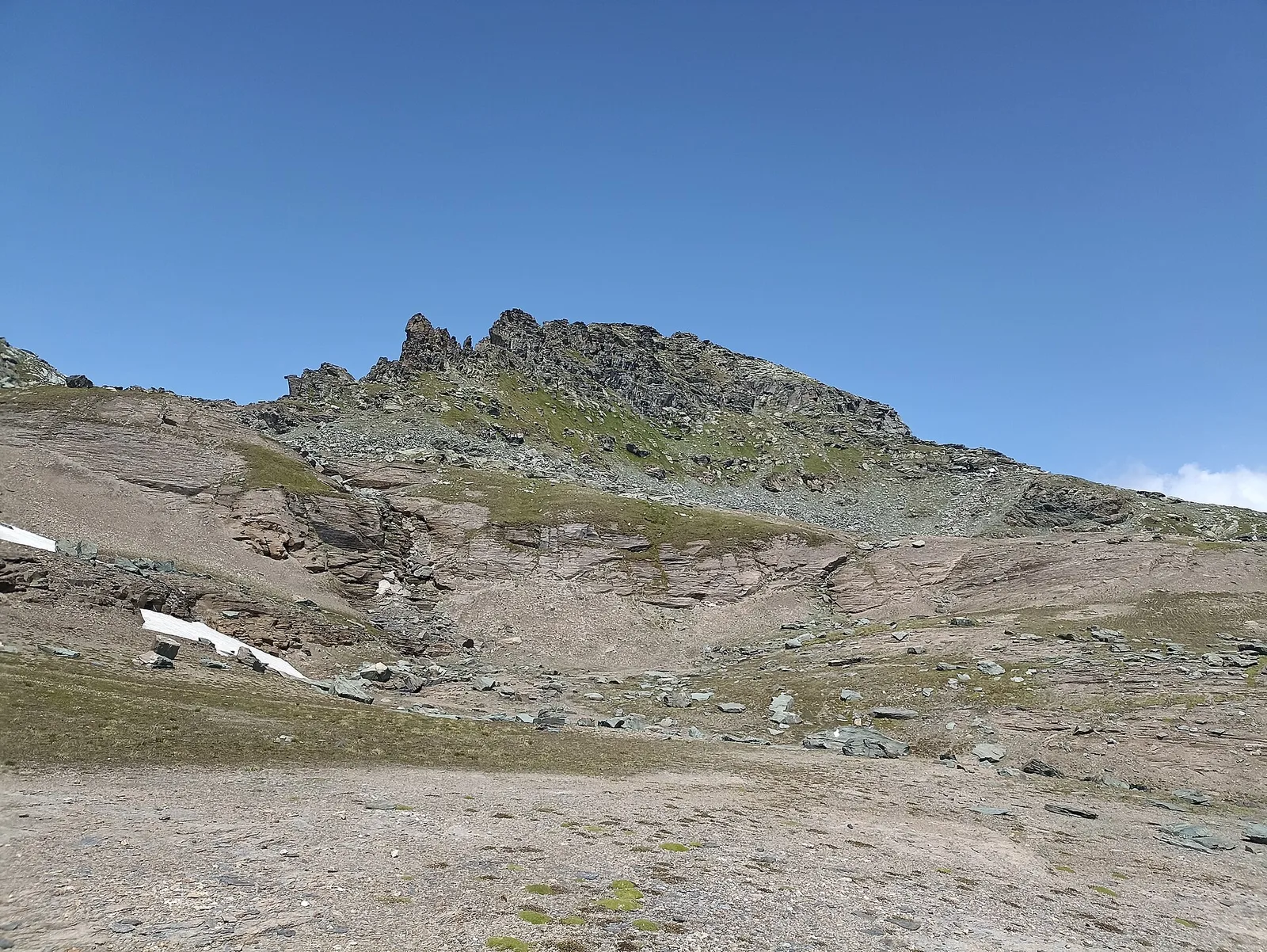
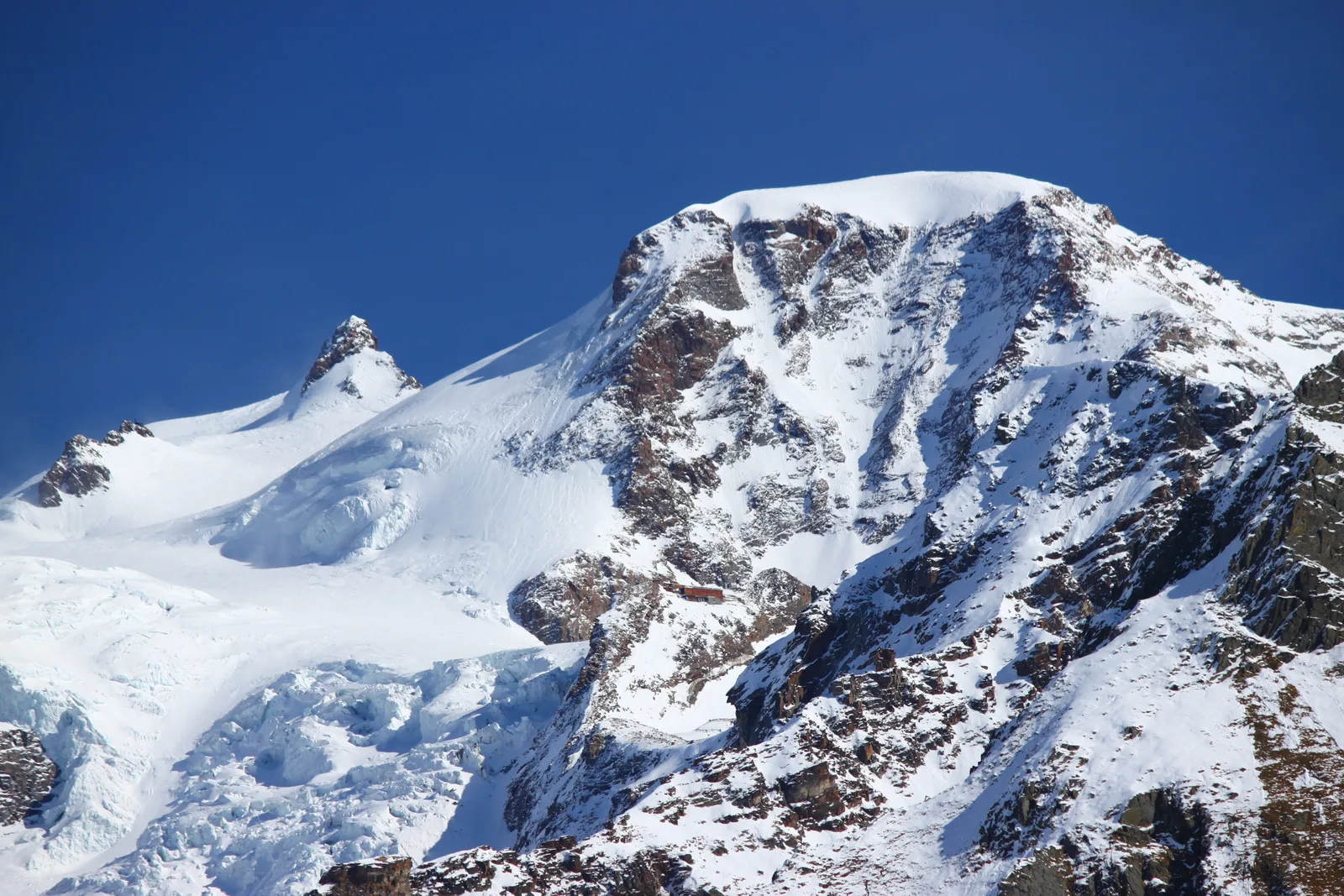
The wild Valpelline: Oyace and Ollomont sit at nearly the same elevation, but Col Brison at 2520 m demands over 1100 m of climbing with views to Mont Vélan and Grand Combin on the Swiss border.
Valpelline — Conca di By
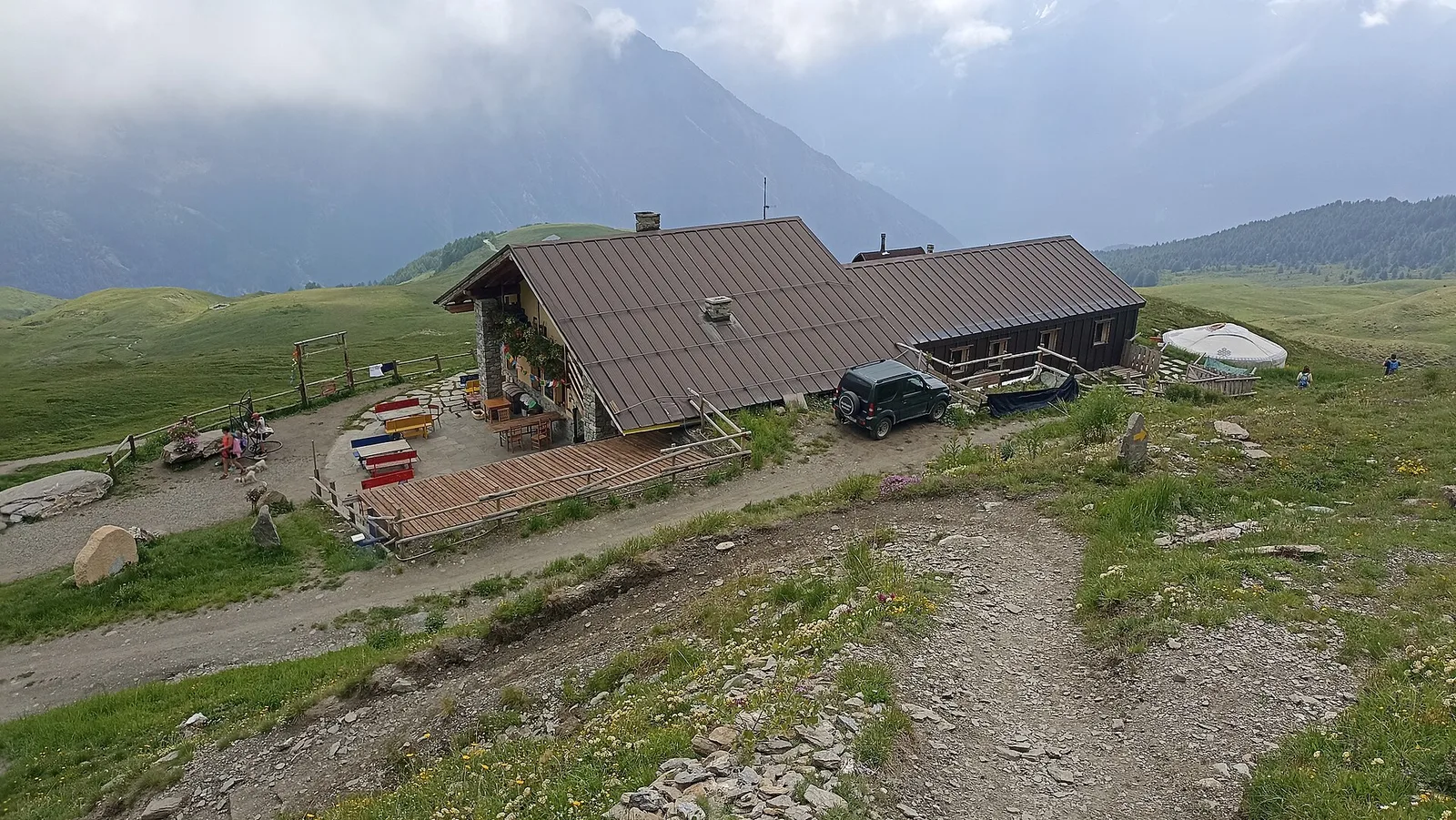
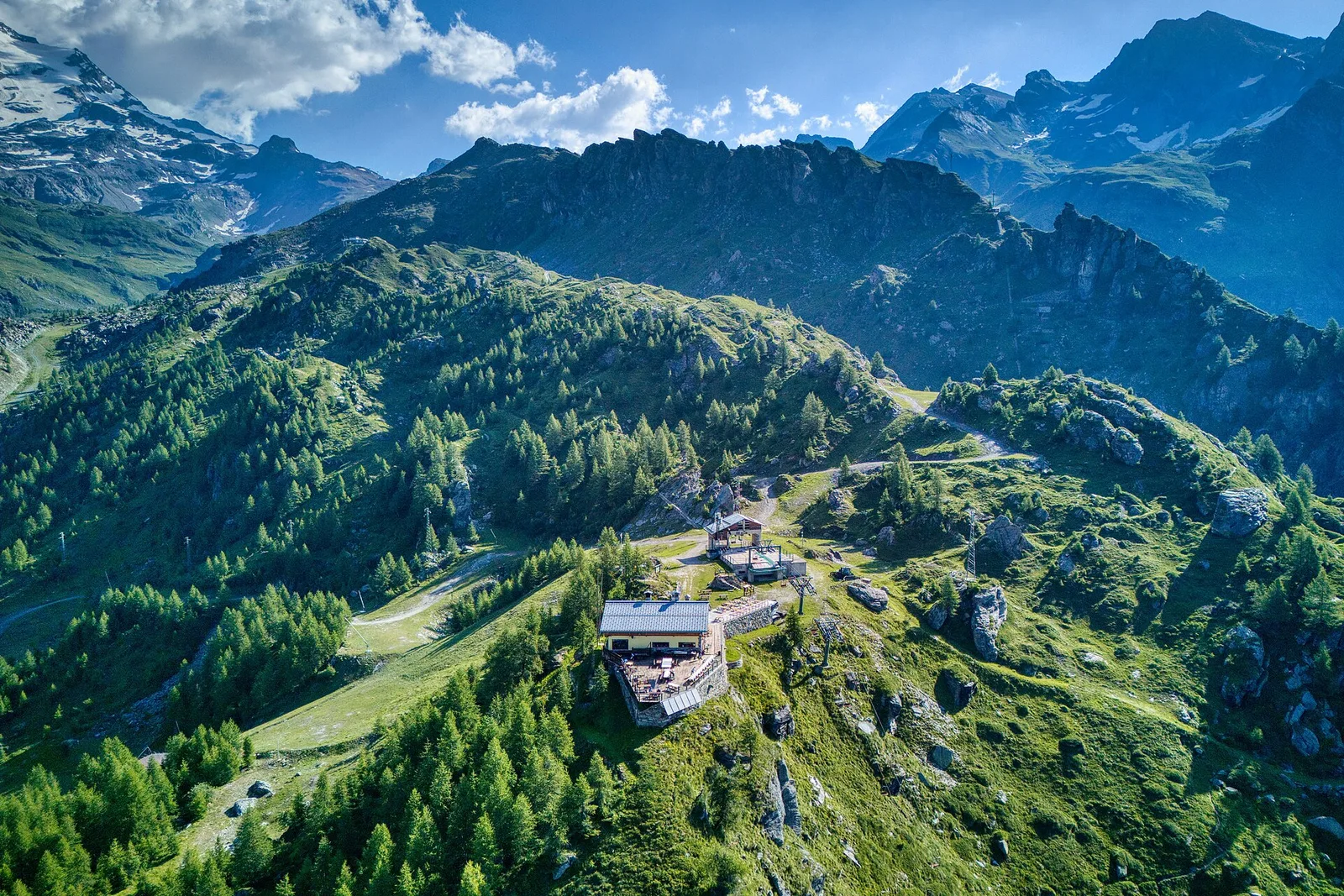
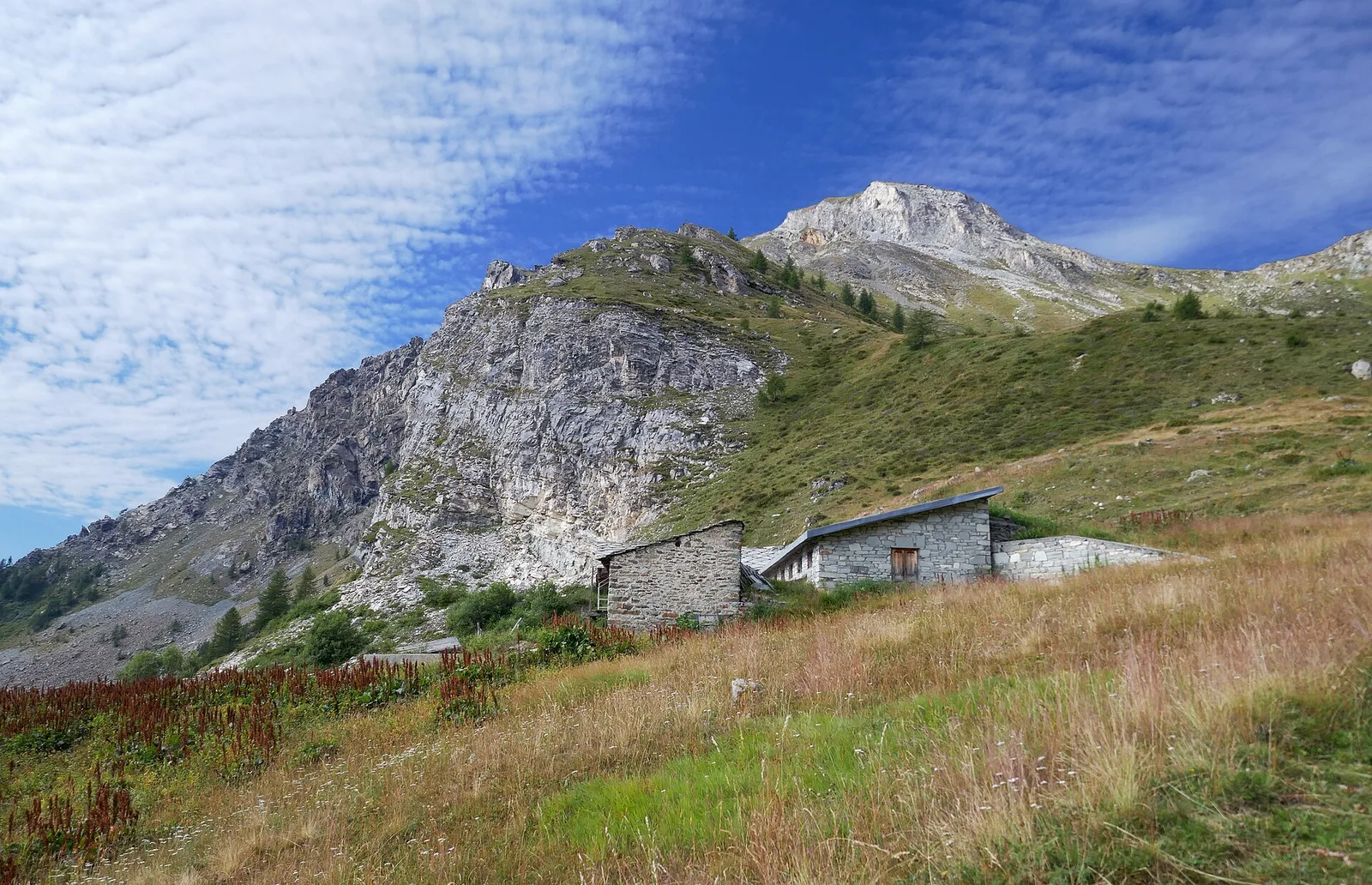
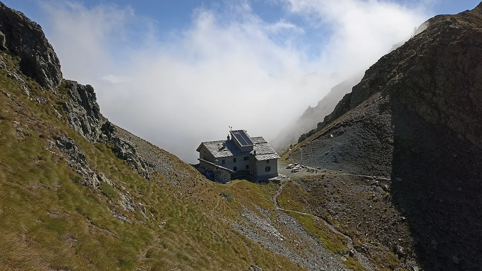
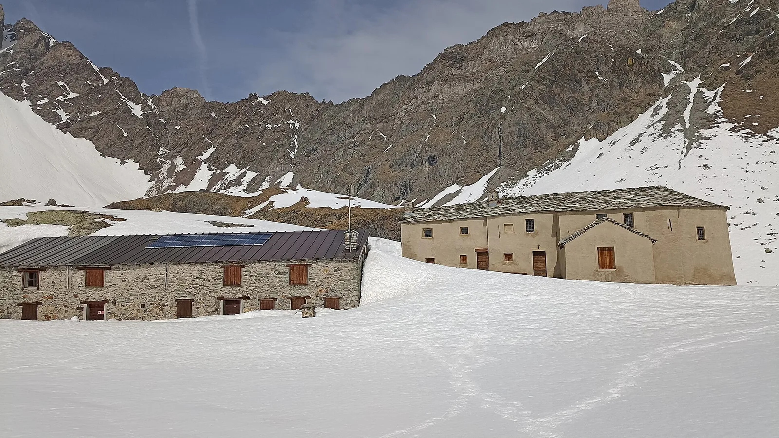
From Ollomont to Rifugio Champillon in the Conca di By: 1000 m of climbing through forests and summer farms to one of the AV1's most distinctive huts, complete with mountain sauna and yurt.
Valle del Gran San Bernardo
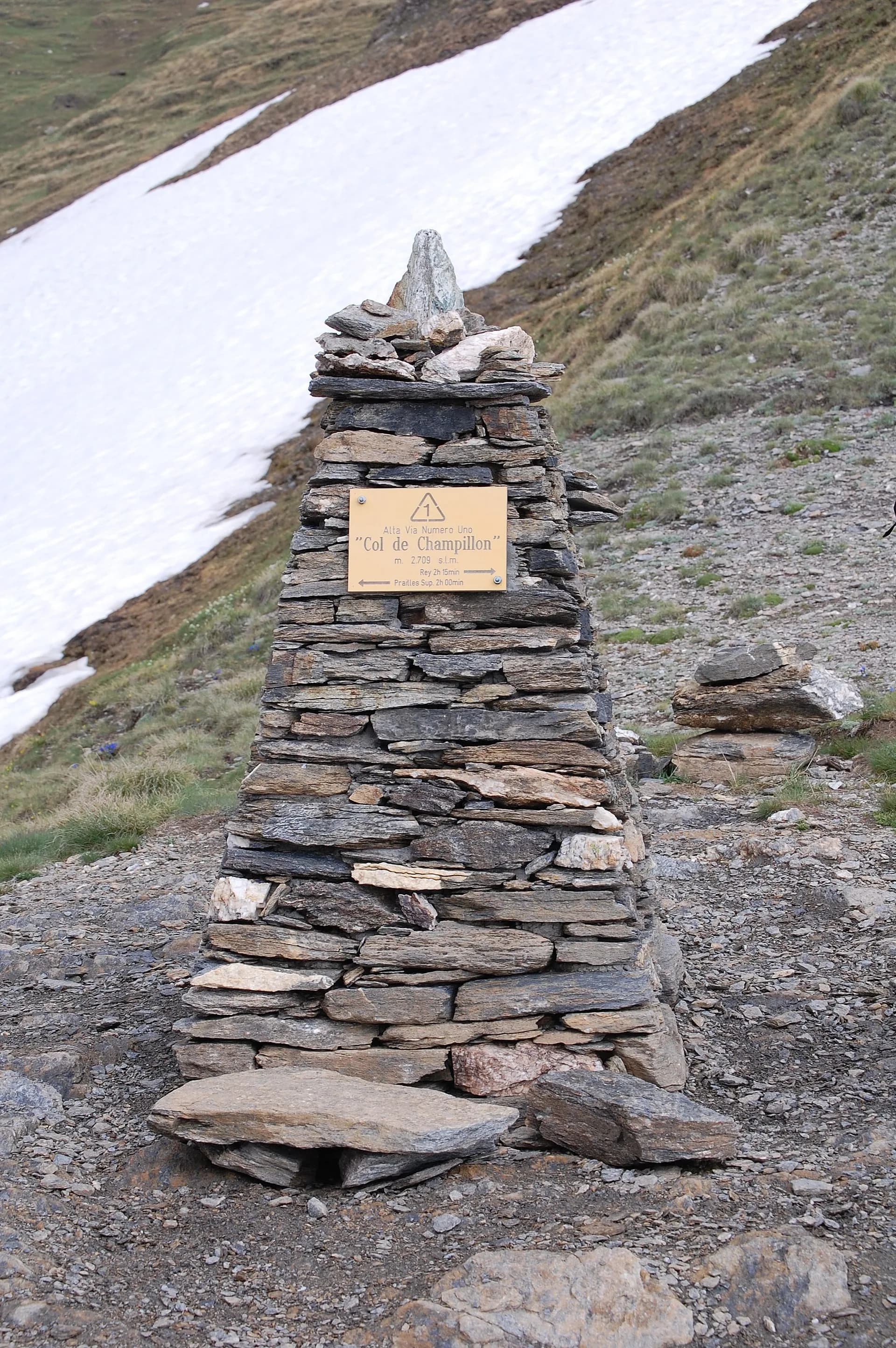
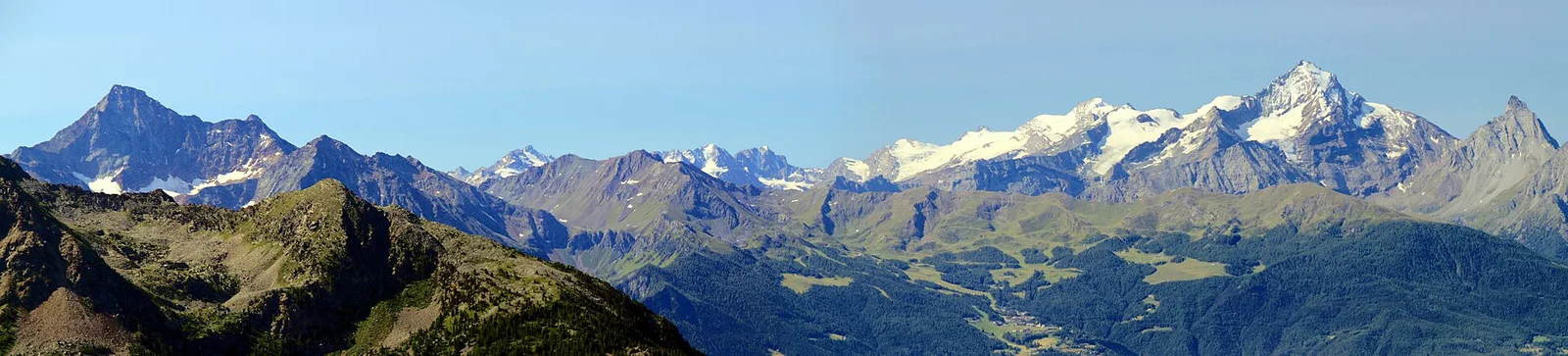
Over Col Champillon (2709 m) with panoramic views from Mont Blanc to Gran Paradiso, followed by a long descent to Saint-Rhémy-en-Bosses in the historic upper Grand Saint-Bernard valley.
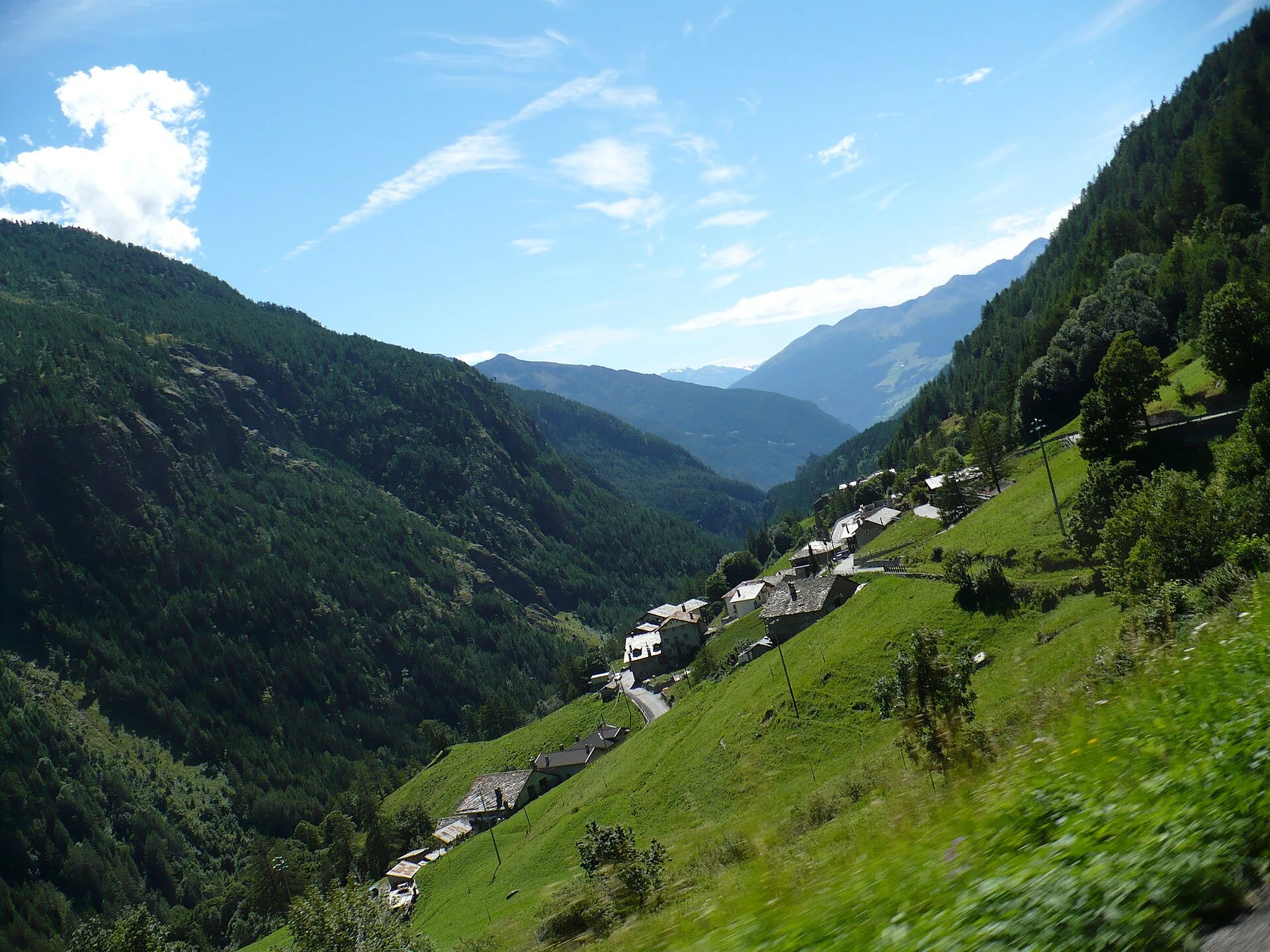
Bassa Valle — Mont Mars
From Perloz hill the trail climbs through Lillianes forest and into the Mont Mars Nature Reserve, where Rifugio Coda at 2280 m opens the view to the high valley.
Valle di Gaby
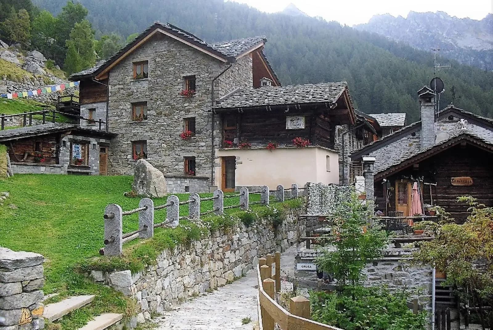
From Barma Hut the trail descends to Niel, Gaby's most remote Walser hamlet: a village frozen in time where dark-stone houses preserve centuries of alpine culture.
Valle di Gressoney
The longest stage in this sequence: 18 km of solitary ridge walking above the Lys valley with Monte Rosa views, ending in the Walser town of Gressoney-Saint-Jean.
Valle di Gressoney — Valle d'Ayas
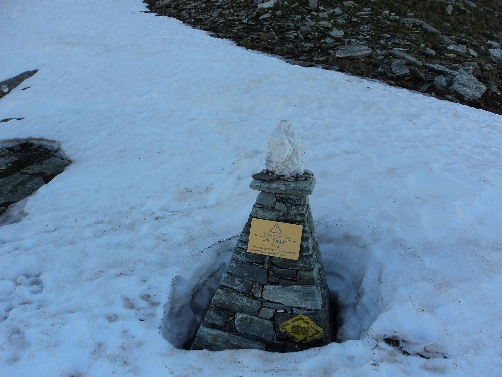
Crossing Col Pinter at 2777 m is the highlight of this stage: a wild pass between two alpine valleys where Monte Rosa dominates the entire eastern horizon.
Valle d'Ayas
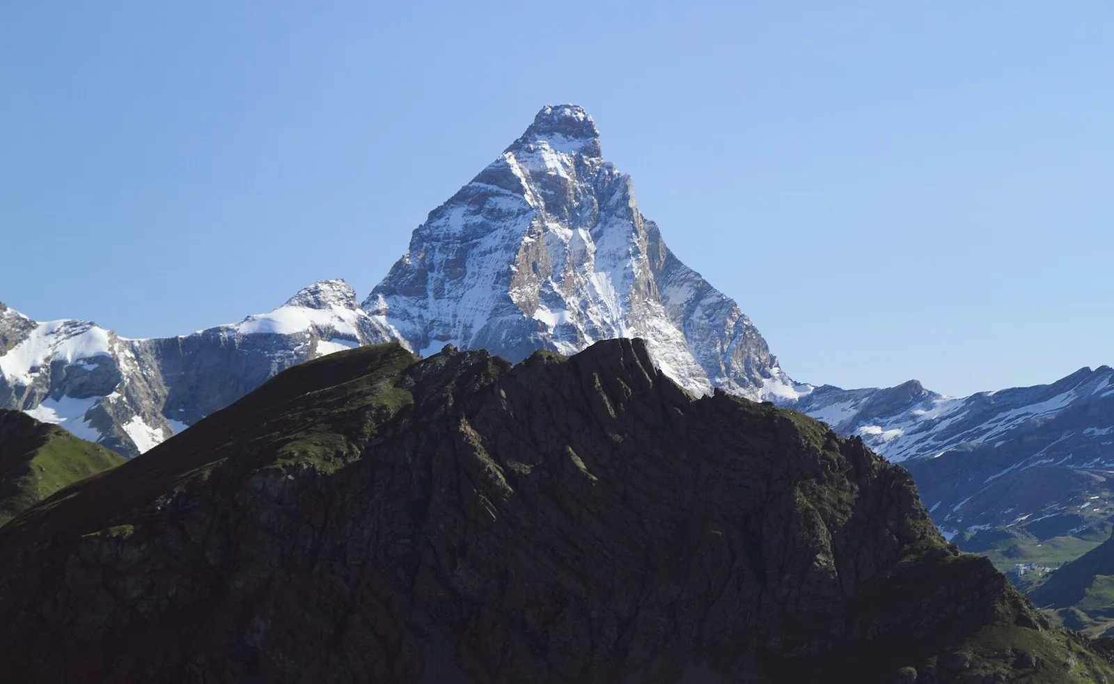
From the ridges above Champoluc to Rifugio Grand Tournalin with the Matterhorn always in view: high-mountain terrain with sweeping panoramas over the Ayas valley and its pastoral landscape.

Valle del Lys
8.9 km · +996 m · EEA — from Niel to Niel (Great St Bernard Valley).

Valle del Lys
1.2 km · +287 m · E — from Balmeto to Leck Albezò (Champorcher Valley).

Valle del Lys
4.5 km · +1280 m · E — from Bino to Alpe Jatza (Champorcher Valley).

Valpelline
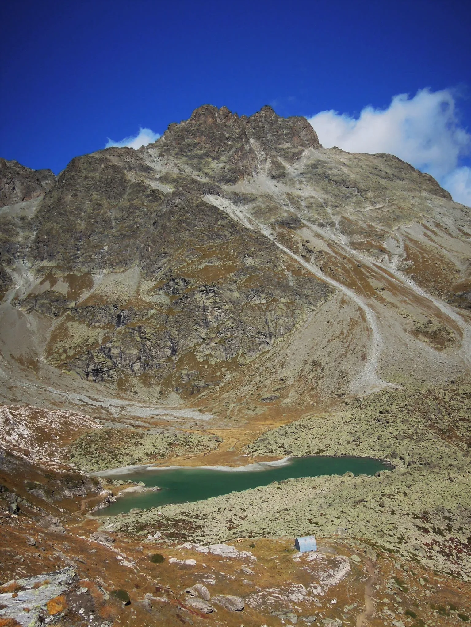
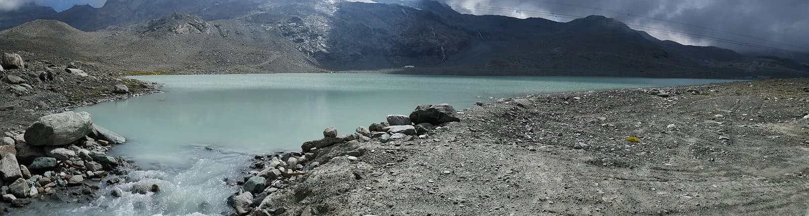
Upper Valpelline, Bionaz: an E-rated route toward a glacial objective over open terrain.

Valle del Lys
0.6 km · +80 m · E — from Start 7B to Cascate di Niel (Great St Bernard Valley).

Valpelline
From Chamin (1,732 m) to the Bivacco della Sassa (2,964 m) in the quiet Valpelline: 7.1 km and 1,246 m of ascent.

Valpelline
3.1 km · +643 m · E — from Champillon to Col Champillon (Valtournenche).

Valpelline
From Allein toward Valpelline across the panoramic ridge between the two valleys: an E-rated route over open pastures with views of the Gran San Bernardo.
Valpelline
From Chez-Chenoux the trail quickly clears the forest belt and opens onto the Comba di Vertsan pastures, climbing to the ruins of Alpe Chardonney (2519 m) in the quiet upper Valpelline.
Valpelline
Chez-Chenoux (1739 m) to Alpe Luseney (2478 m), Valpelline: short, steep ascent into a glacial cirque. 3 km, +775 m, E.
Valpelline
23.9 km · +0 m · EE — from Col Collon to Col de Crêtes Séche (Valpelline).
Valle del Lys
5.5 km · +855 m · E — from Staffal to Col della Bettaforca (Lys Valley).

Bassa Valle
3.3 km · +921 m · E — from Collaré to Mont de Beuby (Central Valley).
Val d'Ayas
4.4 km · +920 m · EEA — from Colle Bettaforca to Rifugio Quintino Sella (Lys Valley).
Valle del Lys
34.4 km · +0 m · E — from Colle del Teodulo to Col d'Olen (Central Valley).
Valle del Lys
78.9 km · +0 m · E — from Colle del Teodulo to Capoluogo (Central Valley).
Valpelline
1 km · +107 m · E — from Cretaz to Tour d'Oyace (Lys Valley).
Valpelline
1.3 km · +270 m · E — from Créton to Arp du Bois (Valpelline).

Valle del Lys
1.7 km · +20 m · E — from Leschelbalmo to Leschelbode (Champorcher Valley).

Valpelline
4.2 km · +900 m · E — from Doues-Planavilla to Plan du Débat (Valtournenche).
Valpelline
7.8 km · +1552 m · E — from Planavilla to Col Champillon (Valtournenche).
Valle del Lys
7.3 km · +805 m · E — from Estoul to Lago Lungo (Ayas Valley).

Valpelline
8.6 km · +1369 m · EE — from Etirol to Col de Fort (Valpelline).

Valpelline
9.9 km · +1466 m · EE — from Etirol to Cima Bianca (Valpelline).

Valpelline
A solitary climb to Bivacco Chentre Bionaz deep in the wild upper Valpelline — nearly 1000m of gain among abandoned pastures and border glaciers.
Valle del Lys
6.6 km · +1385 m · EE — from Fey to Col d'Arche (Central Valley).

Valle del Lys
6.3 km · +1311 m · E — from Fey to Colle Prial (Central Valley).
Bassa Valle
4.5 km · +938 m · E — from Fey to Croix Corma (Central Valley).
Valle del Lys
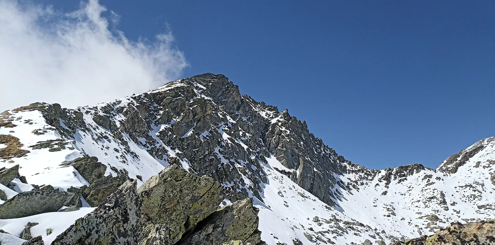
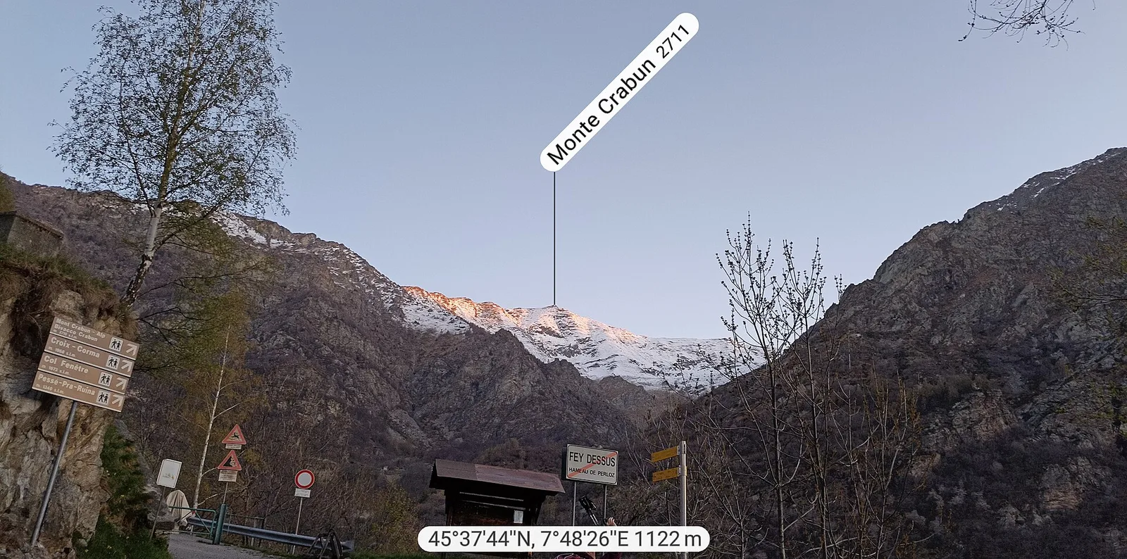
7.2 km · +1683 m · E — from Fey to Mont Crabun (Central Valley).

Bassa Valle
2.5 km · +373 m · E — from Fey to Piatolet (Central Valley).

Valle del Lys
8.6 km · +1458 m · EE — from Fontainemore to Col de Chardon (Lys Valley).
Valle del Lys
7.8 km · +1429 m · E — from Capoluogo to Col de Gragliasca (Lys Valley).
Valle del Lys
8.9 km · +1592 m · E — from Fontainemore to Col de Marmontana (Lys Valley).

Valle del Lys
7.3 km · +1592 m · E — from Fontainemore (Capoluogo) to Colle Marmontana (Lys Valley).
Valle del Lys
6.2 km · +1631 m · E — from Capoluogo to Pointe Prial (Lys Valley).
Valle del Lys
8.8 km · +1503 m · E — from Fontainemore to Colle della Barma d'Oropa (Lys Valley).
Valle del Lys
8.8 km · +1510 m · E — from Capoluogo to Colle della Barma d'Oropa (Lys Valley).
Valle del Lys
2.8 km · +328 m · E — from Lago Gabiet to Passo Zube (Lys Valley).

Valle del Lys
2.7 km · +496 m · E — from Gaby to Bounitzon (Great St Bernard Valley).
Valpelline
4.8 km · +1037 m · E — from Glacier to Bivacco Regondi (Valpelline).
Valpelline
5.8 km · +1117 m · E — from Glacier to Bivacco Rosazza/Savoie (Valpelline).
Valpelline
5 km · +1117 m · E — from Glacier to Bivacco Rosazza/Savoie (Valpelline).

Valpelline
7 km · +1273 m · E — from Glacier to Colle Fenêtre Durand (Valpelline).
Valpelline
5.6 km · +850 m · E — from Glacier to Pointe Cormet (Valpelline).
Valpelline
3.7 km · +1428 m · EE — from Glacier to Rifugio Amianthe (Valpelline).
Valle del Lys
In the commune of Brusson, Val d'Ayas: an E-rated route among hamlets and pastures with characteristic valley views.
Valle del Lys
From the medieval castle ruins at Graines (1,398 m) to the Col de Frudière (2,266 m) in Val d'Ayas: 7.7 km blending history and open alpine landscape.
Valle del Lys
Upper Val d'Ayas, Brusson: a route through high-altitude meadows and rock.

Valle del Lys
7.2 km · +1036 m · E — from Gressoney-la-Trinité to Colle Bettaforca (Lys Valley).
Val d'Ayas
6.7 km · +1050 m · EE — from Gressoney-la-Trinité to Passo del Rothorn (Salerfòrkò) (Lys Valley).
Valle del Lys
5.4 km · +1403 m · EE — from Gressoney-la-Trinité to Piccolo Rothorn (Lys Valley).

Valle del Lys
5.9 km · +1689 m · EEA — from Capoluogo to Testa Grigia (Groabhopt) (Lys Valley).

Valle del Lys
4.6 km · +713 m · E — from Grundji to Grundji (Ayas Valley).
Valle del Lys
9 km · +1662 m · E — from Isollaz to Col Dondeuil (Ayas Valley).

Valle del Lys
8.1 km · +1383 m · E — from Issime to Col Dondeuil (Ayas Valley).

Valle del Lys
4.3 km · +92 m · E — from Capoluogo to Gaby (Ayas Valley).

Valle del Lys
6.4 km · +1576 m · E — from Kunju to Col Chasten Sud (Ayas Valley).

Valle del Lys
6.7 km · +1641 m · E — from Kuniu to Colle Tschasten nord (Ayas Valley).
Valpelline
3.6 km · +633 m · E — from Laghetto Champillon to Col Champillon (Valtournenche).
Valle del Lys
2.1 km · +538 m · E — from Lago Gover to Alpe Jatza (Champorcher Valley).

Valpelline
9.2 km · +1563 m · E — from Closé to Colle Vessona (Lys Valley).
Valle del Lys
5.4 km · +1289 m · E — from Le Miriou to Monte Lose Bianche (Central Valley).
Valle del Lys
4.8 km · +1248 m · E — from Le Miriou to Punta Prial (Central Valley).
Valle del Lys
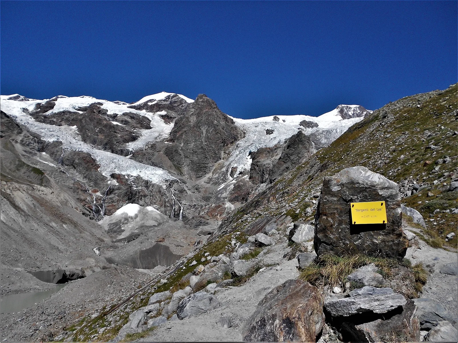
3.3 km · +571 m · EE — from Staffal to Sorgenti del Lys (Lys Valley).

Valpelline
2.6 km · +240 m · E — from Lessert to Le Moulin (Valpelline).

Valpelline
From Lessert (1,618 m) to the Col de Crête Sèche (2,898 m) in the Valpelline: 6.5 km and 1,330 m to a high pass on the Swiss border.

Valle del Lys
2.8 km · +802 m · E — from Lihrla to Alpe Grignatz (Great St Bernard Valley).

Valle del Lys
2.4 km · +438 m · E — from Lillianes to Le Miriou (Central Valley).

Valle del Lys
2.3 km · +592 m · E — from Lillianes to Sainte-Marguerite (Central Valley).
Valpelline
0.5 km · +135 m · E — from Località Champette to innesto sentiero 6 A (Valtournenche).

Valle del Lys
7.7 km · +1043 m · E — from Loomatto to Passo di Lazoney (Champorcher Valley).
Valle del Lys
2.8 km · +392 m · E — from Lysbalma to Ondermonté (Champorcher Valley).

Bassa Valle
3.9 km · +830 m · E — from Marine to Col Fênetre (Central Valley).

Valle del Lys
2.3 km · +326 m · E — from Marine to Varfey (Central Valley).
Valle del Lys
3.2 km · +328 m · E — from Muni to Col Dondeuil (Ayas Valley).

Valle del Lys
4.1 km · +794 m · E — from Nantey to Pra (Central Valley).
Valle del Lys
3.7 km · +790 m · E — from Nantay to Ruine damon (Central Valley).
Valle del Lys
3.3 km · +668 m · E — from Niel to Col de Chaparelle (Great St Bernard Valley).

Valle del Lys
3.6 km · +850 m · E — from Niel to Col Lazouney (Great St Bernard Valley).

Valle del Lys
3.6 km · +819 m · E — from Niel to Colle della Mologna Grande (Great St Bernard Valley).

Valle del Lys
3.7 km · +663 m · E — from Niel to Colle della Mologna Piccola (Great St Bernard Valley).

Valle del Lys
5 km · +853 m · E — from Niel to Lago di Suckie (Great St Bernard Valley).
Valle del Lys
3.9 km · +952 m · EE — from Niel to Punta dei Tre Vescovi (Great St Bernard Valley).
Valle del Lys
6.3 km · +822 m · E — from Obre Eselbode to Rifugio Gabiet (Lys Valley).
Valle del Lys
4.9 km · +1393 m · EE — from Obrò Biela to Passo di Rissuolo (Champorcher Valley).
Valpelline
6.1 km · +1205 m · E — from Capoluogo to Bivacco Regondi (Valpelline).

Valpelline
5.1 km · +1127 m · E — from Capoluogo to Col Brison (Valpelline).
Valle del Lys
4.8 km · +786 m · E — from Onderwoald to Col Ranzola (Champorcher Valley).
Valle del Lys
3.5 km · +1000 m · EE — from Ondre Eselbode to Bivacco Gastaldi (Lys Valley).

Valle del Lys
5.6 km · +772 m · E — from Gressoney-la-Trinité to Lago Gabiet (Lys Valley).
Valle del Lys
5.7 km · +773 m · E — from Ondre Eselbode to Rifugio Gabiet (Lys Valley).
Valle del Lys
4.3 km · +840 m · E — from Ondro Verdebio to Bronne (Champorcher Valley).
Valle del Lys
4.7 km · +1081 m · T — from Ondrò Verdebio to Colle Valdobbia (Champorcher Valley).
Valle del Lys
2.9 km · +667 m · E — from Ondrò Verdebio to Ondrò Skearpie (Champorcher Valley).
Valle del Lys
5.5 km · +642 m · E — from Orsia to Rifugi Gabiet (Lys Valley).
Valle del Lys
From Ostafa to the Col du Pinter (trail 12), Ayas: the panoramic pass toward Gressoney and Monte Rosa.
Valpelline
3 km · +0 m · E — from Tornante quota 1309 to Thoules (Lys Valley).
Valpelline
In the Valpelline, commune of Bionaz: an E-rated climb from forest to the Comba di Vertsan pastures.
Valpelline
9 km · +1334 m · EE — from Perrères to Col de Valcournera (Central Valley).
Valpelline
5.5 km · +928 m · EEA — from Laghetto Vofrède to Rifugio Perucca Vuillermoz (Central Valley).

Valle del Lys
1.6 km · +583 m · E — from Pianatz to Berord (Great St Bernard Valley).

Valle del Lys
1.7 km · +471 m · E — from Pianatz to Kocia (Great St Bernard Valley).
Valle del Lys
3.9 km · +226 m · T — from Piazzale Colletesand to Staffal (Lys Valley).
Valle del Lys
0.6 km · +266 m · E — from Issime (parco giochi) to Pirubeck (Ayas Valley).
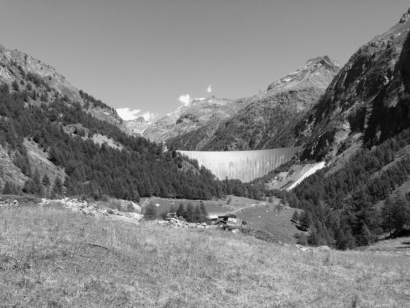
Valpelline
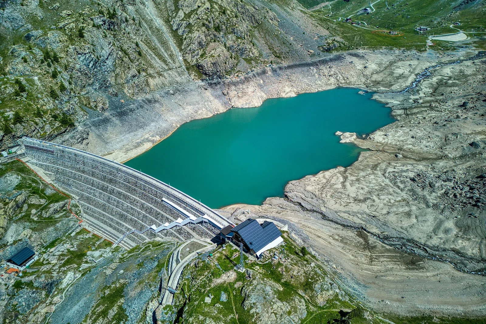
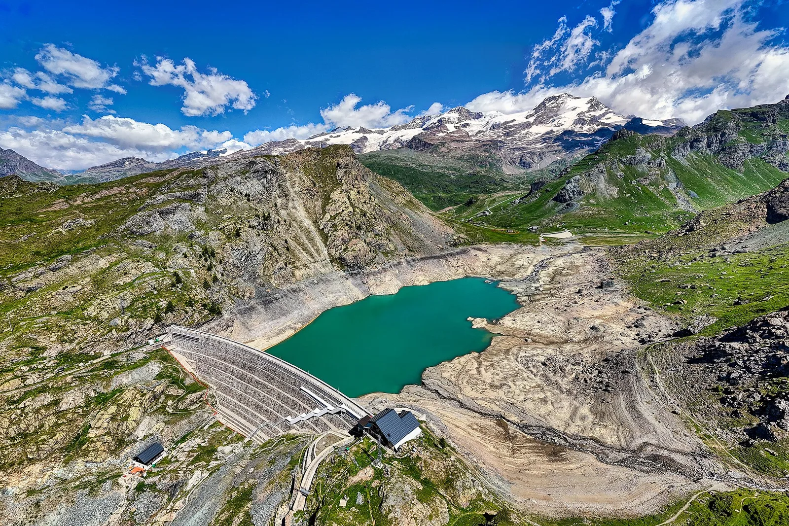
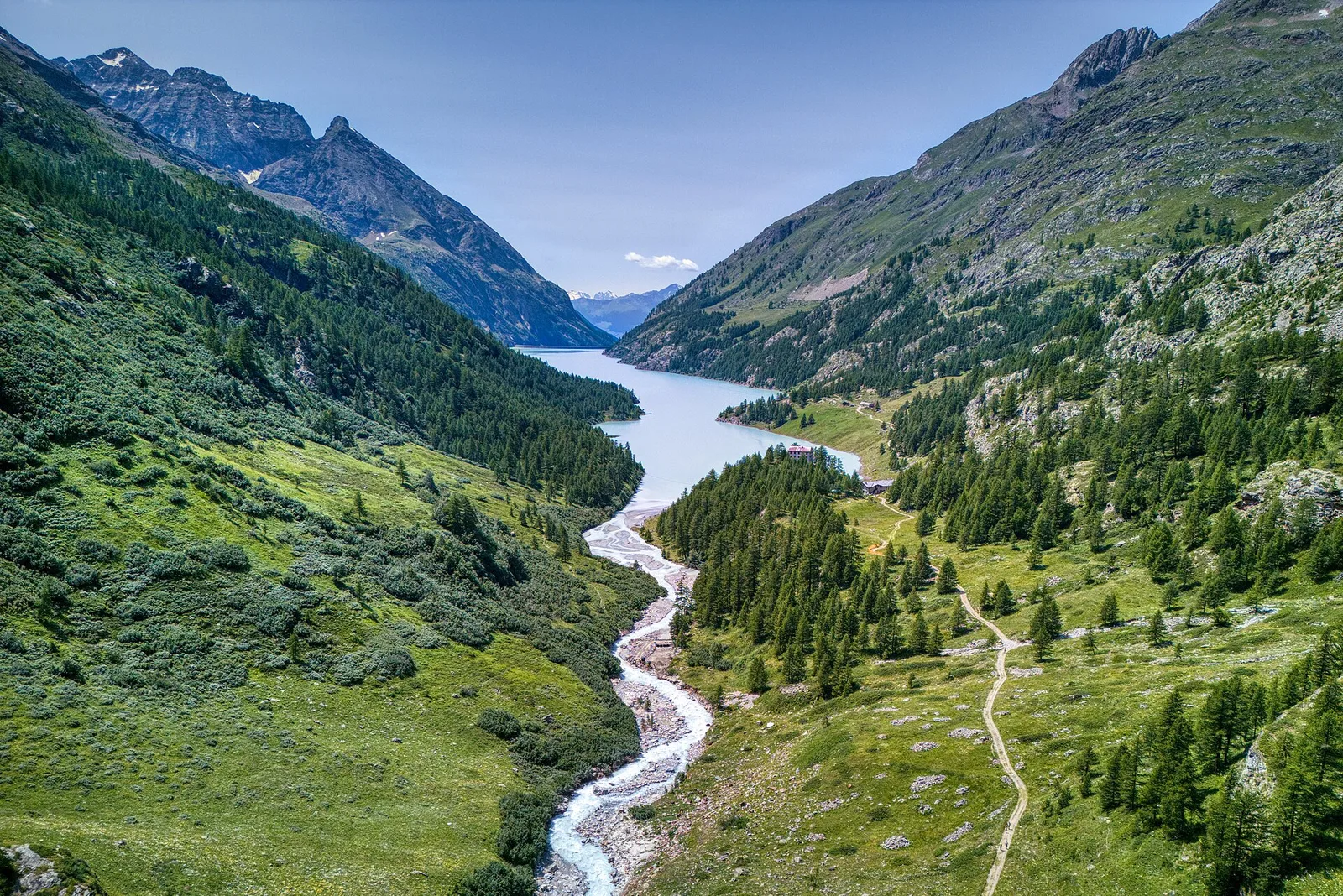
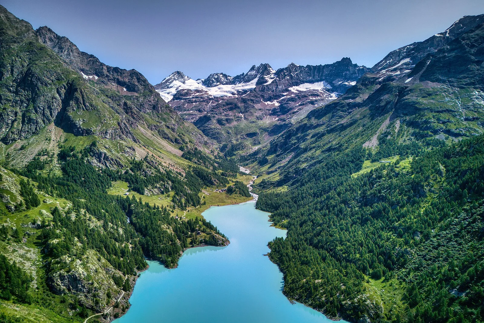
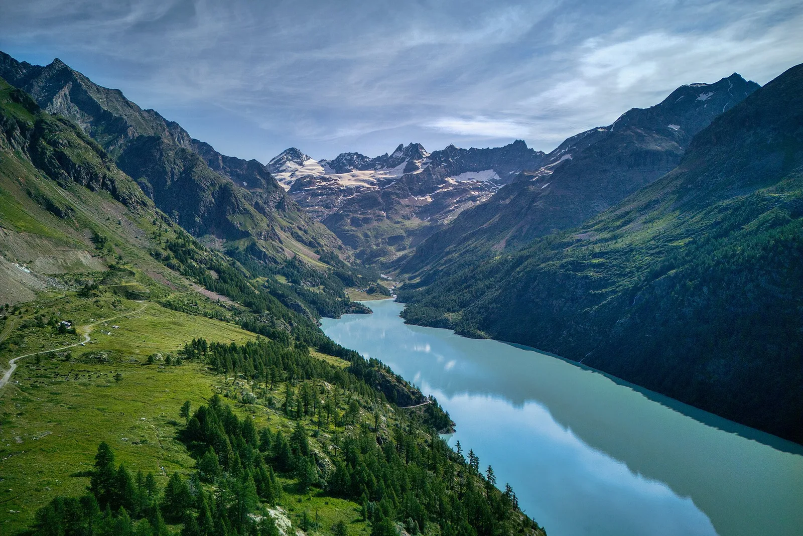
From the Place Moulin dam, the trail climbs the upper Valpelline to the Alpe Tsa de Tsan (2615 m), deep within a glacial landscape among the highest terrain of the Aosta Valley.
Valpelline
A long route at the head of Valpelline: from the Place Moulin dam to the Col di Livournea at 2,850 metres, among water, pastures and high mountains.
Valpelline
From Place-Moulin to Lac Mort (trail 7), Bionaz: 4.9 km, +877 m, E. A steep climb to a glacial lake.
Valpelline
From the Place Moulin dam, climb the glacial valley at the head of Valpelline to the Nacamuli refuge, below Col Collon — an EE route for fit hikers.
Valpelline
Along Lake Place-Moulin to Rifugio Prarayer (trail 9-10), Bionaz: 4.6 km, almost flat, T. A walk for everyone.
Valle del Lys
4.6 km · +1151 m · EE — from Plan Coummarial to Mont Mars (Lys Valley).

Valle del Lys
5.3 km · +815 m · E — from Plan Coumarial to Rifugio Coda (Lys Valley).
Bassa Valle
3.8 km · +581 m · E — from Plan de Brun to Fey (Central Valley).

Valpelline
6 km · +1217 m · E — from Ponte Vernosse to Col de L'Arpeyssaou (Lys Valley).

Valpelline
6.4 km · +1365 m · E — from Ponte Vernosse to Col de Saint-Barthélemy (Lys Valley).

Valpelline
6.8 km · +1318 m · E — from Ponte Vernosse to Col Vamea (Lys Valley).
Valle del Lys
1.8 km · +448 m · E — from Posa to Saroun (Lys Valley).

Valpelline
From Pouillaye (1626 m) to Colle di Montagnaye (2907 m): a demanding border crossing between the Valpelline and the Swiss Canton of Valais.
Valpelline
7.9 km · +832 m · E — from Praz to Bivacco Reboulaz (Valpelline).

Valle del Lys
EE route from Quinçod (1030 m) to Colle Chasten (2549 m): 1708 m gain from the valley floor. Experienced hikers only, early start mandatory.
Valle del Lys
From Quinçod (1030m) to Colle Chasten (2549m) via Merendiou: 8.6 km EE with 1708 m of ascent, crossing all altitude bands of the Val d'Ayas.

Valle del Lys
6.6 km · +1335 m · E — from Quinçod to Merendiou (Ayas Valley).
Valle del Lys
4.3 km · +1026 m · EE — from Rifugio Alpenzù to Passo di Valfredda (Champorcher Valley).

Valle del Lys
2.4 km · +434 m · E — from Rifugio Arp to Col de Valfredda (Ayas Valley).

Valle del Lys
2.6 km · +518 m · EE — from Rifugio Arp to Punta Valfredda (Ayas Valley).
Valle del Lys
1.7 km · +418 m · EEA — from Rifugio Coda to Mont Mars (Lys Valley).
Valle del Lys
3.6 km · +529 m · E — from Rifugio del Lys to Colle Salza (Lys Valley).
Valle del Lys
6.4 km · +1094 m · EE — from Rifugio del Lys to Rifugio Mantova (Lys Valley).

Valle del Lys
5.5 km · +259 m · E — from Rifugio Gabiet to Bivacco Gastaldi (Lys Valley).
Valle del Lys
3.2 km · +513 m · E — from Rifugio del Gabiet to Passo Zube (Lys Valley).

Valpelline
1.5 km · +312 m · EE — from Rifugio Oratorio di Cunéy to Becca Fontaney (Valpelline).

Valpelline
2.4 km · +348 m · E — from Rifugio Prarayer to Alpe Braulé (Valpelline).
Valpelline
From Rifugio Prarayer (2002m) to Col di Valcorneraz (3086m): 5.8 km EE — ancient pass between Valpelline and Valtournenche in high-mountain terrain.
Valpelline
Rifugio Prarayer (2002 m) to Rifugio Aosta (2790 m), upper Valpelline. EEA route across glacial terrain; harness, ice axe and crampons required.

Valle del Lys
6.1 km · +1025 m · E — from Rikurt to Muni (Ayas Valley).
Valle del Lys
5.1 km · +1333 m · EE — from Rong to Passo dell'Alpetto (Champorcher Valley).
Valle del Lys
4.8 km · +1211 m · EE — from Rong to Passo Valdobbiola (Champorcher Valley).
Bassa Valle
6.2 km · +567 m · E — from Rovarey to Santuario Notre Dame de la Garde (Valtournenche).
Valpelline
2.9 km · +570 m · E — from Ru to Plan Faudery (Valpelline).
Valpelline
4.9 km · +0 m · E — from Vaud to Châtelair (Valpelline).
Valle del Lys
4.7 km · +880 m · E — from Sainte-Marguerite to Col de Carisey (Central Valley).

Valle del Lys
4.2 km · +802 m · EE — from Sainte-Marguerite to Col Giassit (Central Valley).
Valle del Lys
6.6 km · +837 m · E — from Sainte-Marguerite to Punta di Cressa (Central Valley).
Valle del Lys
13.1 km · +0 m · E — from Baite di David to Lysbalma (Champorcher Valley).
Valpelline
4.5 km · +1016 m · EE — from Servaz to Cima Bianca (Valpelline).
Valpelline
3.3 km · +665 m · E — from Servaz to Rifugio Oratorio di Cunéy (Valpelline).
Valle del Lys
6.6 km · +1067 m · E — from Stafal to Col d'Olen (Lys Valley).
Valle del Lys
6.4 km · +1355 m · E — from Staffal to Alta Luce (Hochliecht) (Lys Valley).
Valle del Lys
6.9 km · +1063 m · E — from Staffal to Col D'Olen (Lys Valley).

Valle del Lys
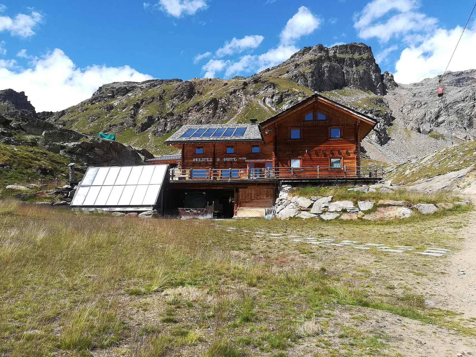
6.5 km · +838 m · E — from Staffal to Orestes Huette (Lys Valley).

Valle del Lys
4.7 km · +1088 m · E — from Staffal to Passo Inferiore della Bettolina (Lys Valley).

Valle del Lys
8.4 km · +1020 m · EE — from Staffal to Punta Telcio (Lys Valley).

Valle del Lys
3.4 km · +539 m · E — from Staffal to Rifugio del Lys (Lys Valley).
Valle del Lys
8.6 km · +1731 m · EE — from Staffal to Rifugio Mantova (Lys Valley).

Valle del Lys
8.6 km · +1187 m · E — from Steina to Passo del Maccagno (Champorcher Valley).
Valle del Lys
8.6 km · +1145 m · E — from Steina to Passo di Loo (Champorcher Valley).
Valle del Lys
4.3 km · +155 m · T — from Bivio Villa Margherita to Start 9 (Champorcher Valley).
Valle del Lys
Estoul (1884 m) to Col de Palasinaz (2676 m), Val d'Ayas: scenic pass linking the valley to Champoluc. 6.3 km, +797 m, E.
Valle del Lys
In the commune of Brusson, Val d'Ayas: a route among hamlets and alpine pastures on the sunny slope with valley views.

Valle del Lys
In the commune of Brusson, Val d'Ayas: an accessible itinerary among hamlets and pastures on the sunny slope.
Valle del Lys
In the commune of Brusson, Val d'Ayas: a mid-altitude route between hamlets and wooded areas of the slope.

Valle del Lys
From Estoul (1884m) to Rifugio Arp (2425m): 6.3 km Tourist-rated across open upper Val d'Ayas pastures. Suitable for all, base for more demanding excursions.
Valle del Lys
3.5 km · +723 m · E — from Strada per Tschalvrino to Col Ranzola (Champorcher Valley).
Valle del Lys
2.8 km · +590 m · E — from Start S2 (strada per Tschalvrino) to Weissmatten (Champorcher Valley).

Valle del Lys
7.5 km · +1317 m · EE — from Sassa to Rifugio Coda (Central Valley).
Valle del Lys
8.7 km · +0 m · E — from Rifugio Coda to Rifugio della Barma (Lys Valley).

Valle del Lys
15.6 km · +0 m · E — from Rifugio della Barma to Niel (Lys Valley).

Valle del Lys
12.7 km · +1425 m · E — from Capoluogo to Crest (Champorcher Valley).
Valpelline
16.3 km · +1383 m · EE — from Rifugio Barmasse to Rifugio Cuney (Central Valley).
Valpelline
15.8 km · +0 m · E — from Rifugio Cuney to Les Sergnoux (Valpelline).

Valpelline
12.1 km · +1236 m · E — from Les Sergnoux to Rey (Lys Valley).
Valpelline
5 km · +1041 m · E — from Rey to Rifugio Champillon (Valpelline).
Bassa Valle
0.8 km · +0 m · E — from Tour d'Hereraz to Perloz (Central Valley).
Valpelline
4.5 km · +390 m · E — from Rey to Chatellair-Dessus (Valpelline).
Valpelline
3.8 km · +78 m · E — from Rey to Chatellair-Dessus (Valpelline).
Turtmanntal — Mattertal (Vallese)
The Augstbordpass, an ancient Walser route to the Mattertal.
Valpelline — Valle del Gran San Bernardo
From the By basin to the Col Champillon, on the Tour des Combins line.
Val de Bagnes — Valpelline
The Fenêtre de Durand returns to the Aosta Valley and closes the loop.

Valle del Lys
From the Walser capital to Lake Gabiet.

Val d’Ayas — Valle del Lys
The Pinter pass closes the Aosta Valley loop of the Rosa.
Valle del Lys — Valsesia (Piemonte)
The Col d’Olen and the descent into Valsesia, beyond the Aosta Valley.
Valsesia — Valle Anzasca (Piemonte)
The Colle del Turlo, a long, solemn crossing on a military mule track.
Valle Anzasca — Saastal (Vallese)
The Monte Moro pass and the golden Madonna facing the east face.
Mattertal (Vallese)
The longest suspension bridge in the Alps and the arrival in Zermatt.
Valtournenche — Val d’Ayas
The Cime Bianche valley, a natural bridge between the Matterhorn and Monte Rosa.

Valpelline
4 km · +235 m · E — from Crétaz to Crétaz (Lys Valley).
Valpelline
A scenic loop above Bionaz, from La Culoz via Mont Echeut and Sevey: 1,200 metres of ascent among alps and balconies over Valpelline.
Valle del Lys
6.8 km · +1156 m · E — from Tzendelabò to Colle della Vecchia (Great St Bernard Valley).

Valpelline
4.8 km · +1099 m · E — from Capoluogo to Alpeggio Verdignolettaz (Valtournenche).
Valpelline
5.6 km · +1484 m · E — from Valpelline to Col Fouillou (Valtournenche).
Valpelline
4.1 km · +598 m · E — from Capoluogo to Billiouque (Valtournenche).

Valpelline
2.5 km · +231 m · E — from Valpelline capoluogo to Crête (Valtournenche).
Valpelline
3.3 km · +419 m · E — from Valpelline capoluogo to Capoluogo (Valtournenche).

Valpelline
6.1 km · +1467 m · E — from Montcorvé to Col Arpeyssaou, biv. La Lié (Valtournenche).
Valpelline
5.3 km · +1120 m · E — from Vernosse to Cappella di Verdonaz (Lys Valley).
Valpelline
8.9 km · +1318 m · E — from Vernosse to Col Vamea (Lys Valley).
Valle del Lys
3.4 km · +311 m · E — from Prima di Gressoney-La-Trinité to Alpezu grande (Champorcher Valley).
Valle del Lys
2.8 km · +159 m · E — from Wiessmatten to Col Ranzola (Champorcher Valley).
Valle del Lys
1.8 km · +241 m · E — from Weissmatten to Colle di Garda (Champorcher Valley).
Valle del Lys
3.5 km · +533 m · E — from Weissmatten to Passo Frudière (Champorcher Valley).
Valle del Lys
2.7 km · +397 m · E — from Strada per Tschalvrino to Col Ranzola (Champorcher Valley).

Valle del Lys
1 km · +254 m · E — from Yair desor to Mouleret (Great St Bernard Valley).
Valle del Lys
6.5 km · +1391 m · E — from Zengji to Colle del Lupo (Ayas Valley).
Valle del Lys
6.3 km · +1402 m · E — from Zengji to Colle Marmontana (Ayas Valley).

Valle del Lys
7.1 km · +1699 m · EE — from Zer Schmettò to Bivacco Lateltin (Champorcher Valley).
Valle del Lys
4 km · +1011 m · E — from Zer Trino to Passo Frudière (Champorcher Valley).